
Italy · Terrestrial
Appennino Tosco-Emiliano National Park
National park of 26,149 hectares in Italy, established in 2001.
Overview
National park of 26,149 hectares in Italy, established in 2001.
Appennino Tosco-Emiliano National Park is located in Italy (Europe). It is a predominantly terrestrial area. Established in 2001, it covers about 26,149 hectares.
Protections and designations
UNESCO Biosphere Reserve
Natura 2000 · habitats (SAC) · 15 sites
- Abetina Reale, Alta Val Dolo IT4030005
- Crinale dell'Appennino parmense IT4020020
- Gessi Triassici IT4030009
- Monte Acuto - Groppi di Camporaghena IT5110004
- Monte Acuto, Alpe di Succiso IT4030001
- Monte Castellino - Le Forbici IT5120002
- and 9 more
Natura 2000 · birds (SPA) · 10 sites
- Abetina Reale, Alta Val Dolo IT4030005
- Crinale dell'Appennino parmense IT4020020
- Gessi Triassici IT4030009
- Monte Acuto, Alpe di Succiso IT4030001
- Monte la Nuda, Cima Belfiore, Passo del Cerreto IT4030003
- Monte Prado IT4030006
- and 4 more
Protected as a national park. International labels and designations: UNESCO Biosphere Reserve (“Appennino Tosco-Emiliano”) and Natura 2000 network (16 sites). Key dates: first Natura 2000 site under the Birds Directive in 1988 and established in 2001.
In our collections
Timeline
-
1988
First Natura 2000 site under the Birds Directive 8 such sites designated up to 2004
-
2001
Established
Sources: Wikidata (CC0) for establishment and international labels; EEA Natura 2000 database (CC-BY 4.0) for site designation dates.
Frequently asked questions
Where is Appennino Tosco-Emiliano National Park?
In Italy (Europe). Representative point: 44.3183° N, 10.2406° E.
How large is Appennino Tosco-Emiliano National Park?
About 26,149 hectares (261 km²). It is the 18th largest of the 26 national parks in Italy covered by Parkavela.
When was Appennino Tosco-Emiliano National Park established?
In 2001.
What habitats and landscapes does Appennino Tosco-Emiliano National Park include?
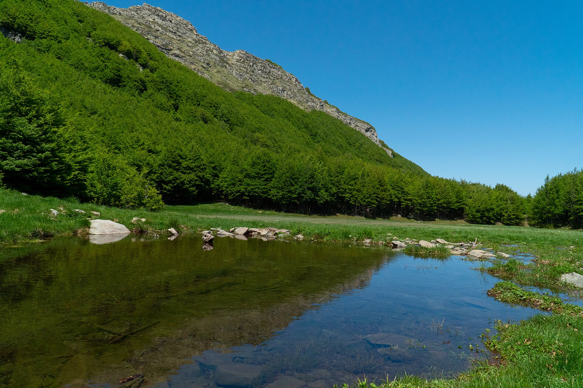
A terrestrial area, with forests and mountains.
What rocks lie beneath Appennino Tosco-Emiliano National Park?
According to the European 1:1 million geological map (EGDI), the bedrock consists mainly of marly limestones (63% of sampled points), dolomites (19%) and mudstones (13%). These are mostly sedimentary rocks. The geological units date mainly from the Cenozoic (63% of sampled points).
What is the highest point of Appennino Tosco-Emiliano National Park?
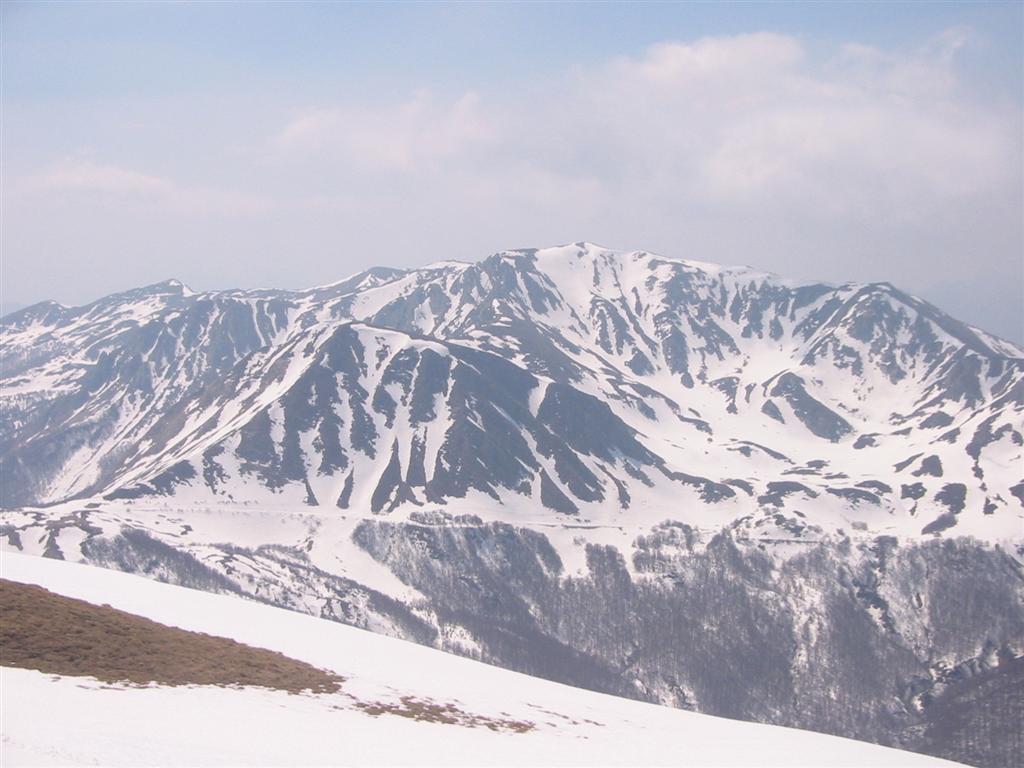
Monte Cusna, at 2,120 m (OpenStreetMap).
What are the main summits of Appennino Tosco-Emiliano National Park?
Monte Cusna (2,120 m), Monte La Piella (2,077 m), Sasso del Morto (2,076 m), Antecima Est Monte La Piella (2,070 m) and Alpe di Succiso (2,016 m) (OpenStreetMap).
Which international labels apply to Appennino Tosco-Emiliano National Park?
UNESCO Biosphere Reserve (“Appennino Tosco-Emiliano”) and Natura 2000 network (16 sites).
When is the best time to visit Appennino Tosco-Emiliano National Park?
Best time to visit: from May to September, with average temperatures of 12 to 20 °C and moderate rainfall.
What is there to see in Appennino Tosco-Emiliano National Park?
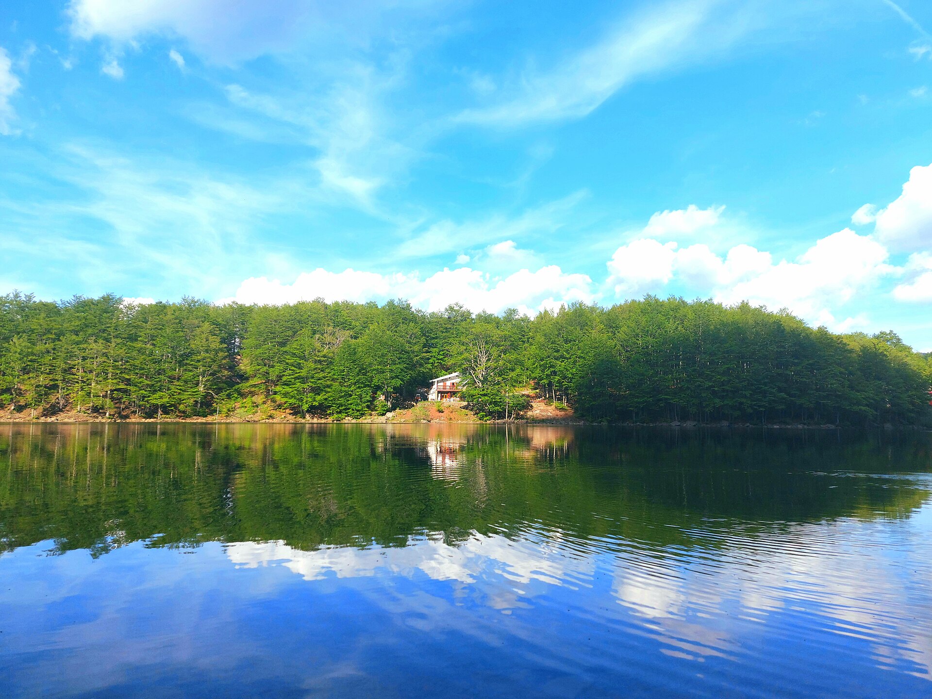
22 viewpoints, 4 waterfalls, 35 lakes and ponds and 40 caves, including Passo degli Scaloni (1,928 m), Cascate del Lavacchiello, Lago Martini (1,714 m) and Buca della Neve (1,637 m) (OpenStreetMap).
Where can I stay in Appennino Tosco-Emiliano National Park?
36 mountain huts and 5 campsites, including Rifugio Bargetana (1,740 m), Campeggio Calamone and Bivacco Rosario (1,613 m) (OpenStreetMap).
Are there historic monuments in Appennino Tosco-Emiliano National Park?
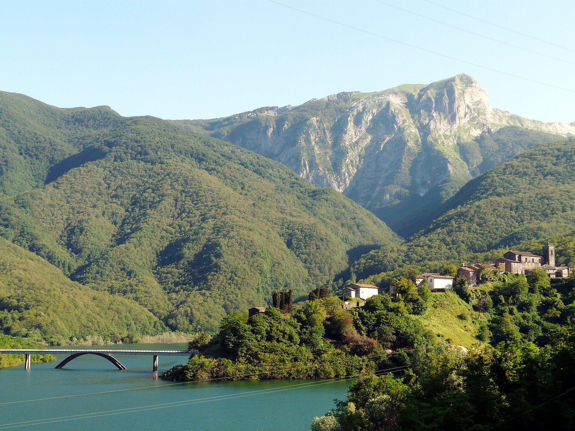
Yes. According to Wikidata, 12 monuments protected as Italian national cultural heritage stand within the boundary. For example: “Chiesa dell'Assunzione di Maria Vergine” in Corniglio, “Castle of Bismantova” in Castelnovo ne' Monti and “Centro Visitatori Orecchiella” in San Romano in Garfagnana.
What is the nearest large city to Appennino Tosco-Emiliano National Park?
Nearest towns of over 50,000 people, as the crow flies: Carrara (21 km) and Massa (24 km). Nearest airport: Parma (PMF), about 41 km away.
How can I reach Appennino Tosco-Emiliano National Park by train?
The nearest railway station is Piazza al Serchio, about 4 km from the site boundary.
Where can I get visitor information on site?
Centro Visitatori Orecchiella.
Are there waymarked hiking trails in Appennino Tosco-Emiliano National Park?
Yes. Waymarked hiking routes listed in OpenStreetMap: 284, including E 1, Sentiero di spartiacque appenninico, Grande Escursione Appenninica and Via Matildica del Volto Santo. The “00 · Sentiero di spartiacque appenninico” route runs for about 46 km through the site, with some 960 m of ascent on its longest section.
Which species can be seen in Appennino Tosco-Emiliano National Park?
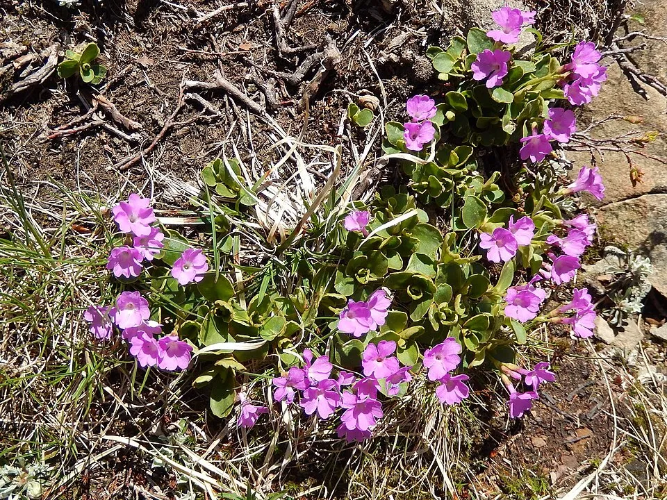
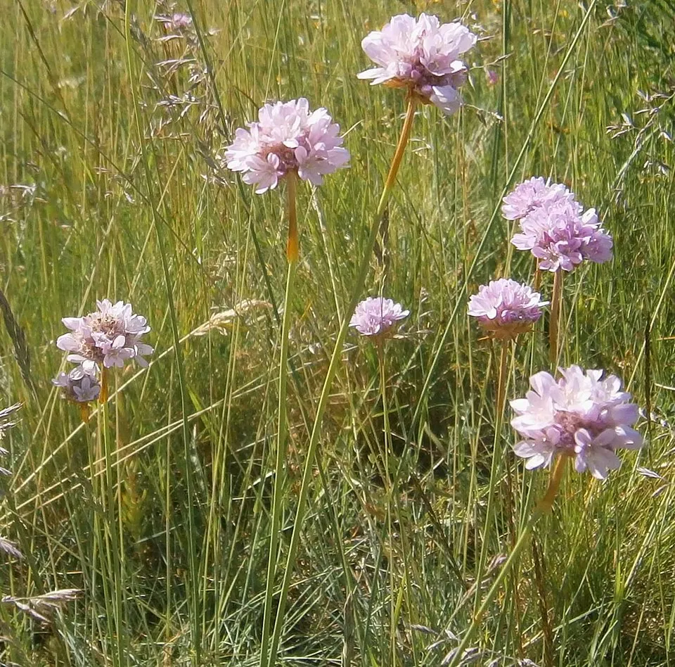
Among the species most often recorded on GBIF are Fagus sylvatica (European Beech), Primula apennina, Quercus cerris (Turkey Oak) and Armeria arenaria.
What is the official website of Appennino Tosco-Emiliano National Park?
© OpenStreetMap
Download the boundary: GeoJSON · GPX Boundary © OpenStreetMap contributors (ODbL).
Geography
The representative point of the site lies at around 970 m above sea level. Over the 1996–2025 period, the mean annual temperature is about 10.2 °C and total precipitation reaches roughly 1,319 mm per year. The warmest month is usually July, the coolest January, and the wettest November. According to the European 1:1 million geological map (EGDI), the bedrock consists mainly of marly limestones (63% of sampled points), dolomites (19%) and mudstones (13%). These are mostly sedimentary rocks. The geological units date mainly from the Cenozoic (63% of sampled points).
Area
- Area
- 26,149 ha
- Elevation
- 970 m
- Median elevation
- 1,372 m
- Mean slope
- 21°
- Coordinates
- 44.3183, 10.2406
Terrain: Mapzen Terrain Tiles (SRTM, USGS)
Elevation bands
- below 500 m 1%
- 500–1,000 m 11%
- 1,000–1,500 m 55%
- 1,500–2,000 m 33%
share of the site in each elevation band (smoothed terrain model: summits are rounded off) · Terrain: Mapzen Terrain Tiles (SRTM, USGS)
Bedrock
- Marly limestones 63 %
- Dolomites 19 %
- Mudstones 13 %
- Limestones 6 %
Sedimentary rocks 100 % · Main age: Cenozoic (63%)
Source: EGDI 1:1M geological map (EuroGeoSurveys and national geological surveys), CC BY 4.0 · 16 sampled points within the site.
Main summits
- Monte Cusna2,120 m
- Monte La Piella2,077 m
- Sasso del Morto2,076 m
- Antecima Est Monte La Piella2,070 m
- Alpe di Succiso2,016 m
- Monte Vecchio1,982 m
- Monte Casarola1,978 m
- Cima dell'Angelo1,966 m
- Monte Cipolla1,959 m
- Monte Casarola anticima nord1,958 m
Data © OpenStreetMap contributors (ODbL)
Climate
● Mean temperature (°C) · ▮ Precipitation (mm)
Source: Copernicus ERA5-Land (C3S, doi:10.24381/cds.68d2bb30), monthly averages 1996–2025 interpolated to the representative point, temperatures adjusted for elevation.
Contains modified Copernicus Climate Change Service information 2026. Neither the European Commission nor ECMWF is responsible for any use that may be made of the Copernicus information or data it contains.
Natural habitats
According to CORINE Land Cover (2018), the site is mainly made up of forests (74%) and grassland and meadows (16%). Woodland is mostly broadleaved. Elevation ranges from about 580 m to 2,120 m (highest point: Monte Cusna). Median elevation is 1,372 m, and 33% of the site lies above 1,500 m (SRTM elevation model). The terrain is steep: 20% of slopes exceed 30° (mean slope 21°). The 16 Natura 2000 sites overlapping the area list 41 habitats of European interest (9 priority), the most extensive being Asperulo-Fagetum beech forests, Luzulo-Fagetum beech forests and Alpine and Boreal heaths.
Biodiversity
Based on occurrences aggregated by GBIF, several species are regularly recorded within the site. Among the most frequent are Fagus sylvatica (European Beech), Primula apennina, Quercus cerris (Turkey Oak) and Armeria arenaria. The full list of documented taxa is shown below. The overlapping Natura 2000 sites list 104 species of European interest: 42 birds, 23 mammals, 4 reptiles, 8 amphibians, 4 fish, 12 invertebrates and 11 plants.
Habitats of European interest
From the official forms of the 16 Natura 2000 sites overlapping the area (areas reported for each whole site).
- Asperulo-Fagetum beech forests 4,027 ha
- Luzulo-Fagetum beech forests 3,551 ha
- Alpine and Boreal heaths 2,463 ha
- Siliceous alpine and boreal grasslands 1,718 ha
- Castanea sativa woods 875 ha
- Pannonian-Balkanic turkey oak-sessile oak forests 530 ha
- Lowland hay meadows (Alopecurus pratensis, Sanguisorba officinalis) 501 ha
- Semi-natural dry grasslands and scrubland facies on calcareous substrates (Festuco-Brometalia) (* important orchid sites) 492 ha
and 33 more
Species of European interest
Birds · 42
Common Kingfisher (Alcedo atthis) breeding, Tawny Pipit (Anthus campestris) breeding passage wintering, Tree Pipit (Anthus trivialis) passage breeding, Common Swift (Apus apus) passage, Golden Eagle (Aquila chrysaetos) passage breeding resident, European Nightjar (Caprimulgus europaeus) passage breeding, Eurasian Treecreeper (Certhia familiaris) passage breeding, Little Ringed Plover (Charadrius dubius) breeding, Short-toed Snake Eagle (Circaetus gallicus) passage breeding, Western Marsh Harrier (Circus aeruginosus) passage, Common Cuckoo (Cuculus canorus) breeding passage, Common House Martin (Delichon urbicum) breeding passage and 30 more
Mammals · 23
Barbastelle (Barbastella barbastellus), Grey wolf (Canis lupus), Serotine bat (Eptesicus serotinus), Savi's Pipistrelle (Hypsugo savii), Crested porcupine (Hystrix cristata), European pine marten (Martes martes), Common bent-wing bat (Miniopterus schreibersii), Hazel dormouse (Muscardinus avellanarius), Western Polecat (Mustela putorius), Bechstein's bat (Myotis bechsteinii), Lesser mouse-eared myotis (Myotis blythii), Daubenton's bat (Myotis daubentonii) and 11 more
Reptiles · 4
Western Whip Snake (Hierophis viridiflavus), Western green lizard (Lacerta bilineata), Common wall lizard (Podarcis muralis), Aesculapian Snake (Zamenis longissimus)
Amphibians · 8
Green Toad (Bufotes viridis complex), Edible frog (Pelophylax esculentus), Agile frog (Rana dalmatina), Italian stream frog (Rana italica), Common frog (Rana temporaria), Italian Cave Salamander (Speleomantes italicus), North-west Italian cave salamander (Speleomantes strinatii), Italian crested newt (Triturus carnifex)
Fish · 4
Brook barbel (Barbus caninus), Italian Barbel (Barbus plebejus), South European Nase (Protochondrostoma genei), Italian Riffle Dace (Telestes muticellus)
Invertebrates · 12
White-clawed Crayfish (Austropotamobius pallipes), Greater Capricorn Beetle (Cerambyx cerdo), Eastern Eggar (Eriogaster catax), Jersey Tiger (Euplagia quadripunctaria), Water beetle (Graphoderus bilineatus), Stag beetle (Lucanus cervus), Large copper (Lycaena dispar), Hermit beetle (Osmoderma eremita), Apollo (Parnassius apollo), Clouded apollo (Parnassius mnemosyne), Rosalia longicorn (Rosalia alpina), Narrow-mouthed whorl snail (Vertigo angustior)
Plants · 11
Aquilegia alpina, Ladder spleenwort (Asplenium adulterinum), Snowdrop (Galanthus nivalis), Great Yellow Gentian (Gentiana lutea), Adriatic lizard orchid (Himantoglossum adriaticum), Fir Clubmoss (Huperzia selago), Interrupted clubmoss (Lycopodium annotinum), Stag's-horn Clubmoss (Lycopodium clavatum), Ground And Creeping Clubmosses (Lycopodium spp.), Primula apennina, Butcher's-broom (Ruscus aculeatus)
Source: Natura 2000 standard data forms (EEA, CC-BY 4.0). Not exhaustive: sensitive species are not published.
Species to look out for
Observed species
Occurrences documented via GBIF; they are neither an exhaustive inventory nor proof of current presence.
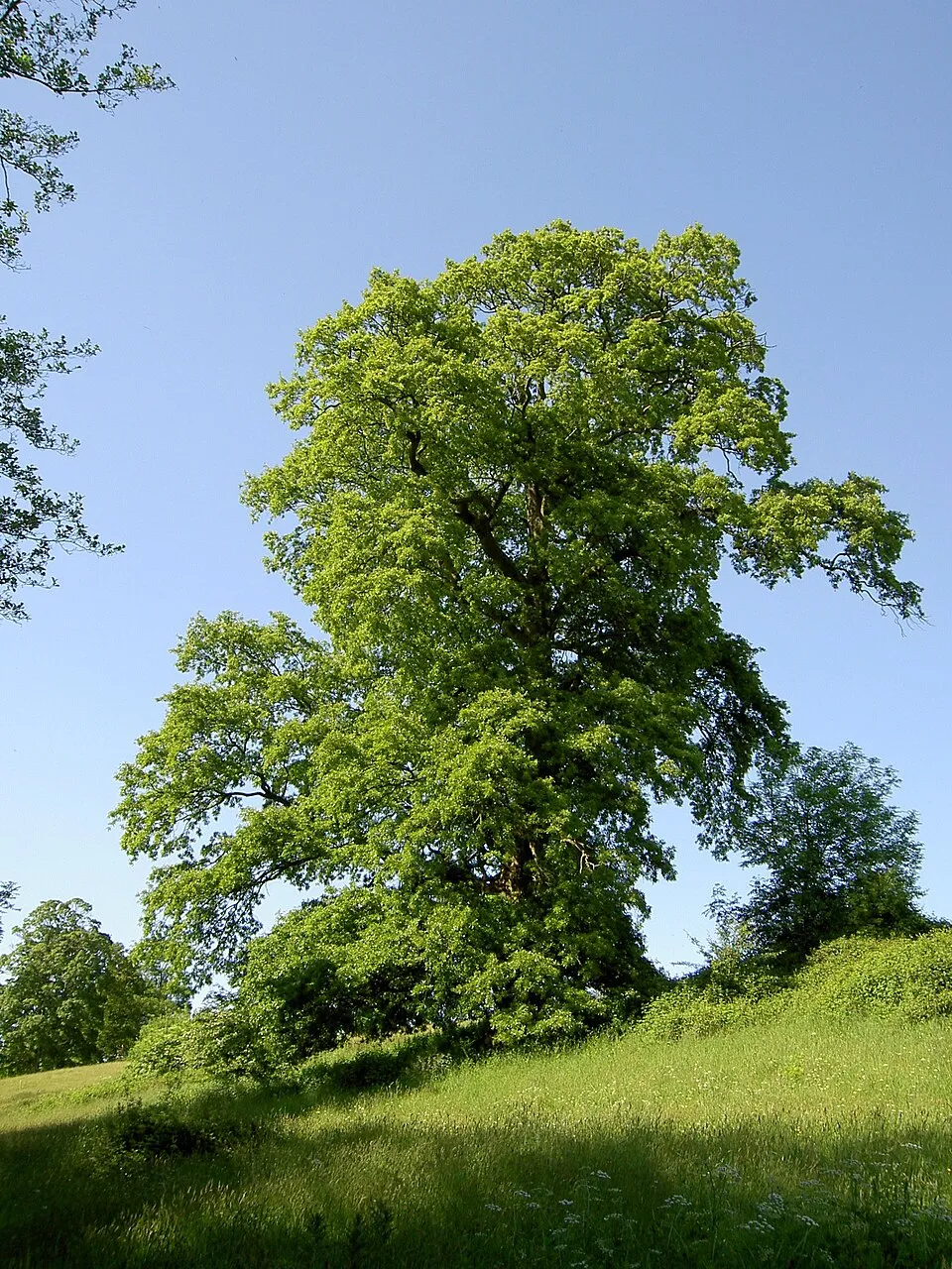
- European Beech · Fagus sylvatica · 754
- Primula apennina · 242
- Turkey Oak · Quercus cerris · 70
- Armeria arenaria · 59
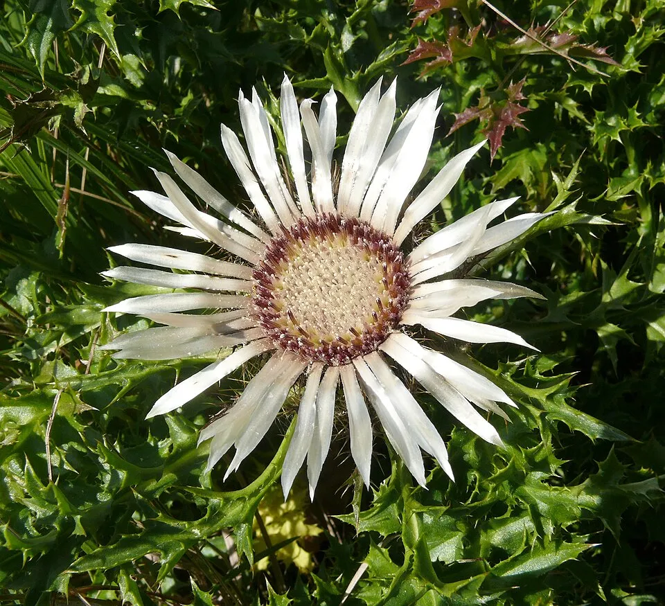
- Stemless carline thistle · Carlina acaulis · 52
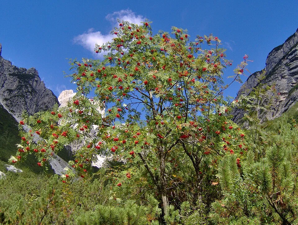
- Rowan · Sorbus aucuparia · 49
- Highland rush · Oreojuncus trifidus · 44
- Eurasian Chaffinch · Fringilla coelebs · 43
- Bilberry · Vaccinium myrtillus · 43
- Stinking Hellebore · Helleborus foetidus · 42
- Sweet Chestnut · Castanea sativa · 41
- Alchemilla transiens · 38
+18 more species
- Keratella cochlearis · 37
- Coal tit · Periparus ater · 37
- Common Blackbird · Turdus merula · 37
- Trichocerca elongata · 36
- Lecane lunaris · 36
- Festuca robustifolia · 36
- Alpine clover · Trifolium alpinum · 36
- Keratella quadrata · 35
- Trichotria tetractis · 35
- Eurasian blue tit · Cyanistes caeruleus · 35
- Great tit · Parus major · 35
- Dwarf Elder · Sambucus ebulus · 32
- Globe-headed Rampion · Phyteuma hemisphaericum · 32
- Viola ferrarinii · 32
- Lecane luna · 31
- Dianthus virgineus · 31
- Asplanchna priodonta · 30
- Lecane flexilis · 30
Records: GBIF.org (CC-BY). Names: Wikidata (CC0), GBIF. Photos: Wikimedia Commons.
Conservation challenges
The primary purpose of the site is to preserve its natural habitats and the biodiversity they support. The species recorded (Biodiversity tab) reflect its ecological value. The designations it holds frame its management and the control of land use.
According to Global Forest Change data (University of Maryland, Global Forest Watch), about 234 ha of tree cover were lost within the boundary between 2001 and 2023 (under 1% of its area), peaking in 2014 and 2023. These losses include logging, storms and fires, and do not account for regrowth. According to the European CORINE Land Cover inventory (Copernicus), land cover changed on about 740 ha of the site between 1990 and 2018 (3% of its area): forest grew by 596 ha, mostly at the expense of open natural land, while open natural land shrank by 409 ha, mostly giving way to forest. Forest felling and regrowth add about 730 ha in total over the period. At night, 1% of the area gives off artificial light detectable from space (NASA VIIRS Black Marble composite, 2016): it ranks among the darkest places in the atlas for this country. According to the Natura 2000 forms, of 40 assessed habitats of European interest, 28 are in excellent condition and 1 in average or reduced condition. According to the Water Framework Directive assessment (2022 river basin management plans, data 2014–2020), 70% of the 87 km of rivers assessed within the site are in good or high ecological status.
Pressure indicators
Tree cover lost
234 ha
2001–2023 · < 1% of the area
20012023
Fires since 2016
0
No large fire mapped (fires over about 30 ha)
Light at night
1%
of the area gives off artificial light visible from space
DarkLit
Land cover change
740 ha
changed cover, 1990–2018 · CORINE · 3% of the area
- +596 ha · forest
- −409 ha · open natural land
forest felling and regrowth: 730 ha in total
Rivers and lakes
70%
of the 87 km of assessed rivers in good or high ecological status · WFD 2022
assessments 2014–2020
Invasive alien species
2
recorded since 2000
Asian Lady Beetle
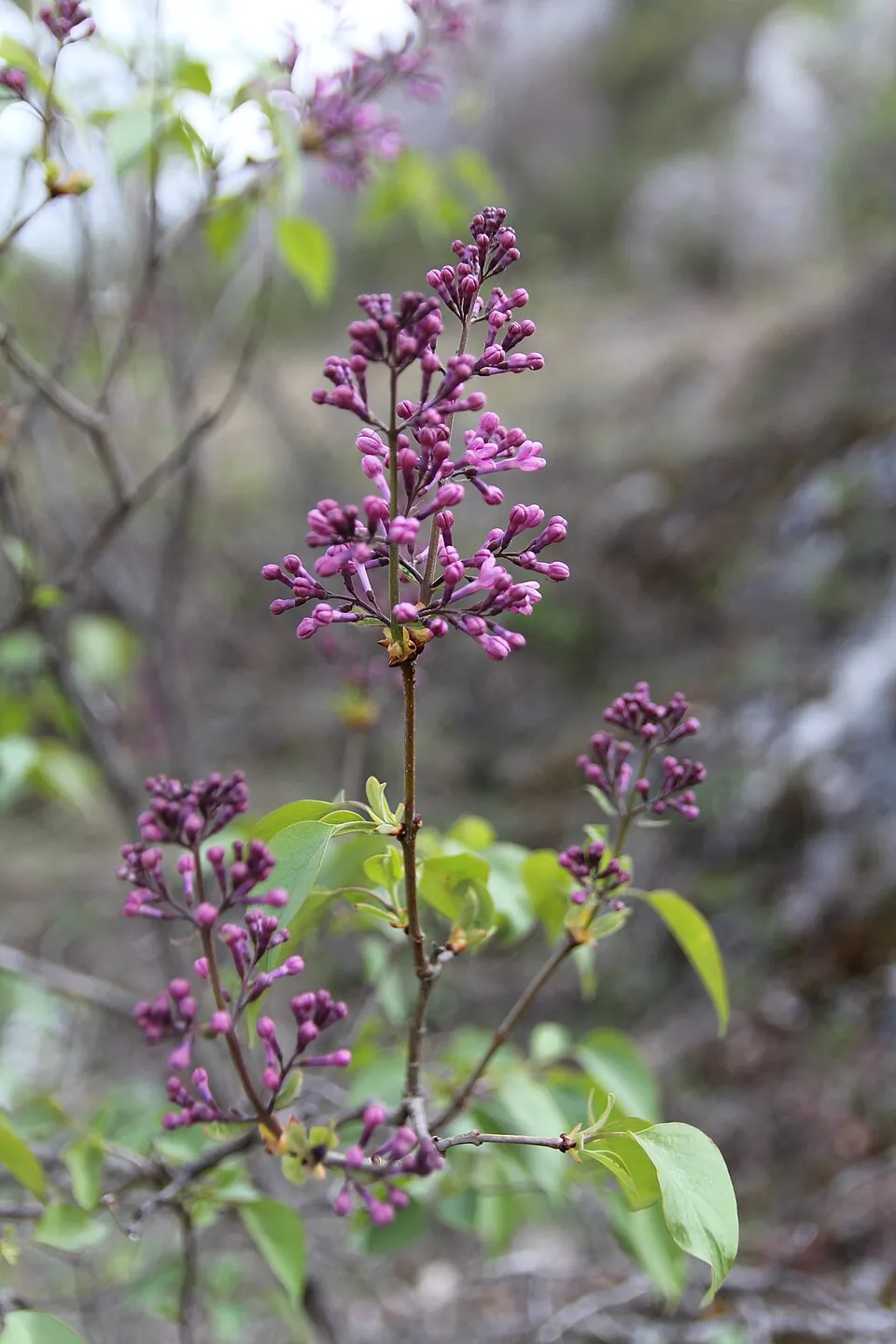 Common Lilac
Photos: Common Lilac © Aporia.j · CC BY-SA 4.0
Sources: Global Forest Change (Hansen et al., University of Maryland, via Global Forest Watch, CC-BY 4.0); EFFIS, European Commission / Copernicus; NASA Black Marble 2016 (public domain); CORINE Land Cover 2018 (Copernicus) or MODIS.
CORINE Land Cover Change 1990–2018: generated using European Union's Copernicus Land Monitoring Service information (EEA), aggregated by Parkavela; DOI 10.2909/f30f1000-7cf8-43bb-872c-5eb093911b24.
Ecological status of water bodies: European Environment Agency, WISE – Water Framework Directive, 3rd river basin management plans (2022), CC BY 4.0. Official national classification, not comparable between countries.
Invasive alien species: Global Register of Introduced and Invasive Species (ISSG, CC BY 4.0); Union list, Regulation (EU) 1143/2014 (INBO, CC0); GBIF.org records (CC0 / CC BY 4.0), at least 2 per species.
Practical information
Cities and airport
- Carrara
21 km as the crow flies - Massa
24 km as the crow flies - Airport: Parma (PMF)
41 km as the crow flies
Visitor information
- Centro Visitatori Orecchiella
within the site
Parking
44 public car parks listed within the site · 1 trailheads
CancelliP SecondarioParcheggio CentroParcheggio Palaghiaccio
Things to see
22 viewpoints · 4 waterfalls · 35 lakes and ponds · 40 caves
- Passo degli Scaloni
viewpoint · 1,928 m - Cascate del Lavacchiello
waterfall - Lago Martini
lake or pond · 1,714 m - Buca della Neve
cave · 1,637 m - Pietra Di Bismantova
viewpoint · 1,041 m
Where to stay
36 mountain huts · 5 campsites
- Rifugio Bargetana
Staffed hut · 1,740 m - Campeggio Calamone
campsite - Bivacco Rosario
Unstaffed hut · 1,613 m · 1 beds - Camping Il Faggio
campsite - Capanna del Braiola
Unstaffed hut · 1,610 m
Hiking
284 waymarked routes listed, including:
E 1Sentiero di spartiacque appenninicoGrande Escursione AppenninicaVia Matildica del Volto SantoSentiero dei Pastori
Trail difficulty
- T1 · easy hiking · 25% · 83 km
- T2 · mountain hiking · 60% · 189 km
- T3–T6 · demanding or alpine hiking · 15% · 45 km
317 km graded out of 735 km of paths
SAC scale (T1–T6) © OpenStreetMap contributors (ODbL): indicative only, check with the park.
By bike
Appennino Bike Tour [ABT] · 6 km
Signed cycle routes: this does not mean that cycling is allowed on footpaths.
Wheelchair access
accessible toilets: 1
Reported by OpenStreetMap contributors (ODbL); check with the park before visiting.
Data © OpenStreetMap contributors (ODbL) · Wikidata (CC0)
Routes © OpenStreetMap contributors (ODbL), via Waymarked Trails
Waymarked hiking routes
E1 E1 Toscana 02 Passo della Cisa - Lago Santo Parmense
6.7 km within the site ↗ 274 m↘ 92 m 1,259–1,535 m
up to T2 · mountain hiking
00 Sentiero di spartiacque appenninico
46.1 km within the site ↗ 956 m↘ 1,447 m 1,199–1,834 m
up to T4 · alpine hiking
GEA Grande Escursione Appenninica - Tappa 23
5.4 km within the site ↗ 274 m↘ 92 m 1,259–1,535 m
up to T2 · mountain hiking
VMVS Via Matildica del Volto Santo: Tappa 8
5.5 km within the site ↗ 316 m↘ 20 m 1,273–1,574 m
609 Sentiero dei Pastori
9.3 km within the site ↗ 44 m↘ 101 m 1,096–1,199 m
Tracks © OpenStreetMap contributors (ODbL), clipped to the boundary; elevation gain and profiles computed on the longest section from Mapzen Terrain Tiles (≈ 30 m), indicative only. Indicative difficulty (SAC scale, OpenStreetMap, via Waymarked Trails): check with the park.
Access and visiting
The nearest railway station is Piazza al Serchio, about 4 km from the site boundary. Nearest towns of over 50,000 people, as the crow flies: Carrara (21 km) and Massa (24 km). Nearest airport: Parma (PMF), about 41 km away. About 180,000 people live within 20 km of the site boundary, 79,000 of them within 10 km; some 950 people are estimated to live inside (GHSL estimate, 2020). Visitor information on site: Centro Visitatori Orecchiella. Public car parks listed within the site: 44, including Cancelli, P Secondario and Parcheggio Centro. Waymarked hiking routes listed in OpenStreetMap: 284, including E 1, Sentiero di spartiacque appenninico, Grande Escursione Appenninica and Via Matildica del Volto Santo. Of the roughly 320 km of paths with a difficulty grade in OpenStreetMap, 25% are easy hiking (T1), 60% mountain hiking (T2) and 15% demanding or alpine hiking (T3–T6). This is indicative only: check with the park. A signed cycle route crosses the site: “Appennino Bike Tour [ABT]” (OpenStreetMap). OpenStreetMap contributors list one wheelchair-accessible place: Percorso didattico Torbiera di Lagdei; check with the park before visiting. To see: 22 viewpoints, 4 waterfalls, 35 lakes and ponds and 40 caves, including Passo degli Scaloni (1,928 m), Cascate del Lavacchiello, Lago Martini (1,714 m) and Buca della Neve (1,637 m). Where to stay: 36 mountain huts and 5 campsites, including Rifugio Bargetana (1,740 m), Campeggio Calamone and Bivacco Rosario (1,613 m). To plan a visit (access, opening periods, visitor rules), it is best to consult the official information from the managing body and the official website listed in this page's sources.
Source: OpenStreetMap (ODbL), Wikidata (CC0), October 2026.
Built heritage
According to Wikidata, 12 monuments protected as Italian national cultural heritage stand within the boundary. Among them are 5 castles and fortifications, 4 religious buildings and 1 bridge, lighthouse, mill or working building. Examples include “Chiesa dell'Assunzione di Maria Vergine” in Corniglio, “Castle of Bismantova” in Castelnovo ne' Monti and “Centro Visitatori Orecchiella” in San Romano in Garfagnana.
5 castles and fortifications4 religious buildings1 bridge, lighthouse, mill or working building1 house or civic building1 prehistoric or archaeological site
-
Chiesa dell'Assunzione di Maria Vergine
Corniglio · 16th c. -
Castle of Bismantova
Castelnovo ne' Monti · 10th c. -
Centro Visitatori Orecchiella
San Romano in Garfagnana · 20th c. -
Botanical Garden "Maria Ansaldi" Pania di Corfino
Villa Collemandina · 20th c. -
Centrale idroelettrica di Ligonchio
Ligonchio · 20th c. -
Chiesa di Sant'Antonio
Sillano Giuncugnano -
Castle of Corniglio
Corniglio · 14th c. -
Eremo di Bismantova
Castelnovo ne' Monti · 20th c.
and 4 more
Source: Wikidata (CC0), monuments in each country’s official heritage protection registers, at national or regional level. Each item links to its Wikidata entry.
When to visit
Best time to visit: from May to September, with average temperatures of 12 to 20 °C and moderate rainfall. Precipitation peaks in November (up to 160 mm per month). These averages apply to the site's representative point (970 m); higher up it is markedly cooler and snow lasts longer. Day length ranges from about 8 h 52 min in December to 15 h 30 min in June. Wildlife records published on GBIF peak for birds (December and January), plants (June and July) and butterflies and moths (July and August). These peaks also reflect when observers are most active.
Source: Copernicus ERA5-Land (C3S), monthly averages 1996–2025 at the representative point, temperatures adjusted for elevation.
Contains modified Copernicus Climate Change Service information 2026. Neither the European Commission nor ECMWF is responsible for any use that may be made of the Copernicus information or data it contains.
Wildlife records calendar
JFMAMJJASOND
Birds
Plants
Butterflies & moths
Monthly records published on GBIF (CC-BY), relative to the busiest month; also reflects observer activity.
Gallery
© Emav71 · CC BY-SA 3.0
© Ymblanter · CC BY-SA 3.0
© Mykola Pokalyuk · CC BY-SA 4.0
© Claudia Vago · CC BY-SA 3.0
© Carlo Alberto Conti · CC BY-SA 4.0
© Emanuele Cheli · CC BY-SA 3.0
Sources and licences
- Wikidata: Q1761032
- OpenStreetMap: relation 3503470
- Official website: http://www.parcoappennino.it/
- Wikipedia: en.wikipedia.org/wiki/Appennino_Tosco-Emiliano_National_Park
- WDPA: 178782
References
- cds.climate.copernicus.eu: climate · CC-BY-4.0
- registry.opendata.aws: elevation of the reference point, detailed relief · PD
- land.copernicus.eu: land cover, land cover change, sea share · COPERNICUS
- doi.org: population around the site · CC-BY-4.0
- wikidata.org: official area, establishment date, protected heritage, nearby cities and airport, access and peaks, lake depths, places to see, official website · CC0-1.0
- eea.europa.eu: bathing water quality, ecological status of waters · CC-BY-4.0
- en.eurovelo.com: EuroVelo cycle routes · ODbL-1.0
- cycling.waymarkedtrails.org: cycle routes · ODbL-1.0
- opentopodata.org: elevations · PD
- forest-fire.emergency.copernicus.eu: wildfires · COPERNICUS
- globalforestwatch.org: tree cover loss · CC-BY-4.0
- gbif.org: seasonality of sightings, invasive alien species, observed species · CC-BY-4.0
- europe-geology.eu: geology · CC-BY-4.0
- hydrosheds.org: lakes · CC-BY-4.0
- natura2000.eea.europa.eu: Natura 2000 habitats and species · CC-BY-4.0
- openstreetmap.org: official name, access and peaks, places to see, trail difficulty, wheelchair access · ODbL-1.0
- earthobservatory.nasa.gov: night light · PD
- hiking.waymarkedtrails.org: route difficulty · ODbL-1.0
- nsidc.org: snow cover · PD
- wikidata.org: Wikipedia article · CC-BY-SA-4.0
Data © OpenStreetMap contributors (ODbL), Wikidata (CC0) and the sources cited.