Italy · Terrestrial
Val Grande National Park
National park of 17,021 hectares in Italy, established in 1991.
Overview
National park of 17,021 hectares in Italy, established in 1991.
Val Grande National Park is located in Italy (Europe). It is a predominantly terrestrial area. Established on 6 December 1991, it covers about 17,021 hectares.
Protections and designations
Natura 2000 · habitats (SAC) · 2 sites
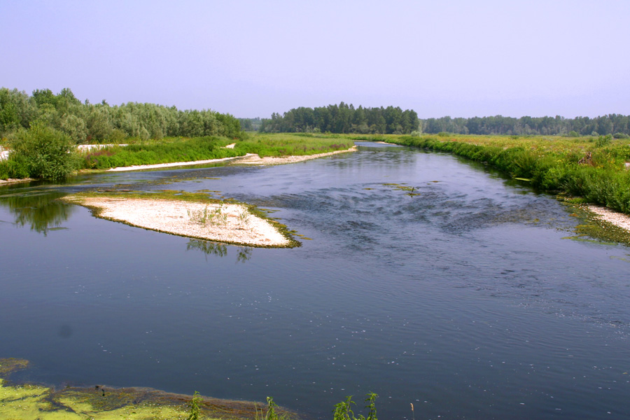
- Greto del Fiume Toce IT1140006
- Val Grande IT1140011
Natura 2000 · birds (SPA) · 2 sites
- Fiume Toce IT1140017
- Val Grande IT1140011
Protected as a national park. International labels and designations: Natura 2000 network (3 sites). Key dates: established in 1991 and first Natura 2000 site under the Birds Directive in 2006.
In our collections
Timeline
-
1991
Established
-
2006
First Natura 2000 site under the Birds Directive 2 such sites designated up to 2006
Sources: Wikidata (CC0) for establishment and international labels; EEA Natura 2000 database (CC-BY 4.0) for site designation dates.
Frequently asked questions
Where is Val Grande National Park?
In Italy (Europe). Representative point: 46.0292° N, 8.4594° E.
How large is Val Grande National Park?
About 17,021 hectares (170 km²). It is the 20th largest of the 26 national parks in Italy covered by Parkavela.
When was Val Grande National Park established?
On 6 December 1991.
What habitats and landscapes does Val Grande National Park include?
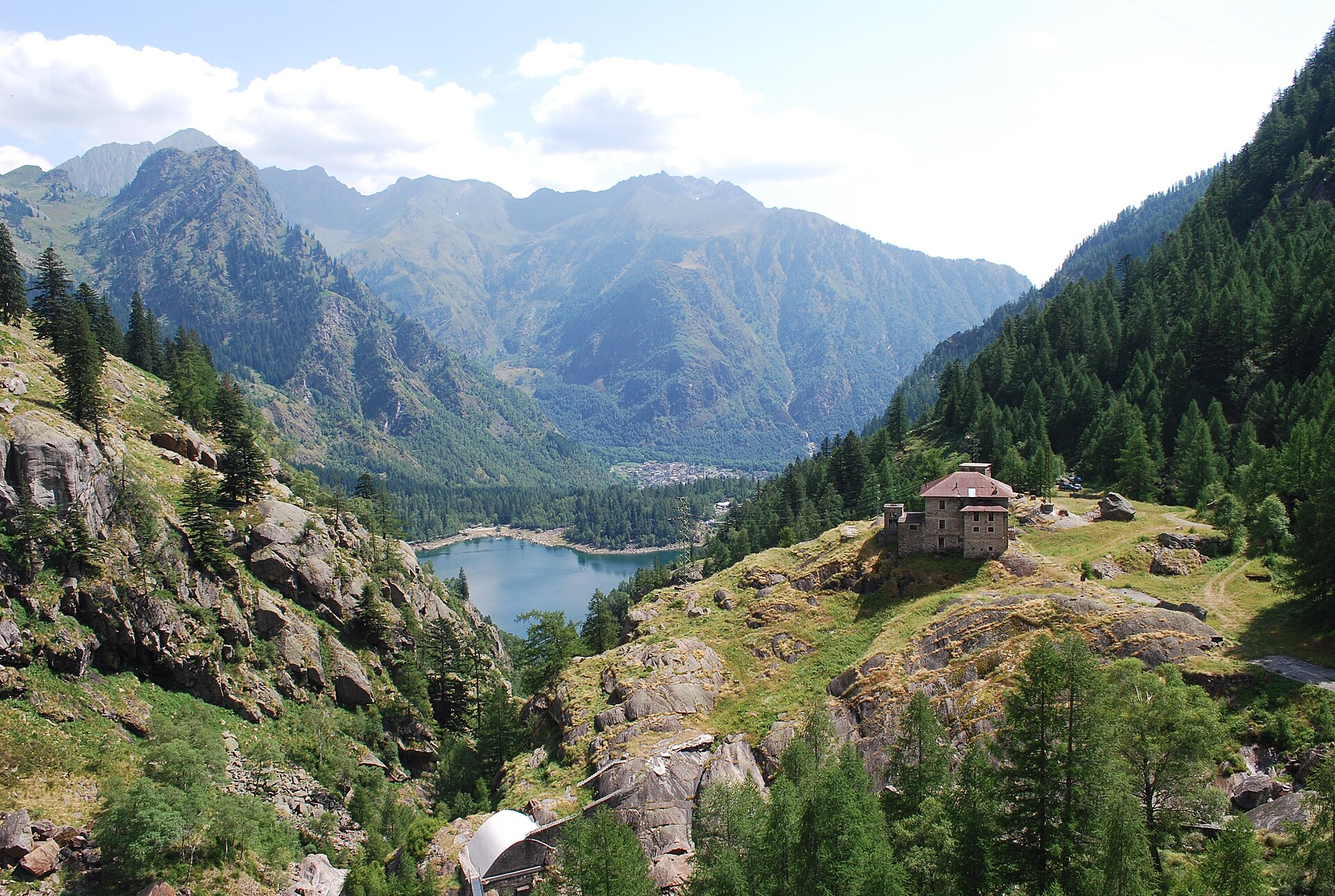
A terrestrial area, with forests and mountains.
What rocks lie beneath Val Grande National Park?
According to the European 1:1 million geological map (EGDI), the bedrock consists mainly of mica schists (44% of sampled points) and metamorphic rocks (44%). These are mostly metamorphic rocks. The geological units date mainly from the Carboniferous (50% of sampled points).
What is the highest point of Val Grande National Park?
Monte Togano, at 2,301 m (OpenStreetMap).
What are the main summits of Val Grande National Park?
Monte Togano (2,301 m), Sasso Bianco (2,220 m), Testa di Menta (2,202 m), Cima della Laurasca (2,193 m) and Cimone di Cortechiuso (2,183 m) (OpenStreetMap).
Which international labels apply to Val Grande National Park?
Natura 2000 network (3 sites).
When is the best time to visit Val Grande National Park?
Best time to visit: from June to August, with average temperatures of 11 to 14 °C and moderate rainfall.
Is there snow in Val Grande National Park?
Yes. According to NASA's MODIS satellites (2015–2025 average), snow covers the site about 45 days a year, mostly from December to March.
What is there to see in Val Grande National Park?
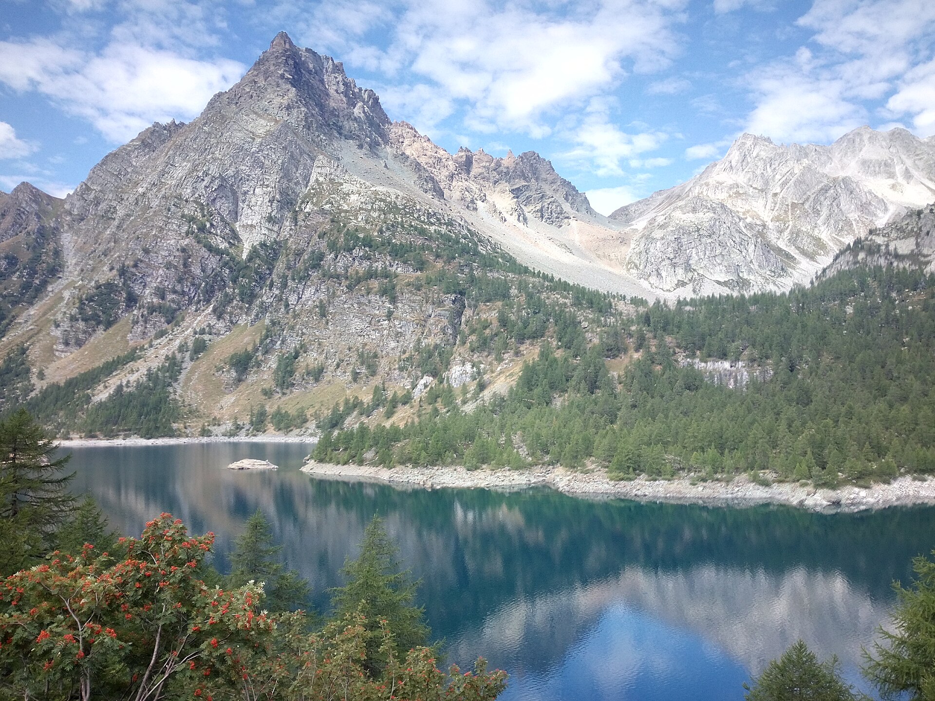
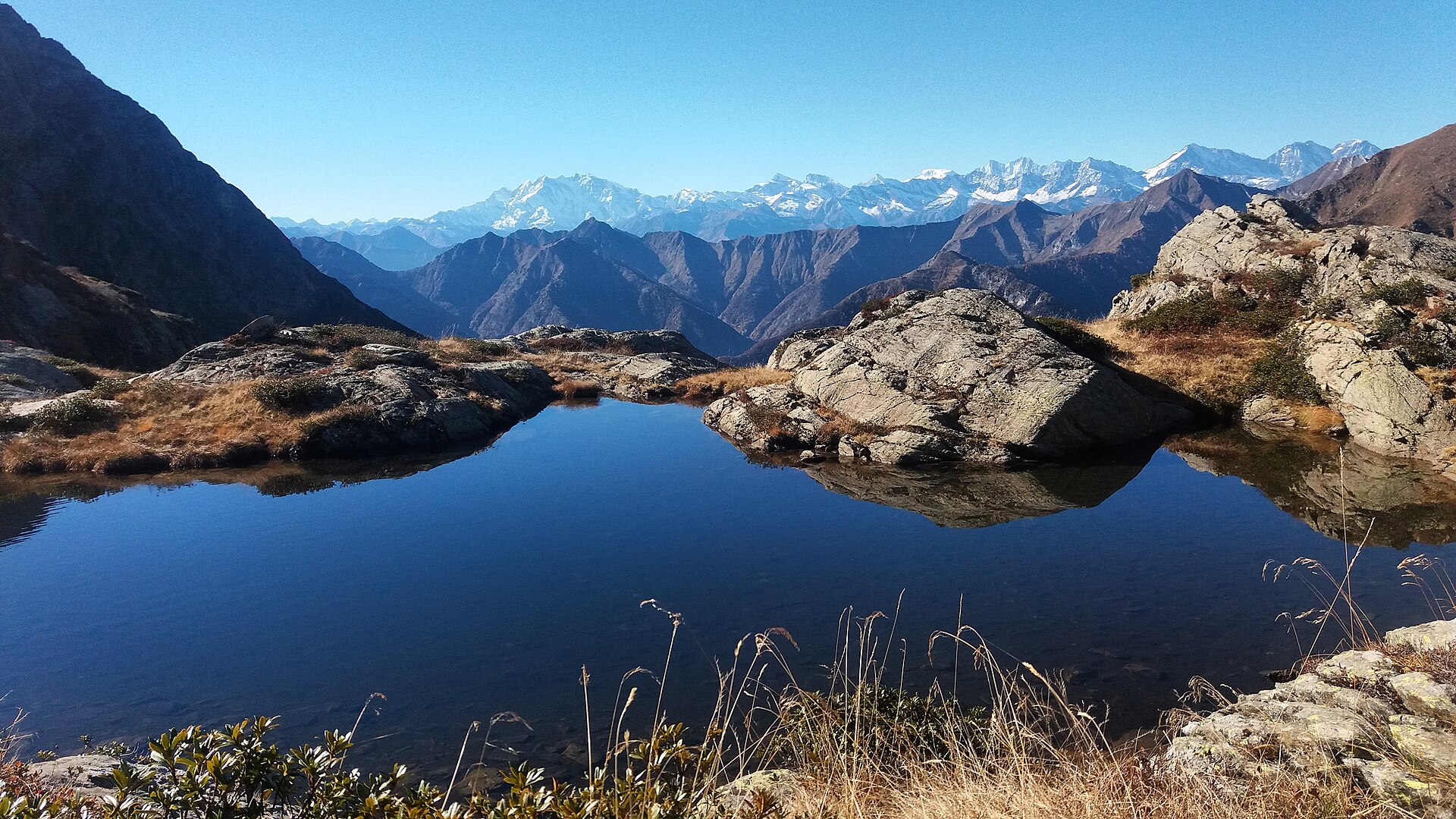
25 viewpoints, 14 waterfalls, 3 lakes and ponds, 1 natural arch and 2 caves, including I Cunscitt, Cascata di Pogallo, Laghetti del Proman and Partus (OpenStreetMap).
Where can I stay in Val Grande National Park?
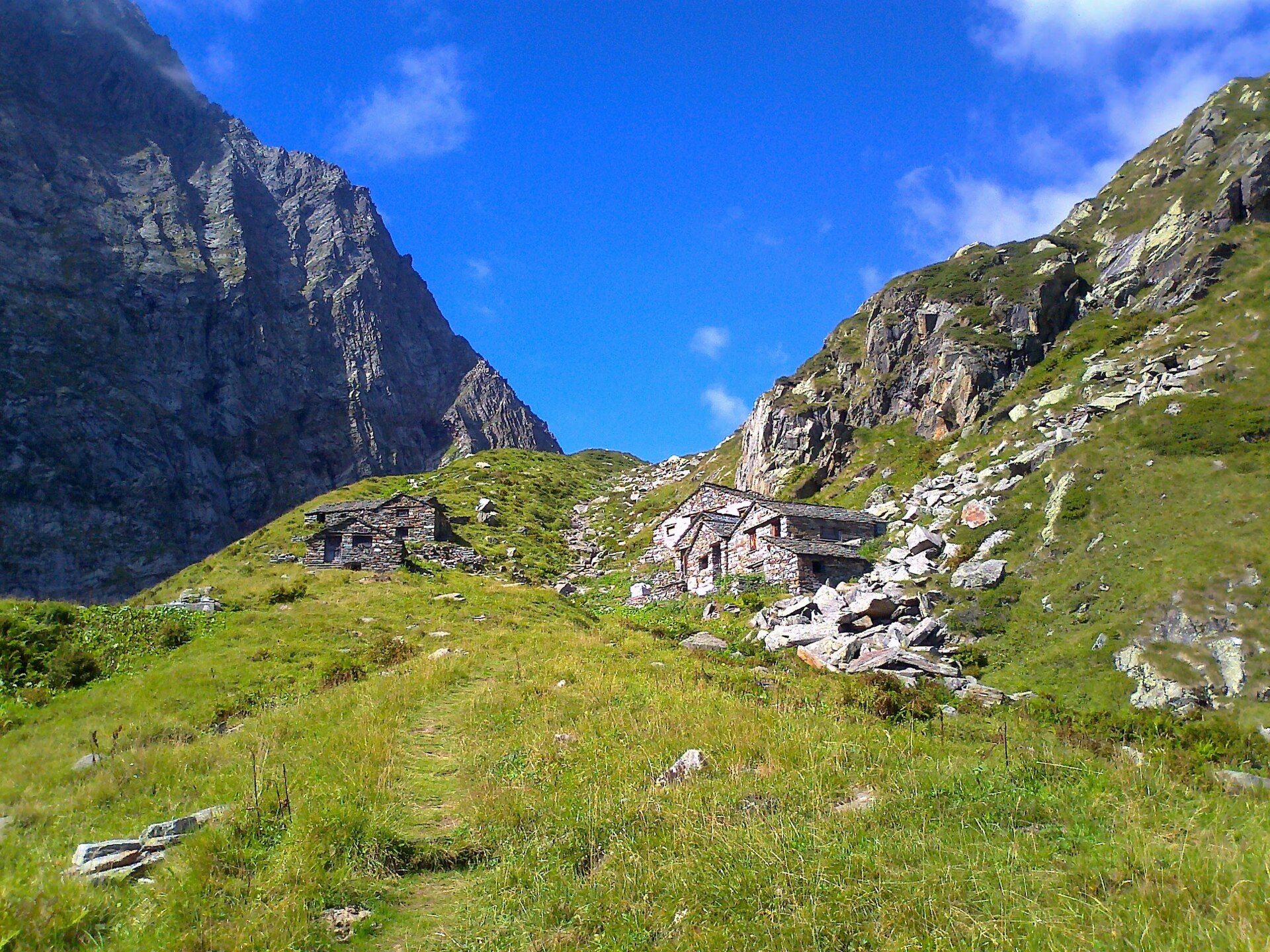
19 mountain huts, including Bivacco Bocchetta di Campo (1,994 m), Bivacco Alpe Ragozzale (1,912 m) and Bivacco Alpe Straolgio (1,803 m) (OpenStreetMap).
Are there historic monuments in Val Grande National Park?
Yes. According to Wikidata, 2 monuments protected as Italian national cultural heritage stand within the boundary. For example: “Castello Visconteo” in Vogogna and “Rocca di Vogogna” in Vogogna.
Can you swim in Val Grande National Park?
6 monitored bathing sites lie in or within 1 km of the site; official 2025 classification: 3 excellent and 3 good (European Environment Agency). Swimming is only permitted at the sites and times authorised locally.
What is the nearest large city to Val Grande National Park?
Nearest towns of over 50,000 people, as the crow flies: Varese (26 km) and Lugano (26 km). Nearest airport: Milan–Malpensa "Silvio Berlusconi" (MXP), about 37 km away.
How can I reach Val Grande National Park by train?
The nearest railway station is Re, about 2 km from the site boundary.
Where can I get visitor information on site?
Parco Nazionale Valgrande, Parco Nazionale Val Grande and Ufficio Accoglienza Turistica.
Are there waymarked hiking trails in Val Grande National Park?
Yes. Waymarked hiking routes listed in OpenStreetMap: 132, including Cammino del Lago Maggiore. The “P00 - Madonna di Campagna - Santino - Rovegro- Cossogno- Cicogna - Pogallo” route runs for about 11 km through the site, with some 600 m of ascent on its longest section.
Which species can be seen in Val Grande National Park?
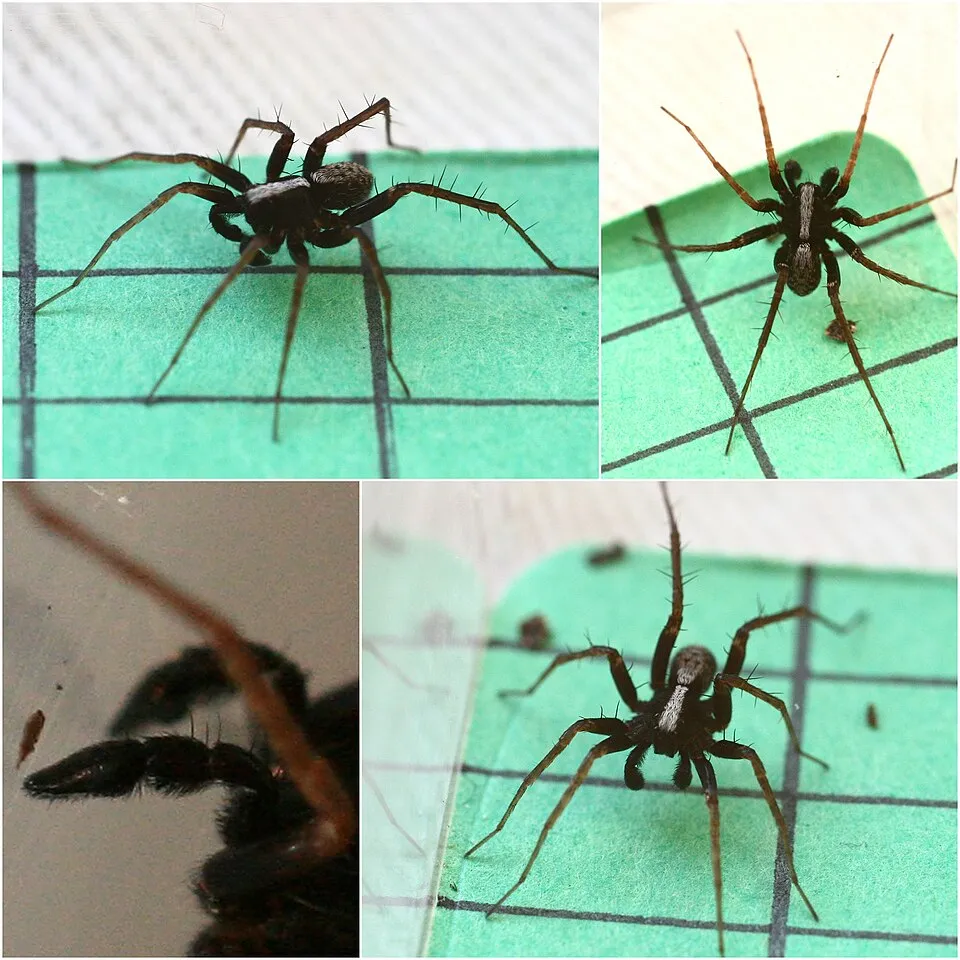
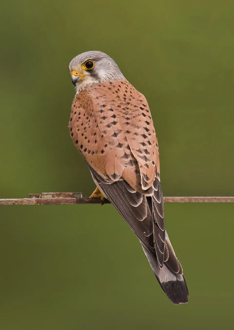
Among the species most often recorded on GBIF are Pardosa saltans, Pardosa riparia, Pardosa blanda and Falco tinnunculus (Common Kestrel).
What is the official website of Val Grande National Park?
© OpenStreetMap
Download the boundary: GeoJSON · GPX Boundary © OpenStreetMap contributors (ODbL).
Geography
The representative point of the site lies at around 1,450 m above sea level. Over the 1996–2025 period, the mean annual temperature is about 4.1 °C and total precipitation reaches roughly 2,344 mm per year. The warmest month is usually July, the coolest January, and the wettest August. According to the European 1:1 million geological map (EGDI), the bedrock consists mainly of mica schists (44% of sampled points) and metamorphic rocks (44%). These are mostly metamorphic rocks. The geological units date mainly from the Carboniferous (50% of sampled points).
Area
- Area
- 17,021 ha
- Elevation
- 1,450 m
- Median elevation
- 1,245 m
- Mean slope
- 31°
- Snow cover
- ≈ 45 days a year
- Coordinates
- 46.0292, 8.4594
Terrain: Mapzen Terrain Tiles (SRTM, USGS)
Elevation bands
- below 500 m 9%
- 500–1,000 m 23%
- 1,000–1,500 m 39%
- 1,500–2,000 m 27%
- 2,000–2,500 m 2%
share of the site in each elevation band (smoothed terrain model: summits are rounded off) · Terrain: Mapzen Terrain Tiles (SRTM, USGS)
Bedrock
- Mica schists 44 %
- Metamorphic rocks 44 %
- Unconsolidated deposits 6 %
- Gneiss 6 %
Metamorphic rocks 94 % · Sedimentary rocks 6 % · Main age: Carboniferous (50%)
Source: EGDI 1:1M geological map (EuroGeoSurveys and national geological surveys), CC BY 4.0 · 16 sampled points within the site.
Main summits
- Monte Togano2,301 m
- Sasso Bianco2,220 m
- Testa di Menta2,202 m
- Cima della Laurasca2,193 m
- Cimone di Cortechiuso2,183 m
- Cima di Binà2,181 m
- Pizzo dei Diosi2,163 m
- Monte Zeda2,156 m
- Cima Marsicce2,135 m
- Cima Pedum2,111 m
Data © OpenStreetMap contributors (ODbL)
Climate
● Mean temperature (°C) · ▮ Precipitation (mm)
Source: Copernicus ERA5-Land (C3S, doi:10.24381/cds.68d2bb30), monthly averages 1996–2025 interpolated to the representative point, temperatures adjusted for elevation.
Contains modified Copernicus Climate Change Service information 2026. Neither the European Commission nor ECMWF is responsible for any use that may be made of the Copernicus information or data it contains.
Snow cover measured by satellite
J
F
M
A
M
J
J
A
S
O
N
D
average share of the site under snow · snowiest parts · ≈ 45 days a year
Snow cover: MODIS/Terra MOD10CM v61 (Hall & Riggs, 2021, NASA NSIDC DAAC, doi:10.5067/MODIS/MOD10CM.061), imagery from NASA GIBS (ESDIS); 2015–2025 average, grid of about 5 km.
Natural habitats
According to CORINE Land Cover (2018), the site is mainly made up of forests (57%), heath and scrub (24%) and grassland and meadows (8%). Woodland is mostly broadleaved. Elevation ranges from about 210 m to 2,301 m (highest point: Monte Togano). Median elevation is 1,245 m, and 29% of the site lies above 1,500 m (SRTM elevation model). The terrain is steep: 60% of slopes exceed 30° (mean slope 31°). The 3 Natura 2000 sites overlapping the area list 25 habitats of European interest (4 priority), the most extensive being Luzulo-Fagetum beech forests, hydrophilous tall herb fringe communities of plains and of the montane to alpine levels and siliceous rocky slopes with chasmophytic vegetation.
Biodiversity
Based on occurrences aggregated by GBIF, several species are regularly recorded within the site. Among the most frequent are Pardosa saltans, Pardosa riparia, Pardosa blanda and Falco tinnunculus (Common Kestrel). The full list of documented taxa is shown below. The overlapping Natura 2000 sites list 104 species of European interest: 52 birds, 20 mammals, 5 reptiles, 4 amphibians, 7 fish, 8 invertebrates and 8 plants.
Habitats of European interest
From the official forms of the 3 Natura 2000 sites overlapping the area (areas reported for each whole site).
- Luzulo-Fagetum beech forests 3,461 ha
- Hydrophilous tall herb fringe communities of plains and of the montane to alpine levels 1,692 ha
- Siliceous rocky slopes with chasmophytic vegetation 1,432 ha
- European dry heaths 1,408 ha
- Castanea sativa woods 1,407 ha
- Siliceous alpine and boreal grasslands 657 ha
- Alpine and Boreal heaths 433 ha
- Lowland hay meadows (Alopecurus pratensis, Sanguisorba officinalis) 278 ha
and 17 more
Species of European interest
Birds · 52
Eurasian Goshawk (Accipiter gentilis) breeding, Common Sandpiper (Actitis hypoleucos) passage, Boreal Owl (Aegolius funereus) resident, Common Kingfisher (Alcedo atthis) breeding resident, Rock Partridge (Alectoris graeca saxatilis) resident breeding, Tawny Pipit (Anthus campestris) passage breeding, Golden Eagle (Aquila chrysaetos) resident breeding, Purple Heron (Ardea purpurea) passage, Short-eared Owl (Asio flammeus) passage, Hazel Grouse (Bonasa bonasia) resident breeding, Eurasian Eagle-owl (Bubo bubo) resident breeding, Eurasian Stone-curlew (Burhinus oedicnemus) passage and 40 more
Mammals · 20
Barbastelle (Barbastella barbastellus), Grey wolf (Canis lupus), Serotine bat (Eptesicus serotinus), Savi's Pipistrelle (Hypsugo savii), European pine marten (Martes martes), Hazel dormouse (Muscardinus avellanarius), Brandt's Bat (Myotis brandtii), Daubenton's bat (Myotis daubentonii), Greater mouse-eared bat (Myotis myotis), Natterer's bat (Myotis nattereri), Lesser noctule (Nyctalus leisleri), Kuhl's pipistrelle (Pipistrellus kuhlii) and 8 more
Reptiles · 5
Smooth snake (Coronella austriaca), Western Whip Snake (Hierophis viridiflavus), Western green lizard (Lacerta bilineata), Common wall lizard (Podarcis muralis), Aesculapian Snake (Zamenis longissimus)
Amphibians · 4
Green Toad (Bufotes viridis complex), Italian Tree Frog (Hyla intermedia), Edible frog (Pelophylax esculentus), Common frog (Rana temporaria)
Fish · 7
Brook barbel (Barbus caninus), Italian Spined Loach (Cobitis bilineata), European bullhead (Cottus gobio), Lombardy lamprey (Lethenteron zanandreai), Marble Trout (Salmo marmoratus), Italian Riffle Dace (Telestes muticellus), Grayling (Thymallus thymallus)
Invertebrates · 8
White-clawed Crayfish (Austropotamobius pallipes), Marsh fritillary (Euphydryas aurinia), Jersey Tiger (Euplagia quadripunctaria), Stag beetle (Lucanus cervus), Hermit beetle (Osmoderma eremita), Apollo (Parnassius apollo), Clouded apollo (Parnassius mnemosyne), Rosalia longicorn (Rosalia alpina)
Plants · 8
Aquilegia alpina, Mountain arnica (Arnica montana), Ladder spleenwort (Asplenium adulterinum), Great Yellow Gentian (Gentiana lutea), Interrupted clubmoss (Lycopodium annotinum), Stag's-horn Clubmoss (Lycopodium clavatum), Butcher's-broom (Ruscus aculeatus), Summer lady's-tresses (Spiranthes aestivalis)
Source: Natura 2000 standard data forms (EEA, CC-BY 4.0). Not exhaustive: sensitive species are not published.
Species to look out for


Observed species
Occurrences documented via GBIF; they are neither an exhaustive inventory nor proof of current presence.
- Pardosa saltans · 91
- Pardosa riparia · 87
- Pardosa blanda · 73
- Common Kestrel · Falco tinnunculus · 50
- Eurasian Chaffinch · Fringilla coelebs · 44
- Cybaeus intermedius · 41
- Histopona leonardoi · 41
- European Stonechat · Saxicola rubicola · 38
- Tegenaria silvestris · 38
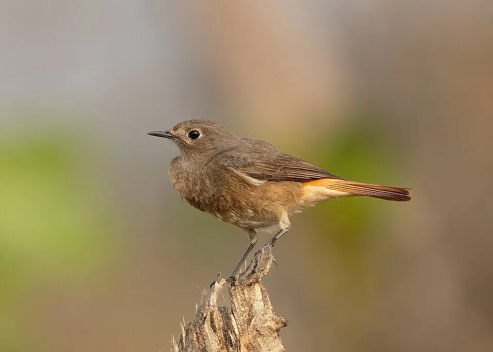
- Black Redstart · Phoenicurus ochruros · 38
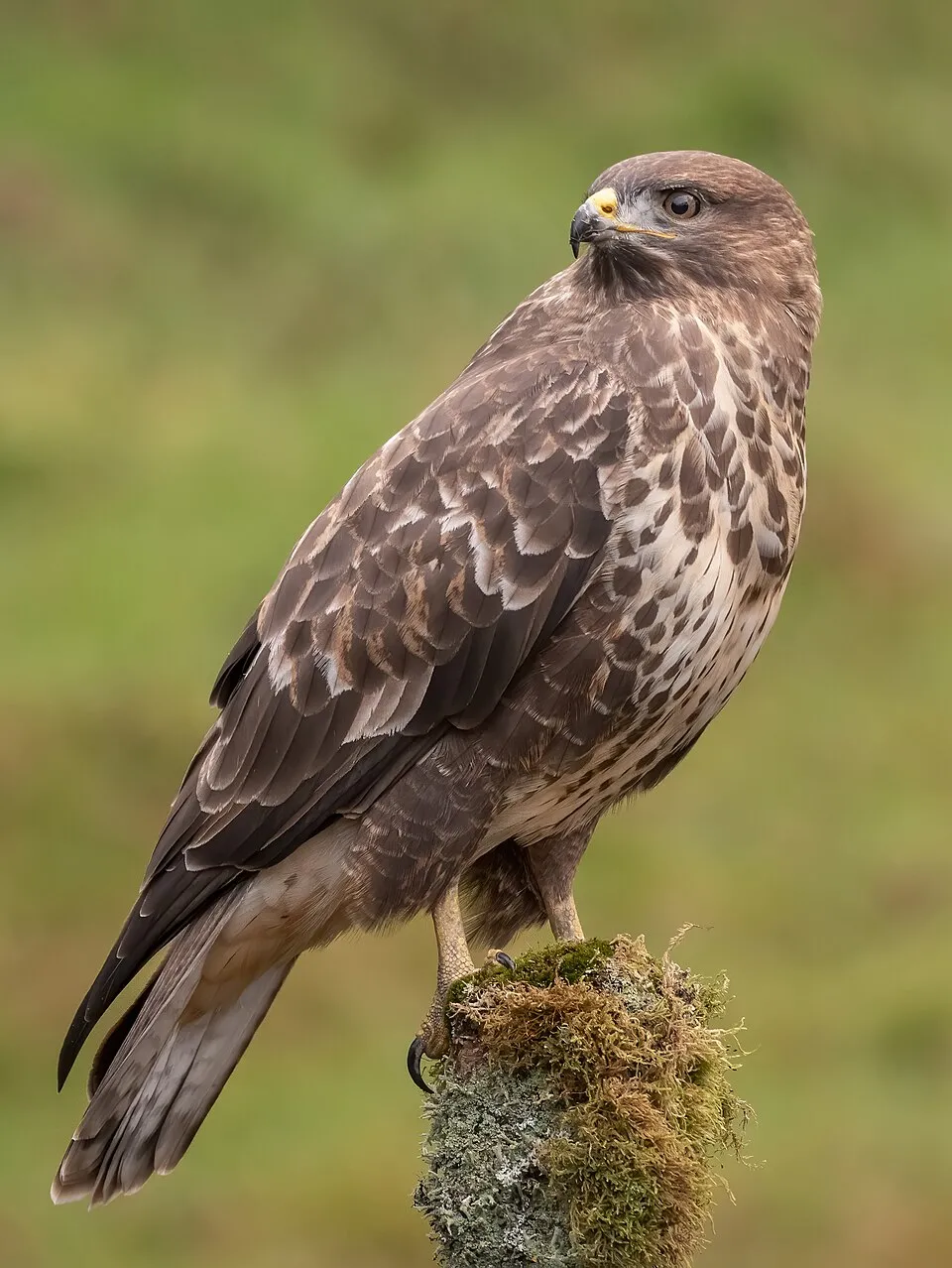
- Common Buzzard · Buteo buteo · 37
- European robin · Erithacus rubecula · 37
+18 more species
- Great tit · Parus major · 37
- Common Chiffchaff · Phylloscopus collybita · 36
- White Wagtail · Motacilla alba · 36
- Northern Wheatear · Oenanthe oenanthe · 35
- Short-toed Treecreeper · Certhia brachydactyla · 35
- European Serin · Serinus serinus · 33
- Mallard · Anas platyrhynchos · 33
- Agroeca proxima · 32
- Alopecosa taeniata · 32
- Eurasian Jay · Garrulus glandarius · 32
- Common Redstart · Phoenicurus phoenicurus · 32
- Stone Ground-spider · Drassodes lapidosus · 29
- Italian Sparrow · Passer italiae · 29
- Barn Swallow · Hirundo rustica · 29
- Common House Martin · Delichon urbicum · 28
- Eurasian blue tit · Cyanistes caeruleus · 27
- Tree Pipit · Anthus trivialis · 26
- Water Pipit · Anthus spinoletta · 26
Records: GBIF.org (CC-BY). Names: Wikidata (CC0), GBIF. Photos: Wikimedia Commons.
Conservation challenges
The primary purpose of the site is to preserve its natural habitats and the biodiversity they support. The species recorded (Biodiversity tab) reflect its ecological value. The designations it holds frame its management and the control of land use.
According to Global Forest Change data (University of Maryland, Global Forest Watch), about 35 ha of tree cover were lost within the boundary between 2001 and 2023 (under 1% of its area), peaking in 2004 and 2011. These losses include logging, storms and fires, and do not account for regrowth. According to CORINE Land Cover, land cover here remained almost unchanged between 1990 and 2018 (less than 0.5% of the area affected). Since 2016, the European EFFIS system (Copernicus) has mapped 4 fires here, burning about 243 ha within the boundary; the largest, in July 2026 (near Premosello-Chiovenda), covered 198 ha. At night, 9% of the area gives off artificial light detectable from space (NASA VIIRS Black Marble composite, 2016). Built-up and developed land (buildings, business areas, roads, quarries) covers 1% of the area (CORINE Land Cover). According to the Natura 2000 forms, all 24 assessed habitats of European interest are in good condition. According to the Water Framework Directive assessment (2022 river basin management plans, data 2014–2019), 100% of the 66 km of rivers assessed within the site are in good or high ecological status. Since 2000, 6 invasive alien species have been recorded within the site (GBIF observations). Among them: Cygnus olor (Mute Swan), Buddleja davidii (Butterfly-bush) and Phytolacca americana (American pokeweed).
Pressure indicators
Tree cover lost
35 ha
2001–2023 · < 1% of the area
20012023
Fires since 2016
243 ha
burned within the boundary (4 mapped fires)
- 2026 · Premosello-Chiovenda · 198 ha
- 2026 · Trontano · 20 ha
- 2026 · Premosello-Chiovenda · 16 ha
Light at night
9%
of the area gives off artificial light visible from space
DarkLit
Built-up land
1%
buildings, business areas, roads, quarries
Land cover change
< 0.5%
of the area changed, 1990–2018 · CORINE
Rivers and lakes
100%
of the 66 km of assessed rivers in good or high ecological status · WFD 2022
assessments 2014–2019
Invasive alien species
6
recorded since 2000
 Mute Swan
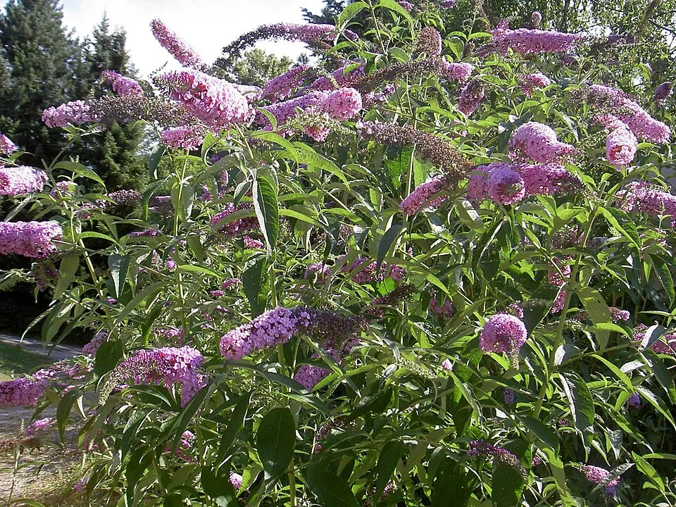 Butterfly-bush
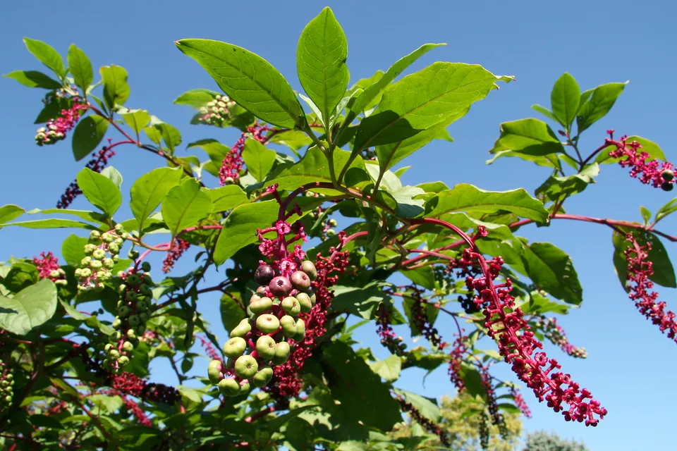 American pokeweed
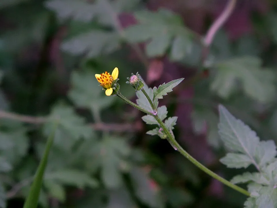 Spanish needles
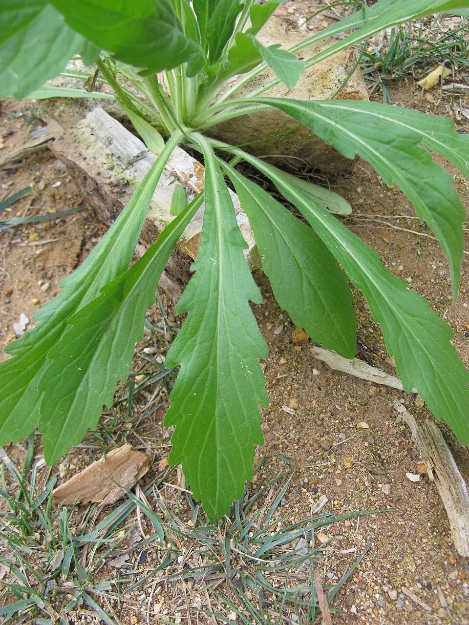 Guernsey fleabane
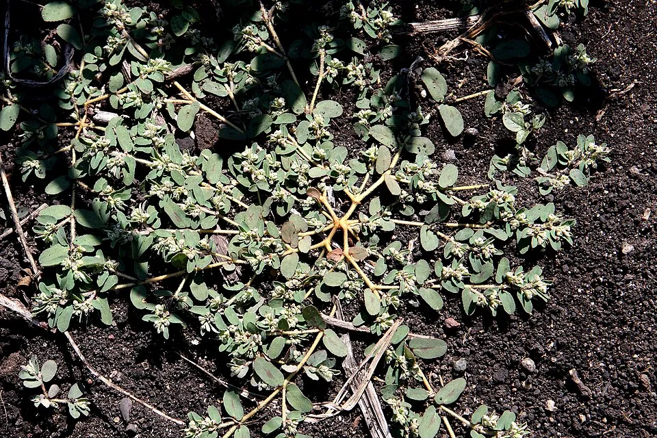 Spotted spurge
Photos: Mute Swan © Geni · CC BY-SA 4.0; Butterfly-bush © --IKAl 15:22, 23 July 2007 (UTC) · CC BY-SA 2.5; American pokeweed © Huw Williams (Huwmanbeing) · Public domain; Spanish needles © Dalgial · CC BY 3.0; Guernsey fleabane © Harry Rose from South West Rocks, Australia · CC BY 2.0; Spotted spurge © Hardyplants · Public domain
Sources: Global Forest Change (Hansen et al., University of Maryland, via Global Forest Watch, CC-BY 4.0); EFFIS, European Commission / Copernicus; NASA Black Marble 2016 (public domain); CORINE Land Cover 2018 (Copernicus) or MODIS.
CORINE Land Cover Change 1990–2018: generated using European Union's Copernicus Land Monitoring Service information (EEA), aggregated by Parkavela; DOI 10.2909/f30f1000-7cf8-43bb-872c-5eb093911b24.
Ecological status of water bodies: European Environment Agency, WISE – Water Framework Directive, 3rd river basin management plans (2022), CC BY 4.0. Official national classification, not comparable between countries.
Invasive alien species: Global Register of Introduced and Invasive Species (ISSG, CC BY 4.0); Union list, Regulation (EU) 1143/2014 (INBO, CC0); GBIF.org records (CC0 / CC BY 4.0), at least 2 per species.
Practical information
Cities and airport
- Varese
26 km as the crow flies - Lugano
26 km as the crow flies - Airport: Milan–Malpensa "Silvio Berlusconi" (MXP)
37 km as the crow flies
Visitor information
- Parco Nazionale Valgrande
within the site - Parco Nazionale Val Grande
< 1 km from the site boundary - Ufficio Accoglienza Turistica
2 km from the site boundary - Ufficio Turistico Informazioni Accoglienza Turistica
2 km from the site boundary
Parking
28 public car parks listed within the site
Things to see
25 viewpoints · 14 waterfalls · 3 lakes and ponds · 1 natural arch · 2 caves
- I Cunscitt
viewpoint - Cascata di Pogallo
waterfall - Laghetti del Proman
lake or pond - Partus
natural arch - Ca d'la Cush
cave
Where to stay
19 mountain huts
- Bivacco Bocchetta di Campo
Unstaffed hut · 1,994 m · 20 beds - Bivacco Alpe Ragozzale
Unstaffed hut · 1,912 m - Bivacco Alpe Straolgio
Unstaffed hut · 1,803 m · 3 beds - Bivacco Colma di Premosello
Unstaffed hut · 1,728 m - Bivacco Alpe Mottac
Unstaffed hut · 1,690 m · 8 beds
Hiking
132 waymarked routes listed, including:
Cammino del Lago Maggiore
Trail difficulty
- T1 · easy hiking · 10% · 52 km
- T2 · mountain hiking · 45% · 206 km
- T3–T6 · demanding or alpine hiking · 40% · 176 km
433 km graded out of 520 km of paths
SAC scale (T1–T6) © OpenStreetMap contributors (ODbL): indicative only, check with the park.
By bike
BI-15 Ciclovia Svizzera mare · 3 km
Signed cycle routes: this does not mean that cycling is allowed on footpaths.
Data © OpenStreetMap contributors (ODbL) · Wikidata (CC0)
Routes © OpenStreetMap contributors (ODbL), via Waymarked Trails
Waymarked hiking routes
CLM Cammino del Lago Maggiore
2.1 km within the site ↗ 144 m↘ 59 m 292–443 m
up to T1 · hiking
GTLM Grand Tour del Lago Maggiore ® - Tappa 1 - Verbania Intra - Stresa
2.2 km within the site ↗ 60 m↘ 146 m 292–443 m
up to T1 · hiking
R10 R10 Sacro Monte S.S.Trinità di Ghiffa - Pollino - Piancavallo - Colle - Passo Folungo
3 km within the site ↗ 43 m↘ 74 m 1,243–1,306 m
P00 P00 - Madonna di Campagna - Santino - Rovegro- Cossogno- Cicogna - Pogallo
10.9 km within the site ↗ 597 m↘ 218 m 396–789 m
up to T2 · mountain hiking
A002 A00 - Strada Romana (seconda sezione)
2.2 km within the site ↗ 39 m↘ 18 m 201–234 m
R00 R00 Verbania Intra P.le Flaim - Trobaso - Cambiasca - Caprezzo - Intragna - Aurano
1 km within the site ↗ 73 m↘ 14 m 468–553 m
Tracks © OpenStreetMap contributors (ODbL), clipped to the boundary; elevation gain and profiles computed on the longest section from Mapzen Terrain Tiles (≈ 30 m), indicative only. Indicative difficulty (SAC scale, OpenStreetMap, via Waymarked Trails): check with the park.
Bathing
6 monitored bathing sites in or within 1 km of the site · 2025 classification
Excellent · 3
Good · 3
- Buon Rimedio · lake · Excellent
- Camp.isolino · lake · Excellent
- Isolino Vecchio - Fondotoce · lake · Excellent
- Bel Sito - Suna · lake · Good
- Localita` Tre Ponti · lake · Good
- Santino · river · Good
Source: European Environment Agency, official bathing water classification (Directive 2006/7/EC, CC-BY 4.0). Swimming is only permitted at the sites and times authorised locally.
Access and visiting
The nearest railway station is Re, about 2 km from the site boundary. Nearest towns of over 50,000 people, as the crow flies: Varese (26 km) and Lugano (26 km). Nearest airport: Milan–Malpensa "Silvio Berlusconi" (MXP), about 37 km away. About 360,000 people live within 20 km of the site boundary, 160,000 of them within 10 km; some 4,000 people are estimated to live inside (GHSL estimate, 2020). Visitor information on site: Parco Nazionale Valgrande, Parco Nazionale Val Grande and Ufficio Accoglienza Turistica. Public car parks listed within the site: 28. Waymarked hiking routes listed in OpenStreetMap: 132, including Cammino del Lago Maggiore. Of the roughly 430 km of paths with a difficulty grade in OpenStreetMap, 10% are easy hiking (T1), 45% mountain hiking (T2) and 40% demanding or alpine hiking (T3–T6). This is indicative only: check with the park. A signed cycle route crosses the site: “BI-15 Ciclovia Svizzera mare” (OpenStreetMap). To see: 25 viewpoints, 14 waterfalls, 3 lakes and ponds, 1 natural arch and 2 caves, including I Cunscitt, Cascata di Pogallo, Laghetti del Proman and Partus. Where to stay: 19 mountain huts, including Bivacco Bocchetta di Campo (1,994 m), Bivacco Alpe Ragozzale (1,912 m) and Bivacco Alpe Straolgio (1,803 m). To plan a visit (access, opening periods, visitor rules), it is best to consult the official information from the managing body and the official website listed in this page's sources.
Source: OpenStreetMap (ODbL), Wikidata (CC0), October 2026.
Built heritage
According to Wikidata, 2 monuments protected as Italian national cultural heritage stand within the boundary. Examples include “Castello Visconteo” in Vogogna and “Rocca di Vogogna” in Vogogna.
-
Castello Visconteo
Vogogna -
Rocca di Vogogna
Vogogna
Source: Wikidata (CC0), monuments in each country’s official heritage protection registers, at national or regional level. Each item links to its Wikidata entry.
When to visit
Best time to visit: from June to August, with average temperatures of 11 to 14 °C and moderate rainfall. Average temperatures drop below 0 °C from November to March: frost is common. These averages apply to the site's representative point (1,450 m); higher up it is markedly cooler and snow lasts longer. According to NASA's MODIS satellites (2015–2025 average), snow covers the site about 45 days a year, mostly from December to March. Day length ranges from about 8 h 39 min in December to 15 h 44 min in June. Wildlife records published on GBIF peak for birds (January), plants (August), butterflies and moths (July and August), dragonflies (August) and mammals (from July to September). These peaks also reflect when observers are most active.
Source: Copernicus ERA5-Land (C3S), monthly averages 1996–2025 at the representative point, temperatures adjusted for elevation.
Contains modified Copernicus Climate Change Service information 2026. Neither the European Commission nor ECMWF is responsible for any use that may be made of the Copernicus information or data it contains.
Wildlife records calendar
JFMAMJJASOND
Birds
Plants
Butterflies & moths
Dragonflies
Mammals
Monthly records published on GBIF (CC-BY), relative to the busiest month; also reflects observer activity.
Gallery
© Mara Piraglia · CC BY-SA 4.0
© Carlo Galli · CC BY-SA 4.0
© Esponenziale · CC BY-SA 4.0
© LIUCChia.05 · CC BY-SA 4.0
© Lichinga · CC BY-SA 4.0
© Lichinga · CC BY-SA 4.0
Sources and licences
- Wikidata: Q358729
- OpenStreetMap: relation 13680199
- Official website: http://www.parcovalgrande.it/
- Wikipedia: en.wikipedia.org/wiki/Val_Grande_National_Park
- WDPA: 63645
References
- cds.climate.copernicus.eu: climate · CC-BY-4.0
- registry.opendata.aws: elevation of the reference point, detailed relief · PD
- land.copernicus.eu: land cover, land cover change, sea share · COPERNICUS
- doi.org: population around the site · CC-BY-4.0
- wikidata.org: official area, establishment date, protected heritage, official name, nearby cities and airport, access and peaks, lake depths, places to see, official website · CC0-1.0
- eea.europa.eu: bathing water quality, ecological status of waters · CC-BY-4.0
- en.eurovelo.com: EuroVelo cycle routes · ODbL-1.0
- cycling.waymarkedtrails.org: cycle routes · ODbL-1.0
- opentopodata.org: elevations · PD
- forest-fire.emergency.copernicus.eu: wildfires · COPERNICUS
- globalforestwatch.org: tree cover loss · CC-BY-4.0
- gbif.org: seasonality of sightings, invasive alien species, observed species · CC-BY-4.0
- europe-geology.eu: geology · CC-BY-4.0
- hydrosheds.org: lakes · CC-BY-4.0
- natura2000.eea.europa.eu: Natura 2000 habitats and species · CC-BY-4.0
- earthobservatory.nasa.gov: night light · PD
- openstreetmap.org: access and peaks, places to see, trail difficulty · ODbL-1.0
- hiking.waymarkedtrails.org: route difficulty · ODbL-1.0
- nsidc.org: snow cover · PD
- wikidata.org: Wikipedia article · CC-BY-SA-4.0
Data © OpenStreetMap contributors (ODbL), Wikidata (CC0) and the sources cited.