Portugal · Terrestrial
Serras de Aire e Candeeiros Natural Park
Nature park of 38,393 hectares in Portugal, established in 1979.
Overview
Nature park of 38,393 hectares in Portugal, established in 1979.
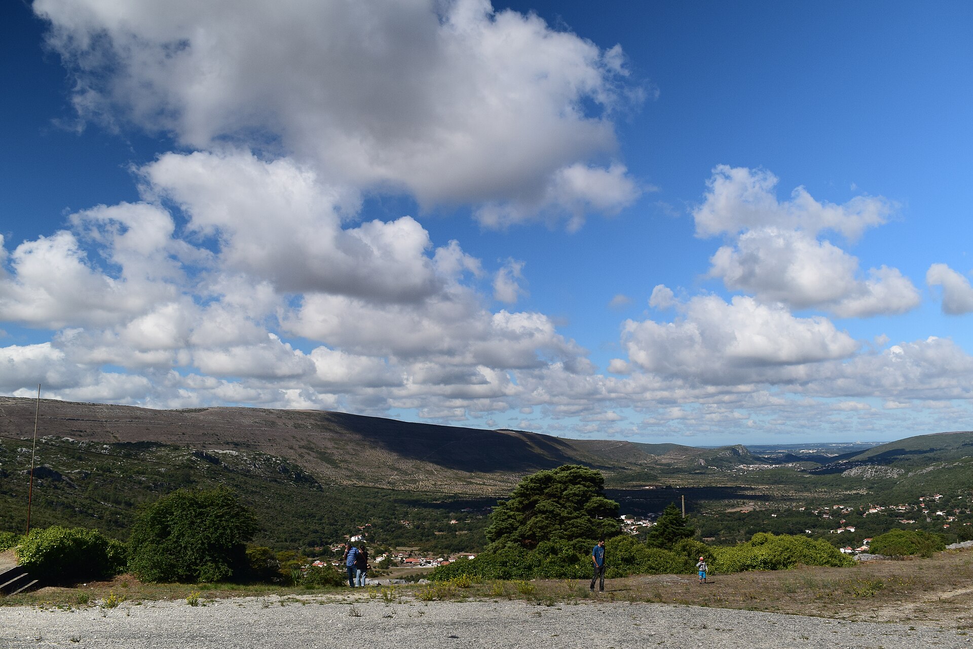
Serras de Aire e Candeeiros Natural Park is a nature park in Portugal (Europe). It is a predominantly terrestrial area. Established in 1979, it covers about 38,393 hectares.
Protections and designations
Natura 2000 · habitats (SAC)
- Serras de Aire e Candeeiros PTCON0015
Protected as a nature park. International labels and designations: Natura 2000 network (1 site: “Serras de Aire e Candeeiros”). Key dates: established in 1979 and first Natura 2000 site under the Habitats Directive in 2008.
In our collections
Timeline
-
1979
Established
-
2008
First Natura 2000 site under the Habitats Directive
Sources: Wikidata (CC0) for establishment and international labels; EEA Natura 2000 database (CC-BY 4.0) for site designation dates.
Frequently asked questions
Where is Serras de Aire e Candeeiros Natural Park?
In Portugal (Europe). Representative point: 39.5049° N, 8.8020° W.
How large is Serras de Aire e Candeeiros Natural Park?
About 38,393 hectares (384 km²). It is the 8th largest of the 15 nature parks in Portugal covered by Parkavela.
When was Serras de Aire e Candeeiros Natural Park established?
In 1979.
What habitats and landscapes does Serras de Aire e Candeeiros Natural Park include?
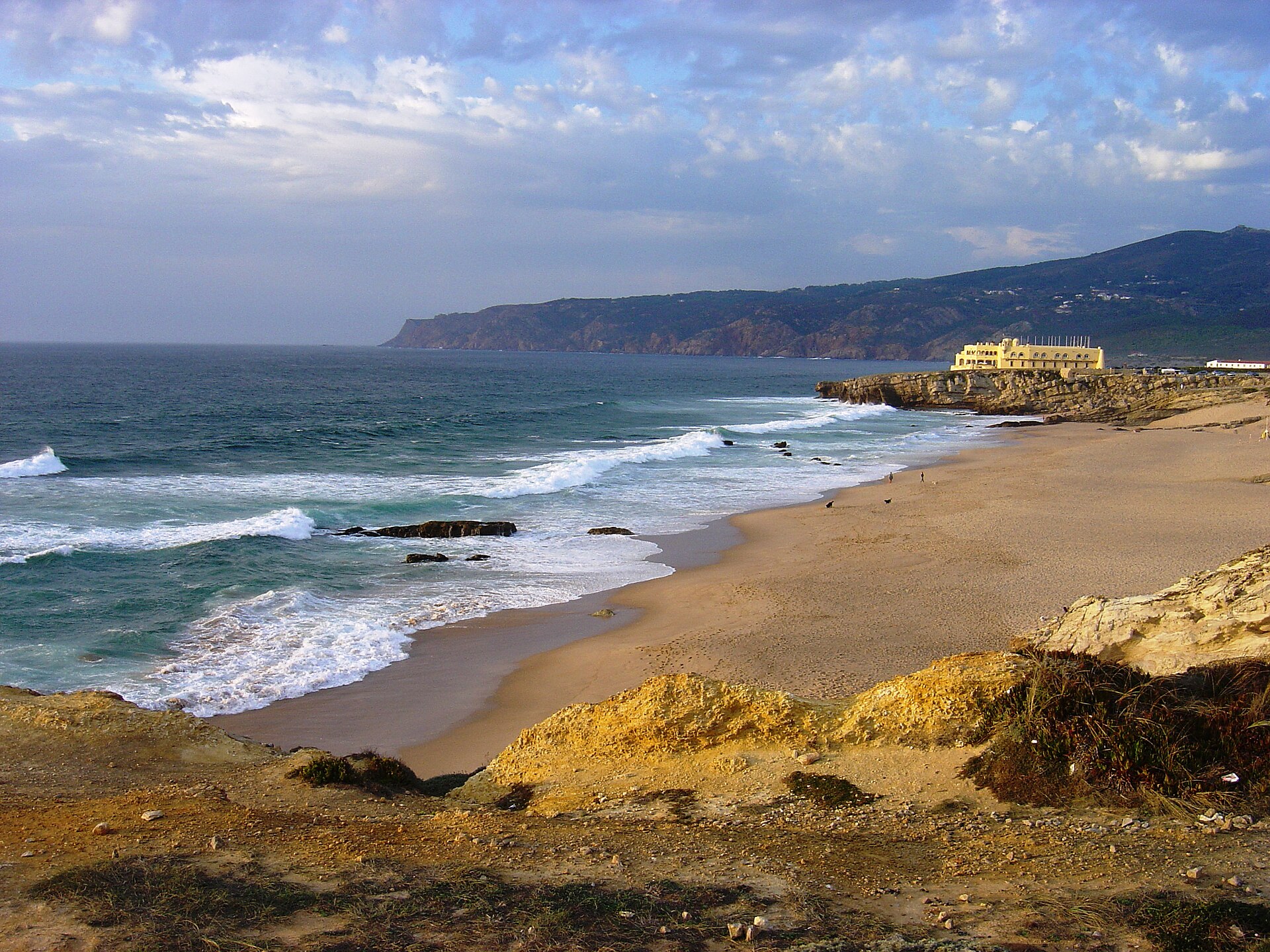
A terrestrial area, where land cover is dominated by Mediterranean scrub (41%).
What rocks lie beneath Serras de Aire e Candeeiros Natural Park?
According to the European 1:1 million geological map (EGDI), the bedrock consists mainly of limestones (85% of sampled points) and sands and gravels (15%). These are mostly sedimentary rocks. The geological units date mainly from the Jurassic (77% of sampled points).
What is the highest point of Serras de Aire e Candeeiros Natural Park?
Aire, at 678 m (OpenStreetMap).
What are the main summits of Serras de Aire e Candeeiros Natural Park?
Aire (678 m), Vale Grande (615 m), Cruto de Cavalarias (614 m), Atalaia (589 m) and Pedra do Altar (584 m) (OpenStreetMap).
Which international labels apply to Serras de Aire e Candeeiros Natural Park?
Natura 2000 network (1 site: “Serras de Aire e Candeeiros”).
When is the best time to visit Serras de Aire e Candeeiros Natural Park?
Best time to visit: from March to September, with average temperatures of 10 to 20 °C and moderate rainfall.
What is there to see in Serras de Aire e Candeeiros Natural Park?
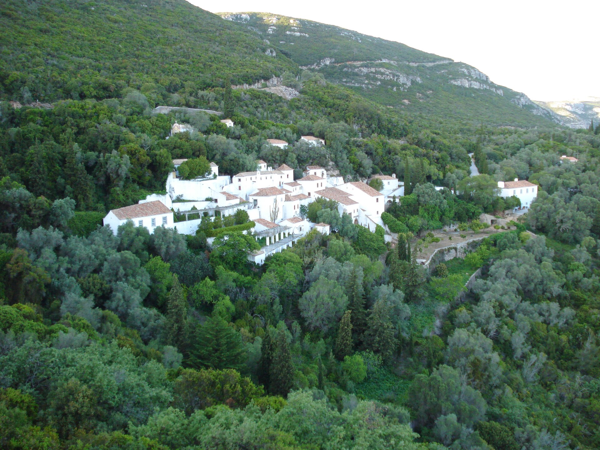
3 caves, including Gruta do Alviela, Grutas de Santo António and Lapa do Picareiro (Wikidata).
Are there historic monuments in Serras de Aire e Candeeiros Natural Park?
Yes. According to Wikidata, 5 monuments classified as Portuguese cultural heritage (national monuments and properties of public interest) stand within the boundary, 1 of them a national monument. For example: “Castelo de Porto de Mós” in Porto de Mós - São João Baptista e São Pedro.
Can you swim in Serras de Aire e Candeeiros Natural Park?
One monitored bathing site lies in or within 1 km of the site (European Environment Agency). Swimming is only permitted at the sites and times authorised locally.
What is the nearest large city to Serras de Aire e Candeeiros Natural Park?
Nearest towns of over 50,000 people, as the crow flies: Pombal (36 km) and Queluz (71 km). Nearest airport: Humberto Delgado (LIS), about 66 km away.
How can I reach Serras de Aire e Candeeiros Natural Park by train?
The nearest railway station is Riachos - Torres Novas - Golegã, about 13 km from the site boundary.
Where can I get visitor information on site?
Posto de Turismo, Centro Cultural de Chãos and Jazida de icnofósseis de Vale de Meios.
Are there waymarked hiking trails in Serras de Aire e Candeeiros Natural Park?
Yes. Waymarked hiking routes listed in OpenStreetMap: 16, including Caminho de Tejo, Caminhos de Fátima (Caminho do Tejo), Caminhos de Fátima (Caminho Poente) and Caminhos de Fátima (Caminho dos Candeeiros). The “Rio Maior/Fátima · Caminhos de Fátima (Caminho dos Candeeiros)” route runs for about 45 km through the site, with some 730 m of ascent on its longest section.
Which species can be seen in Serras de Aire e Candeeiros Natural Park?
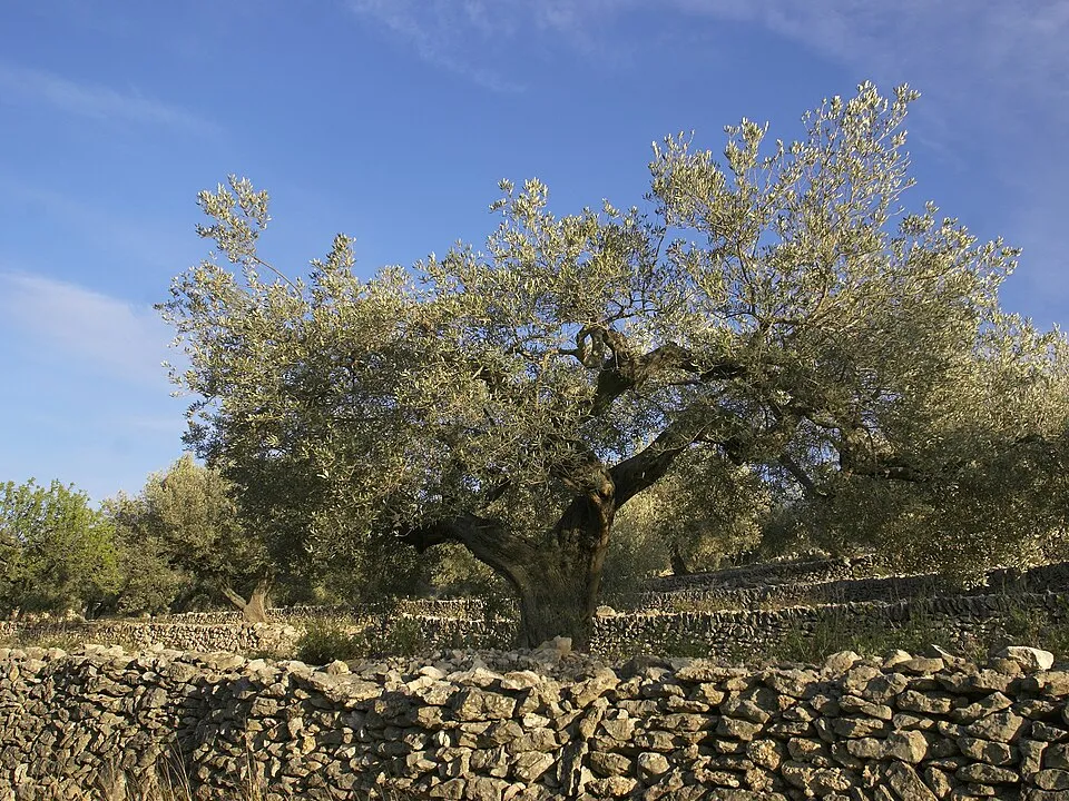
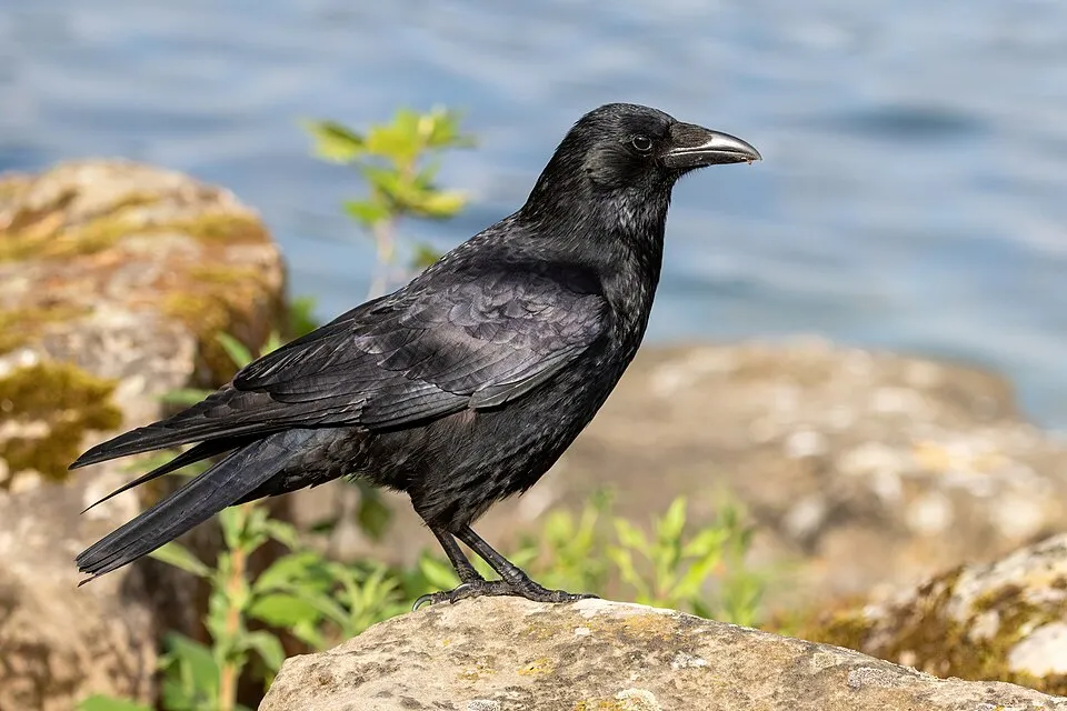
Among the species most often recorded on GBIF are Olea europaea (Olive), Turdus merula (Common Blackbird), Erithacus rubecula (European robin) and Corvus corone (Carrion crow).
© OpenStreetMap
Download the boundary: GeoJSON · GPX Boundary © OpenStreetMap contributors (ODbL).
Geography
The representative point of the site lies at around 518 m above sea level. Over the 1996–2025 period, the mean annual temperature is about 13.4 °C and total precipitation reaches roughly 772 mm per year. The warmest month is usually August, the coolest January, and the wettest November. According to the European 1:1 million geological map (EGDI), the bedrock consists mainly of limestones (85% of sampled points) and sands and gravels (15%). These are mostly sedimentary rocks. The geological units date mainly from the Jurassic (77% of sampled points).
Area
- Area
- 38,393 ha
- Elevation
- 518 m
- Median elevation
- 338 m
- Mean slope
- 8°
- Coordinates
- 39.5049, -8.802
Terrain: Mapzen Terrain Tiles (SRTM, USGS)
Bedrock
- Limestones 85 %
- Sands and gravels 15 %
Sedimentary rocks 100 % · Main age: Jurassic (77%)
Source: EGDI 1:1M geological map (EuroGeoSurveys and national geological surveys), CC BY 4.0 · 13 sampled points within the site.
Main summits
- Aire678 m
- Vale Grande615 m
- Cruto de Cavalarias614 m
- Atalaia589 m
- Pedra do Altar584 m
- Cabeço Gordo579 m
- Junqueira552 m
- Mendiga542 m
- Lua529 m
- Cabeço da Costa526 m
Data © OpenStreetMap contributors (ODbL)
Climate
● Mean temperature (°C) · ▮ Precipitation (mm)
Source: Copernicus ERA5-Land (C3S, doi:10.24381/cds.68d2bb30), monthly averages 1996–2025 interpolated to the representative point, temperatures adjusted for elevation.
Contains modified Copernicus Climate Change Service information 2026. Neither the European Commission nor ECMWF is responsible for any use that may be made of the Copernicus information or data it contains.
Natural habitats
According to CORINE Land Cover (2018), the site is mainly made up of Mediterranean scrub (41%), farmland (32%) and heath and scrub (8%). Elevation ranges from about 70 m to 678 m (highest point: Aire). The Natura 2000 site overlapping the area lists 17 habitats of European interest (5 priority), the most extensive being natural eutrophic lakes with Magnopotamion or Hydrocharition-type vegetation, Mediterranean temporary ponds and arborescent matorral with Laurus nobilis.
Biodiversity
Based on occurrences aggregated by GBIF, several species are regularly recorded within the site. Among the most frequent are Olea europaea (Olive), Turdus merula (Common Blackbird), Erithacus rubecula (European robin) and Corvus corone (Carrion crow). The full list of documented taxa is shown below. The overlapping Natura 2000 site lists 55 species of European interest: 25 mammals, 3 reptiles, 7 amphibians, 5 fish, 3 invertebrates and 12 plants.
Habitats of European interest
From the official form of the Natura 2000 site overlapping the area (areas reported for the whole site).
- Natural eutrophic lakes with Magnopotamion or Hydrocharition-type vegetation
- Mediterranean temporary ponds priority
- Arborescent matorral with Laurus nobilis priority
- Thermo-Mediterranean and pre-desert scrub
- Rupicolous calcareous or basophilic grasslands of the Alysso-Sedion albi priority
- Semi-natural dry grasslands and scrubland facies on calcareous substrates (Festuco-Brometalia) (* important orchid sites)
- Pseudo-steppe with grasses and annuals of the Thero-Brachypodietea priority
- Molinia meadows on calcareous, peaty or clayey-silt-laden soils (Molinion caeruleae)
and 9 more
Species of European interest
Mammals · 25
Barbastelle (Barbastella barbastellus), Serotine bat (Eptesicus serotinus), Common genet (Genetta genetta), Egyptian mongoose (Herpestes ichneumon), Savi's Pipistrelle (Hypsugo savii), Eurasian otter (Lutra lutra), Common bent-wing bat (Miniopterus schreibersii), Western Polecat (Mustela putorius), Bechstein's bat (Myotis bechsteinii), Lesser mouse-eared myotis (Myotis blythii), Daubenton's bat (Myotis daubentonii), Geoffroy's bat (Myotis emarginatus) and 13 more
Reptiles · 3
Bedriaga's skink (Chalcides bedriagai), Horseshoe Whip Snake (Hemorrhois hippocrepis), Iberian pond turtle (Mauremys leprosa)
Amphibians · 7
Midwife toad (Alytes obstetricans), Natterjack toad (Epidalea calamita), Stripeless tree frog (Hyla meridionalis), European Treefrog (Hyla molleri), Western Spadefoot (Pelobates cultripes), Perez's Frog (Pelophylax perezi), Marbled newt (Triturus marmoratus)
Fish · 5
Ruivaco (Achondrostoma oligolepis), Lamprehuela (Cobitis paludica), Chondrostoma lusitanicus (Iberochondrostoma lusitanicum), Luciobarbus bocagei, Iberian nase (Pseudochondrostoma polylepis)
Invertebrates · 3
Greater Capricorn Beetle (Cerambyx cerdo), Marsh fritillary (Euphydryas aurinia), Stag beetle (Lucanus cervus)
Plants · 12
Anthyllis vulneraria subsp. lusitanica, Arabis sadina, Euphorbia transtagana, Iberis procumbens subsp. microcarpa, Juncus valvatus, Petticoat daffodil (Narcissus bulbocodium), Narcissus calcicola, Rhynchosinapis erucastrum subsp. cintrana, Butcher's-broom (Ruscus aculeatus), Saxifraga cintrana, Silene longicilia, Thymus villosus subsp. villosus
Source: Natura 2000 standard data forms (EEA, CC-BY 4.0). Not exhaustive: sensitive species are not published.
Species to look out for




Observed species
Occurrences documented via GBIF; they are neither an exhaustive inventory nor proof of current presence.
- Olive · Olea europaea · 2398
- Common Blackbird · Turdus merula · 1390
- European robin · Erithacus rubecula · 1176
- Carrion crow · Corvus corone · 1139
- House Sparrow · Passer domesticus · 1062
- Sardinian Warbler · Curruca melanocephala · 1053
- European Greenfinch · Chloris chloris · 1031
- European Stonechat · Saxicola rubicola · 989
- European Serin · Serinus serinus · 961
- European Goldfinch · Carduelis carduelis · 881
- Eurasian Blackcap · Sylvia atricapilla · 868
- Common Linnet · Linaria cannabina · 836
+18 more species
- Great tit · Parus major · 836
- Eurasian Wren · Troglodytes troglodytes · 785
- Eurasian blue tit · Cyanistes caeruleus · 759
- Common Buzzard · Buteo buteo · 743
- Black Redstart · Phoenicurus ochruros · 742
- Maritime pine · Pinus pinaster · 694
- White Wagtail · Motacilla alba · 672
- Eurasian Chaffinch · Fringilla coelebs · 654
- Spotless Starling · Sturnus unicolor · 589
- Cirl Bunting · Emberiza cirlus · 511
- Common Kestrel · Falco tinnunculus · 511
- Zitting Cisticola · Cisticola juncidis · 492
- Barn Swallow · Hirundo rustica · 449
- Red-billed Chough · Pyrrhocorax pyrrhocorax · 448
- Eurasian Collared Dove · Streptopelia decaocto · 435
- Eurasian Skylark · Alauda arvensis · 413
- Short-toed Treecreeper · Certhia brachydactyla · 401
- Corn Bunting · Emberiza calandra · 378
Records: GBIF.org (CC-BY). Names: Wikidata (CC0), GBIF. Photos: Wikimedia Commons.
Conservation challenges
The primary purpose of the site is to preserve its natural habitats and the biodiversity they support. The species recorded (Biodiversity tab) reflect its ecological value. The designations it holds frame its management and the control of land use.
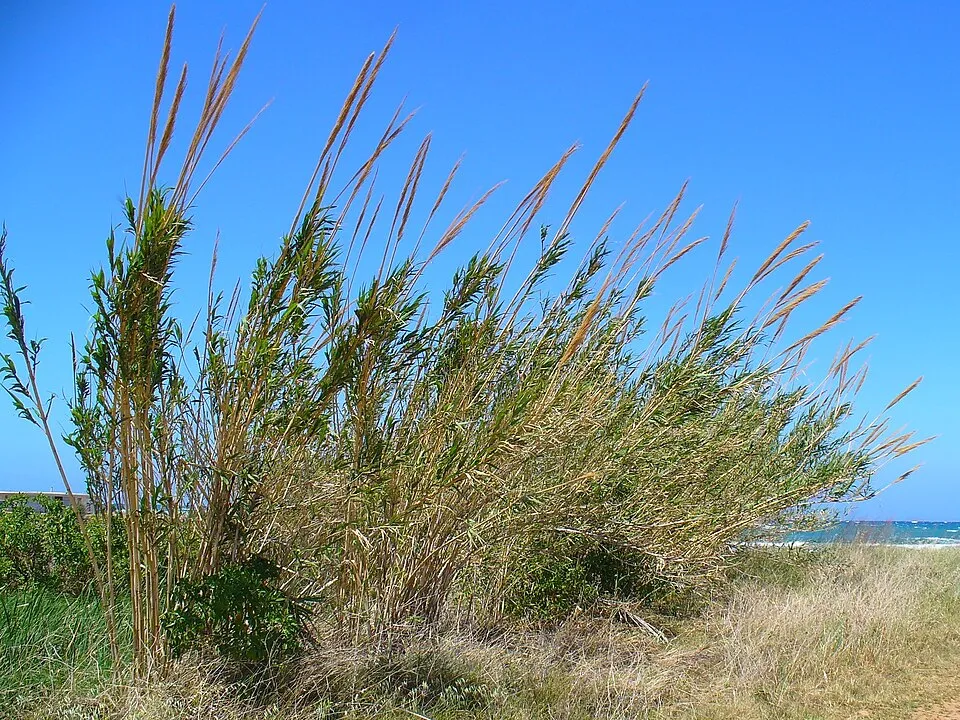
According to Global Forest Change data (University of Maryland, Global Forest Watch), about 3,630 ha of tree cover were lost within the boundary between 2001 and 2023 (9% of its area), peaking in 2001 and 2007. These losses include logging, storms and fires, and do not account for regrowth. According to the European CORINE Land Cover inventory (Copernicus), land cover changed on about 3,430 ha of the site between 1990 and 2018 (9% of its area): built-up land grew by 1,547 ha, mostly at the expense of open natural land, while open natural land shrank by 1,293 ha, mostly giving way to built-up land. Forest felling and regrowth add about 2,410 ha in total over the period. Since 2016, the European EFFIS system (Copernicus) has mapped 4 fires here, burning about 1,894 ha within the boundary; the largest, in September 2020 (near Serro Ventoso), covered 1,032 ha. At night, 57% of the area gives off artificial light detectable from space (NASA VIIRS Black Marble composite, 2016). Built-up and developed land (buildings, business areas, roads, quarries) covers 6% of the area, and farmland 32% (CORINE Land Cover). According to the Natura 2000 forms, of 17 assessed habitats of European interest, 3 are in excellent condition and 3 in average or reduced condition. According to the Water Framework Directive assessment (2022 river basin management plans, data 2014–2019), only 9% of the 28 km of rivers assessed within the site are in good or high ecological status; the others mostly have moderate ecological status. Since 2000, 10 invasive alien species have been recorded within the site (GBIF observations), one of them listed as of Union concern under EU Regulation 1143/2014. Among them: Procambarus clarkii (Red swamp crayfish), Oxalis pes-caprae (Bermuda buttercup) and Arundo donax (Giant Reed).
Pressure indicators
Tree cover lost
3,633 ha
2001–2023 · 9% of the area
20012023
Fires since 2016
1,894 ha
burned within the boundary (4 mapped fires)
- 2020 · Serro Ventoso · 1,032 ha
- 2020 · Arrimal e Mendiga · 585 ha
- 2017 · Mira de Aire · 230 ha
Light at night
57%
of the area gives off artificial light visible from space
DarkLit
Built-up land
6%
buildings, business areas, roads, quarries · farmland 32%
Land cover change
3,430 ha
changed cover, 1990–2018 · CORINE · 9% of the area
- +1,547 ha · built-up land
- −1,293 ha · open natural land
forest felling and regrowth: 2,410 ha in total
Rivers and lakes
9%
of the 28 km of assessed rivers in good or high ecological status · WFD 2022
assessments 2014–2019
Invasive alien species
10
incl. 1 of EU concern · since 2000
 Red swamp crayfishEU
 Bermuda buttercup
 Giant Reed
 Oceanblue Morning Glory
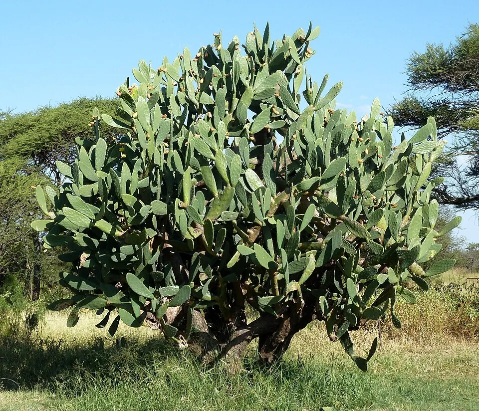 Tuna Cactus
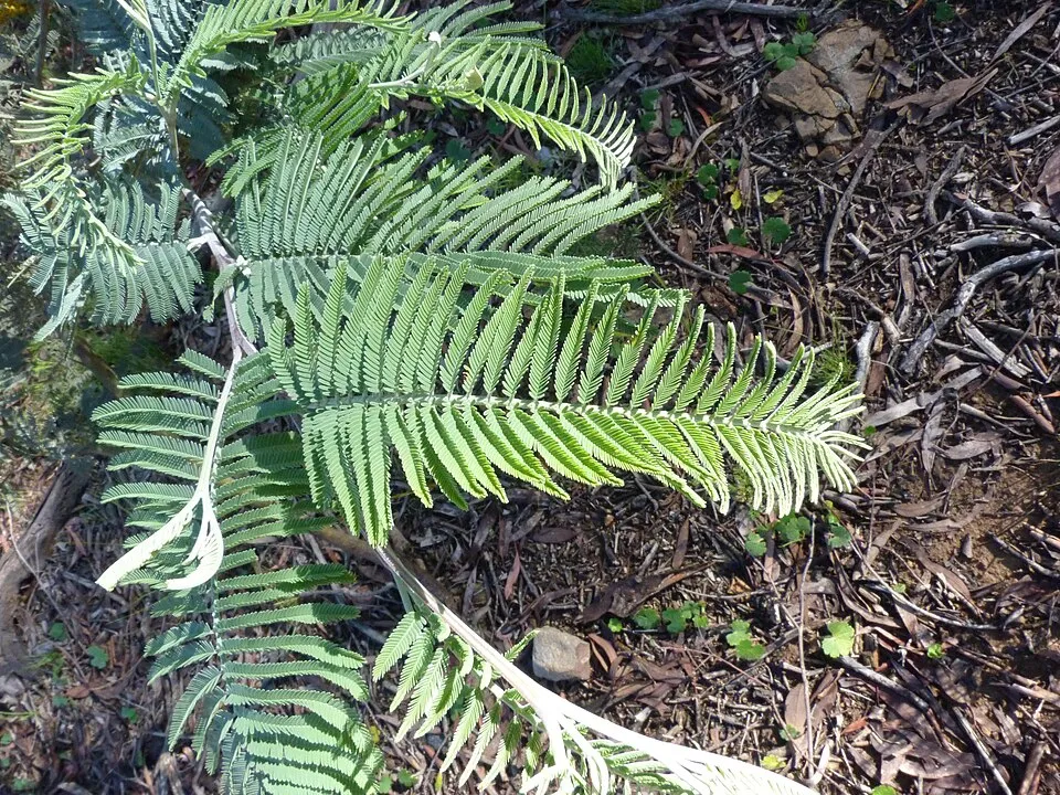 Silver Wattle
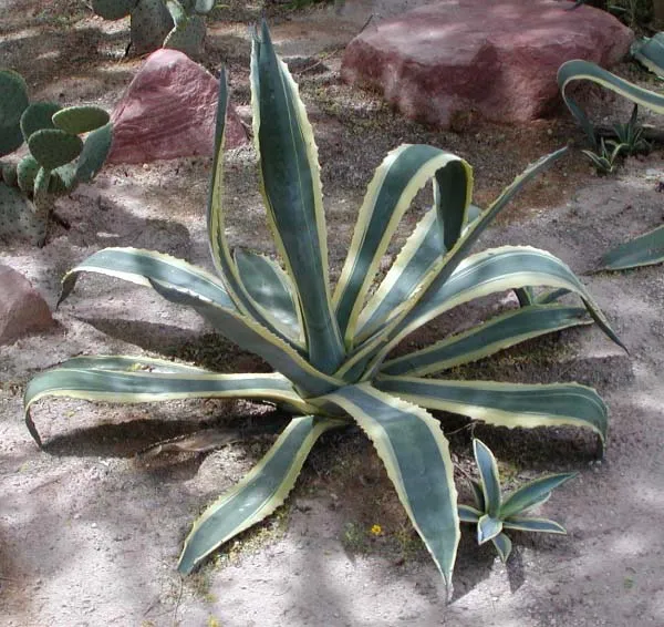 American century plant
 Pampas grass
Photos: Red swamp crayfish © MikeMurphy · Public domain; Bermuda buttercup © MathKnight and Zachi Evenor אביר המתמטיקה וצחי אבנור · CC BY-SA 4.0; Giant Reed © H. Zell · CC BY-SA 3.0; Oceanblue Morning Glory © Paulo rsmenezes · CC BY-SA 3.0; Tuna Cactus © JMK · CC BY-SA 3.0; Silver Wattle © Donald Hobern from Copenhagen, Denmark · CC BY 2.0; American century plant © Stan Shebs · CC BY-SA 3.0; Pampas grass © Solipsist · CC BY-SA 2.0
Sources: Global Forest Change (Hansen et al., University of Maryland, via Global Forest Watch, CC-BY 4.0); EFFIS, European Commission / Copernicus; NASA Black Marble 2016 (public domain); CORINE Land Cover 2018 (Copernicus) or MODIS.
CORINE Land Cover Change 1990–2018: generated using European Union's Copernicus Land Monitoring Service information (EEA), aggregated by Parkavela; DOI 10.2909/f30f1000-7cf8-43bb-872c-5eb093911b24.
Ecological status of water bodies: European Environment Agency, WISE – Water Framework Directive, 3rd river basin management plans (2022), CC BY 4.0. Official national classification, not comparable between countries.
Invasive alien species: Global Register of Introduced and Invasive Species (ISSG, CC BY 4.0); Union list, Regulation (EU) 1143/2014 (INBO, CC0); GBIF.org records (CC0 / CC BY 4.0), at least 2 per species.
Practical information
Cities and airport
- Pombal
36 km as the crow flies - Queluz
71 km as the crow flies - Airport: Humberto Delgado (LIS)
66 km as the crow flies
Visitor information
- Posto de Turismo
within the site - Centro Cultural de Chãos
within the site - Jazida de icnofósseis de Vale de Meios
within the site - Centro de Interpretação Subterrâneo da Gruta do Algar do Pena
within the site
Hiking
16 waymarked routes listed, including:
Caminho de TejoCaminhos de Fátima (Caminho do Tejo)Caminhos de Fátima (Caminho Poente)Caminhos de Fátima (Caminho dos Candeeiros)
Data © OpenStreetMap contributors (ODbL) · Wikidata (CC0)
Waymarked hiking routes
Lisboa/Fátima Caminhos de Fátima (Caminho do Tejo)
14.2 km within the site ↗ 254 m↘ 517 m 81–398 m
Nazaré/Fátima Caminhos de Fátima (Caminho Poente)
14.1 km within the site ↗ 555 m↘ 323 m 145–403 m
Rio Maior/Fátima Caminhos de Fátima (Caminho dos Candeeiros)
44.5 km within the site ↗ 733 m↘ 999 m 123–532 m
PR8ACN Entre o Aqueduto e o Alviela
4.1 km within the site ↗ 56 m↘ 67 m 52–125 m
Tracks © OpenStreetMap contributors (ODbL), clipped to the boundary; elevation gain and profiles computed on the longest section from Mapzen Terrain Tiles (≈ 30 m), indicative only.
Bathing
1 monitored bathing site in or within 1 km of the site · 2025 classification
Not classified · 1
- Olhos de Água do Alviela · river · Not classified
Source: European Environment Agency, official bathing water classification (Directive 2006/7/EC, CC-BY 4.0). Swimming is only permitted at the sites and times authorised locally.
Access and visiting
The nearest railway station is Riachos - Torres Novas - Golegã, about 13 km from the site boundary. Nearest towns of over 50,000 people, as the crow flies: Pombal (36 km) and Queluz (71 km). Nearest airport: Humberto Delgado (LIS), about 66 km away. About 480,000 people live within 20 km of the site boundary, 170,000 of them within 10 km; some 20,000 people are estimated to live inside (GHSL estimate, 2020). Visitor information on site: Posto de Turismo, Centro Cultural de Chãos and Jazida de icnofósseis de Vale de Meios. Waymarked hiking routes listed in OpenStreetMap: 16, including Caminho de Tejo, Caminhos de Fátima (Caminho do Tejo), Caminhos de Fátima (Caminho Poente) and Caminhos de Fátima (Caminho dos Candeeiros). To see: 3 caves, including Gruta do Alviela, Grutas de Santo António and Lapa do Picareiro. To plan a visit (access, opening periods, visitor rules), it is best to consult the official information from the managing body and the official website listed in this page's sources.
Source: OpenStreetMap (ODbL), Wikidata (CC0), October 2026.
Built heritage
According to Wikidata, 5 monuments classified as Portuguese cultural heritage (national monuments and properties of public interest) stand within the boundary, 1 of them a national monument. Among them are 1 castle or fortification, 1 house or civic building and 1 religious building. Nationally designated items include “Castelo de Porto de Mós” in Porto de Mós - São João Baptista e São Pedro.
1 castle or fortification1 house or civic building1 religious building1 prehistoric or archaeological site
-
Castelo de Porto de Mós
National
Porto de Mós - São João Baptista e São Pedro -
Igreja de Nossa Senhora da Assunção
Minde -
Salinas da Fonte da Bica
Rio Maior -
Casa da Família Gorjão
Porto de Mós - São João Baptista e São Pedro -
Pelourinho de Porto de Mós
Porto de Mós - São João Baptista e São Pedro
Source: Wikidata (CC0), monuments in each country’s official heritage protection registers, at national or regional level. Each item links to its Wikidata entry.
When to visit
Best time to visit: from March to September, with average temperatures of 10 to 20 °C and moderate rainfall. Day length ranges from about 9 h 23 min in December to 14 h 57 min in June. Wildlife records published on GBIF peak for birds (April and May), plants (April and May), butterflies and moths (May and June), dragonflies (August and September) and mammals (April). These peaks also reflect when observers are most active.
Source: Copernicus ERA5-Land (C3S), monthly averages 1996–2025 at the representative point, temperatures adjusted for elevation.
Contains modified Copernicus Climate Change Service information 2026. Neither the European Commission nor ECMWF is responsible for any use that may be made of the Copernicus information or data it contains.
Wildlife records calendar
JFMAMJJASOND
Birds
Plants
Butterflies & moths
Dragonflies
Mammals
Monthly records published on GBIF (CC-BY), relative to the busiest month; also reflects observer activity.
Gallery
© Christi.pi · CC BY-SA 4.0
© Alexkom000 · CC BY 4.0
© Alexkom000 · CC BY 4.0
© Alexkom000 · CC BY 4.0
© Alexkom000 · CC BY 4.0
© Alexkom000 · CC BY 4.0
Sources and licences
- Wikidata: Q3364596
- OpenStreetMap: relation 540545
- Wikipedia: en.wikipedia.org/wiki/Aire_and_Candeeiros_Ranges_Natural_Park
- WDPA: 5783
References
- cds.climate.copernicus.eu: climate · CC-BY-4.0
- registry.opendata.aws: elevation of the reference point, detailed relief · PD
- land.copernicus.eu: land cover, land cover change, sea share · COPERNICUS
- doi.org: population around the site · CC-BY-4.0
- wikidata.org: official area, establishment date, protected heritage, nearby cities and airport, access and peaks, lake depths, places to see · CC0-1.0
- eea.europa.eu: bathing water quality, ecological status of waters · CC-BY-4.0
- en.eurovelo.com: EuroVelo cycle routes · ODbL-1.0
- cycling.waymarkedtrails.org: cycle routes · ODbL-1.0
- opentopodata.org: elevations · PD
- forest-fire.emergency.copernicus.eu: wildfires · COPERNICUS
- globalforestwatch.org: tree cover loss · CC-BY-4.0
- gbif.org: seasonality of sightings, invasive alien species, observed species · CC-BY-4.0
- europe-geology.eu: geology · CC-BY-4.0
- hydrosheds.org: lakes · CC-BY-4.0
- natura2000.eea.europa.eu: Natura 2000 habitats and species · CC-BY-4.0
- openstreetmap.org: official name, access and peaks, trail difficulty, wheelchair access · ODbL-1.0
- earthobservatory.nasa.gov: night light · PD
- hiking.waymarkedtrails.org: route difficulty · ODbL-1.0
- nsidc.org: snow cover · PD
- wikidata.org: Wikipedia article · CC-BY-SA-4.0
Data © OpenStreetMap contributors (ODbL), Wikidata (CC0) and the sources cited.