
Mammal
Egyptian mongoose: where to see it
Herpestes ichneumon
This mammal species is recorded in 17 protected areas of the atlas, and is listed on the official Natura 2000 form of each of them. Within the atlas countries, it is observed in Portugal and Spain. Records peak from October to December. It is a species of Community interest under the Habitats Directive (Annex V). In the EU its conservation status is assessed as favourable (2013–2018 reporting).
Best time to see it: October–December
Records published on GBIF by month (CC0 and CC BY 4.0 licences only), in the atlas countries, all years combined; they also reflect observer activity.
Status and protection
Habitats Directive V
The species is listed in Annex V of the Habitats Directive.
In the EU its conservation status is assessed as favourable in the Mediterranean and Atlantic regions (2013–2018 reporting).
Distribution
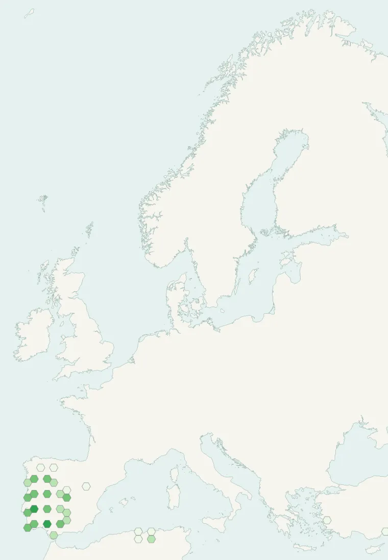
Records published on GBIF (CC0 and CC BY 4.0 licences): the darker the shade, the more records there are; they also reflect observation effort.
Atlas countries where it is recorded
From Wikipedia
The Egyptian mongoose (Herpestes ichneumon), also known as ichneumon, is a mongoose species native to the tropical and subtropical grasslands, savannas, and shrublands of Africa and around the Mediterranean Basin in North Africa, the Middle East and the Iberian Peninsula. Whether it is introduced or native to the Iberian Peninsula is in some doubt.
Source: Wikipedia, article “Egyptian mongoose” (version of August 22, 2026) · history and authors · licence CC BY-SA 4.0 · shortened excerpt
Protected areas where it is recorded
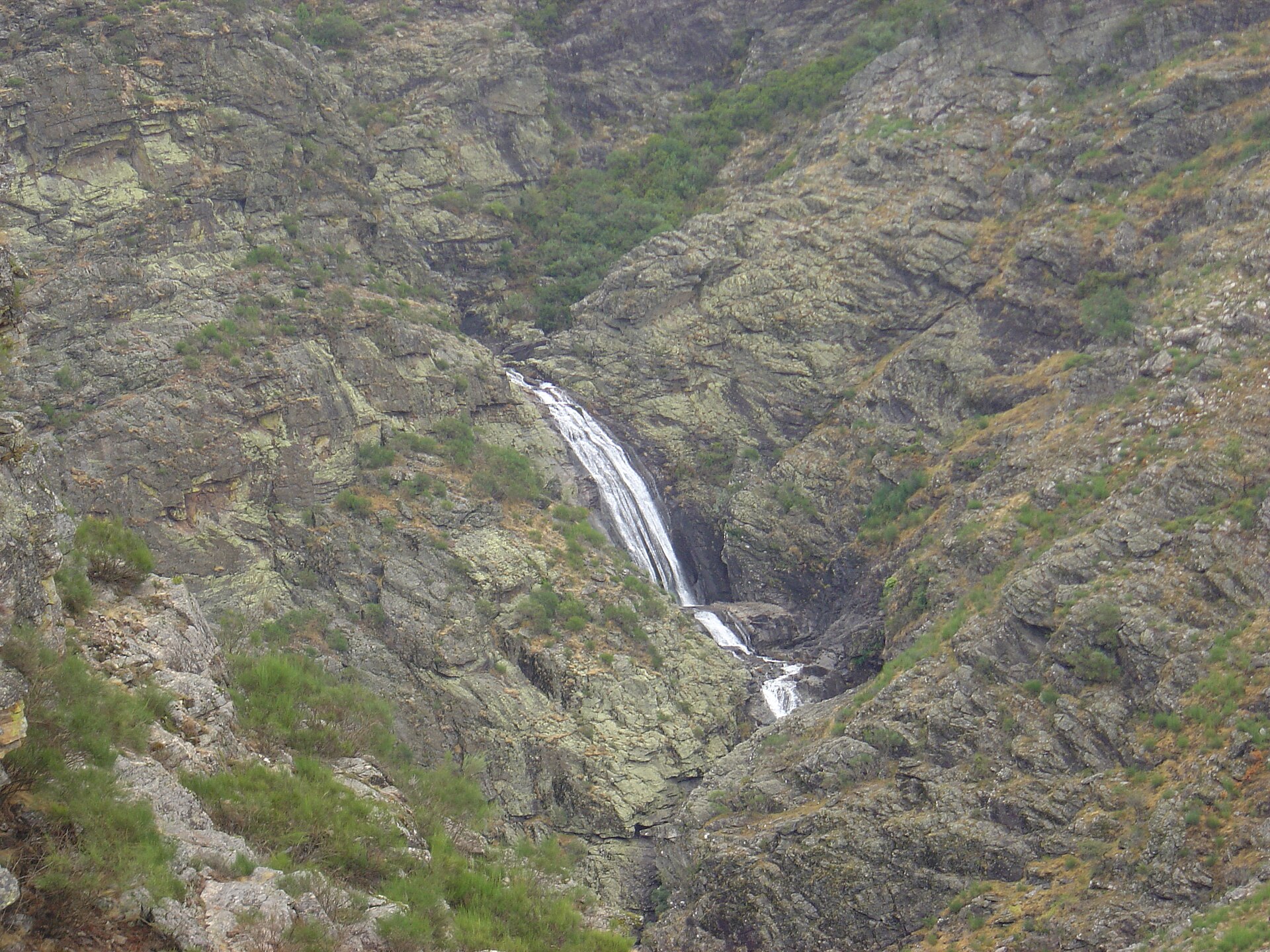
Natura 2000
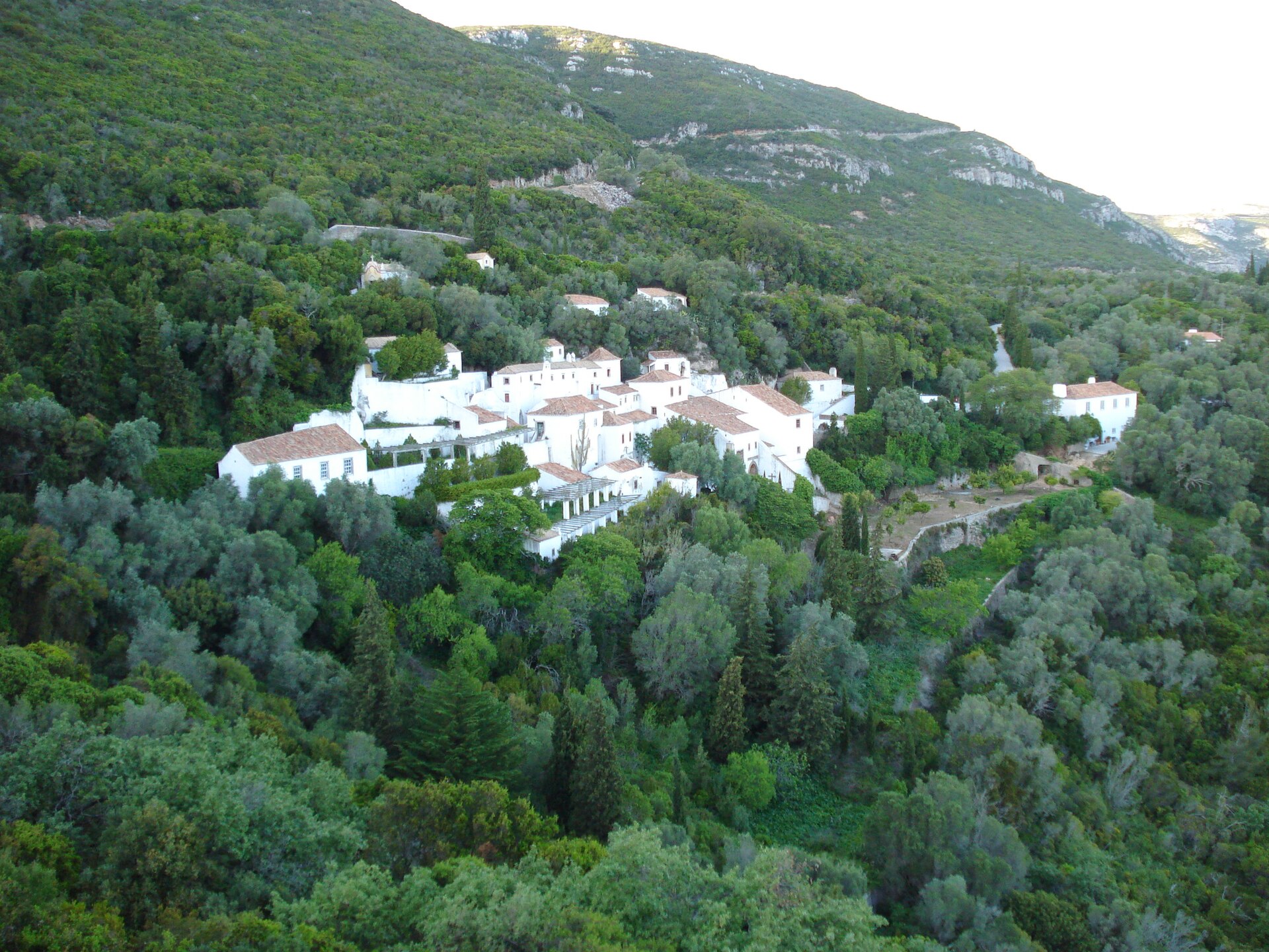
Natura 2000
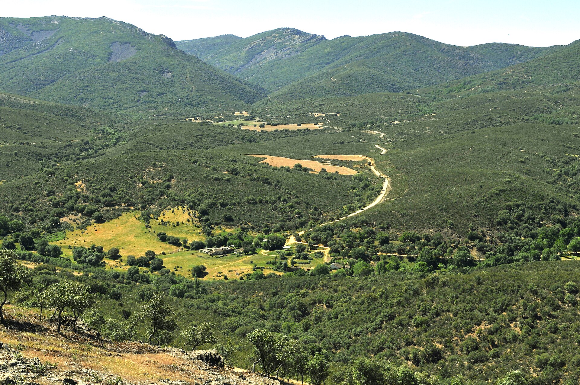
Natura 2000
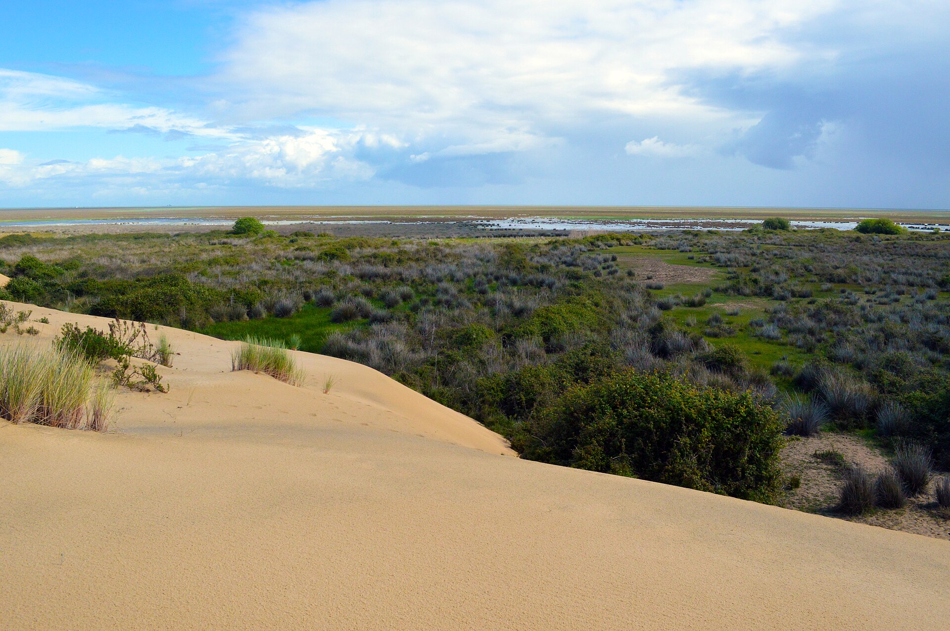
Natura 2000
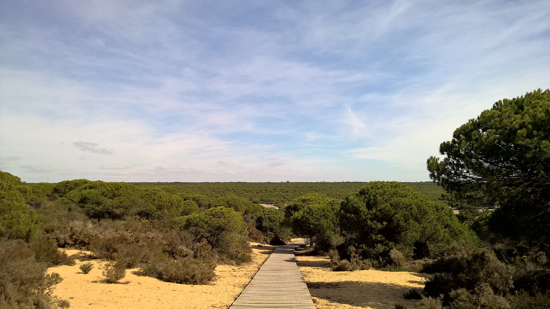
Natura 2000

Natura 2000
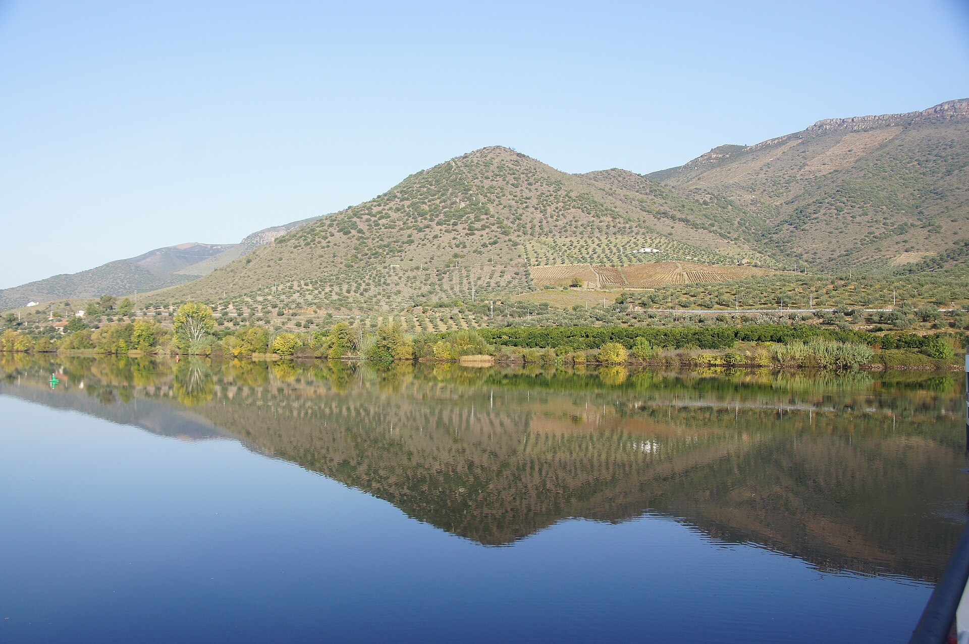
Natura 2000
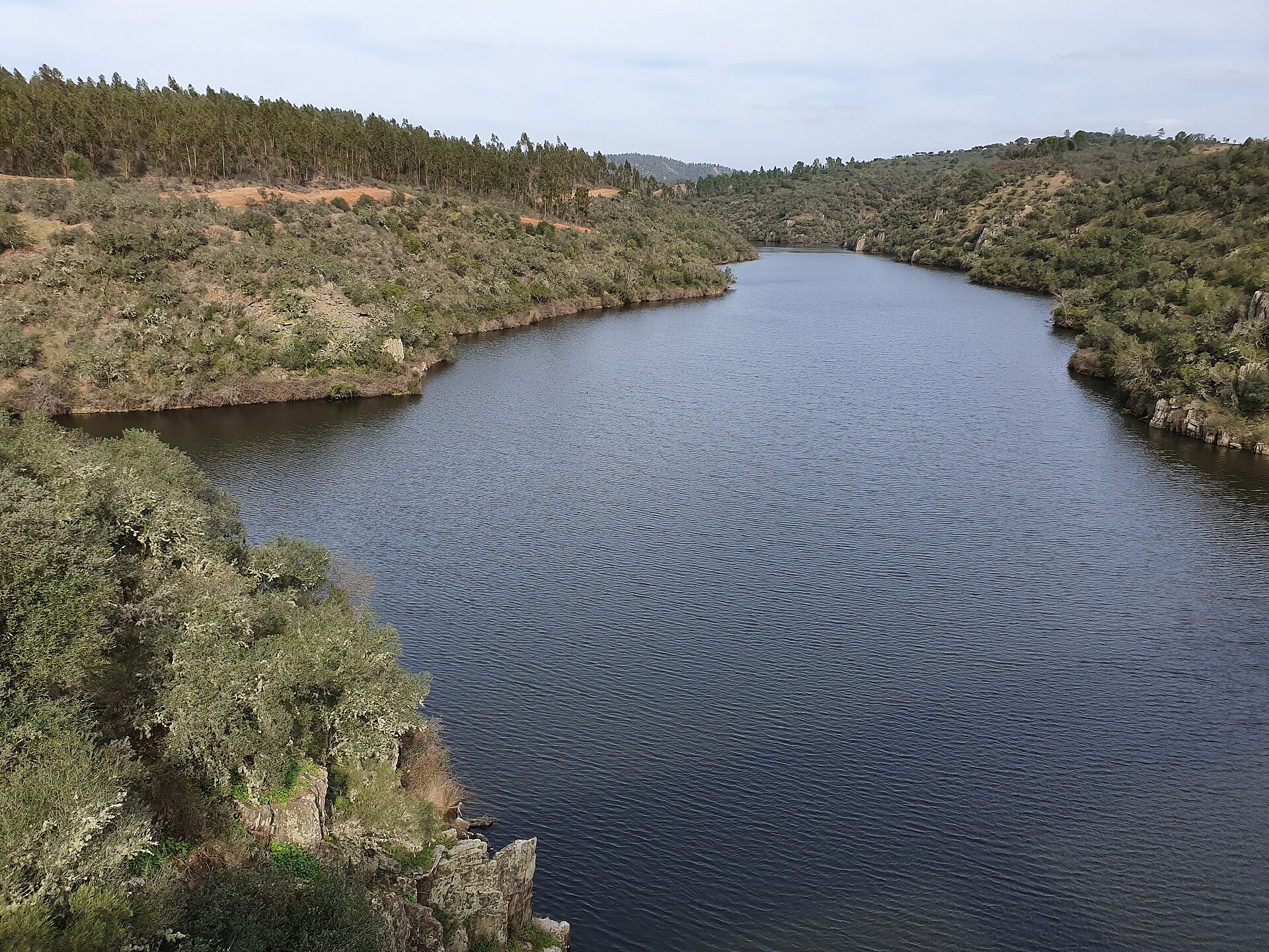
Natura 2000

Natura 2000
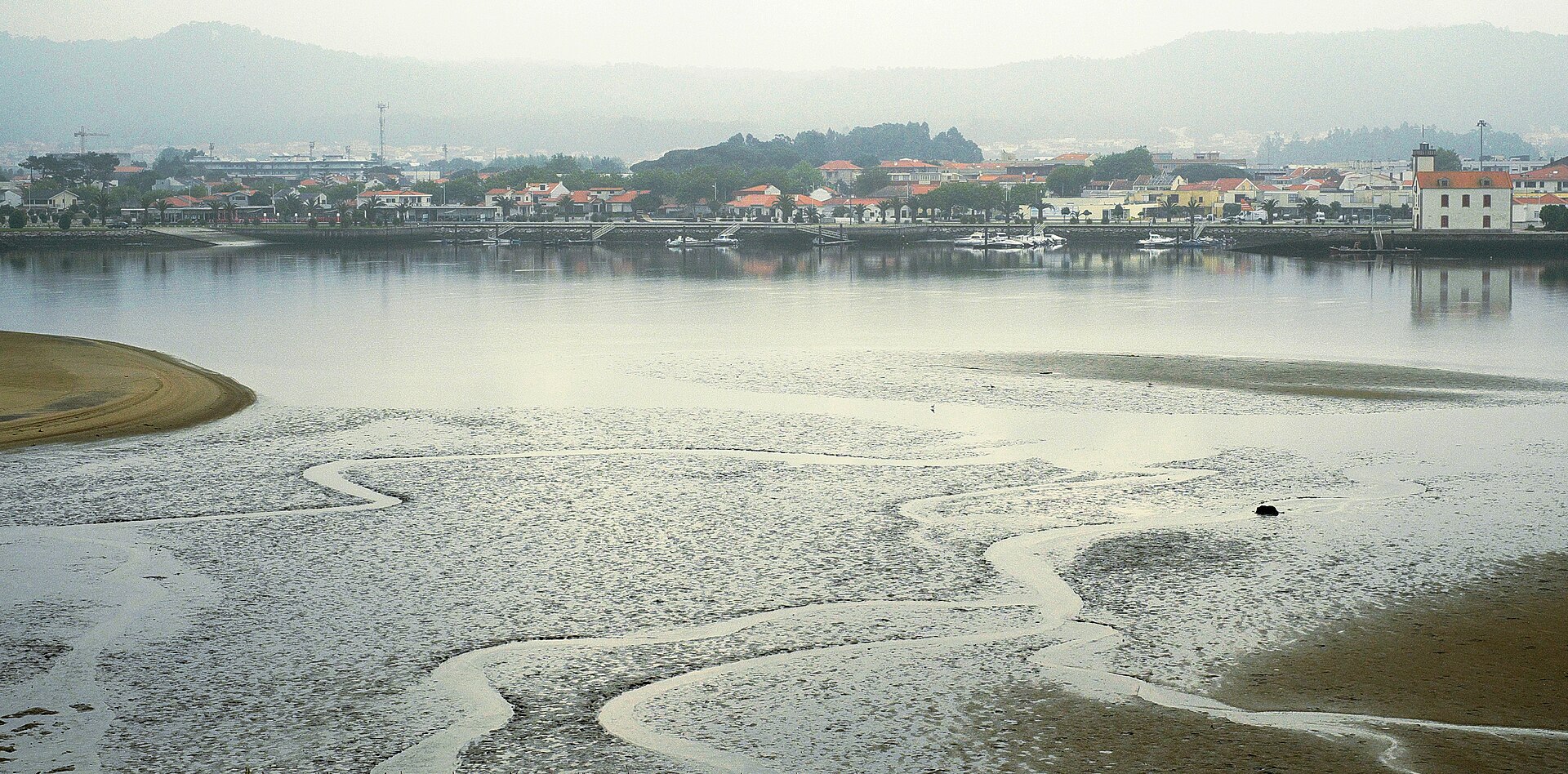
Natura 2000
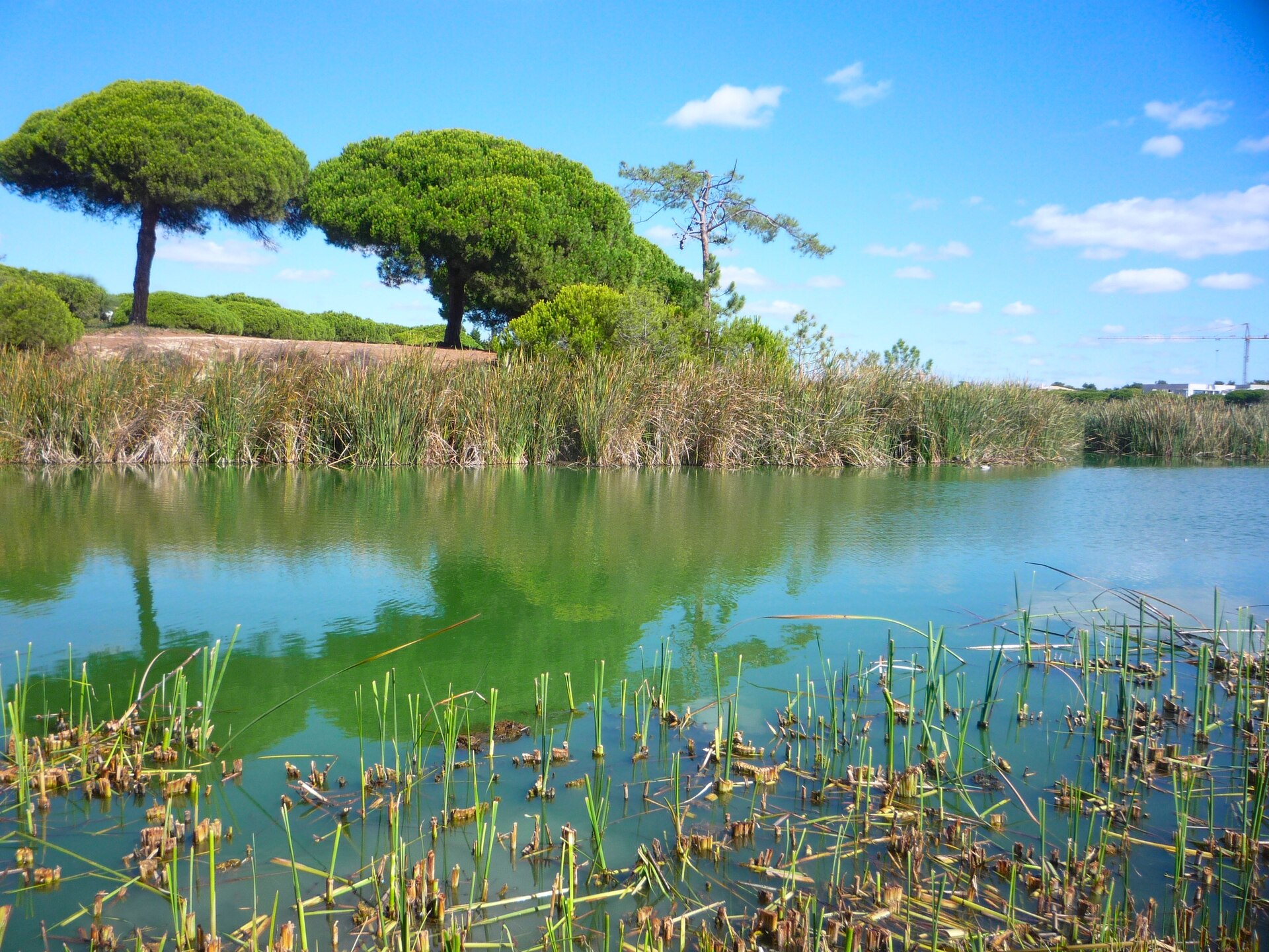
Natura 2000
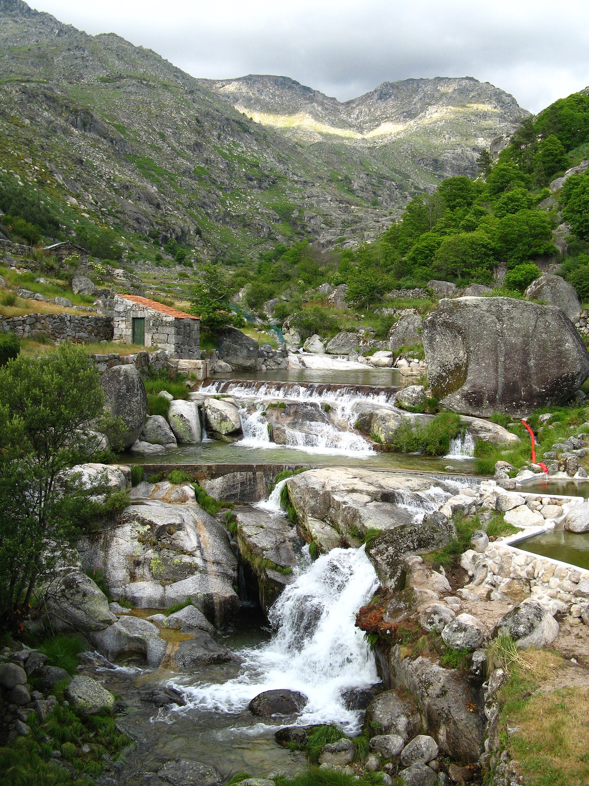
Natura 2000

Natura 2000
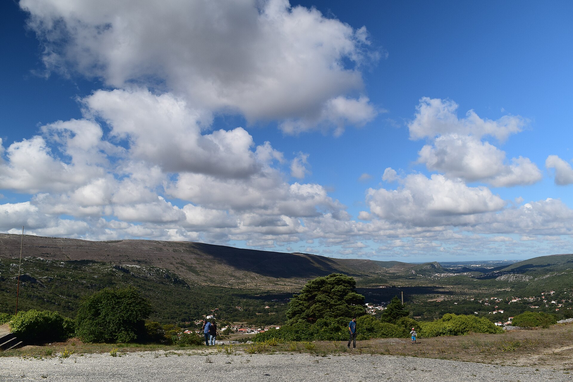
Natura 2000

Natura 2000
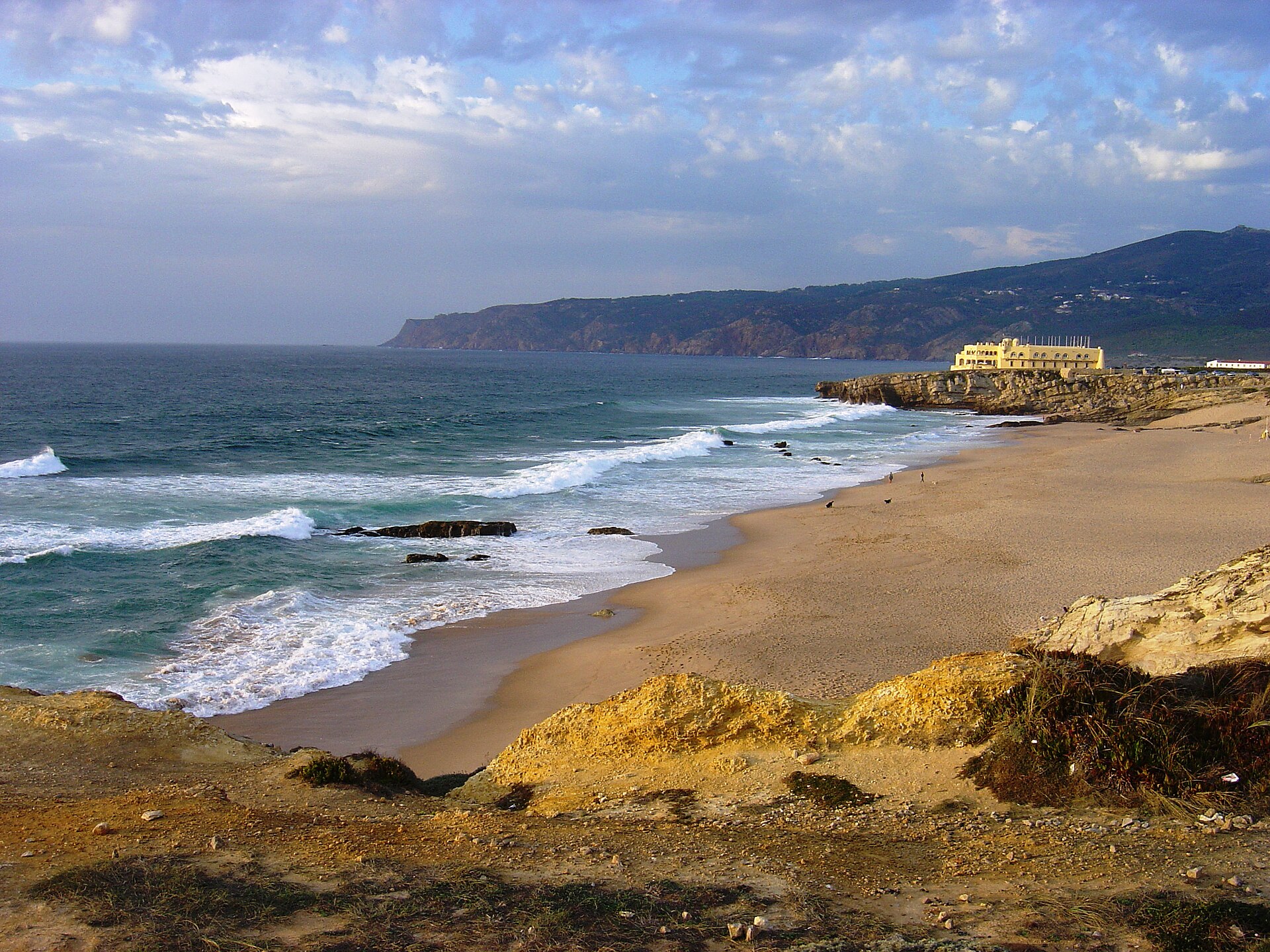
Natura 2000

Natura 2000
Other species to discover
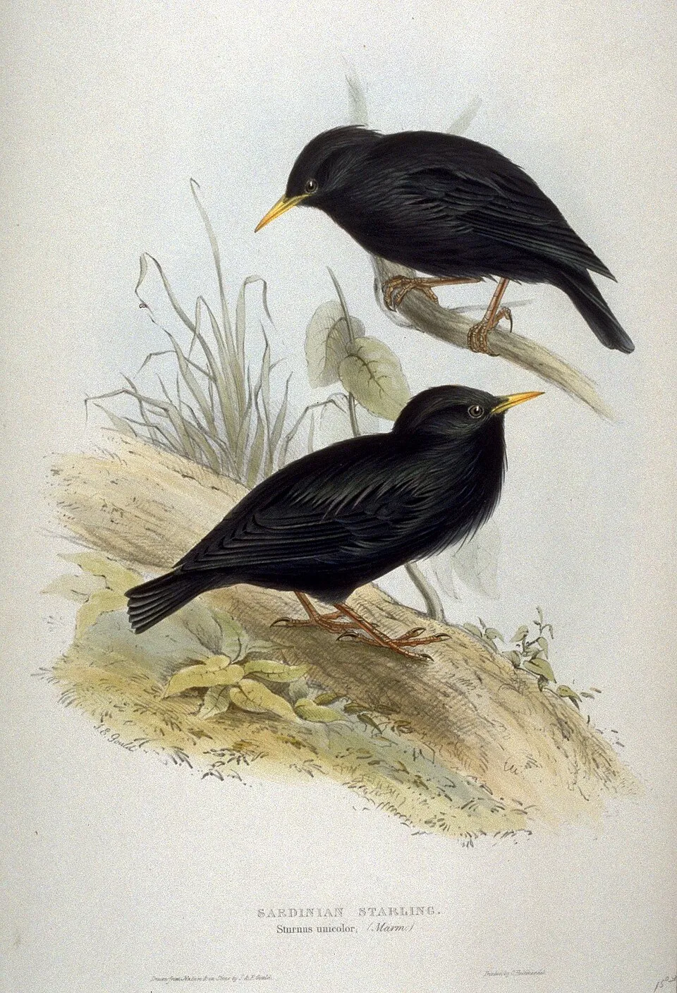 Spotless Starling
Sturnus unicolor 14 places in common
 Horseshoe Whip Snake
Hemorrhois hippocrepis 14 places in common
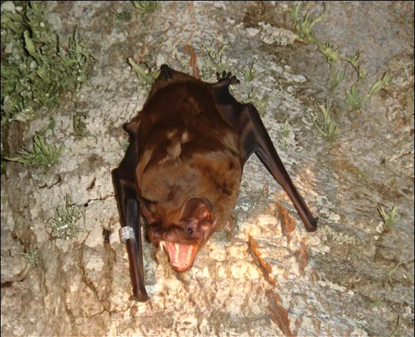 Greater noctule bat
Nyctalus lasiopterus 14 places in common
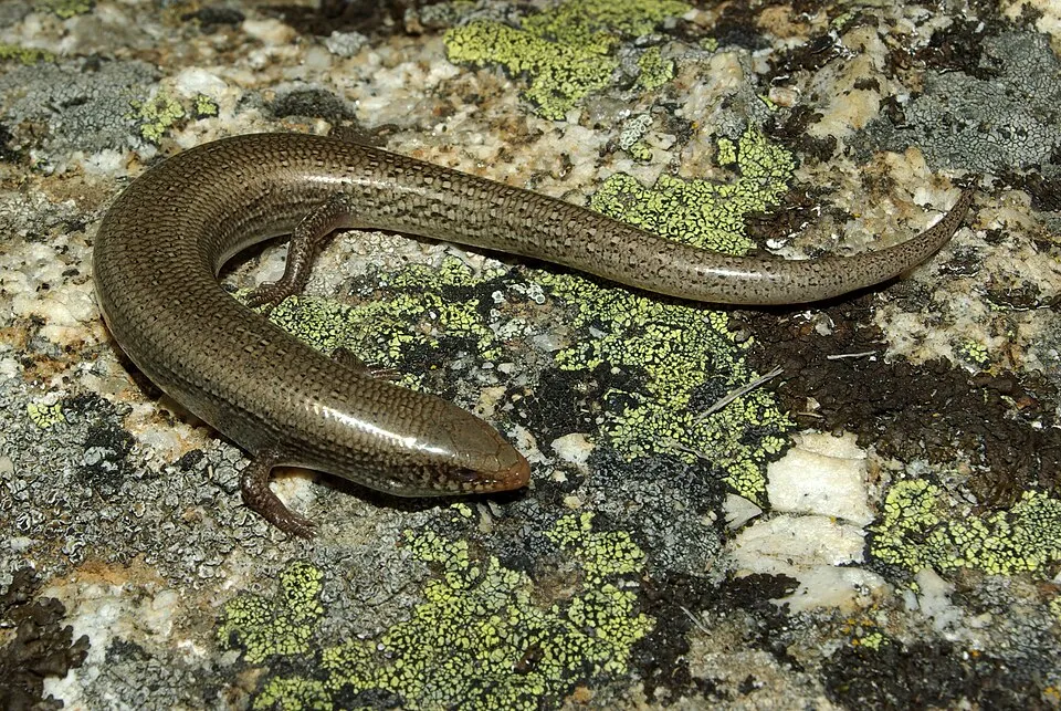 Bedriaga's skink
Chalcides bedriagai 13 places in common
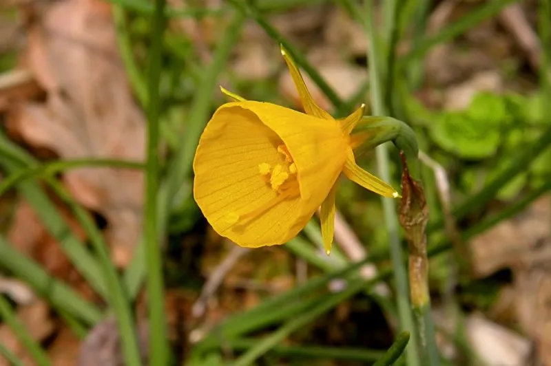 Petticoat daffodil
Narcissus bulbocodium 13 places in common
 Mehely's Horseshoe Bat
Rhinolophus mehelyi 8 places in common
Sources and credits
- Presence: most-recorded species of each place on GBIF and species of Community interest in the Natura 2000 forms (EEA, CC-BY 4.0); absence from the list does not mean the species is absent.
- Common names: Wikidata (CC0) and GBIF.
- Photos and sounds: Wikimedia Commons, author and licence given for each file.
- Classification: GBIF Backbone Taxonomy (GBIF Secretariat), CC BY 4.0, doi:10.15468/39omei.
- Countries, elevations, months and maps: GBIF.org, CC0 or CC BY 4.0 occurrences only, accessed October 22, 2026, GBIF.org.
- Base map: Natural Earth (public domain).
- Excerpt: Wikipedia, CC BY-SA 4.0 (full credit below the excerpt).
- Annexes: Directive 92/43/EEC (consolidated version), © European Union, EUR-Lex.
- Conservation status: EEA / DG ENV, Article 17 Habitats Directive reporting (2013–2018), CC BY 4.0.