Plant
Portugal · Terrestrial
Nature park of 74,229 hectares in Portugal, established in 1979.
Nature park of 74,229 hectares in Portugal, established in 1979.
Montesinho Natural Park is a nature park in Portugal (Europe). It is a predominantly terrestrial area. Established in 1979, it covers about 74,229 hectares.
Protected as a nature park. International labels and designations: Natura 2000 network (2 sites). Key dates: established in 1979, first Natura 2000 site under the Birds Directive in 1988 and first Natura 2000 site under the Habitats Directive in 2008.
Sources: Wikidata (CC0) for establishment and international labels; EEA Natura 2000 database (CC-BY 4.0) for site designation dates.
In Portugal (Europe). Representative point: 41.8914° N, 6.8435° W.
About 74,229 hectares (742 km²). It is the 4th largest of the 15 nature parks in Portugal covered by Parkavela.
In 1979.
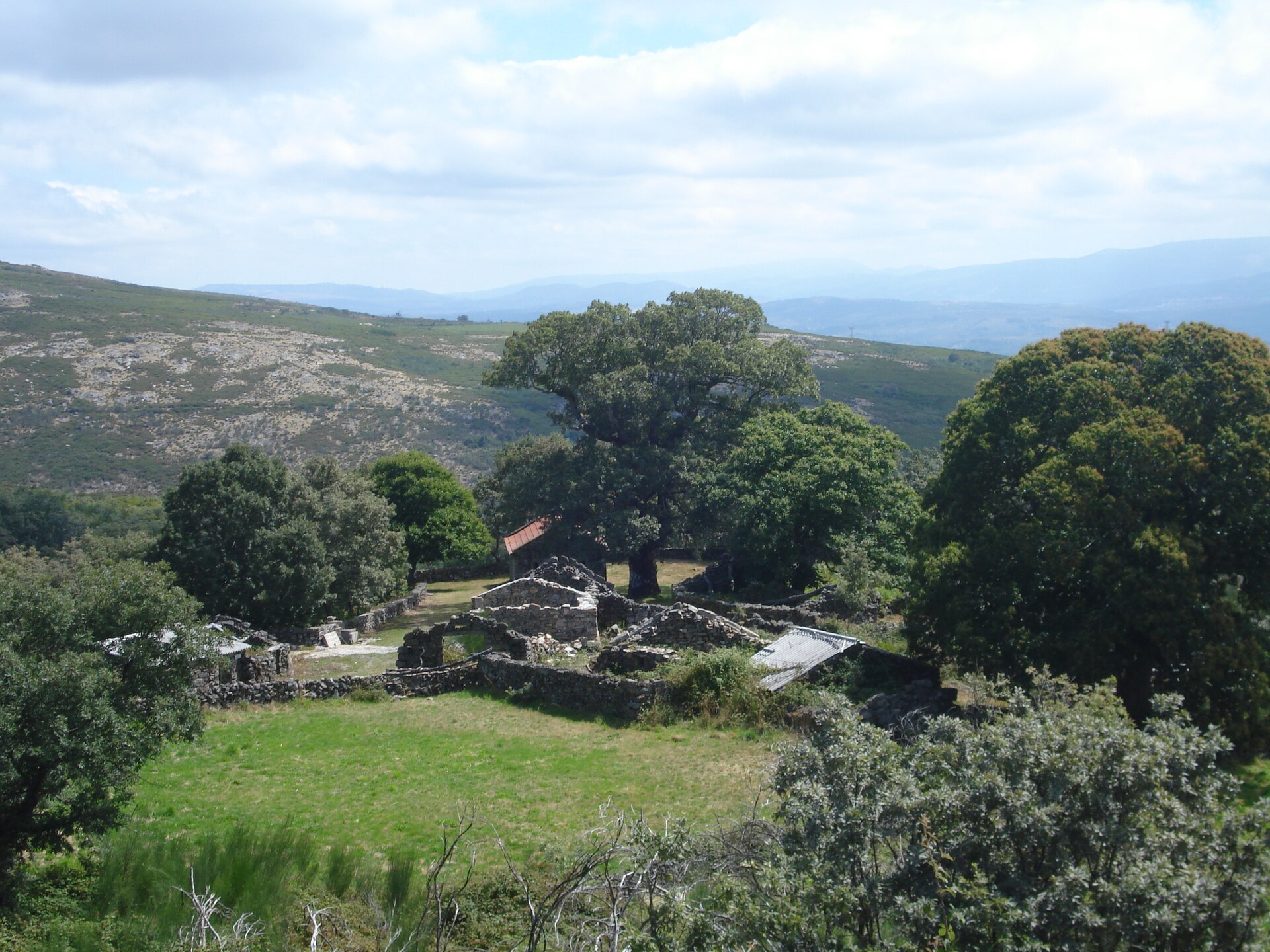
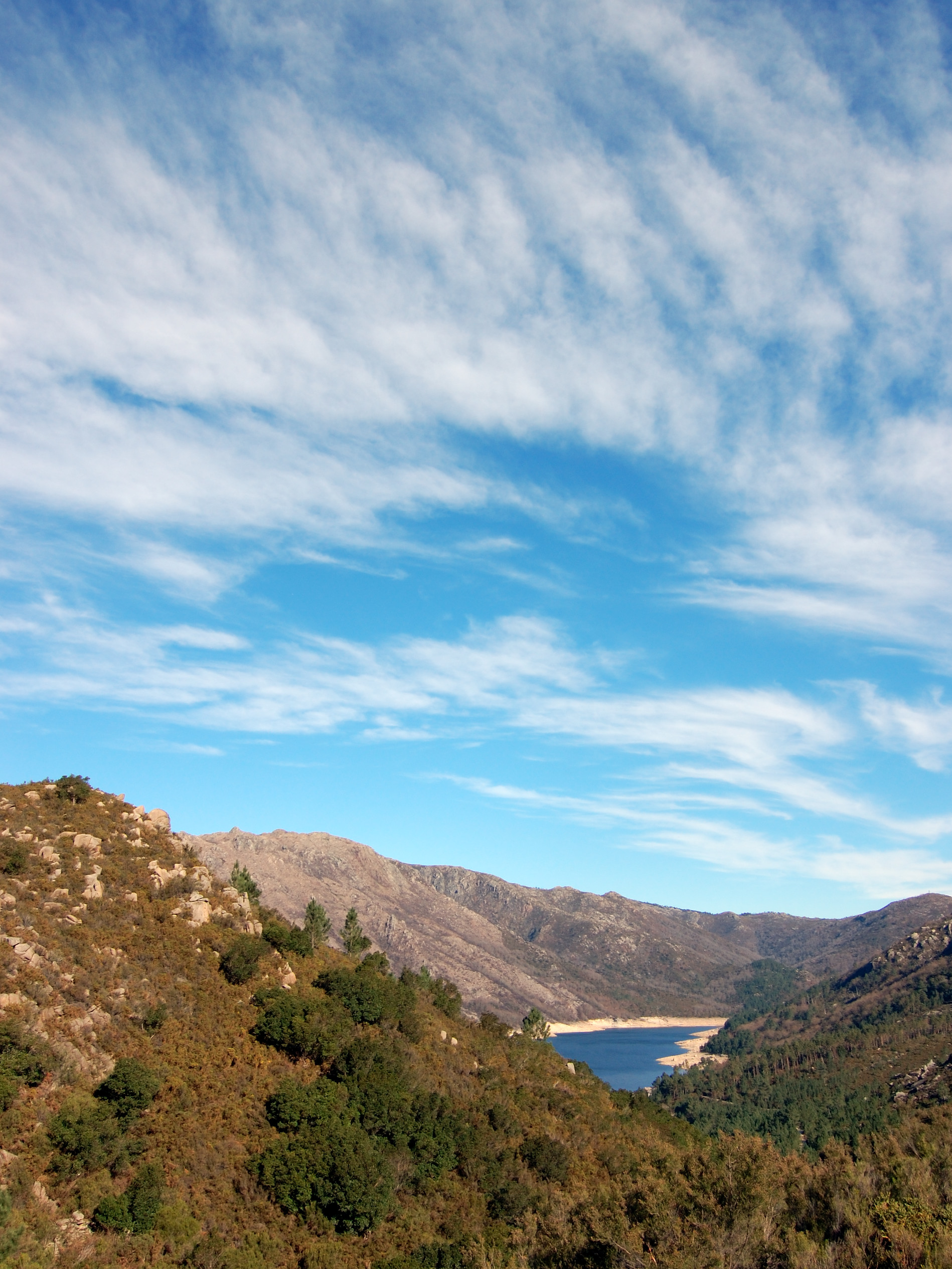
A terrestrial area, with mountains.
According to the European 1:1 million geological map (EGDI), the bedrock consists mainly of phyllites and slates (69% of sampled points), granites (13%) and amphibolites (13%). These are mostly metamorphic rocks. The geological units date mainly from the Ordovician (69% of sampled points).
Serra de Montesinho, at 1,486 m (OpenStreetMap).
Serra de Montesinho (1,486 m), Coroa (1,273 m), Montezinho (1,155 m), Igrejinha (1,147 m) and Esculqueira (1,145 m) (OpenStreetMap).
Natura 2000 network (2 sites).
Best time to visit: from April to September, with average temperatures of 10 to 21 °C and moderate rainfall.
Cave Gruta de Dine (Wikidata).
Yes. According to Wikidata, 9 monuments classified as Portuguese cultural heritage (national monuments and properties of public interest) stand within the boundary, 1 of them a national monument. For example: “Castro de Sacóias” in Baçal.
One monitored bathing site lies in or within 1 km of the site; official 2025 classification: 1 excellent (European Environment Agency). Swimming is only permitted at the sites and times authorised locally.
Nearest towns of over 50,000 people, as the crow flies: Ourense (69 km) and Zamora (73 km). Nearest airport: Francisco de Sá Carneiro (OPO), about 141 km away.
The nearest railway station is Linarejos-Pedroso, about 5 km from the site boundary.
Centro de interpretacão da Lorga de Dine and Posto de Turismo.
Yes. Waymarked hiking routes listed in OpenStreetMap: 9, including Camino Portugués de la vía de la Plata. The “Camino Portugués de la vía de la Plata” route runs for about 27 km through the site, with some 190 m of ascent on its longest section.
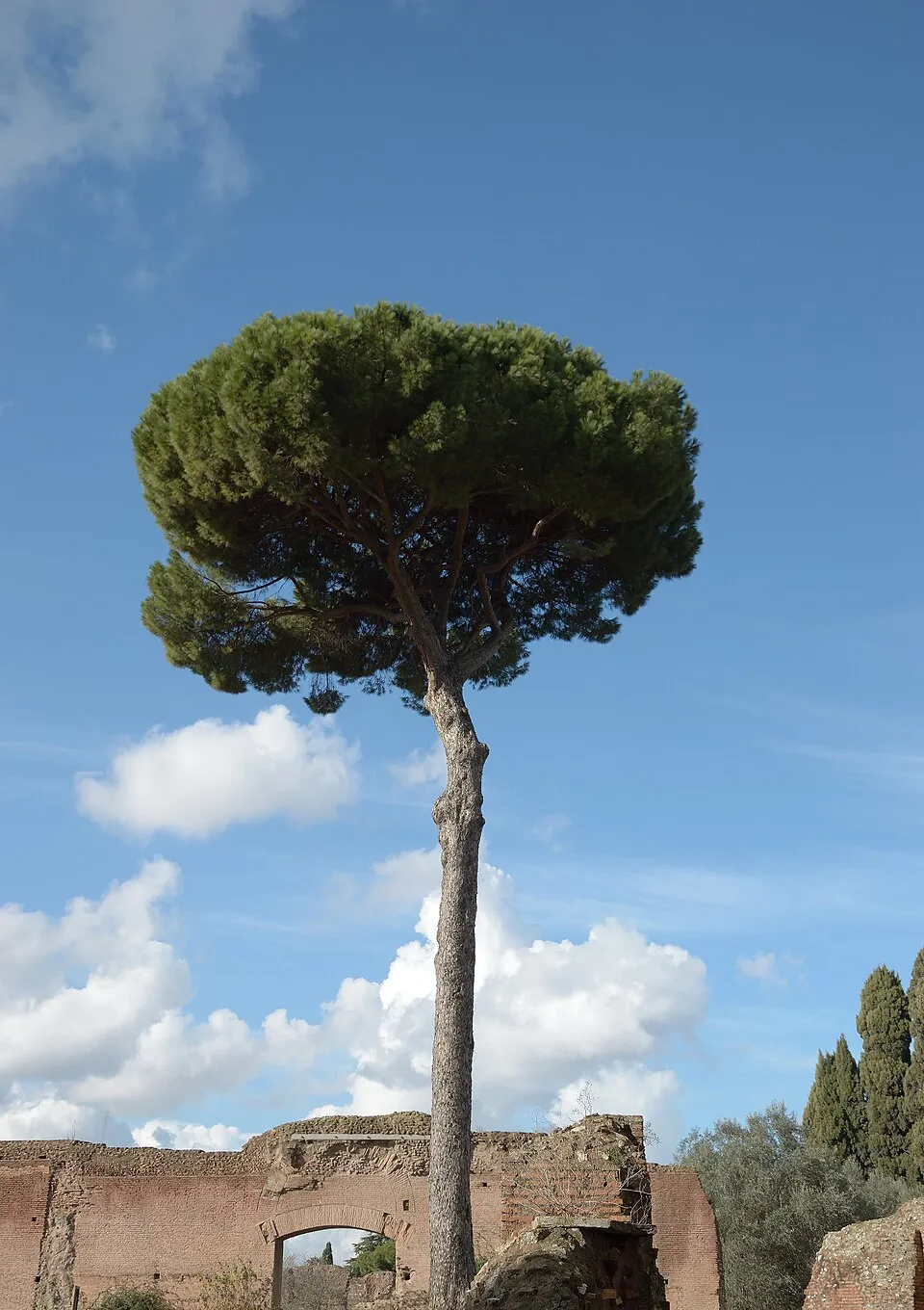
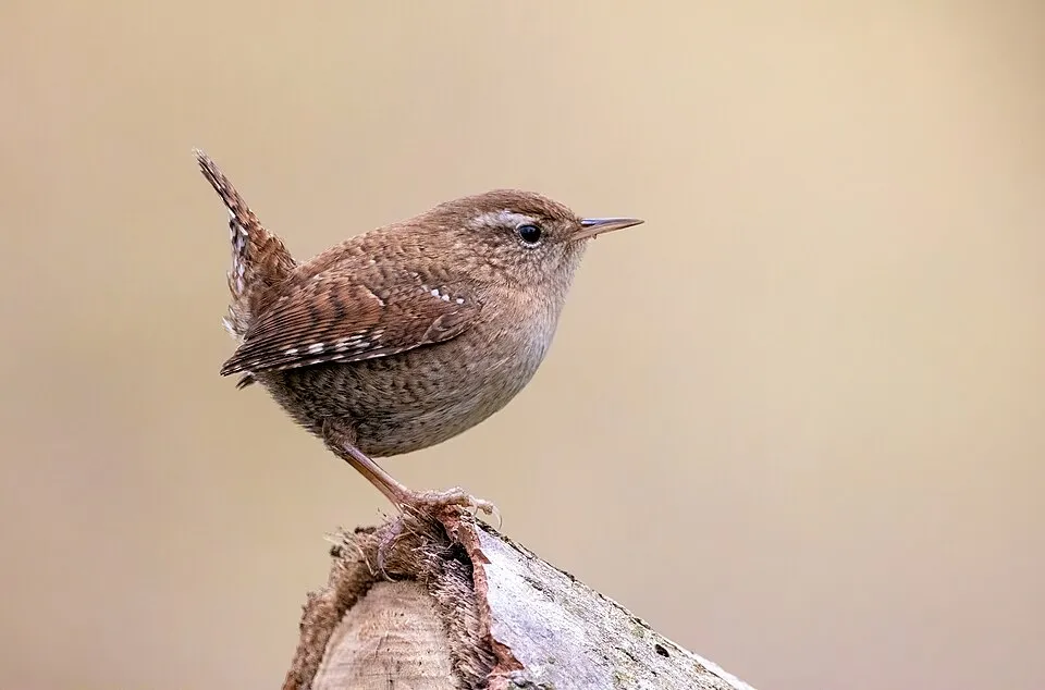
Among the species most often recorded on GBIF are Castanea sativa (Sweet Chestnut), Turdus merula (Common Blackbird), Fringilla coelebs (Eurasian Chaffinch) and Pinus pinaster (Maritime pine).
© OpenStreetMap
Download the boundary: GeoJSON · GPX Boundary © OpenStreetMap contributors (ODbL).
The representative point of the site lies at around 781 m above sea level. Over the 1996–2025 period, the mean annual temperature is about 11.9 °C and total precipitation reaches roughly 1,078 mm per year. The warmest month is usually August, the coolest January, and the wettest October. According to the European 1:1 million geological map (EGDI), the bedrock consists mainly of phyllites and slates (69% of sampled points), granites (13%) and amphibolites (13%). These are mostly metamorphic rocks. The geological units date mainly from the Ordovician (69% of sampled points).
Terrain: Mapzen Terrain Tiles (SRTM, USGS)
share of the site in each elevation band (smoothed terrain model: summits are rounded off) · Terrain: Mapzen Terrain Tiles (SRTM, USGS)
Metamorphic rocks 88 % · Igneous rocks 13 % · Main age: Ordovician (69%)
Source: EGDI 1:1M geological map (EuroGeoSurveys and national geological surveys), CC BY 4.0 · 16 sampled points within the site.
Data © OpenStreetMap contributors (ODbL)
● Mean temperature (°C) · ▮ Precipitation (mm)
Source: Copernicus ERA5-Land (C3S, doi:10.24381/cds.68d2bb30), monthly averages 1996–2025 interpolated to the representative point, temperatures adjusted for elevation.
Contains modified Copernicus Climate Change Service information 2026. Neither the European Commission nor ECMWF is responsible for any use that may be made of the Copernicus information or data it contains.
According to CORINE Land Cover (2018), the site is mainly made up of farmland (44%), heath and scrub (41%) and forests (12%). Elevation ranges from about 620 m to 1,486 m (highest point: Serra de Montesinho). Median elevation is 811 m, and 11% of the site lies above 1,000 m (SRTM elevation model). The 2 Natura 2000 sites overlapping the area list 29 habitats of European interest (5 priority), the most extensive being Galicio-Portuguese oak woods with Quercus robur and Quercus pyrenaica, Castanea sativa woods and hydrophilous tall herb fringe communities of plains and of the montane to alpine levels.
Based on occurrences aggregated by GBIF, several species are regularly recorded within the site. Among the most frequent are Castanea sativa (Sweet Chestnut), Turdus merula (Common Blackbird), Fringilla coelebs (Eurasian Chaffinch) and Pinus pinaster (Maritime pine). The full list of documented taxa is shown below. The overlapping Natura 2000 sites list 137 species of European interest: 63 birds, 28 mammals, 4 reptiles, 9 amphibians, 5 fish, 10 invertebrates and 18 plants.
From the official forms of the 2 Natura 2000 sites overlapping the area (areas reported for each whole site).
and 21 more
Common Kingfisher (Alcedo atthis) resident, Tawny Pipit (Anthus campestris) breeding, Meadow Pipit (Anthus pratensis) wintering, Tree Pipit (Anthus trivialis) breeding, Common Swift (Apus apus) breeding, Golden Eagle (Aquila chrysaetos) resident, Bonelli's Eagle (Aquila fasciata) resident, Short-eared Owl (Asio flammeus) wintering, Eurasian Eagle-owl (Bubo bubo) resident, Greater Short-toed Lark (Calandrella brachydactyla) breeding, European Nightjar (Caprimulgus europaeus) breeding, Red-necked Nightjar (Caprimulgus ruficollis) breeding and 51 more
Barbastelle (Barbastella barbastellus), Grey wolf (Canis lupus), Serotine bat (Eptesicus serotinus), European wildcat (Felis silvestris), Pyrenean desman (Galemys pyrenaicus), Common genet (Genetta genetta), Egyptian mongoose (Herpestes ichneumon), Savi's Pipistrelle (Hypsugo savii), Eurasian otter (Lutra lutra), European pine marten (Martes martes), Common bent-wing bat (Miniopterus schreibersii), Western Polecat (Mustela putorius) and 16 more
Smooth snake (Coronella austriaca), European Pond Turtle (Emys orbicularis), Iberian emerald lizard (Lacerta schreiberi), Iberian pond turtle (Mauremys leprosa)
Iberian midwife toad (Alytes cisternasii), Midwife toad (Alytes obstetricans), Iberian painted frog (Discoglossus galganoi), Natterjack toad (Epidalea calamita), Common tree frog (Hyla arborea), Western Spadefoot (Pelobates cultripes), Perez's Frog (Pelophylax perezi), Iberian Frog (Rana iberica), Marbled newt (Triturus marmoratus)
Bermejuela (Achondrostoma arcasii), Northern Iberian spined-loach (Cobitis calderoni), Luciobarbus bocagei, Northern straight-mouth nase (Pseudochondrostoma duriense), Squalius alburnoides
Southern damselfly (Coenagrion mercuriale), Marsh fritillary (Euphydryas aurinia), Jersey Tiger (Euplagia quadripunctaria), Kerry slug (Geomalacus maculosus), Pronged clubtail (Gomphus graslinii), Stag beetle (Lucanus cervus), Splendid Cruiser (Macromia splendens), Freshwater pearl mussel (Margaritifera margaritifera), Orange-spotted Emerald (Oxygastra curtisii), Willowherb Hawkmoth (Proserpinus proserpina)
Alyssum pintodasilvae, Anthyllis vulneraria subsp. lusitanica, Mountain arnica (Arnica montana), Dianthus laricifolius subsp. marizii, Eryngium viviparum, Festuca brigantina, Festuca elegans, Festuca summilusitana, Jasione crispa subsp. serpentinica, Leuzea rhaponticoides, Linaria coutinhoi, Narcissus asturiensis and 6 more
Source: Natura 2000 standard data forms (EEA, CC-BY 4.0). Not exhaustive: sensitive species are not published.
Occurrences documented via GBIF; they are neither an exhaustive inventory nor proof of current presence.
Records: GBIF.org (CC-BY). Names: Wikidata (CC0), GBIF. Photos: Wikimedia Commons.
The primary purpose of the site is to preserve its natural habitats and the biodiversity they support. The species recorded (Biodiversity tab) reflect its ecological value. The designations it holds frame its management and the control of land use.
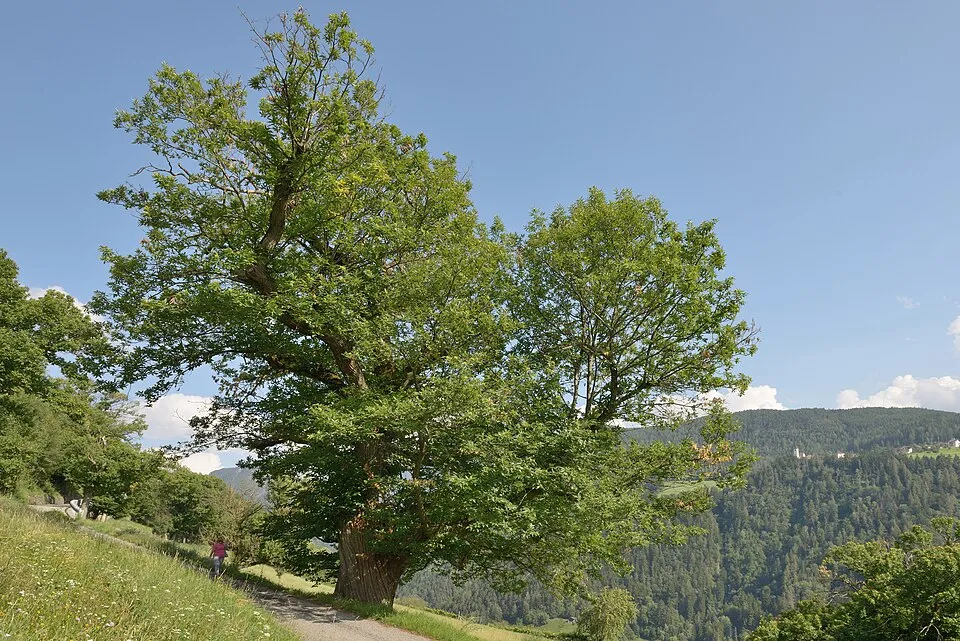
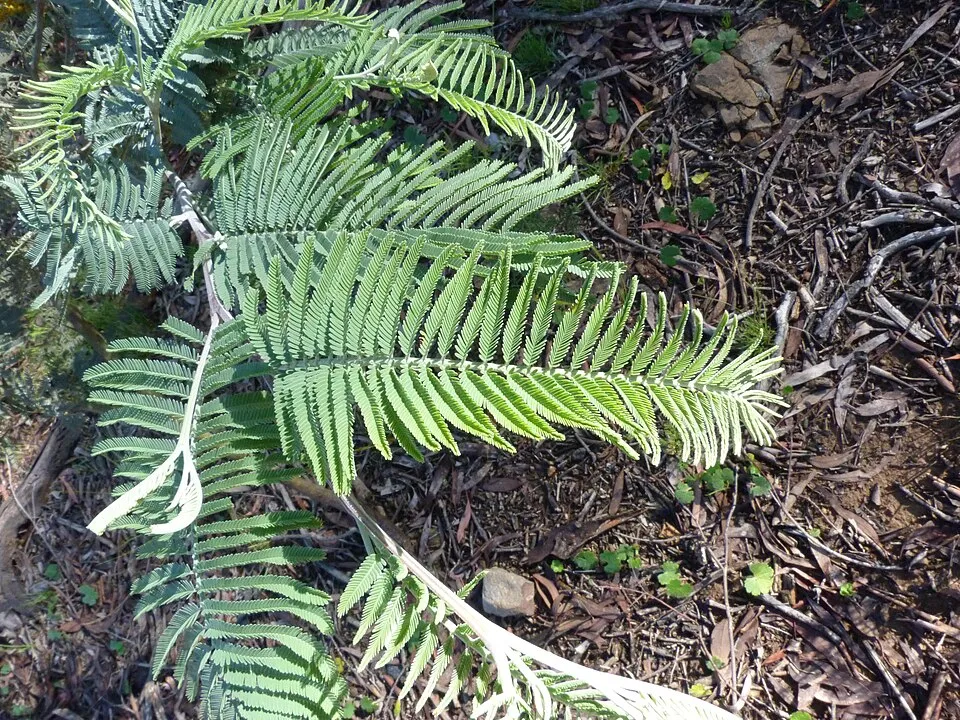
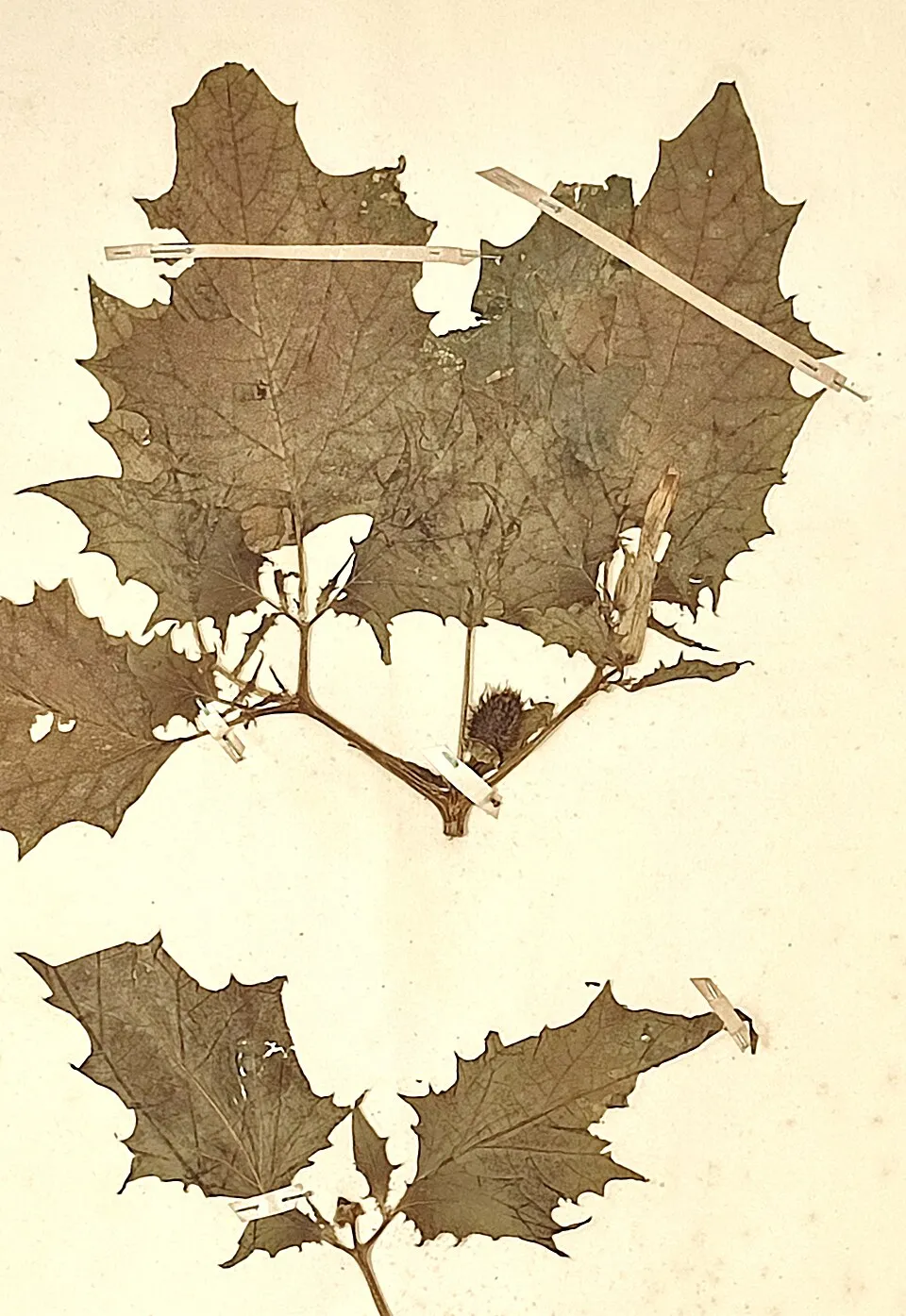
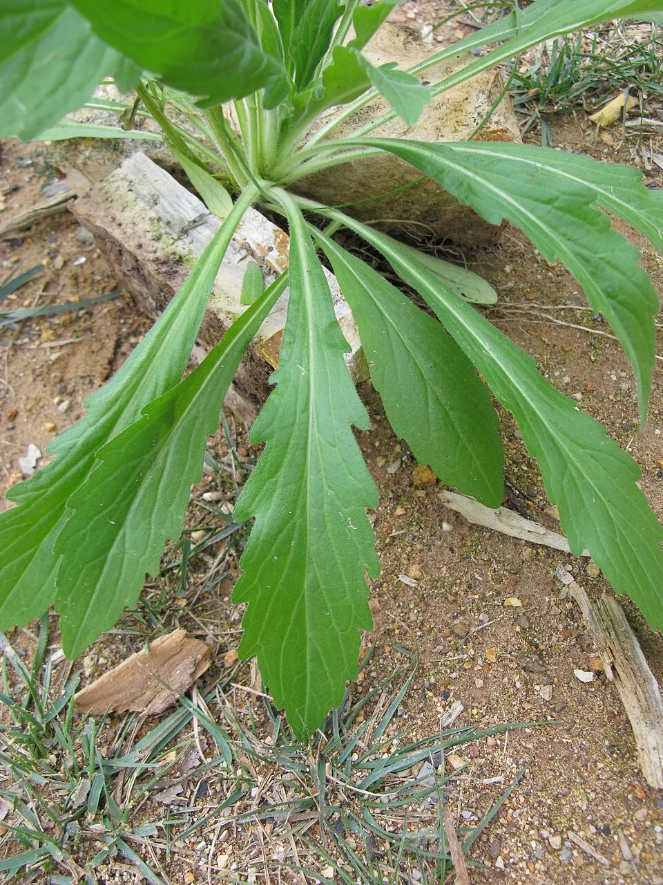
According to Global Forest Change data (University of Maryland, Global Forest Watch), about 5,970 ha of tree cover were lost within the boundary between 2001 and 2023 (8% of its area), peaking in 2017 and 2022. These losses include logging, storms and fires, and do not account for regrowth. According to the European CORINE Land Cover inventory (Copernicus), land cover changed on about 7,940 ha of the site between 1990 and 2018 (11% of its area): open natural land shrank by 7,018 ha, mostly giving way to forest, while forest grew by 6,686 ha, mostly at the expense of open natural land. Forest felling and regrowth add about 9,370 ha in total over the period. Since 2016, the European EFFIS system (Copernicus) has mapped 142 fires here, burning about 8,479 ha within the boundary; the largest, in August 2026 (near Moimenta e Montouto), covered 1,990 ha. At night, 4% of the area gives off artificial light detectable from space (NASA VIIRS Black Marble composite, 2016): it ranks among the darkest places in the atlas for this country. According to the Natura 2000 forms, of 21 assessed habitats of European interest, 3 are in excellent condition and 1 in average or reduced condition. According to the Water Framework Directive assessment (2022 river basin management plans, data 2014–2019), 96% of the 261 km of rivers assessed within the site are in good or high ecological status. Since 2000, 8 invasive alien species have been recorded within the site (GBIF observations), 3 of them listed as of Union concern under EU Regulation 1143/2014. Among them: Lepomis gibbosus (Pumpkinseed), Ailanthus altissima (Tree-of-heaven) and Pacifastacus leniusculus (Signal crayfish).
5,970 ha
2001–2023 · 8% of the area
8,479 ha
burned within the boundary (142 mapped fires)
4%
of the area gives off artificial light visible from space
< 1%
buildings, business areas, roads, quarries · farmland 44%
7,940 ha
changed cover, 1990–2018 · CORINE · 11% of the area
forest felling and regrowth: 9,370 ha in total
96%
of the 261 km of assessed rivers in good or high ecological status · WFD 2022
assessments 2014–2019
8
incl. 3 of EU concern · since 2000
 PumpkinseedEU
 Tree-of-heavenEU
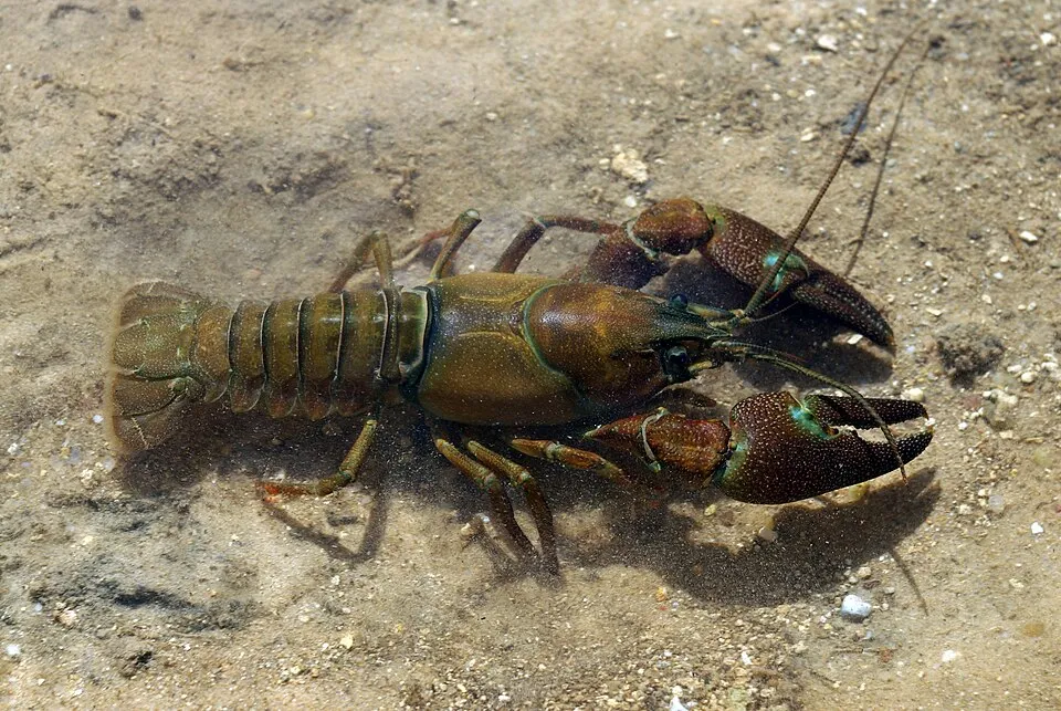 Signal crayfishEU
 Silver Wattle
 Pampas grass
 Jimsonweed
 Black locust
 Guernsey fleabane
Photos: Pumpkinseed © Cephas · CC BY-SA 3.0; Tree-of-heaven © Darkone · CC BY-SA 2.5; Signal crayfish © David Perez · CC BY 3.0; Silver Wattle © Donald Hobern from Copenhagen, Denmark · CC BY 2.0; Pampas grass © Solipsist · CC BY-SA 2.0; Jimsonweed © Giuseppe Frizzi · Public domain; Black locust © This Photo was taken by Wolfgang Moroder. Feel free to use my photos, but please mention me as the author and send me a message. This image is not in the public domain. Please respect the copyright protection. It may only be used according… · CC BY-SA 3.0; Guernsey fleabane © Harry Rose from South West Rocks, Australia · CC BY 2.0
Sources: Global Forest Change (Hansen et al., University of Maryland, via Global Forest Watch, CC-BY 4.0); EFFIS, European Commission / Copernicus; NASA Black Marble 2016 (public domain); CORINE Land Cover 2018 (Copernicus) or MODIS.
CORINE Land Cover Change 1990–2018: generated using European Union's Copernicus Land Monitoring Service information (EEA), aggregated by Parkavela; DOI 10.2909/f30f1000-7cf8-43bb-872c-5eb093911b24.
Ecological status of water bodies: European Environment Agency, WISE – Water Framework Directive, 3rd river basin management plans (2022), CC BY 4.0. Official national classification, not comparable between countries.
Invasive alien species: Global Register of Introduced and Invasive Species (ISSG, CC BY 4.0); Union list, Regulation (EU) 1143/2014 (INBO, CC0); GBIF.org records (CC0 / CC BY 4.0), at least 2 per species.
9 waymarked routes listed, including:
Data © OpenStreetMap contributors (ODbL) · Wikidata (CC0)
27.2 km within the site ↗ 187 m↘ 213 m 595–791 m
10.3 km within the site ↗ 220 m↘ 226 m 528–658 m
Tracks © OpenStreetMap contributors (ODbL), clipped to the boundary; elevation gain and profiles computed on the longest section from Mapzen Terrain Tiles (≈ 30 m), indicative only.
1 monitored bathing site in or within 1 km of the site · 2025 classification
Source: European Environment Agency, official bathing water classification (Directive 2006/7/EC, CC-BY 4.0). Swimming is only permitted at the sites and times authorised locally.
The nearest railway station is Linarejos-Pedroso, about 5 km from the site boundary. Nearest towns of over 50,000 people, as the crow flies: Ourense (69 km) and Zamora (73 km). Nearest airport: Francisco de Sá Carneiro (OPO), about 141 km away. About 63,000 people live within 20 km of the site boundary, 37,000 of them within 10 km; some 5,100 people are estimated to live inside (GHSL estimate, 2020). This population has fallen by about 15% since 2000. Visitor information on site: Centro de interpretacão da Lorga de Dine and Posto de Turismo. Waymarked hiking routes listed in OpenStreetMap: 9, including Camino Portugués de la vía de la Plata. To see: cave Gruta de Dine. To plan a visit (access, opening periods, visitor rules), it is best to consult the official information from the managing body and the official website listed in this page's sources.
Source: OpenStreetMap (ODbL), Wikidata (CC0), October 2026.
According to Wikidata, 9 monuments classified as Portuguese cultural heritage (national monuments and properties of public interest) stand within the boundary, 1 of them a national monument. Among them are 4 religious buildings, 2 prehistoric and archaeological sites and 1 castle or fortification. Nationally designated items include “Castro de Sacóias” in Baçal.
and 1 more
Source: Wikidata (CC0), monuments in each country’s official heritage protection registers, at national or regional level. Each item links to its Wikidata entry.
Best time to visit: from April to September, with average temperatures of 10 to 21 °C and moderate rainfall. Precipitation peaks in October (up to 150 mm per month). Day length ranges from about 9 h 08 min in December to 15 h 12 min in June. Wildlife records published on GBIF peak for birds (May and June), plants (June), butterflies and moths (June), dragonflies (August) and mammals (September). These peaks also reflect when observers are most active.
Source: Copernicus ERA5-Land (C3S), monthly averages 1996–2025 at the representative point, temperatures adjusted for elevation.
Contains modified Copernicus Climate Change Service information 2026. Neither the European Commission nor ECMWF is responsible for any use that may be made of the Copernicus information or data it contains.
Monthly records published on GBIF (CC-BY), relative to the busiest month; also reflects observer activity.
Data © OpenStreetMap contributors (ODbL), Wikidata (CC0) and the sources cited.