
Portugal · Terrestrial
International Douro Natural Park
Nature park of 87,011 hectares in Portugal, established in 1998.
Overview
Nature park of 87,011 hectares in Portugal, established in 1998.
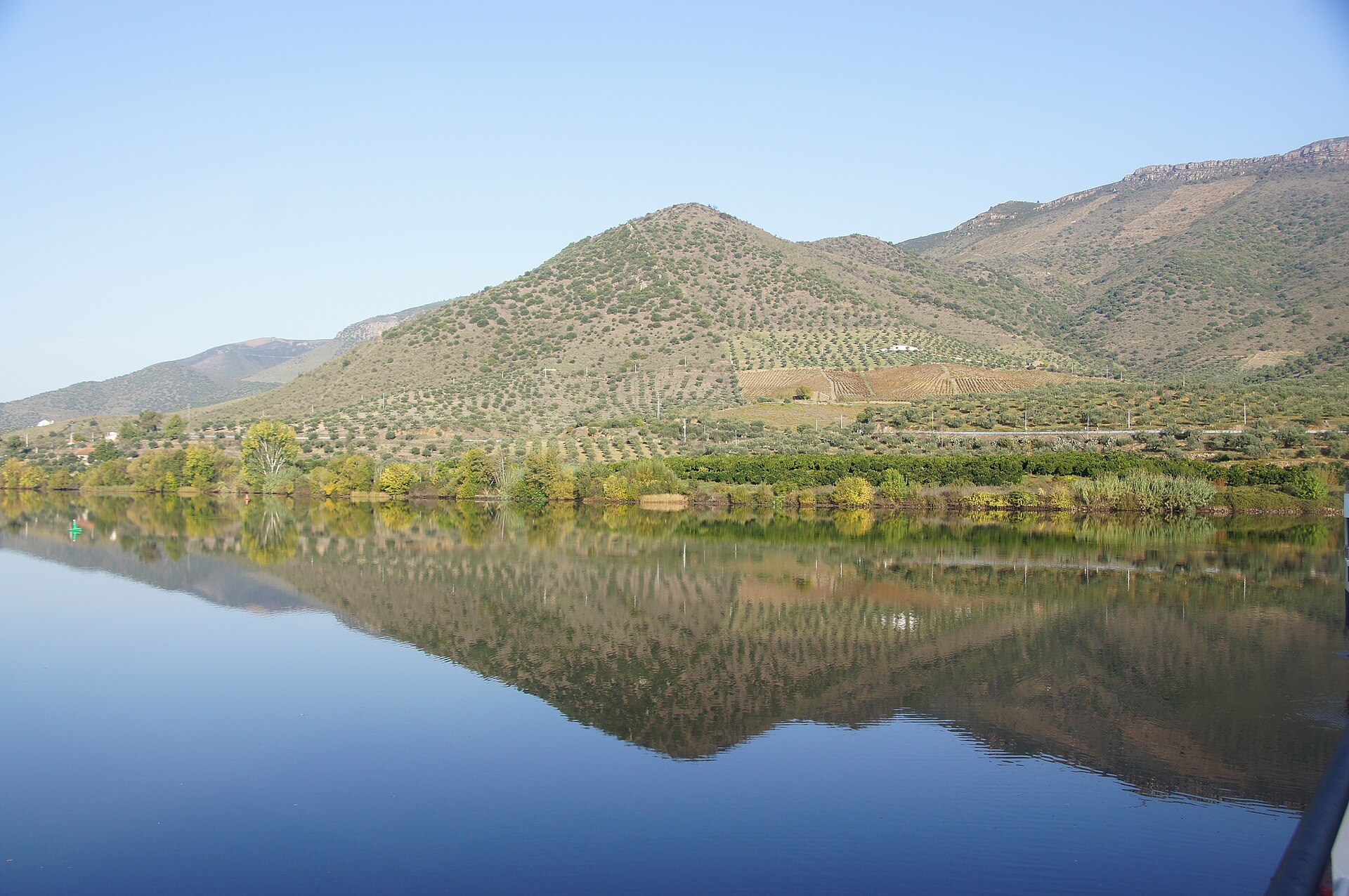
International Douro Natural Park is a nature park in Portugal (Europe). It is a predominantly terrestrial area. Established in 1998, it covers about 87,011 hectares.
Protections and designations
Natura 2000 · habitats (SAC)
- Douro Internacional PTCON0022
Natura 2000 · birds (SPA)
- Douro Internacional e Vale do Águeda PTZPE0038
Protected as a nature park. International labels and designations: Natura 2000 network (2 sites). Key dates: established in 1998, first Natura 2000 site under the Birds Directive in 1999 and first Natura 2000 site under the Habitats Directive in 2008.
In our collections
Timeline
-
1998
Established
-
1999
First Natura 2000 site under the Birds Directive
-
2008
First Natura 2000 site under the Habitats Directive
Sources: Wikidata (CC0) for establishment and international labels; EEA Natura 2000 database (CC-BY 4.0) for site designation dates.
Frequently asked questions
Where is International Douro Natural Park?
In Portugal (Europe). Representative point: 41.2052° N, 6.7346° W.
How large is International Douro Natural Park?
About 87,011 hectares (870 km²). It is the 3rd largest of the 15 nature parks in Portugal covered by Parkavela.
When was International Douro Natural Park established?
In 1998.
What habitats and landscapes does International Douro Natural Park include?
A terrestrial area, where land cover is dominated by farmland (55%).
What rocks lie beneath International Douro Natural Park?
According to the European 1:1 million geological map (EGDI), the bedrock consists mainly of quartzites (42% of sampled points), phyllites and slates (33%) and granites (17%). These are mostly metamorphic rocks. The geological units date mainly from the Ordovician (42% of sampled points).
What is the highest point of International Douro Natural Park?
Lagoaça, at 884 m (OpenStreetMap).
What are the main summits of International Douro Natural Park?
Lagoaça (884 m), Gajope (848 m), Santa Bárbara (812 m), Santíssima Trindade (789 m) and Santa Marta (765 m) (OpenStreetMap).
Which international labels apply to International Douro Natural Park?
Natura 2000 network (2 sites).
When is the best time to visit International Douro Natural Park?
Best time to visit: from April to September, with average temperatures of 11 to 23 °C and moderate rainfall.
Are there historic monuments in International Douro Natural Park?
Yes. According to Wikidata, 30 monuments classified as Portuguese cultural heritage (national monuments and properties of public interest) stand within the boundary, 8 of them national monuments. For example: “Cruz de Pedro Jacques” in Mata de Lobos, “Castle of Freixo de Espada-à-Cinta” in Freixo de Espada à Cinta e Mazouco and “Ponte sobre o rio Aguiar” in Castelo Rodrigo.
Can you swim in International Douro Natural Park?
One monitored bathing site lies in or within 1 km of the site; official 2025 classification: 1 excellent (European Environment Agency). Swimming is only permitted at the sites and times authorised locally.
What is the nearest large city to International Douro Natural Park?
Nearest towns of over 50,000 people, as the crow flies: Zamora (37 km) and Salamanca (72 km). Nearest airport: Francisco de Sá Carneiro (OPO), about 143 km away.
How can I reach International Douro Natural Park by train?
The nearest railway station is Pocinho, about 15 km from the site boundary.
Where can I get visitor information on site?
Casa de la Lhengua Mirandesa, Centro de Interpretação Turístico-Ambiental and Puosto de Turismo.
Are there waymarked hiking trails in International Douro Natural Park?
Yes. Waymarked hiking routes listed in OpenStreetMap: 18, including GR 22 (565 km) and GR 36. The GR36 - Grande Rota do Douro Internacional route runs for about 154 km through the site, with some 990 m of ascent on its longest section.
Which species can be seen in International Douro Natural Park?
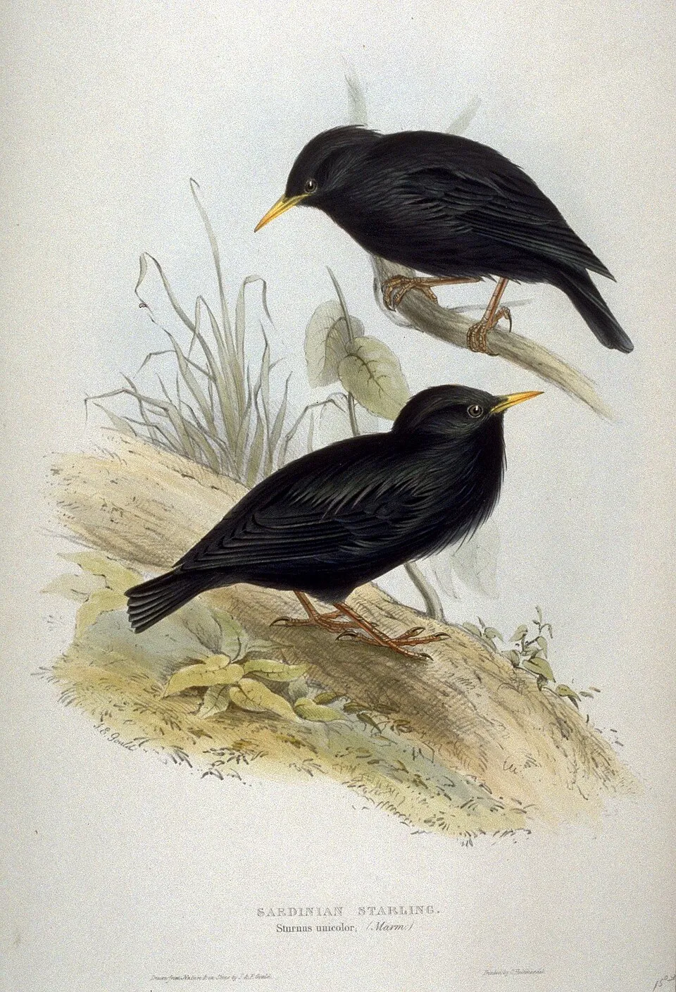
Among the species most often recorded on GBIF are Turdus merula (Common Blackbird), Gyps fulvus (Griffon Vulture), Fringilla coelebs (Eurasian Chaffinch) and Sturnus unicolor (Spotless Starling).
What is the official website of International Douro Natural Park?
© OpenStreetMap
Download the boundary: GeoJSON · GPX Boundary © OpenStreetMap contributors (ODbL).
Geography
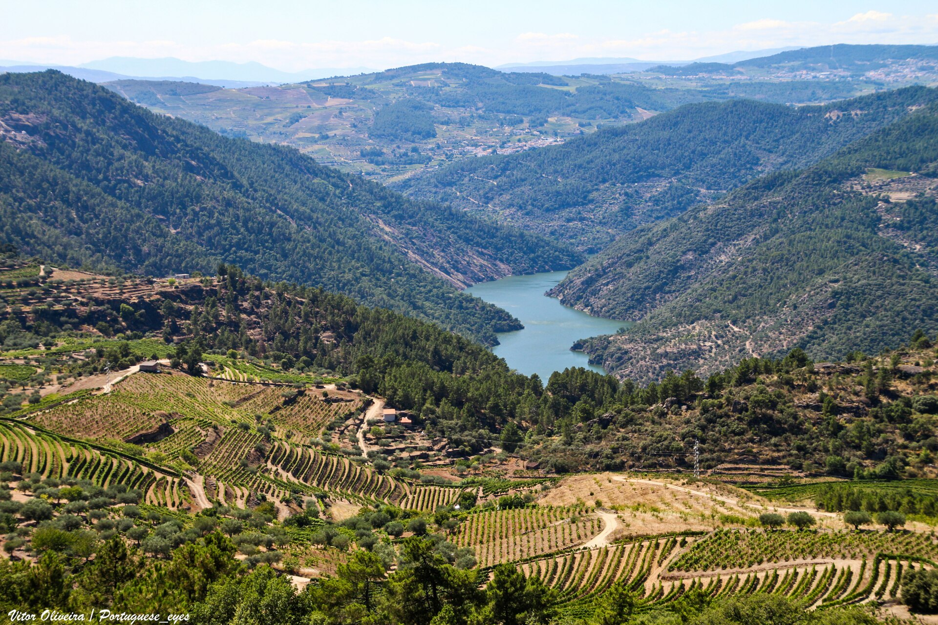
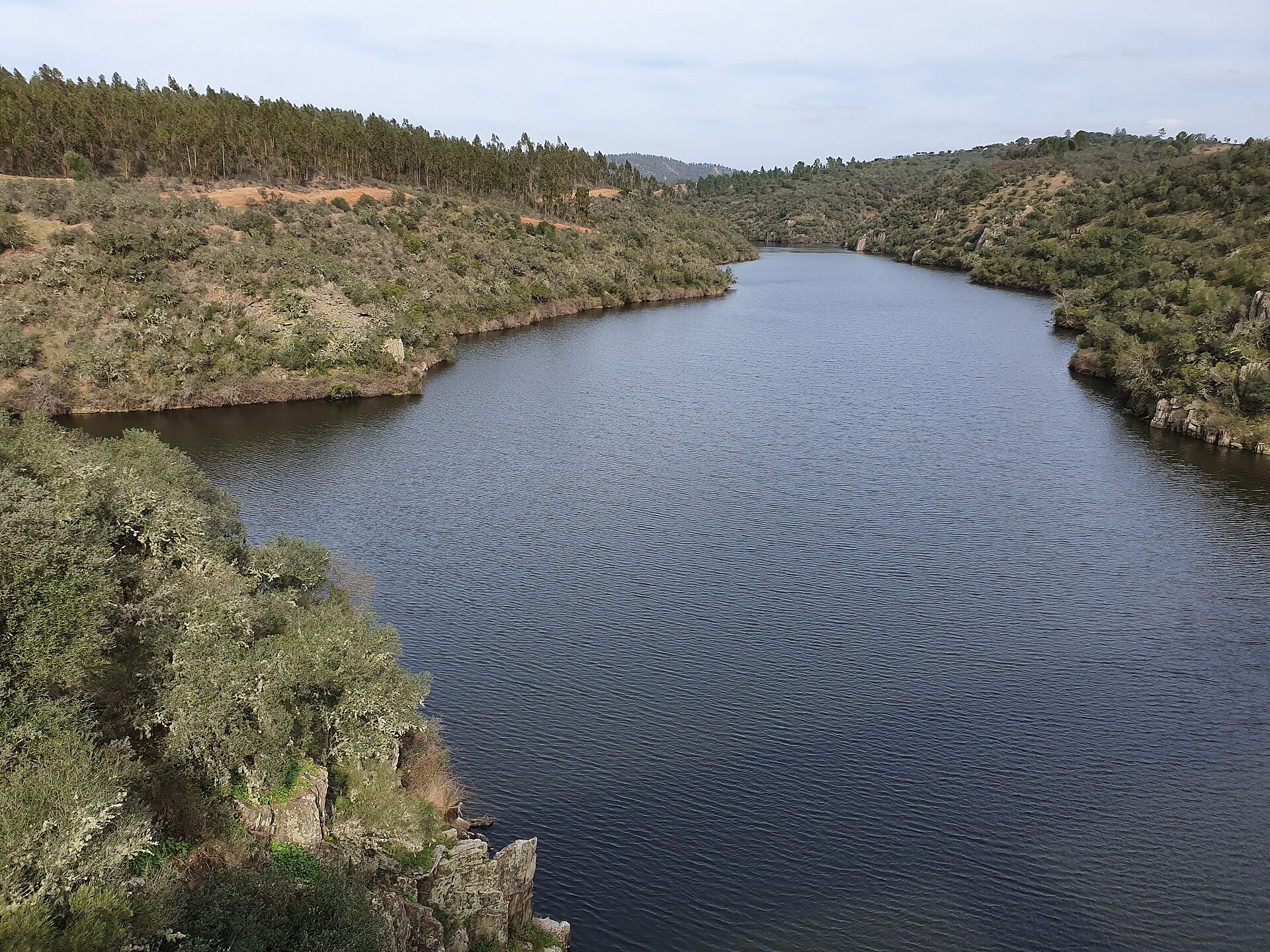
The representative point of the site lies at around 668 m above sea level. Over the 1996–2025 period, the mean annual temperature is about 13.0 °C and total precipitation reaches roughly 634 mm per year. The warmest month is usually August, the coolest January, and the wettest October. According to the European 1:1 million geological map (EGDI), the bedrock consists mainly of quartzites (42% of sampled points), phyllites and slates (33%) and granites (17%). These are mostly metamorphic rocks. The geological units date mainly from the Ordovician (42% of sampled points). The site contains 5 lakes larger than 10 ha as well as part of another lake (Albufeira de Picote), totalling 9.3 km² of water; the largest, Albufeira de Saucelhe, covers 5.1 km² (HydroLAKES).
Area
- Area
- 87,011 ha
- Elevation
- 668 m
- Median elevation
- 654 m
- Mean slope
- 8°
- Lakes over 10 ha
- 5 (9.3 km²)
- Coordinates
- 41.2052, -6.7346
Terrain: Mapzen Terrain Tiles (SRTM, USGS) · Lakes: HydroLAKES (Messager et al. 2016, hydrosheds.org, CC BY 4.0) · depths: Wikidata (CC0)
Bedrock
- Quartzites 42 %
- Phyllites and slates 33 %
- Granites 17 %
- Gneiss 8 %
Metamorphic rocks 83 % · Igneous rocks 17 % · Main age: Ordovician (42%)
Source: EGDI 1:1M geological map (EuroGeoSurveys and national geological surveys), CC BY 4.0 · 12 sampled points within the site.
Main summits
- Lagoaça884 m
- Gajope848 m
- Santa Bárbara812 m
- Santíssima Trindade789 m
- Santa Marta765 m
- Calhau Grande764 m
- Mulher760 m
- Durão730 m
- Poiares719 m
- Caldeireira714 m
Data © OpenStreetMap contributors (ODbL)
Climate
● Mean temperature (°C) · ▮ Precipitation (mm)
Source: Copernicus ERA5-Land (C3S, doi:10.24381/cds.68d2bb30), monthly averages 1996–2025 interpolated to the representative point, temperatures adjusted for elevation.
Contains modified Copernicus Climate Change Service information 2026. Neither the European Commission nor ECMWF is responsible for any use that may be made of the Copernicus information or data it contains.
Natural habitats
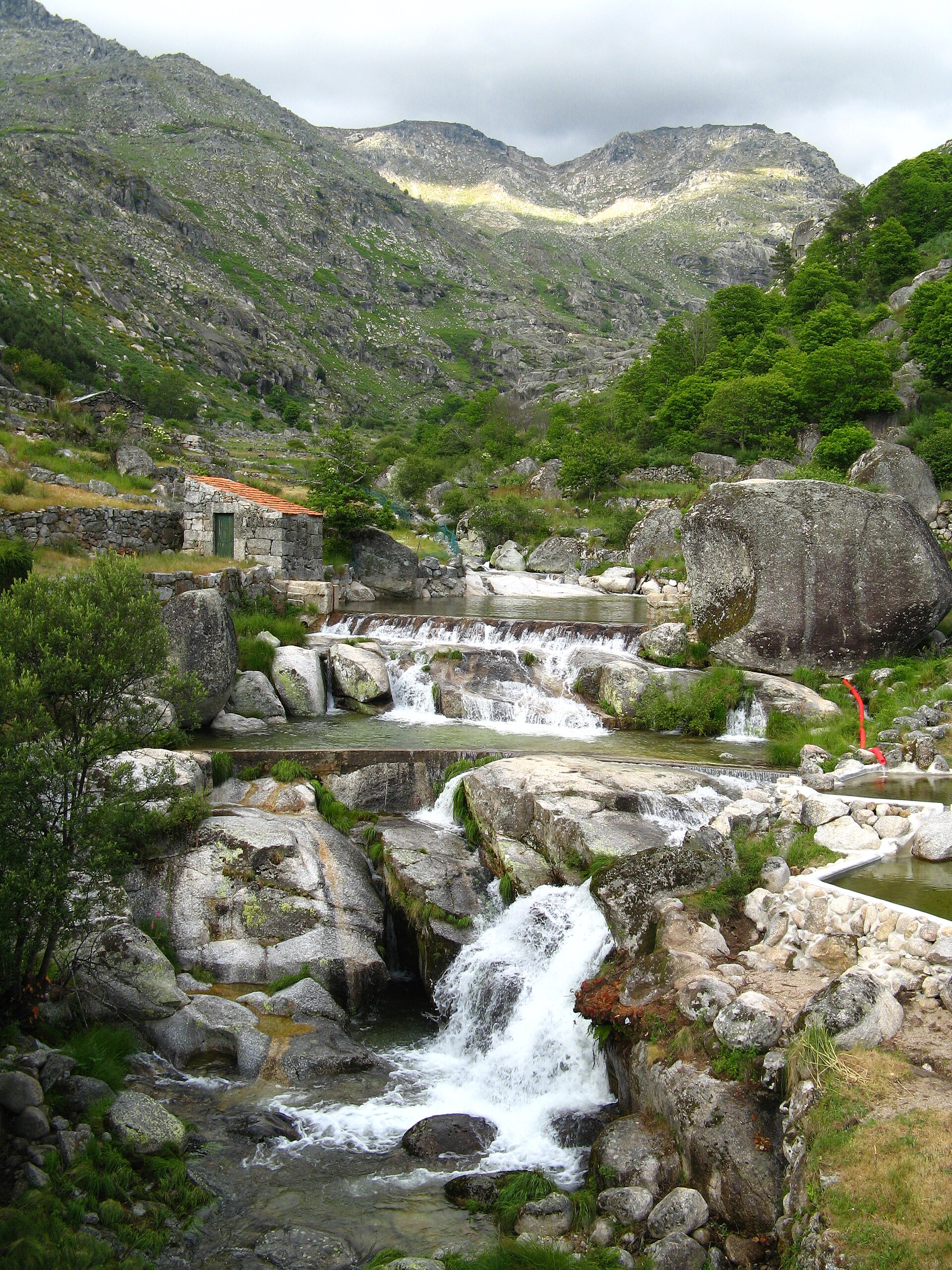
According to CORINE Land Cover (2018), the site is mainly made up of farmland (55%), heath and scrub (27%) and Mediterranean scrub (6%). Elevation ranges from about 260 m to 884 m (highest point: Lagoaça). The 2 Natura 2000 sites overlapping the area list 30 habitats of European interest (4 priority), the most extensive being endemic forests with Juniperus spp, arborescent matorral with Juniperus spp. and Quercus ilex and Quercus rotundifolia forests.
Biodiversity
Based on occurrences aggregated by GBIF, several species are regularly recorded within the site. Among the most frequent are Turdus merula (Common Blackbird), Gyps fulvus (Griffon Vulture), Fringilla coelebs (Eurasian Chaffinch) and Sturnus unicolor (Spotless Starling). The full list of documented taxa is shown below. The overlapping Natura 2000 sites list 115 species of European interest: 59 birds, 22 mammals, 4 reptiles, 8 amphibians, 5 fish, 3 invertebrates and 14 plants.
Habitats of European interest
From the official forms of the 2 Natura 2000 sites overlapping the area (areas reported for each whole site).
- Endemic forests with Juniperus spp. priority 1,228 ha
- Arborescent matorral with Juniperus spp. 494 ha
- Quercus ilex and Quercus rotundifolia forests 444 ha
- Galicio-Portuguese oak woods with Quercus robur and Quercus pyrenaica 227 ha
- Thermophilous Fraxinus angustifolia woods 163 ha
- Salix alba and Populus alba galleries 137 ha
- Quercus suber forests 93 ha
- Oligotrophic waters containing very few minerals generally on sandy soils of the West Mediterranean, with Isoetes spp.
and 22 more
Species of European interest
Birds · 59
Cinereous Vulture (Aegypius monachus) resident breeding, Common Kingfisher (Alcedo atthis) resident, Eurasian Teal (Anas crecca) wintering, Tawny Pipit (Anthus campestris) breeding, Meadow Pipit (Anthus pratensis) wintering, Golden Eagle (Aquila chrysaetos) resident, Bonelli's Eagle (Aquila fasciata) resident, Eurasian Eagle-owl (Bubo bubo) resident, Eurasian Stone-curlew (Burhinus oedicnemus) breeding, Greater Short-toed Lark (Calandrella brachydactyla) breeding, European Nightjar (Caprimulgus europaeus) breeding, Red-necked Nightjar (Caprimulgus ruficollis) breeding and 47 more
Mammals · 22
Grey wolf (Canis lupus), Serotine bat (Eptesicus serotinus), European wildcat (Felis silvestris), Common genet (Genetta genetta), Egyptian mongoose (Herpestes ichneumon), Eurasian otter (Lutra lutra), Cabrera's vole (Microtus cabrerae), Common bent-wing bat (Miniopterus schreibersii), Western Polecat (Mustela putorius), Lesser mouse-eared myotis (Myotis blythii), Daubenton's bat (Myotis daubentonii), Geoffroy's bat (Myotis emarginatus) and 10 more
Reptiles · 4
Bedriaga's skink (Chalcides bedriagai), European Pond Turtle (Emys orbicularis), Horseshoe Whip Snake (Hemorrhois hippocrepis), Iberian pond turtle (Mauremys leprosa)
Amphibians · 8
Iberian midwife toad (Alytes cisternasii), Midwife toad (Alytes obstetricans), Iberian painted frog (Discoglossus galganoi), Natterjack toad (Epidalea calamita), European Treefrog (Hyla molleri), Western Spadefoot (Pelobates cultripes), Perez's Frog (Pelophylax perezi), Marbled newt (Triturus marmoratus)
Fish · 5
Bermejuela (Achondrostoma arcasii), Lamprehuela (Cobitis paludica), Luciobarbus bocagei, Northern straight-mouth nase (Pseudochondrostoma duriense), Squalius alburnoides
Invertebrates · 3
Southern damselfly (Coenagrion mercuriale), Marsh fritillary (Euphydryas aurinia), Willowherb Hawkmoth (Proserpinus proserpina)
Plants · 14
Anthyllis vulneraria subsp. lusitanica, Antirrhinum lopesianum, Dianthus laricifolius subsp. marizii, Dorycnium pentaphyllum subsp. transmontanum, Festuca duriotagana, Festuca elegans, Holcus setiglumis subsp. duriensis, Iris lusitanica, Linaria coutinhoi, Petticoat daffodil (Narcissus bulbocodium), Angel's-tears (Narcissus triandrus), Butcher's-broom (Ruscus aculeatus) and 2 more
Source: Natura 2000 standard data forms (EEA, CC-BY 4.0). Not exhaustive: sensitive species are not published.
Species to look out for




Observed species
Occurrences documented via GBIF; they are neither an exhaustive inventory nor proof of current presence.
- Common Blackbird · Turdus merula · 4169
- Griffon Vulture · Gyps fulvus · 3808
- Eurasian Chaffinch · Fringilla coelebs · 3132
- Spotless Starling · Sturnus unicolor · 3009
- European Serin · Serinus serinus · 2956
- House Sparrow · Passer domesticus · 2869
- Great tit · Parus major · 2776
- Corn Bunting · Emberiza calandra · 2728
- Common House Martin · Delichon urbicum · 2652
- Common Nightingale · Luscinia megarhynchos · 2506
- Common Wood Pigeon · Columba palumbus · 2460
- Sardinian Warbler · Curruca melanocephala · 2420
+18 more species
- European Goldfinch · Carduelis carduelis · 2317
- Common Linnet · Linaria cannabina · 2216
- Woodlark · Lullula arborea · 2210
- Eurasian Golden Oriole · Oriolus oriolus · 2189
- Olive · Olea europaea · 2147
- European Greenfinch · Chloris chloris · 2117
- Eurasian Crag Martin · Ptyonoprogne rupestris · 2075
- Eurasian blue tit · Cyanistes caeruleus · 2063
- Iberian Magpie · Cyanopica cooki · 2031
- Eurasian Blackcap · Sylvia atricapilla · 2010
- Common Cuckoo · Cuculus canorus · 1960
- Black Redstart · Phoenicurus ochruros · 1861
- Barn Swallow · Hirundo rustica · 1805
- European robin · Erithacus rubecula · 1778
- White Wagtail · Motacilla alba · 1743
- Egyptian Vulture · Neophron percnopterus · 1702
- Rock Dove · Columba livia · 1681
- Eurasian Wren · Troglodytes troglodytes · 1679
Records: GBIF.org (CC-BY). Names: Wikidata (CC0), GBIF. Photos: Wikimedia Commons.
Conservation challenges
The primary purpose of the site is to preserve its natural habitats and the biodiversity they support. The species recorded (Biodiversity tab) reflect its ecological value. The designations it holds frame its management and the control of land use.
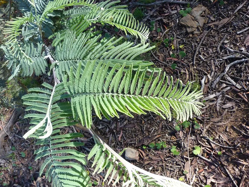
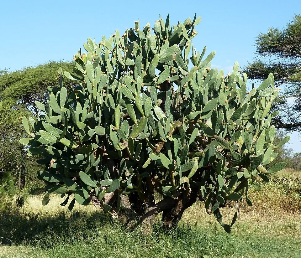
According to Global Forest Change data (University of Maryland, Global Forest Watch), about 4,020 ha of tree cover were lost within the boundary between 2001 and 2023 (5% of its area), peaking in 2015 and 2017. These losses include logging, storms and fires, and do not account for regrowth. According to the European CORINE Land Cover inventory (Copernicus), land cover changed on about 4,480 ha of the site between 1990 and 2018 (5% of its area): open natural land shrank by 3,425 ha, mostly giving way to forest, while forest grew by 1,954 ha, mostly at the expense of open natural land. Forest felling and regrowth add about 8,510 ha in total over the period. Since 2016, the European EFFIS system (Copernicus) has mapped 34 fires here, burning about 24,515 ha within the boundary; the largest, in August 2025 (near Carviçais), covered 5,456 ha. At night, 8% of the area gives off artificial light detectable from space (NASA VIIRS Black Marble composite, 2016). According to the Natura 2000 forms, of 19 assessed habitats of European interest, 6 are in excellent condition and 3 in average or reduced condition. According to the Water Framework Directive assessment (2022 river basin management plans, data 2014–2019), only 44% of the 166 km of rivers assessed within the site are in good or high ecological status; the others mostly have moderate ecological status. Other assessed water bodies: lakes, 0 of 7 in good ecological status or better. Since 2000, 11 invasive alien species have been recorded within the site (GBIF observations), one of them listed as of Union concern under EU Regulation 1143/2014. Among them: Ailanthus altissima (Tree-of-heaven), Acacia dealbata (Silver Wattle) and Opuntia ficus-indica (Tuna Cactus).
Pressure indicators
Tree cover lost
4,019 ha
2001–2023 · 5% of the area
20012023
Fires since 2016
24,515 ha
burned within the boundary (34 mapped fires)
- 2025 · Carviçais · 5,456 ha
- 2016 · Lagoaça e Fornos · 5,295 ha
- 2017 · Ligares · 4,484 ha
Light at night
8%
of the area gives off artificial light visible from space
DarkLit
Built-up land
< 1%
buildings, business areas, roads, quarries · farmland 55%
Land cover change
4,480 ha
changed cover, 1990–2018 · CORINE · 5% of the area
- −3,425 ha · open natural land
- +1,954 ha · forest
forest felling and regrowth: 8,510 ha in total
Rivers and lakes
44%
of the 166 km of assessed rivers in good or high ecological status · WFD 2022
Lakes: 0 of 7 good or better
assessments 2014–2019
Invasive alien species
11
incl. 1 of EU concern · since 2000
 Tree-of-heavenEU
 Silver Wattle
 Tuna Cactus
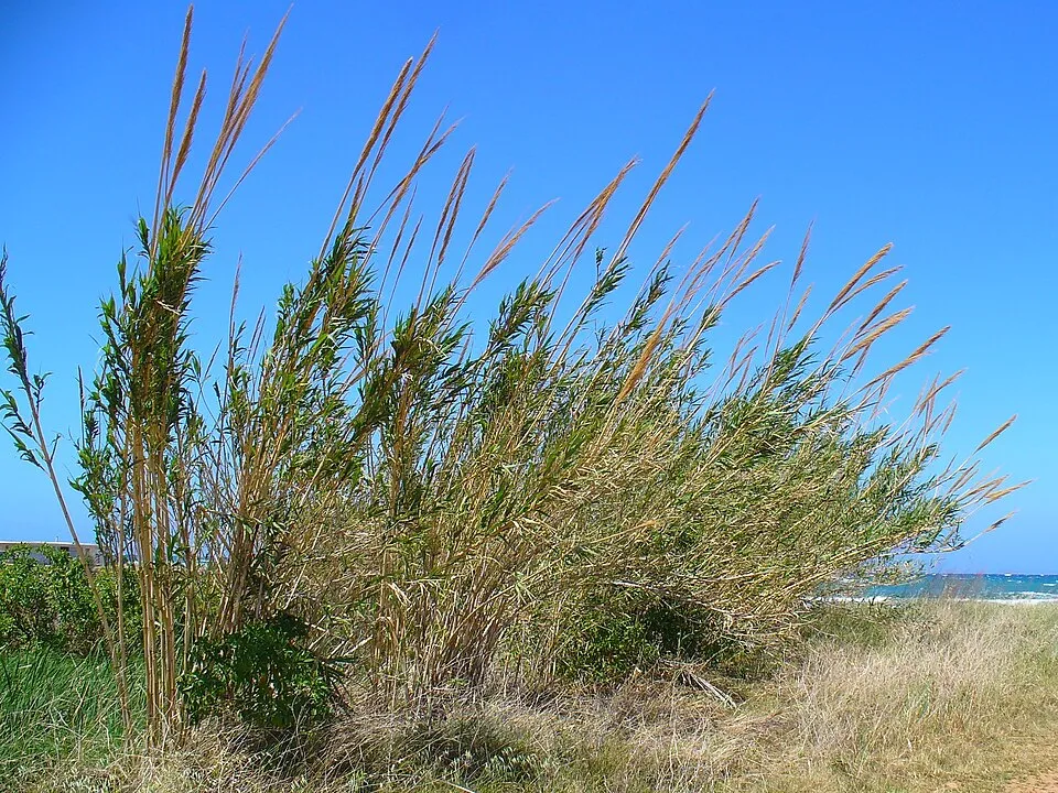 Giant Reed
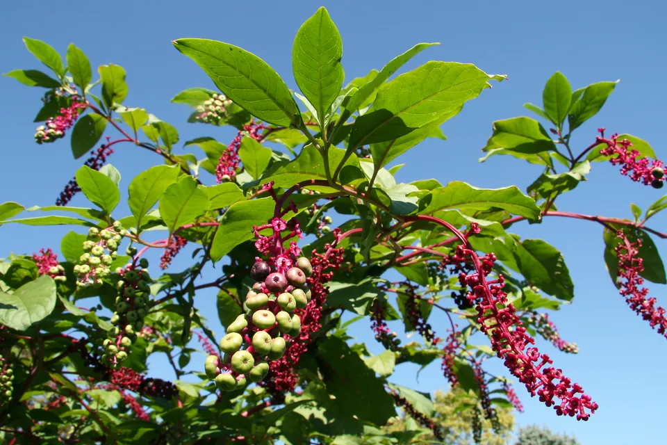 American pokeweed
 Black locust
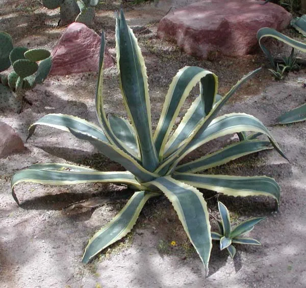 American century plant
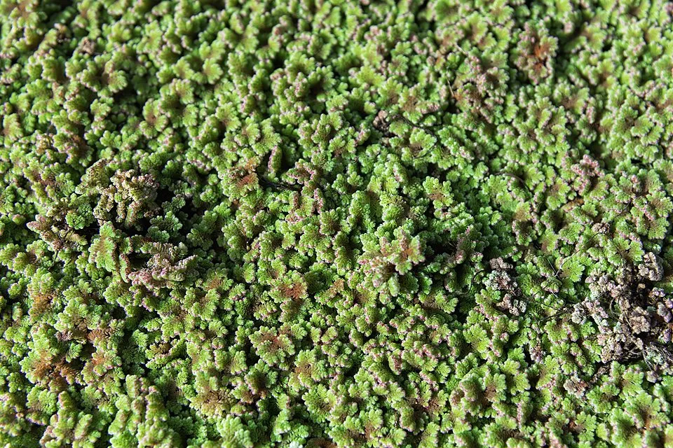 Water fern
Photos: Tree-of-heaven © Darkone · CC BY-SA 2.5; Silver Wattle © Donald Hobern from Copenhagen, Denmark · CC BY 2.0; Tuna Cactus © JMK · CC BY-SA 3.0; Giant Reed © H. Zell · CC BY-SA 3.0; American pokeweed © Huw Williams (Huwmanbeing) · Public domain; Black locust © This Photo was taken by Wolfgang Moroder. Feel free to use my photos, but please mention me as the author and send me a message. This image is not in the public domain. Please respect the copyright protection. It may only be used according… · CC BY-SA 3.0; American century plant © Stan Shebs · CC BY-SA 3.0; Water fern © Didier Descouens · CC BY-SA 4.0
Sources: Global Forest Change (Hansen et al., University of Maryland, via Global Forest Watch, CC-BY 4.0); EFFIS, European Commission / Copernicus; NASA Black Marble 2016 (public domain); CORINE Land Cover 2018 (Copernicus) or MODIS.
CORINE Land Cover Change 1990–2018: generated using European Union's Copernicus Land Monitoring Service information (EEA), aggregated by Parkavela; DOI 10.2909/f30f1000-7cf8-43bb-872c-5eb093911b24.
Ecological status of water bodies: European Environment Agency, WISE – Water Framework Directive, 3rd river basin management plans (2022), CC BY 4.0. Official national classification, not comparable between countries.
Invasive alien species: Global Register of Introduced and Invasive Species (ISSG, CC BY 4.0); Union list, Regulation (EU) 1143/2014 (INBO, CC0); GBIF.org records (CC0 / CC BY 4.0), at least 2 per species.
Practical information
Cities and airport
- Zamora
37 km as the crow flies - Salamanca
72 km as the crow flies - Airport: Francisco de Sá Carneiro (OPO)
143 km as the crow flies
Visitor information
- Casa de la Lhengua Mirandesa
within the site - Centro de Interpretação Turístico-Ambiental
within the site - Puosto de Turismo
within the site - Centro de Recepción de Visitantes Vega de Terrón
< 1 km from the site boundary
Hiking
18 waymarked routes listed, including:
GR 22 (565 km)GR 36
By bike
Ruta Del Duero: Etapa 21: La Fregeneda – Vila Nova de Foz Coa · 6 km
+ 5 local loops
Signed cycle routes: this does not mean that cycling is allowed on footpaths.
Data © OpenStreetMap contributors (ODbL) · Wikidata (CC0)
Routes © OpenStreetMap contributors (ODbL), via Waymarked Trails
Waymarked hiking routes
GR22 Grande Rota das Aldeias Históricas
18.9 km within the site ↗ 94 m↘ 207 m 609–732 m
GR36 GR36 - Grande Rota do Douro Internacional
153.8 km within the site ↗ 994 m↘ 989 m 525–747 m
PR1MDR São João das Arribas
7.4 km within the site ↗ 51 m↘ 95 m 647–734 m
PR1-FCR Almofala - Santo André das Arribas
7.6 km within the site ↗ 262 m↘ 257 m 501–677 m
Tracks © OpenStreetMap contributors (ODbL), clipped to the boundary; elevation gain and profiles computed on the longest section from Mapzen Terrain Tiles (≈ 30 m), indicative only.
Bathing
1 monitored bathing site in or within 1 km of the site · 2025 classification
Excellent · 1
- Congida · lake · Excellent
Source: European Environment Agency, official bathing water classification (Directive 2006/7/EC, CC-BY 4.0). Swimming is only permitted at the sites and times authorised locally.
Access and visiting
The nearest railway station is Pocinho, about 15 km from the site boundary. Nearest towns of over 50,000 people, as the crow flies: Zamora (37 km) and Salamanca (72 km). Nearest airport: Francisco de Sá Carneiro (OPO), about 143 km away. About 61,000 people live within 20 km of the site boundary, 29,000 of them within 10 km; some 11,000 people are estimated to live inside (GHSL estimate, 2020). This population has fallen by about 21% since 2000. Visitor information on site: Casa de la Lhengua Mirandesa, Centro de Interpretação Turístico-Ambiental and Puosto de Turismo. Waymarked hiking routes listed in OpenStreetMap: 18, including GR 22 (565 km) and GR 36. A signed cycle route crosses the site: “Ruta Del Duero: Etapa 21: La Fregeneda – Vila Nova de Foz Coa” (OpenStreetMap). To plan a visit (access, opening periods, visitor rules), it is best to consult the official information from the managing body and the official website listed in this page's sources.
Source: OpenStreetMap (ODbL), Wikidata (CC0), October 2026.
Built heritage
According to Wikidata, 30 monuments classified as Portuguese cultural heritage (national monuments and properties of public interest) stand within the boundary, 8 of them national monuments. Among them are 16 religious buildings, 5 castles and fortifications and 3 prehistoric and archaeological sites. Nationally designated items include “Cruz de Pedro Jacques” in Mata de Lobos, “Castle of Freixo de Espada-à-Cinta” in Freixo de Espada à Cinta e Mazouco and “Ponte sobre o rio Aguiar” in Castelo Rodrigo.
16 religious buildings5 castles and fortifications3 prehistoric and archaeological sites1 bridge, lighthouse, mill or working building1 house or civic building
-
Cruz de Pedro Jacques
National
Mata de Lobos -
Castle of Freixo de Espada-à-Cinta
National
Freixo de Espada à Cinta e Mazouco -
Ponte sobre o rio Aguiar
National
Castelo Rodrigo · 14th c. -
Castro de Aldeia Nova
National
Miranda do Douro -
Igreja de São Miguel de Freixo de Espada à Cinta
National
Freixo de Espada à Cinta e Mazouco -
Pelourinho de Freixo de Espada à Cinta
National
Freixo de Espada à Cinta e Mazouco -
Cathedral of Miranda do Douro
National
Miranda do Douro · 16th c. -
Ruínas de Almofala
National
Almofala e Escarigo
and 22 more
Source: Wikidata (CC0), monuments in each country’s official heritage protection registers, at national or regional level. Each item links to its Wikidata entry.
When to visit
Best time to visit: from April to September, with average temperatures of 11 to 23 °C and moderate rainfall. Day length ranges from about 9 h 13 min in December to 15 h 08 min in June. Wildlife records published on GBIF peak for birds (April and May), plants (May and June), butterflies and moths (June), dragonflies (July) and mammals (July and August). These peaks also reflect when observers are most active.
Source: Copernicus ERA5-Land (C3S), monthly averages 1996–2025 at the representative point, temperatures adjusted for elevation.
Contains modified Copernicus Climate Change Service information 2026. Neither the European Commission nor ECMWF is responsible for any use that may be made of the Copernicus information or data it contains.
Wildlife records calendar
JFMAMJJASOND
Birds
Plants
Butterflies & moths
Dragonflies
Mammals
Monthly records published on GBIF (CC-BY), relative to the busiest month; also reflects observer activity.
Gallery
© Gerry Labrijn from London, UK · CC BY-SA 2.0
© Tres1416 (talk) · CC0-1.0
© Tres1416 · Public domain
© Gerry Labrijn from London, UK · CC BY-SA 2.0
© Gerry Labrijn from London, UK · CC BY-SA 2.0
© Sara Jaques · CC BY-SA 4.0
Sources and licences
- Wikidata: Q5842992
- OpenStreetMap: relation 5674125
- Official website: http://www2.icnf.pt/portal/ap/p-nat/pndi
- Wikipedia: en.wikipedia.org/wiki/Douro_International_Natural_Park
- WDPA: 169019
References
- cds.climate.copernicus.eu: climate · CC-BY-4.0
- registry.opendata.aws: elevation of the reference point, detailed relief · PD
- land.copernicus.eu: land cover, land cover change, sea share · COPERNICUS
- doi.org: population around the site · CC-BY-4.0
- wikidata.org: official area, establishment date, protected heritage, nearby cities and airport, access and peaks, lake depths, places to see, official website · CC0-1.0
- eea.europa.eu: bathing water quality, ecological status of waters · CC-BY-4.0
- en.eurovelo.com: EuroVelo cycle routes · ODbL-1.0
- cycling.waymarkedtrails.org: cycle routes · ODbL-1.0
- opentopodata.org: elevations · PD
- forest-fire.emergency.copernicus.eu: wildfires · COPERNICUS
- globalforestwatch.org: tree cover loss · CC-BY-4.0
- gbif.org: seasonality of sightings, invasive alien species, observed species · CC-BY-4.0
- europe-geology.eu: geology · CC-BY-4.0
- hydrosheds.org: lakes · CC-BY-4.0
- natura2000.eea.europa.eu: Natura 2000 habitats and species · CC-BY-4.0
- openstreetmap.org: official name, access and peaks, trail difficulty · ODbL-1.0
- earthobservatory.nasa.gov: night light · PD
- hiking.waymarkedtrails.org: route difficulty · ODbL-1.0
- nsidc.org: snow cover · PD
- wikidata.org: Wikipedia article · CC-BY-SA-4.0
Data © OpenStreetMap contributors (ODbL), Wikidata (CC0) and the sources cited.