
Portugal · Terrestrial
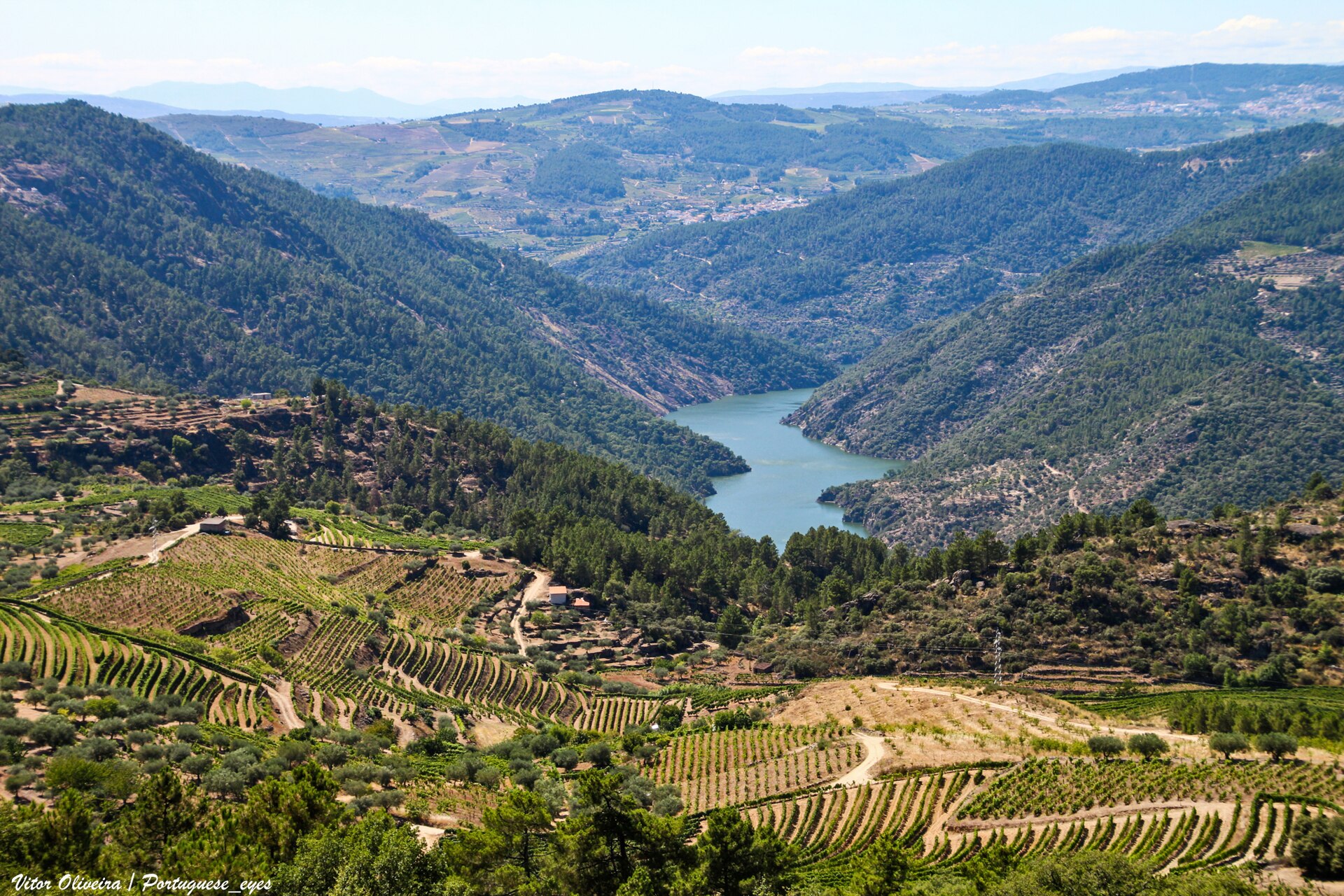
Tua Valley Regional Natural Park
Nature park of 24,769 hectares in Portugal, established in 2013.
Overview
Nature park of 24,769 hectares in Portugal, established in 2013.
Tua Valley Regional Natural Park is a nature park in Portugal (Europe). It is a predominantly terrestrial area. Established in 2013, it covers about 24,769 hectares.
Frequently asked questions
Where is Tua Valley Regional Natural Park?
In Portugal (Europe). Representative point: 41.3320° N, 7.3162° W.
How large is Tua Valley Regional Natural Park?
About 24,769 hectares (248 km²). It is the 10th largest of the 15 nature parks in Portugal covered by Parkavela.
When was Tua Valley Regional Natural Park established?
In 2013.
What habitats and landscapes does Tua Valley Regional Natural Park include?
A terrestrial area, where land cover is dominated by farmland (42%).
What rocks lie beneath Tua Valley Regional Natural Park?
According to the European 1:1 million geological map (EGDI), the bedrock consists mainly of granites (42% of sampled points), quartzites (33%) and phyllites and slates (25%). The geological units date mainly from the Carboniferous (42% of sampled points).
What is the highest point of Tua Valley Regional Natural Park?
Senhora da Cunha, at 826 m (OpenStreetMap).
What are the main summits of Tua Valley Regional Natural Park?
Senhora da Cunha (826 m), Faro (822 m), Cabeço de São Cristóvão (792 m), Assunção (776 m) and Cota (664 m) (OpenStreetMap).
When is the best time to visit Tua Valley Regional Natural Park?
Best time to visit: from April to September, with average temperatures of 12 to 24 °C and moderate rainfall.
Are there historic monuments in Tua Valley Regional Natural Park?
Yes. According to Wikidata, 7 monuments classified as Portuguese cultural heritage (national monuments and properties of public interest) stand within the boundary, 1 of them a national monument. For example: “Ponte Velha sobre o rio Tua” in Mirandela.
Can you swim in Tua Valley Regional Natural Park?
2 monitored bathing sites lie in or within 1 km of the site; official 2025 classification: 1 excellent and 1 good (European Environment Agency). Swimming is only permitted at the sites and times authorised locally.
What is the nearest large city to Tua Valley Regional Natural Park?
Nearest towns of over 50,000 people, as the crow flies: Paços de Ferreira (77 km) and Braga (81 km). Nearest airport: Francisco de Sá Carneiro (OPO), about 102 km away.
How can I reach Tua Valley Regional Natural Park by train?
The nearest railway station is Tua, less than 1 km from the site boundary.
Where can I get visitor information on site?
Castro dos Palheiros, Posto de Turismo and Posto de Turismo de Murça.
Are there waymarked hiking trails in Tua Valley Regional Natural Park?
Yes. Waymarked hiking routes listed in OpenStreetMap: 8. The “PR1 - MUR · Trilho da Sobreira – Casa da Floresta – Porrais” route runs for about 9 km through the site, with some 130 m of ascent on its longest section.
Which species can be seen in Tua Valley Regional Natural Park?
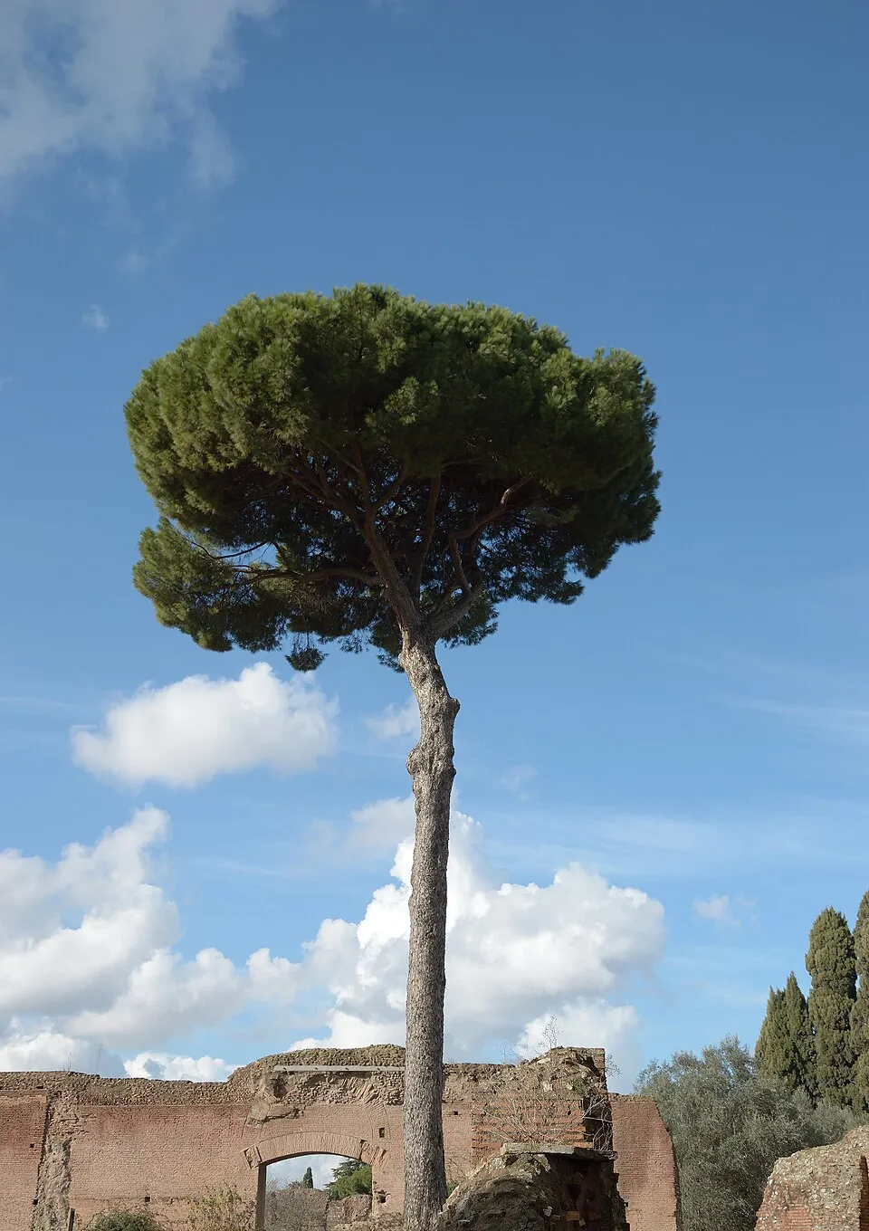
Among the species most often recorded on GBIF are Fringilla coelebs (Eurasian Chaffinch), Pinus pinaster (Maritime pine), Turdus merula (Common Blackbird) and Erithacus rubecula (European robin).
© OpenStreetMap
Download the boundary: GeoJSON · GPX Boundary © OpenStreetMap contributors (ODbL).
Geography
The representative point of the site lies at around 362 m above sea level. Over the 1996–2025 period, the mean annual temperature is about 14.3 °C and total precipitation reaches roughly 679 mm per year. The warmest month is usually August, the coolest January, and the wettest October. According to the European 1:1 million geological map (EGDI), the bedrock consists mainly of granites (42% of sampled points), quartzites (33%) and phyllites and slates (25%). The geological units date mainly from the Carboniferous (42% of sampled points).
Area
- Area
- 24,769 ha
- Elevation
- 362 m
- Median elevation
- 395 m
- Mean slope
- 14°
- Coordinates
- 41.332, -7.3162
Terrain: Mapzen Terrain Tiles (SRTM, USGS)
Bedrock
- Granites 42 %
- Quartzites 33 %
- Phyllites and slates 25 %
Metamorphic rocks 58 % · Igneous rocks 42 % · Main age: Carboniferous (42%)
Source: EGDI 1:1M geological map (EuroGeoSurveys and national geological surveys), CC BY 4.0 · 12 sampled points within the site.
Main summits
- Senhora da Cunha826 m
- Faro822 m
- Cabeço de São Cristóvão792 m
- Assunção776 m
- Cota664 m
- Freixiel618 m
- Serra Branca614 m
- Santa Bárbara581 m
- Fragas de Maria Rita578 m
- Ratiço562 m
Data © OpenStreetMap contributors (ODbL)
Climate
● Mean temperature (°C) · ▮ Precipitation (mm)
Source: Copernicus ERA5-Land (C3S, doi:10.24381/cds.68d2bb30), monthly averages 1996–2025 interpolated to the representative point, temperatures adjusted for elevation.
Contains modified Copernicus Climate Change Service information 2026. Neither the European Commission nor ECMWF is responsible for any use that may be made of the Copernicus information or data it contains.
Natural habitats
According to CORINE Land Cover (2018), the site is mainly made up of farmland (42%), heath and scrub (36%) and forests (13%). Elevation ranges from about 110 m to 826 m (highest point: Senhora da Cunha).
Biodiversity
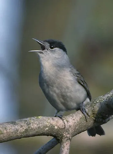
Based on occurrences aggregated by GBIF, several species are regularly recorded within the site. Among the most frequent are Fringilla coelebs (Eurasian Chaffinch), Pinus pinaster (Maritime pine), Turdus merula (Common Blackbird) and Erithacus rubecula (European robin). The full list of documented taxa is shown below.
Species to look out for



Observed species
Occurrences documented via GBIF; they are neither an exhaustive inventory nor proof of current presence.
- Eurasian Chaffinch · Fringilla coelebs · 1933
- Maritime pine · Pinus pinaster · 1908
- Common Blackbird · Turdus merula · 1795
- European robin · Erithacus rubecula · 1528
- European Serin · Serinus serinus · 1292
- Eurasian Blackcap · Sylvia atricapilla · 1226
- Great tit · Parus major · 1212
- Olive · Olea europaea · 1199
- Navelwort · Umbilicus rupestris · 1023
- Cork oak · Quercus suber · 1018
- Big quakinggrass · Briza maxima · 963
- Eurasian Wren · Troglodytes troglodytes · 867
+18 more species
- Tall oat grass · Arrhenatherum album · 836
- Kuhl's pipistrelle · Pipistrellus kuhlii · 835
- Ballota oak · Quercus rotundifolia · 834
- Wild Grape · Vitis vinifera · 829
- European Goldfinch · Carduelis carduelis · 820
- Red fox · Vulpes vulpes · 780
- Elmleaf blackberry · Rubus ulmifolius · 774
- Sardinian warbler · Sylvia melanocephala · 711
- Butcher's-broom · Ruscus aculeatus · 680
- Common pipistrelle · Pipistrellus pipistrellus · 673
- Cock's-foot · Dactylis glomerata · 665
- White Wagtail · Motacilla alba · 659
- Common Wood Pigeon · Columba palumbus · 644
- Foxglove · Digitalis purpurea · 636
- Little-robin · Geranium purpureum · 621
- Eurasian blue tit · Cyanistes caeruleus · 609
- Narrow-leafed Ash · Fraxinus angustifolia · 603
- Spanish lavender · Lavandula pedunculata · 587
Records: GBIF.org (CC-BY). Names: Wikidata (CC0), GBIF. Photos: Wikimedia Commons.
Conservation challenges
The primary purpose of the site is to preserve its natural habitats and the biodiversity they support. The species recorded (Biodiversity tab) reflect its ecological value. Its status as a nature park sets the regulatory framework for its protection.
According to Global Forest Change data (University of Maryland, Global Forest Watch), about 1,510 ha of tree cover were lost within the boundary between 2001 and 2023 (6% of its area), peaking in 2014 and 2016. These losses include logging, storms and fires, and do not account for regrowth. According to the European CORINE Land Cover inventory (Copernicus), land cover changed on about 6,250 ha of the site between 1990 and 2018 (25% of its area): open natural land shrank by 1,411 ha, mostly giving way to forest, while forest grew by 660 ha, mostly at the expense of open natural land. Forest felling and regrowth add about 4,770 ha in total over the period. Since 2016, the European EFFIS system (Copernicus) has mapped 15 fires here, burning about 3,524 ha within the boundary; the largest, in July 2017 (near Carlão e Amieiro), covered 2,005 ha. At night, 12% of the area gives off artificial light detectable from space (NASA VIIRS Black Marble composite, 2016). According to the Water Framework Directive assessment (2022 river basin management plans, data 2014–2019), 88% of the 83 km of rivers assessed within the site are in good or high ecological status. Other assessed water bodies: lakes, 0 of 1 in good ecological status or better. Since 2000, 33 invasive alien species have been recorded within the site (GBIF observations), 5 of them listed as of Union concern under EU Regulation 1143/2014. Among them: Ailanthus altissima (Tree-of-heaven), Lepomis gibbosus (Pumpkinseed) and Gambusia holbrooki (Eastern mosquitofish).
Pressure indicators
Tree cover lost
1,511 ha
2001–2023 · 6% of the area
20012023
Fires since 2016
3,524 ha
burned within the boundary (15 mapped fires)
- 2017 · Carlão e Amieiro · 2,005 ha
- 2025 · Barcel, Marmelos e Valverde da Gestosa · 703 ha
- 2019 · Pópulo e Ribalonga · 229 ha
Light at night
12%
of the area gives off artificial light visible from space
DarkLit
Built-up land
< 1%
buildings, business areas, roads, quarries · farmland 42%
Land cover change
6,250 ha
changed cover, 1990–2018 · CORINE · 25% of the area
- −1,411 ha · open natural land
- +660 ha · forest
forest felling and regrowth: 4,770 ha in total
Rivers and lakes
88%
of the 83 km of assessed rivers in good or high ecological status · WFD 2022
Lakes: 0 of 1 good or better
assessments 2014–2019
Invasive alien species
33
incl. 5 of EU concern · since 2000
 Tree-of-heavenEU
 PumpkinseedEU
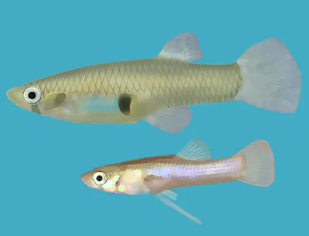 Eastern mosquitofishEU
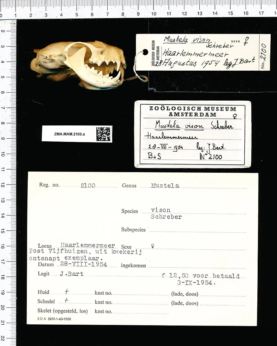 American minkEU
 Red swamp crayfishEU
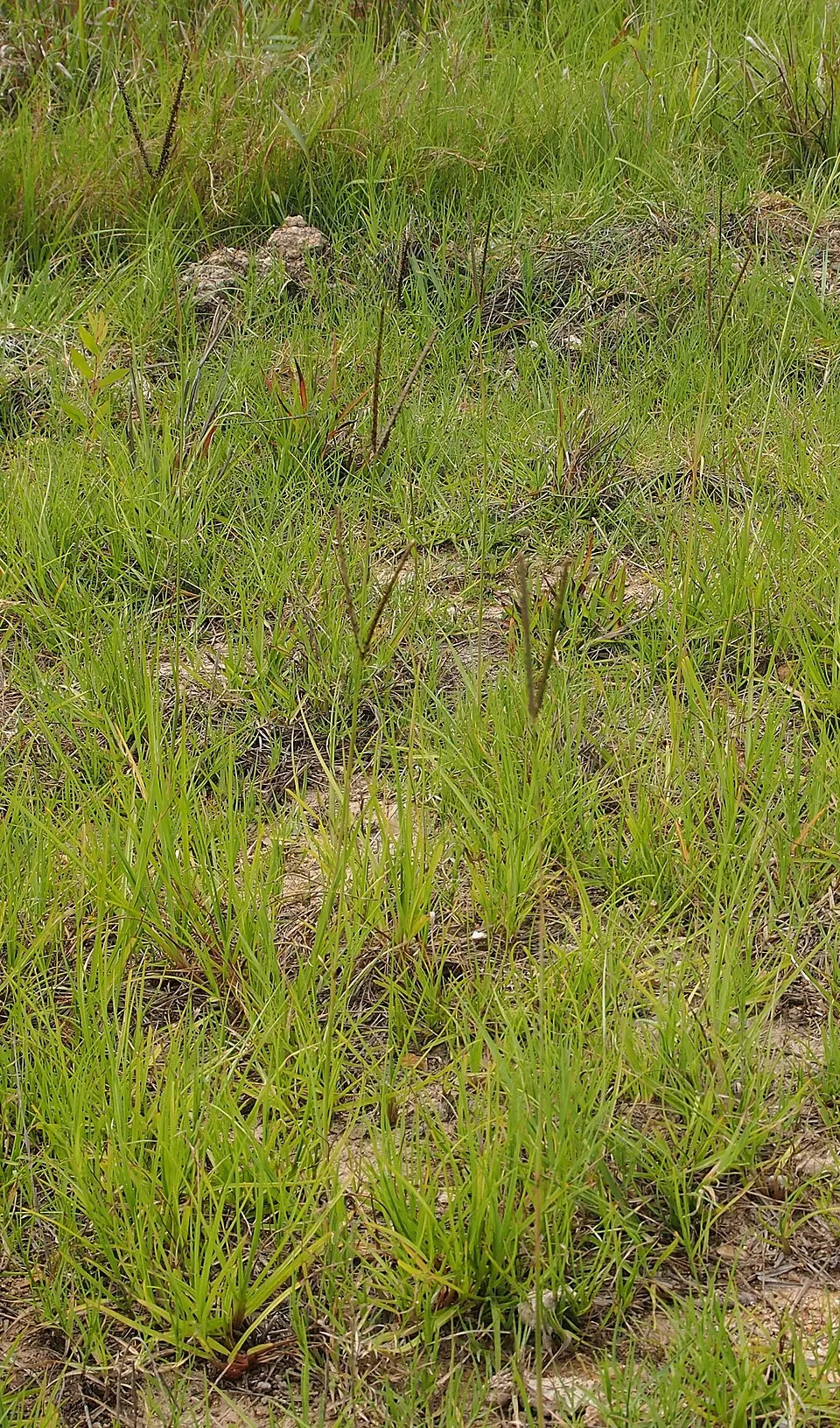 Knotgrass
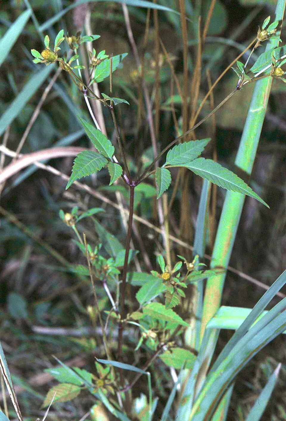 Beggarticks
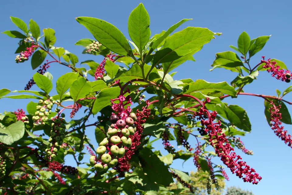 American pokeweed
Photos: Tree-of-heaven © Darkone · CC BY-SA 2.5; Pumpkinseed © Cephas · CC BY-SA 3.0; Eastern mosquitofish © Osado · CC BY-SA 3.0; American mink © Schreber · CC0-1.0; Red swamp crayfish © MikeMurphy · Public domain; Knotgrass © Mark Marathon · CC BY-SA 3.0; Beggarticks © Fornax · CC BY-SA 3.0; American pokeweed © Huw Williams (Huwmanbeing) · Public domain
Sources: Global Forest Change (Hansen et al., University of Maryland, via Global Forest Watch, CC-BY 4.0); EFFIS, European Commission / Copernicus; NASA Black Marble 2016 (public domain); CORINE Land Cover 2018 (Copernicus) or MODIS.
CORINE Land Cover Change 1990–2018: generated using European Union's Copernicus Land Monitoring Service information (EEA), aggregated by Parkavela; DOI 10.2909/f30f1000-7cf8-43bb-872c-5eb093911b24.
Ecological status of water bodies: European Environment Agency, WISE – Water Framework Directive, 3rd river basin management plans (2022), CC BY 4.0. Official national classification, not comparable between countries.
Invasive alien species: Global Register of Introduced and Invasive Species (ISSG, CC BY 4.0); Union list, Regulation (EU) 1143/2014 (INBO, CC0); GBIF.org records (CC0 / CC BY 4.0), at least 2 per species.
Practical information
Cities and airport
- Paços de Ferreira
77 km as the crow flies - Braga
81 km as the crow flies - Airport: Francisco de Sá Carneiro (OPO)
102 km as the crow flies
Visitor information
- Castro dos Palheiros
within the site - Posto de Turismo
< 1 km from the site boundary - Posto de Turismo de Murça
< 1 km from the site boundary
Hiking
8 waymarked routes listed
Data © OpenStreetMap contributors (ODbL) · Wikidata (CC0)
Waymarked hiking routes
PR1 - MUR Trilho da Sobreira – Casa da Floresta – Porrais
9.2 km within the site ↗ 128 m↘ 271 m 171–436 m
PR4 - MDL Trilho do Vale do Tua
7.8 km within the site ↗ 251 m↘ 407 m 178–417 m
Tracks © OpenStreetMap contributors (ODbL), clipped to the boundary; elevation gain and profiles computed on the longest section from Mapzen Terrain Tiles (≈ 30 m), indicative only.
Bathing
2 monitored bathing sites in or within 1 km of the site · 2025 classification
Excellent · 1
Good · 1
- Maravilha · river · Excellent
- Arquiteto Albino Mendo · river · Good
Source: European Environment Agency, official bathing water classification (Directive 2006/7/EC, CC-BY 4.0). Swimming is only permitted at the sites and times authorised locally.
Access and visiting
The nearest railway station is Tua, less than 1 km from the site boundary. Nearest towns of over 50,000 people, as the crow flies: Paços de Ferreira (77 km) and Braga (81 km). Nearest airport: Francisco de Sá Carneiro (OPO), about 102 km away. About 99,000 people live within 20 km of the site boundary, 44,000 of them within 10 km; some 5,200 people are estimated to live inside (GHSL estimate, 2020). This population has fallen by about 21% since 2000. Visitor information on site: Castro dos Palheiros, Posto de Turismo and Posto de Turismo de Murça. Waymarked hiking routes listed in OpenStreetMap: 8. To plan a visit (access, opening periods, visitor rules), it is best to consult the official information from the managing body and the official website listed in this page's sources.
Source: OpenStreetMap (ODbL), Wikidata (CC0), October 2026.
Built heritage
According to Wikidata, 7 monuments classified as Portuguese cultural heritage (national monuments and properties of public interest) stand within the boundary, 1 of them a national monument. Among them are 1 bridge, lighthouse, mill or working building, 1 prehistoric or archaeological site and 1 religious building. Nationally designated items include “Ponte Velha sobre o rio Tua” in Mirandela.
1 bridge, lighthouse, mill or working building1 prehistoric or archaeological site1 religious building
-
Ponte Velha sobre o rio Tua
National
Mirandela · 16th c. -
Igreja da Misericórdia de Mirandela
Mirandela -
Conjunto formado pela estrada romana e ponte sobre o rio Tinhela
Murça -
Antiga Forca de Freixiel
Freixiel -
Pelourinho de Abreiro
Abreiro -
Pillory of Freixiel
Freixiel -
Pillory of São Mamede de Ribatua
São Mamede de Ribatua
Source: Wikidata (CC0), monuments in each country’s official heritage protection registers, at national or regional level. Each item links to its Wikidata entry.
When to visit
Best time to visit: from April to September, with average temperatures of 12 to 24 °C and moderate rainfall. Day length ranges from about 9 h 12 min in December to 15 h 09 min in June. Wildlife records published on GBIF peak for birds (June), plants (May), butterflies and moths (July), dragonflies (August) and mammals (July and August). These peaks also reflect when observers are most active.
Source: Copernicus ERA5-Land (C3S), monthly averages 1996–2025 at the representative point, temperatures adjusted for elevation.
Contains modified Copernicus Climate Change Service information 2026. Neither the European Commission nor ECMWF is responsible for any use that may be made of the Copernicus information or data it contains.
Wildlife records calendar
JFMAMJJASOND
Birds
Plants
Butterflies & moths
Dragonflies
Mammals
Monthly records published on GBIF (CC-BY), relative to the busiest month; also reflects observer activity.
Gallery
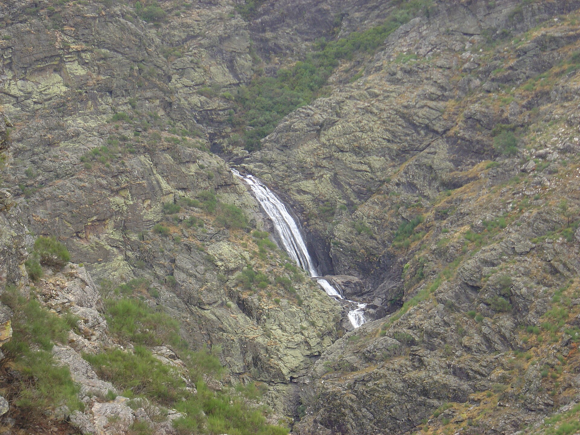
© Vitor Oliveira from Torres Vedras, PORTUGAL · CC BY-SA 2.0
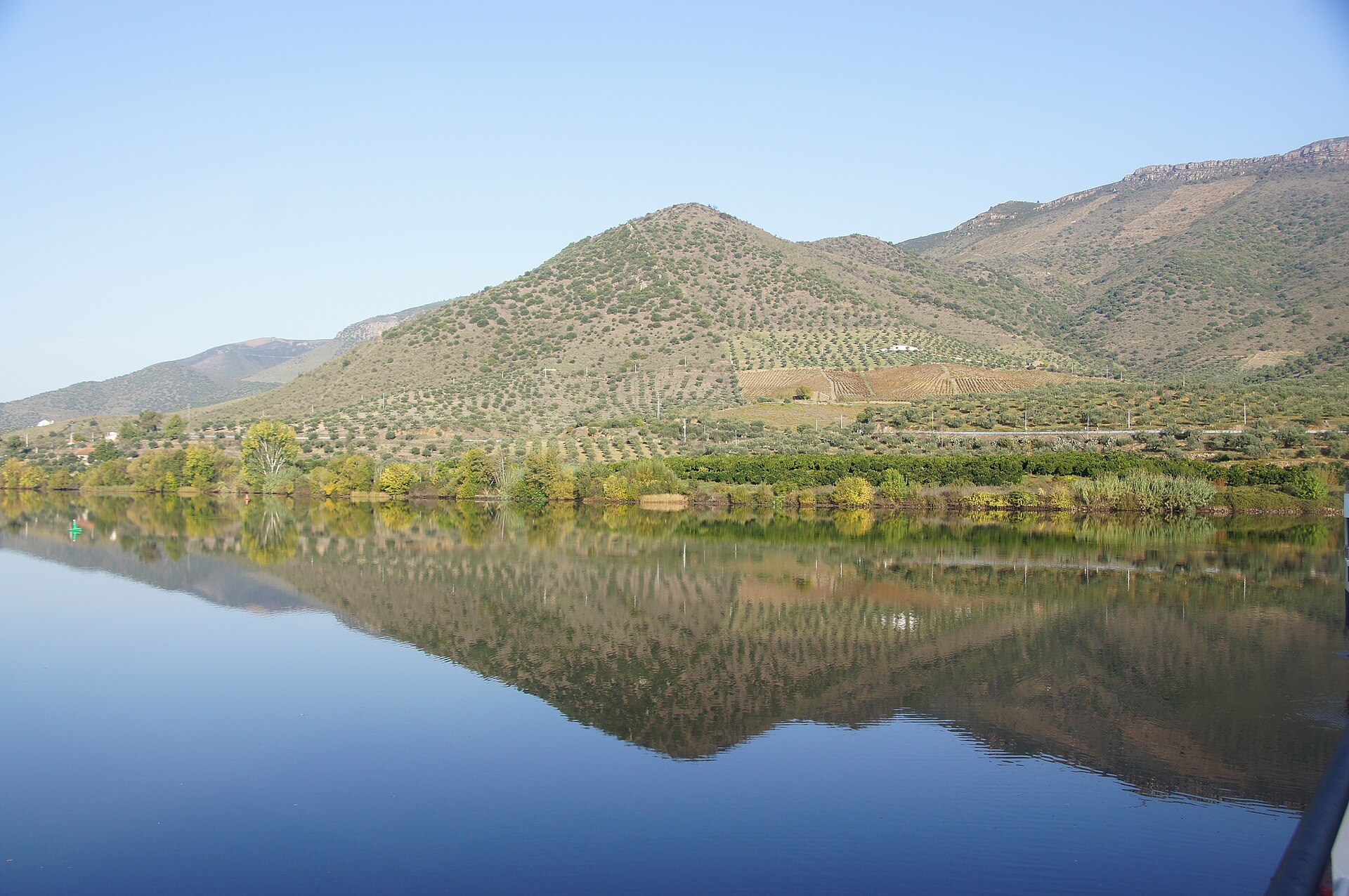
© Rosino · CC BY-SA 2.0
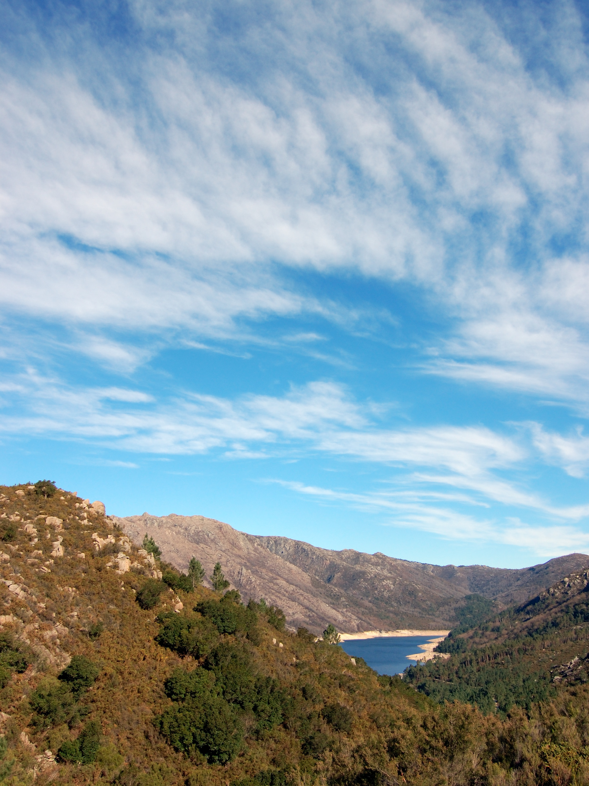
© NelsonCM · CC BY-SA 3.0
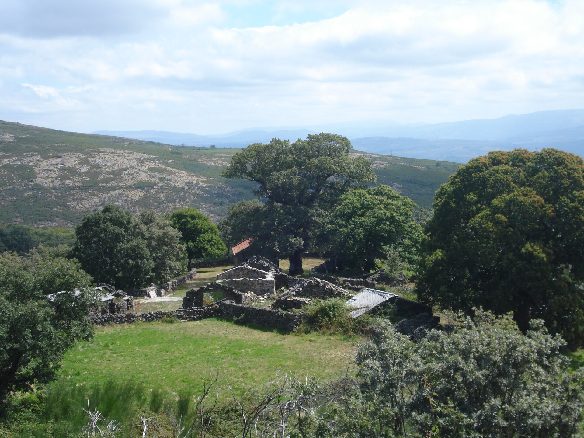
© Pedro from Maia (Porto), Portugal · CC BY 2.0
© NelsonCM · CC0-1.0
© Vitor Oliveira from Torres Vedras, PORTUGAL · CC BY-SA 2.0
© gerasimovvvv / Magnific
© BackyardProduction / Magnific
Sources and licences
- Wikidata: Q63378617
- OpenStreetMap: relation 4108549
- Wikipedia: fr.wikipedia.org/wiki/Parc_naturel_régional_de_la_vallée_du_Tua
- WDPA: 555514084
References
- cds.climate.copernicus.eu: climate · CC-BY-4.0
- registry.opendata.aws: elevation of the reference point, detailed relief · PD
- land.copernicus.eu: land cover, land cover change, sea share · COPERNICUS
- doi.org: population around the site · CC-BY-4.0
- wikidata.org: official area, establishment date, protected heritage, nearby cities and airport, access and peaks, lake depths, places to see · CC0-1.0
- eea.europa.eu: bathing water quality, ecological status of waters · CC-BY-4.0
- en.eurovelo.com: EuroVelo cycle routes · ODbL-1.0
- cycling.waymarkedtrails.org: cycle routes · ODbL-1.0
- opentopodata.org: elevations · PD
- forest-fire.emergency.copernicus.eu: wildfires · COPERNICUS
- globalforestwatch.org: tree cover loss · CC-BY-4.0
- gbif.org: seasonality of sightings, invasive alien species, observed species · CC-BY-4.0
- europe-geology.eu: geology · CC-BY-4.0
- hydrosheds.org: lakes · CC-BY-4.0
- openstreetmap.org: official name, access and peaks · ODbL-1.0
- earthobservatory.nasa.gov: night light · PD
- hiking.waymarkedtrails.org: route difficulty · ODbL-1.0
- nsidc.org: snow cover · PD
- wikidata.org: Wikipedia article · CC-BY-SA-4.0
Data © OpenStreetMap contributors (ODbL), Wikidata (CC0) and the sources cited.