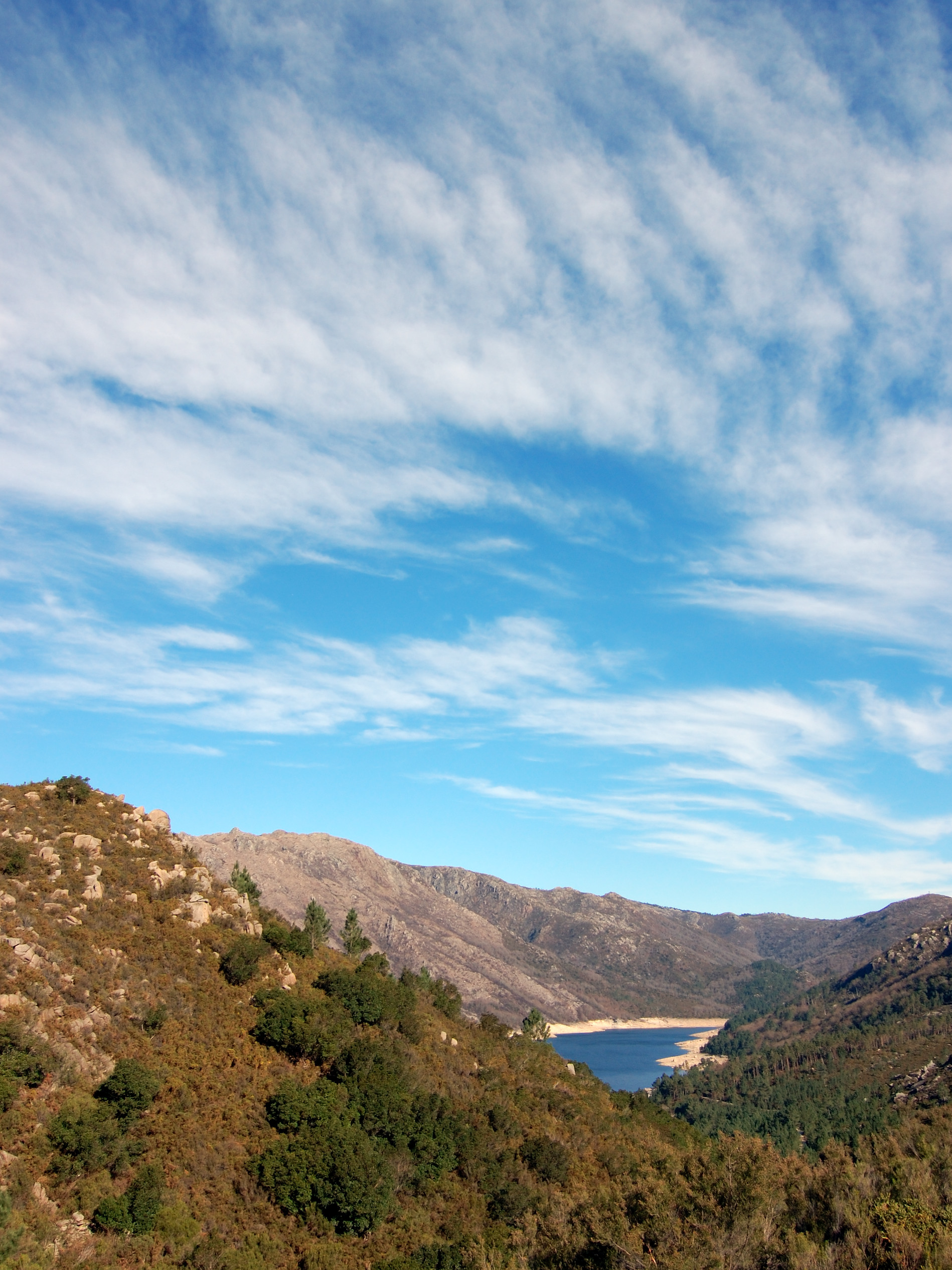
Portugal · Terrestrial
Peneda-Gerês National Park
National park of 69,593 hectares in Portugal, established in 1971.
Overview
National park of 69,593 hectares in Portugal, established in 1971.
Peneda-Gerês National Park is located in Portugal (Europe). It is a predominantly terrestrial area. Established in 1971, it covers about 69,593 hectares.
Protections and designations
UNESCO Biosphere Reserve
Natura 2000 · habitats (SAC)
- Peneda / Gerês PTCON0001
Natura 2000 · birds (SPA)
- Serra do Gerês PTZPE0002
Protected as a national park. International labels and designations: UNESCO Biosphere Reserve (“Gerês-Xurés Transboundary Biosphere Reserve”) and Natura 2000 network (2 sites). Key dates: established in 1971, first Natura 2000 site under the Birds Directive in 1988 and Biosphere Reserve in 2009.
In our collections
Timeline
-
1971
Established
-
1988
First Natura 2000 site under the Birds Directive
-
2009
UNESCO Biosphere Reserve Gerês-Xurés Transboundary Biosphere Reserve
Sources: Wikidata (CC0) for establishment and international labels; EEA Natura 2000 database (CC-BY 4.0) for site designation dates.
Frequently asked questions
Where is Peneda-Gerês National Park?
In Portugal (Europe). Representative point: 41.8500° N, 8.2500° W.
How large is Peneda-Gerês National Park?
About 69,593 hectares (696 km²).
When was Peneda-Gerês National Park established?
In 1971.
What habitats and landscapes does Peneda-Gerês National Park include?
A terrestrial area, with mountains.
What rocks lie beneath Peneda-Gerês National Park?
According to the European 1:1 million geological map (EGDI), the bedrock consists mainly of granites (86% of sampled points) and quartzites (14%). These are mostly igneous rocks. The geological units date mainly from the Carboniferous (57% of sampled points).
What is the highest point of Peneda-Gerês National Park?
Pico da Nevosa, at 1,546 m (OpenStreetMap).
What are the main summits of Peneda-Gerês National Park?
Pico da Nevosa (1,546 m), O Pico do Sobreiro (1,538 m), Carris (1,508 m), Outeiro do Pássaro (1,482 m) and Alto de Cidadelhe (1,466 m) (OpenStreetMap).
Which international labels apply to Peneda-Gerês National Park?
UNESCO Biosphere Reserve (“Gerês-Xurés Transboundary Biosphere Reserve”) and Natura 2000 network (2 sites).
When is the best time to visit Peneda-Gerês National Park?
Best time to visit: from April to September, with average temperatures of 11 to 21 °C and moderate rainfall.
What is there to see in Peneda-Gerês National Park?
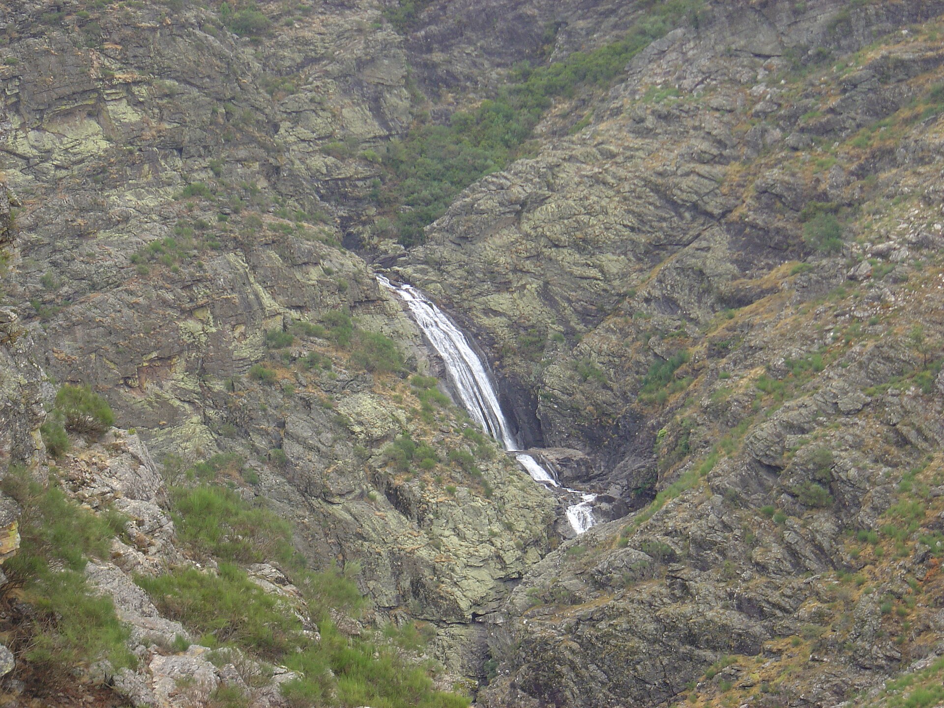
10 waterfalls, including Cascata da Laja, Cascata da Peneda, Cascata da Portela do Homem and Cascata do Arado (Wikidata).
Are there historic monuments in Peneda-Gerês National Park?
Yes. According to Wikidata, 24 monuments classified as Portuguese cultural heritage (national monuments and properties of public interest) stand within the boundary, 9 of them national monuments. For example: “Mosteiro de Santa Maria das Júnias” in Pitões das Junias, “Castle of Castro Laboreiro” in Castro Laboreiro e Lamas de Mouro and “Antas da Serra de Soajo” in Cabana Maior.
Can you swim in Peneda-Gerês National Park?
One monitored bathing site lies in or within 1 km of the site; official 2025 classification: 1 excellent (European Environment Agency). Swimming is only permitted at the sites and times authorised locally.
What is the nearest large city to Peneda-Gerês National Park?
Nearest towns of over 50,000 people, as the crow flies: Braga (24 km) and Ourense (35 km). Nearest airport: Francisco de Sá Carneiro (OPO), about 64 km away.
How can I reach Peneda-Gerês National Park by train?
The nearest railway station is Arbo, about 11 km from the site boundary.
Where can I get visitor information on site?
Casa Florestal de Entre Outeiros, Casa Abrigo de Adrão and Casa Florestal de Beleiral.
Are there waymarked hiking trails in Peneda-Gerês National Park?
Yes. Waymarked hiking routes listed in OpenStreetMap: 60, including GR 50 (185 km), GR 1 (23 km), GR 2 (84 km) and GR 34 (35 km). The GR 50 · Grande Rota Peneda-Gerês route runs for about 155 km through the site, with some 2,030 m of ascent on its longest section.
Which species can be seen in Peneda-Gerês National Park?
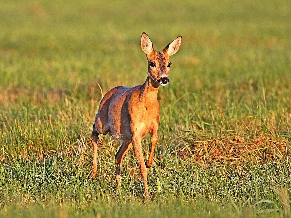
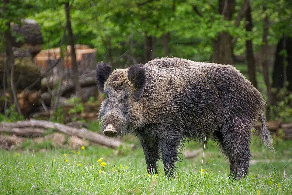
Among the species most often recorded on GBIF are Capreolus capreolus (Roe deer), Sus scrofa (Wild boar), Erithacus rubecula (European robin) and Turdus merula (Common Blackbird).
What is the official website of Peneda-Gerês National Park?
© OpenStreetMap
Download the boundary: GeoJSON · GPX Boundary © OpenStreetMap contributors (ODbL).
Geography
The representative point of the site lies at around 500 m above sea level. Over the 1996–2025 period, the mean annual temperature is about 13.0 °C and total precipitation reaches roughly 1,740 mm per year. The warmest month is usually August, the coolest January, and the wettest October. According to the European 1:1 million geological map (EGDI), the bedrock consists mainly of granites (86% of sampled points) and quartzites (14%). These are mostly igneous rocks. The geological units date mainly from the Carboniferous (57% of sampled points). The site contains 4 lakes larger than 10 ha as well as part of another lake (albufeira do Salas), totalling 10.0 km² of water; the largest, Albufeira da Caniçada, covers 4.3 km² (HydroLAKES).
Area
- Area
- 69,593 ha
- Elevation
- 500 m
- Median elevation
- 904 m
- Mean slope
- 15°
- Lakes over 10 ha
- 4 (10.0 km²)
- Coordinates
- 41.85, -8.25
Terrain: Mapzen Terrain Tiles (SRTM, USGS) · Lakes: HydroLAKES (Messager et al. 2016, hydrosheds.org, CC BY 4.0) · depths: Wikidata (CC0)
Elevation bands
- below 500 m 16%
- 500–1,000 m 45%
- 1,000–1,500 m 39%
share of the site in each elevation band (smoothed terrain model: summits are rounded off) · Terrain: Mapzen Terrain Tiles (SRTM, USGS)
Bedrock
- Granites 86 %
- Quartzites 14 %
Igneous rocks 86 % · Metamorphic rocks 14 % · Main age: Carboniferous (57%)
Source: EGDI 1:1M geological map (EuroGeoSurveys and national geological surveys), CC BY 4.0 · 14 sampled points within the site.
Main summits
- Pico da Nevosa1,546 m
- O Pico do Sobreiro1,538 m
- Carris1,508 m
- Outeiro do Pássaro1,482 m
- Alto de Cidadelhe1,466 m
- Alto da Amoreira1,463 m
- Coto de Fonte Fría1,458 m
- Torrinheira1,457 m
- Outeiro da Meda1,448 m
- Borrageiro1,430 m
Data © OpenStreetMap contributors (ODbL)
Climate
● Mean temperature (°C) · ▮ Precipitation (mm)
Source: Copernicus ERA5-Land (C3S, doi:10.24381/cds.68d2bb30), monthly averages 1996–2025 interpolated to the representative point, temperatures adjusted for elevation.
Contains modified Copernicus Climate Change Service information 2026. Neither the European Commission nor ECMWF is responsible for any use that may be made of the Copernicus information or data it contains.
Natural habitats
According to CORINE Land Cover (2018), the site is mainly made up of heath and scrub (60%), sparsely vegetated land (19%) and forests (10%). Elevation ranges from about 150 m to 1,546 m (highest point: Pico da Nevosa). Median elevation is 904 m, and 39% of the site lies above 1,000 m (SRTM elevation model). The 2 Natura 2000 sites overlapping the area list 30 habitats of European interest (7 priority), the most extensive being European dry heaths, Galicio-Portuguese oak woods with Quercus robur and Quercus pyrenaica and lowland hay meadows (Alopecurus pratensis, Sanguisorba officinalis).
Biodiversity
Based on occurrences aggregated by GBIF, several species are regularly recorded within the site. Among the most frequent are Capreolus capreolus (Roe deer), Sus scrofa (Wild boar), Erithacus rubecula (European robin) and Turdus merula (Common Blackbird). The full list of documented taxa is shown below. The overlapping Natura 2000 sites list 137 species of European interest: 51 birds, 28 mammals, 7 reptiles, 9 amphibians, 3 fish, 9 invertebrates and 30 plants.
Habitats of European interest
From the official forms of the 2 Natura 2000 sites overlapping the area (areas reported for each whole site).
- European dry heaths 37,618 ha
- Galicio-Portuguese oak woods with Quercus robur and Quercus pyrenaica 1,535 ha
- Lowland hay meadows (Alopecurus pratensis, Sanguisorba officinalis) 801 ha
- Species-rich Nardus grasslands, on silicious substrates in mountain areas (and submountain areas in Continental Europe) priority 481 ha
- Water courses of plain to montane levels with the Ranunculion fluitantis and Callitricho-Batrachion vegetation 328 ha
- Alluvial forests with Alnus glutinosa and Fraxinus excelsior (Alno-Padion, Alnion incanae, Salicion albae) priority 258 ha
- Temperate Atlantic wet heaths with Erica ciliaris and Erica tetralix priority 240 ha
- Mediterranean Taxus baccata woods priority 181 ha
and 22 more
Species of European interest
Birds · 51
Common Kingfisher (Alcedo atthis) resident, Tawny Pipit (Anthus campestris) breeding, Meadow Pipit (Anthus pratensis) wintering, Tree Pipit (Anthus trivialis) breeding, Common Swift (Apus apus) breeding, Golden Eagle (Aquila chrysaetos) resident, Eurasian Eagle-owl (Bubo bubo) resident, European Nightjar (Caprimulgus europaeus) breeding, Short-toed Snake Eagle (Circaetus gallicus) breeding, Hen Harrier (Circus cyaneus) breeding, Montagu's Harrier (Circus pygargus) breeding, Great Spotted Cuckoo (Clamator glandarius) breeding and 39 more
Mammals · 28
Barbastelle (Barbastella barbastellus), Grey wolf (Canis lupus), Spanish Ibex (Capra pyrenaica), Serotine bat (Eptesicus serotinus), European wildcat (Felis silvestris), Pyrenean desman (Galemys pyrenaicus), Common genet (Genetta genetta), Savi's Pipistrelle (Hypsugo savii), Eurasian otter (Lutra lutra), European pine marten (Martes martes), Western Polecat (Mustela putorius), Bechstein's bat (Myotis bechsteinii) and 16 more
Reptiles · 7
Bedriaga's skink (Chalcides bedriagai), Smooth snake (Coronella austriaca), European Pond Turtle (Emys orbicularis), Horseshoe Whip Snake (Hemorrhois hippocrepis), Iberian emerald lizard (Lacerta schreiberi), Iberian pond turtle (Mauremys leprosa), Seoane's Viper (Vipera seoanei)
Amphibians · 9
Midwife toad (Alytes obstetricans), Golden-striped Salamander (Chioglossa lusitanica), Iberian painted frog (Discoglossus galganoi), Natterjack toad (Epidalea calamita), European Treefrog (Hyla molleri), Western Spadefoot (Pelobates cultripes), Perez's Frog (Pelophylax perezi), Iberian Frog (Rana iberica), Marbled newt (Triturus marmoratus)
Fish · 3
Bermejuela (Achondrostoma arcasii), Luciobarbus bocagei, Northern straight-mouth nase (Pseudochondrostoma duriense)
Invertebrates · 9
Greater Capricorn Beetle (Cerambyx cerdo), Marsh fritillary (Euphydryas aurinia), Jersey Tiger (Euplagia quadripunctaria), Kerry slug (Geomalacus maculosus), Pronged clubtail (Gomphus graslinii), Stag beetle (Lucanus cervus), Splendid Cruiser (Macromia splendens), Freshwater pearl mussel (Margaritifera margaritifera), Orange-spotted Emerald (Oxygastra curtisii)
Plants · 30
Armeria sampaioi, Mountain arnica (Arnica montana), Bryoerythrophyllum campylocarpum, Centaurea micrantha subsp. herminii, Ciliate reindeer lichen (Cladonia ciliata), Reindeer lichen (Cladonia portentosa), Festuca elegans, Estrela Mountains Fescue (Festuca henriquesii), Festuca summilusitana, Yellowbeard Iris (Iris boissieri), Marsh clubmoss (Lycopodiella inundata), Western Rustwort (Marsupella profunda) and 18 more
Source: Natura 2000 standard data forms (EEA, CC-BY 4.0). Not exhaustive: sensitive species are not published.
Species to look out for



Observed species
Occurrences documented via GBIF; they are neither an exhaustive inventory nor proof of current presence.
- Roe deer · Capreolus capreolus · 4346
- Wild boar · Sus scrofa · 3548
- European robin · Erithacus rubecula · 2838
- Common Blackbird · Turdus merula · 2661
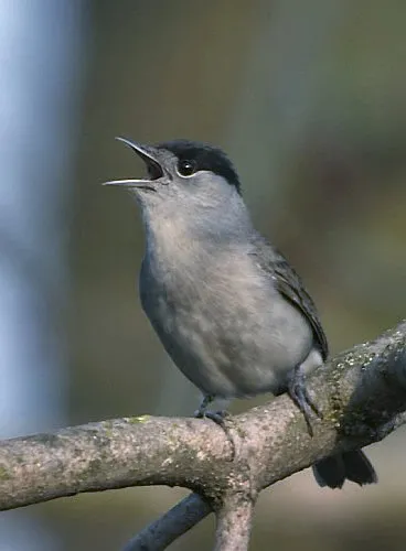
- Eurasian Blackcap · Sylvia atricapilla · 2413
- Eurasian Chaffinch · Fringilla coelebs · 2222
- Eurasian Wren · Troglodytes troglodytes · 2077
- European Stonechat · Saxicola rubicola · 1730
- European Serin · Serinus serinus · 1674
- Dunnock · Prunella modularis · 1370
- House Sparrow · Passer domesticus · 1343
- Common Linnet · Linaria cannabina · 1260
+18 more species
- White Wagtail · Motacilla alba · 1232
- Rock Bunting · Emberiza cia · 1219
- Carrion crow · Corvus corone · 1106
- Eurasian Jay · Garrulus glandarius · 1051
- Maritime pine · Pinus pinaster · 1044
- Eurasian blue tit · Cyanistes caeruleus · 1041
- Great tit · Parus major · 1040
- Coal tit · Periparus ater · 1023
- Black Redstart · Phoenicurus ochruros · 1017
- Eurasian Skylark · Alauda arvensis · 1012
- Common Whitethroat · Sylvia communis · 981
- Dartford Warbler · Sylvia undata · 976
- Red-backed Shrike · Lanius collurio · 936
- Common Buzzard · Buteo buteo · 930
- Common Firecrest · Regulus ignicapilla · 883
- Iberian Chiffchaff · Phylloscopus ibericus · 879
- Barn Swallow · Hirundo rustica · 873
- Common Cuckoo · Cuculus canorus · 857
Records: GBIF.org (CC-BY). Names: Wikidata (CC0), GBIF. Photos: Wikimedia Commons.
Conservation challenges
The primary purpose of the site is to preserve its natural habitats and the biodiversity they support. The species recorded (Biodiversity tab) reflect its ecological value. The designations it holds frame its management and the control of land use.
According to Global Forest Change data (University of Maryland, Global Forest Watch), about 8,400 ha of tree cover were lost within the boundary between 2001 and 2023 (12% of its area), peaking in 2016 and 2017. These losses include logging, storms and fires, and do not account for regrowth. According to the European CORINE Land Cover inventory (Copernicus), land cover changed on about 1,640 ha of the site between 1990 and 2018 (2% of its area): open water grew by 439 ha, mostly at the expense of open natural land, while open natural land shrank by 366 ha, mostly giving way to forest. Forest felling and regrowth add about 6,330 ha in total over the period. Since 2016, the European EFFIS system (Copernicus) has mapped 310 fires here, burning about 24,434 ha within the boundary; the largest, in July 2025 (near Entre Ambos-os-Rios, Ermida e Germil), covered 5,314 ha. At night, 2% of the area gives off artificial light detectable from space (NASA VIIRS Black Marble composite, 2016): it ranks among the darkest places in the atlas for this country. According to the Natura 2000 forms, of 18 assessed habitats of European interest, 8 are in excellent condition and 2 in average or reduced condition. According to the Water Framework Directive assessment (2022 river basin management plans, data 2014–2019), 100% of the 126 km of rivers assessed within the site are in good or high ecological status. Other assessed water bodies: lakes, 7 of 7 in good ecological status or better. Since 2000, 11 invasive alien species have been recorded within the site (GBIF observations), 3 of them listed as of Union concern under EU Regulation 1143/2014. Among them: Reynoutria japonica (Japanese Knotweed), Ailanthus altissima (Tree-of-heaven) and Hakea sericea (Needle Bush).
Pressure indicators
Tree cover lost
8,396 ha
2001–2023 · 12% of the area
20012023
Fires since 2016
24,434 ha
burned within the boundary (310 mapped fires)
- 2025 · Entre Ambos-os-Rios, Ermida e Germil · 5,314 ha
- 2016 · Soajo · 2,533 ha
- 2016 · Gavieira · 1,842 ha
Light at night
2%
of the area gives off artificial light visible from space
DarkLit
Built-up land
< 1%
buildings, business areas, roads, quarries · farmland 8%
Land cover change
1,640 ha
changed cover, 1990–2018 · CORINE · 2% of the area
- +439 ha · water bodies
- −366 ha · open natural land
forest felling and regrowth: 6,330 ha in total
Rivers and lakes
100%
of the 126 km of assessed rivers in good or high ecological status · WFD 2022
Lakes: 7 of 7 good or better
assessments 2014–2019
Invasive alien species
11
incl. 3 of EU concern · since 2000
 Japanese KnotweedEU
 Tree-of-heavenEU
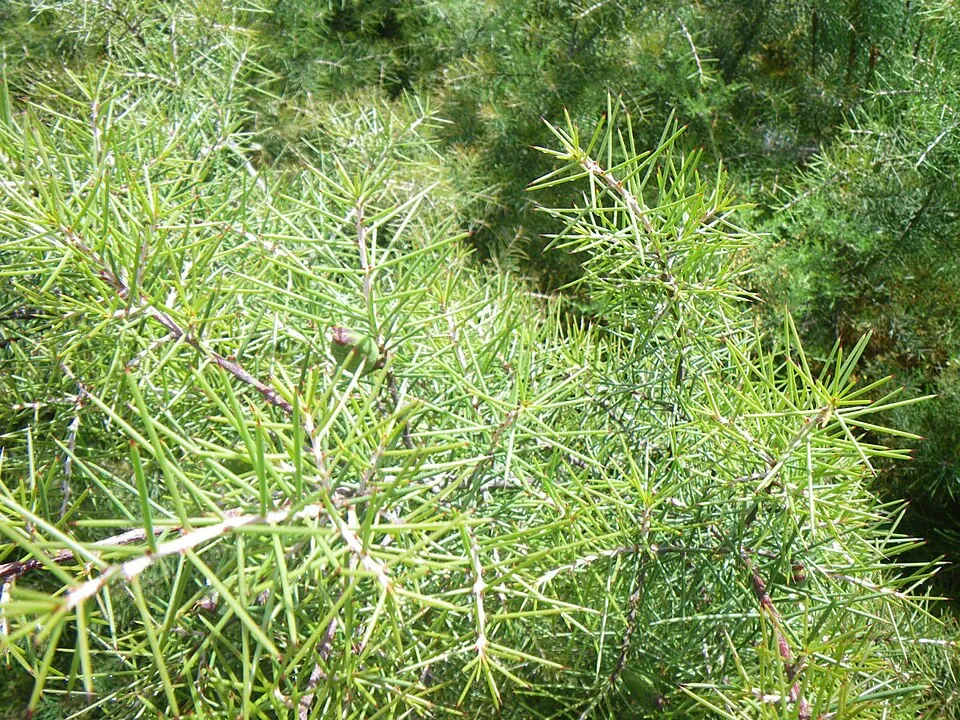 Needle BushEU
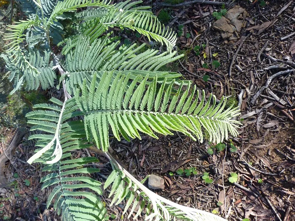 Silver Wattle
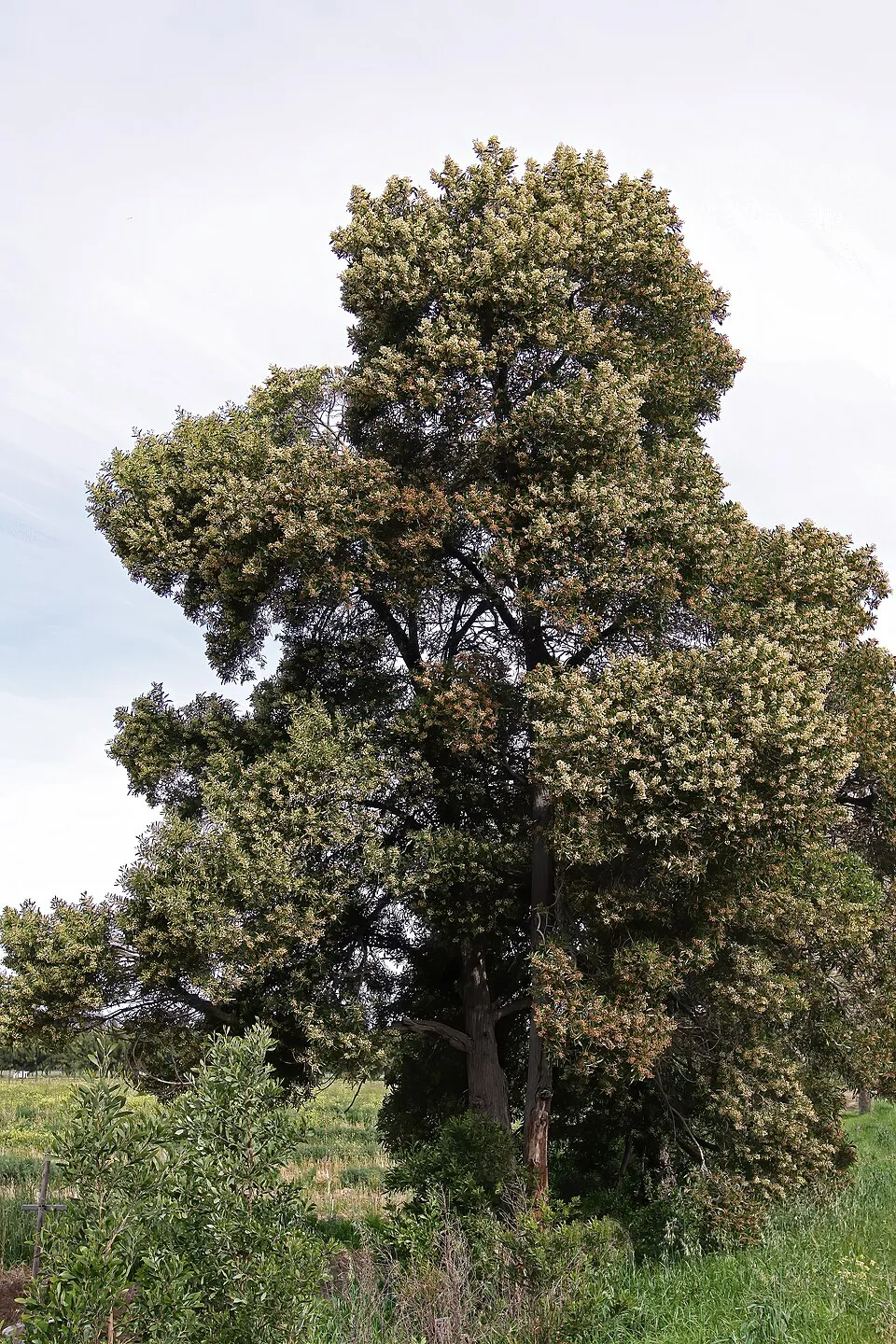 Blackwood
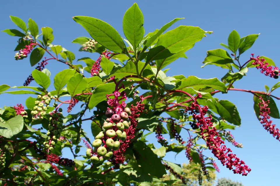 American pokeweed
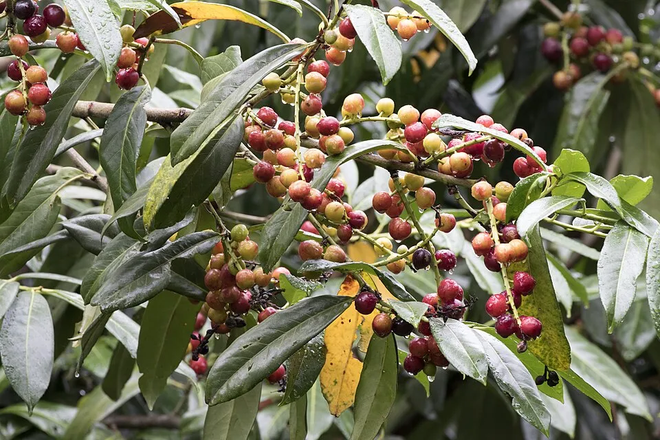 Cherry laurel
 Pampas grass
Photos: Japanese Knotweed © W.carter · CC0-1.0; Tree-of-heaven © Darkone · CC BY-SA 2.5; Needle Bush © Edoarado · CC BY-SA 3.0; Silver Wattle © Donald Hobern from Copenhagen, Denmark · CC BY 2.0; Blackwood © SAplants · CC BY-SA 4.0; American pokeweed © Huw Williams (Huwmanbeing) · Public domain; Cherry laurel © Zeynel Cebeci · CC BY-SA 4.0; Pampas grass © Solipsist · CC BY-SA 2.0
Sources: Global Forest Change (Hansen et al., University of Maryland, via Global Forest Watch, CC-BY 4.0); EFFIS, European Commission / Copernicus; NASA Black Marble 2016 (public domain); CORINE Land Cover 2018 (Copernicus) or MODIS.
CORINE Land Cover Change 1990–2018: generated using European Union's Copernicus Land Monitoring Service information (EEA), aggregated by Parkavela; DOI 10.2909/f30f1000-7cf8-43bb-872c-5eb093911b24.
Ecological status of water bodies: European Environment Agency, WISE – Water Framework Directive, 3rd river basin management plans (2022), CC BY 4.0. Official national classification, not comparable between countries.
Invasive alien species: Global Register of Introduced and Invasive Species (ISSG, CC BY 4.0); Union list, Regulation (EU) 1143/2014 (INBO, CC0); GBIF.org records (CC0 / CC BY 4.0), at least 2 per species.
Practical information
Cities and airport
- Braga
24 km as the crow flies - Ourense
35 km as the crow flies - Airport: Francisco de Sá Carneiro (OPO)
64 km as the crow flies
Visitor information
- Casa Florestal de Entre Outeiros
within the site - Casa Abrigo de Adrão
within the site - Casa Florestal de Beleiral
within the site - Casa Florestal de Tieiras
within the site
Parking
74 public car parks listed within the site · 3 trailheads
Parque de AutocarrosEstacionamento da CascataEstacionamento da EscolaEstacionamento do Taranhal
Things to see
10 waterfalls
- Cascata da Laja
waterfall - Cascata da Peneda
waterfall - Cascata da Portela do Homem
waterfall - Cascata do Arado
waterfall - Cascatas de Fecha de Barjas
waterfall
Hiking
60 waymarked routes listed, including:
GR 50 (185 km)GR 1 (23 km)GR 2 (84 km)GR 34 (35 km)Caminho da Geira e dos ArrieirosVia Mariana
By bike
Ecovia do Rio Lima - Percurso da Laranja · 4 km
+ 3 local loops
Signed cycle routes: this does not mean that cycling is allowed on footpaths.
Data © OpenStreetMap contributors (ODbL) · Wikidata (CC0)
Routes © OpenStreetMap contributors (ODbL), via Waymarked Trails
Waymarked hiking routes
GRA Caminho da Geira e dos Arrieiros
21 km within the site ↗ 380 m↘ 237 m 722–1,045 m
GRM Grande Rota de Montanha do Alto Minho
50 km within the site ↗ 993 m↘ 743 m 77–906 m
GR 50 Grande Rota Peneda-Gerês
155.2 km within the site ↗ 2,028 m↘ 1,958 m 275–942 m
GR1 PTB Grande Rota de Montanha do Alto Minho - Ponte da Barca
23.4 km within the site ↗ 931 m↘ 705 m 77–908 m
GR2 AVV GR 2 – Inter Municipal – Arcos de Valdevez Norte
26.5 km within the site ↗ 279 m↘ 630 m 325–686 m
GR34 Trilho Interpretativo da Serra Amarela
23.4 km within the site ↗ 904 m↘ 511 m 397–1,187 m
Tracks © OpenStreetMap contributors (ODbL), clipped to the boundary; elevation gain and profiles computed on the longest section from Mapzen Terrain Tiles (≈ 30 m), indicative only.
Bathing
1 monitored bathing site in or within 1 km of the site · 2025 classification
Excellent · 1
- Alqueirão · lake · Excellent
Source: European Environment Agency, official bathing water classification (Directive 2006/7/EC, CC-BY 4.0). Swimming is only permitted at the sites and times authorised locally.
Access and visiting
The nearest railway station is Arbo, about 11 km from the site boundary. Nearest towns of over 50,000 people, as the crow flies: Braga (24 km) and Ourense (35 km). Nearest airport: Francisco de Sá Carneiro (OPO), about 64 km away. About 240,000 people live within 20 km of the site boundary, 72,000 of them within 10 km; some 5,900 people are estimated to live inside (GHSL estimate, 2020). This population has fallen by about 13% since 2000. Visitor information on site: Casa Florestal de Entre Outeiros, Casa Abrigo de Adrão and Casa Florestal de Beleiral. Public car parks listed within the site: 74, including Parque de Autocarros, Estacionamento da Cascata and Estacionamento da Escola. Waymarked hiking routes listed in OpenStreetMap: 60, including GR 50 (185 km), GR 1 (23 km), GR 2 (84 km) and GR 34 (35 km). A signed cycle route crosses the site: “Ecovia do Rio Lima - Percurso da Laranja” (OpenStreetMap). To see: 10 waterfalls, including Cascata da Laja, Cascata da Peneda, Cascata da Portela do Homem and Cascata do Arado. To plan a visit (access, opening periods, visitor rules), it is best to consult the official information from the managing body and the official website listed in this page's sources.
Source: OpenStreetMap (ODbL), Wikidata (CC0), October 2026.
Built heritage
According to Wikidata, 24 monuments classified as Portuguese cultural heritage (national monuments and properties of public interest) stand within the boundary, 9 of them national monuments. Among them are 6 prehistoric and archaeological sites, 5 bridges, lighthouses, mills and working buildings and 4 religious buildings. Nationally designated items include “Mosteiro de Santa Maria das Júnias” in Pitões das Junias, “Castle of Castro Laboreiro” in Castro Laboreiro e Lamas de Mouro and “Antas da Serra de Soajo” in Cabana Maior.
6 prehistoric and archaeological sites5 bridges, lighthouses, mills and working buildings4 religious buildings3 castles and fortifications
-
Mosteiro de Santa Maria das Júnias
National
Pitões das Junias -
Castle of Castro Laboreiro
National
Castro Laboreiro e Lamas de Mouro -
Antas da Serra de Soajo
National
Cabana Maior -
Pelourinho de Soajo
National
Soajo -
Santuário de Nossa Senhora da Peneda
National
Gavieira -
Castle of Lindoso
National
Lindoso -
Geira - 35 marcos miliários
National
Chamoim e Vilar -
Ponte da Cava da Velha
National
Castro Laboreiro e Lamas de Mouro · 1st c., 12th c., 13th c.
and 16 more
Source: Wikidata (CC0), monuments in each country’s official heritage protection registers, at national or regional level. Each item links to its Wikidata entry.
When to visit
Best time to visit: from April to September, with average temperatures of 11 to 21 °C and moderate rainfall. Precipitation peaks in October (up to 230 mm per month). These averages apply to the site's representative point (500 m); higher up it is markedly cooler. Day length ranges from about 9 h 09 min in December to 15 h 12 min in June. Wildlife records published on GBIF peak for birds (June), plants (from May to July), butterflies and moths (June), dragonflies (July and August) and mammals (from May to August). These peaks also reflect when observers are most active.
Source: Copernicus ERA5-Land (C3S), monthly averages 1996–2025 at the representative point, temperatures adjusted for elevation.
Contains modified Copernicus Climate Change Service information 2026. Neither the European Commission nor ECMWF is responsible for any use that may be made of the Copernicus information or data it contains.
Wildlife records calendar
JFMAMJJASOND
Birds
Plants
Butterflies & moths
Dragonflies
Mammals
Monthly records published on GBIF (CC-BY), relative to the busiest month; also reflects observer activity.
Gallery
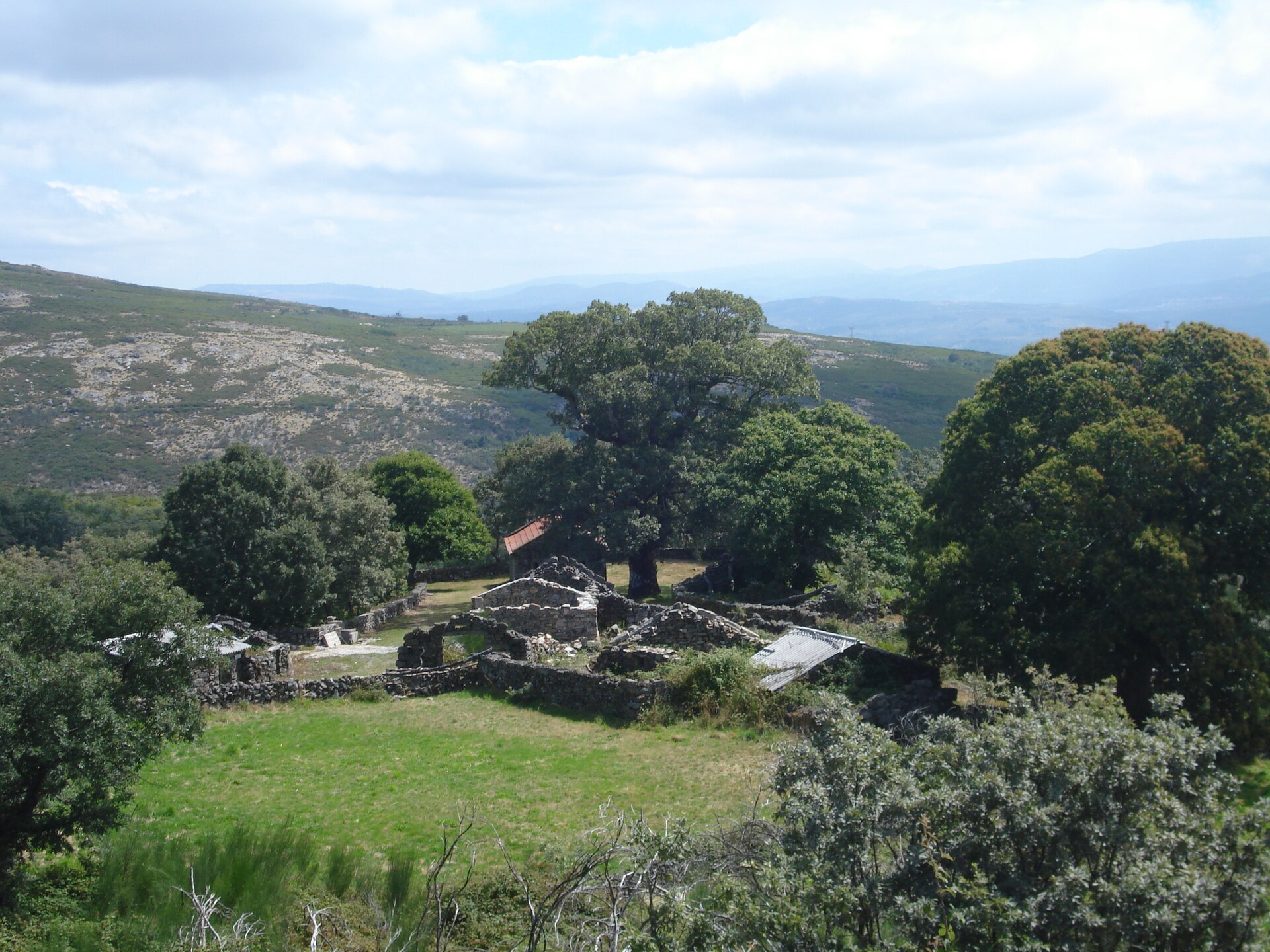
© Rosino · CC BY-SA 2.0
© Zeorymer · CC BY-SA 3.0
© Pedro Silva · CC BY-SA 4.0
© Rosino · CC BY-SA 2.0
© ALusitana · CC BY-SA 3.0
© Jose Manuel Gonzalez Paz · CC BY-SA 4.0
Sources and licences
- Wikidata: Q1473702
- OpenStreetMap: relation 2383411
- Official website: https://icnf.pt/conservacao/rnapareasprotegidas/pnacpenedageres
- Wikipedia: en.wikipedia.org/wiki/Peneda-Gerês_National_Park
- WDPA: 860
References
- cds.climate.copernicus.eu: climate · CC-BY-4.0
- registry.opendata.aws: elevation of the reference point, detailed relief · PD
- land.copernicus.eu: land cover, land cover change, sea share · COPERNICUS
- doi.org: population around the site · CC-BY-4.0
- wikidata.org: official area, highest point, establishment date, protected heritage, nearby cities and airport, access and peaks, lake depths, places to see, official website · CC0-1.0
- eea.europa.eu: bathing water quality, ecological status of waters · CC-BY-4.0
- en.eurovelo.com: EuroVelo cycle routes · ODbL-1.0
- cycling.waymarkedtrails.org: cycle routes · ODbL-1.0
- opentopodata.org: elevations · PD
- forest-fire.emergency.copernicus.eu: wildfires · COPERNICUS
- globalforestwatch.org: tree cover loss · CC-BY-4.0
- gbif.org: seasonality of sightings, invasive alien species, observed species · CC-BY-4.0
- europe-geology.eu: geology · CC-BY-4.0
- hydrosheds.org: lakes · CC-BY-4.0
- natura2000.eea.europa.eu: Natura 2000 habitats and species · CC-BY-4.0
- openstreetmap.org: official name, access and peaks · ODbL-1.0
- earthobservatory.nasa.gov: night light · PD
- hiking.waymarkedtrails.org: route difficulty · ODbL-1.0
- nsidc.org: snow cover · PD
- wikidata.org: Wikipedia article · CC-BY-SA-4.0
Data © OpenStreetMap contributors (ODbL), Wikidata (CC0) and the sources cited.