
Plant
Western Rustwort: where to see it
Marsupella profunda
This plant species is recorded in 5 protected areas of the atlas, and is listed on the official Natura 2000 form of each of them. Within the atlas countries, it is observed in the United Kingdom and Portugal. Records peak in July. It is a priority species under the Habitats Directive (Annex II). In the EU its conservation status is assessed as unfavourable (2013–2018 reporting).
Best time to see it: July
Records published on GBIF by month (CC0 and CC BY 4.0 licences only), in the atlas countries, all years combined; they also reflect observer activity.
Status and protection
Habitats Directive II ★
The species is listed in Annex II of the Habitats Directive, as a priority species.
In the EU its conservation status is assessed as unfavourable-bad in the Atlantic and Macaronesian regions and unfavourable-inadequate in the Mediterranean region (2013–2018 reporting).
Distribution
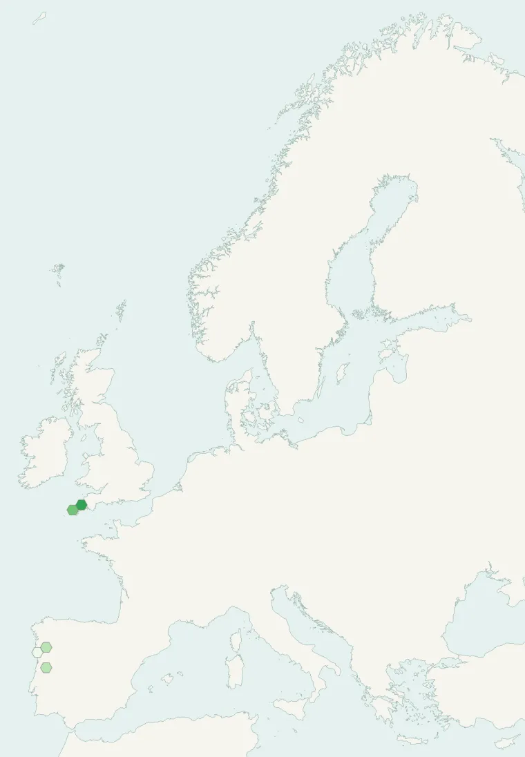
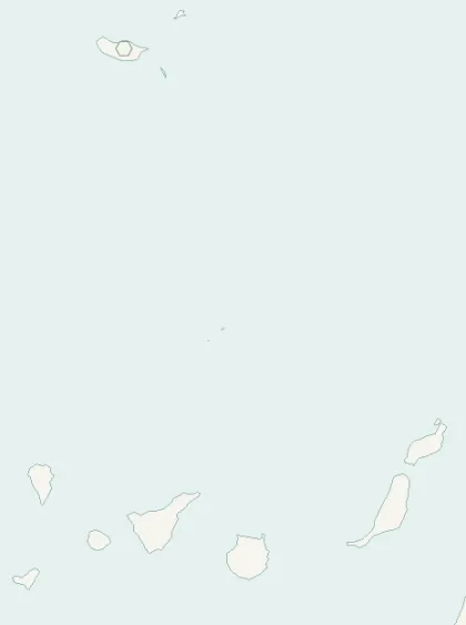
Records published on GBIF (CC0 and CC BY 4.0 licences): the darker the shade, the more records there are; they also reflect observation effort.
Atlas countries where it is recorded
From Wikipedia
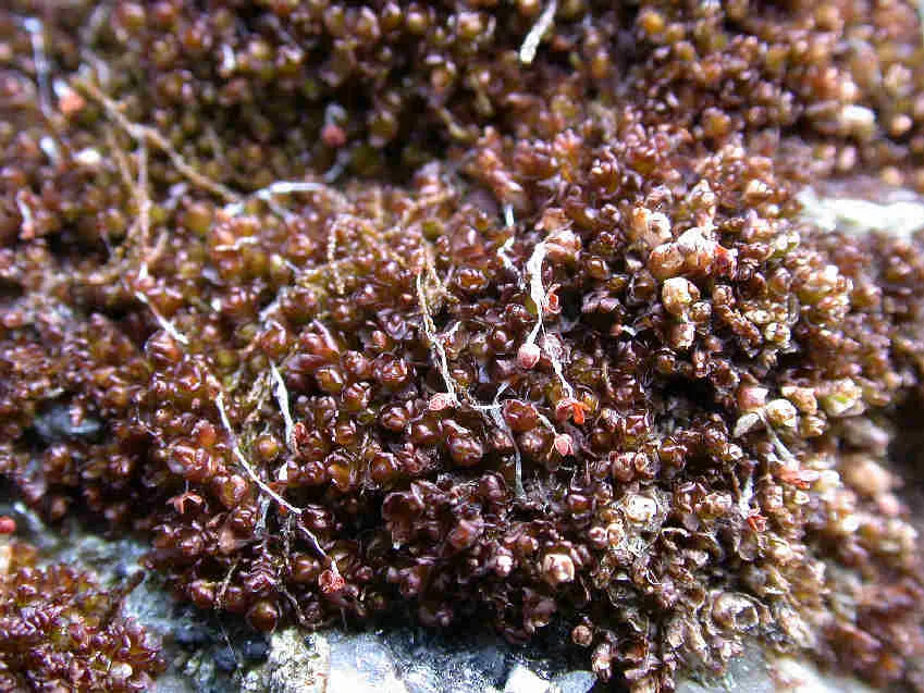
Marsupella profunda, the western rustwort, is a liverwort native to Europe and known only from Portugal (Mainland, Azores and Madeira) and Great Britain (Cornwall) and has been sighted in the Canary Islands. It is a small reddish liverwort and can be confused with Marsupella sprucei which has a more widespread distribution.
Source: Wikipedia, article “Marsupella profunda” (version of December 4, 2025) · history and authors · licence CC BY-SA 4.0
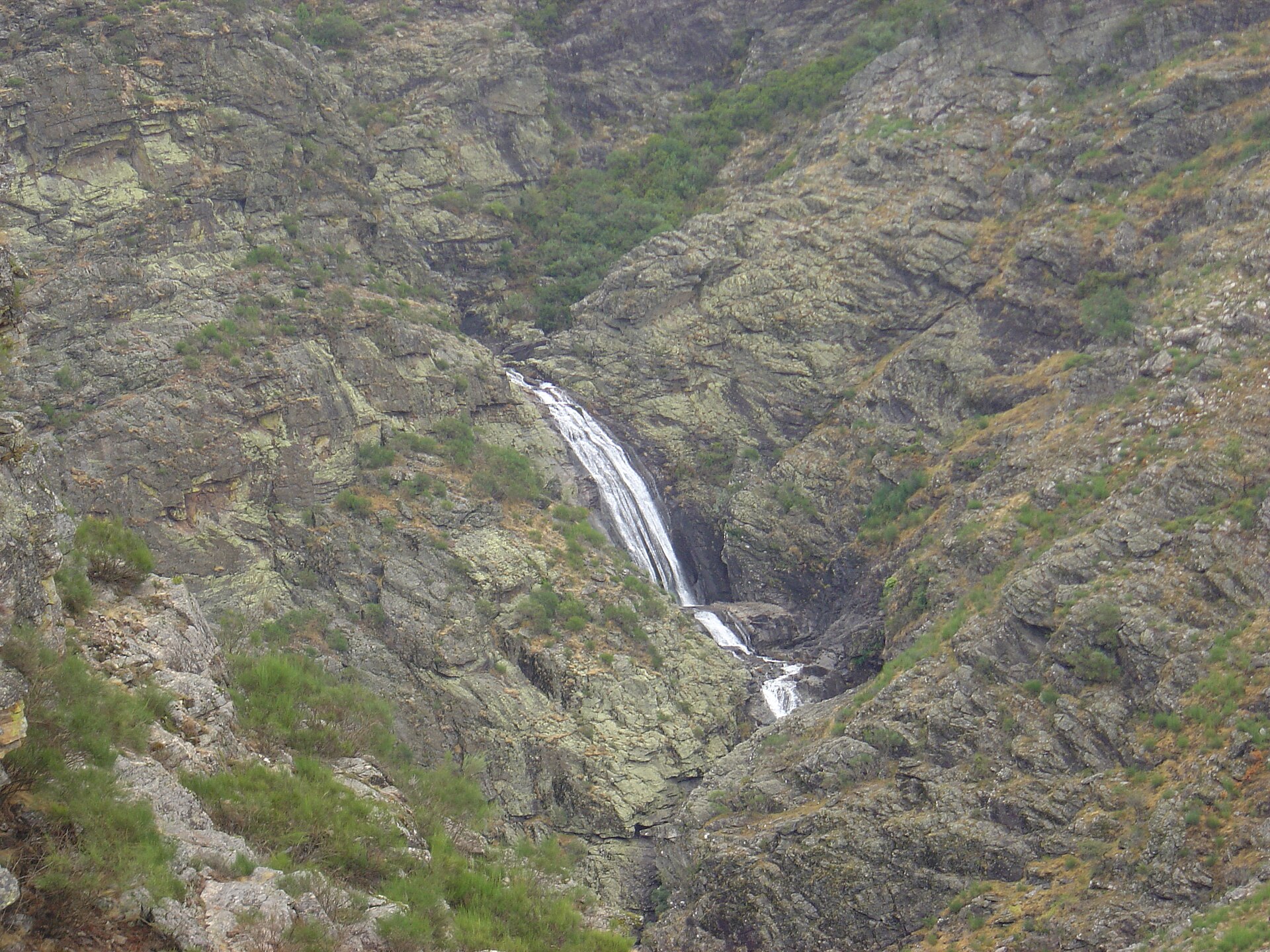
Protected areas where it is recorded
Natura 2000
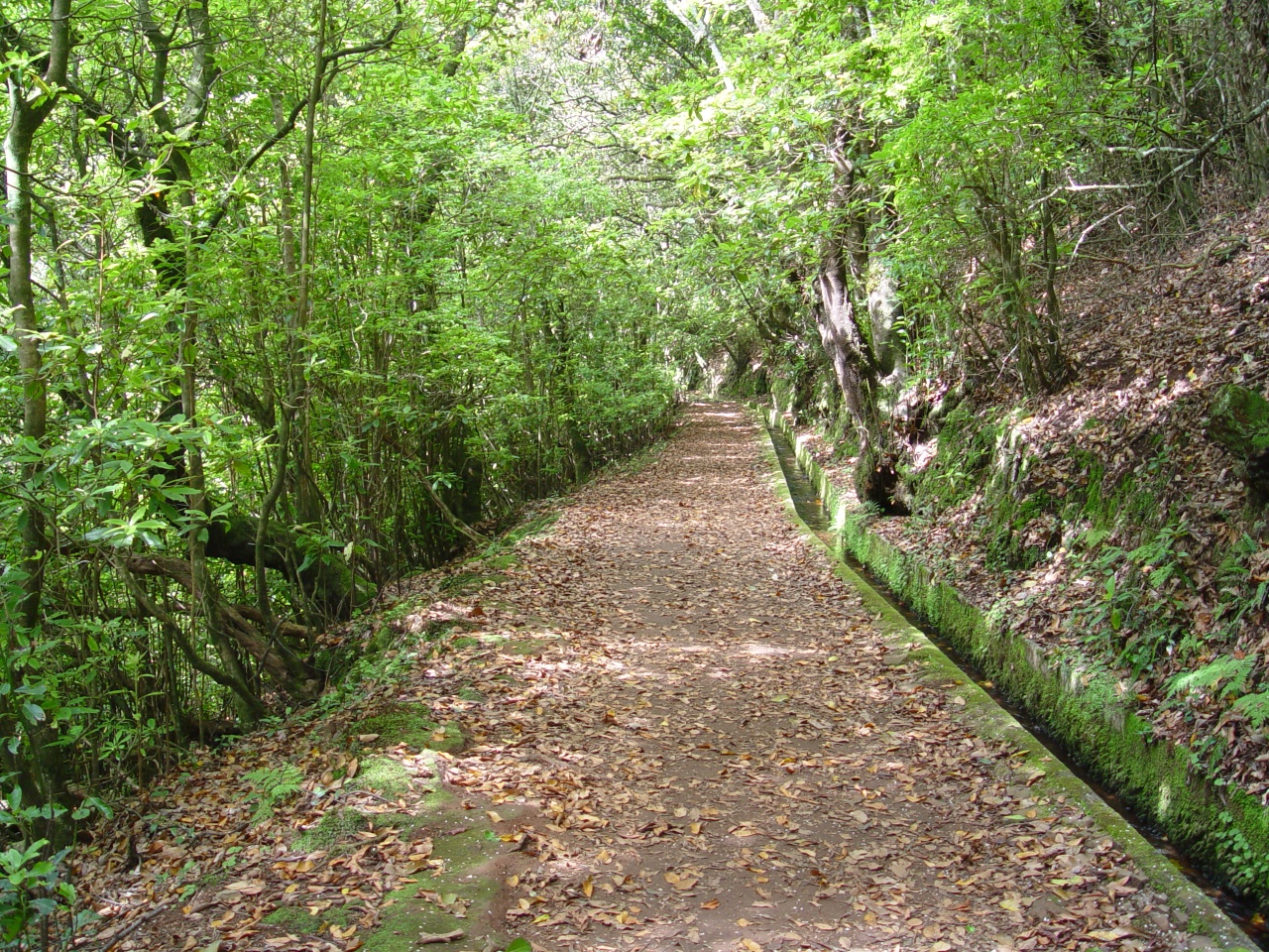
Natura 2000
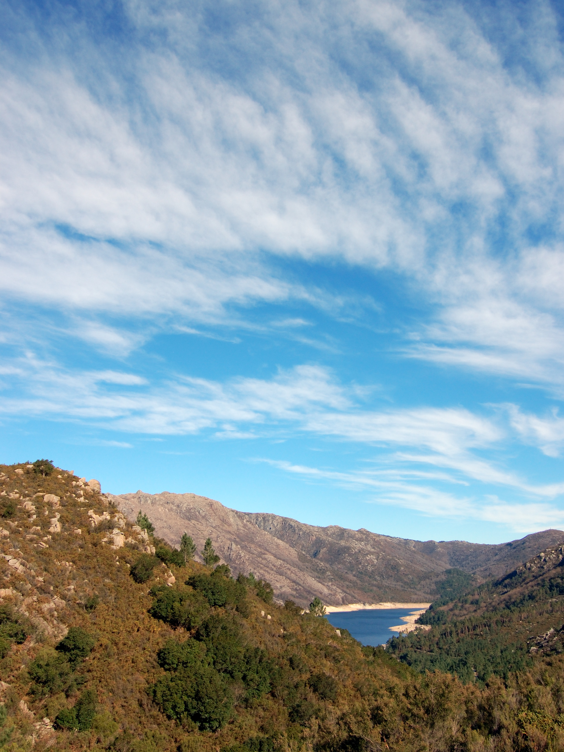
Natura 2000
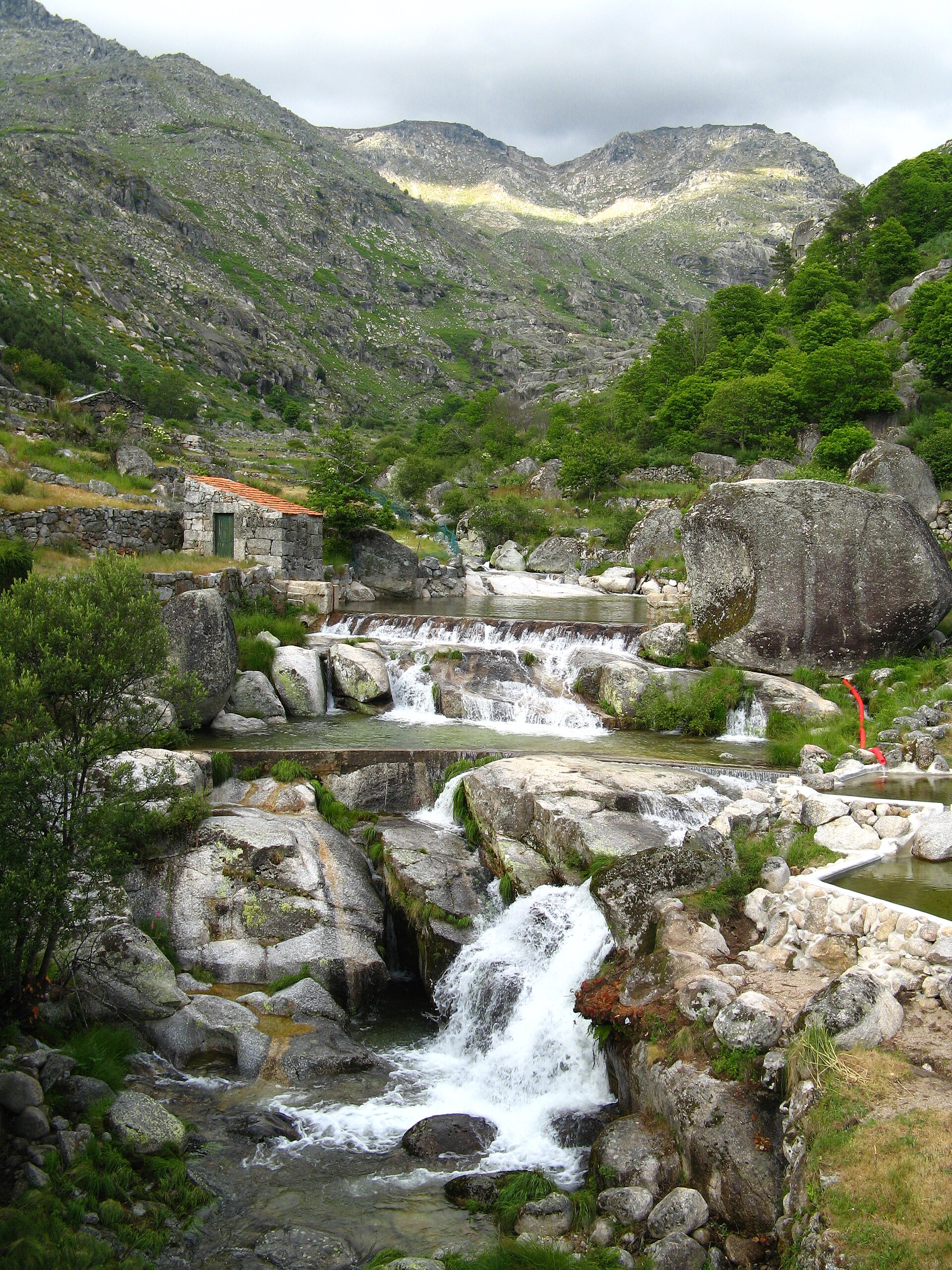
Natura 2000

Natura 2000
Other species to discover
 Soft bog-moss
Sphagnum tenellum 3 places in common
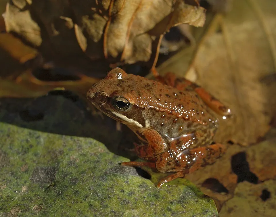 Iberian Frog
Rana iberica 4 places in common
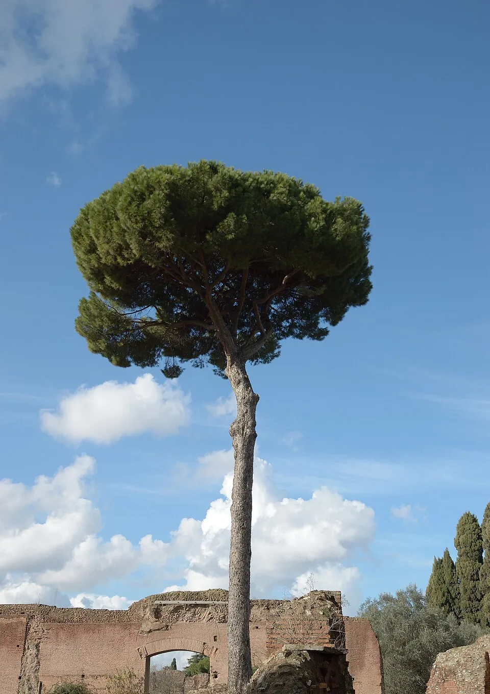 Maritime pine
Pinus pinaster 4 places in common
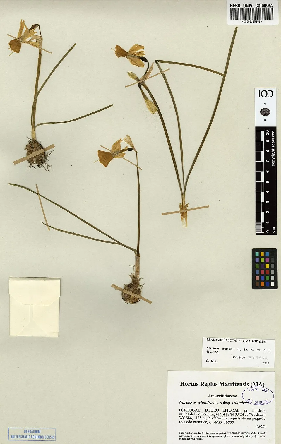 Angel's-tears
Narcissus triandrus 4 places in common
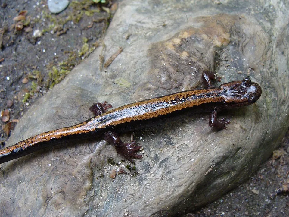 Golden-striped Salamander
Chioglossa lusitanica 3 places in common
 Luciobarbus bocagei
4 places in common
Sources and credits
- Presence: most-recorded species of each place on GBIF and species of Community interest in the Natura 2000 forms (EEA, CC-BY 4.0); absence from the list does not mean the species is absent.
- Common names: Wikidata (CC0) and GBIF.
- Photos and sounds: Wikimedia Commons, author and licence given for each file.
- Classification: GBIF Backbone Taxonomy (GBIF Secretariat), CC BY 4.0, doi:10.15468/39omei.
- Countries, elevations, months and maps: GBIF.org, CC0 or CC BY 4.0 occurrences only, accessed October 22, 2026, GBIF.org.
- Base map: Natural Earth (public domain).
- Excerpt: Wikipedia, CC BY-SA 4.0 (full credit below the excerpt).
- Annexes: Directive 92/43/EEC (consolidated version), © European Union, EUR-Lex.
- Conservation status: EEA / DG ENV, Article 17 Habitats Directive reporting (2013–2018), CC BY 4.0.