Bird
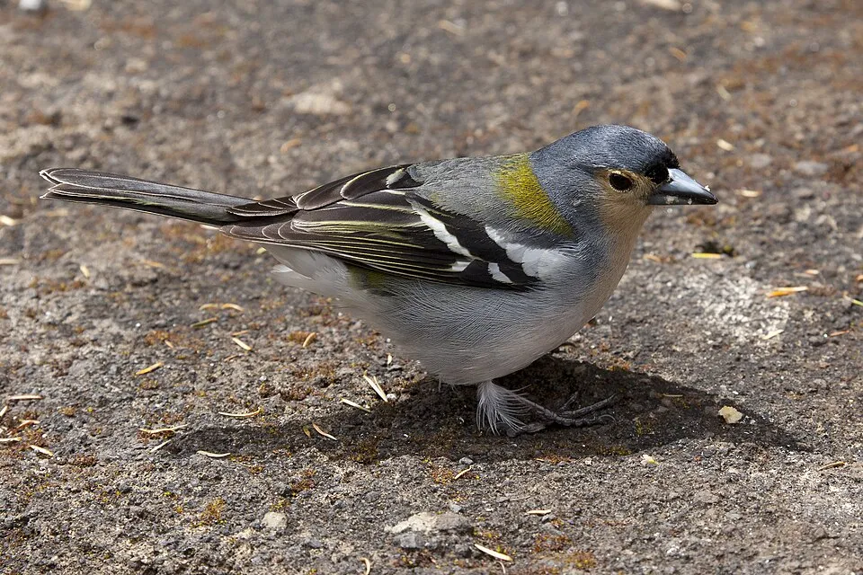
Madeira Chaffinch
Fringilla maderensis2,618 records © Mike Lehmann, Mike Switzerland (talk) 07:43, 21 July 2011 (UTC) · CC BY-SA 3.0
Portugal · Terrestrial
Nature park of 44,400 hectares in Portugal, established in 1982.
Nature park of 44,400 hectares in Portugal, established in 1982.
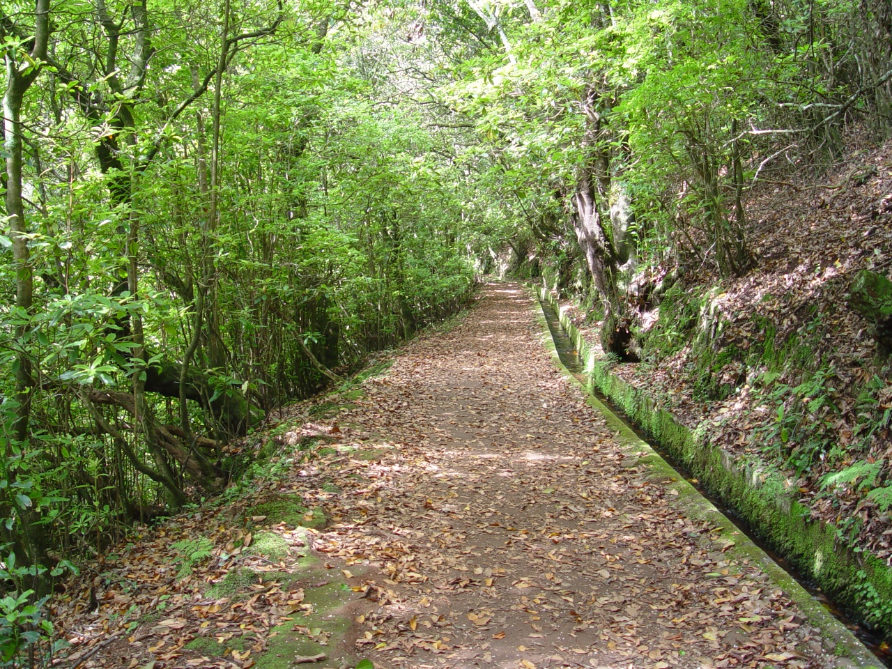
Madeira Natural Park is a nature park in Portugal (Europe). It is a predominantly terrestrial area. Established in 1982, it covers about 44,400 hectares.
Protected as a nature park. International labels and designations: UNESCO World Heritage (“Laurisilva of Madeira”), UNESCO Biosphere Reserve (“Santana Madeira”) and Natura 2000 network (9 sites). Key dates: established in 1982, first Natura 2000 site under the Birds Directive in 1990, World Heritage listing in 1999 and first Natura 2000 site under the Habitats Directive in 2009.
Sources: Wikidata (CC0) for establishment and international labels; EEA Natura 2000 database (CC-BY 4.0) for site designation dates.
In Portugal (Europe). Representative point: 32.7386° N, 16.9538° W.
About 44,400 hectares (444 km²). It is the 7th largest of the 15 nature parks in Portugal covered by Parkavela.
In 1982.
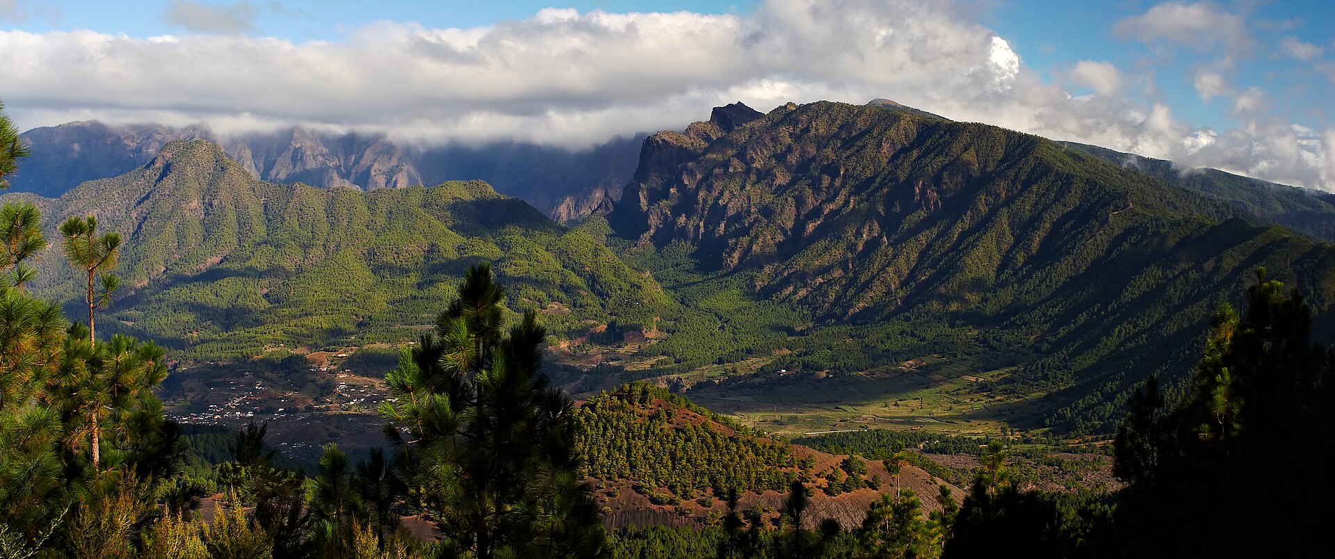
A terrestrial area, with forests and mountains.
According to the European 1:1 million geological map (EGDI), the bedrock consists mainly of basalts (100% of sampled points). These are mostly igneous rocks. The geological units date mainly from the Neogene (69% of sampled points).
Ruivo, at 1,862 m (OpenStreetMap).
Ruivo (1,862 m), Torres (1,851 m), Arieiro (1,818 m), Curral Martinho (1,785 m) and Cedro (1,759 m) (OpenStreetMap).
UNESCO World Heritage (“Laurisilva of Madeira”), UNESCO Biosphere Reserve (“Santana Madeira”) and Natura 2000 network (9 sites).
Best time to visit: from May to October, with average temperatures of 10 to 17 °C and moderate rainfall.
2 waterfalls, including Risco and Cascata do Véu da Noiva (Wikidata).
13 monitored bathing sites lie in or within 1 km of the site; official 2025 classification: 11 excellent, 1 sufficient and 1 poor (European Environment Agency). Swimming is only permitted at the sites and times authorised locally.
Nearest airport: Madeira Cristiano-Ronaldo (FNC), about 4 km away.
Posto Florestal da Casa Velha, Posto Florestal Estanquinhos and Posto Florestal da Malhadinha.
Yes. Waymarked hiking routes listed in OpenStreetMap: 96, including Caminho Real. The “CR25 · Caminho Real 25” route runs for about 16 km through the site, with some 1,250 m of ascent on its longest section.
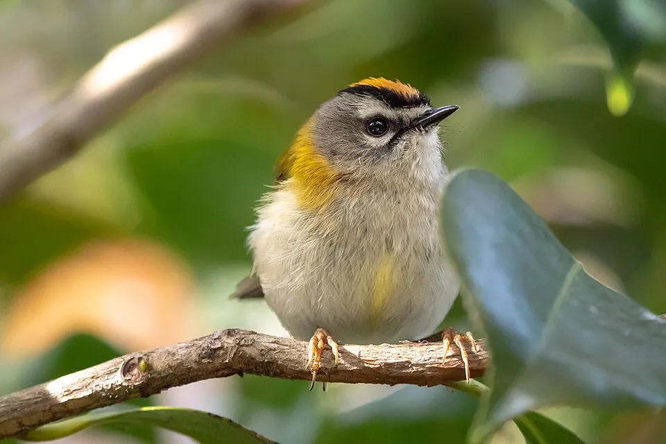
Among the species most often recorded on GBIF are Fringilla maderensis (Madeira Chaffinch), Turdus merula (Common Blackbird), Regulus madeirensis (Madeira Firecrest) and Serinus canaria (Atlantic Canary).
© OpenStreetMap
Download the boundary: GeoJSON · GPX Boundary © OpenStreetMap contributors (ODbL).
The representative point of the site lies at around 1,347 m above sea level. Over the 1996–2025 period, the mean annual temperature is about 11.5 °C and total precipitation reaches roughly 562 mm per year. The warmest month is usually August, the coolest February, and the wettest December. According to the European 1:1 million geological map (EGDI), the bedrock consists mainly of basalts (100% of sampled points). These are mostly igneous rocks. The geological units date mainly from the Neogene (69% of sampled points).
Terrain: Mapzen Terrain Tiles (SRTM, USGS)
share of the site in each elevation band (smoothed terrain model: summits are rounded off) · Terrain: Mapzen Terrain Tiles (SRTM, USGS)
Igneous rocks 100 % · Main age: Neogene (69%)
Source: EGDI 1:1M geological map (EuroGeoSurveys and national geological surveys), CC BY 4.0 · 16 sampled points within the site.
Data © OpenStreetMap contributors (ODbL)
● Mean temperature (°C) · ▮ Precipitation (mm)
Source: Copernicus ERA5-Land (C3S, doi:10.24381/cds.68d2bb30), monthly averages 1996–2025 interpolated to the representative point, temperatures adjusted for elevation.
Contains modified Copernicus Climate Change Service information 2026. Neither the European Commission nor ECMWF is responsible for any use that may be made of the Copernicus information or data it contains.
According to CORINE Land Cover (2018), the site is mainly made up of forests (43%), heath and scrub (34%) and grassland and meadows (13%). Woodland is mostly broadleaved. Elevation ranges from about 170 m to 1,862 m (highest point: Ruivo). Median elevation is 888 m, and 39% of the site lies above 1,000 m (SRTM elevation model). The terrain is steep: 35% of slopes exceed 30° (mean slope 25°). The 9 Natura 2000 sites overlapping the area list 12 habitats of European interest (4 priority), the most extensive being vegetated sea cliffs with endemic flora of the Macaronesian coasts, Thermo-Mediterranean and pre-desert scrub and Macaronesian laurel forests (Laurus, Ocotea).
Based on occurrences aggregated by GBIF, several species are regularly recorded within the site. Among the most frequent are Fringilla maderensis (Madeira Chaffinch), Turdus merula (Common Blackbird), Regulus madeirensis (Madeira Firecrest) and Serinus canaria (Atlantic Canary). The full list of documented taxa is shown below. The overlapping Natura 2000 sites list 101 species of European interest: 41 birds, 6 mammals, 3 reptiles, 5 invertebrates and 46 plants.
From the official forms of the 9 Natura 2000 sites overlapping the area (areas reported for each whole site).
and 4 more
Canarian Sparrowhawk (Accipiter nisus granti) breeding passage resident, Red-legged Partridge (Alectoris rufa) breeding resident, Berthelot's Pipit (Anthus berthelotii) resident breeding, Pallid Swift (Apus pallidus) resident breeding, Plain Swift (Apus unicolor) resident breeding, Grey Heron (Ardea cinerea) passage, Ruddy Turnstone (Arenaria interpres) passage, Bulwer’s Petrel (Bulweria bulwerii) breeding, Common Buzzard (Buteo buteo) breeding resident, Cory's Shearwater (Calonectris borealis) breeding, European Goldfinch (Carduelis carduelis) breeding, European Greenfinch (Chloris chloris) resident breeding and 29 more
Mediterranean Monk Seal (Monachus monachus), Lesser noctule (Nyctalus leisleri), Leisler's Noctule. (Nyctalus leisleri verrucosus), Madeira Pipistrelle (Pipistrellus maderensis), Grey long-eared bat (Plecotus austriacus), Common bottlenose dolphin (Tursiops truncatus)
Loggerhead sea turtle (Caretta caretta), Madeira lizard (Teira dugesii), Madeira Lizard (Teira dugesii dugesii)
Discus guerinianus, Madeiran Land Snail (Leiostyla abbreviata), Madeiran land snail (Leiostyla cassida), Madeiran Land Snail (Leiostyla gibba), Madeiran Land Snail (Leiostyla lamellosa)
Anthyllis lemanniana, Argyranthemum pinnatifidum ssp. succulentum, Berberis maderensis, Beet (Beta patula), Bryoerythrophyllum campylocarpum, Bunium brevifolium, Marygold (Calendula maderensis), Carex malato-belizii, Chamaemeles coriacea, Cirsium latifolium, Madeira Morning Glory (Convolvulus massonii), Woolly Tree Fern (Culcita macrocarpa) and 34 more
Source: Natura 2000 standard data forms (EEA, CC-BY 4.0). Not exhaustive: sensitive species are not published.
Bird
2,618 records © Mike Lehmann, Mike Switzerland (talk) 07:43, 21 July 2011 (UTC) · CC BY-SA 3.0

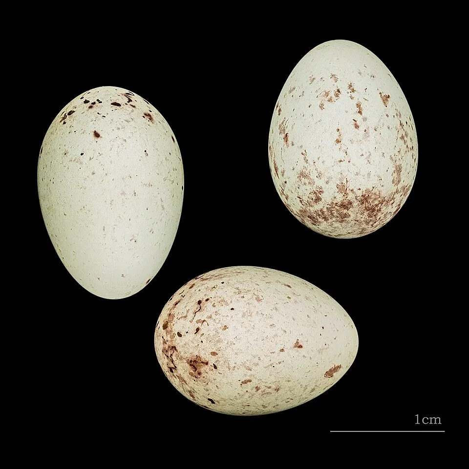
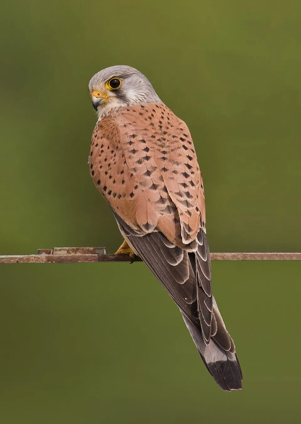
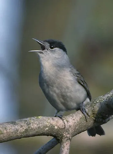
Occurrences documented via GBIF; they are neither an exhaustive inventory nor proof of current presence.
Records: GBIF.org (CC-BY). Names: Wikidata (CC0), GBIF. Photos: Wikimedia Commons.
The primary purpose of the site is to preserve its natural habitats and the biodiversity they support. The species recorded (Biodiversity tab) reflect its ecological value. The designations it holds frame its management and the control of land use.
According to Global Forest Change data (University of Maryland, Global Forest Watch), about 451 ha of tree cover were lost within the boundary between 2001 and 2023 (1% of its area), peaking in 2012 and 2023. These losses include logging, storms and fires, and do not account for regrowth. According to the European CORINE Land Cover inventory (Copernicus), land cover changed on about 5,110 ha of the site between 1990 and 2018 (12% of its area): forest shrank by 2,058 ha, mostly giving way to open natural land, while open natural land grew by 1,441 ha, mostly at the expense of forest. Forest felling and regrowth add about 2,720 ha in total over the period. Since 2016, the European EFFIS system (Copernicus) has mapped 30 fires here, burning about 16,722 ha within the boundary; the largest, in August 2024 (near Serra de Água), covered 5,959 ha. At night, 55% of the area gives off artificial light detectable from space (NASA VIIRS Black Marble composite, 2016). Built-up and developed land (buildings, business areas, roads, quarries) covers 2% of the area, and farmland 6% (CORINE Land Cover). According to the Natura 2000 forms, of 10 assessed habitats of European interest, 3 are in excellent condition and 1 in average or reduced condition. According to the Water Framework Directive assessment (2022 river basin management plans, data 2016–2021), 74% of the 245 km of rivers assessed within the site are in good or high ecological potential. Other assessed water bodies: coastal waters, 2 of 2 in good ecological status or better. Since 2000, 13 invasive alien species have been recorded within the site (GBIF observations), 5 of them on the European Union's list. Among them: Acacia mearnsii (Black wattle), Delairea odorata (Cape-ivy) and Cardiospermum grandiflorum (Showy balloonvine).
451 ha
2001–2023 · 1% of the area
16,722 ha
burned within the boundary (30 mapped fires)
55%
of the area gives off artificial light visible from space
2%
buildings, business areas, roads, quarries · farmland 6%
5,110 ha
changed cover, 1990–2018 · CORINE · 12% of the area
forest felling and regrowth: 2,720 ha in total
74%
of the 245 km of assessed rivers at good or high ecological potential (mostly heavily modified water bodies) · WFD 2022
Coastal waters: 2 of 2 good or better
assessments 2016–2021
13
incl. 5 on the EU list · since 2000
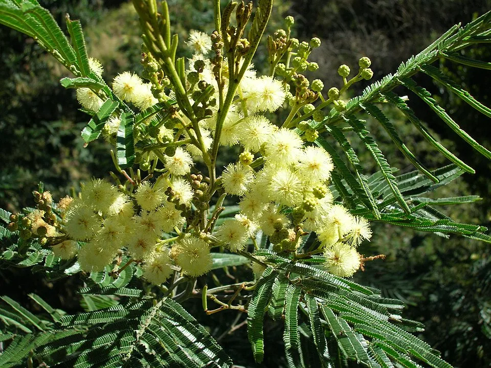 Black wattleEU
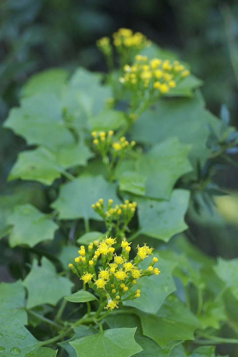 Cape-ivyEU
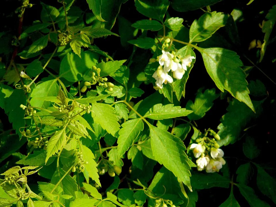 Showy balloonvineEU
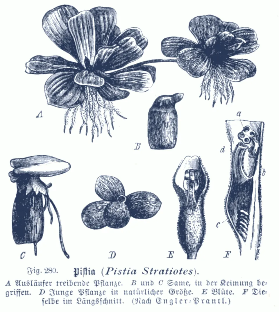 Water LettuceEU
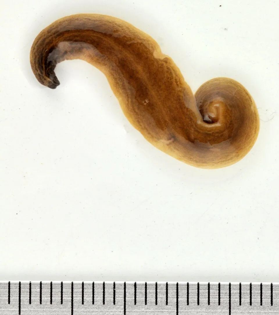 Obama FlatwormEU
 Sticky snakeroot
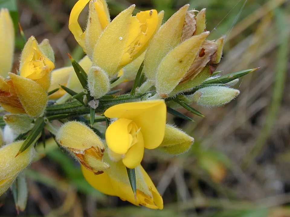 Gorse
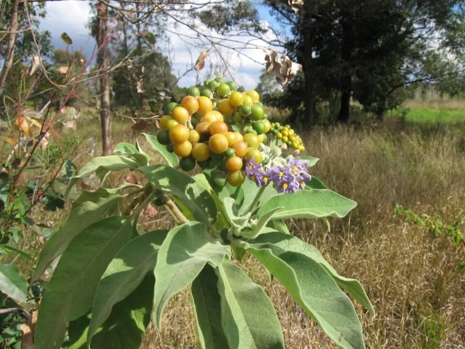 Earleaf nightshade
Photos: Black wattle © Dcarlson · CC BY 2.5; Cape-ivy © Eric in SF · CC BY-SA 3.0; Showy balloonvine © Bernd Sauerwein · CC BY-SA 3.0; Water Lettuce © Karl Moritz Schumann / Ernst Friedrich Gilg · Public domain; Obama Flatworm © Jean-Lou Justine · CC BY-SA 3.0; Sticky snakeroot © Ixitixel · CC BY-SA 3.0; Gorse © Forest & Kim Starr · CC BY 3.0; Earleaf nightshade © Peter Greenwell · CC BY-SA 3.0
Sources: Global Forest Change (Hansen et al., University of Maryland, via Global Forest Watch, CC-BY 4.0); EFFIS, European Commission / Copernicus; NASA Black Marble 2016 (public domain); CORINE Land Cover 2018 (Copernicus) or MODIS.
CORINE Land Cover Change 1990–2018: generated using European Union's Copernicus Land Monitoring Service information (EEA), aggregated by Parkavela; DOI 10.2909/f30f1000-7cf8-43bb-872c-5eb093911b24.
Ecological status of water bodies: European Environment Agency, WISE – Water Framework Directive, 3rd river basin management plans (2022), CC BY 4.0. Official national classification, not comparable between countries.
Invasive alien species: Global Register of Introduced and Invasive Species (ISSG, CC BY 4.0); Union list, Regulation (EU) 1143/2014 (INBO, CC0); GBIF.org records (CC0 / CC BY 4.0), at least 2 per species.
96 waymarked routes listed, including:
336 km graded out of 1,190 km of paths
SAC scale (T1–T6) © OpenStreetMap contributors (ODbL): indicative only, check with the park.
+ 7 local loops
Signed cycle routes: this does not mean that cycling is allowed on footpaths.
accessible toilets: 6
Reported by OpenStreetMap contributors (ODbL); check with the park before visiting.
Data © OpenStreetMap contributors (ODbL) · Wikidata (CC0)
Routes © OpenStreetMap contributors (ODbL), via Waymarked Trails
15.9 km within the site ↗ 1,246 m↘ 1,528 m 692–1,373 m
up to T2 · mountain hiking
5.3 km within the site ↗ 474 m↘ 434 m 1,555–1,832 m
up to T3 · demanding mountain hiking
7 km within the site ↗ 1,277 m↘ 33 m 489–1,737 m
up to T2 · mountain hiking
2.7 km within the site ↗ 299 m↘ 46 m 1,574–1,832 m
up to T2 · mountain hiking
10 km within the site ↗ 1,177 m↘ 402 m 990–1,791 m
up to T3 · demanding mountain hiking
10.8 km within the site ↗ 396 m↘ 576 m 700–897 m
up to T2 · mountain hiking
1.4 km within the site ↗ 92 m↘ 54 m 837–914 m
up to T1 · hiking
Tracks © OpenStreetMap contributors (ODbL), clipped to the boundary; elevation gain and profiles computed on the longest section from Mapzen Terrain Tiles (≈ 30 m), indicative only. Indicative difficulty (SAC scale, OpenStreetMap, via Waymarked Trails): check with the park.
13 monitored bathing sites in or within 1 km of the site · 2025 classification
and 3 more
Source: European Environment Agency, official bathing water classification (Directive 2006/7/EC, CC-BY 4.0). Swimming is only permitted at the sites and times authorised locally.
Nearest airport: Madeira Cristiano-Ronaldo (FNC), about 4 km away. About 240,000 people live within 20 km of the site boundary; some 15,000 people are estimated to live inside (GHSL estimate, 2020). Visitor information on site: Posto Florestal da Casa Velha, Posto Florestal Estanquinhos and Posto Florestal da Malhadinha. Waymarked hiking routes listed in OpenStreetMap: 96, including Caminho Real. Of the roughly 340 km of paths with a difficulty grade in OpenStreetMap, 35% are easy hiking (T1), 35% mountain hiking (T2) and 30% demanding or alpine hiking (T3–T6). This is indicative only: check with the park. OpenStreetMap contributors list one wheelchair-accessible place: Voile de la marié; check with the park before visiting. To see: 2 waterfalls, including Risco and Cascata do Véu da Noiva. To plan a visit (access, opening periods, visitor rules), it is best to consult the official information from the managing body and the official website listed in this page's sources.
Source: OpenStreetMap (ODbL), Wikidata (CC0), October 2026.
Best time to visit: from May to October, with average temperatures of 10 to 17 °C and moderate rainfall. These averages apply to the site's representative point (1,347 m); higher up it is markedly cooler and snow lasts longer. Day length ranges from about 10 h 00 min in December to 14 h 18 min in June. Wildlife records published on GBIF peak for birds (from April to July), plants (April), butterflies and moths (September), dragonflies (March) and mammals (July and August). These peaks also reflect when observers are most active.
Source: Copernicus ERA5-Land (C3S), monthly averages 1996–2025 at the representative point, temperatures adjusted for elevation.
Contains modified Copernicus Climate Change Service information 2026. Neither the European Commission nor ECMWF is responsible for any use that may be made of the Copernicus information or data it contains.
Monthly records published on GBIF (CC-BY), relative to the busiest month; also reflects observer activity.
Data © OpenStreetMap contributors (ODbL), Wikidata (CC0) and the sources cited.