
Portugal · Mixed
Ria Formosa Nature Park
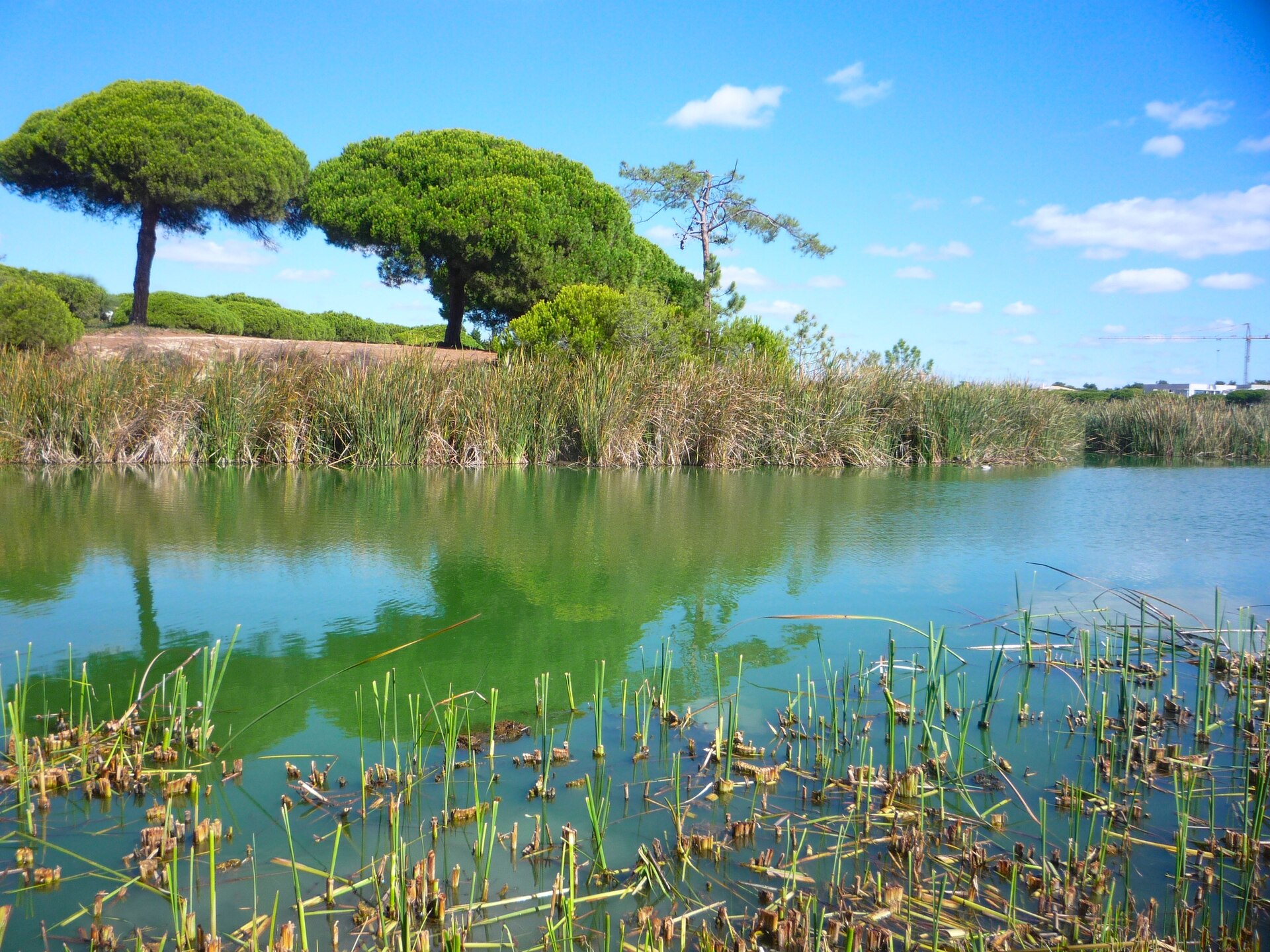
Nature park of 17,901 hectares in Portugal, established in 1978.
Overview
Nature park of 17,901 hectares in Portugal, established in 1978.
Ria Formosa Nature Park is located in Portugal (Europe). It covers both land and sea. Established in 1978, it covers about 17,901 hectares.
Protections and designations
Ramsar site
Natura 2000 · habitats (SAC)
- Ria Formosa / Castro Marim PTCON0013
Natura 2000 · birds (SPA)
- Ria Formosa PTZPE0017
Protected as a nature park. International labels and designations: Ramsar site (“Ria Formosa”) and Natura 2000 network (2 sites). Key dates: established in 1978, first Natura 2000 site under the Birds Directive in 1988 and first Natura 2000 site under the Habitats Directive in 2008.
In our collections
Timeline
-
1978
Established
-
1988
First Natura 2000 site under the Birds Directive
-
2008
First Natura 2000 site under the Habitats Directive
Sources: Wikidata (CC0) for establishment and international labels; EEA Natura 2000 database (CC-BY 4.0) for site designation dates.
Frequently asked questions
Where is Ria Formosa Nature Park?
In Portugal (Europe). Representative point: 37.0632° N, 7.7236° W.
How large is Ria Formosa Nature Park?
About 17,901 hectares (179 km²). It is the 11th largest of the 15 nature parks in Portugal covered by Parkavela. About 4,400 ha are at sea.
When was Ria Formosa Nature Park established?
In 1978.
What habitats and landscapes does Ria Formosa Nature Park include?
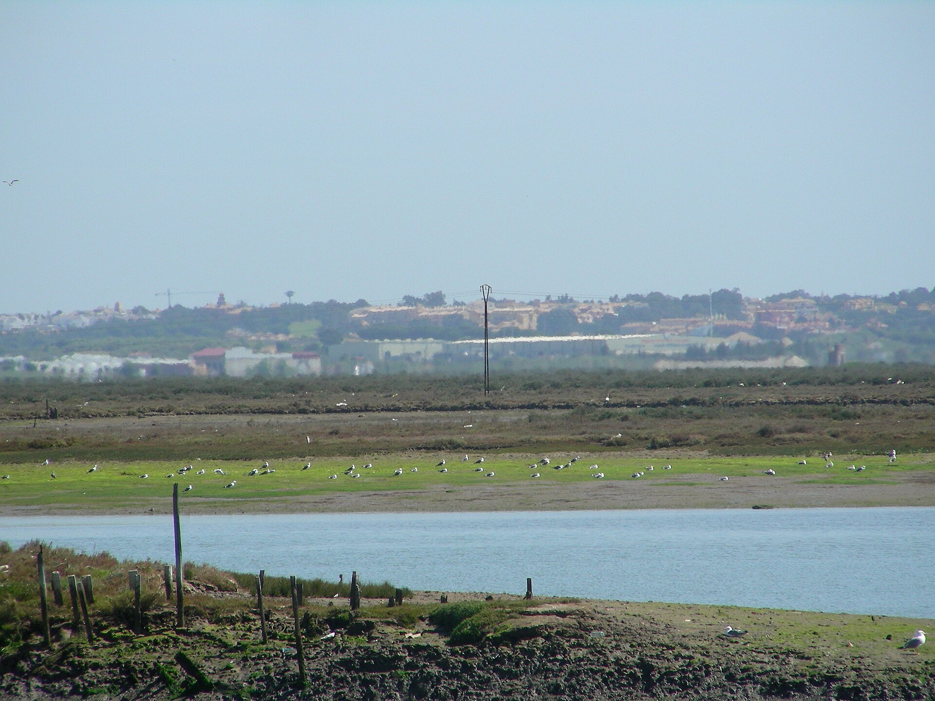
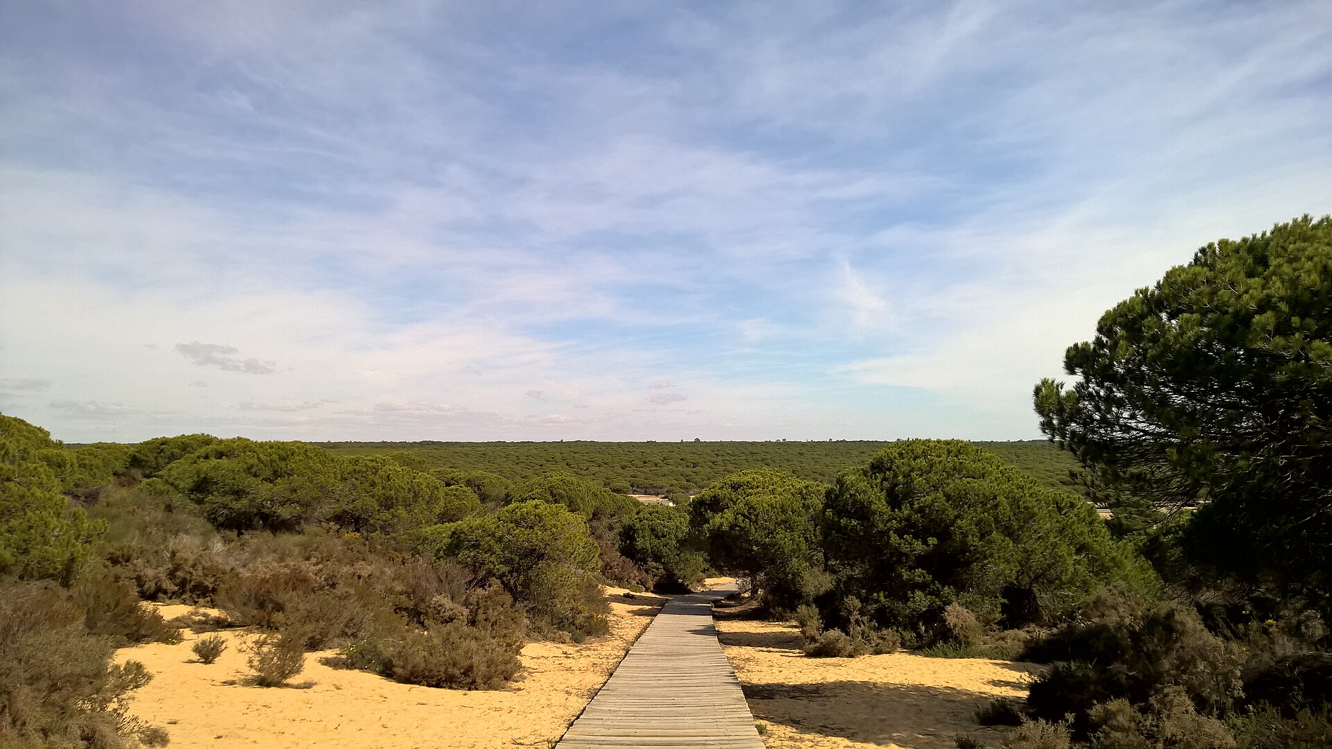
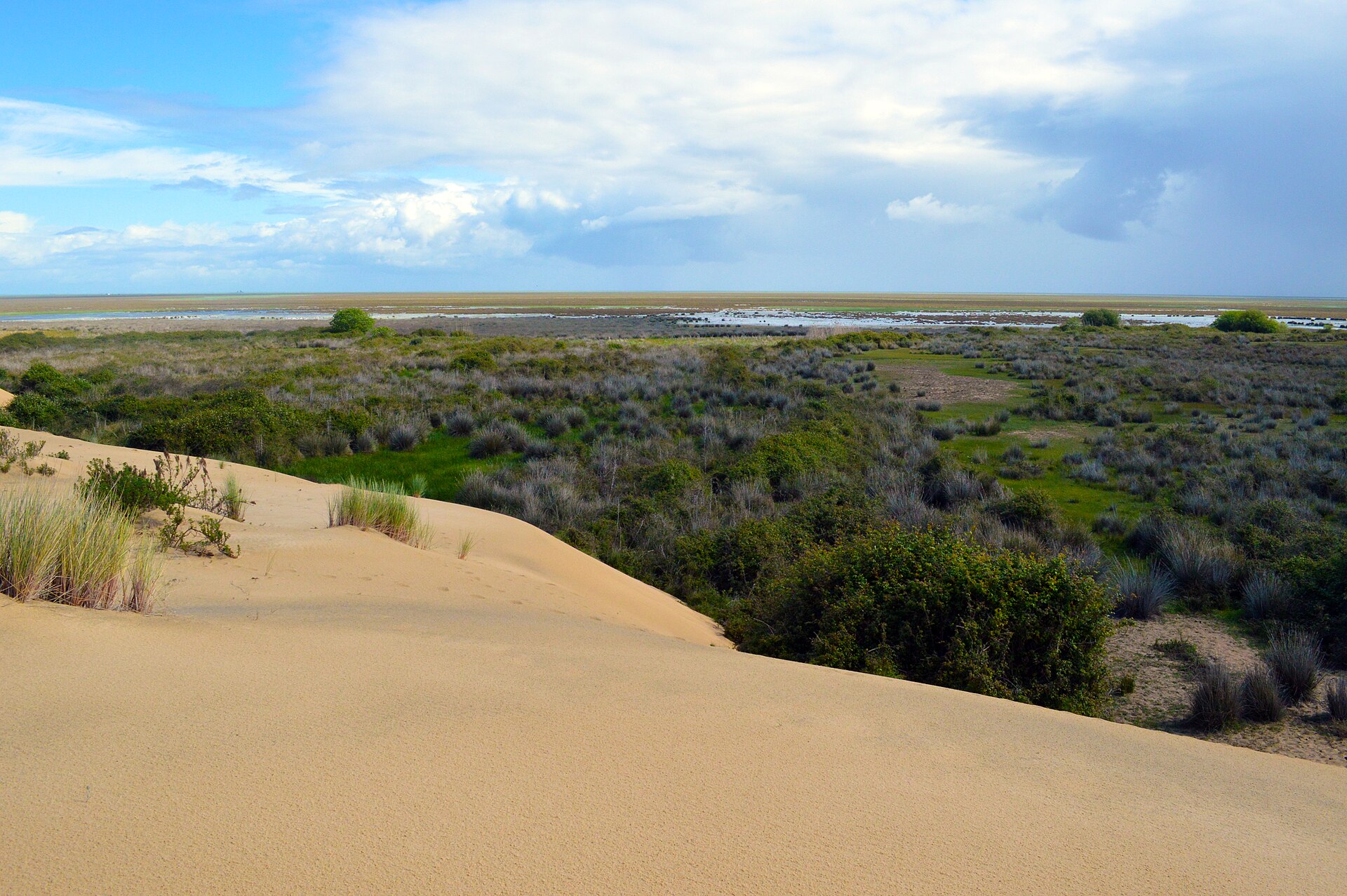
An area spanning land and sea, with wetlands and coasts.
What rocks lie beneath Ria Formosa Nature Park?
According to the European 1:1 million geological map (EGDI), the bedrock consists mainly of sands and gravels (71% of sampled points) and sandstones (14%). These are mostly sedimentary rocks. The geological units date mainly from the Quaternary (71% of sampled points).
Which international labels apply to Ria Formosa Nature Park?
Ramsar site (“Ria Formosa”) and Natura 2000 network (2 sites).
When is the best time to visit Ria Formosa Nature Park?
Best time to visit: from February to September, with average temperatures of 13 to 26 °C and moderate rainfall.
Are there historic monuments in Ria Formosa Nature Park?
Yes. According to Wikidata, 6 monuments classified as Portuguese cultural heritage (national monuments and properties of public interest) stand within the boundary. For example: “Atalaia quinhentista de Bias” in Moncarapacho e Fuseta, “Cacela Velha” in Vila Nova de Cacela and “Arraial Ferreira Neto” in Tavira (Santa Maria e Santiago).
Can you swim in Ria Formosa Nature Park?
20 monitored bathing sites lie in or within 1 km of the site; official 2025 classification: 20 excellent (European Environment Agency). Swimming is only permitted at the sites and times authorised locally.
What is the nearest airport to Ria Formosa Nature Park?
Nearest airport: Faro (FAO), less than 1 km away.
How can I reach Ria Formosa Nature Park by train?
Bom João railway station lies within the site.
Where can I get visitor information on site?
Centro de Educação Ambiental de Marim, Algarve - informação turística and Casa do Pároco.
Are there waymarked hiking trails in Ria Formosa Nature Park?
Yes. Waymarked hiking routes listed in OpenStreetMap: 9, including Caminho Português Central and Via Portugal Nascente. The “Via Portugal Nascente” route runs for about 13 km through the site, with some 70 m of ascent on its longest section.
Which species can be seen in Ria Formosa Nature Park?
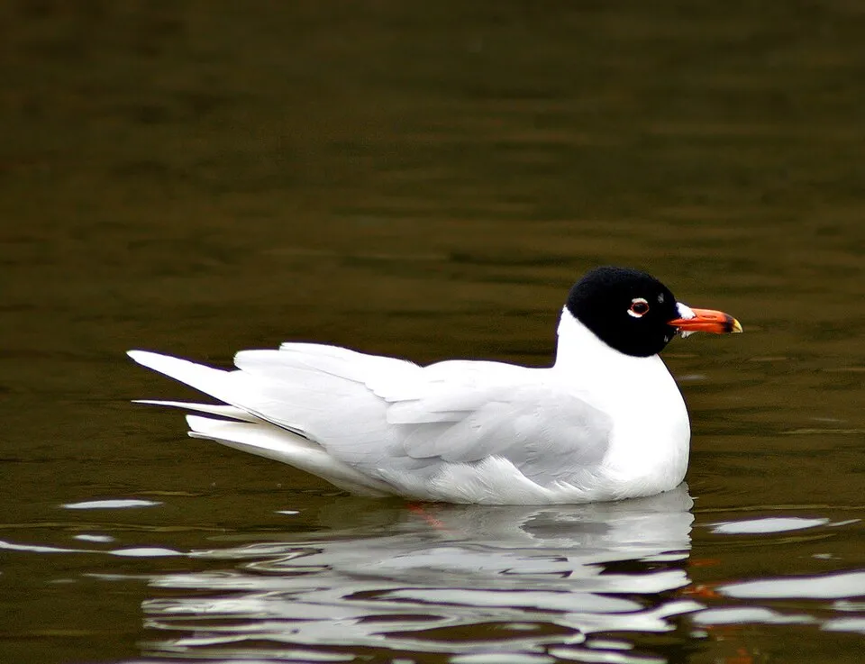
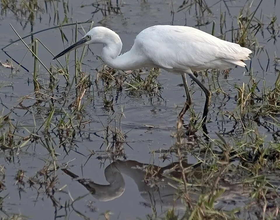
Among the species most often recorded on GBIF are Larus fuscus (Lesser Black-backed Gull), Ichthyaetus melanocephalus (Mediterranean Gull), Egretta garzetta (Little Egret) and Passer domesticus (House Sparrow).
© OpenStreetMap
Download the boundary: GeoJSON · GPX Boundary © OpenStreetMap contributors (ODbL).
Geography
The representative point of the site lies at around 3 m above sea level. Over the 1996–2025 period, the mean annual temperature is about 18.5 °C and total precipitation reaches roughly 476 mm per year. The warmest month is usually August, the coolest January, and the wettest December. According to the European 1:1 million geological map (EGDI), the bedrock consists mainly of sands and gravels (71% of sampled points) and sandstones (14%). These are mostly sedimentary rocks. The geological units date mainly from the Quaternary (71% of sampled points). The site contains 5 lakes larger than 10 ha, totalling 1.0 km² of water (HydroLAKES).
Area
- Area
- 17,901 ha
- Elevation
- 3 m
- Lakes over 10 ha
- 5 (1.0 km²)
- Coordinates
- 37.0632, -7.7236
Lakes: HydroLAKES (Messager et al. 2016, hydrosheds.org, CC BY 4.0) · depths: Wikidata (CC0)
Bedrock
- Sands and gravels 71 %
- Sandstones 14 %
- Limestones 7 %
- Conglomerates and breccias 7 %
Sedimentary rocks 100 % · Main age: Quaternary (71%)
Source: EGDI 1:1M geological map (EuroGeoSurveys and national geological surveys), CC BY 4.0 · 14 sampled points within the site.
Climate
● Mean temperature (°C) · ▮ Precipitation (mm)
Source: Copernicus ERA5-Land (C3S, doi:10.24381/cds.68d2bb30), monthly averages 1996–2025 interpolated to the representative point, temperatures adjusted for elevation.
Contains modified Copernicus Climate Change Service information 2026. Neither the European Commission nor ECMWF is responsible for any use that may be made of the Copernicus information or data it contains.
Natural habitats
According to CORINE Land Cover (2018), the land area is mainly made up of salt marshes and salt pans (48%), farmland (19%) and built-up or developed land (13%). The sea covers about 25% of the site. The land is almost flat (mean slope under 2°). The 2 Natura 2000 sites overlapping the area list 27 habitats of European interest (7 priority), the most extensive being large shallow inlets and bays, estuaries and Mediterranean and thermo-Atlantic halophilous scrubs (Sarcocornetea fruticosi).
Biodiversity
Based on occurrences aggregated by GBIF, several species are regularly recorded within the site. Among the most frequent are Larus fuscus (Lesser Black-backed Gull), Ichthyaetus melanocephalus (Mediterranean Gull), Egretta garzetta (Little Egret) and Passer domesticus (House Sparrow). The full list of documented taxa is shown below. The overlapping Natura 2000 sites list 146 species of European interest: 110 birds, 9 mammals, 5 reptiles, 6 amphibians, 3 fish, 2 invertebrates and 11 plants.
Habitats of European interest
From the official forms of the 2 Natura 2000 sites overlapping the area (areas reported for each whole site).
- Large shallow inlets and bays 9,864 ha
- Estuaries 9,159 ha
- Mediterranean and thermo-Atlantic halophilous scrubs (Sarcocornetea fruticosi) 4,010 ha
- Mudflats and sandflats not covered by seawater at low tide 3,682 ha
- Sandbanks which are slightly covered by sea water all the time 968 ha
- Fixed coastal dunes with herbaceous vegetation (‘grey dunes’) priority 672 ha
- Malcolmietalia dune grasslands 498 ha
- Coastal lagoons priority 180 ha
and 19 more
Species of European interest
Birds · 110
Great Reed Warbler (Acrocephalus arundinaceus) breeding, Aquatic warbler (Acrocephalus paludicola) passage, Sedge warbler (Acrocephalus schoenobaenus) passage, Eurasian Reed Warbler (Acrocephalus scirpaceus) breeding, Common Sandpiper (Actitis hypoleucos) wintering, Razorbill (Alca torda) wintering, Common Kingfisher (Alcedo atthis) wintering breeding, Northern Pintail (Anas acuta) wintering, Eurasian Teal (Anas crecca) wintering, Mallard (Anas platyrhynchos) wintering, Tawny Pipit (Anthus campestris) breeding wintering, Meadow Pipit (Anthus pratensis) wintering and 98 more
Mammals · 9
Serotine bat (Eptesicus serotinus), Common genet (Genetta genetta), Egyptian mongoose (Herpestes ichneumon), Eurasian otter (Lutra lutra), Western Polecat (Mustela putorius), Daubenton's bat (Myotis daubentonii), Greater noctule bat (Nyctalus lasiopterus), Lesser noctule (Nyctalus leisleri), Kuhl's pipistrelle (Pipistrellus kuhlii)
Reptiles · 5
Bedriaga's skink (Chalcides bedriagai), Common chameleon (Chamaeleo chamaeleon), European Pond Turtle (Emys orbicularis), Horseshoe Whip Snake (Hemorrhois hippocrepis), Iberian pond turtle (Mauremys leprosa)
Amphibians · 6
Iberian painted frog (Discoglossus galganoi), Natterjack toad (Epidalea calamita), Stripeless tree frog (Hyla meridionalis), Western Spadefoot (Pelobates cultripes), Perez's Frog (Pelophylax perezi), Marbled newt (Triturus marmoratus)
Invertebrates · 2
Wingless mantis (Apteromantis aptera), Marsh fritillary (Euphydryas aurinia)
Plants · 11
Armeria velutina, Limonium lanceolatum, Linaria algarviana, Malcolmia lacera subsp. gracilima, Melilotus segetalis subsp. fallax, Petticoat daffodil (Narcissus bulbocodium), Picris willkommii, Scilla odorata, Portuguese Thyme (Thymus carnosus), Thymus lotocephalus, Tuberaria major
Source: Natura 2000 standard data forms (EEA, CC-BY 4.0). Not exhaustive: sensitive species are not published.
Species to look out for
Bird
Mediterranean Gull
Ichthyaetus melanocephalus14,414 records © Martin Olsson (mnemo) · CC BY-SA 3.0



Observed species
Occurrences documented via GBIF; they are neither an exhaustive inventory nor proof of current presence.
- Lesser Black-backed Gull · Larus fuscus · 21399
- Mediterranean Gull · Ichthyaetus melanocephalus · 14414
- Little Egret · Egretta garzetta · 13589
- House Sparrow · Passer domesticus · 13084
- Sardinian Warbler · Curruca melanocephala · 12378
- Yellow-legged Gull · Larus michahellis · 12186
- Common Redshank · Tringa totanus · 10822
- Common Blackbird · Turdus merula · 9854
- Black-winged Stilt · Himantopus himantopus · 9817
- Black-headed Gull · Chroicocephalus ridibundus · 9667
- Dunlin · Calidris alpina · 9274
- Crested Lark · Galerida cristata · 9172
+18 more species
- Grey Heron · Ardea cinerea · 9168
- Common Ringed Plover · Charadrius hiaticula · 8994
- White stork · Ciconia ciconia · 8915
- Eurasian Collared Dove · Streptopelia decaocto · 8601
- Eurasian Spoonbill · Platalea leucorodia · 8592
- Mallard · Anas platyrhynchos · 8582
- Great Cormorant · Phalacrocorax carbo · 8523
- Barn Swallow · Hirundo rustica · 8388
- Greater Flamingo · Phoenicopterus roseus · 8275
- Ruddy Turnstone · Arenaria interpres · 8213
- Eurasian Magpie · Pica pica · 8165
- Zitting Cisticola · Cisticola juncidis · 8162
- Grey Plover · Pluvialis squatarola · 7954
- European Goldfinch · Carduelis carduelis · 7634
- Common Sandpiper · Actitis hypoleucos · 7623
- Eurasian Whimbrel · Numenius phaeopus · 7467
- Iberian Magpie · Cyanopica cooki · 7453
- Spotless Starling · Sturnus unicolor · 7339
Records: GBIF.org (CC-BY). Names: Wikidata (CC0), GBIF. Photos: Wikimedia Commons.
Conservation challenges
The primary purpose of the site is to preserve its natural habitats and the biodiversity they support. The species recorded (Biodiversity tab) reflect its ecological value. The designations it holds frame its management and the control of land use.
According to Global Forest Change data (University of Maryland, Global Forest Watch), about 202 ha of tree cover were lost within the boundary between 2001 and 2023 (1% of its area), peaking in 2003 and 2018. These losses include logging, storms and fires, and do not account for regrowth. According to the European CORINE Land Cover inventory (Copernicus), land cover changed on about 959 ha of the site between 1990 and 2018 (7% of its area): built-up land grew by 544 ha, mostly at the expense of farmland, while farmland shrank by 533 ha, mostly giving way to built-up land. Forest felling and regrowth add about 250 ha in total over the period. Since 2016, the European EFFIS system (Copernicus) has mapped 2 fires here, burning about 695 ha within the boundary; the largest, in July 2022 (near Almancil), covered 623 ha. At night, 88% of the area gives off artificial light detectable from space (NASA VIIRS Black Marble composite, 2016). Built-up and developed land (buildings, business areas, roads, quarries) covers 10% of the area, and farmland 15% (CORINE Land Cover). According to the Natura 2000 forms, of 25 assessed habitats of European interest, 11 are in excellent condition and the rest in good condition. According to the Water Framework Directive assessment (2022 river basin management plans, data 2014–2019), 78% of the 14 km of rivers assessed within the site are in good or high ecological status. Other assessed water bodies: coastal waters, 4 of 6 in good ecological status or better. Since 2000, 25 invasive alien species have been recorded within the site (GBIF observations), 5 of them listed as of Union concern under EU Regulation 1143/2014. Among them: Acacia saligna (Orange wattle), Trachemys scripta (Pond slider) and Threskiornis aethiopicus (African Sacred Ibis).
Pressure indicators
Tree cover lost
202 ha
2001–2023 · 1% of the area
20012023
Fires since 2016
695 ha
burned within the boundary (2 mapped fires)
- 2022 · Almancil · 623 ha
- 2022 · Almancil · 72 ha
Light at night
88%
of the area gives off artificial light visible from space
DarkLit
Built-up land
10%
buildings, business areas, roads, quarries · farmland 15%
Land cover change
959 ha
changed cover, 1990–2018 · CORINE · 7% of the area
- +544 ha · built-up land
- −533 ha · farmland
forest felling and regrowth: 250 ha in total
Rivers and lakes
78%
of the 14 km of assessed rivers in good or high ecological status · WFD 2022
Coastal waters: 4 of 6 good or better
assessments 2014–2019
Invasive alien species
25
incl. 5 of EU concern · since 2000
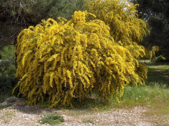 Orange wattleEU
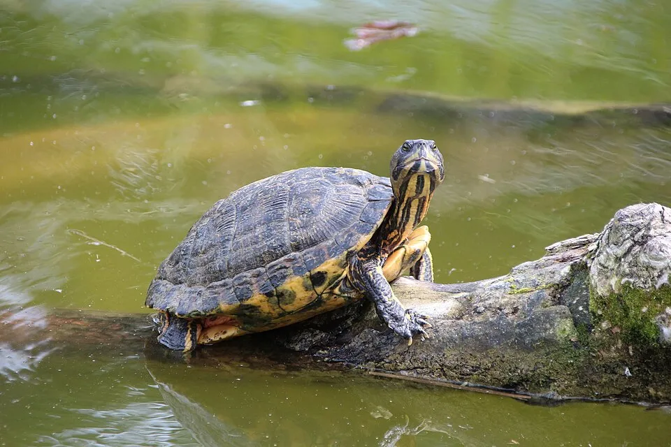 Pond sliderEU
 African Sacred IbisEU
 Egyptian GooseEU
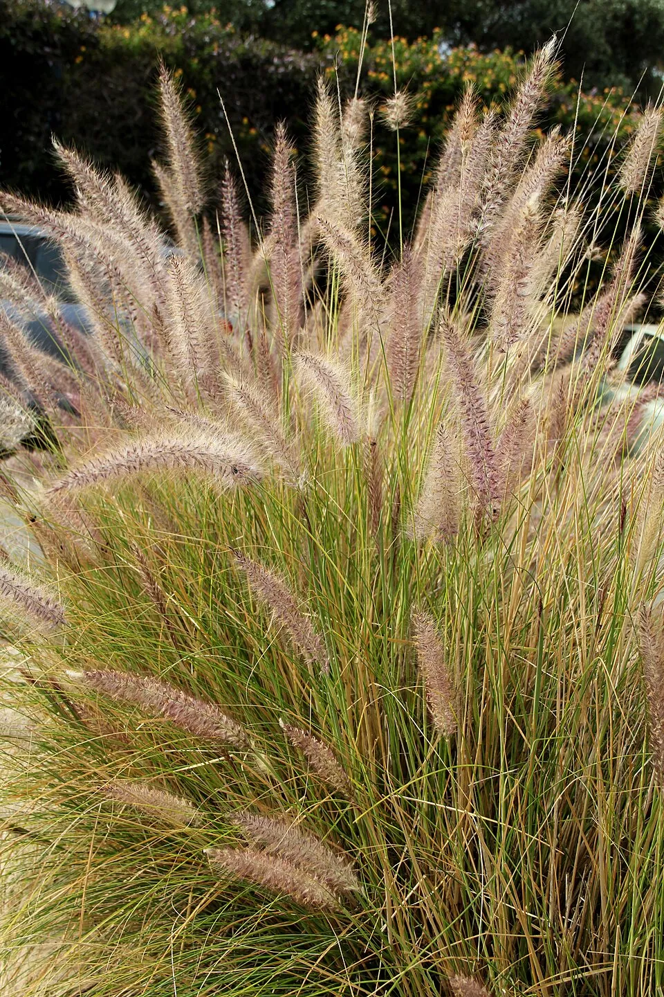 Crimson FountaingrassEU
 Bermuda buttercup
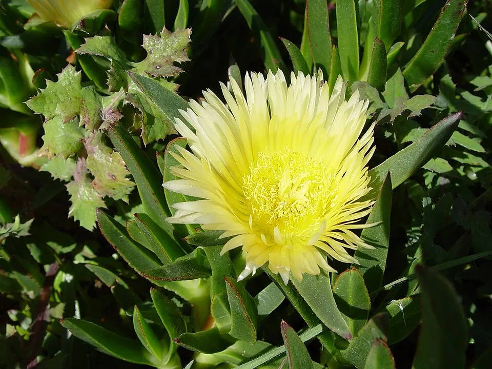 Hottentot-fig
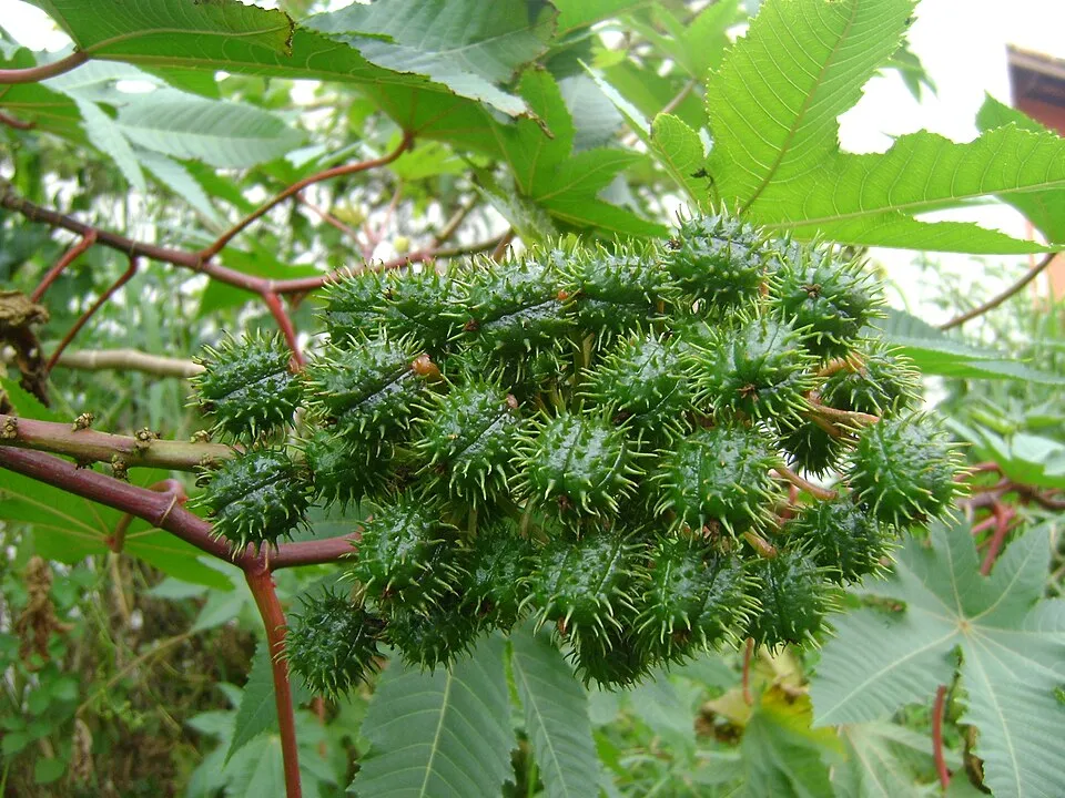 Castor oil plant
Photos: Orange wattle © JoJan · CC BY-SA 3.0; Pond slider © Viva.Chelonia · CC BY 2.0; African Sacred Ibis © Steve Garvie from Dunfermline, Fife, Scotland · CC BY-SA 2.0; Egyptian Goose © Rhododendrites · CC BY-SA 4.0; Crimson Fountaingrass © Lazaregagnidze · CC BY-SA 4.0; Bermuda buttercup © MathKnight and Zachi Evenor אביר המתמטיקה וצחי אבנור · CC BY-SA 4.0; Hottentot-fig © Taken by Carsten Niehaus (user:Lumbar). · CC BY-SA 3.0; Castor oil plant © Onjacktallcuca · Public domain
Sources: Global Forest Change (Hansen et al., University of Maryland, via Global Forest Watch, CC-BY 4.0); EFFIS, European Commission / Copernicus; NASA Black Marble 2016 (public domain); CORINE Land Cover 2018 (Copernicus) or MODIS.
CORINE Land Cover Change 1990–2018: generated using European Union's Copernicus Land Monitoring Service information (EEA), aggregated by Parkavela; DOI 10.2909/f30f1000-7cf8-43bb-872c-5eb093911b24.
Ecological status of water bodies: European Environment Agency, WISE – Water Framework Directive, 3rd river basin management plans (2022), CC BY 4.0. Official national classification, not comparable between countries.
Invasive alien species: Global Register of Introduced and Invasive Species (ISSG, CC BY 4.0); Union list, Regulation (EU) 1143/2014 (INBO, CC0); GBIF.org records (CC0 / CC BY 4.0), at least 2 per species.
Practical information
Cities and airport
- Airport: Faro (FAO)
< 1 km as the crow flies
Visitor information
- Centro de Educação Ambiental de Marim
within the site - Algarve - informação turística
within the site - Casa do Pároco
within the site - Posto de turismo Faro
< 1 km from the site boundary
Hiking
9 waymarked routes listed, including:
Caminho Português CentralVia Portugal Nascente
By bike
EV1 · 49 km
Signed cycle routes: this does not mean that cycling is allowed on footpaths.
Wheelchair access
- Observatorio de aves
bird hide · partial access
accessible toilets: 10
Reported by OpenStreetMap contributors (ODbL); check with the park before visiting.
Data © OpenStreetMap contributors (ODbL) · Wikidata (CC0)
Contains information from EuroVelo GPX tracks downloaded from www.EuroVelo.com on 2026-10-22, which is made available here under the Open Database License (ODbL). EuroVelo® is a registered trademark of the ECF. Routes © OpenStreetMap contributors (ODbL), via Waymarked Trails
Waymarked hiking routes
Percurso do Centro de Educação Ambiental de Marim
2.8 km within the site ↗ 6 m↘ 6 m 3–12 m
Tracks © OpenStreetMap contributors (ODbL), clipped to the boundary; elevation gain and profiles computed on the longest section from Mapzen Terrain Tiles (≈ 30 m), indicative only.
Bathing
20 monitored bathing sites in or within 1 km of the site · 2025 classification
Excellent · 20
- Ancão · sea · Excellent
- Armona-Mar · sea · Excellent
- Armona-Ria · sea · Excellent
- Barreta · sea · Excellent
- Barril · sea · Excellent
- Cabanas-Mar · sea · Excellent
- Cavacos · sea · Excellent
- Culatra-Mar · sea · Excellent
- Faro-Mar · sea · Excellent
- Fuseta-Mar · sea · Excellent
and 10 more
Source: European Environment Agency, official bathing water classification (Directive 2006/7/EC, CC-BY 4.0). Swimming is only permitted at the sites and times authorised locally.
Access and visiting
Bom João railway station lies within the site. Nearest airport: Faro (FAO), less than 1 km away. About 290,000 people live within 20 km of the site boundary, 200,000 of them within 10 km; some 19,000 people are estimated to live inside (GHSL estimate, 2020). This population has grown by about 18% since 2000. Visitor information on site: Centro de Educação Ambiental de Marim, Algarve - informação turística and Casa do Pároco. Waymarked hiking routes listed in OpenStreetMap: 9, including Caminho Português Central and Via Portugal Nascente. The EuroVelo 1 cycle route (Atlantic Coast Route) crosses the site for about 49 km, mostly developed and signed (EuroVelo). OpenStreetMap contributors list 2 wheelchair-accessible places; check with the park before visiting. To plan a visit (access, opening periods, visitor rules), it is best to consult the official information from the managing body and the official website listed in this page's sources.
Source: OpenStreetMap (ODbL), Wikidata (CC0), October 2026.
Built heritage
According to Wikidata, 6 monuments classified as Portuguese cultural heritage (national monuments and properties of public interest) stand within the boundary. Among them are 3 castles and fortifications, 1 bridge, lighthouse, mill or working building and 1 house or civic building. Examples include “Atalaia quinhentista de Bias” in Moncarapacho e Fuseta, “Cacela Velha” in Vila Nova de Cacela and “Arraial Ferreira Neto” in Tavira (Santa Maria e Santiago).
3 castles and fortifications1 bridge, lighthouse, mill or working building1 house or civic building
-
Atalaia quinhentista de Bias
Moncarapacho e Fuseta -
Cacela Velha
Vila Nova de Cacela -
Arraial Ferreira Neto
Tavira (Santa Maria e Santiago) -
Estação Arqueológica Romana da Luz
Luz de Tavira e Santo Estêvão -
Fortaleza de Santo António de Tavira
Tavira (Santa Maria e Santiago) -
Forte de São João da Barra
Conceição e Cabanas de Tavira
Source: Wikidata (CC0), monuments in each country’s official heritage protection registers, at national or regional level. Each item links to its Wikidata entry.
When to visit
Best time to visit: from February to September, with average temperatures of 13 to 26 °C and moderate rainfall. Day length ranges from about 9 h 38 min in December to 14 h 42 min in June. Wildlife records published on GBIF peak for birds (September and October), plants (from March to May), butterflies and moths (from March to May), dragonflies (from July to October) and mammals (February and March). These peaks also reflect when observers are most active.
Source: Copernicus ERA5-Land (C3S), monthly averages 1996–2025 at the representative point, temperatures adjusted for elevation.
Contains modified Copernicus Climate Change Service information 2026. Neither the European Commission nor ECMWF is responsible for any use that may be made of the Copernicus information or data it contains.
Wildlife records calendar
JFMAMJJASOND
Birds
Plants
Butterflies & moths
Dragonflies
Mammals
Monthly records published on GBIF (CC-BY), relative to the busiest month; also reflects observer activity.
Gallery
© Natalia · CC BY 2.0
© Florent Tavira · CC BY-SA 4.0
© Franzbehrmann · CC BY-SA 4.0
© o_andras · CC BY-SA 4.0
© o_andras · CC BY-SA 4.0
© Xequemat · CC BY-SA 4.0
Sources and licences
- Wikidata: Q61715781
- OpenStreetMap: relation 9749447
- Wikipedia: en.wikipedia.org/wiki/Ria_Formosa_Natural_Park
- WDPA: 4724
References
- cds.climate.copernicus.eu: climate · CC-BY-4.0
- registry.opendata.aws: elevation of the reference point, detailed relief · PD
- land.copernicus.eu: land cover, land cover change, sea share · COPERNICUS
- doi.org: population around the site · CC-BY-4.0
- wikidata.org: official area, establishment date, protected heritage, nearby cities and airport, access and peaks, lake depths, places to see · CC0-1.0
- eea.europa.eu: bathing water quality, ecological status of waters · CC-BY-4.0
- en.eurovelo.com: EuroVelo cycle routes · ODbL-1.0
- cycling.waymarkedtrails.org: cycle routes · ODbL-1.0
- opentopodata.org: elevations · PD
- forest-fire.emergency.copernicus.eu: wildfires · COPERNICUS
- globalforestwatch.org: tree cover loss · CC-BY-4.0
- gbif.org: seasonality of sightings, invasive alien species, observed species · CC-BY-4.0
- europe-geology.eu: geology · CC-BY-4.0
- hydrosheds.org: lakes · CC-BY-4.0
- natura2000.eea.europa.eu: Natura 2000 habitats and species · CC-BY-4.0
- openstreetmap.org: official name, access and peaks, trail difficulty, wheelchair access · ODbL-1.0
- earthobservatory.nasa.gov: night light · PD
- hiking.waymarkedtrails.org: route difficulty · ODbL-1.0
- nsidc.org: snow cover · PD
- wikidata.org: Wikipedia article · CC-BY-SA-4.0
Data © OpenStreetMap contributors (ODbL), Wikidata (CC0) and the sources cited.