
Austria · Terrestrial
Danube-Auen National Park
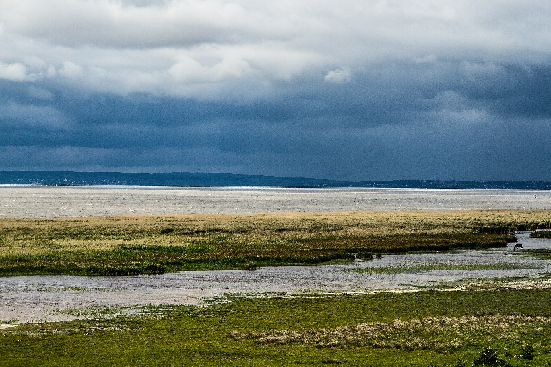
National park of 9,300 hectares in Austria, established in 1996.
Overview
National park of 9,300 hectares in Austria, established in 1996.
Danube-Auen National Park is located in Austria (Europe). It is a predominantly terrestrial area. Established on 27 October 1996, it covers about 9,300 hectares.
Protections and designations
Natura 2000 · habitats (SAC) · 2 sites
- Donau-Auen östlich von Wien AT1204000
- Nationalpark Donau-Auen (Wiener Teil) AT1301000
Natura 2000 · birds (SPA) · 2 sites
- Donau-Auen östlich von Wien AT1204V00
- Nationalpark Donau-Auen (Wiener Teil) AT1301000
Protected as a national park. International labels and designations: Natura 2000 network (3 sites). Key dates: first Natura 2000 site under the Birds Directive in 1995, established in 1996 and first Natura 2000 site under the Habitats Directive in 2007.
In our collections
Timeline
-
1995
First Natura 2000 site under the Birds Directive 2 such sites designated up to 1996
-
1996
Established
-
2007
First Natura 2000 site under the Habitats Directive 2 such sites designated up to 2011
Sources: Wikidata (CC0) for establishment and international labels; EEA Natura 2000 database (CC-BY 4.0) for site designation dates.
Frequently asked questions
Where is Danube-Auen National Park?
In Austria (Europe). Representative point: 48.1101° N, 16.7922° E.
How large is Danube-Auen National Park?
About 9,300 hectares (93 km²). It is the 5th largest of the 6 national parks in Austria covered by Parkavela.
When was Danube-Auen National Park established?
On 27 October 1996.
What habitats and landscapes does Danube-Auen National Park include?
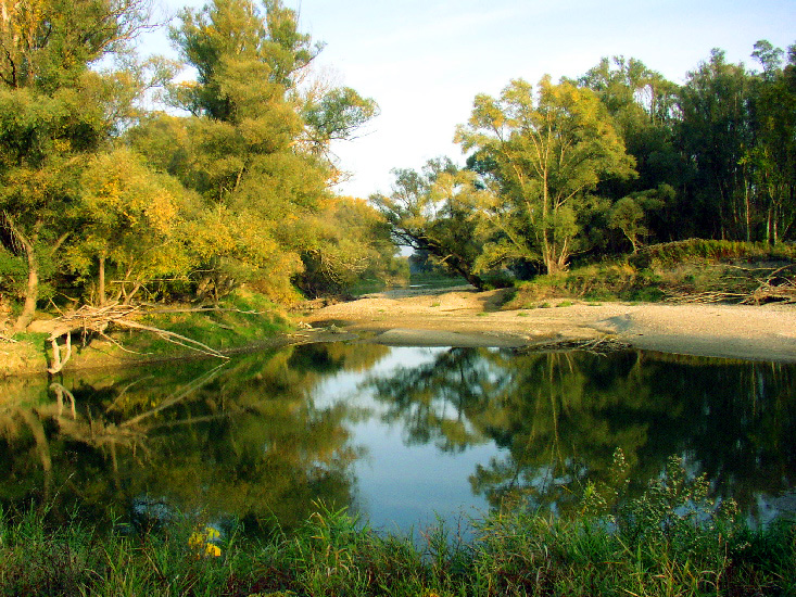
A terrestrial area, with forests.
What rocks lie beneath Danube-Auen National Park?
According to the European 1:1 million geological map (EGDI), the bedrock consists mainly of clastic sedimentary rocks (100% of sampled points). These are mostly sedimentary rocks. The geological units date mainly from the Neogene (100% of sampled points).
Which international labels apply to Danube-Auen National Park?
Natura 2000 network (3 sites).
When is the best time to visit Danube-Auen National Park?
Mildest period: from June to August, with average temperatures of 19 to 22 °C.
Are there historic monuments in Danube-Auen National Park?
Yes. According to Wikidata, 8 monuments listed as protected monuments in Austria stand within the boundary. For example: “Schloss Eckartsau” in Eckartsau, “Forsthaus, Hofjägerhaus” in Donaustadt and “Gedenkstein Franzosenfriedhof” in Donaustadt.
Can you swim in Danube-Auen National Park?
3 monitored bathing sites lie in or within 1 km of the site; official 2025 classification: 3 excellent (European Environment Agency). Swimming is only permitted at the sites and times authorised locally.
What is the nearest large city to Danube-Auen National Park?
Nearest towns of over 50,000 people, as the crow flies: Vienna (7 km) and Bratislava (10 km). Nearest airport: Wien-Schwechat (VIE), about 2 km away.
How can I reach Danube-Auen National Park by train?
The nearest railway station is Hainburg an der Donau Personenbf, less than 1 km from the site boundary.
Where can I get visitor information on site?
Tourismus- und Gästeinformationsbüro Hainburg, Schloss Orth Nationalparkzentrum und Museum and Tourismusbüro Carnuntum Marchfeld.
Are there waymarked hiking trails in Danube-Auen National Park?
Yes. Waymarked hiking routes listed in OpenStreetMap: 30, including E 4, E 8, ST14 Petronell-Carnuntum and Jakobsweg Wolfsthal-Schwechat. The “Europäischer Fernwanderweg E4 (Wien - Rattersdorf)” route runs for about 38 km through the site.
Which species can be seen in Danube-Auen National Park?
Among the species most often recorded on GBIF are Populus nigra (Black Poplar), Vitis gmelinii, Parus major (Great tit) and Dendrocopos major (Great Spotted Woodpecker).
What is the official website of Danube-Auen National Park?
© OpenStreetMap
Download the boundary: GeoJSON · GPX Boundary © OpenStreetMap contributors (ODbL).
Geography
The representative point of the site lies at around 185 m above sea level. Over the 1996–2025 period, the mean annual temperature is about 11.0 °C and total precipitation reaches roughly 641 mm per year. The warmest month is usually July, the coolest January, and the wettest July. According to the European 1:1 million geological map (EGDI), the bedrock consists mainly of clastic sedimentary rocks (100% of sampled points). These are mostly sedimentary rocks. The geological units date mainly from the Neogene (100% of sampled points).
Area
- Area
- 9,300 ha
- Elevation
- 185 m
- Coordinates
- 48.1101, 16.7922
Bedrock
- Clastic sedimentary rocks 100 %
Sedimentary rocks 100 % · Main age: Neogene (100%)
Source: EGDI 1:1M geological map (EuroGeoSurveys and national geological surveys), CC BY 4.0 · 16 sampled points within the site.
Climate
● Mean temperature (°C) · ▮ Precipitation (mm)
Source: Copernicus ERA5-Land (C3S, doi:10.24381/cds.68d2bb30), monthly averages 1996–2025 interpolated to the representative point, temperatures adjusted for elevation.
Contains modified Copernicus Climate Change Service information 2026. Neither the European Commission nor ECMWF is responsible for any use that may be made of the Copernicus information or data it contains.
Snow cover measured by satellite
J
F
M
A
M
J
J
A
S
O
N
D
average share of the site under snow · snowiest parts · ≈ 15 days a year
Snow cover: MODIS/Terra MOD10CM v61 (Hall & Riggs, 2021, NASA NSIDC DAAC, doi:10.5067/MODIS/MOD10CM.061), imagery from NASA GIBS (ESDIS); 2015–2025 average, grid of about 5 km.
Natural habitats
According to CORINE Land Cover (2018), the site is mainly made up of forests (67%), lakes and rivers (15%) and farmland (12%). Woodland is mostly broadleaved. The land is almost flat (mean slope under 2°). The 3 Natura 2000 sites overlapping the area list 25 habitats of European interest (8 priority), the most extensive being riparian mixed forests of Quercus robur, Ulmus laevis and Ulmus minor, Fraxinus excelsior or Fraxinus angustifolia, along the great rivers (Ulmenion minoris), alluvial forests with Alnus glutinosa and Fraxinus excelsior (Alno-Padion, Alnion incanae, Salicion albae) and lowland hay meadows (Alopecurus pratensis, Sanguisorba officinalis).
Biodiversity
Based on occurrences aggregated by GBIF, several species are regularly recorded within the site. Among the most frequent are Populus nigra (Black Poplar), Vitis gmelinii, Parus major (Great tit) and Dendrocopos major (Great Spotted Woodpecker). The full list of documented taxa is shown below. The overlapping Natura 2000 sites list 173 species of European interest: 92 birds, 26 mammals, 6 reptiles, 8 amphibians, 19 fish, 19 invertebrates and 3 plants.
Habitats of European interest
From the official forms of the 3 Natura 2000 sites overlapping the area (areas reported for each whole site).
- Riparian mixed forests of Quercus robur, Ulmus laevis and Ulmus minor, Fraxinus excelsior or Fraxinus angustifolia, along the great rivers (Ulmenion minoris) 3,709 ha
- Alluvial forests with Alnus glutinosa and Fraxinus excelsior (Alno-Padion, Alnion incanae, Salicion albae) priority 1,496 ha
- Lowland hay meadows (Alopecurus pratensis, Sanguisorba officinalis) 378 ha
- Semi-natural dry grasslands and scrubland facies on calcareous substrates (Festuco-Brometalia) (* important orchid sites) 252 ha
- Natural eutrophic lakes with Magnopotamion or Hydrocharition-type vegetation 247 ha
- Tilio-Acerion forests of slopes, screes and ravines priority 138 ha
- Sub-Pannonic steppic grasslands priority 42 ha
- Alluvial meadows of river valleys of the Cnidion dubii 39 ha
and 17 more
Species of European interest
Birds · 92
Great Reed Warbler (Acrocephalus arundinaceus) breeding, Moustached Warbler (Acrocephalus melanopogon) passage, Marsh Warbler (Acrocephalus palustris) breeding passage, Eurasian Reed Warbler (Acrocephalus scirpaceus) breeding, Common Sandpiper (Actitis hypoleucos) passage breeding, Common Kingfisher (Alcedo atthis) resident, Eurasian Teal (Anas crecca) passage wintering breeding, European White-fronted Goose (Anser albifrons albifrons) wintering, Greylag Goose (Anser anser) passage, Taiga bean goose (Anser fabalis) wintering, Eastern Imperial Eagle (Aquila heliaca) breeding, Great Egret (Ardea alba) wintering passage and 80 more
Mammals · 26
Barbastelle (Barbastella barbastellus), Eurasian Beaver (Castor fiber), Northern Bat (Eptesicus nilssonii), Serotine bat (Eptesicus serotinus), Savi's Pipistrelle (Hypsugo savii), Eurasian otter (Lutra lutra), Steppe Polecat (Mustela eversmanii), Alcathoe Whiskered Bat (Myotis alcathoe), Bechstein's bat (Myotis bechsteinii), Lesser mouse-eared myotis (Myotis blythii), Brandt's Bat (Myotis brandtii), Daubenton's bat (Myotis daubentonii) and 14 more
Reptiles · 6
Smooth snake (Coronella austriaca), European Pond Turtle (Emys orbicularis), Sand lizard (Lacerta agilis), Green lizard (Lacerta viridis), Dice snake (Natrix tessellata), Aesculapian Snake (Zamenis longissima)
Amphibians · 8
European fire-bellied toad (Bombina bombina), Common tree frog (Hyla arborea), Common Spadefoot (Pelobates fuscus), Water Frogs (Pelophylax spp.), Moor frog (Rana arvalis), Agile frog (Rana dalmatina), Common frog (Rana temporaria), Danube Crested Newt (Triturus dobrogicus)
Fish · 19
Sterlet (Acipenser ruthenus), Asp (Aspius aspius), Barbel (Barbus barbus), Spined Loach (Cobitis taenia Complex), European bullhead (Cottus gobio), Balon's ruffe (Gymnocephalus baloni), Striped Ruffe (Gymnocephalus schraetzer), Huchen (Hucho hucho), Weatherfish (Misgurnus fossilis), Ziege (Pelecus cultratus), European bitterling (Rhodeus amarus), Danube Gudgeon (Romanogobio uranoscopus) and 7 more
Invertebrates · 19
Lesser Ramshorn Snail (Anisus vorticulus), Bolbelasmus unicornis, Greater Capricorn Beetle (Cerambyx cerdo), Cucujus cinnaberinus, Eastern Eggar (Eriogaster catax), Scarce Fritillary (Euphydryas maturna), Jersey Tiger (Euplagia quadripunctaria), Yellow-legged dragonfly (Gomphus flavipes), Water beetle (Graphoderus bilineatus), Yellow-spotted Whiteface (Leucorrhinia pectoralis), Lignyoptera fumidaria, Stag beetle (Lucanus cervus) and 7 more
Plants · 3
Creeping marshwort (Apium repens), Dianthus lumnitzeri, Greater Pasque Flower (Pulsatilla grandis)
Source: Natura 2000 standard data forms (EEA, CC-BY 4.0). Not exhaustive: sensitive species are not published.
Species to look out for


Bird
Great Spotted Woodpecker
Dendrocopos major474 records © Sławomir Staszczuk (info [AT] photoss.net) · CC BY-SA 3.0

Observed species
Occurrences documented via GBIF; they are neither an exhaustive inventory nor proof of current presence.
- Black Poplar · Populus nigra · 923
- Vitis gmelinii · 730
- Great tit · Parus major · 558
- Great Spotted Woodpecker · Dendrocopos major · 474
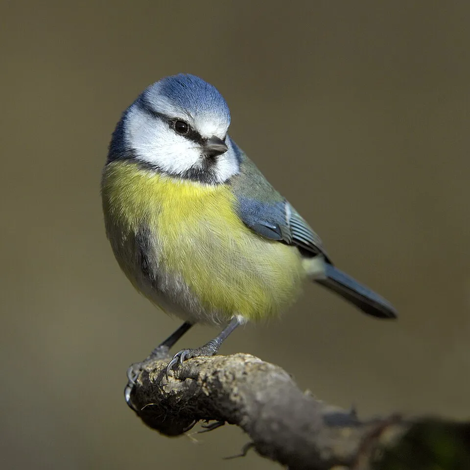
- Eurasian blue tit · Cyanistes caeruleus · 427
- Mallard · Anas platyrhynchos · 404
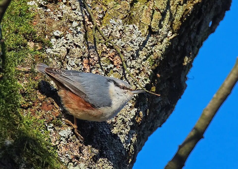
- Eurasian Nuthatch · Sitta europaea · 394
- Hooded Crow · Corvus cornix · 363
- Eurasian Chaffinch · Fringilla coelebs · 363
- Common Blackbird · Turdus merula · 352
- Mute Swan · Cygnus olor · 339
- Common Wood Pigeon · Columba palumbus · 320
+18 more species
- Eurasian Blackcap · Sylvia atricapilla · 308
- Creeping Bent · Agrostis stolonifera · 267
- Canada poplar · Populus canadensis · 259
- European Goldfinch · Carduelis carduelis · 254
- Long-tailed Tit · Aegithalos caudatus · 254
- European Green Woodpecker · Picus viridis · 252
- Common Chiffchaff · Phylloscopus collybita · 251
- Dewberry · Rubus caesius · 245
- Dogwood · Cornus sanguinea · 234
- White willow · Salix alba · 233
- Ashleaf maple · Acer negundo · 232
- Grey Heron · Ardea cinerea · 230
- Black Woodpecker · Dryocopus martius · 226
- European robin · Erithacus rubecula · 211
- Marsh Tit · Poecile palustris · 208
- Song Thrush · Turdus philomelos · 208
- Great Cormorant · Phalacrocorax carbo · 205
- Common Starling · Sturnus vulgaris · 205
Records: GBIF.org (CC-BY). Names: Wikidata (CC0), GBIF. Photos: Wikimedia Commons.
Conservation challenges
The primary purpose of the site is to preserve its natural habitats and the biodiversity they support. The species recorded (Biodiversity tab) reflect its ecological value. The designations it holds frame its management and the control of land use.
According to Global Forest Change data (University of Maryland, Global Forest Watch), about 251 ha of tree cover were lost within the boundary between 2001 and 2023 (3% of its area). These losses include logging, storms and fires, and do not account for regrowth. According to CORINE Land Cover, land cover here remained almost unchanged between 1990 and 2018 (less than 0.5% of the area affected). At night, 43% of the area gives off artificial light detectable from space (NASA VIIRS Black Marble composite, 2016). Built-up and developed land (buildings, business areas, roads, quarries) covers 2% of the area, and farmland 12% (CORINE Land Cover). According to the Natura 2000 forms, of 19 assessed habitats of European interest, 4 are in excellent condition and 2 in average or reduced condition. According to the Water Framework Directive assessment (2022 river basin management plans, data 2016–2021), 70% of the 101 km of rivers assessed within the site are in good or high ecological status. Since 2000, 46 invasive alien species have been recorded within the site (GBIF observations), 11 of them listed as of Union concern under EU Regulation 1143/2014. Among them: Impatiens glandulifera (Himalayan Balsam), Ailanthus altissima (Tree-of-heaven) and Trachemys scripta (Pond slider).
Pressure indicators
Tree cover lost
251 ha
2001–2023 · 3% of the area
20012023
Fires since 2016
0
No large fire mapped (fires over about 30 ha)
Light at night
43%
of the area gives off artificial light visible from space
DarkLit
Built-up land
2%
buildings, business areas, roads, quarries · farmland 12%
Land cover change
< 0.5%
of the area changed, 1990–2018 · CORINE
Rivers and lakes
70%
of the 101 km of assessed rivers in good or high ecological status · WFD 2022
assessments 2016–2021
Invasive alien species
46
incl. 11 of EU concern · since 2000
 Himalayan BalsamEU
 Tree-of-heavenEU
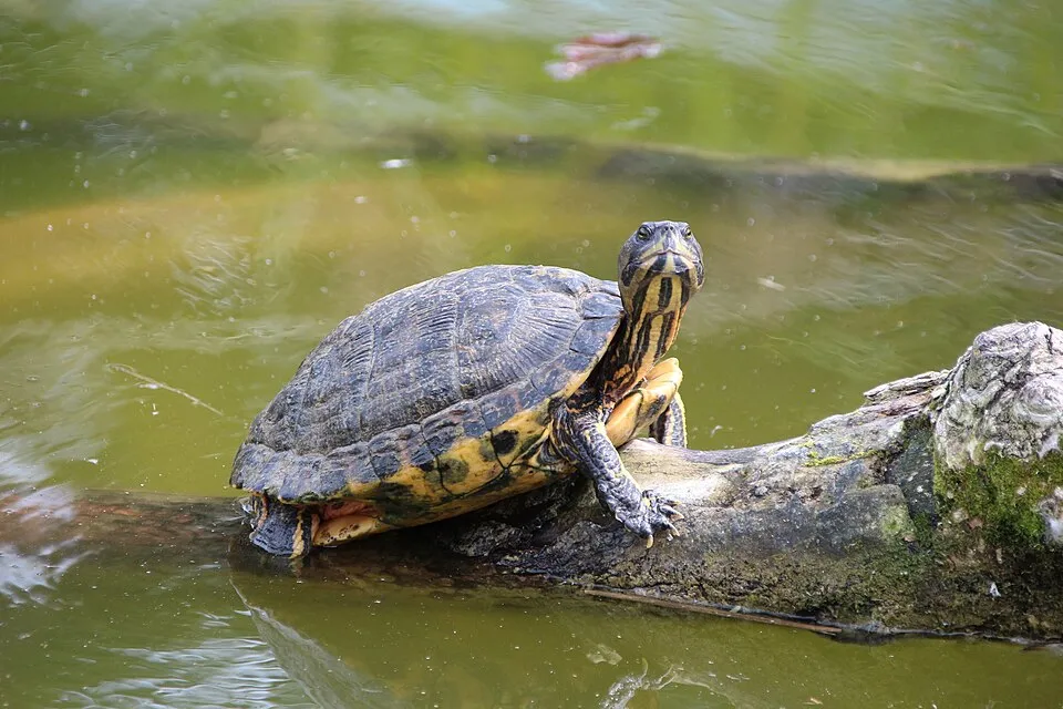 Pond sliderEU
 PumpkinseedEU
 Japanese KnotweedEU
Bohemian knotweedEU
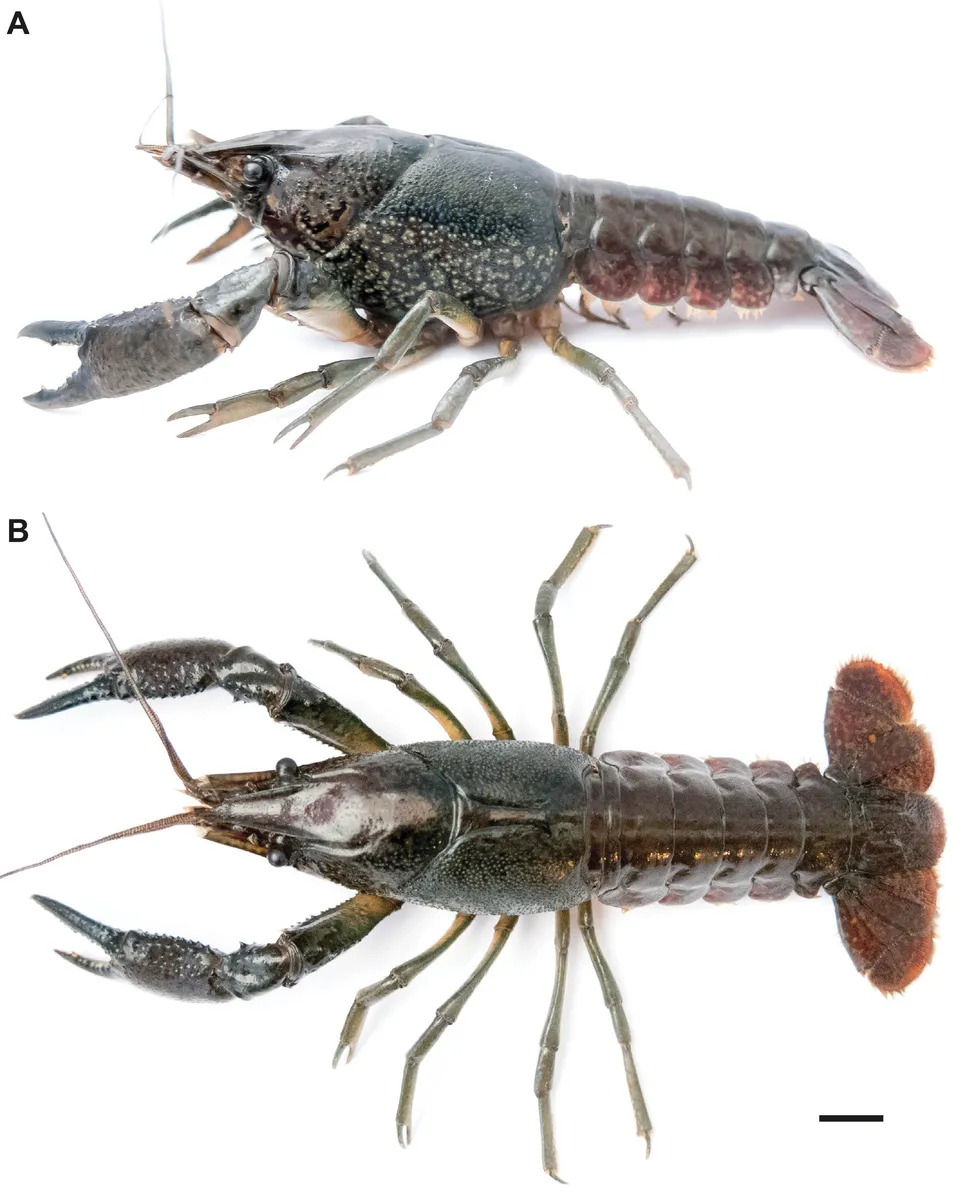 Marbled crayfishEU
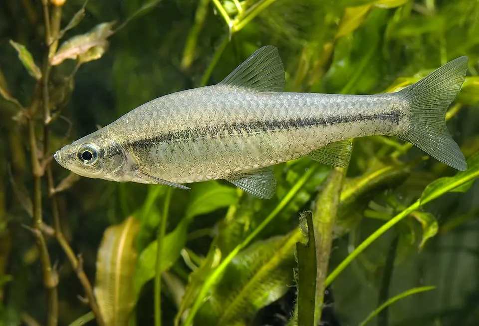 Topmouth gudgeonEU
Photos: Himalayan Balsam © Guptaele · CC BY-SA 4.0; Tree-of-heaven © Darkone · CC BY-SA 2.5; Pond slider © Viva.Chelonia · CC BY 2.0; Pumpkinseed © Cephas · CC BY-SA 3.0; Japanese Knotweed © W.carter · CC0-1.0; Marbled crayfish © Lyko, F · CC BY 3.0; Topmouth gudgeon © Seotaro, edited by Lycaon · CC BY-SA 3.0
Sources: Global Forest Change (Hansen et al., University of Maryland, via Global Forest Watch, CC-BY 4.0); EFFIS, European Commission / Copernicus; NASA Black Marble 2016 (public domain); CORINE Land Cover 2018 (Copernicus) or MODIS.
CORINE Land Cover Change 1990–2018: generated using European Union's Copernicus Land Monitoring Service information (EEA), aggregated by Parkavela; DOI 10.2909/f30f1000-7cf8-43bb-872c-5eb093911b24.
Ecological status of water bodies: European Environment Agency, WISE – Water Framework Directive, 3rd river basin management plans (2022), CC BY 4.0. Official national classification, not comparable between countries.
Invasive alien species: Global Register of Introduced and Invasive Species (ISSG, CC BY 4.0); Union list, Regulation (EU) 1143/2014 (INBO, CC0); GBIF.org records (CC0 / CC BY 4.0), at least 2 per species.
Practical information
Cities and airport
- Vienna
7 km as the crow flies - Bratislava
10 km as the crow flies - Airport: Wien-Schwechat (VIE)
2 km as the crow flies
Visitor information
- Tourismus- und Gästeinformationsbüro Hainburg
< 1 km from the site boundary - Schloss Orth Nationalparkzentrum und Museum
< 1 km from the site boundary - Tourismusbüro Carnuntum Marchfeld
1 km from the site boundary - Airline Service Center
1 km from the site boundary
Parking
8 public car parks listed within the site
Parkplatz RollfährenhausDonauparkplatz
Hiking
30 waymarked routes listed, including:
E 4E 8ST14 Petronell-CarnuntumJakobsweg Wolfsthal-SchwechatOstösterreichischer GrenzlandwegNÖ Landesrundwanderweg
By bike
EV6 · 50 km Danube Cycle Path · 36 kmLonginus Radweg · 9 kmDRW Danube Cycle Path (part Lower Austria) · 30 kmCarnuntum - Schloss Hof - Bratislava Tour · 8 km
+ 5 local loops
Signed cycle routes: this does not mean that cycling is allowed on footpaths.
Data © OpenStreetMap contributors (ODbL) · Wikidata (CC0)
Contains information from EuroVelo GPX tracks downloaded from www.EuroVelo.com on 2026-10-22, which is made available here under the Open Database License (ODbL). EuroVelo® is a registered trademark of the ECF. Routes © OpenStreetMap contributors (ODbL), via Waymarked Trails
Waymarked hiking routes
E4 Europäischer Fernwanderweg E4 (Wien - Rattersdorf)
37.6 km within the site ↗ 0 m↘ 0 m 145–150 m
E8 Europäischer Fernwanderweg E8 - Österreich
37.6 km within the site ↗ 0 m↘ 0 m 145–150 m
Tracks © OpenStreetMap contributors (ODbL), clipped to the boundary; elevation gain and profiles computed on the longest section from Mapzen Terrain Tiles (≈ 30 m), indicative only.
Bathing
3 monitored bathing sites in or within 1 km of the site · 2025 classification
Excellent · 3
- NEUE DONAU, HÖHE LOBGRUNDSTRAßE, LINKS · lake · Excellent
- Neue Donau, Stromab Steinspornbrücke, Links · lake · Excellent
- Neue Donau, Stromauf Wehr 2, Links · lake · Excellent
Source: European Environment Agency, official bathing water classification (Directive 2006/7/EC, CC-BY 4.0). Swimming is only permitted at the sites and times authorised locally.
Access and visiting
The nearest railway station is Hainburg an der Donau Personenbf, less than 1 km from the site boundary. Nearest towns of over 50,000 people, as the crow flies: Vienna (7 km) and Bratislava (10 km). Nearest airport: Wien-Schwechat (VIE), about 2 km away. About 2.7 million people live within 20 km of the site boundary, 1.4 million of them within 10 km; some 4,900 people are estimated to live inside (GHSL estimate, 2020). This population has grown by about 18% since 2000. Visitor information on site: Tourismus- und Gästeinformationsbüro Hainburg, Schloss Orth Nationalparkzentrum und Museum and Tourismusbüro Carnuntum Marchfeld. Public car parks listed within the site: 8, including Parkplatz Rollfährenhaus and Donauparkplatz. Waymarked hiking routes listed in OpenStreetMap: 30, including E 4, E 8, ST14 Petronell-Carnuntum and Jakobsweg Wolfsthal-Schwechat. The EuroVelo 6 cycle route (Atlantic – Black Sea) crosses the site for about 50 km, mostly developed and signed; 7 other signed cycle routes also pass through, including “Danube Cycle Path” and “Longinus Radweg” (EuroVelo, OpenStreetMap). To plan a visit (access, opening periods, visitor rules), it is best to consult the official information from the managing body and the official website listed in this page's sources.
Source: OpenStreetMap (ODbL), Wikidata (CC0), October 2026.
Built heritage
According to Wikidata, 8 monuments listed as protected monuments in Austria stand within the boundary. Among them are 2 houses and civic buildings and 1 castle or fortification. Examples include “Schloss Eckartsau” in Eckartsau, “Forsthaus, Hofjägerhaus” in Donaustadt and “Gedenkstein Franzosenfriedhof” in Donaustadt.
2 houses and civic buildings1 castle or fortification
-
Schloss Eckartsau
Eckartsau -
Forsthaus, Hofjägerhaus
Donaustadt -
Gedenkstein Franzosenfriedhof
Donaustadt -
Lobaumuseum
Donaustadt -
Gedenkstein Hauptquartier
Donaustadt -
Gedenkstein Napoleonstraße
Donaustadt -
Gedenkstein Pulvermagazin
Donaustadt -
Gedenkstein Übergangsstelle der Franzosen
Donaustadt
Source: Wikidata (CC0), monuments in each country’s official heritage protection registers, at national or regional level. Each item links to its Wikidata entry.
When to visit
Mildest period: from June to August, with average temperatures of 19 to 22 °C. Snow only makes brief appearances in winter (about 15 days a year on average, MODIS satellites 2015–2025). Day length ranges from about 8 h 22 min in December to 16 h 02 min in June. Wildlife records published on GBIF peak for birds (April and May), plants (May), butterflies and moths (May and June), dragonflies (from May to July) and mammals (May and June). These peaks also reflect when observers are most active.
Source: Copernicus ERA5-Land (C3S), monthly averages 1996–2025 at the representative point, temperatures adjusted for elevation.
Contains modified Copernicus Climate Change Service information 2026. Neither the European Commission nor ECMWF is responsible for any use that may be made of the Copernicus information or data it contains.
Wildlife records calendar
JFMAMJJASOND
Birds
Plants
Butterflies & moths
Dragonflies
Mammals
Monthly records published on GBIF (CC-BY), relative to the busiest month; also reflects observer activity.
Gallery
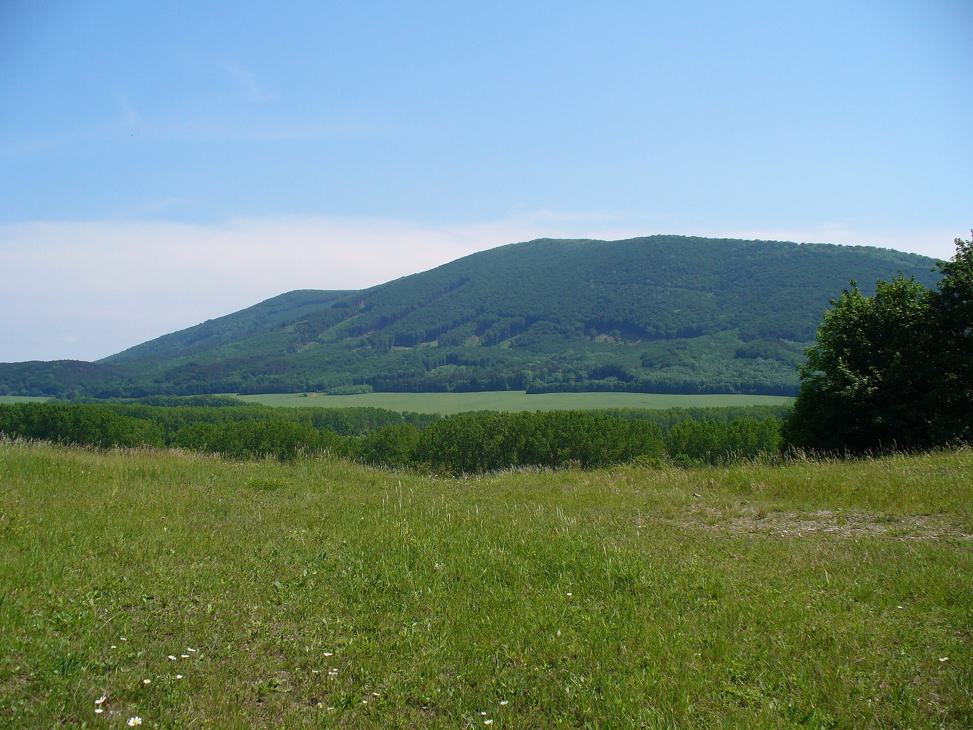
© Wolfgang Glock (reworked by Friedrich.Kromberg) · CC BY-SA 3.0
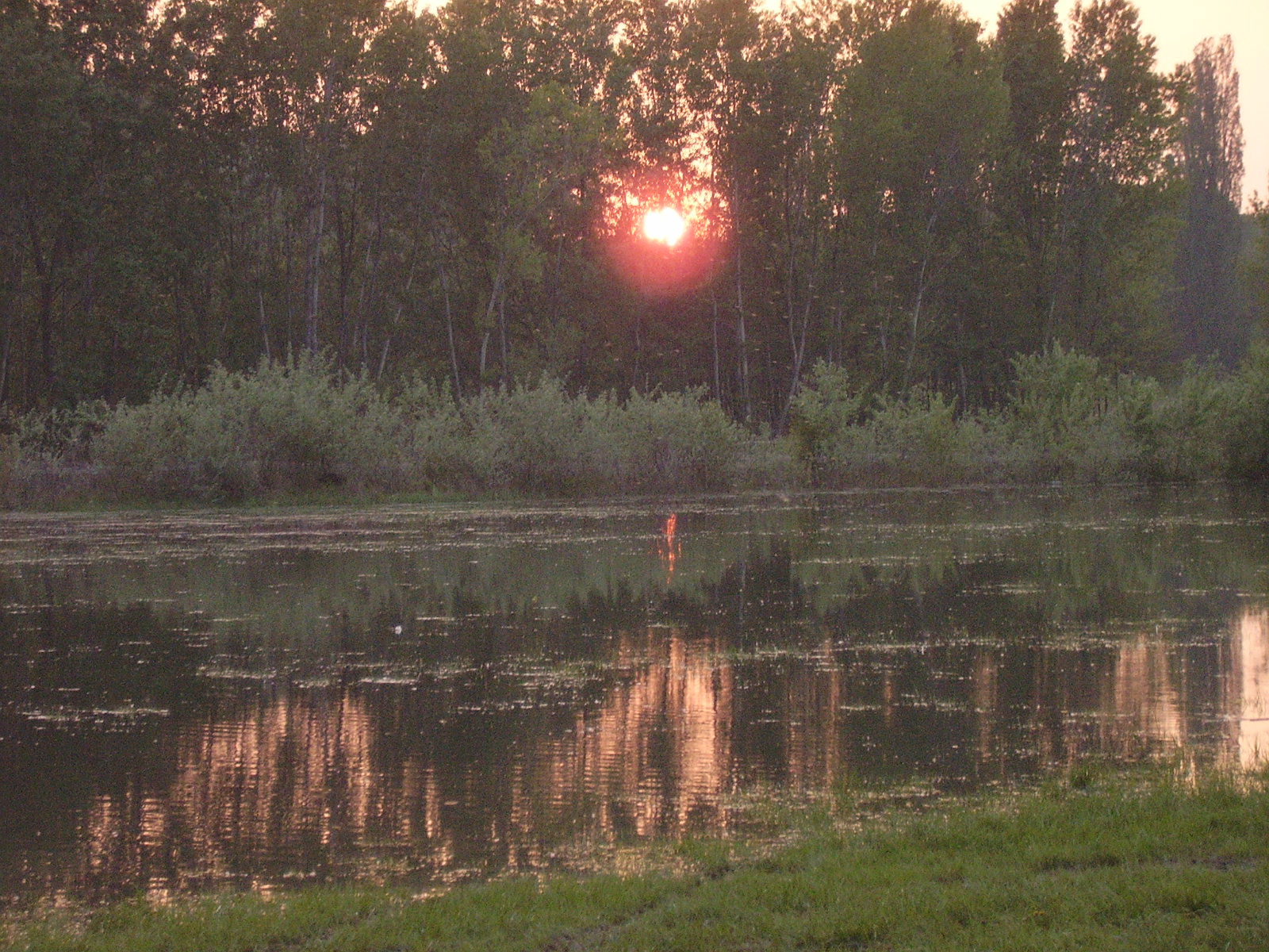
© Karl Gruber · CC BY 3.0
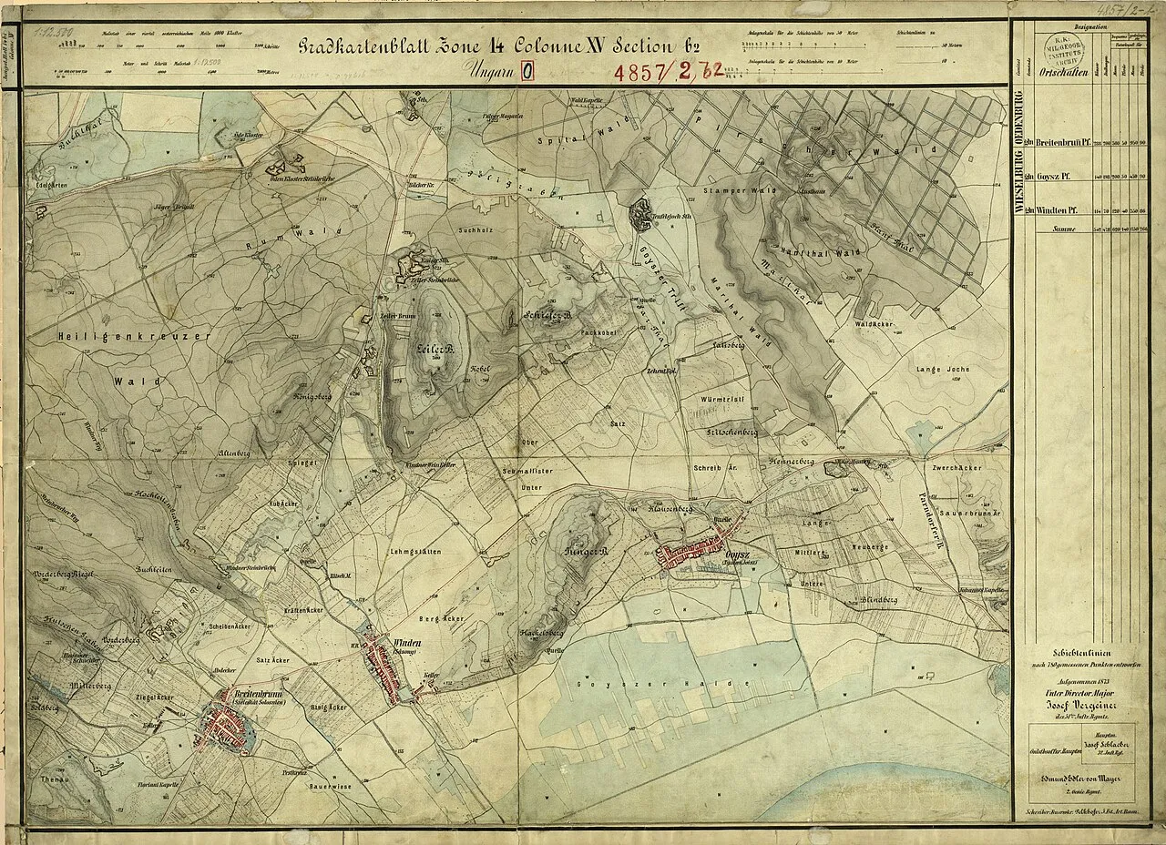
© Friedrich.Kromberg · CC BY-SA 3.0
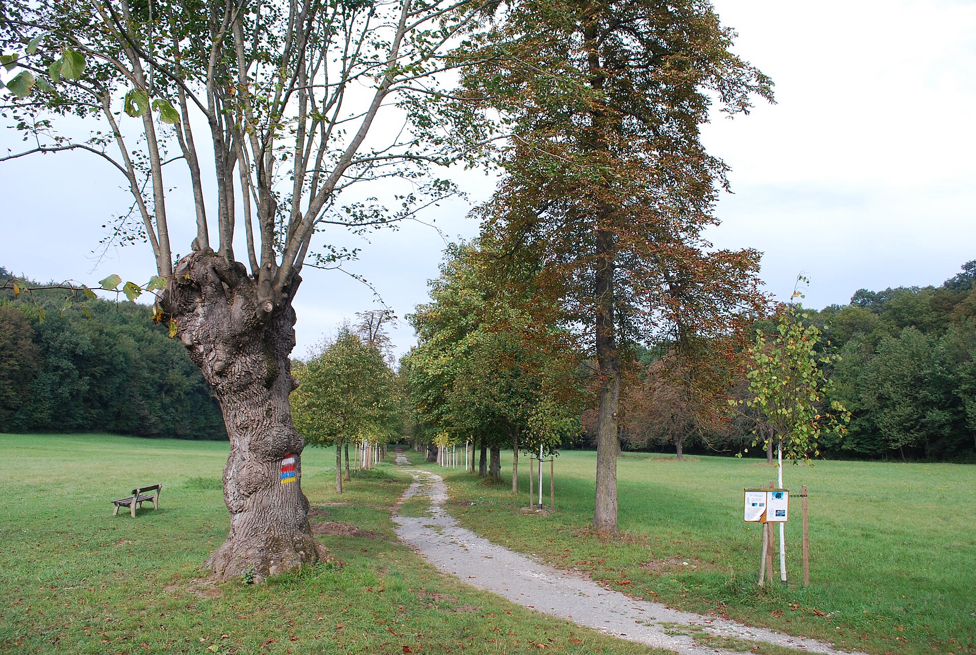
© Peter Haas · CC BY-SA 3.0
© My another account · CC0-1.0
© Friedrich.Kromberg · CC BY-SA 3.0
Sources and licences
- Wikidata: Q474886
- OpenStreetMap: relation 1773407
- Official website: http://www.donauauen.at/
- Wikipedia: en.wikipedia.org/wiki/Danube-Auen_National_Park
- WDPA: 169109
References
- cds.climate.copernicus.eu: climate · CC-BY-4.0
- registry.opendata.aws: elevation of the reference point, detailed relief · CC-BY-3.0
- land.copernicus.eu: land cover, land cover change, sea share · COPERNICUS
- doi.org: population around the site · CC-BY-4.0
- wikidata.org: official area, establishment date, protected heritage, nearby cities and airport, access and peaks, lake depths, places to see, official website · CC0-1.0
- eea.europa.eu: bathing water quality, ecological status of waters · CC-BY-4.0
- en.eurovelo.com: EuroVelo cycle routes · ODbL-1.0
- cycling.waymarkedtrails.org: cycle routes · ODbL-1.0
- opentopodata.org: elevations · PD
- forest-fire.emergency.copernicus.eu: wildfires · COPERNICUS
- globalforestwatch.org: tree cover loss · CC-BY-4.0
- gbif.org: seasonality of sightings, invasive alien species, observed species · CC-BY-4.0
- europe-geology.eu: geology · CC-BY-4.0
- hydrosheds.org: lakes · CC-BY-4.0
- natura2000.eea.europa.eu: Natura 2000 habitats and species · CC-BY-4.0
- openstreetmap.org: official name, access and peaks, trail difficulty · ODbL-1.0
- earthobservatory.nasa.gov: night light · PD
- hiking.waymarkedtrails.org: route difficulty · ODbL-1.0
- nsidc.org: snow cover · PD
- wikidata.org: Wikipedia article · CC-BY-SA-4.0
Data © OpenStreetMap contributors (ODbL), Wikidata (CC0) and the sources cited.