France · Terrestrial
Réserve biologique dirigée de Vesly-Pissot
Nature reserve of 17 hectares in France, established in 1994.
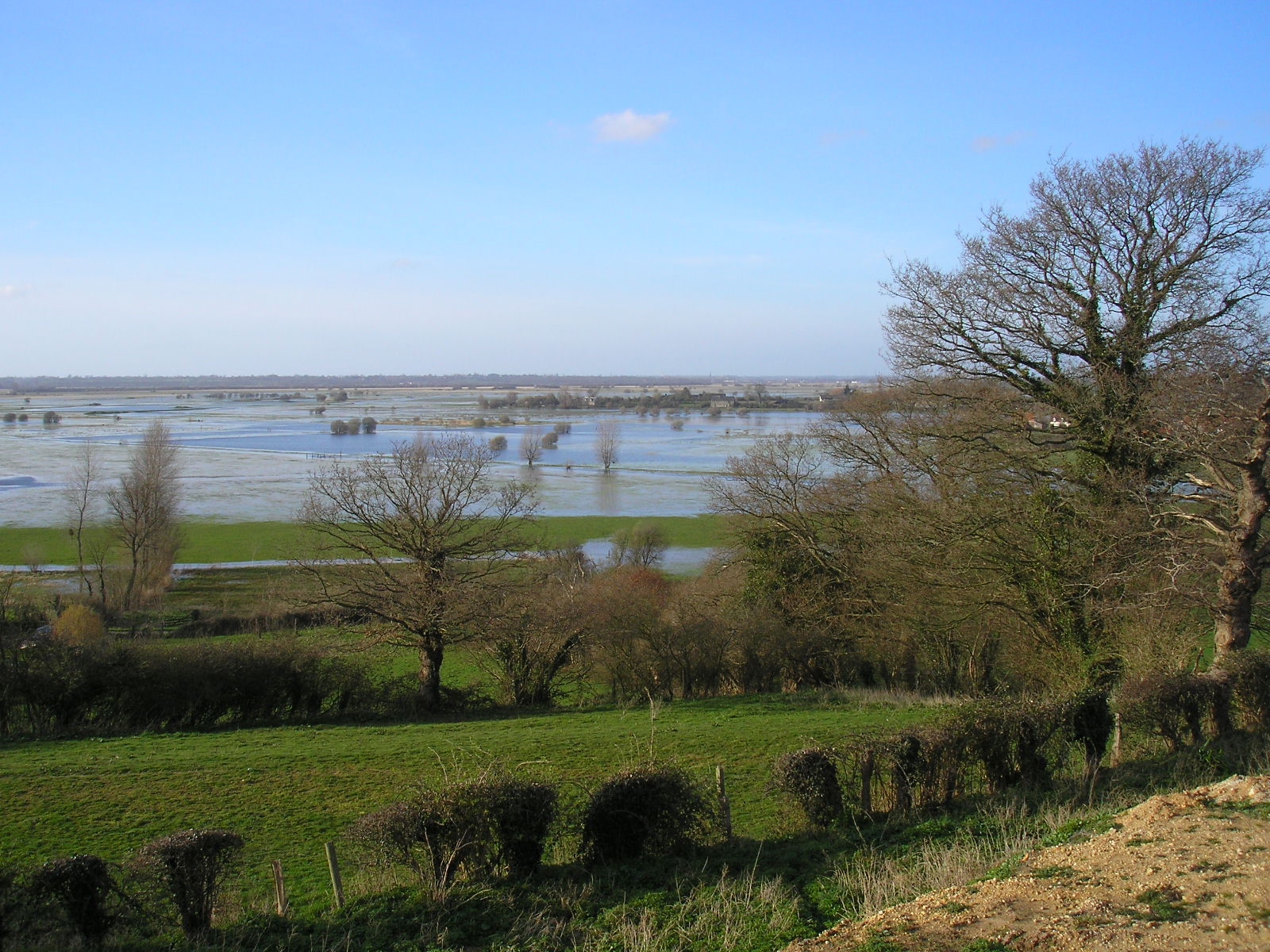
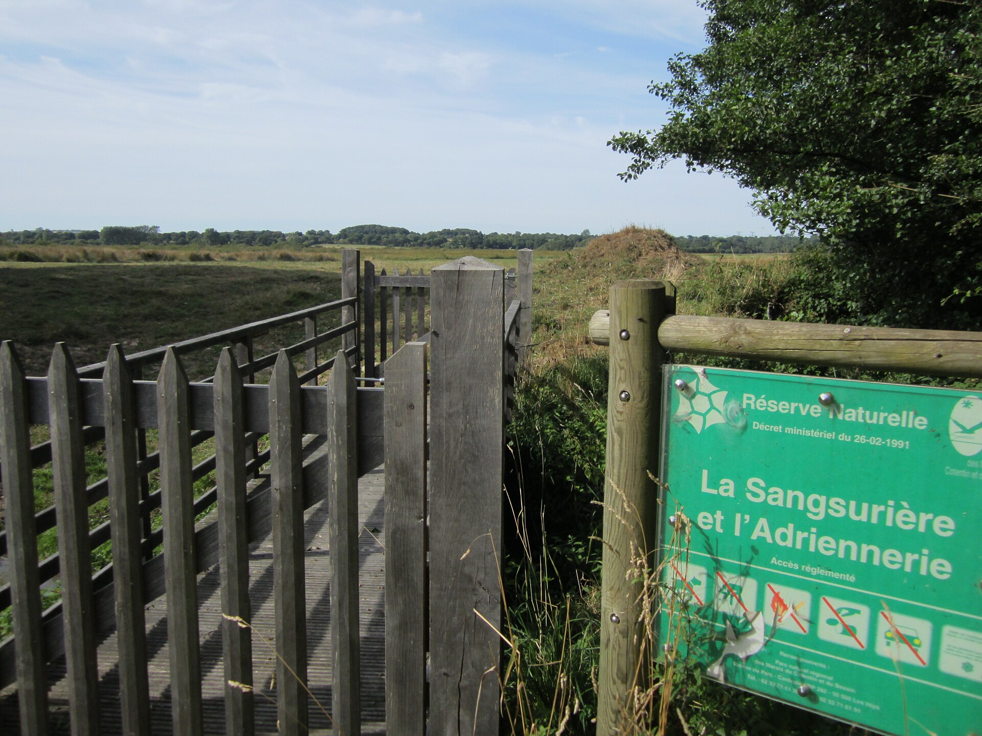
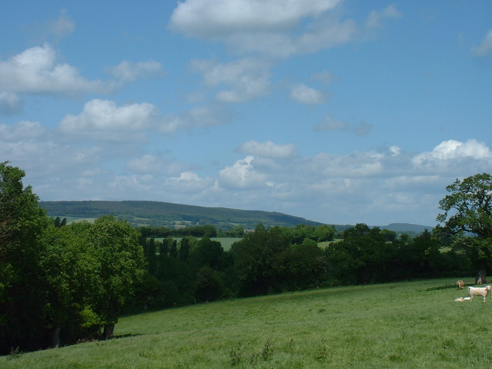
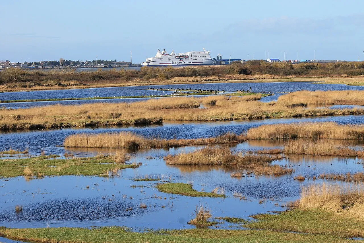
AI-generated illustration (Magnific) · typical landscape, not a photo of this place
Overview
Nature reserve of 17 hectares in France, established in 1994.
Réserve biologique dirigée de Vesly-Pissot is a nature reserve in France (Europe). It is a predominantly terrestrial area. Established in 1994, it covers about 17 hectares.
Protections and designations
Natura 2000 · habitats (SAC)
Protected as a nature reserve. International labels and designations: Natura 2000 network (1 site: “Havre de Saint-Germain-sur-Ay et Landes de Lessay”). Key dates: established in 1994 and first Natura 2000 site under the Habitats Directive in 2014.
In our collections
Timeline
-
1994
Established
-
2014
First Natura 2000 site under the Habitats Directive
Sources: Wikidata (CC0) for establishment and international labels; EEA Natura 2000 database (CC-BY 4.0) for site designation dates.
Frequently asked questions
Where is Réserve biologique dirigée de Vesly-Pissot?
In France (Europe). Representative point: 49.2190° N, 1.4871° W.
How large is Réserve biologique dirigée de Vesly-Pissot?
About 17 hectares. It is the 114th largest of the 121 nature reserves in France covered by Parkavela.
When was Réserve biologique dirigée de Vesly-Pissot established?
In 1994.
What habitats and landscapes does Réserve biologique dirigée de Vesly-Pissot include?
A terrestrial area, with forests.
What rocks lie beneath Réserve biologique dirigée de Vesly-Pissot?
According to the BRGM's simplified lithological map, the bedrock consists mainly of shales and sandstones (100% of sampled points). These are mostly metamorphic rocks.
Which international labels apply to Réserve biologique dirigée de Vesly-Pissot?
Natura 2000 network (1 site: “Havre de Saint-Germain-sur-Ay et Landes de Lessay”).
When is the best time to visit Réserve biologique dirigée de Vesly-Pissot?
Best time to visit: from April to September, with average temperatures of 10 to 19 °C and moderate rainfall.
What is the nearest large city to Réserve biologique dirigée de Vesly-Pissot?
Nearest towns of over 50,000 people, as the crow flies: Cherbourg-en-Cotentin (47 km) and Caen (81 km). Nearest airport: Caen – Carpiquet (CFR), about 75 km away.
How can I reach Réserve biologique dirigée de Vesly-Pissot by train?
The nearest railway station is Coutances, about 20 km from the site boundary.
Which species can be seen in Réserve biologique dirigée de Vesly-Pissot?
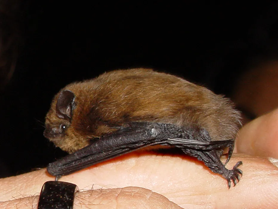
Among the species most often recorded on GBIF are Pipistrellus pipistrellus (Common pipistrelle), Melanotus villosus, Atomaria fuscata and Ampedus elongatulus.
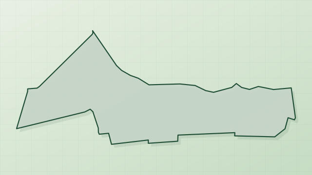
© OpenStreetMap
Download the boundary: GeoJSON · GPX Boundary © OpenStreetMap contributors (ODbL).
Geography
The representative point of the site lies at around 13 m above sea level. Over the 1996–2025 period, the mean annual temperature is about 12.1 °C and total precipitation reaches roughly 910 mm per year. The warmest month is usually August, the coolest January, and the wettest December. According to the BRGM's simplified lithological map, the bedrock consists mainly of shales and sandstones (100% of sampled points). These are mostly metamorphic rocks.
Area
- Area
- 16.8 ha
- Elevation
- 13 m
- Coordinates
- 49.219, -1.4871
Bedrock
- Shales and sandstones 100 %
Metamorphic rocks 100 %
Source: BRGM, simplified lithological map at 1:1,000,000 (Licence Ouverte), 16 points sampled within the boundary.
Climate
● Mean temperature (°C) · ▮ Precipitation (mm)
Source: Copernicus ERA5-Land (C3S, doi:10.24381/cds.68d2bb30), monthly averages 1996–2025 interpolated to the representative point, temperatures adjusted for elevation.
Contains modified Copernicus Climate Change Service information 2026. Neither the European Commission nor ECMWF is responsible for any use that may be made of the Copernicus information or data it contains.
Natural habitats
According to CORINE Land Cover (2018), the site is mainly made up of forests (86%) and grassland and meadows (14%). Woodland is mostly broadleaved. The land is almost flat (mean slope under 2°). The Natura 2000 site overlapping the area lists 33 habitats of European interest (7 priority), the most extensive being northern Atlantic wet heaths with Erica tetralix, estuaries and Atlantic salt meadows (Glauco-Puccinellietalia maritimae).
Biodiversity
Based on occurrences aggregated by GBIF, several species are regularly recorded within the site. Among the most frequent are Pipistrellus pipistrellus (Common pipistrelle), Melanotus villosus, Atomaria fuscata and Ampedus elongatulus. The full list of documented taxa is shown below. The overlapping Natura 2000 site lists 15 species of European interest: 1 mammal, 4 amphibians, 4 fish, 4 invertebrates and 2 plants.
Habitats of European interest
From the official form of the Natura 2000 site overlapping the area (areas reported for the whole site).
- Northern Atlantic wet heaths with Erica tetralix 900 ha
- Estuaries 740 ha
- Atlantic salt meadows (Glauco-Puccinellietalia maritimae) 290 ha
- European dry heaths 215 ha
- Fixed coastal dunes with herbaceous vegetation (‘grey dunes’) priority 151 ha
- Molinia meadows on calcareous, peaty or clayey-silt-laden soils (Molinion caeruleae) 98 ha
- Hydrophilous tall herb fringe communities of plains and of the montane to alpine levels 49 ha
- Mudflats and sandflats not covered by seawater at low tide 41 ha
and 25 more
Species of European interest
Mammals · 1
Amphibians · 4
Midwife toad (Alytes obstetricans), Natterjack (Bufo calamita laurenti), Great crested newt (Triturus cristatus), Marbled newt (Triturus marmoratus)
Fish · 4
European river lamprey (Lampetra fluviatilis), European brook lamprey (Lampetra planeri), Sea lamprey (Petromyzon marinus), Atlantic salmon (Salmo salar)
Invertebrates · 4
Southern damselfly (Coenagrion mercuriale), Jersey Tiger (Euplagia quadripunctaria), Stag beetle (Lucanus cervus), Orange-spotted Emerald (Oxygastra curtisii)
Plants · 2
Floating water-plantain (Luronium natans), Summer Lady's-tresses (Spiranthes aestivalis (poir.) rich.)
Source: Natura 2000 standard data forms (EEA, CC-BY 4.0). Not exhaustive: sensitive species are not published.
Species to look out for
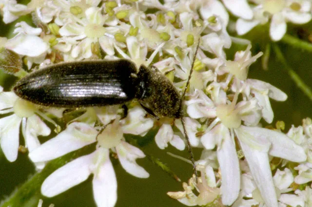
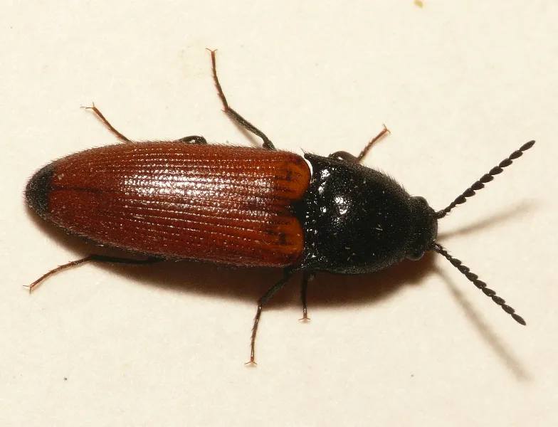
Insect
Ampedus elongatulus

Observed species
Occurrences documented via GBIF; they are neither an exhaustive inventory nor proof of current presence.
- Common pipistrelle · Pipistrellus pipistrellus · 57
- Melanotus villosus · 17
- Atomaria fuscata · 15
- Ampedus elongatulus · 14
- Glischrochilus hortensis · 14
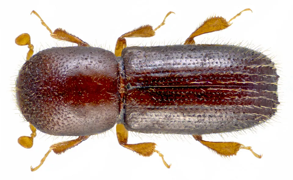
- Xyleborus dispar · 14
- Atomaria nigrirostris · 12
- Xyleborinus saxesenii · 11
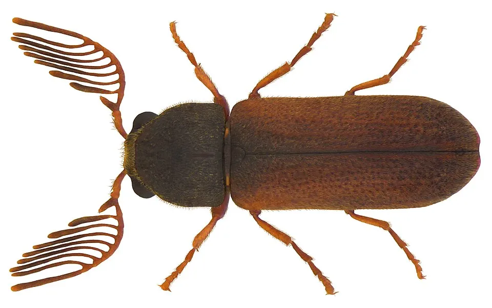
- Fan-bearing Wood-borer · Ptilinus pectinicornis · 10
- Wasp beetle · Clytus arietis · 9
- Enicmus transversus · 8
- Salpingus planirostris · 8
+18 more species
- Ash Bark Beetle · Hylesinus varius · 8
- Hairy click beetle · Hemicrepidius hirtus · 7
- Ambrosia Beetle · Xyleborus dryographus · 7
- Kuhl's pipistrelle · Pipistrellus kuhlii · 7
- European hardwood ambrosia beetle · Trypodendron domesticum · 6
- Red-bodied click beetle · Ampedus quercicola · 6
- Cryptophagus pallidus · 6
- Litargus connexus · 5
- Soronia grisea · 5
- Cardinal beetle · Pyrochroa serraticornis · 5
- Hylastes cunicularius · 4
- Red-brown Click Beetle · Athous haemorrhoidalis · 4
- Dromaeolus barnabita · 4
- Ant beetle · Thanasimus formicarius · 4
- Cortinicara gibbosa · 4
- Plaster beetle · Cartodere bifasciata · 4
- Melandrya caraboides · 4
- Leptura quadrifasciata · 4
Records: GBIF.org (CC-BY). Names: Wikidata (CC0), GBIF. Photos: Wikimedia Commons.
Conservation challenges
The primary purpose of the site is to preserve its natural habitats and the biodiversity they support. The species recorded (Biodiversity tab) reflect its ecological value. The designations it holds frame its management and the control of land use.
According to the Natura 2000 forms, of 32 assessed habitats of European interest, 16 are in average or reduced condition and the rest in good condition.
Pressure indicators
Fires since 2016
0
No large fire mapped (fires over about 30 ha)
Invasive alien species
1
recorded since 2000
Sources: Global Forest Change (Hansen et al., University of Maryland, via Global Forest Watch, CC-BY 4.0); EFFIS, European Commission / Copernicus; NASA Black Marble 2016 (public domain); CORINE Land Cover 2018 (Copernicus) or MODIS.
Invasive alien species: Global Register of Introduced and Invasive Species (ISSG, CC BY 4.0); Union list, Regulation (EU) 1143/2014 (INBO, CC0); GBIF.org records (CC0 / CC BY 4.0), at least 2 per species.
Practical information
Cities and airport
- Cherbourg-en-Cotentin
47 km as the crow flies - Caen
81 km as the crow flies - Airport: Caen – Carpiquet (CFR)
75 km as the crow flies
Data © OpenStreetMap contributors (ODbL) · Wikidata (CC0)
Access and visiting
The nearest railway station is Coutances, about 20 km from the site boundary. Nearest towns of over 50,000 people, as the crow flies: Cherbourg-en-Cotentin (47 km) and Caen (81 km). Nearest airport: Caen – Carpiquet (CFR), about 75 km away. About 68,000 people live within 20 km of the site boundary, 18,000 of them within 10 km (GHSL estimate, 2020). This population has grown by about 8% since 2000. To plan a visit (access, opening periods, visitor rules), it is best to consult the official information from the managing body and the official website listed in this page's sources.
Source: OpenStreetMap (ODbL), Wikidata (CC0), October 2026.
When to visit
Best time to visit: from April to September, with average temperatures of 10 to 19 °C and moderate rainfall. Day length ranges from about 8 h 13 min in December to 16 h 13 min in June. Wildlife records published on GBIF peak for mammals (July). These peaks also reflect when observers are most active.
Source: Copernicus ERA5-Land (C3S), monthly averages 1996–2025 at the representative point, temperatures adjusted for elevation.
Contains modified Copernicus Climate Change Service information 2026. Neither the European Commission nor ECMWF is responsible for any use that may be made of the Copernicus information or data it contains.
Wildlife records calendar
JFMAMJJASOND
Mammals
Monthly records published on GBIF (CC-BY), relative to the busiest month; also reflects observer activity.
Sources and licences
- Wikidata: Q65953796
- OpenStreetMap: relation 1178104
- WDPA: 142705
References
- cds.climate.copernicus.eu: climate · CC-BY-4.0
- registry.opendata.aws: elevation of the reference point, detailed relief · PD
- land.copernicus.eu: land cover, land cover change, sea share · COPERNICUS
- doi.org: population around the site · CC-BY-4.0
- wikidata.org: official area, establishment date, nearby cities and airport, access and peaks, lake depths, places to see · CC0-1.0
- eea.europa.eu: bathing water quality, ecological status of waters · CC-BY-4.0
- en.eurovelo.com: EuroVelo cycle routes · ODbL-1.0
- cycling.waymarkedtrails.org: cycle routes · ODbL-1.0
- opentopodata.org: elevations · PD
- forest-fire.emergency.copernicus.eu: wildfires · COPERNICUS
- globalforestwatch.org: tree cover loss · CC-BY-4.0
- gbif.org: seasonality of sightings, invasive alien species, observed species · CC-BY-4.0
- infoterre.brgm.fr: geology · LO-2.0
- pop.culture.gouv.fr: protected heritage · LO-2.0
- hydrosheds.org: lakes · CC-BY-4.0
- natura2000.eea.europa.eu: Natura 2000 habitats and species · CC-BY-4.0
- openstreetmap.org: official name, access and peaks, places to see · ODbL-1.0
- nsidc.org: snow cover · PD
Data © OpenStreetMap contributors (ODbL), Wikidata (CC0) and the sources cited.