
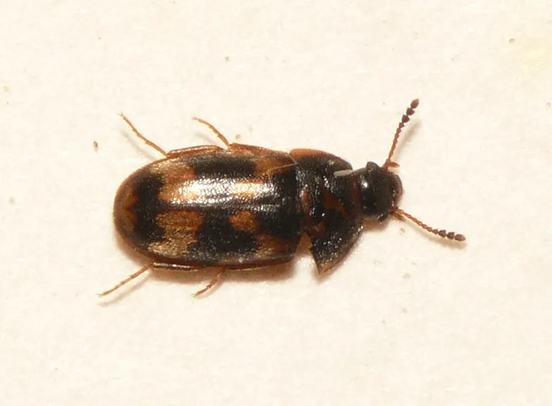
Insect
Litargus connexus: where to see it
This insect species is recorded in 19 protected areas of the atlas. Within the atlas countries, it is mostly observed in France, Switzerland and Sweden (8 countries in all). Most records (8 in 10) lie between 80 and 900 m above sea level. Records peak from May to July.
Best time to see it: May–July
Records published on GBIF by month (CC0 and CC BY 4.0 licences only), in the atlas countries, all years combined; they also reflect observer activity.
Distribution
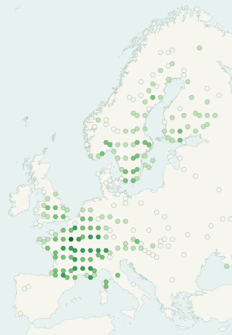
Records published on GBIF (CC0 and CC BY 4.0 licences): the darker the shade, the more records there are; they also reflect observation effort.
Atlas countries where it is recorded
From Wikipedia
Litargus connexus is a species of beetle belonging to the family Mycetophagidae. It is native to Europe and Northern America. The larvae feeds mainly on fungi belonging to the species Daldinia loculata and Daldinia concentric and more generally on Pyrenomycetes. The adult is found in rotten wood, especially if attacked by fungal decomposers.
Source: Wikipedia, article “Litargus connexus” (version of March 20, 2026) · history and authors · licence CC BY-SA 4.0
Protected areas where it is recorded
202 records
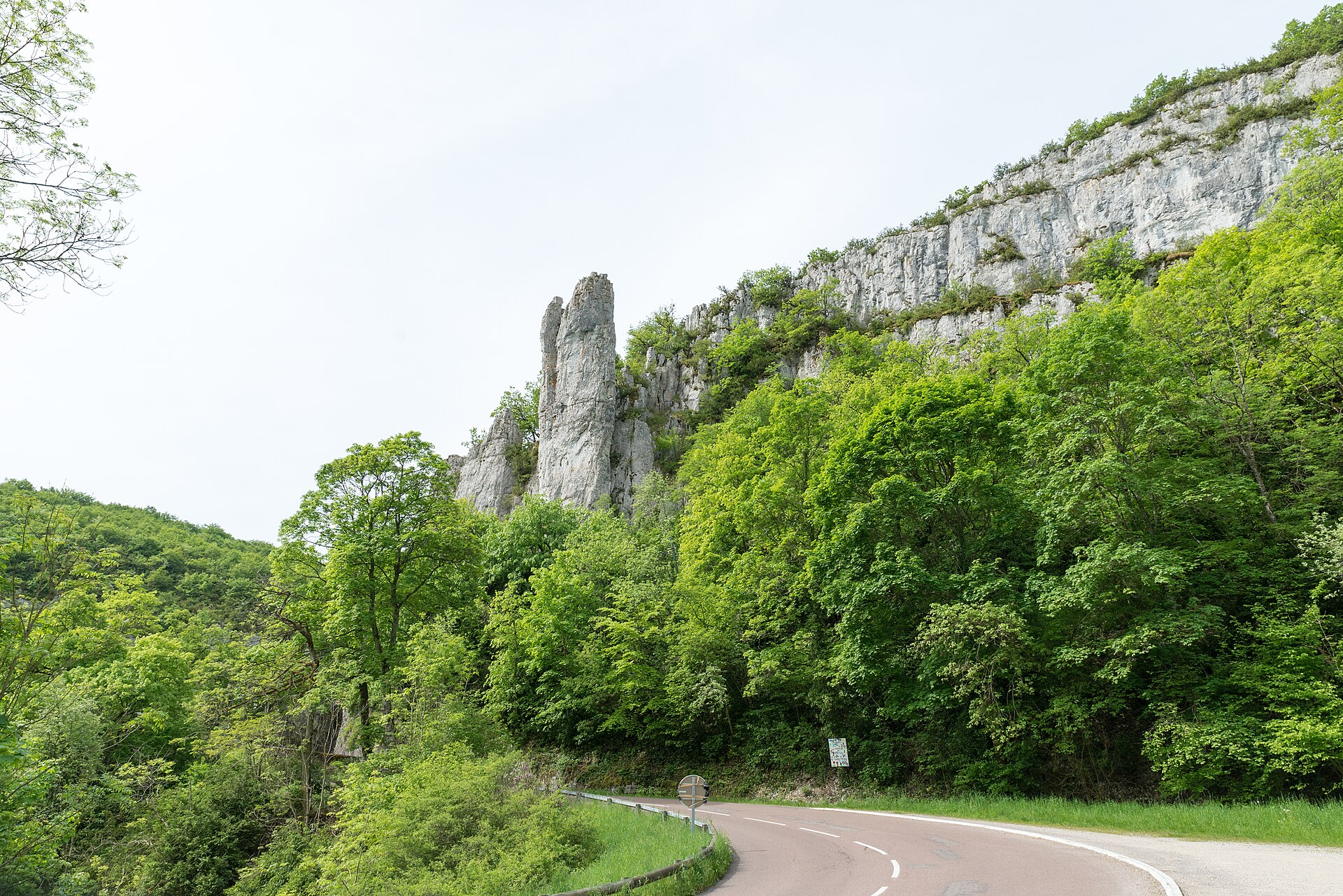
143 records
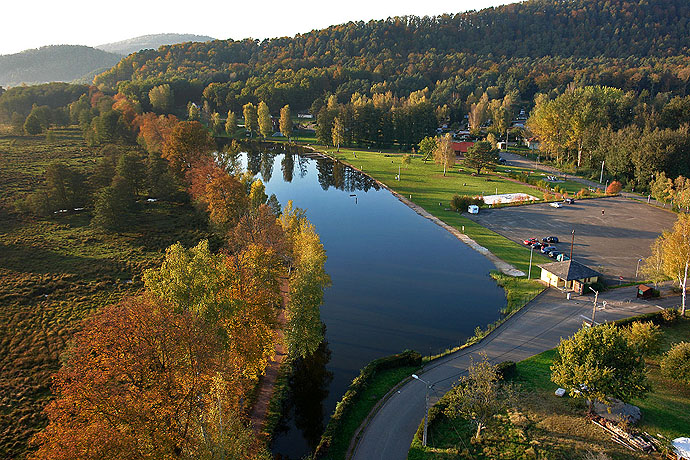
138 records
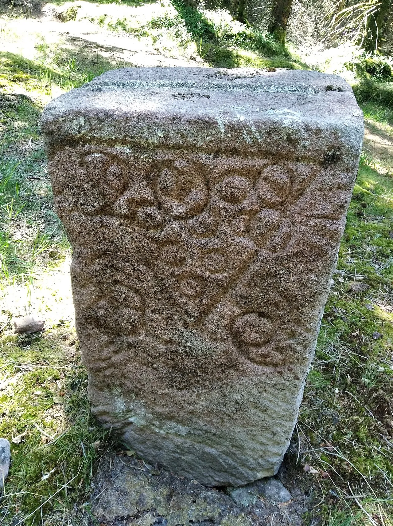
120 records
88 records
74 records
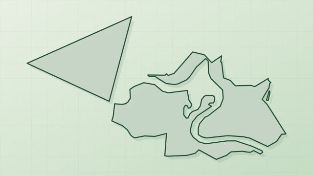
69 records
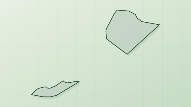
66 records

59 records
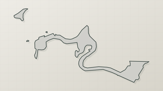
48 records
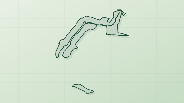
46 records
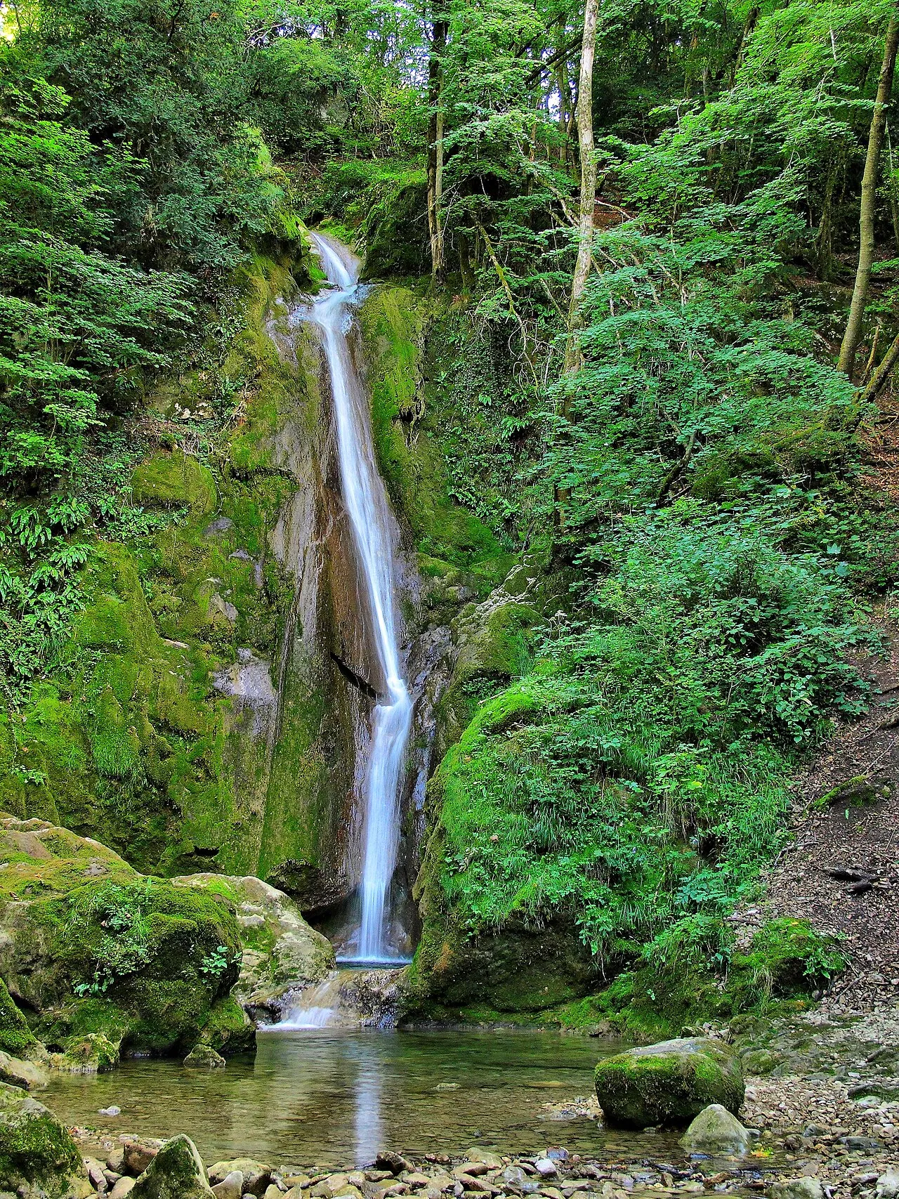
39 records
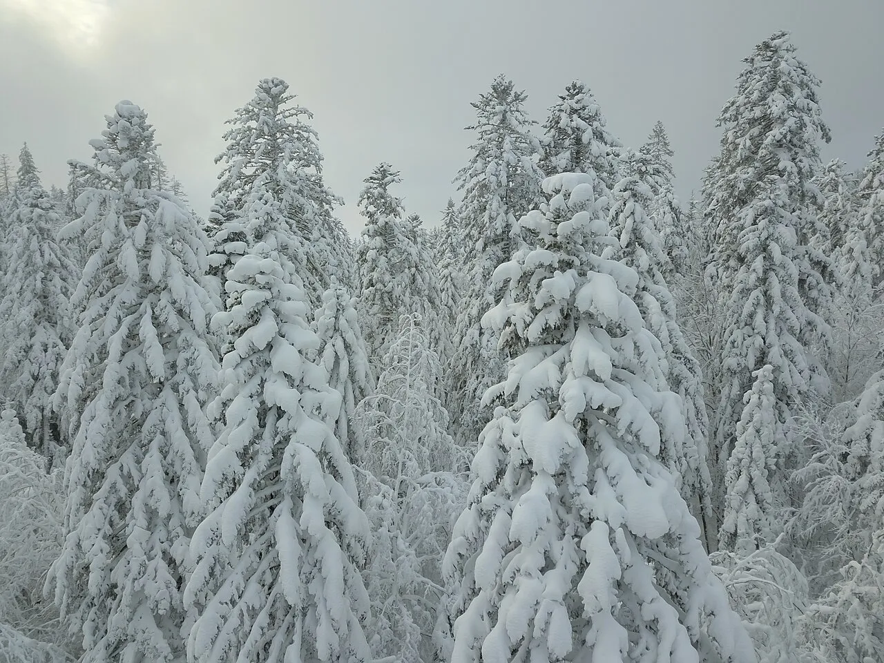
38 records
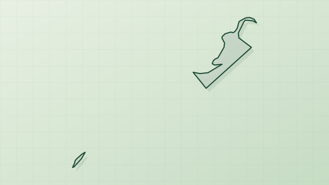
30 records
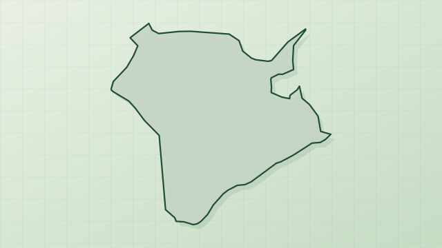
18 records
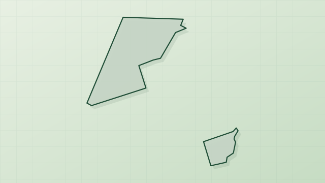
15 records
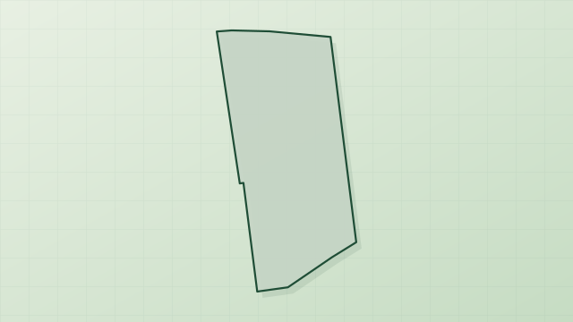
8 records
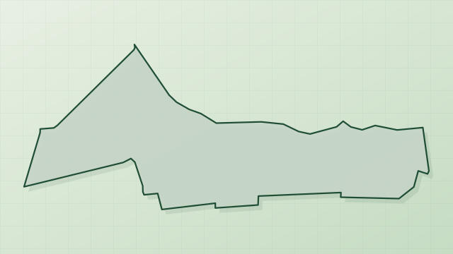
5 records
2 records
Other species to discover
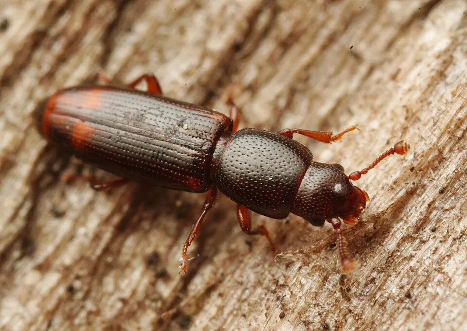 Root-eating beetle
Rhizophagus bipustulatus 13 places in common
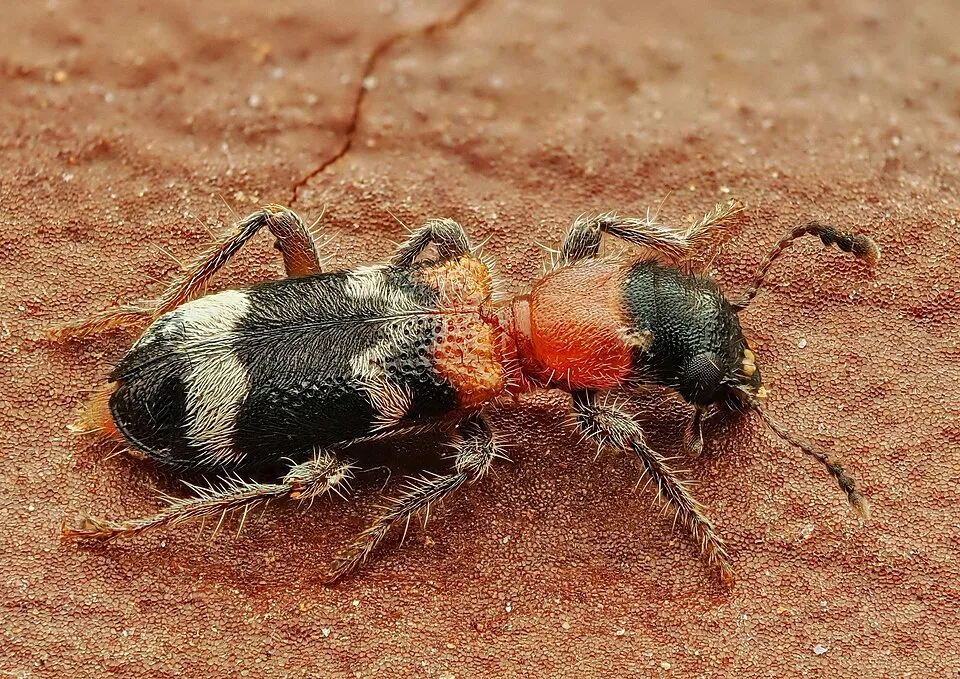 Ant beetle
Thanasimus formicarius 12 places in common
 Xyleborus dispar
12 places in common
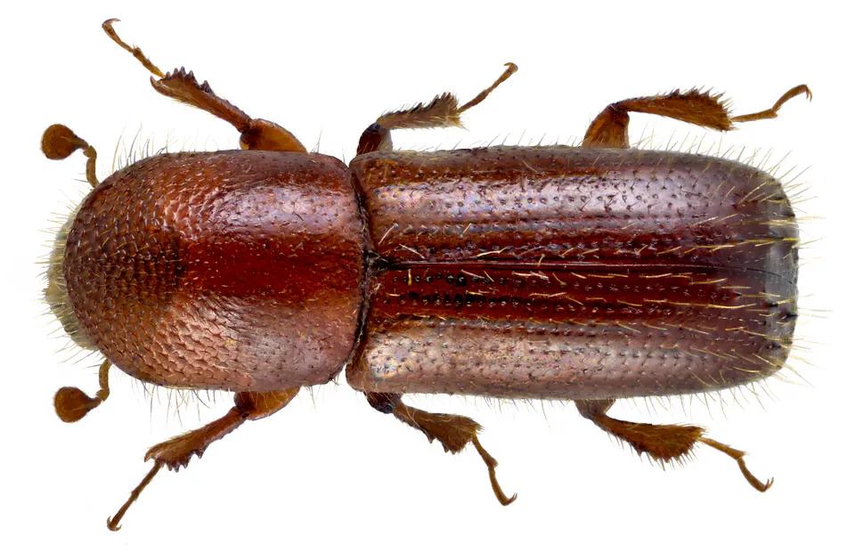 Mediterranean Oak Borer
Xyleborus monographus 8 places in common
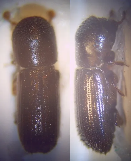 Ambrosia Beetle
Xyleborus dryographus 7 places in common
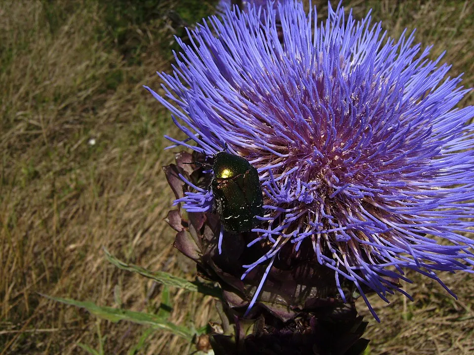 Rose Chafer
Cetonia aurata 7 places in common
Sources and credits
- Presence: most-recorded species of each place on GBIF and species of Community interest in the Natura 2000 forms (EEA, CC-BY 4.0); absence from the list does not mean the species is absent.
- Common names: Wikidata (CC0) and GBIF.
- Photos and sounds: Wikimedia Commons, author and licence given for each file.
- Classification: GBIF Backbone Taxonomy (GBIF Secretariat), CC BY 4.0, doi:10.15468/39omei.
- Countries, elevations, months and maps: GBIF.org, CC0 or CC BY 4.0 occurrences only, accessed October 22, 2026, GBIF.org.
- Base map: Natural Earth (public domain).
- Excerpt: Wikipedia, CC BY-SA 4.0 (full credit below the excerpt).