France · Terrestrial
Réserve biologique intégrale du Bois Sauvage
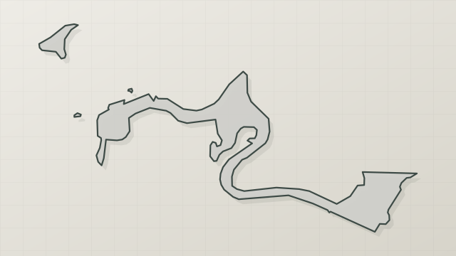
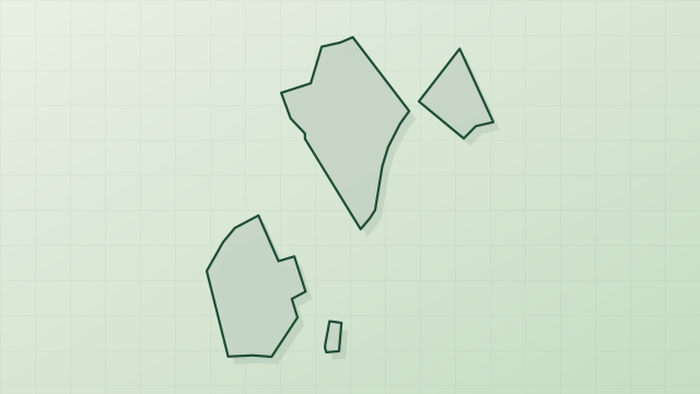
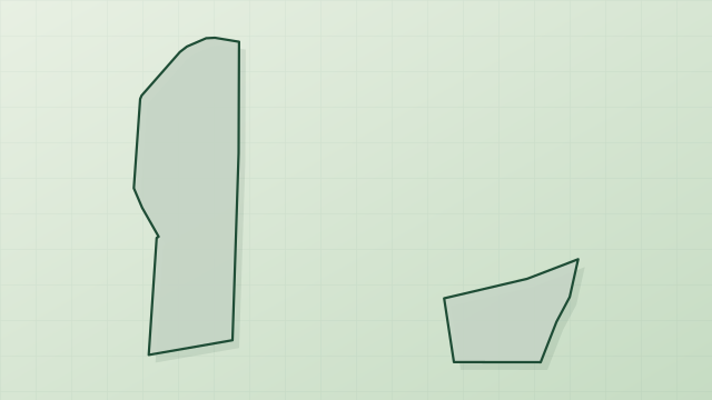
Nature reserve of 410 hectares in France, established in 2006.
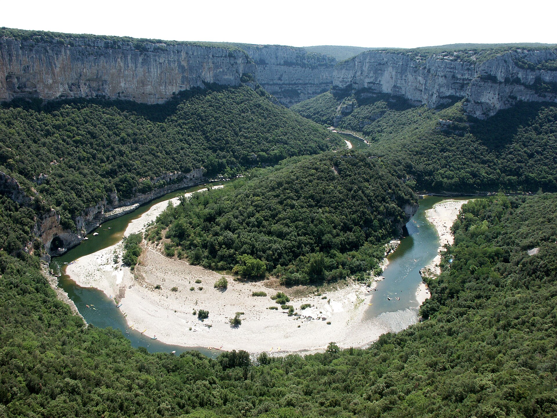
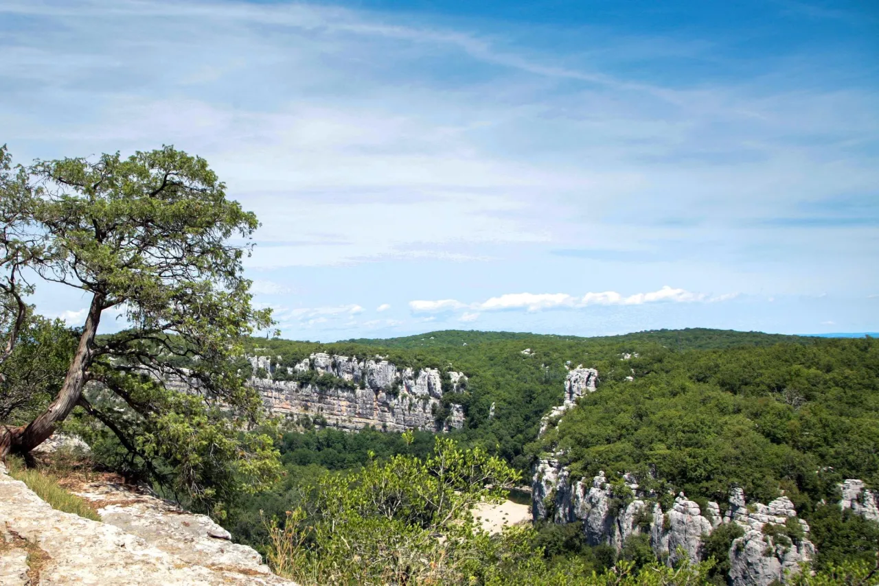
Illustrative photo · Ardèche · © mikeos / Magnific
Overview
Nature reserve of 410 hectares in France, established in 2006.
Réserve biologique intégrale du Bois Sauvage is a nature reserve in France (Europe). It is a predominantly terrestrial area. Established in 2006, it covers about 410 hectares.
Protections and designations
Natura 2000 · habitats (SAC)
- Basse Ardèche urgonienne FR8201654
Natura 2000 · birds (SPA)
- Basse Ardèche FR8210114
Protected as a nature reserve. International labels and designations: Natura 2000 network (2 sites). Key dates: first Natura 2000 site under the Birds Directive in 2003, established in 2006 and first Natura 2000 site under the Habitats Directive in 2010.
In our collections
Timeline
-
2003
First Natura 2000 site under the Birds Directive
-
2006
Established
-
2010
First Natura 2000 site under the Habitats Directive
Sources: Wikidata (CC0) for establishment and international labels; EEA Natura 2000 database (CC-BY 4.0) for site designation dates.
Frequently asked questions
Where is Réserve biologique intégrale du Bois Sauvage?
In France (Europe). Representative point: 44.4410° N, 4.4770° E.
How large is Réserve biologique intégrale du Bois Sauvage?
About 410 hectares (4 km²). It is the 54th largest of the 121 nature reserves in France covered by Parkavela.
When was Réserve biologique intégrale du Bois Sauvage established?
In 2006.
What habitats and landscapes does Réserve biologique intégrale du Bois Sauvage include?
A terrestrial area, with forests.
What rocks lie beneath Réserve biologique intégrale du Bois Sauvage?
According to the BRGM's simplified lithological map, the bedrock consists mainly of limestones, marls and gypsum (100% of sampled points). These are mostly sedimentary rocks.
Which international labels apply to Réserve biologique intégrale du Bois Sauvage?
Natura 2000 network (2 sites).
When is the best time to visit Réserve biologique intégrale du Bois Sauvage?
Best time to visit: from April to September, with average temperatures of 11 to 23 °C and moderate rainfall.
What is the nearest large city to Réserve biologique intégrale du Bois Sauvage?
Nearest towns of over 50,000 people, as the crow flies: Avignon (59 km) and Valence (62 km). Nearest airport: Nîmes-Alès-Camargue-Cévennes (FNI), about 75 km away.
How can I reach Réserve biologique intégrale du Bois Sauvage by train?
The nearest railway station is Donzère, about 16 km from the site boundary.
Are there waymarked hiking trails in Réserve biologique intégrale du Bois Sauvage?
Yes. Waymarked hiking routes listed in OpenStreetMap: 1.
Which species can be seen in Réserve biologique intégrale du Bois Sauvage?
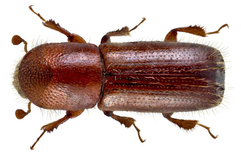
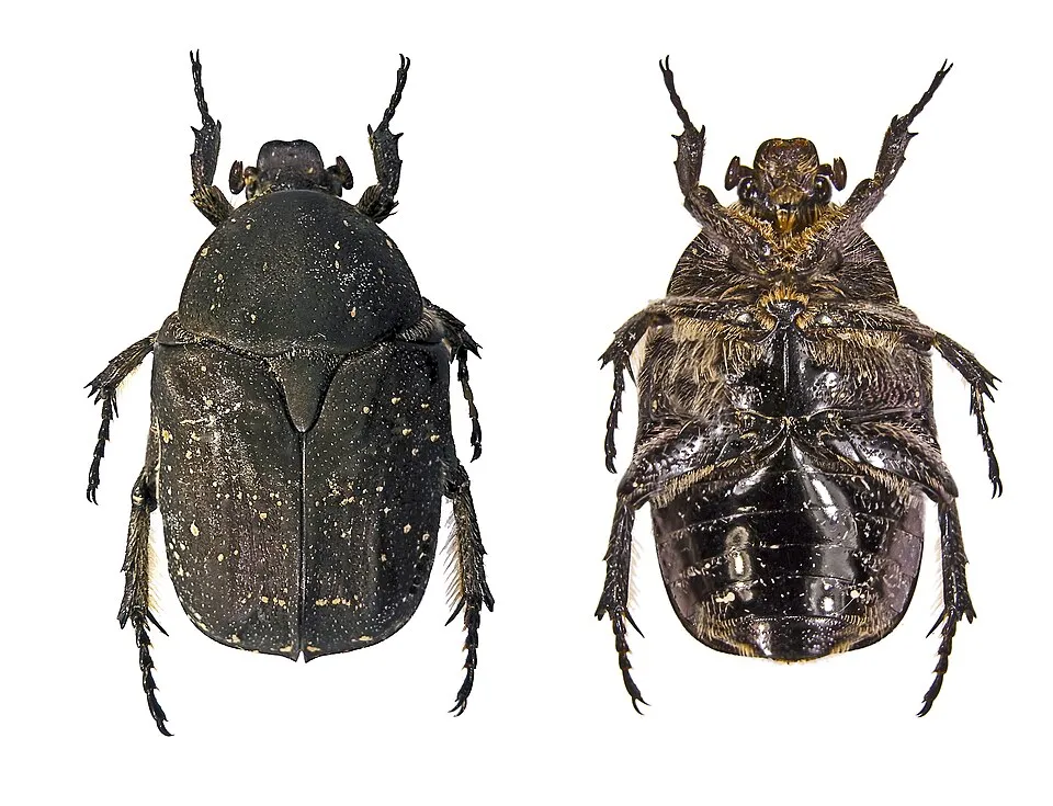
Among the species most often recorded on GBIF are Xyleborinus saxesenii, Xyleborus monographus (Mediterranean Oak Borer), Xyleborus dispar and Protaetia morio (Speckled Rose Chafer).
© OpenStreetMap
Download the boundary: GeoJSON · GPX Boundary © OpenStreetMap contributors (ODbL).
Geography
The representative point of the site lies at around 284 m above sea level. Over the 1996–2025 period, the mean annual temperature is about 13.1 °C and total precipitation reaches roughly 1,081 mm per year. The warmest month is usually July, the coolest January, and the wettest October. According to the BRGM's simplified lithological map, the bedrock consists mainly of limestones, marls and gypsum (100% of sampled points). These are mostly sedimentary rocks.
Area
- Area
- 410 ha
- Elevation
- 284 m
- Median elevation
- 399 m
- Mean slope
- 18°
- Coordinates
- 44.441, 4.477
Terrain: Mapzen Terrain Tiles (SRTM, USGS)
Bedrock
- Limestones, marls and gypsum 100 %
Sedimentary rocks 100 %
Source: BRGM, simplified lithological map at 1:1,000,000 (Licence Ouverte), 12 points sampled within the boundary.
Climate
● Mean temperature (°C) · ▮ Precipitation (mm)
Source: Copernicus ERA5-Land (C3S, doi:10.24381/cds.68d2bb30), monthly averages 1996–2025 interpolated to the representative point, temperatures adjusted for elevation.
Contains modified Copernicus Climate Change Service information 2026. Neither the European Commission nor ECMWF is responsible for any use that may be made of the Copernicus information or data it contains.
Natural habitats
According to CORINE Land Cover (2018), the site is mainly made up of forests (89%) and Mediterranean scrub (11%). Woodland is mostly broadleaved. Elevation ranges from about 270 to 670 m (sampled elevations, SRTM). The terrain is steep: 65% of slopes exceed 15° (mean slope 18°). The 2 Natura 2000 sites overlapping the area list 17 habitats of European interest (3 priority), the most extensive being Quercus ilex and Quercus rotundifolia forests, arborescent matorral with Juniperus spp. and calcareous rocky slopes with chasmophytic vegetation.
Biodiversity
Based on occurrences aggregated by GBIF, several species are regularly recorded within the site. Among the most frequent are Xyleborinus saxesenii, Xyleborus monographus (Mediterranean Oak Borer), Xyleborus dispar and Protaetia morio (Speckled Rose Chafer). The full list of documented taxa is shown below. The overlapping Natura 2000 sites list 78 species of European interest: 23 birds, 25 mammals, 4 reptiles, 5 amphibians, 8 fish, 12 invertebrates and 1 plant.
Habitats of European interest
From the official forms of the 2 Natura 2000 sites overlapping the area (areas reported for each whole site).
- Quercus ilex and Quercus rotundifolia forests 3,193 ha
- Arborescent matorral with Juniperus spp. 446 ha
- Calcareous rocky slopes with chasmophytic vegetation 135 ha
- Salix alba and Populus alba galleries 108 ha
- Western Mediterranean and thermophilous scree 84 ha
- Caves not open to the public 69 ha
- Water courses of plain to montane levels with the Ranunculion fluitantis and Callitricho-Batrachion vegetation 53 ha
- Constantly flowing Mediterranean rivers with Glaucium flavum 49 ha
and 9 more
Species of European interest
Birds · 23
Cinereous Vulture (Aegypius monachus) passage, Common Kingfisher (Alcedo atthis) resident, Tawny Pipit (Anthus campestris) breeding, Bonelli's Eagle (Aquila fasciata) resident, Eurasian Eagle-owl (Bubo bubo) resident, European Nightjar (Caprimulgus europaeus) breeding, Short-toed Snake Eagle (Circaetus gallicus) breeding passage, Western Marsh Harrier (Circus aeruginosus) passage, Hen Harrier (Circus cyaneus) passage, Montagu's Harrier (Circus pygargus) passage, Little Egret (Egretta garzetta) passage, Ortolan Bunting (Emberiza hortulana) breeding and 11 more
Mammals · 25
Barbastelle (Barbastella barbastellus), Eurasian Beaver (Castor fiber), Serotine bat (Eptesicus serotinus), Common genet (Genetta genetta), Savi's Pipistrelle (Hypsugo savii), Eurasian otter (Lutra lutra), Common bent-wing bat (Miniopterus schreibersii), Bechstein's bat (Myotis bechsteinii), Lesser mouse-eared myotis (Myotis blythii), Long-fingered bat (Myotis capaccinii), Daubenton's Bat (Myotis daubentoni), Geoffroy's bat (Myotis emarginatus) and 13 more
Reptiles · 4
Dark green snake (Coluber viridiflavus), Aesculapian snake (Elaphe longissima), Green lizard (Lacerta viridis), Common wall lizard (Podarcis muralis)
Amphibians · 5
Midwife toad (Alytes obstetricans), Natterjack (Bufo calamita), Stripeless tree frog (Hyla meridionalis), Agile frog (Rana dalmatina), Pool frog (Rana lessonae)
Fish · 8
Twait shad (Alosa fallax), Mediterranean Barbel (Barbus meridionalis), European bullhead (Cottus gobio), European brook lamprey (Lampetra planeri), South-West European Nase (Parachondrostoma toxostoma), European bitterling (Rhodeus amarus), Souffia (Telestes souffia), Apron (Zingel asper)
Invertebrates · 12
Greater Capricorn Beetle (Cerambyx cerdo), Southern damselfly (Coenagrion mercuriale), Eastern Eggar (Eriogaster catax), Marsh fritillary (Euphydryas aurinia), Pronged clubtail (Gomphus graslinii), Stag beetle (Lucanus cervus), Splendid Cruiser (Macromia splendens), Orange-spotted Emerald (Oxygastra curtisii), Willowherb Hawkmoth (Proserpinus proserpina), Common Predatory Bush-cricket (Saga pedo), Thick shelled river mussel (Unio crassus), Narrow-mouthed whorl snail (Vertigo angustior)
Plants · 1
Source: Natura 2000 standard data forms (EEA, CC-BY 4.0). Not exhaustive: sensitive species are not published.
Species to look out for
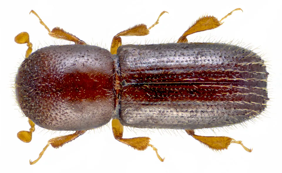
Insect
Mediterranean Oak Borer
Xyleborus monographus109 records © Udo Schmidt from Deutschland · CC BY-SA 2.0

Observed species
Occurrences documented via GBIF; they are neither an exhaustive inventory nor proof of current presence.
- Xyleborinus saxesenii · 136
- Mediterranean Oak Borer · Xyleborus monographus · 109
- Xyleborus dispar · 88
- Speckled Rose Chafer · Protaetia morio · 72
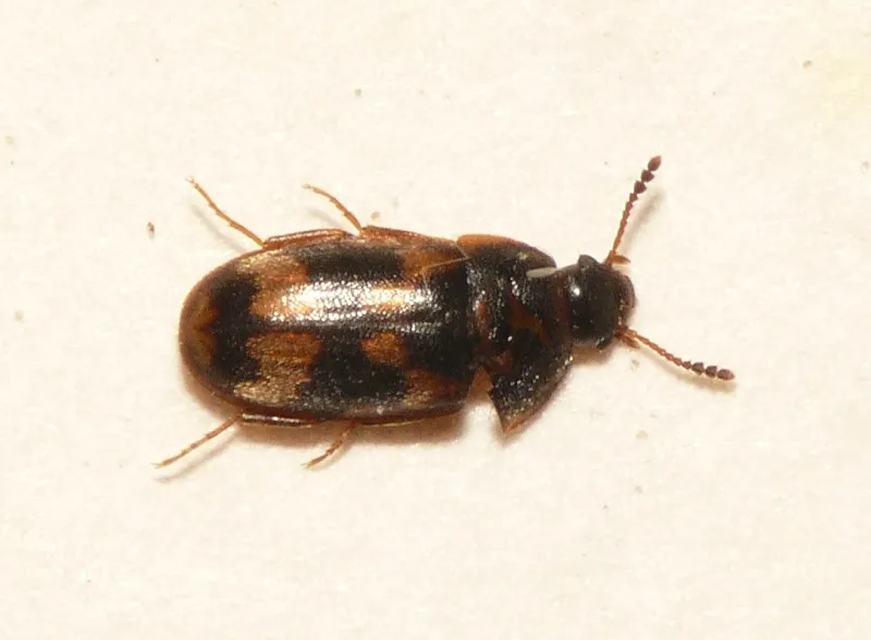
- Litargus connexus · 69
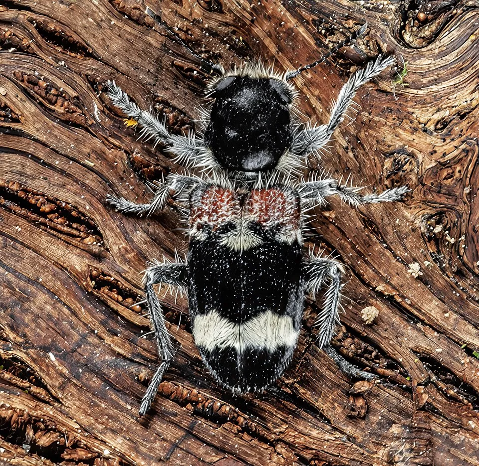
- Clerus mutillarius · 56
- Salpingus planirostris · 34
- Rose Chafer · Cetonia aurata · 32
- Nothodes parvulus · 32
- Ambrosia Beetle · Xyleborus dryographus · 32
- Holm Oak · Quercus ilex · 29
- Xylopertha praeusta · 26
+18 more species
- Common box · Buxus sempervirens · 24
- Oedemera femoralis · 22
- Downy oak · Quercus pubescens · 21
- Tanbark Borer · Phymatodes testaceus · 20
- Montpellier Maple · Acer monspessulanum · 19
- Cade juniper · Juniperus oxycedrus · 18
- Isomira antennata · 18
- Shothole Borer · Scolytus rugulosus · 18
- Green Olive Tree · Phillyrea latifolia · 17
- Sisyphus schaefferi · 14
- Trichoferus holosericeus · 14
- Dryocoetes villosus · 14
- Wild Madder · Rubia peregrina · 14
- Opilo mollis · 14
- Greater Capricorn Beetle · Cerambyx cerdo · 14
- Purpuricenus kaehleri · 14
- Whitebeam · Aria edulis · 14
- Garden thyme · Thymus vulgaris · 13
Records: GBIF.org (CC-BY). Names: Wikidata (CC0), GBIF. Photos: Wikimedia Commons.
Conservation challenges
The primary purpose of the site is to preserve its natural habitats and the biodiversity they support. The species recorded (Biodiversity tab) reflect its ecological value. The designations it holds frame its management and the control of land use.
According to CORINE Land Cover, land cover here remained almost unchanged between 1990 and 2018 (less than 0.5% of the area affected). At night, the area gives off virtually no artificial light detectable from space (NASA VIIRS Black Marble composite, 2016). According to the Natura 2000 forms, of 16 assessed habitats of European interest, 6 are in average or reduced condition and the rest in good condition.
Pressure indicators
Tree cover lost
6 ha
2001–2023 · 1% of the area
20012023
Fires since 2016
0
No large fire mapped (fires over about 30 ha)
Light at night
0%
of the area gives off artificial light visible from space
DarkLit
Land cover change
< 0.5%
of the area changed, 1990–2018 · CORINE
Invasive alien species
1
recorded since 2000
Sources: Global Forest Change (Hansen et al., University of Maryland, via Global Forest Watch, CC-BY 4.0); EFFIS, European Commission / Copernicus; NASA Black Marble 2016 (public domain); CORINE Land Cover 2018 (Copernicus) or MODIS.
CORINE Land Cover Change 1990–2018: generated using European Union's Copernicus Land Monitoring Service information (EEA), aggregated by Parkavela; DOI 10.2909/f30f1000-7cf8-43bb-872c-5eb093911b24.
Invasive alien species: Global Register of Introduced and Invasive Species (ISSG, CC BY 4.0); Union list, Regulation (EU) 1143/2014 (INBO, CC0); GBIF.org records (CC0 / CC BY 4.0), at least 2 per species.
Practical information
Cities and airport
- Avignon
59 km as the crow flies - Valence
62 km as the crow flies - Airport: Nîmes-Alès-Camargue-Cévennes (FNI)
75 km as the crow flies
Hiking
1 waymarked routes listed
Data © OpenStreetMap contributors (ODbL) · Wikidata (CC0)
Access and visiting
The nearest railway station is Donzère, about 16 km from the site boundary. Nearest towns of over 50,000 people, as the crow flies: Avignon (59 km) and Valence (62 km). Nearest airport: Nîmes-Alès-Camargue-Cévennes (FNI), about 75 km away. About 120,000 people live within 20 km of the site boundary, 13,000 of them within 10 km (GHSL estimate, 2020). This population has grown by about 21% since 2000. Waymarked hiking routes listed in OpenStreetMap: 1. To plan a visit (access, opening periods, visitor rules), it is best to consult the official information from the managing body and the official website listed in this page's sources.
Source: OpenStreetMap (ODbL), Wikidata (CC0), October 2026.
When to visit
Best time to visit: from April to September, with average temperatures of 11 to 23 °C and moderate rainfall. Precipitation peaks in October and November (up to 160 mm per month). Day length ranges from about 8 h 51 min in December to 15 h 31 min in June. Wildlife records published on GBIF peak for plants (June). These peaks also reflect when observers are most active.
Source: Copernicus ERA5-Land (C3S), monthly averages 1996–2025 at the representative point, temperatures adjusted for elevation.
Contains modified Copernicus Climate Change Service information 2026. Neither the European Commission nor ECMWF is responsible for any use that may be made of the Copernicus information or data it contains.
Wildlife records calendar
JFMAMJJASOND
Plants
Monthly records published on GBIF (CC-BY), relative to the busiest month; also reflects observer activity.
Gallery
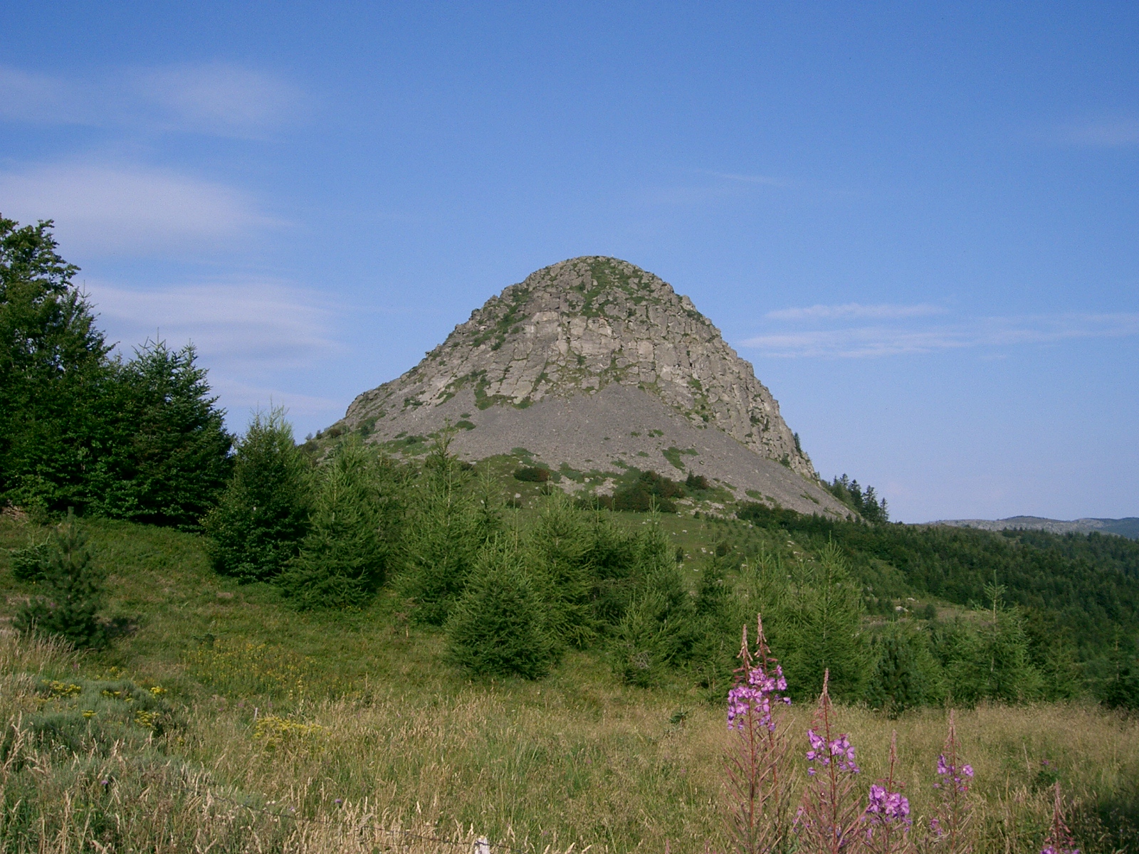
© mikeos / Magnific
Sources and licences
- Wikidata: Q65953527
- OpenStreetMap: relation 1178075
- WDPA: 345944
References
- cds.climate.copernicus.eu: climate · CC-BY-4.0
- registry.opendata.aws: elevation of the reference point, detailed relief · PD
- land.copernicus.eu: land cover, land cover change, sea share · COPERNICUS
- doi.org: population around the site · CC-BY-4.0
- wikidata.org: official area, establishment date, nearby cities and airport, access and peaks, lake depths, places to see · CC0-1.0
- eea.europa.eu: bathing water quality, ecological status of waters · CC-BY-4.0
- en.eurovelo.com: EuroVelo cycle routes · ODbL-1.0
- cycling.waymarkedtrails.org: cycle routes · ODbL-1.0
- opentopodata.org: elevations · PD
- forest-fire.emergency.copernicus.eu: wildfires · COPERNICUS
- globalforestwatch.org: tree cover loss · CC-BY-4.0
- gbif.org: seasonality of sightings, invasive alien species, observed species · CC-BY-4.0
- infoterre.brgm.fr: geology · LO-2.0
- pop.culture.gouv.fr: protected heritage · LO-2.0
- hydrosheds.org: lakes · CC-BY-4.0
- natura2000.eea.europa.eu: Natura 2000 habitats and species · CC-BY-4.0
- openstreetmap.org: official name, access and peaks, places to see · ODbL-1.0
- earthobservatory.nasa.gov: night light · PD
- nsidc.org: snow cover · PD
Data © OpenStreetMap contributors (ODbL), Wikidata (CC0) and the sources cited.