Overview
Protected area in France.
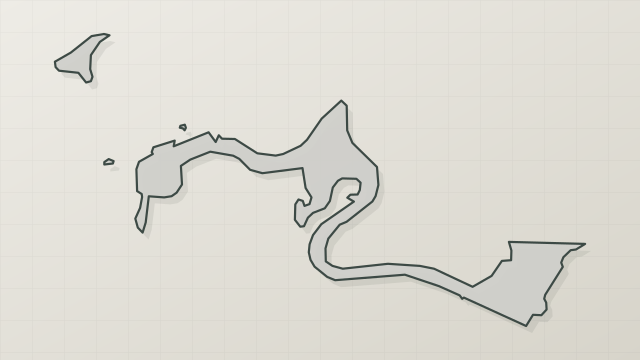
Vallée de la Thines is a protected area in France (Europe). It is a predominantly terrestrial area.
In our collections
Frequently asked questions
Where is Vallée de la Thines?
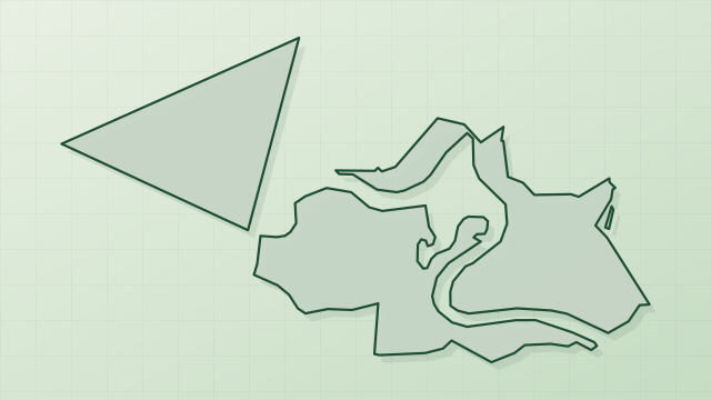
In France (Europe). Representative point: 44.4508° N, 4.0503° E.
What habitats and landscapes does Vallée de la Thines include?
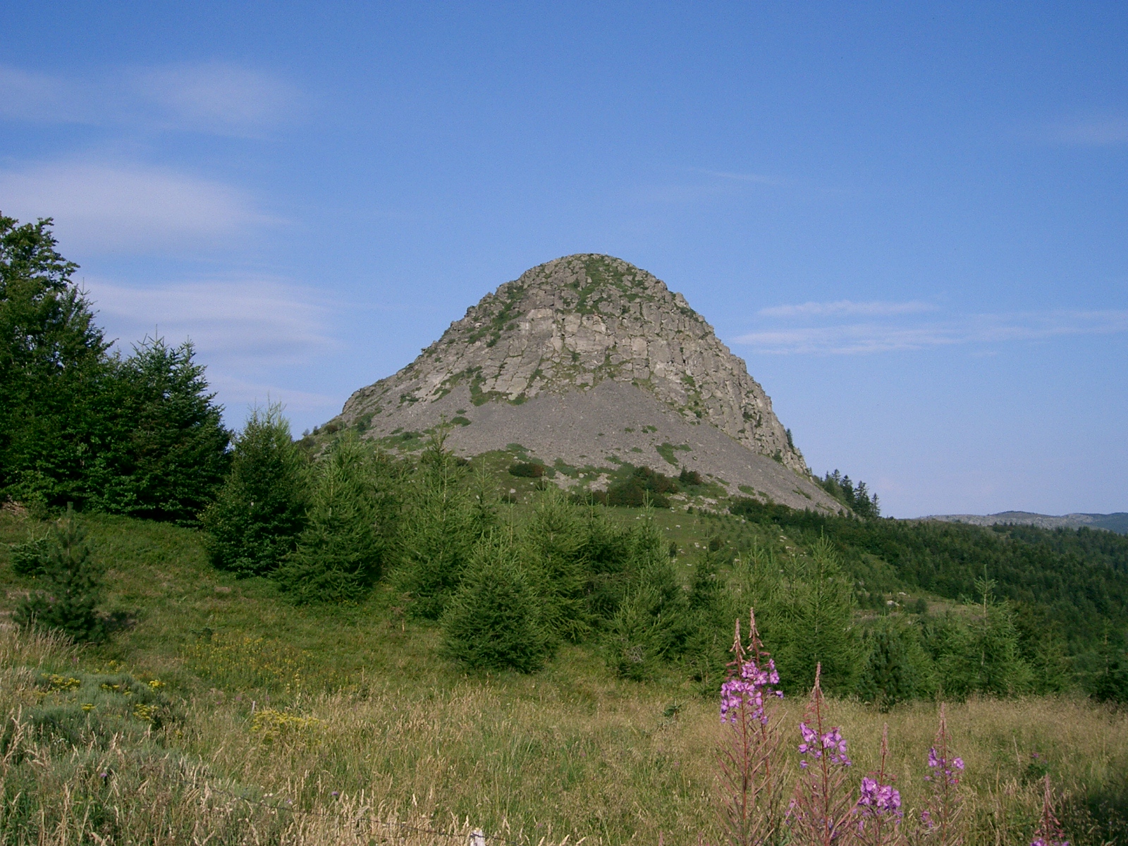
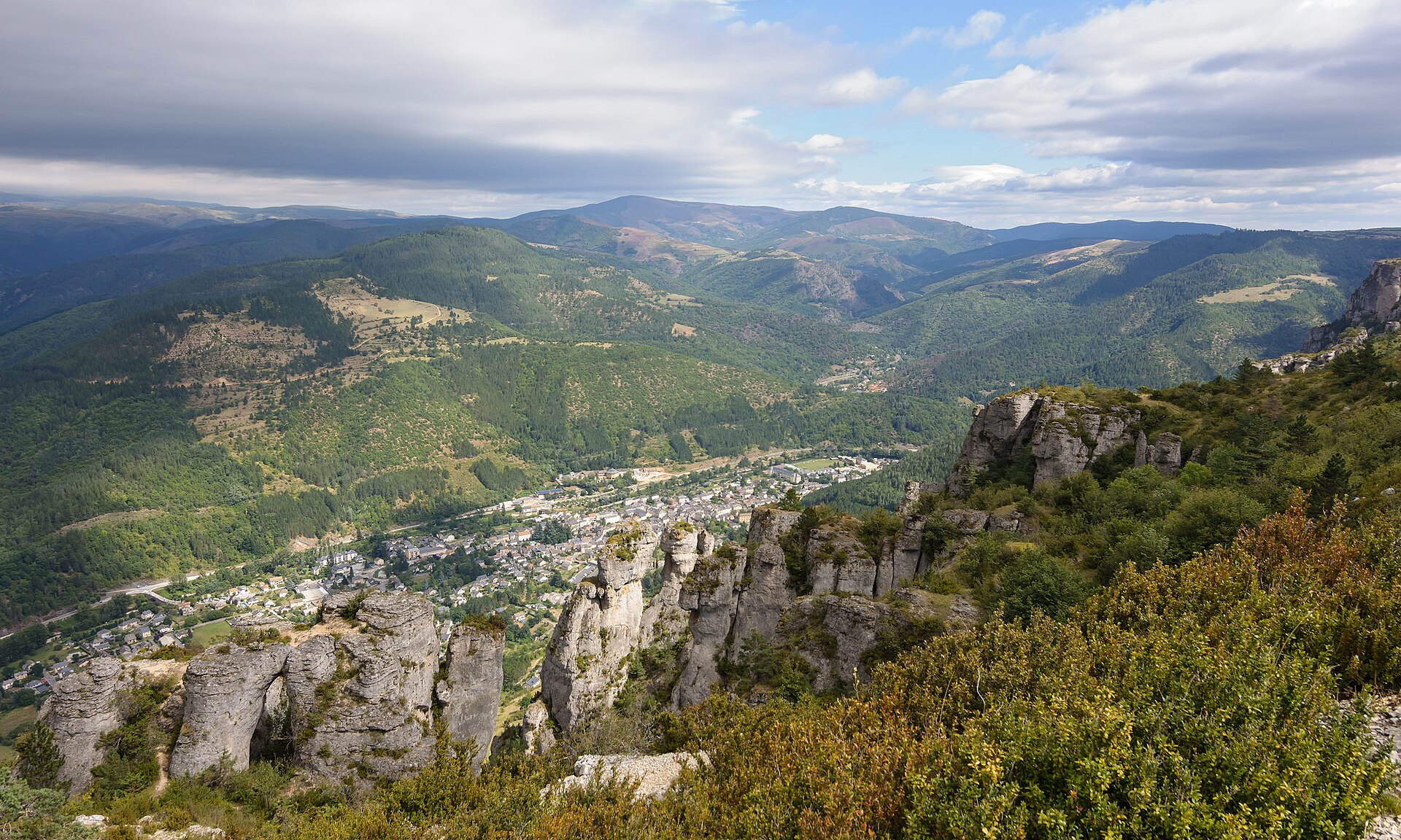
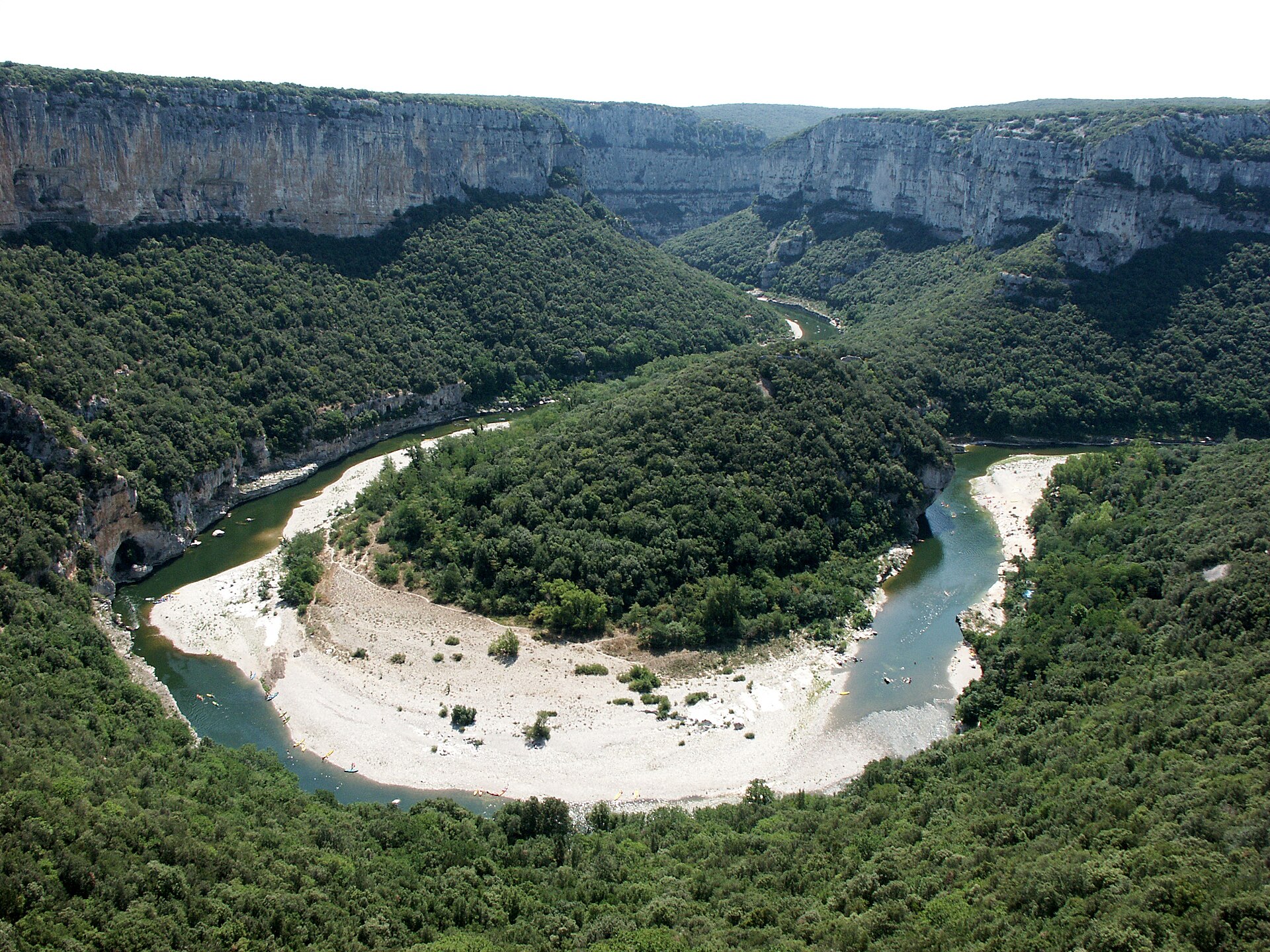
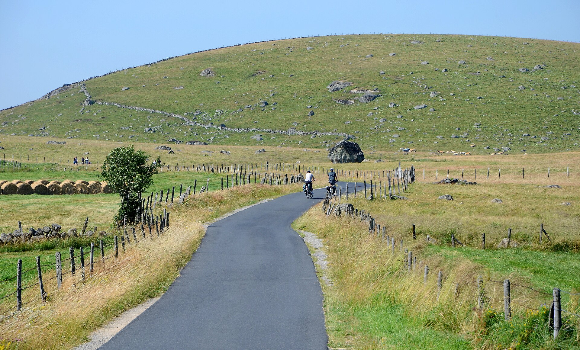
A terrestrial area, with forests.
When is the best time to visit Vallée de la Thines?
Best time to visit: from April to September, with average temperatures of 12 to 23 °C and moderate rainfall.
What is the nearest large city to Vallée de la Thines?
Nearest towns of over 50,000 people, as the crow flies: Nîmes (72 km) and Avignon (82 km). Nearest airport: Nîmes-Alès-Camargue-Cévennes (FNI), about 82 km away.
Which species can be seen in Vallée de la Thines?
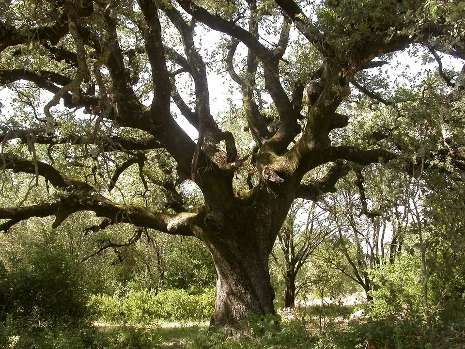
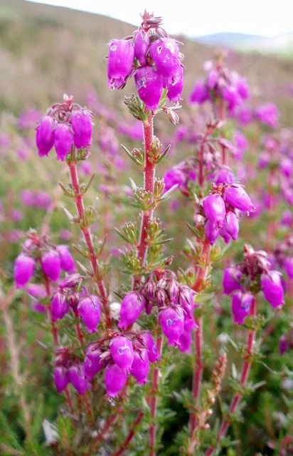
Among the species most often recorded on GBIF are Calluna vulgaris (Scottish Heather), Quercus ilex (Holm Oak), Castanea sativa (Sweet Chestnut) and Teucrium scorodonia (Woodland germander).
© OpenStreetMap
Download the boundary: GeoJSON · GPX Boundary © OpenStreetMap contributors (ODbL).
Geography
The representative point of the site lies at around 225 m above sea level. Over the 1996–2025 period, the mean annual temperature is about 13.6 °C and total precipitation reaches roughly 1,341 mm per year. The warmest month is usually July, the coolest January, and the wettest October.
Area
- Elevation
- 225 m
- Coordinates
- 44.4508, 4.0503
Climate
● Mean temperature (°C) · ▮ Precipitation (mm)
Source: Copernicus ERA5-Land (C3S, doi:10.24381/cds.68d2bb30), monthly averages 1996–2025 interpolated to the representative point, temperatures adjusted for elevation.
Contains modified Copernicus Climate Change Service information 2026. Neither the European Commission nor ECMWF is responsible for any use that may be made of the Copernicus information or data it contains.
Natural habitats
According to CORINE Land Cover (2018), the site is mainly made up of forests (84%) and heath and scrub (15%). Woodland is mostly broadleaved.
Biodiversity
Based on occurrences aggregated by GBIF, several species are regularly recorded within the site. Among the most frequent are Calluna vulgaris (Scottish Heather), Quercus ilex (Holm Oak), Castanea sativa (Sweet Chestnut) and Teucrium scorodonia (Woodland germander). The full list of documented taxa is shown below.
Species to look out for
Plant
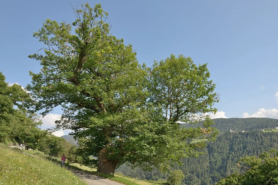
Sweet Chestnut
Castanea sativa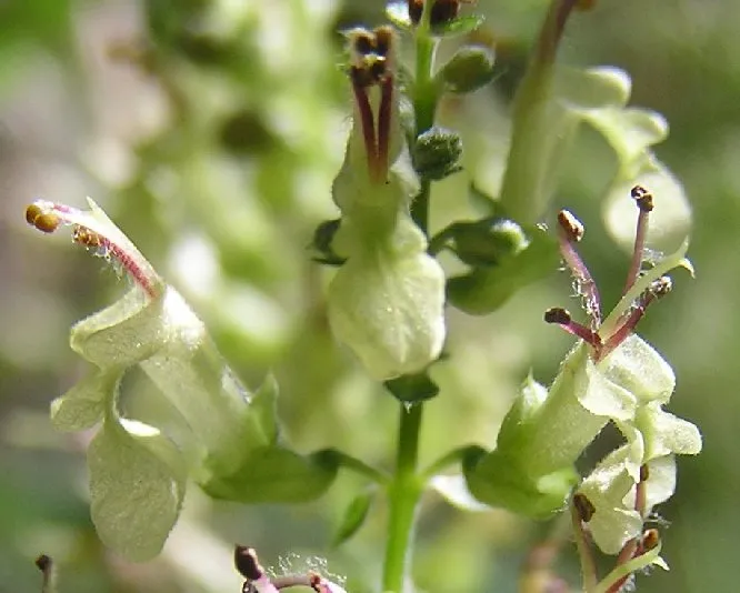
Fish
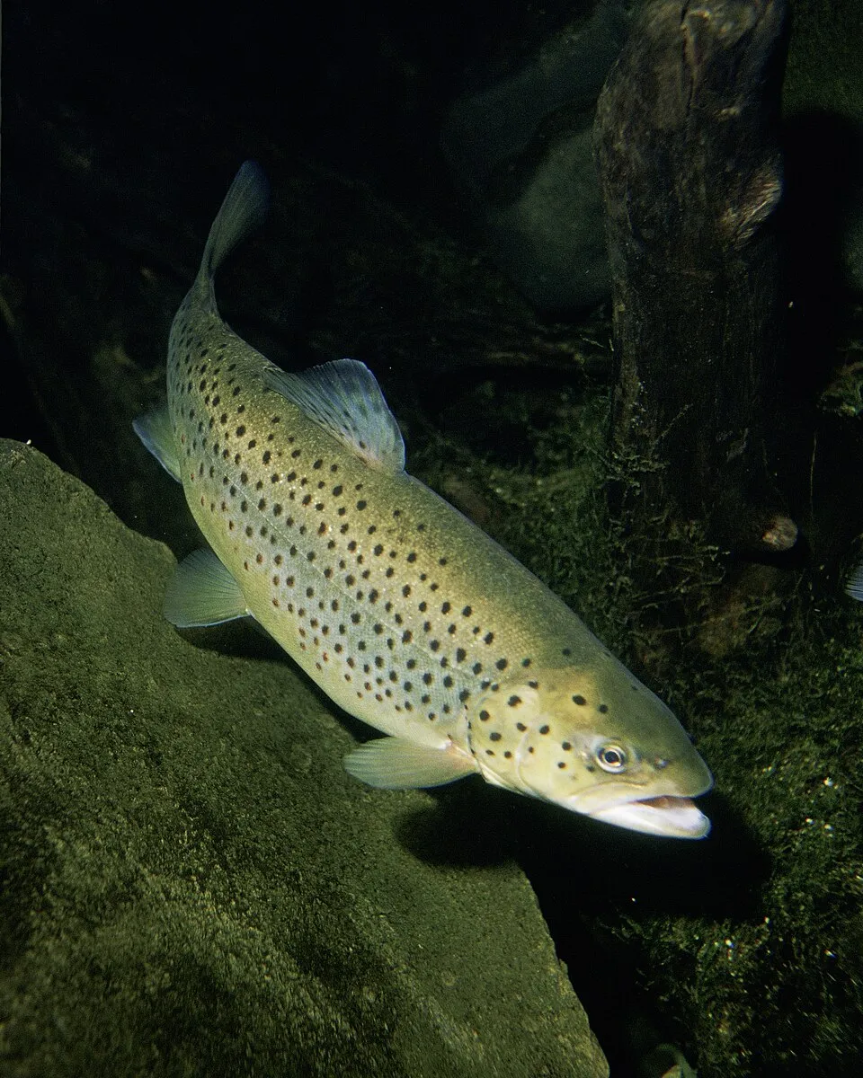
Brown Trout
Salmo trutta513 records © Eric Engbretson for U.S. Fish and Wildlife Service · Public domain
Observed species
Occurrences documented via GBIF; they are neither an exhaustive inventory nor proof of current presence.
- Scottish Heather · Calluna vulgaris · 967
- Holm Oak · Quercus ilex · 627
- Sweet Chestnut · Castanea sativa · 549
- Woodland germander · Teucrium scorodonia · 527
- Bell heather · Erica cinerea · 518
- Brown Trout · Salmo trutta · 513
- Keeled Skimmer · Orthetrum coerulescens · 467
- Bracken · Pteridium aquilinum · 455
- Black pine · Pinus nigra · 427
- Common minnow · Phoxinus phoxinus · 374
- Large Red Damselfly · Pyrrhosoma nymphula · 367
- Common Blackbird · Turdus merula · 352
+18 more species
- Wavy hairgrass · Avenella flexuosa · 352
- Common Ivy · Hedera helix · 341
- Broom · Cytisus scoparius · 340
- Maidenhair Spleenwort · Asplenium trichomanes · 336
- Dwarf rush · Juncus capitatus · 334
- Tongue-orchid · Serapias lingua · 322
- Salvia cistus · Cistus salviifolius · 316
- Common Alder · Alnus glutinosa · 301
- Ribwort Plantain · Plantago lanceolata · 298
- Centaurea pectinata · 293
- Hairy greenweed · Genista pilosa · 288
- Pyrenean broom · Cytisus oromediterraneus · 288
- Trailing Snapdragon · Asarina procumbens · 283
- Salad Burnet · Poterium sanguisorba · 281
- Heath spotted orchid · Dactylorhiza maculata · 275
- Silver hairgrass · Aira caryophyllea · 274
- Maritime pine · Pinus pinaster · 272
- Holly · Ilex aquifolium · 271
Records: GBIF.org (CC-BY). Names: Wikidata (CC0), GBIF. Photos: Wikimedia Commons.
Conservation challenges
The primary purpose of the site is to preserve its natural habitats and the biodiversity they support. The species recorded (Biodiversity tab) reflect its ecological value. Its status as a protected area sets the regulatory framework for its protection.
Since 2000, 47 invasive alien species have been recorded within the site (GBIF observations), 6 of them listed as of Union concern under EU Regulation 1143/2014. Among them: Ailanthus altissima (Tree-of-heaven), Broussonetia papyrifera (Paper mulberry) and Vespa velutina (Asian hornet).
Pressure indicators
Invasive alien species
47
incl. 6 of EU concern · since 2000
 Tree-of-heavenEU
 Paper mulberryEU
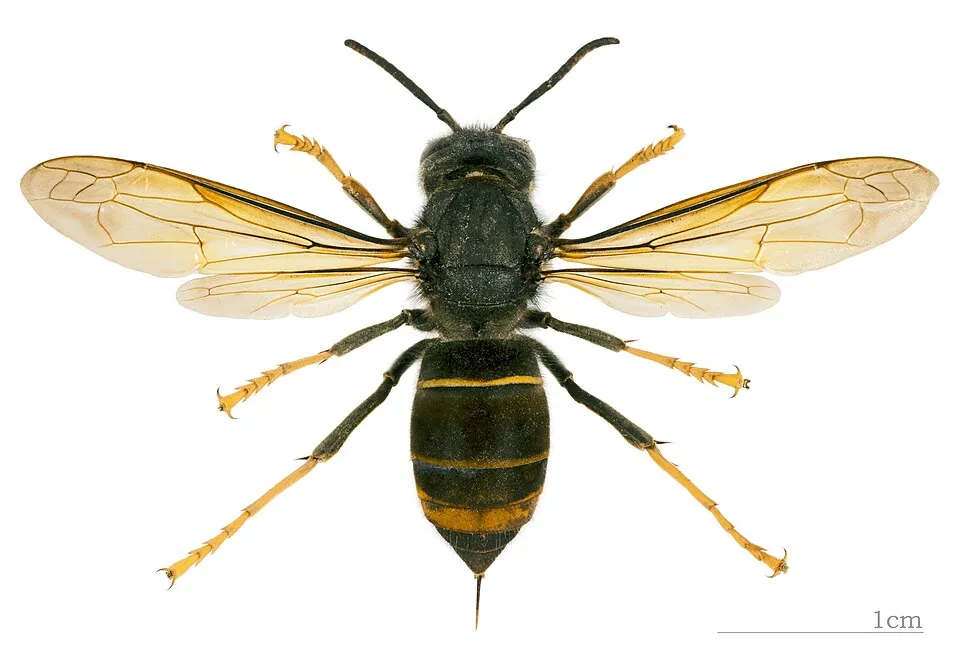 Asian hornetEU
 Japanese KnotweedEU
 Himalayan BalsamEU
Bohemian knotweedEU
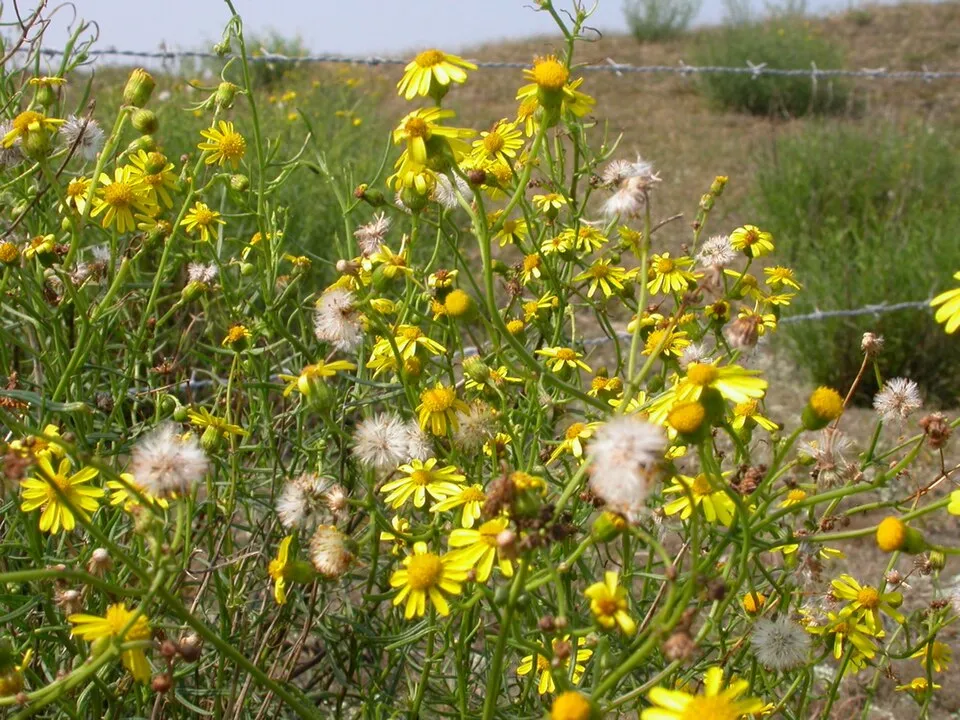 Narrow-leaved ragwort
 Black locust
Photos: Tree-of-heaven © Darkone · CC BY-SA 2.5; Paper mulberry © Didier Descouens · CC BY-SA 4.0; Asian hornet © Didier Descouens · CC BY-SA 4.0; Japanese Knotweed © W.carter · CC0-1.0; Himalayan Balsam © Guptaele · CC BY-SA 4.0; Narrow-leaved ragwort © Pieter Pelser · CC BY 3.0; Black locust © This Photo was taken by Wolfgang Moroder. Feel free to use my photos, but please mention me as the author and send me a message. This image is not in the public domain. Please respect the copyright protection. It may only be used according… · CC BY-SA 3.0
Sources: Global Forest Change (Hansen et al., University of Maryland, via Global Forest Watch, CC-BY 4.0); EFFIS, European Commission / Copernicus; NASA Black Marble 2016 (public domain); CORINE Land Cover 2018 (Copernicus) or MODIS.
Invasive alien species: Global Register of Introduced and Invasive Species (ISSG, CC BY 4.0); Union list, Regulation (EU) 1143/2014 (INBO, CC0); GBIF.org records (CC0 / CC BY 4.0), at least 2 per species.
Practical information
Cities and airport
- Nîmes
72 km as the crow flies - Avignon
82 km as the crow flies - Airport: Nîmes-Alès-Camargue-Cévennes (FNI)
82 km as the crow flies
Data © OpenStreetMap contributors (ODbL) · Wikidata (CC0)
Access and visiting
Nearest towns of over 50,000 people, as the crow flies: Nîmes (72 km) and Avignon (82 km). Nearest airport: Nîmes-Alès-Camargue-Cévennes (FNI), about 82 km away. To plan a visit (access, opening periods, visitor rules), it is best to consult the official information from the managing body and the official website listed in this page's sources.
Source: OpenStreetMap (ODbL), Wikidata (CC0).
When to visit
Best time to visit: from April to September, with average temperatures of 12 to 23 °C and moderate rainfall. Precipitation peaks in October and November (up to 210 mm per month). Day length ranges from about 8 h 51 min in December to 15 h 31 min in June.
Source: Copernicus ERA5-Land (C3S), monthly averages 1996–2025 at the representative point, temperatures adjusted for elevation.
Contains modified Copernicus Climate Change Service information 2026. Neither the European Commission nor ECMWF is responsible for any use that may be made of the Copernicus information or data it contains.
Gallery
© Markus Braun · Public domain
© Patrice78500 · CC BY-SA 3.0
© Ophrys34 · CC BY-SA 3.0
© Édouard Hue (User:EdouardHue) · CC BY-SA 4.0
© Nicolas Van Leekwijck fabrikgrafik · CC0-1.0
© Kmyle · CC BY-SA 4.0
Sources and licences
- Wikidata: Q125090
- Wikipedia: fr.wikipedia.org/wiki/Vallée_de_la_Thines
References
- cds.climate.copernicus.eu: climate · CC-BY-4.0
- registry.opendata.aws: elevation of the reference point · PD
- land.copernicus.eu: land cover, sea share · COPERNICUS
- opentopodata.org: elevations · PD
- gbif.org: invasive alien species, observed species · CC-BY-4.0
- wikidata.org: official name, nearby cities and airport · CC0-1.0
- nsidc.org: snow cover · PD
- wikidata.org: Wikipedia article · CC-BY-SA-4.0
Data © OpenStreetMap contributors (ODbL), Wikidata (CC0) and the sources cited.