France · Terrestrial
Sablière et Glacière
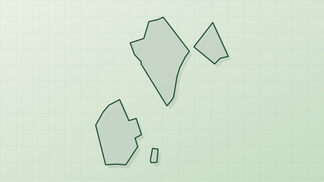
Protected area of 4 hectares in France.
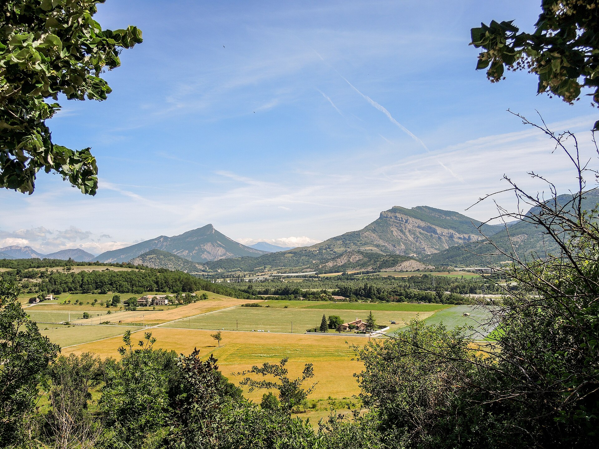
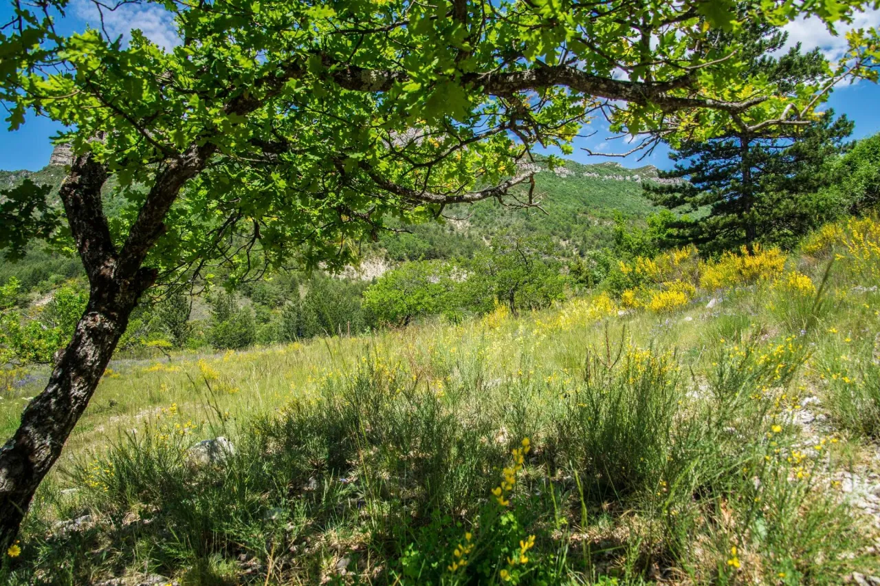
Illustrative photo · Drôme · © photobertrand42 / Magnific
Overview
Protected area of 4 hectares in France.
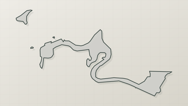
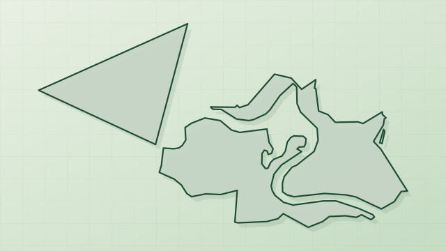
Sablière et Glacière is a protected area in France (Europe). It is a predominantly terrestrial area. It covers about 4 hectares.
Protections and designations
Natura 2000 · habitats (SAC)
- Sables du Tricastin FR8201676
Designated as a protected area. International labels and designations: Natura 2000 network (1 site: “Sables du Tricastin”).
In our collections
Frequently asked questions
Where is Sablière et Glacière?
In France (Europe). Representative point: 44.4427° N, 4.8363° E.
How large is Sablière et Glacière?
About 4 hectares. It is the 31st largest of the 32 other protected areas in France covered by Parkavela.
What habitats and landscapes does Sablière et Glacière include?
A terrestrial area, with forests.
What rocks lie beneath Sablière et Glacière?
According to the BRGM's simplified lithological map, the bedrock consists mainly of sandstones (69% of sampled points) and limestones, marls and gypsum (31%). These are mostly sedimentary rocks.
Which international labels apply to Sablière et Glacière?
Natura 2000 network (1 site: “Sables du Tricastin”).
When is the best time to visit Sablière et Glacière?
Best time to visit: from April to September, with average temperatures of 11 to 23 °C and moderate rainfall.
What is the nearest large city to Sablière et Glacière?
Nearest towns of over 50,000 people, as the crow flies: Valence (54 km) and Avignon (55 km). Nearest airport: Nîmes-Alès-Camargue-Cévennes (FNI), about 83 km away.
How can I reach Sablière et Glacière by train?
The nearest railway station is Donzère, about 10 km from the site boundary.
Which species can be seen in Sablière et Glacière?
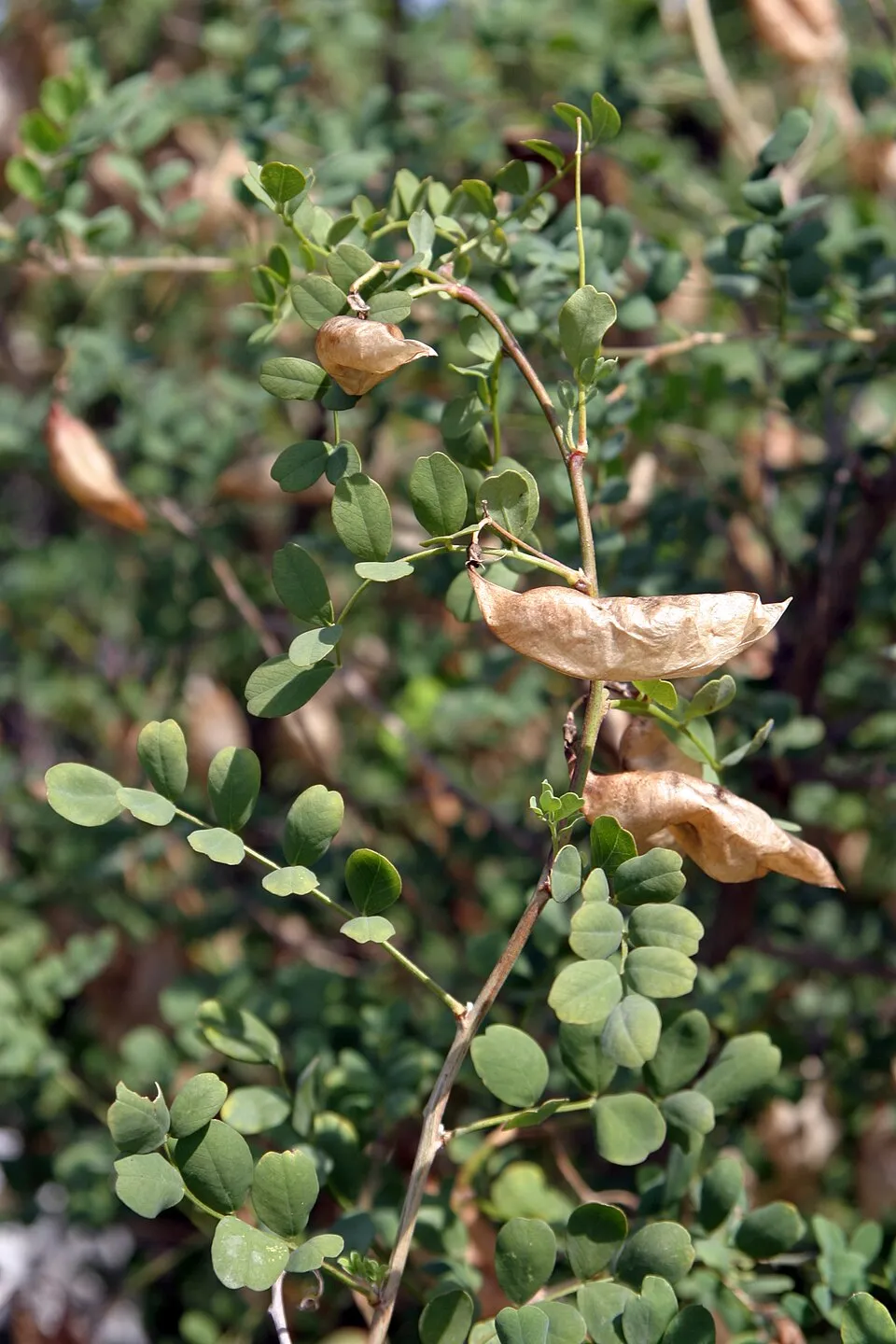
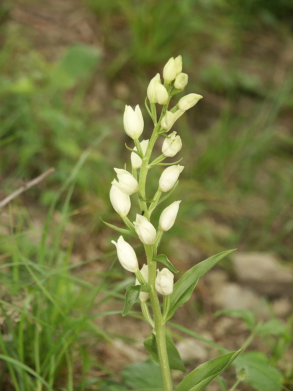
Among the species most often recorded on GBIF are Colutea arborescens (Bladder senna), Eleocharis palustris (Common Spike-rush), Cephalanthera damasonium (White helleborine) and Damasonium polyspermum (Starfruit).
© OpenStreetMap
Download the boundary: GeoJSON · GPX Boundary © OpenStreetMap contributors (ODbL).
Geography
The representative point of the site lies at around 271 m above sea level. Over the 1996–2025 period, the mean annual temperature is about 13.0 °C and total precipitation reaches roughly 802 mm per year. The warmest month is usually July, the coolest January, and the wettest November. According to the BRGM's simplified lithological map, the bedrock consists mainly of sandstones (69% of sampled points) and limestones, marls and gypsum (31%). These are mostly sedimentary rocks.
Area
- Area of the boundary
- 3.9 ha
- Elevation
- 271 m
- Coordinates
- 44.4427, 4.8363
Bedrock
- Sandstones 69 %
- Limestones, marls and gypsum 31 %
Sedimentary rocks 100 %
Source: BRGM, simplified lithological map at 1:1,000,000 (Licence Ouverte), 16 points sampled within the boundary.
Climate
● Mean temperature (°C) · ▮ Precipitation (mm)
Source: Copernicus ERA5-Land (C3S, doi:10.24381/cds.68d2bb30), monthly averages 1996–2025 interpolated to the representative point, temperatures adjusted for elevation.
Contains modified Copernicus Climate Change Service information 2026. Neither the European Commission nor ECMWF is responsible for any use that may be made of the Copernicus information or data it contains.
Natural habitats
According to CORINE Land Cover (2018), the site is mainly made up of heath and scrub (86%) and farmland (14%). The Natura 2000 site overlapping the area lists 10 habitats of European interest (3 priority), the most extensive being Quercus ilex and Quercus rotundifolia forests, Salix alba and Populus alba galleries and arborescent matorral with Juniperus spp.
Biodiversity
Based on occurrences aggregated by GBIF, several species are regularly recorded within the site. Among the most frequent are Colutea arborescens (Bladder senna), Eleocharis palustris (Common Spike-rush), Cephalanthera damasonium (White helleborine) and Damasonium polyspermum (Starfruit). The full list of documented taxa is shown below. The overlapping Natura 2000 site lists 19 species of European interest: 10 mammals, 1 amphibian, 2 fish and 6 invertebrates.
Habitats of European interest
From the official form of the Natura 2000 site overlapping the area (areas reported for the whole site).
- Quercus ilex and Quercus rotundifolia forests 230 ha
- Salix alba and Populus alba galleries 150 ha
- Arborescent matorral with Juniperus spp. 25 ha
- Xeric sand calcareous grasslands priority 15 ha
- Constantly flowing Mediterranean rivers with Glaucium flavum 15 ha
- Lowland hay meadows (Alopecurus pratensis, Sanguisorba officinalis) 6 ha
- Mediterranean tall humid grasslands of the Molinio-Holoschoenion 4 ha
- Calcareous fens with Cladium mariscus and species of the Caricion davallianae priority 3 ha
and 2 more
Species of European interest
Mammals · 10
Barbastelle (Barbastella barbastellus), Eurasian Beaver (Castor fiber), Eurasian otter (Lutra lutra), Common bent-wing bat (Miniopterus schreibersii), Bechstein's bat (Myotis bechsteinii), Lesser mouse-eared myotis (Myotis blythii), Geoffroy's bat (Myotis emarginatus), Greater mouse-eared bat (Myotis myotis), Greater Horseshoe Bat (Rhinolophus ferrumequinum), Lesser horseshoe bat (Rhinolophus hipposideros)
Amphibians · 1
Invertebrates · 6
White-clawed Crayfish (Austropotamobius pallipes), Greater Capricorn Beetle (Cerambyx cerdo), Southern damselfly (Coenagrion mercuriale), Marsh fritillary (Euphydryas aurinia), Common Predatory Bush-cricket (Saga pedo), Southern Festoon (Zerynthia polyxena)
Source: Natura 2000 standard data forms (EEA, CC-BY 4.0). Not exhaustive: sensitive species are not published.
Species to look out for

Observed species
Occurrences documented via GBIF; they are neither an exhaustive inventory nor proof of current presence.
- Bladder senna · Colutea arborescens · 5
- Common Spike-rush · Eleocharis palustris · 4
- White helleborine · Cephalanthera damasonium · 4
- Starfruit · Damasonium polyspermum · 4
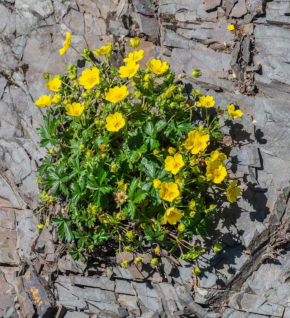
- Creeping cinquefoil · Potentilla reptans · 4
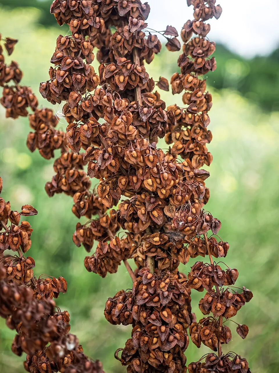
- Curled Dock · Rumex crispus · 4
- Sisymbrella aspera · 3
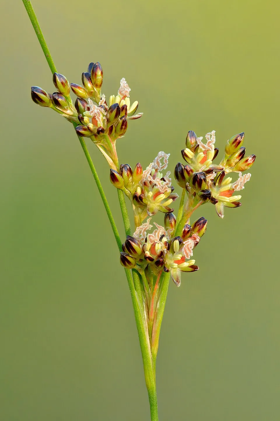
- Round-fruited Rush · Juncus compressus · 2
- Canada bluegrass · Poa compressa · 2
- Hairy sedge · Carex hirta · 2
- Sea Couch · Elymus pungens · 2
- Giant orchid · Himantoglossum robertianum · 2
+5 more species
Records: GBIF.org (CC-BY). Names: Wikidata (CC0), GBIF. Photos: Wikimedia Commons.
Conservation challenges
The primary purpose of the site is to preserve its natural habitats and the biodiversity they support. The species recorded (Biodiversity tab) reflect its ecological value. The designations it holds frame its management and the control of land use.
According to the Natura 2000 forms, of 9 assessed habitats of European interest, 3 are in average or reduced condition and the rest in good condition.
Pressure indicators
Fires since 2016
0
No large fire mapped (fires over about 30 ha)
Sources: Global Forest Change (Hansen et al., University of Maryland, via Global Forest Watch, CC-BY 4.0); EFFIS, European Commission / Copernicus; NASA Black Marble 2016 (public domain); CORINE Land Cover 2018 (Copernicus) or MODIS.
Practical information
Cities and airport
- Valence
54 km as the crow flies - Avignon
55 km as the crow flies - Airport: Nîmes-Alès-Camargue-Cévennes (FNI)
83 km as the crow flies
Data © OpenStreetMap contributors (ODbL) · Wikidata (CC0)
Access and visiting
The nearest railway station is Donzère, about 10 km from the site boundary. Nearest towns of over 50,000 people, as the crow flies: Valence (54 km) and Avignon (55 km). Nearest airport: Nîmes-Alès-Camargue-Cévennes (FNI), about 83 km away. About 170,000 people live within 20 km of the site boundary, 20,000 of them within 10 km (GHSL estimate, 2020). This population has grown by about 15% since 2000. To plan a visit (access, opening periods, visitor rules), it is best to consult the official information from the managing body and the official website listed in this page's sources.
Source: OpenStreetMap (ODbL), Wikidata (CC0), October 2026.
When to visit
Best time to visit: from April to September, with average temperatures of 11 to 23 °C and moderate rainfall. Precipitation peaks in November (up to 110 mm per month). Day length ranges from about 8 h 51 min in December to 15 h 31 min in June. Wildlife records published on GBIF peak for plants (June). These peaks also reflect when observers are most active.
Source: Copernicus ERA5-Land (C3S), monthly averages 1996–2025 at the representative point, temperatures adjusted for elevation.
Contains modified Copernicus Climate Change Service information 2026. Neither the European Commission nor ECMWF is responsible for any use that may be made of the Copernicus information or data it contains.
Wildlife records calendar
JFMAMJJASOND
Plants
Monthly records published on GBIF (CC-BY), relative to the busiest month; also reflects observer activity.
Gallery
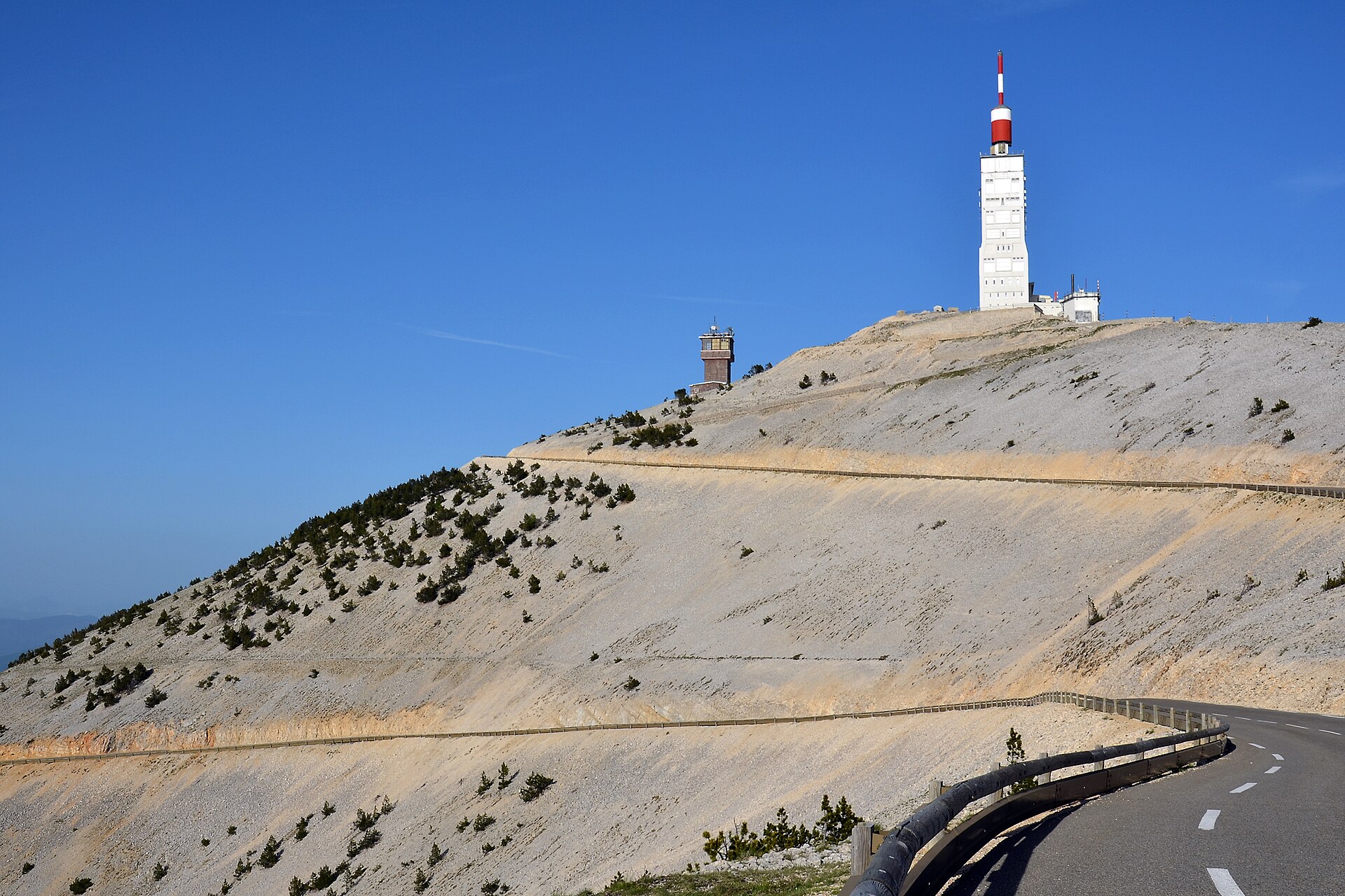
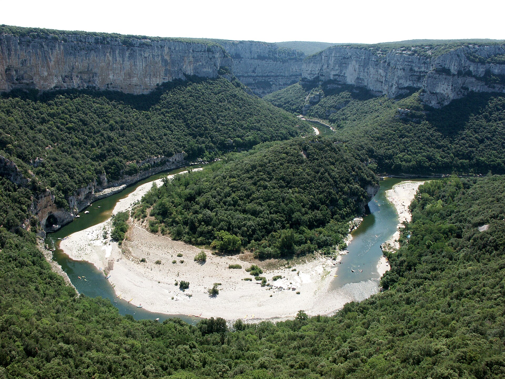
© photobertrand42 / Magnific
Sources and licences
- OpenStreetMap: relation 13590635
References
- cds.climate.copernicus.eu: climate · CC-BY-4.0
- registry.opendata.aws: elevation of the reference point, detailed relief · PD
- land.copernicus.eu: land cover, land cover change, sea share · COPERNICUS
- doi.org: population around the site · CC-BY-4.0
- openstreetmap.org: official name, access and peaks, places to see · ODbL-1.0
- eea.europa.eu: bathing water quality, ecological status of waters · CC-BY-4.0
- en.eurovelo.com: EuroVelo cycle routes · ODbL-1.0
- cycling.waymarkedtrails.org: cycle routes · ODbL-1.0
- opentopodata.org: elevations · PD
- forest-fire.emergency.copernicus.eu: wildfires · COPERNICUS
- globalforestwatch.org: tree cover loss · CC-BY-4.0
- gbif.org: seasonality of sightings, invasive alien species, observed species · CC-BY-4.0
- infoterre.brgm.fr: geology · LO-2.0
- pop.culture.gouv.fr: protected heritage · LO-2.0
- hydrosheds.org: lakes · CC-BY-4.0
- natura2000.eea.europa.eu: Natura 2000 habitats and species · CC-BY-4.0
- nsidc.org: snow cover · PD
- wikidata.org: nearby cities and airport, access and peaks, lake depths, places to see · CC0-1.0
Data © OpenStreetMap contributors (ODbL), Wikidata (CC0) and the sources cited.