
France · Terrestrial
Mont Ventoux Regional Natural Park
Regional nature park of 91,600 hectares in France, established in 2020.
Overview
Regional nature park of 91,600 hectares in France, established in 2020.
Mont Ventoux Regional Natural Park is a regional nature park in France (Europe). It is a predominantly terrestrial area. Established on 28 July 2020, it covers about 91,600 hectares.
Protections and designations
UNESCO Biosphere Reserve
Natura 2000 · habitats (SAC) · 3 sites
- Gorges de la Nesque FR9302003
- L'Ouvèze et le Toulourenc FR9301577
- Mont Ventoux FR9301580
Protected as a regional nature park. International labels and designations: UNESCO Biosphere Reserve (“Mont Ventoux”) and Natura 2000 network (3 sites). Key dates: first Natura 2000 site under the Habitats Directive in 2007, established in 2020 and Biosphere Reserve in 2020.
In our collections
Timeline
-
2007
First Natura 2000 site under the Habitats Directive 3 such sites designated up to 2010
-
2020
Established
-
2020
UNESCO Biosphere Reserve Mont Ventoux
Sources: Wikidata (CC0) for establishment and international labels; EEA Natura 2000 database (CC-BY 4.0) for site designation dates.
Frequently asked questions
Where is Mont Ventoux Regional Natural Park?
In France (Europe). Representative point: 44.1315° N, 5.2837° E.
How large is Mont Ventoux Regional Natural Park?
About 91,600 hectares (916 km²). It is the 40th largest of the 59 regional parks in France covered by Parkavela.
When was Mont Ventoux Regional Natural Park established?
On 28 July 2020.
What habitats and landscapes does Mont Ventoux Regional Natural Park include?
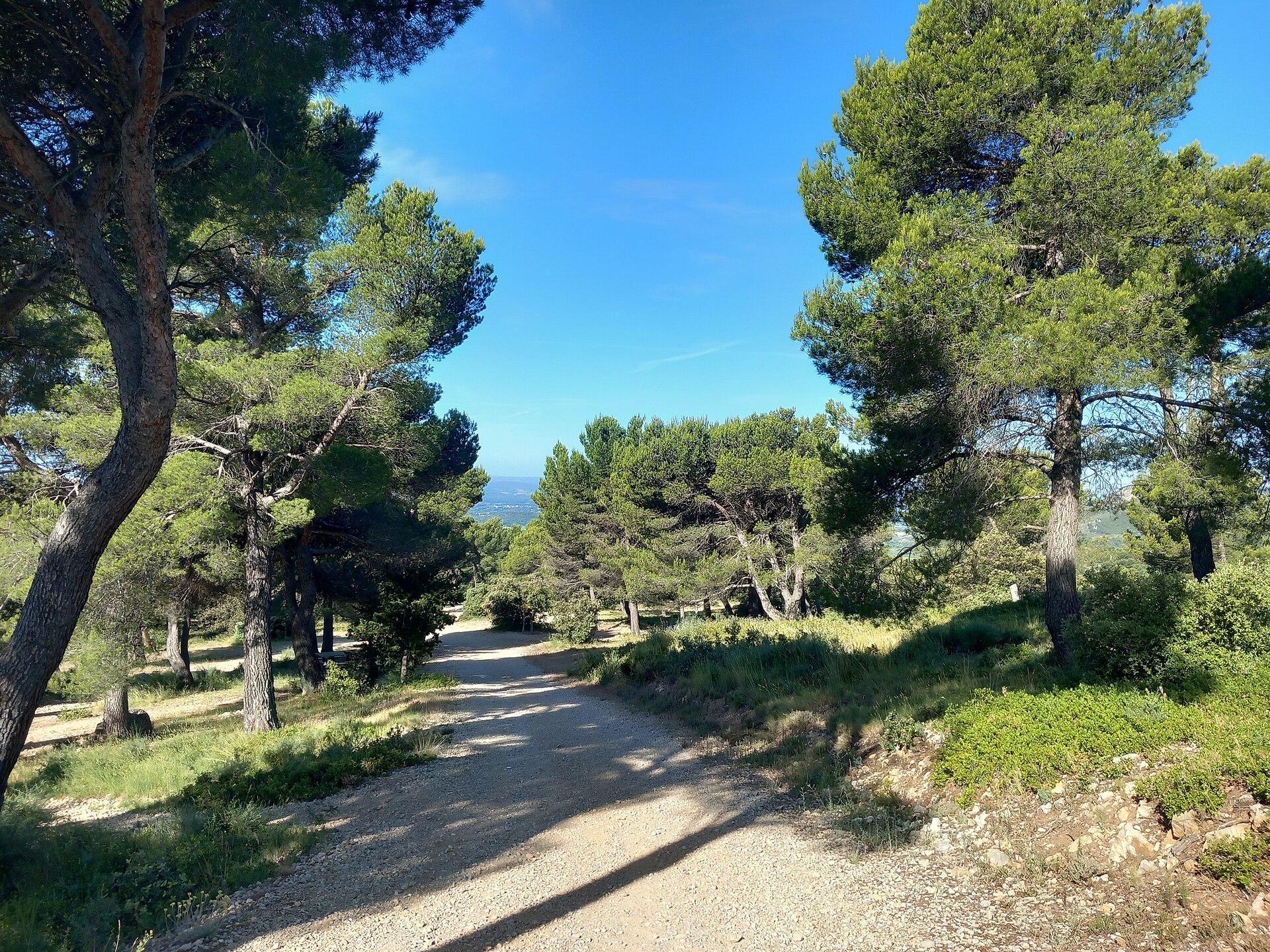
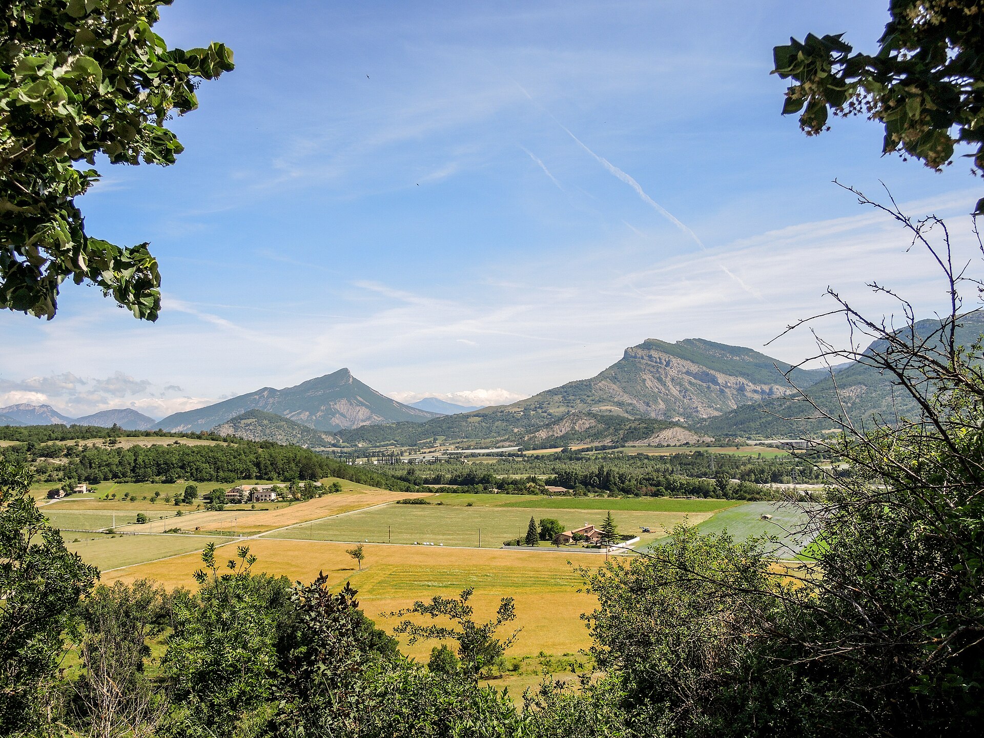
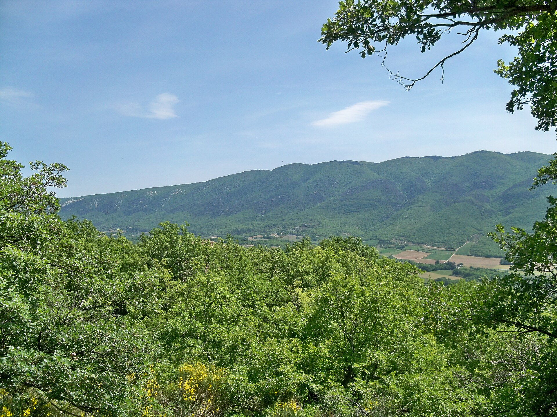
A terrestrial area, with forests and mountains.
What rocks lie beneath Mont Ventoux Regional Natural Park?
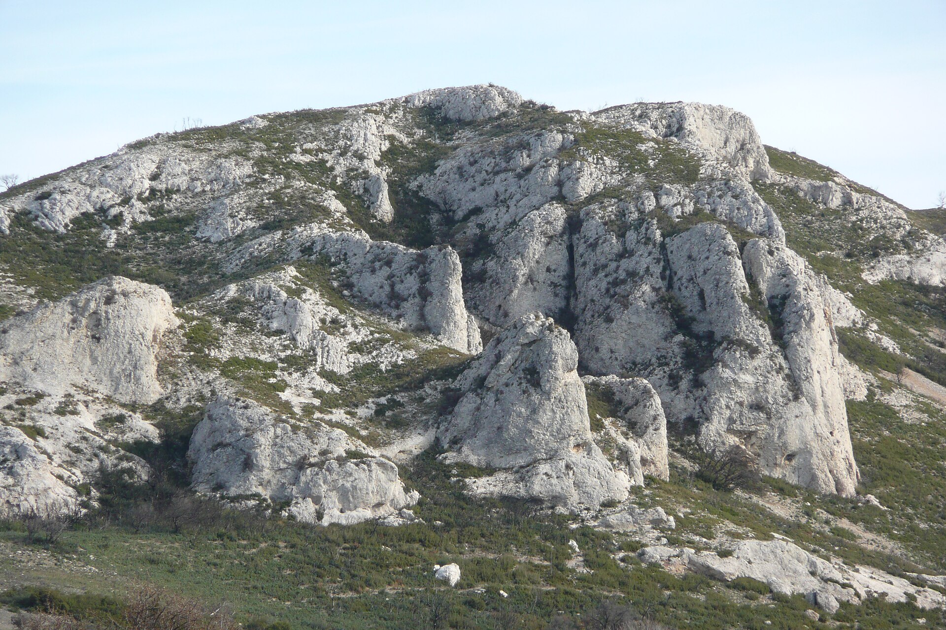
According to the BRGM's simplified lithological map, the bedrock consists mainly of limestones, marls and gypsum (56% of sampled points) and sandstones (38%). These are mostly sedimentary rocks.
What is the highest point of Mont Ventoux Regional Natural Park?
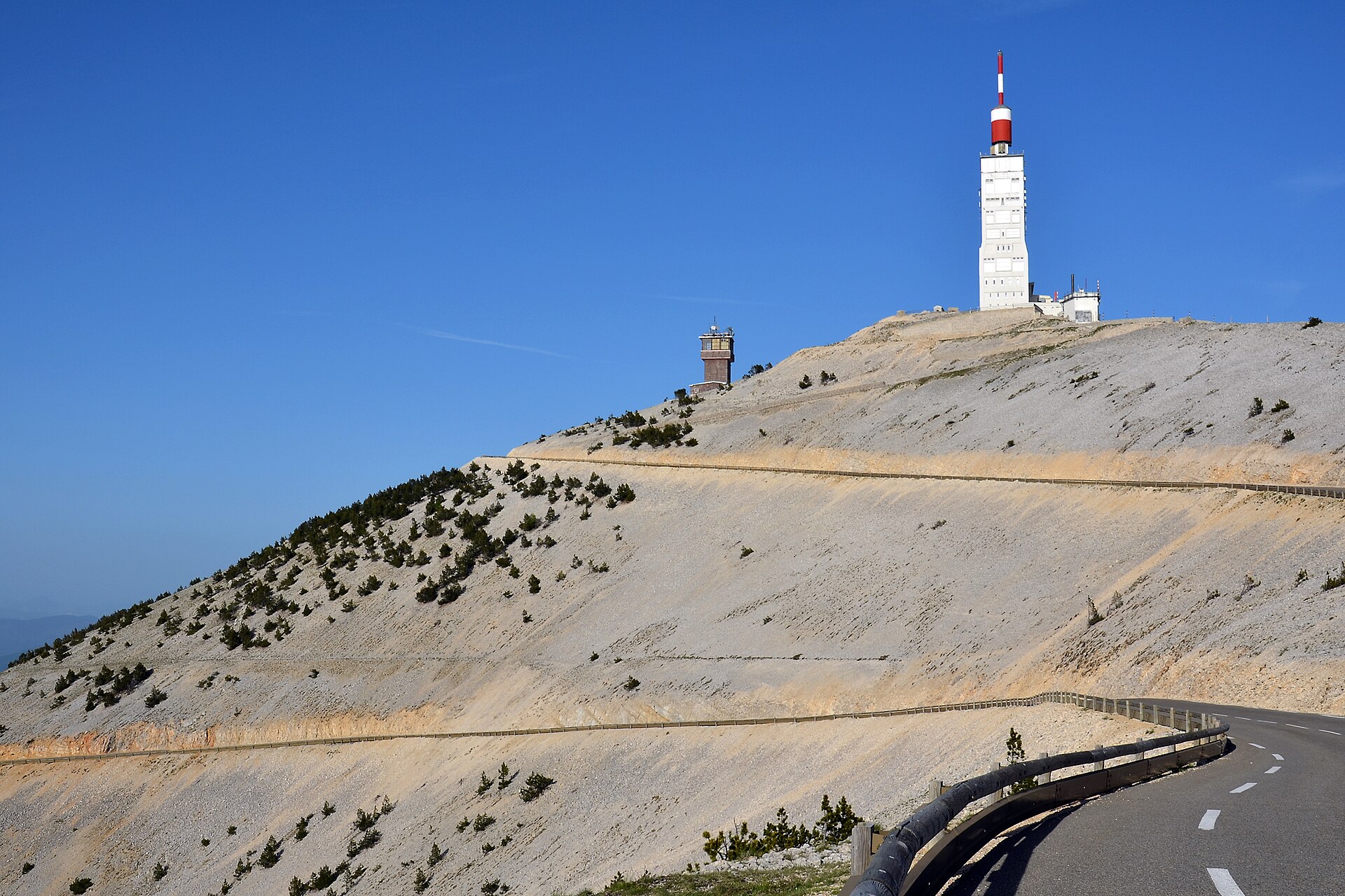
Mont Ventoux, at 1,910 m (OpenStreetMap).
What are the main summits of Mont Ventoux Regional Natural Park?
Mont Ventoux (1,910 m), Tête de la Grave (1,627 m), Pas de la Frache (1,585 m), Sommet de Bluye (1,063 m) and Collet de Réchaume (918 m) (OpenStreetMap).
Which international labels apply to Mont Ventoux Regional Natural Park?
UNESCO Biosphere Reserve (“Mont Ventoux”) and Natura 2000 network (3 sites).
When is the best time to visit Mont Ventoux Regional Natural Park?
Best time to visit: from June to September, with average temperatures of 14 to 19 °C and moderate rainfall.
What is there to see in Mont Ventoux Regional Natural Park?
67 viewpoints, 3 waterfalls, 11 lakes and ponds and 54 caves, including Col de la Chaine (472 m), Cascade de Boudelly, Bassin D.F.C.I. and Bauma dis Auzièras No. 1 (355 m) (OpenStreetMap).
Where can I stay in Mont Ventoux Regional Natural Park?
3 mountain huts and 38 campsites, including Le Contrat (1,413 m), Aire CAMPING-CAR PARK de Bédoin, Mont Ventoux and Jas de la Couanche (1,142 m) (OpenStreetMap).
Are there historic monuments in Mont Ventoux Regional Natural Park?
Yes. According to the French Ministry of Culture's Mérimée database, 85 historic monuments stand within the boundary, 36 of them with the highest level of protection (classé). For example: “Arc romain dans l'enceinte du Palais de Justice” in Carpentras, “Chapelle Notre-Dame-du-Groseau” in Malaucène and “Château du Barroux” in Le Barroux.
Can you swim in Mont Ventoux Regional Natural Park?
5 monitored bathing sites lie in or within 1 km of the site; official 2025 classification: 3 excellent, 1 sufficient and 1 poor (European Environment Agency). Swimming is only permitted at the sites and times authorised locally.
What is the nearest large city to Mont Ventoux Regional Natural Park?
Nearest towns of over 50,000 people, as the crow flies: Avignon (19 km) and Arles (45 km). Nearest airport: Nîmes-Alès-Camargue-Cévennes (FNI), about 55 km away.
How can I reach Mont Ventoux Regional Natural Park by train?
The nearest railway station is Carpentras, less than 1 km from the site boundary.
Where can I get visitor information on site?
Yourte d'accueil, Maison du tourisme and Office du Tourisme d'Entrechaux.
Are there waymarked hiking trails in Mont Ventoux Regional Natural Park?
Yes. Waymarked hiking routes listed in OpenStreetMap: 837, including GR 91 and Tour des Baronnies provençales. The GR 91 · Traversée du Vercors Nord-Sud - Classique route runs for about 70 km through the site, with some 1,520 m of ascent on its longest section.
Which species can be seen in Mont Ventoux Regional Natural Park?
Among the species most often recorded on GBIF are Parus major (Great tit), Fringilla coelebs (Eurasian Chaffinch), Erithacus rubecula (European robin) and Turdus merula (Common Blackbird).
What is the official website of Mont Ventoux Regional Natural Park?
© OpenStreetMap
Download the boundary: GeoJSON · GPX Boundary © OpenStreetMap contributors (ODbL).
Geography
The representative point of the site lies at around 1,033 m above sea level. Over the 1996–2025 period, the mean annual temperature is about 9.2 °C and total precipitation reaches roughly 803 mm per year. The warmest month is usually July, the coolest January, and the wettest November. According to the BRGM's simplified lithological map, the bedrock consists mainly of limestones, marls and gypsum (56% of sampled points) and sandstones (38%). These are mostly sedimentary rocks.
Area
- Area
- 91,600 ha
- Elevation
- 1,033 m
- Median elevation
- 521 m
- Mean slope
- 8°
- Coordinates
- 44.1315, 5.2837
Terrain: Mapzen Terrain Tiles (SRTM, USGS)
Elevation bands
- below 500 m 49%
- 500–1,000 m 41%
- 1,000–1,500 m 10%
- 1,500–2,000 m 1%
share of the site in each elevation band (smoothed terrain model: summits are rounded off) · Terrain: Mapzen Terrain Tiles (SRTM, USGS)
Bedrock
- Limestones, marls and gypsum 56 %
- Sandstones 38 %
- Clays 6 %
Sedimentary rocks 100 %
Source: BRGM, simplified lithological map at 1:1,000,000 (Licence Ouverte), 16 points sampled within the boundary.
Main summits
- Mont Ventoux1,910 m
- Tête de la Grave1,627 m
- Pas de la Frache1,585 m
- Sommet de Bluye1,063 m
- Collet de Réchaume918 m
- Rocher du Cire872 m
- Tête du Gros Charne866 m
- Le Grand Barbeirol809 m
- La Montagne789 m
- Pié de Juin787 m
Data © OpenStreetMap contributors (ODbL)
Climate
● Mean temperature (°C) · ▮ Precipitation (mm)
Source: Copernicus ERA5-Land (C3S, doi:10.24381/cds.68d2bb30), monthly averages 1996–2025 interpolated to the representative point, temperatures adjusted for elevation.
Contains modified Copernicus Climate Change Service information 2026. Neither the European Commission nor ECMWF is responsible for any use that may be made of the Copernicus information or data it contains.
Natural habitats
According to CORINE Land Cover (2018), the site is mainly made up of forests (46%), farmland (39%) and Mediterranean scrub (5%). Woodland is mostly broadleaved. Elevation ranges from about 80 m to 1,910 m (highest point: Mont Ventoux). Median elevation is 521 m, and 11% of the site lies above 1,000 m (SRTM elevation model). The 3 Natura 2000 sites overlapping the area list 30 habitats of European interest (7 priority), the most extensive being Quercus ilex and Quercus rotundifolia forests, Medio-European limestone beech forests of the Cephalanthero-Fagion and Salix alba and Populus alba galleries.
Biodiversity
Based on occurrences aggregated by GBIF, several species are regularly recorded within the site. Among the most frequent are Parus major (Great tit), Fringilla coelebs (Eurasian Chaffinch), Erithacus rubecula (European robin) and Turdus merula (Common Blackbird). The full list of documented taxa is shown below. The overlapping Natura 2000 sites list 34 species of European interest: 10 mammals, 6 reptiles, 1 amphibian, 4 fish, 11 invertebrates and 2 plants.
Habitats of European interest
From the official forms of the 3 Natura 2000 sites overlapping the area (areas reported for each whole site).
- Quercus ilex and Quercus rotundifolia forests 558 ha
- Medio-European limestone beech forests of the Cephalanthero-Fagion 467 ha
- Salix alba and Populus alba galleries 389 ha
- Calcareous and calcshist screes of the montane to alpine levels (Thlaspietea rotundifolii) 343 ha
- Western Mediterranean and thermophilous scree 240 ha
- Subalpine and montane Pinus uncinata forests (* if on gypsum or limestone) 177 ha
- Semi-natural dry grasslands and scrubland facies on calcareous substrates (Festuco-Brometalia) (* important orchid sites) 167 ha
- Constantly flowing Mediterranean rivers with Paspalo-Agrostidion species and hanging curtains of Salix and Populus alba 155 ha
and 22 more
Species of European interest
Mammals · 10
Barbastelle (Barbastella barbastellus), Eurasian Beaver (Castor fiber), Common bent-wing bat (Miniopterus schreibersii), Bechstein's bat (Myotis bechsteinii), Lesser mouse-eared myotis (Myotis blythii), Long-fingered bat (Myotis capaccinii), Geoffroy's bat (Myotis emarginatus), Greater mouse-eared bat (Myotis myotis), Greater Horseshoe Bat (Rhinolophus ferrumequinum), Lesser horseshoe bat (Rhinolophus hipposideros)
Reptiles · 6
Dark green snake (Coluber viridiflavus), Smooth snake (Coronella austriaca), Aesculapian snake (Elaphe longissima), Green lizard (Lacerta viridis), Common wall lizard (Podarcis muralis), Meadow viper (Vipera ursinii)
Amphibians · 1
Fish · 4
Mediterranean Barbel (Barbus meridionalis), European bullhead (Cottus gobio), South-West European Nase (Parachondrostoma toxostoma), Souffia (Telestes souffia)
Invertebrates · 11
White-clawed Crayfish (Austropotamobius pallipes), Greater Capricorn Beetle (Cerambyx cerdo), Southern damselfly (Coenagrion mercuriale), Eastern Eggar (Eriogaster catax), Marsh fritillary (Euphydryas aurinia), Jersey Tiger (Euplagia quadripunctaria), Stag beetle (Lucanus cervus), Orange-spotted Emerald (Oxygastra curtisii), Southern Swallowtail (Papilio alexanor), Apollo (Parnassius apollo linne), Rosalia longicorn (Rosalia alpina)
Source: Natura 2000 standard data forms (EEA, CC-BY 4.0). Not exhaustive: sensitive species are not published.
Species to look out for



Observed species
Occurrences documented via GBIF; they are neither an exhaustive inventory nor proof of current presence.
- Great tit · Parus major · 4410
- Eurasian Chaffinch · Fringilla coelebs · 4117
- European robin · Erithacus rubecula · 4101
- Common Blackbird · Turdus merula · 3886
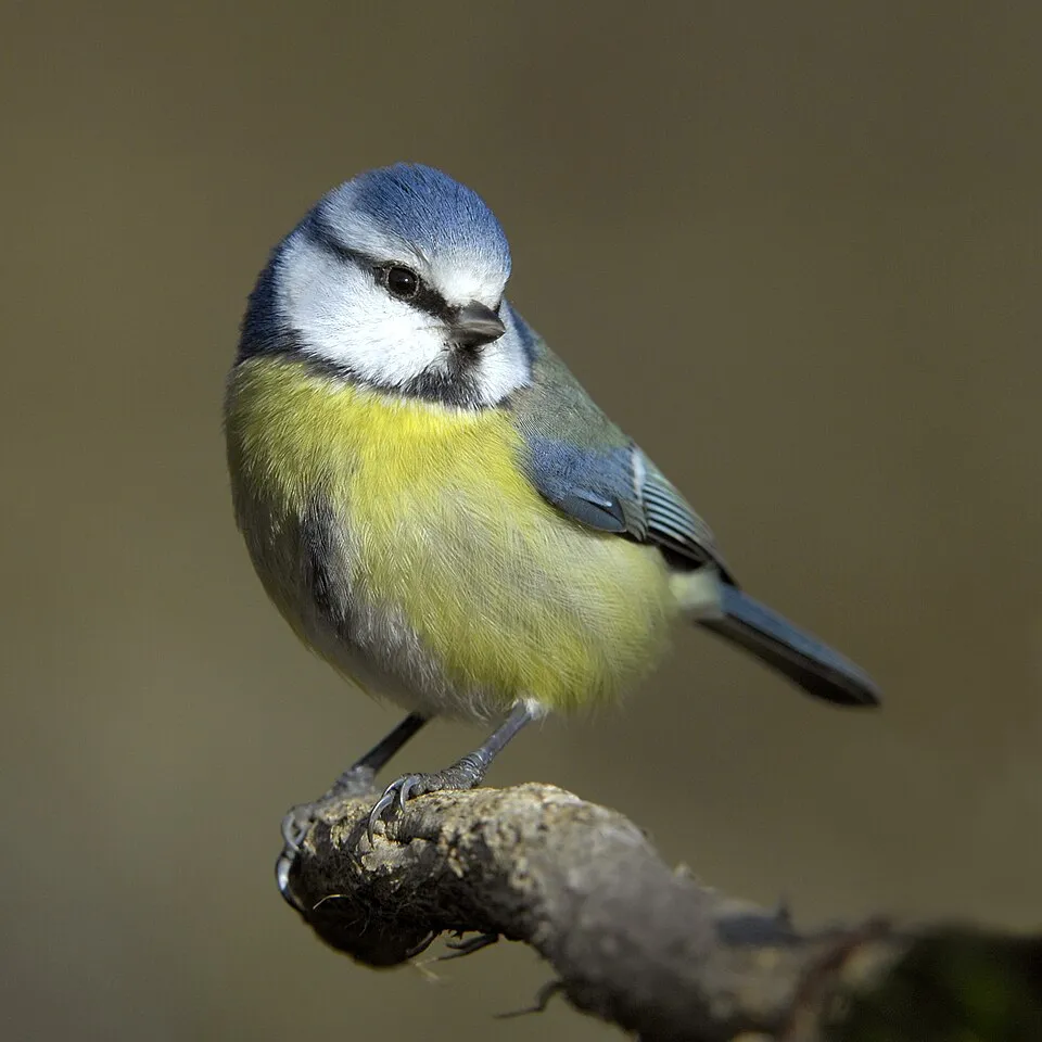
- Eurasian blue tit · Cyanistes caeruleus · 3547
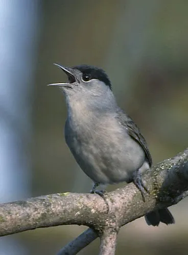
- Eurasian Blackcap · Sylvia atricapilla · 3484
- Common Wood Pigeon · Columba palumbus · 3265
- Eurasian Magpie · Pica pica · 3198
- Eurasian Jay · Garrulus glandarius · 3001
- Black Redstart · Phoenicurus ochruros · 2961
- European Goldfinch · Carduelis carduelis · 2880
- European Serin · Serinus serinus · 2772
+18 more species
- Eurasian Collared Dove · Streptopelia decaocto · 2749
- Carrion crow · Corvus corone · 2723
- House Sparrow · Passer domesticus · 2649
- Silver Eryngo · Eryngium spinalba · 2384
- Common Starling · Sturnus vulgaris · 2238
- European Green Woodpecker · Picus viridis · 2191
- Western Jackdaw · Coloeus monedula · 2048
- Cirl Bunting · Emberiza cirlus · 2030
- Woodlark · Lullula arborea · 2001
- Blue Aphyllanthes · Aphyllanthes monspeliensis · 1975
- Downy oak · Quercus pubescens · 1942
- Holm Oak · Quercus ilex · 1926
- Short-toed Treecreeper · Certhia brachydactyla · 1851
- Woolly Smotherweed · Bassia laniflora · 1765
- White Wagtail · Motacilla alba · 1754
- Northern Raven · Corvus corax · 1734
- Coal tit · Periparus ater · 1716
- European Greenfinch · Chloris chloris · 1641
Records: GBIF.org (CC-BY). Names: Wikidata (CC0), GBIF. Photos: Wikimedia Commons.
Conservation challenges
The primary purpose of the site is to preserve its natural habitats and the biodiversity they support. The species recorded (Biodiversity tab) reflect its ecological value. The designations it holds frame its management and the control of land use.
According to Global Forest Change data (University of Maryland, Global Forest Watch), about 2,700 ha of tree cover were lost within the boundary between 2001 and 2023 (3% of its area). These losses include logging, storms and fires, and do not account for regrowth. According to the European CORINE Land Cover inventory (Copernicus), land cover changed on about 801 ha of the site between 1990 and 2018 (under 1% of its area): built-up land grew by 551 ha, mostly at the expense of farmland. Forest felling and regrowth add about 2,340 ha in total over the period. Since 2016, the European EFFIS system (Copernicus) has mapped 3 fires here, burning about 245 ha within the boundary; the largest, in August 2020 (near Faucon), covered 128 ha. At night, 18% of the area gives off artificial light detectable from space (NASA VIIRS Black Marble composite, 2016). Built-up and developed land (buildings, business areas, roads, quarries) covers 4% of the area, and farmland 39% (CORINE Land Cover). According to the Natura 2000 forms, of 29 assessed habitats of European interest, 3 are in excellent condition and the rest in good condition. According to the Water Framework Directive assessment (2022 river basin management plans, data 2015–2017), only 42% of the 245 km of rivers assessed within the site are in good or high ecological status; the others mostly have moderate ecological status. Since 2000, 62 invasive alien species have been recorded within the site (GBIF observations), 12 of them listed as of Union concern under EU Regulation 1143/2014. Among them: Broussonetia papyrifera (Paper mulberry), Ailanthus altissima (Tree-of-heaven) and Vespa velutina (Asian hornet).
Pressure indicators
Tree cover lost
2,696 ha
2001–2023 · 3% of the area
20012023
Fires since 2016
245 ha
burned within the boundary (3 mapped fires)
- 2020 · Faucon · 128 ha
- 2021 · Beaumes-de-Venise · 83 ha
- 2021 · Monieux · 34 ha
Light at night
18%
of the area gives off artificial light visible from space
DarkLit
Built-up land
4%
buildings, business areas, roads, quarries · farmland 39%
Land cover change
801 ha
changed cover, 1990–2018 · CORINE · < 1% of the area
- +551 ha · built-up land
forest felling and regrowth: 2,340 ha in total
Rivers and lakes
42%
of the 245 km of assessed rivers in good or high ecological status · WFD 2022
assessments 2015–2017
Invasive alien species
62
incl. 12 of EU concern · since 2000
 Paper mulberryEU
 Tree-of-heavenEU
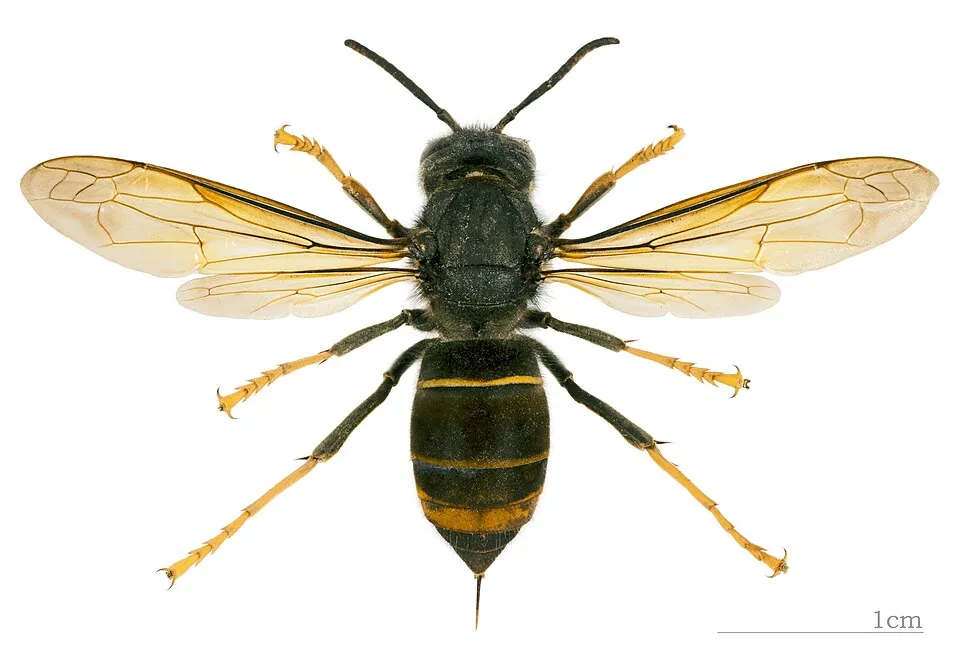 Asian hornetEU
 CoypuEU
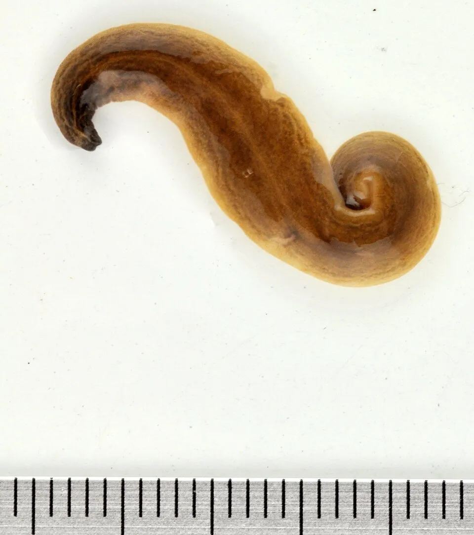 Obama FlatwormEU
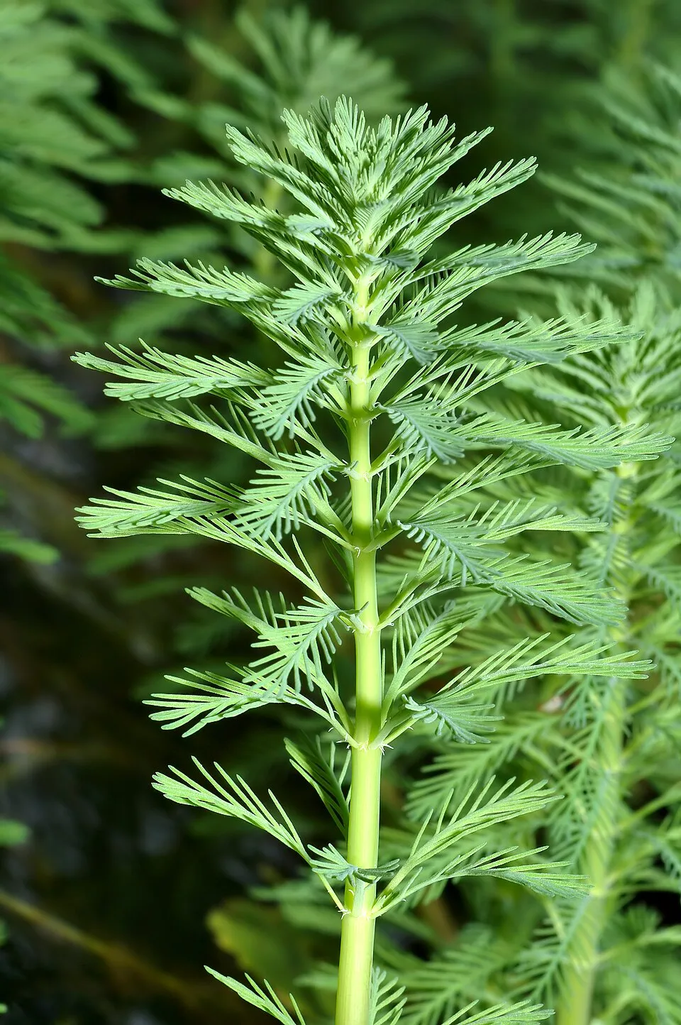 Parrot feather watermilfoilEU
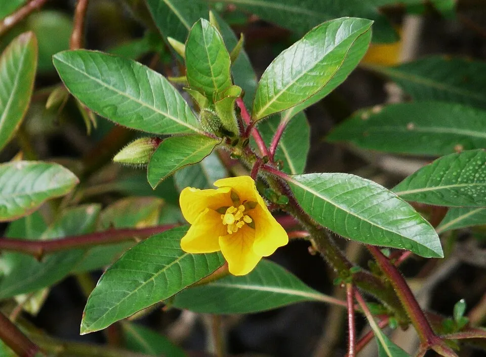 Floating primrose-willowEU
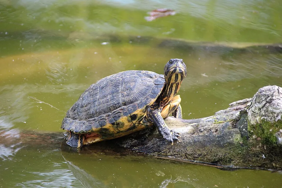 Pond sliderEU
Photos: Paper mulberry © Didier Descouens · CC BY-SA 4.0; Tree-of-heaven © Darkone · CC BY-SA 2.5; Asian hornet © Didier Descouens · CC BY-SA 4.0; Coypu © Philippe Amelant · CC BY-SA 3.0; Obama Flatworm © Jean-Lou Justine · CC BY-SA 3.0; Parrot feather watermilfoil © André Karwath aka Aka · CC BY-SA 2.5; Floating primrose-willow © Père Igor · CC BY-SA 3.0; Pond slider © Viva.Chelonia · CC BY 2.0
Sources: Global Forest Change (Hansen et al., University of Maryland, via Global Forest Watch, CC-BY 4.0); EFFIS, European Commission / Copernicus; NASA Black Marble 2016 (public domain); CORINE Land Cover 2018 (Copernicus) or MODIS.
CORINE Land Cover Change 1990–2018: generated using European Union's Copernicus Land Monitoring Service information (EEA), aggregated by Parkavela; DOI 10.2909/f30f1000-7cf8-43bb-872c-5eb093911b24.
Ecological status of water bodies: European Environment Agency, WISE – Water Framework Directive, 3rd river basin management plans (2022), CC BY 4.0. Official national classification, not comparable between countries.
Invasive alien species: Global Register of Introduced and Invasive Species (ISSG, CC BY 4.0); Union list, Regulation (EU) 1143/2014 (INBO, CC0); GBIF.org records (CC0 / CC BY 4.0), at least 2 per species.
Practical information
Cities and airport
- Avignon
19 km as the crow flies - Arles
45 km as the crow flies - Airport: Nîmes-Alès-Camargue-Cévennes (FNI)
55 km as the crow flies
Visitor information
- Yourte d'accueil
< 1 km from the site boundary - Maison du tourisme
within the site - Office du Tourisme d'Entrechaux
within the site - Office de tourisme intercommunal Ventoux Sud
within the site
Things to see
67 viewpoints · 3 waterfalls · 11 lakes and ponds · 54 caves
- Col de la Chaine
viewpoint · 472 m - Cascade de Boudelly
waterfall - Bassin D.F.C.I.
lake or pond - Bauma dis Auzièras No. 1
cave · 355 m - Belvedere St Hubert
viewpoint
Where to stay
3 mountain huts · 38 campsites
- Le Contrat
Unstaffed hut · 1,413 m - Aire CAMPING-CAR PARK de Bédoin, Mont Ventoux
campsite - Jas de la Couanche
Unstaffed hut · 1,142 m - Aire Camping car Malemort-du-Comtat
campsite - Jas Forest
Unstaffed hut · 1,130 m · 4 beds
Hiking
837 waymarked routes listed, including:
GR 91Tour des Baronnies provençales
By bike
+ 24 local loops
Signed cycle routes: this does not mean that cycling is allowed on footpaths.
Wheelchair access
- Maison du tourisme
visitor information
Reported by OpenStreetMap contributors (ODbL); check with the park before visiting.
Data © OpenStreetMap contributors (ODbL) · Wikidata (CC0)
Routes © OpenStreetMap contributors (ODbL), via Waymarked Trails
Waymarked hiking routes
GR 91 Traversée du Vercors Nord-Sud - Classique
70.4 km within the site ↗ 1,518 m↘ 1,353 m 255–695 m
Tour des Baronnies provençales
6.4 km within the site ↗ 394 m↘ 238 m 516–817 m
Tracks © OpenStreetMap contributors (ODbL), clipped to the boundary; elevation gain and profiles computed on the longest section from Mapzen Terrain Tiles (≈ 30 m), indicative only.
Bathing
5 monitored bathing sites in or within 1 km of the site · 2025 classification
Excellent · 3
Sufficient · 1
Poor · 1
- Camping des Trois Rivieres · lake · Excellent
- Lac du Paty · lake · Excellent
- Les Salettes · lake · Excellent
- Pont Romain ( Ouveze ) · river · Sufficient
- Hameau de Veau Pont du Toulourenc · river · Poor
Source: European Environment Agency, official bathing water classification (Directive 2006/7/EC, CC-BY 4.0). Swimming is only permitted at the sites and times authorised locally.
Access and visiting
The nearest railway station is Carpentras, less than 1 km from the site boundary. Nearest towns of over 50,000 people, as the crow flies: Avignon (19 km) and Arles (45 km). Nearest airport: Nîmes-Alès-Camargue-Cévennes (FNI), about 55 km away. About 510,000 people live within 20 km of the site boundary, 170,000 of them within 10 km; some 60,000 people are estimated to live inside (GHSL estimate, 2020). This population has grown by about 11% since 2000. Visitor information on site: Yourte d'accueil, Maison du tourisme and Office du Tourisme d'Entrechaux. Waymarked hiking routes listed in OpenStreetMap: 837, including GR 91 and Tour des Baronnies provençales. OpenStreetMap contributors list one wheelchair-accessible place: Maison du tourisme; check with the park before visiting. To see: 67 viewpoints, 3 waterfalls, 11 lakes and ponds and 54 caves, including Col de la Chaine (472 m), Cascade de Boudelly, Bassin D.F.C.I. and Bauma dis Auzièras No. 1 (355 m). Where to stay: 3 mountain huts and 38 campsites, including Le Contrat (1,413 m), Aire CAMPING-CAR PARK de Bédoin, Mont Ventoux and Jas de la Couanche (1,142 m). To plan a visit (access, opening periods, visitor rules), it is best to consult the official information from the managing body and the official website listed in this page's sources.
Source: OpenStreetMap (ODbL), Wikidata (CC0), October 2026.
Built heritage
According to the French Ministry of Culture's Mérimée database, 85 historic monuments stand within the boundary, 36 of them with the highest level of protection (classé). Among them are 32 religious buildings, 22 houses and civic buildings and 12 castles and fortifications. Notable classé monuments include “Arc romain dans l'enceinte du Palais de Justice” in Carpentras, “Chapelle Notre-Dame-du-Groseau” in Malaucène and “Château du Barroux” in Le Barroux.
32 religious buildings22 houses and civic buildings12 castles and fortifications10 bridges, lighthouses, mills and working buildings6 prehistoric and archaeological sites
-
Arc romain dans l'enceinte du Palais de Justice
Classé
Carpentras · 1st c. -
Chapelle Notre-Dame-du-Groseau
Classé
Malaucène -
Château du Barroux
Classé
Le Barroux · 18th c. -
Fontaine du Pélican
Classé
Pernes-les-Fontaines -
Gisement mésolithique dit de Gramari
Classé
Méthamis · Prehistory -
Baptistère (actuellement église funéraire épiscopale de forme quadrilobée, appelée à tort)
Classé
Venasque · 6th c., 7th c. -
Hôtel de ville
Classé
Pernes-les-Fontaines · 17th c. -
Chapelle de Saint-Quenin
Classé
Vaison-la-Romaine · 12th c.
and 77 more
Source: Mérimée database, French Ministry of Culture (Licence Ouverte 2.0). Each record links to the Plateforme ouverte du patrimoine (POP).
When to visit
Best time to visit: from June to September, with average temperatures of 14 to 19 °C and moderate rainfall. Precipitation peaks in November (up to 110 mm per month). These averages apply to the site's representative point (1,033 m); higher up it is markedly cooler and snow lasts longer. Day length ranges from about 8 h 53 min in December to 15 h 29 min in June. Wildlife records published on GBIF peak for birds (April and May), plants (May and June), butterflies and moths (June and July), dragonflies (July) and mammals (from March to June). These peaks also reflect when observers are most active.
Source: Copernicus ERA5-Land (C3S), monthly averages 1996–2025 at the representative point, temperatures adjusted for elevation.
Contains modified Copernicus Climate Change Service information 2026. Neither the European Commission nor ECMWF is responsible for any use that may be made of the Copernicus information or data it contains.
Wildlife records calendar
JFMAMJJASOND
Birds
Plants
Butterflies & moths
Dragonflies
Mammals
Monthly records published on GBIF (CC-BY), relative to the busiest month; also reflects observer activity.
Gallery
© BlueBreezeWiki · CC BY-SA 3.0
© Véronique PAGNIER · Public domain
© Anthospace · CC BY-SA 3.0
© Vi..Cult... · CC BY-SA 3.0
© Marianne Casamance · CC BY-SA 3.0
© Marianne Casamance · CC BY-SA 3.0
Sources and licences
- Wikidata: Q97391055
- OpenStreetMap: relation 11499903
- Official website: https://www.parcduventoux.fr/
- Wikipedia: fr.wikipedia.org/wiki/Parc_naturel_régional_du_Mont-Ventoux
References
- cds.climate.copernicus.eu: climate · CC-BY-4.0
- registry.opendata.aws: elevation of the reference point, detailed relief · PD
- land.copernicus.eu: land cover, land cover change, sea share · COPERNICUS
- doi.org: population around the site · CC-BY-4.0
- wikidata.org: official area, establishment date, nearby cities and airport, access and peaks, lake depths, places to see, official website · CC0-1.0
- eea.europa.eu: bathing water quality, ecological status of waters · CC-BY-4.0
- en.eurovelo.com: EuroVelo cycle routes · ODbL-1.0
- cycling.waymarkedtrails.org: cycle routes · ODbL-1.0
- opentopodata.org: elevations · PD
- forest-fire.emergency.copernicus.eu: wildfires · COPERNICUS
- globalforestwatch.org: tree cover loss · CC-BY-4.0
- gbif.org: seasonality of sightings, invasive alien species, observed species · CC-BY-4.0
- infoterre.brgm.fr: geology · LO-2.0
- pop.culture.gouv.fr: protected heritage · LO-2.0
- hydrosheds.org: lakes · CC-BY-4.0
- natura2000.eea.europa.eu: Natura 2000 habitats and species · CC-BY-4.0
- openstreetmap.org: official name, access and peaks, places to see, wheelchair access · ODbL-1.0
- earthobservatory.nasa.gov: night light · PD
- hiking.waymarkedtrails.org: route difficulty · ODbL-1.0
- nsidc.org: snow cover · PD
- wikidata.org: Wikipedia article · CC-BY-SA-4.0
Data © OpenStreetMap contributors (ODbL), Wikidata (CC0) and the sources cited.