France · Terrestrial
Les collines du lac du Paty
Protected area of 265 hectares in France, established in 2009.
Overview
Protected area of 265 hectares in France, established in 2009.
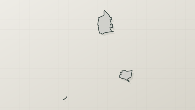
Les collines du lac du Paty is a protected area in France (Europe). It is a predominantly terrestrial area. Established on 18 December 2009, it covers about 265 hectares. The site is managed by Commune de Caromb.
In our collections
Frequently asked questions
Where is Les collines du lac du Paty?
In France (Europe). Representative point: 44.1322° N, 5.1183° E.
How large is Les collines du lac du Paty?
About 265 hectares (3 km²). It is the 9th largest of the 32 other protected areas in France covered by Parkavela.
When was Les collines du lac du Paty established?
On 18 December 2009.
What habitats and landscapes does Les collines du lac du Paty include?
A terrestrial area, with forests.
What rocks lie beneath Les collines du lac du Paty?
According to the BRGM's simplified lithological map, the bedrock consists mainly of sandstones (100% of sampled points). These are mostly sedimentary rocks.
What is the highest point of Les collines du lac du Paty?
La Madeleine, at 463 m (OpenStreetMap).
When is the best time to visit Les collines du lac du Paty?
Best time to visit: from April to September, with average temperatures of 11 to 23 °C and moderate rainfall.
What is there to see in Les collines du lac du Paty?
2 viewpoints and 1 lake or pond, including théâtre de verdure and Lac du Paty (OpenStreetMap).
Can you swim in Les collines du lac du Paty?
One monitored bathing site lies in or within 1 km of the site; official 2025 classification: 1 excellent (European Environment Agency). Swimming is only permitted at the sites and times authorised locally.
What is the nearest large city to Les collines du lac du Paty?
Nearest towns of over 50,000 people, as the crow flies: Avignon (31 km) and Arles (63 km). Nearest airport: Nîmes-Alès-Camargue-Cévennes (FNI), about 69 km away.
How can I reach Les collines du lac du Paty by train?
The nearest railway station is Carpentras, about 10 km from the site boundary.
Are there waymarked hiking trails in Les collines du lac du Paty?
Yes. Waymarked hiking routes listed in OpenStreetMap: 9.
Which species can be seen in Les collines du lac du Paty?
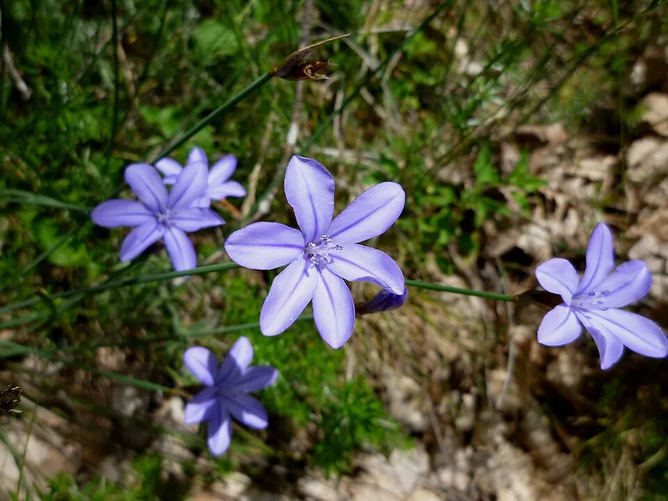
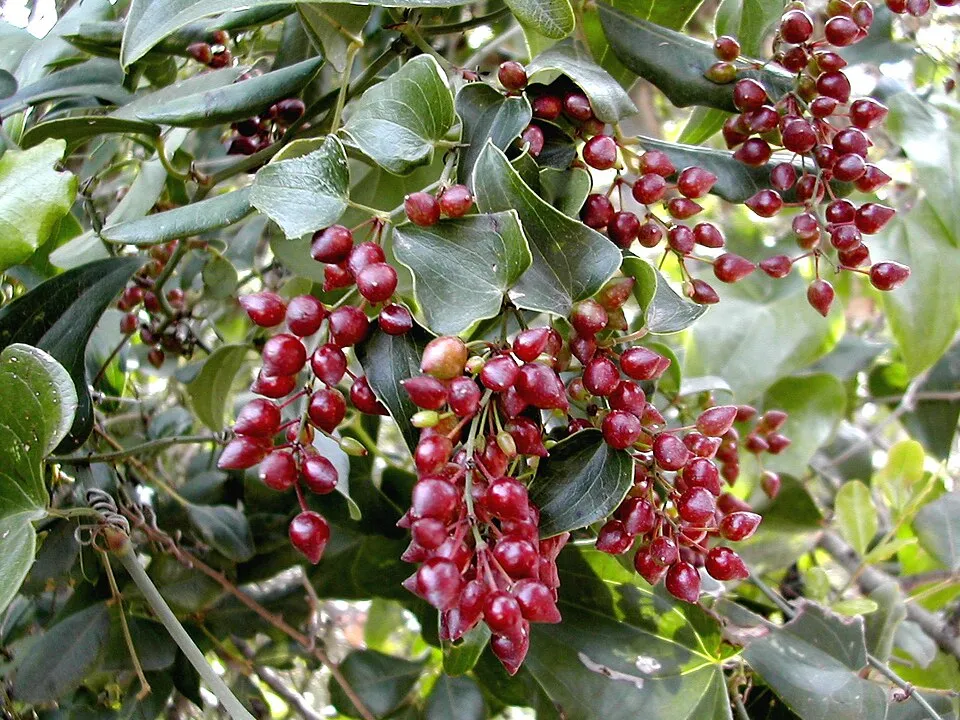
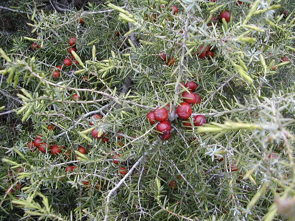
Among the species most often recorded on GBIF are Aphyllanthes monspeliensis (Blue Aphyllanthes), Smilax aspera (Common smilax), Juniperus oxycedrus (Cade juniper) and Narcissus assoanus (Rushleaf jonquil).
Who manages Les collines du lac du Paty?
Commune de Caromb.
© OpenStreetMap
Download the boundary: GeoJSON · GPX Boundary © OpenStreetMap contributors (ODbL).
Geography
The representative point of the site lies at around 373 m above sea level. Over the 1996–2025 period, the mean annual temperature is about 12.7 °C and total precipitation reaches roughly 744 mm per year. The warmest month is usually July, the coolest January, and the wettest November. According to the BRGM's simplified lithological map, the bedrock consists mainly of sandstones (100% of sampled points). These are mostly sedimentary rocks.
Area
- Area
- 265 ha
- Elevation
- 373 m
- Mean slope
- 10°
- Coordinates
- 44.1322, 5.1183
Terrain: Mapzen Terrain Tiles (SRTM, USGS)
Bedrock
- Sandstones 100 %
Sedimentary rocks 100 %
Source: BRGM, simplified lithological map at 1:1,000,000 (Licence Ouverte), 16 points sampled within the boundary.
Climate
● Mean temperature (°C) · ▮ Precipitation (mm)
Source: Copernicus ERA5-Land (C3S, doi:10.24381/cds.68d2bb30), monthly averages 1996–2025 interpolated to the representative point, temperatures adjusted for elevation.
Contains modified Copernicus Climate Change Service information 2026. Neither the European Commission nor ECMWF is responsible for any use that may be made of the Copernicus information or data it contains.
Natural habitats
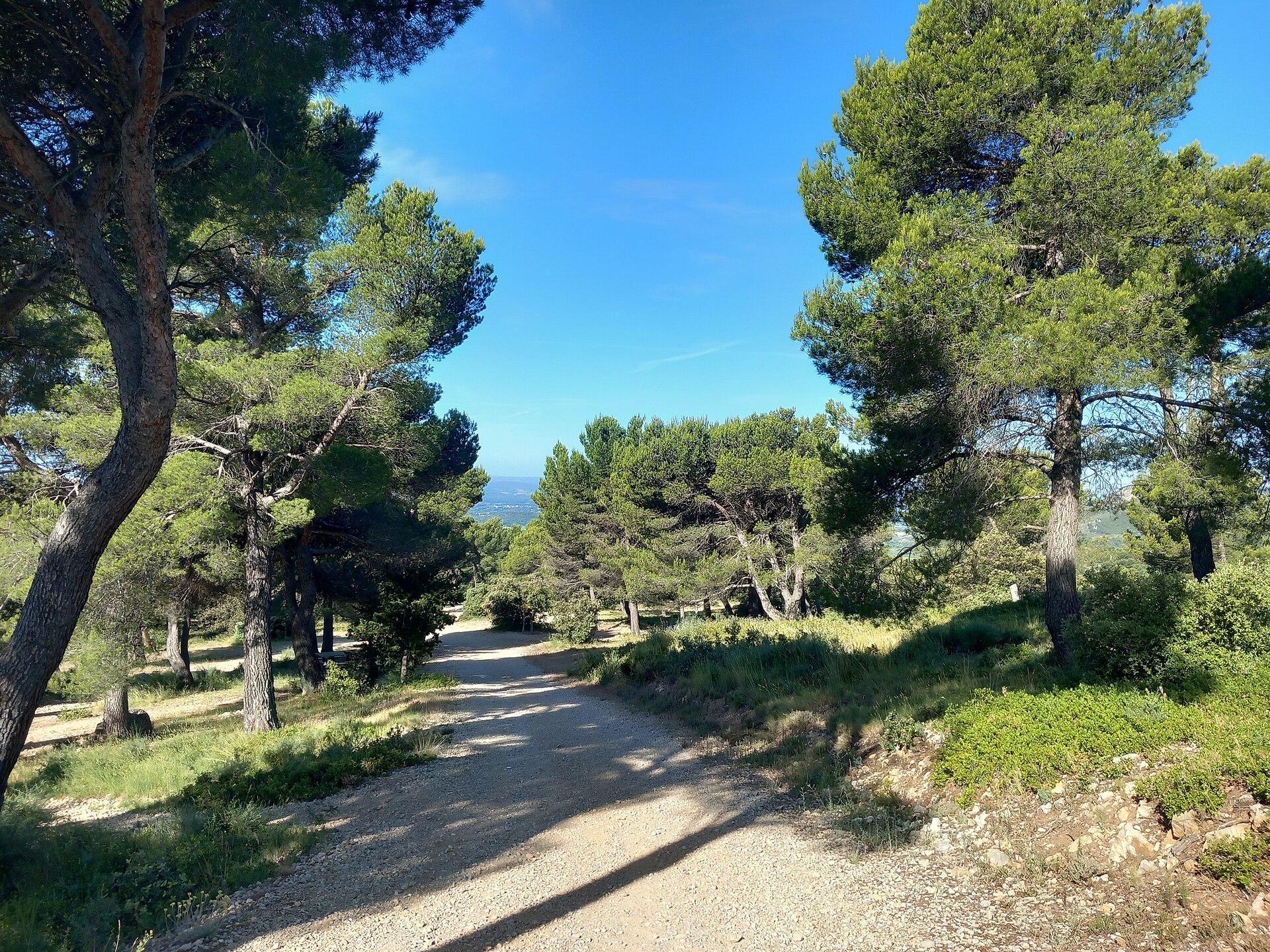
According to CORINE Land Cover (2018), the site is mainly made up of forests (58%) and Mediterranean scrub (40%). Woodland is mostly coniferous. Elevation ranges from about 240 m to 463 m (highest point: La Madeleine).
Biodiversity
Based on occurrences aggregated by GBIF, several species are regularly recorded within the site. Among the most frequent are Aphyllanthes monspeliensis (Blue Aphyllanthes), Smilax aspera (Common smilax), Juniperus oxycedrus (Cade juniper) and Narcissus assoanus (Rushleaf jonquil). The full list of documented taxa is shown below.
Species to look out for

Plant
Rushleaf jonquil
Narcissus assoanus10 records © Herbarium of the University of Coimbra (COI) · CC BY 4.0


Plant
Mountain Lettuce
Lactuca perennis7 records © Johann Georg Sturm (Painter: Jacob Sturm) · Public domain
Observed species
Occurrences documented via GBIF; they are neither an exhaustive inventory nor proof of current presence.
- Blue Aphyllanthes · Aphyllanthes monspeliensis · 34
- Common smilax · Smilax aspera · 17
- Cade juniper · Juniperus oxycedrus · 11
- Rushleaf jonquil · Narcissus assoanus · 10
- Genista scorpius · 8
- Mountain Lettuce · Lactuca perennis · 7
- Garden thyme · Thymus vulgaris · 6
- Holm Oak · Quercus ilex · 5
- Snowy Mespilus · Amelanchier ovalis · 5
- Mediterranean Buckthorn · Rhamnus alaternus · 5
- Eurasian Chaffinch · Fringilla coelebs · 4
- Narcissus dubius · 4
+18 more species
- Rushleaf jonquil · Narcissus assoanus · 4
- Laurustinus · Viburnum tinus · 4
- White horehound · Marrubium vulgare · 4
- Ononis minutissima · 4
- Serrate spurge · Euphorbia serrata · 4
- Cyprus turpentine · Pistacia terebinthus · 4
- Flax · Linum narbonense · 4
- Crimean iris · Iris lutescens · 4
- European robin · Erithacus rubecula · 3
- Wild Asparagus · Asparagus acutifolius · 3
- St. Bernard’s lily · Anthericum liliago · 3
- Ophrys flavicans · 3
- Red helleborine · Cephalanthera rubra · 3
- Kermes Oak · Quercus coccifera · 3
- Rock soapwort · Saponaria ocymoides · 3
- Aleppo Pine · Pinus halepensis · 3
- Giant orchid · Himantoglossum robertianum · 3
- Judas-tree · Cercis siliquastrum · 3
Records: GBIF.org (CC-BY). Names: Wikidata (CC0), GBIF. Photos: Wikimedia Commons.
Conservation challenges
The primary purpose of the site is to preserve its natural habitats and the biodiversity they support. The species recorded (Biodiversity tab) reflect its ecological value. Its status as a protected area sets the regulatory framework for its protection.
According to Global Forest Change data (University of Maryland, Global Forest Watch), about 18 ha of tree cover were lost within the boundary between 2001 and 2023 (7% of its area), peaking in 2011 and 2014. These losses include logging, storms and fires, and do not account for regrowth. According to CORINE Land Cover, land cover here remained almost unchanged between 1990 and 2018 (less than 0.5% of the area affected). At night, 15% of the area gives off artificial light detectable from space (NASA VIIRS Black Marble composite, 2016). According to the Water Framework Directive assessment (2022 river basin management plans, data 2015–2017), the only river assessed within the site has poor ecological status.
Pressure indicators
Tree cover lost
18 ha
2001–2023 · 7% of the area
20012023
Fires since 2016
0
No large fire mapped (fires over about 30 ha)
Light at night
15%
of the area gives off artificial light visible from space
DarkLit
Land cover change
< 0.5%
of the area changed, 1990–2018 · CORINE
Rivers and lakes
0%
of the 2 km of assessed rivers in good or high ecological status · WFD 2022
assessments 2015–2017
Sources: Global Forest Change (Hansen et al., University of Maryland, via Global Forest Watch, CC-BY 4.0); EFFIS, European Commission / Copernicus; NASA Black Marble 2016 (public domain); CORINE Land Cover 2018 (Copernicus) or MODIS.
CORINE Land Cover Change 1990–2018: generated using European Union's Copernicus Land Monitoring Service information (EEA), aggregated by Parkavela; DOI 10.2909/f30f1000-7cf8-43bb-872c-5eb093911b24.
Ecological status of water bodies: European Environment Agency, WISE – Water Framework Directive, 3rd river basin management plans (2022), CC BY 4.0. Official national classification, not comparable between countries.
Practical information
Cities and airport
- Avignon
31 km as the crow flies - Arles
63 km as the crow flies - Airport: Nîmes-Alès-Camargue-Cévennes (FNI)
69 km as the crow flies
Parking
7 public car parks listed within the site · 1 trailheads
Hiking
9 waymarked routes listed
Data © OpenStreetMap contributors (ODbL) · Wikidata (CC0)
Bathing
1 monitored bathing site in or within 1 km of the site · 2025 classification
Excellent · 1
- Lac du Paty · lake · Excellent
Source: European Environment Agency, official bathing water classification (Directive 2006/7/EC, CC-BY 4.0). Swimming is only permitted at the sites and times authorised locally.
Access and visiting
The nearest railway station is Carpentras, about 10 km from the site boundary. Nearest towns of over 50,000 people, as the crow flies: Avignon (31 km) and Arles (63 km). Nearest airport: Nîmes-Alès-Camargue-Cévennes (FNI), about 69 km away. About 150,000 people live within 20 km of the site boundary, 57,000 of them within 10 km (GHSL estimate, 2020). This population has grown by about 15% since 2000. Public car parks listed within the site: 7. Waymarked hiking routes listed in OpenStreetMap: 9. To see: 2 viewpoints and 1 lake or pond, including théâtre de verdure and Lac du Paty. To plan a visit (access, opening periods, visitor rules), it is best to consult the official information from the managing body (Commune de Caromb) and the official website listed in this page's sources.
Source: OpenStreetMap (ODbL), Wikidata (CC0), October 2026.
When to visit
Best time to visit: from April to September, with average temperatures of 11 to 23 °C and moderate rainfall. Precipitation peaks in November (up to 100 mm per month). Day length ranges from about 8 h 53 min in December to 15 h 29 min in June. Wildlife records published on GBIF peak for plants (April and May) and butterflies and moths (August). These peaks also reflect when observers are most active.
Source: Copernicus ERA5-Land (C3S), monthly averages 1996–2025 at the representative point, temperatures adjusted for elevation.
Contains modified Copernicus Climate Change Service information 2026. Neither the European Commission nor ECMWF is responsible for any use that may be made of the Copernicus information or data it contains.
Wildlife records calendar
JFMAMJJASOND
Plants
Butterflies & moths
Monthly records published on GBIF (CC-BY), relative to the busiest month; also reflects observer activity.
Gallery
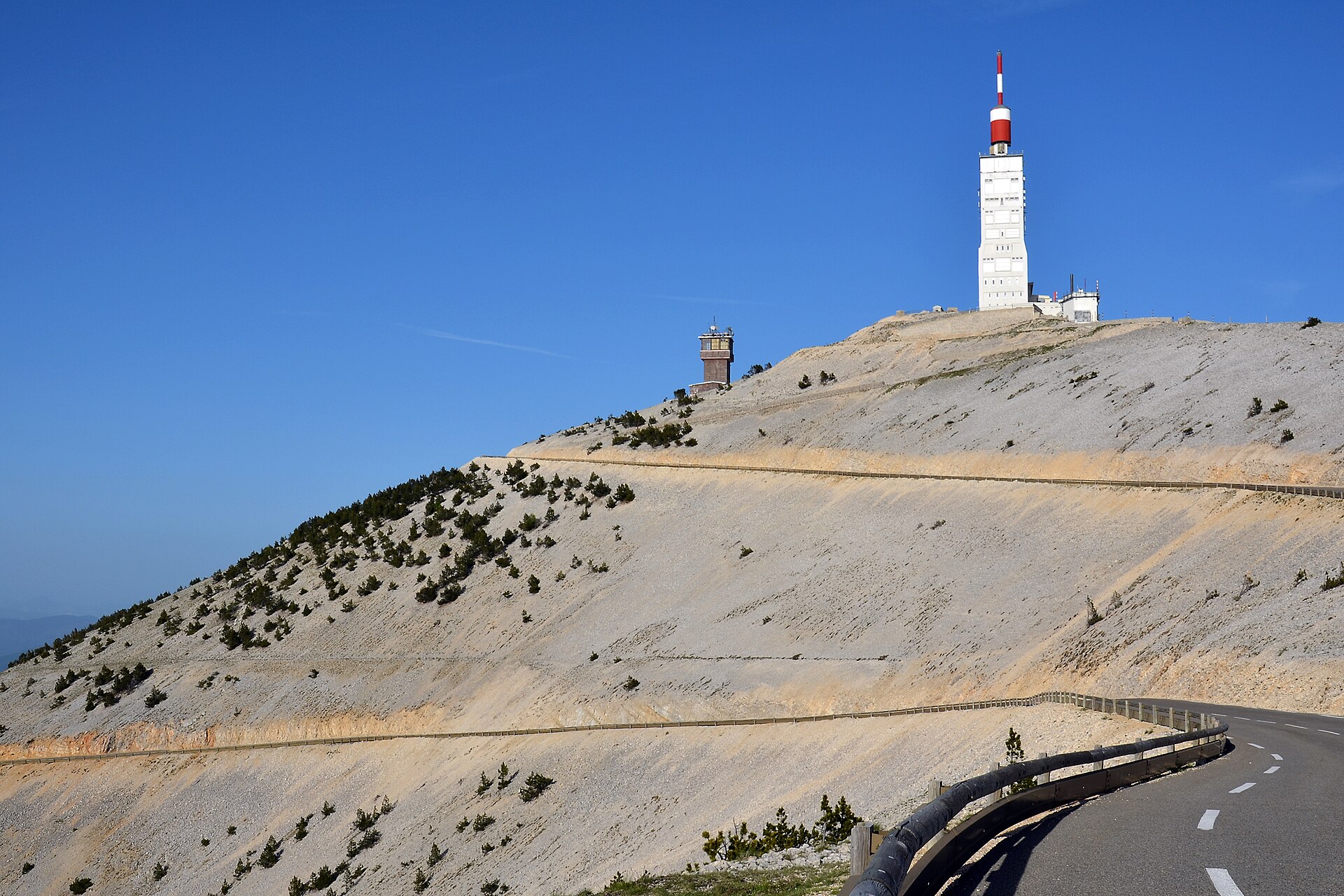
© Marianne Casamance · CC BY-SA 4.0
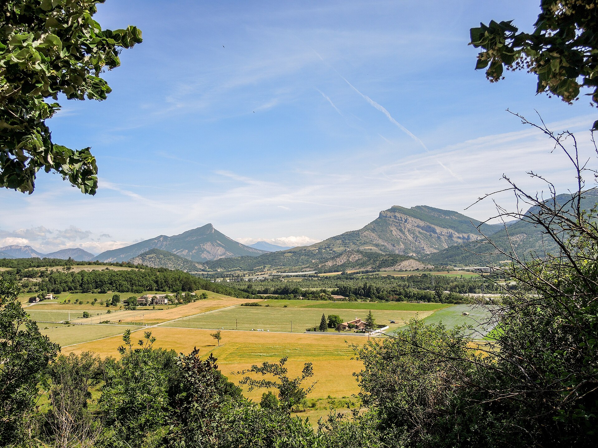
© Lajmmoore · CC BY-SA 4.0
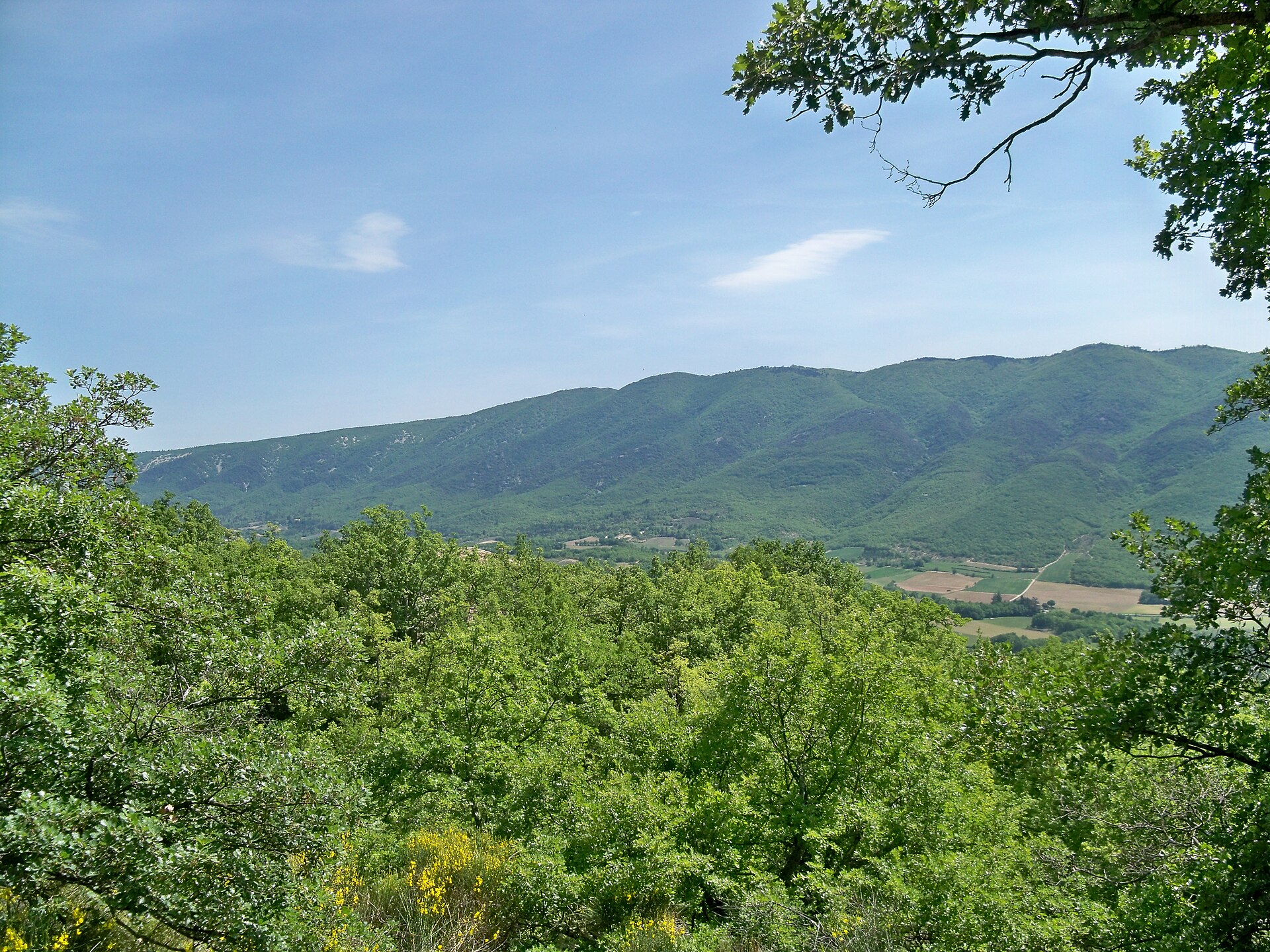
© Marianne Casamance · CC BY-SA 4.0
© Lajmmoore · CC BY-SA 4.0
© Marianne Casamance · CC BY-SA 4.0
© Marianne Casamance · CC BY-SA 4.0
Sources and licences
- Wikidata: Q130324131
- OpenStreetMap: relation 18067608
References
- cds.climate.copernicus.eu: climate · CC-BY-4.0
- registry.opendata.aws: elevation of the reference point, detailed relief · PD
- land.copernicus.eu: land cover, land cover change, sea share · COPERNICUS
- doi.org: population around the site · CC-BY-4.0
- wikidata.org: official area, establishment date, managing body, official name, nearby cities and airport, access and peaks, lake depths, places to see · CC0-1.0
- eea.europa.eu: bathing water quality, ecological status of waters · CC-BY-4.0
- en.eurovelo.com: EuroVelo cycle routes · ODbL-1.0
- cycling.waymarkedtrails.org: cycle routes · ODbL-1.0
- opentopodata.org: elevations · PD
- forest-fire.emergency.copernicus.eu: wildfires · COPERNICUS
- globalforestwatch.org: tree cover loss · CC-BY-4.0
- gbif.org: seasonality of sightings, invasive alien species, observed species · CC-BY-4.0
- infoterre.brgm.fr: geology · LO-2.0
- pop.culture.gouv.fr: protected heritage · LO-2.0
- hydrosheds.org: lakes · CC-BY-4.0
- earthobservatory.nasa.gov: night light · PD
- openstreetmap.org: access and peaks, places to see, trail difficulty · ODbL-1.0
- nsidc.org: snow cover · PD
Data © OpenStreetMap contributors (ODbL), Wikidata (CC0) and the sources cited.