France · Terrestrial
Vallon des Alissas
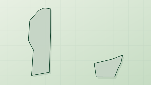
Protected area of 3 hectares in France.
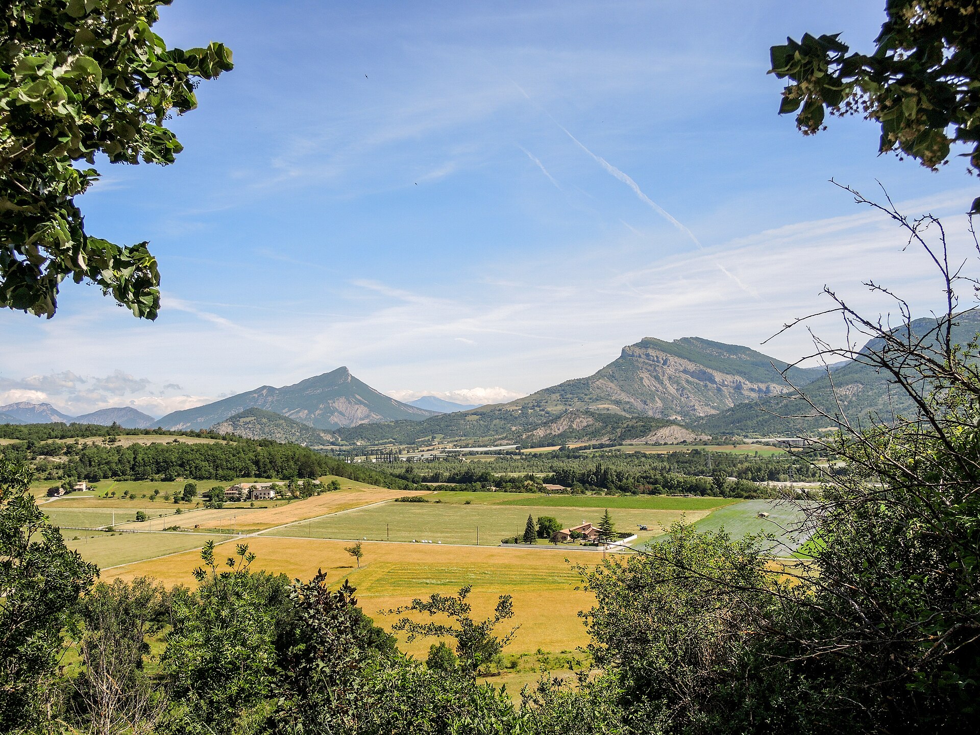
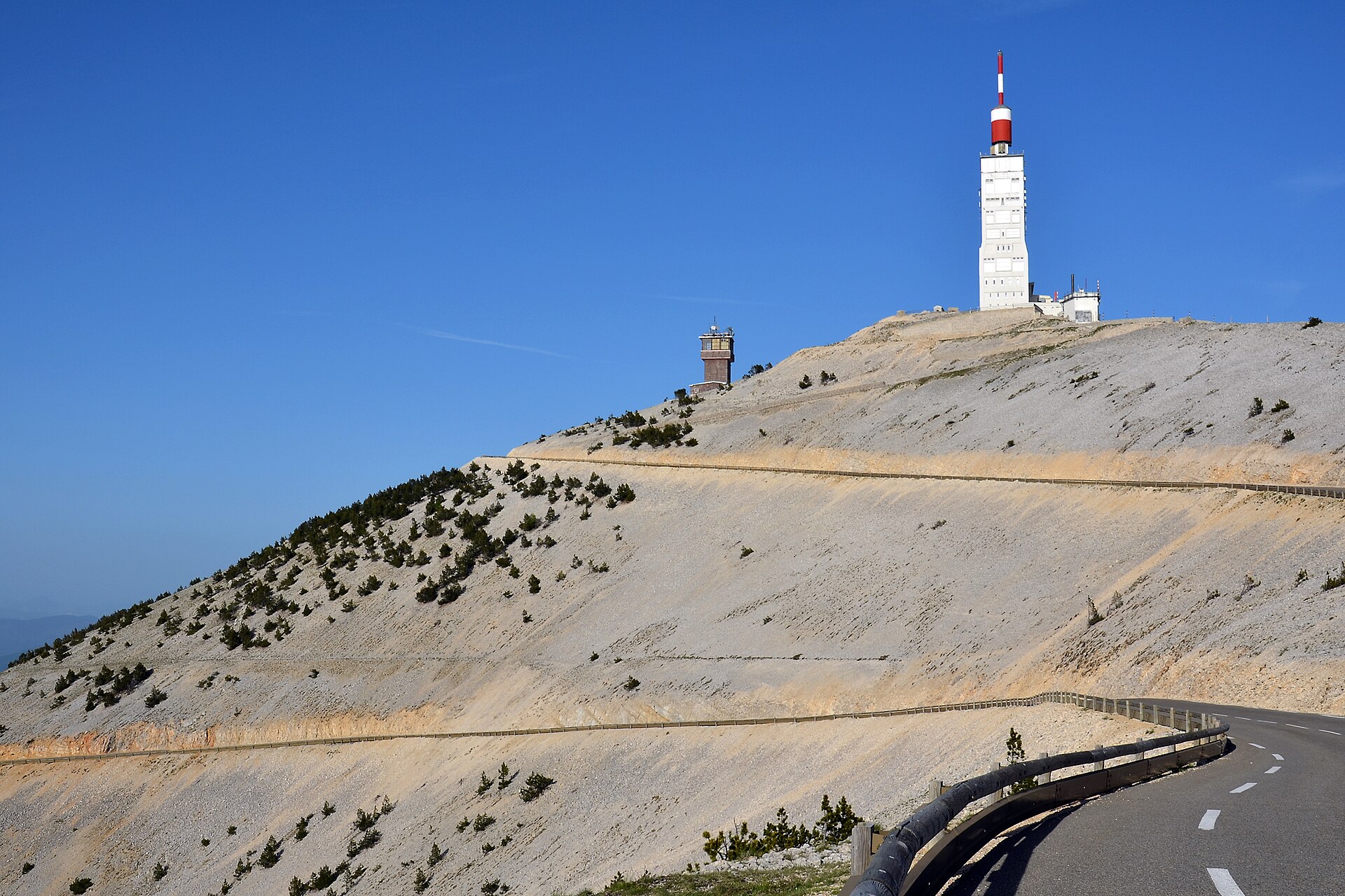
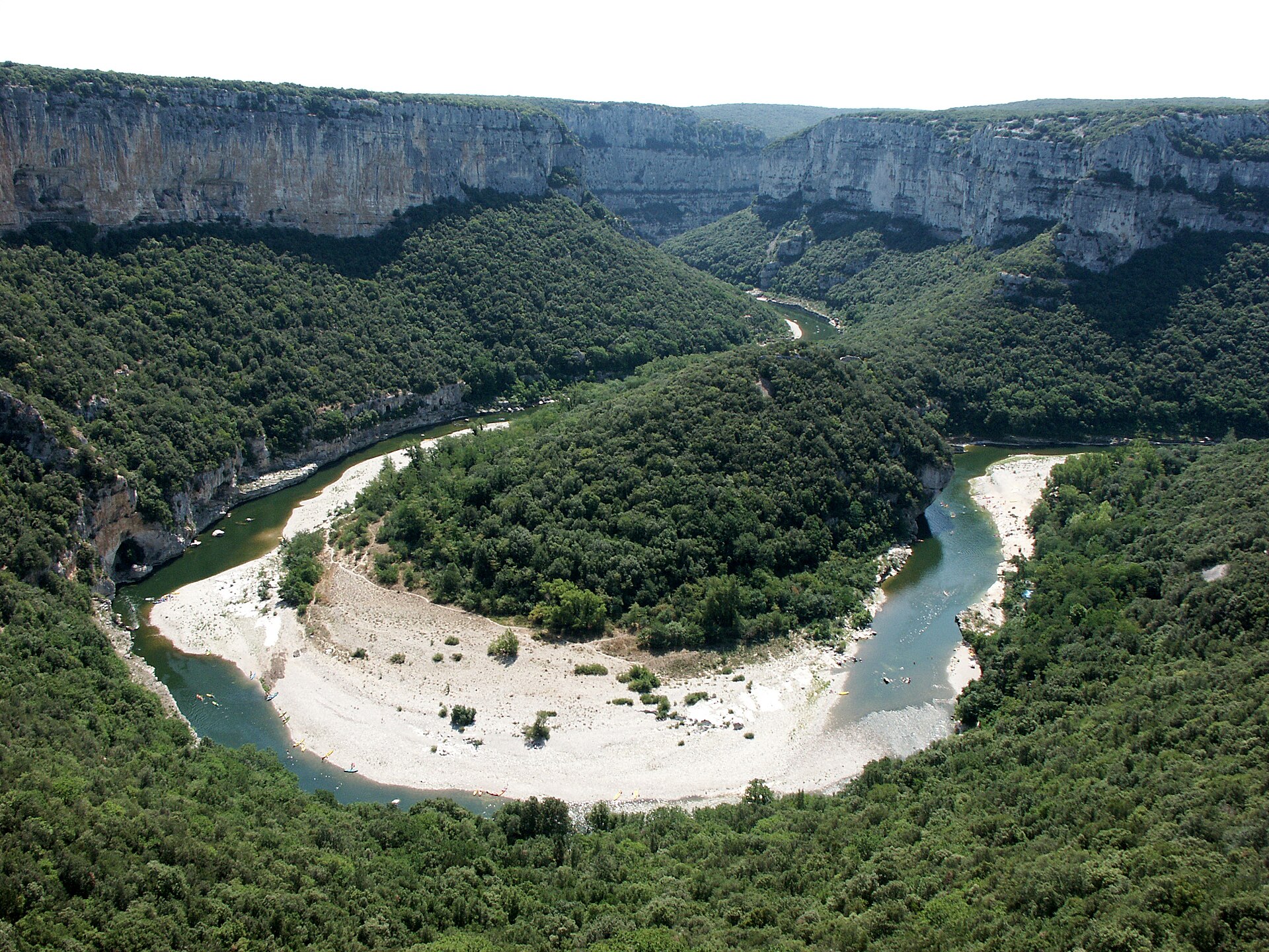
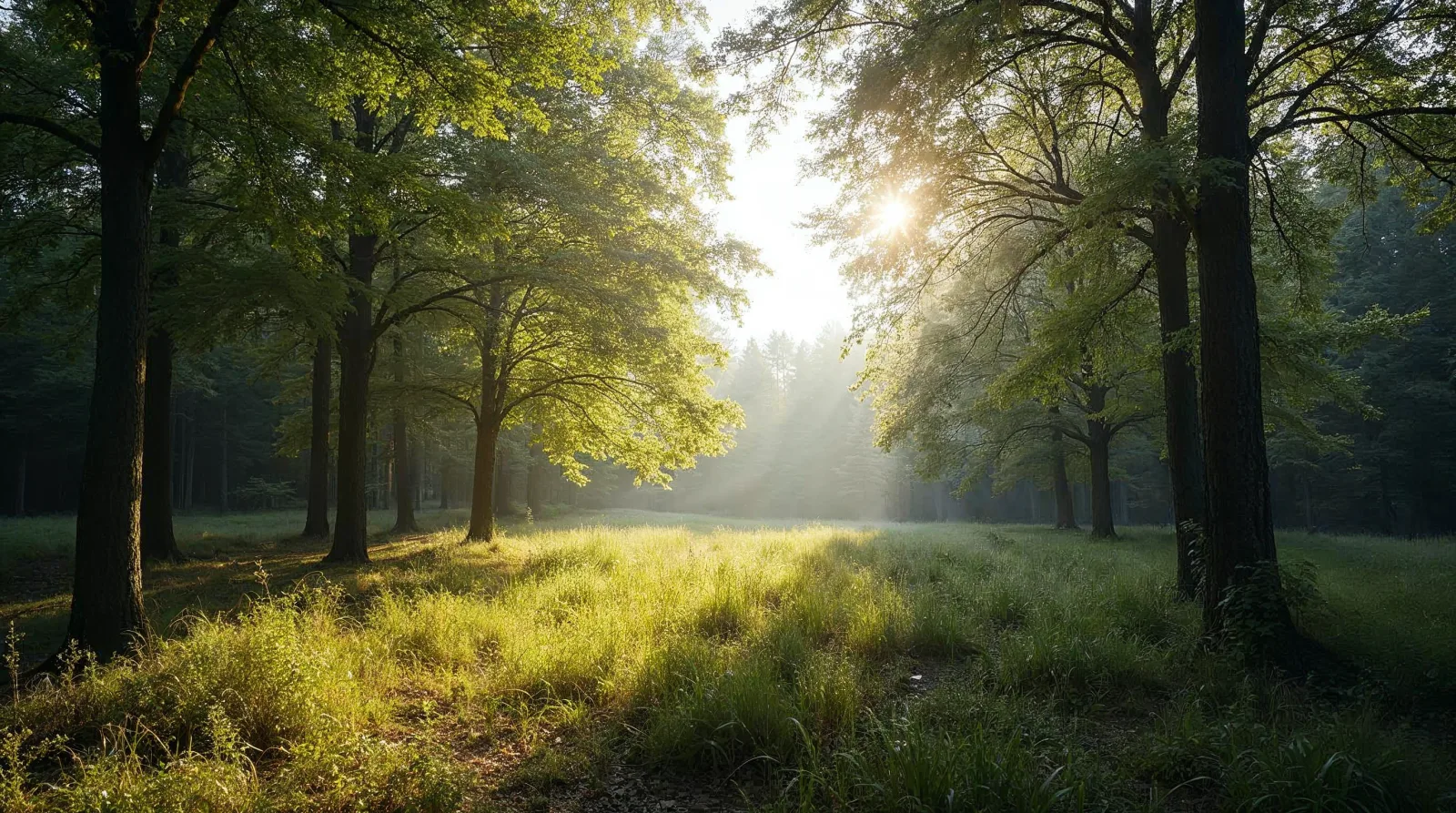
AI-generated illustration (Magnific) · typical landscape, not a photo of this place
Overview
Protected area of 3 hectares in France.
Vallon des Alissas is a protected area in France (Europe). It is a predominantly terrestrial area. It covers about 3 hectares.
In our collections
Frequently asked questions
Where is Vallon des Alissas?
In France (Europe). Representative point: 44.3739° N, 4.8084° E.
How large is Vallon des Alissas?
About 3 hectares. It is the 32nd largest of the 32 other protected areas in France covered by Parkavela.
What habitats and landscapes does Vallon des Alissas include?
A terrestrial area, with forests.
What rocks lie beneath Vallon des Alissas?
According to the BRGM's simplified lithological map, the bedrock consists mainly of chalk (100% of sampled points). These are mostly sedimentary rocks.
When is the best time to visit Vallon des Alissas?
Best time to visit: from April to September, with average temperatures of 12 to 24 °C and moderate rainfall.
What is the nearest large city to Vallon des Alissas?
Nearest towns of over 50,000 people, as the crow flies: Avignon (47 km) and Valence (62 km). Nearest airport: Nîmes-Alès-Camargue-Cévennes (FNI), about 75 km away.
How can I reach Vallon des Alissas by train?
The nearest railway station is Pierrelatte, about 8 km from the site boundary.
Which species can be seen in Vallon des Alissas?
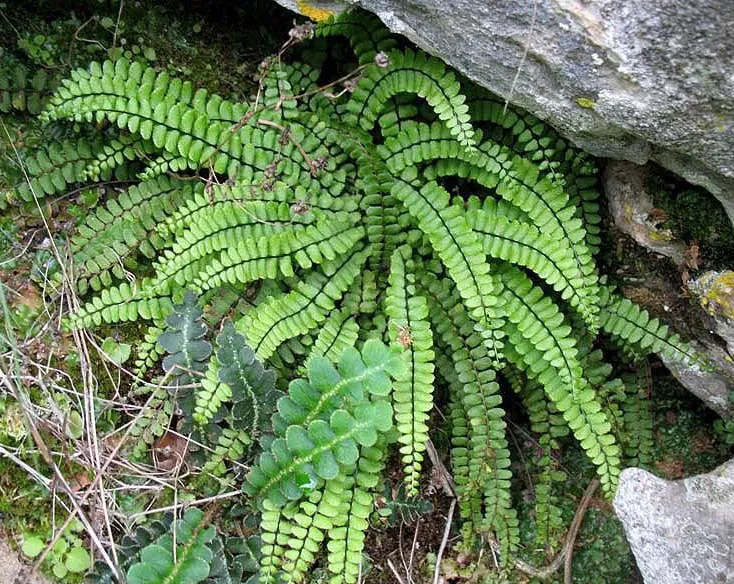
Among the species most often recorded on GBIF are Asplenium trichomanes (Maidenhair Spleenwort).
© OpenStreetMap
Download the boundary: GeoJSON · GPX Boundary © OpenStreetMap contributors (ODbL).
Geography
The representative point of the site lies at around 204 m above sea level. Over the 1996–2025 period, the mean annual temperature is about 13.5 °C and total precipitation reaches roughly 797 mm per year. The warmest month is usually July, the coolest January, and the wettest November. According to the BRGM's simplified lithological map, the bedrock consists mainly of chalk (100% of sampled points). These are mostly sedimentary rocks.
Area
- Area of the boundary
- 3.2 ha
- Elevation
- 204 m
- Coordinates
- 44.3739, 4.8084
Bedrock
- Chalk 100 %
Sedimentary rocks 100 %
Source: BRGM, simplified lithological map at 1:1,000,000 (Licence Ouverte), 16 points sampled within the boundary.
Climate
● Mean temperature (°C) · ▮ Precipitation (mm)
Source: Copernicus ERA5-Land (C3S, doi:10.24381/cds.68d2bb30), monthly averages 1996–2025 interpolated to the representative point, temperatures adjusted for elevation.
Contains modified Copernicus Climate Change Service information 2026. Neither the European Commission nor ECMWF is responsible for any use that may be made of the Copernicus information or data it contains.
Natural habitats
According to CORINE Land Cover (2018), the site is mainly made up of forests (100%). Woodland is mostly broadleaved.
Biodiversity
Based on occurrences aggregated by GBIF, several species are regularly recorded within the site. Among the most frequent are Asplenium trichomanes (Maidenhair Spleenwort). The full list of documented taxa is shown below.
Species to look out for
Observed species
Occurrences documented via GBIF; they are neither an exhaustive inventory nor proof of current presence.
Records: GBIF.org (CC-BY). Names: Wikidata (CC0), GBIF. Photos: Wikimedia Commons.
Conservation challenges
The primary purpose of the site is to preserve its natural habitats and the biodiversity they support. The species recorded (Biodiversity tab) reflect its ecological value. Its status as a protected area sets the regulatory framework for its protection.
Pressure indicators
Fires since 2016
0
No large fire mapped (fires over about 30 ha)
Sources: Global Forest Change (Hansen et al., University of Maryland, via Global Forest Watch, CC-BY 4.0); EFFIS, European Commission / Copernicus; NASA Black Marble 2016 (public domain); CORINE Land Cover 2018 (Copernicus) or MODIS.
Practical information
Cities and airport
- Avignon
47 km as the crow flies - Valence
62 km as the crow flies - Airport: Nîmes-Alès-Camargue-Cévennes (FNI)
75 km as the crow flies
Data © OpenStreetMap contributors (ODbL) · Wikidata (CC0)
Access and visiting
The nearest railway station is Pierrelatte, about 8 km from the site boundary. Nearest towns of over 50,000 people, as the crow flies: Avignon (47 km) and Valence (62 km). Nearest airport: Nîmes-Alès-Camargue-Cévennes (FNI), about 75 km away. About 160,000 people live within 20 km of the site boundary, 48,000 of them within 10 km (GHSL estimate, 2020). This population has grown by about 16% since 2000. To plan a visit (access, opening periods, visitor rules), it is best to consult the official information from the managing body and the official website listed in this page's sources.
Source: OpenStreetMap (ODbL), Wikidata (CC0), October 2026.
When to visit
Best time to visit: from April to September, with average temperatures of 12 to 24 °C and moderate rainfall. Precipitation peaks in October and November (up to 110 mm per month). Day length ranges from about 8 h 52 min in December to 15 h 31 min in June. Wildlife records published on GBIF peak for plants (May). These peaks also reflect when observers are most active.
Source: Copernicus ERA5-Land (C3S), monthly averages 1996–2025 at the representative point, temperatures adjusted for elevation.
Contains modified Copernicus Climate Change Service information 2026. Neither the European Commission nor ECMWF is responsible for any use that may be made of the Copernicus information or data it contains.
Wildlife records calendar
JFMAMJJASOND
Plants
Monthly records published on GBIF (CC-BY), relative to the busiest month; also reflects observer activity.
Sources and licences
- OpenStreetMap: relation 13590634
References
- cds.climate.copernicus.eu: climate · CC-BY-4.0
- registry.opendata.aws: elevation of the reference point, detailed relief · PD
- land.copernicus.eu: land cover, land cover change, sea share · COPERNICUS
- doi.org: population around the site · CC-BY-4.0
- openstreetmap.org: official name, access and peaks, places to see · ODbL-1.0
- eea.europa.eu: bathing water quality, ecological status of waters · CC-BY-4.0
- en.eurovelo.com: EuroVelo cycle routes · ODbL-1.0
- cycling.waymarkedtrails.org: cycle routes · ODbL-1.0
- opentopodata.org: elevations · PD
- forest-fire.emergency.copernicus.eu: wildfires · COPERNICUS
- globalforestwatch.org: tree cover loss · CC-BY-4.0
- gbif.org: seasonality of sightings, invasive alien species, observed species · CC-BY-4.0
- infoterre.brgm.fr: geology · LO-2.0
- pop.culture.gouv.fr: protected heritage · LO-2.0
- hydrosheds.org: lakes · CC-BY-4.0
- nsidc.org: snow cover · PD
- wikidata.org: nearby cities and airport, access and peaks, lake depths, places to see · CC0-1.0
Data © OpenStreetMap contributors (ODbL), Wikidata (CC0) and the sources cited.