France · Mixed
Baie de l'Orne
Protected area of 470 hectares in France.
Overview
Protected area of 470 hectares in France.
Baie de l'Orne is a protected area in France (Europe). It covers both land and sea. It covers about 470 hectares.
Protections and designations
Natura 2000 · birds (SPA)
- Estuaire de l'Orne FR2510059
Designated as a protected area. International labels and designations: Natura 2000 network (1 site: “Estuaire de l'Orne”).
In our collections
Frequently asked questions
Where is Baie de l'Orne?
In France (Europe). Representative point: 49.2714° N, 0.2278° W.
How large is Baie de l'Orne?
About 470 hectares (5 km²). It is the 7th largest of the 32 other protected areas in France covered by Parkavela. About 100 ha are at sea.
What habitats and landscapes does Baie de l'Orne include?
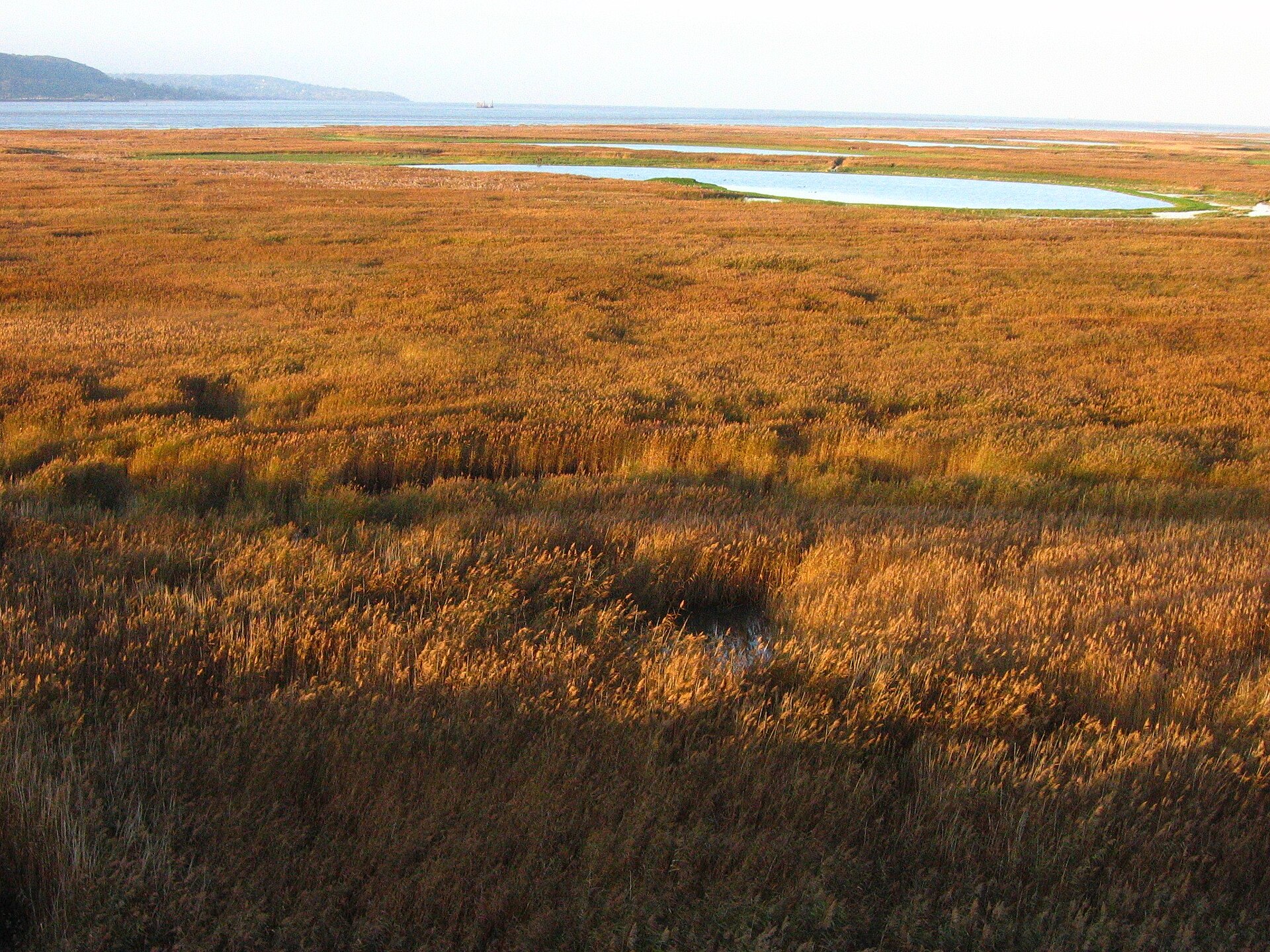
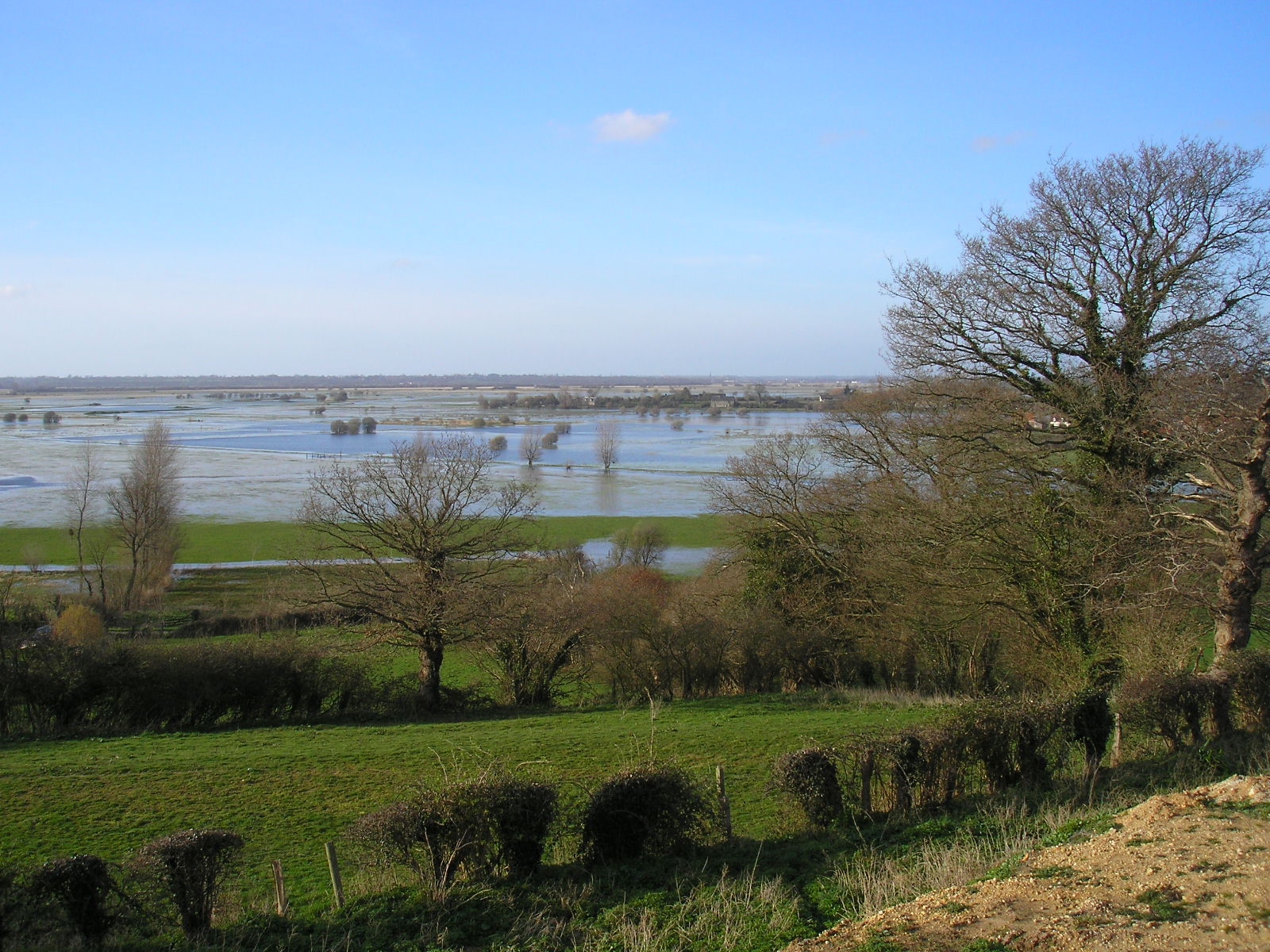
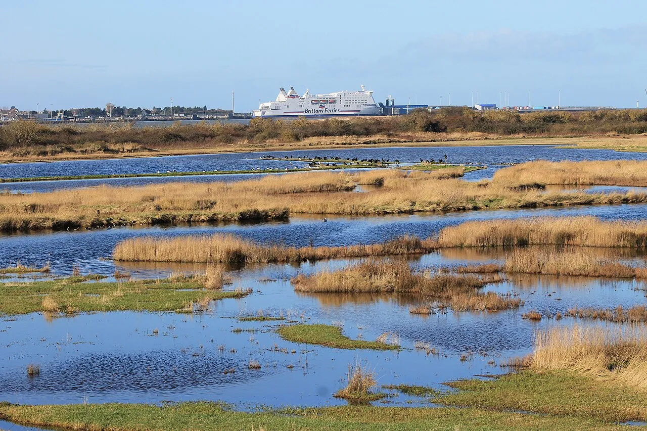
An area spanning land and sea, with wetlands and coasts.
What rocks lie beneath Baie de l'Orne?
According to the BRGM's simplified lithological map, the bedrock consists mainly of limestones, marls and gypsum (100% of sampled points). These are mostly sedimentary rocks.
Which international labels apply to Baie de l'Orne?
Natura 2000 network (1 site: “Estuaire de l'Orne”).
When is the best time to visit Baie de l'Orne?
Best time to visit: from April to October, with average temperatures of 10 to 19 °C and moderate rainfall.
What is there to see in Baie de l'Orne?
5 viewpoints and 5 bird hides, including Observatoire de la Pointe du Siège (OpenStreetMap).
Are there historic monuments in Baie de l'Orne?
Yes. According to the French Ministry of Culture's Mérimée database, one historic monument (inscrit) stands within the boundary. For example: “Ancienne redoute” in Merville-Franceville-Plage.
Can you swim in Baie de l'Orne?
One monitored bathing site lies in or within 1 km of the site; official 2025 classification: 1 excellent (European Environment Agency). Swimming is only permitted at the sites and times authorised locally.
What is the nearest large city to Baie de l'Orne?
Nearest towns of over 50,000 people, as the crow flies: Caen (12 km) and Le Havre (33 km). Nearest airport: Caen – Carpiquet (CFR), about 17 km away.
How can I reach Baie de l'Orne by train?
The nearest railway station is Dives - Cabourg, about 8 km from the site boundary.
Where can I get visitor information on site?
Maison du Tourisme.
Are there waymarked hiking trails in Baie de l'Orne?
Yes. Waymarked hiking routes listed in OpenStreetMap: 3, including GR 223. The “Baie de l'Orne” route runs for about 6 km through the site.
Which species can be seen in Baie de l'Orne?
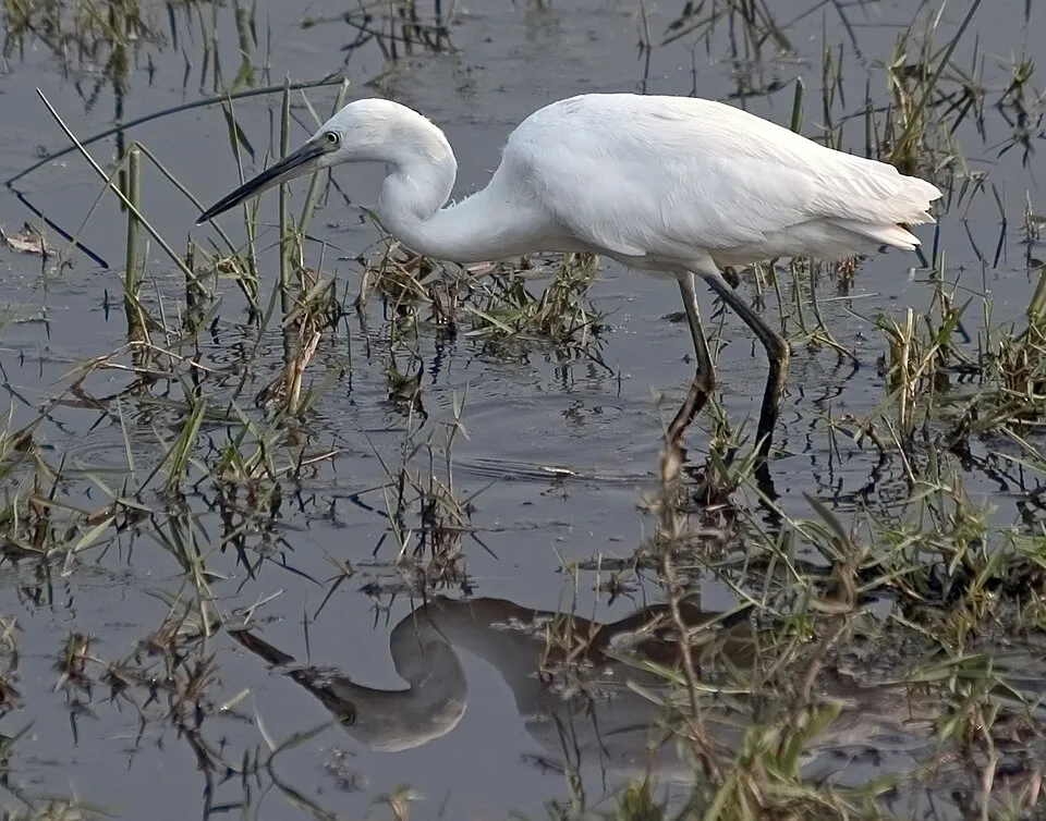
Among the species most often recorded on GBIF are Egretta garzetta (Little Egret), Tadorna tadorna (Common Shelduck), Cygnus olor (Mute Swan) and Phalacrocorax carbo (Great Cormorant).
© OpenStreetMap
Download the boundary: GeoJSON · GPX Boundary © OpenStreetMap contributors (ODbL).
Geography
Over the 1996–2025 period, the mean annual temperature is about 11.9 °C and total precipitation reaches roughly 773 mm per year. The warmest month is usually August, the coolest January, and the wettest December. According to the BRGM's simplified lithological map, the bedrock consists mainly of limestones, marls and gypsum (100% of sampled points). These are mostly sedimentary rocks.
Area
- Area of the boundary
- 470 ha
- Coordinates
- 49.2714, -0.2278
Bedrock
- Limestones, marls and gypsum 100 %
Sedimentary rocks 100 %
Source: BRGM, simplified lithological map at 1:1,000,000 (Licence Ouverte), 9 points sampled within the boundary.
Climate
● Mean temperature (°C) · ▮ Precipitation (mm)
Source: Copernicus ERA5-Land (C3S, doi:10.24381/cds.68d2bb30), monthly averages 1996–2025 interpolated to the representative point, temperatures adjusted for elevation.
Contains modified Copernicus Climate Change Service information 2026. Neither the European Commission nor ECMWF is responsible for any use that may be made of the Copernicus information or data it contains.
Natural habitats
According to CORINE Land Cover (2018), the land area is mainly made up of salt marshes and salt pans (40%), grassland and meadows (24%) and heath and scrub (21%). The sea covers about 20% of the site. The seabed reaches about 31 m deep (median depth 9 m; GEBCO bathymetry). The land is almost flat (mean slope under 2°).
Biodiversity
Based on occurrences aggregated by GBIF, several species are regularly recorded within the site. Among the most frequent are Egretta garzetta (Little Egret), Tadorna tadorna (Common Shelduck), Cygnus olor (Mute Swan) and Phalacrocorax carbo (Great Cormorant). The full list of documented taxa is shown below. The overlapping Natura 2000 site lists 29 species of European interest: 29 birds.
Species of European interest
Birds · 29
Common Kingfisher (Alcedo atthis) passage wintering, Purple Heron (Ardea purpurea) passage, Short-eared Owl (Asio flammeus) passage, Barnacle goose (Branta leucopsis) passage, Eurasian Stone-curlew (Burhinus oedicnemus) passage, Ruff (Calidris pugnax) passage, Black Tern (Chlidonias niger) passage, Western Marsh Harrier (Circus aeruginosus) passage, Hen Harrier (Circus cyaneus) wintering, Montagu's Harrier (Circus pygargus) passage, Whooper Swan (Cygnus cygnus) passage wintering, Little Egret (Egretta garzetta) passage wintering and 17 more
Source: Natura 2000 standard data forms (EEA, CC-BY 4.0). Not exhaustive: sensitive species are not published.
Species to look out for


Bird
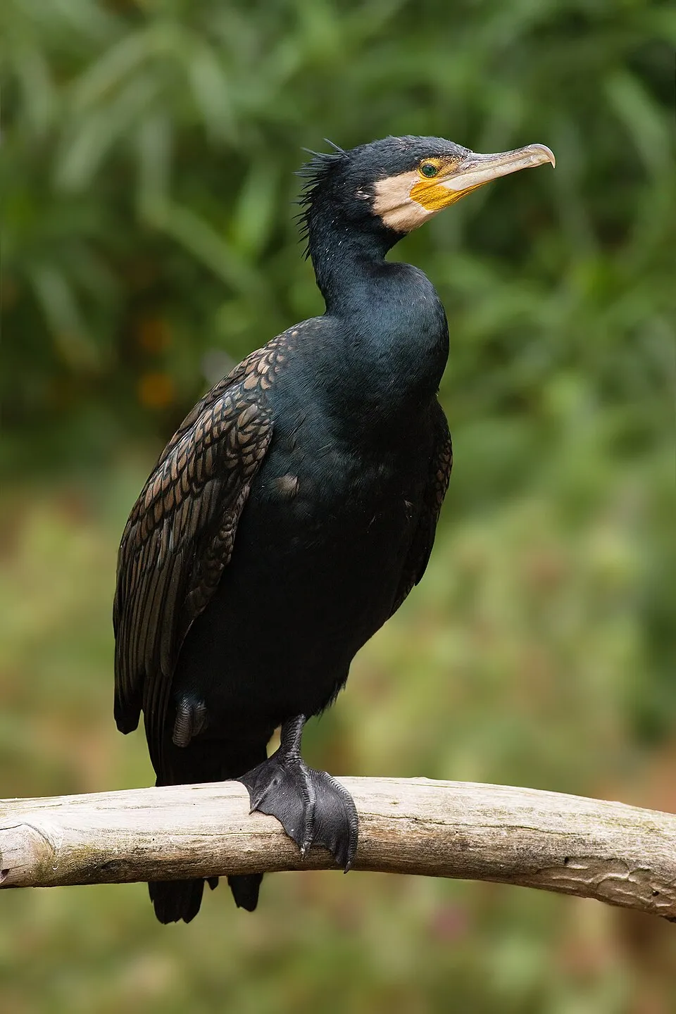
Great Cormorant
Phalacrocorax carbo368 records © JJ Harrison (https://www.jjharrison.com.au/) · CC BY-SA 3.0
Observed species
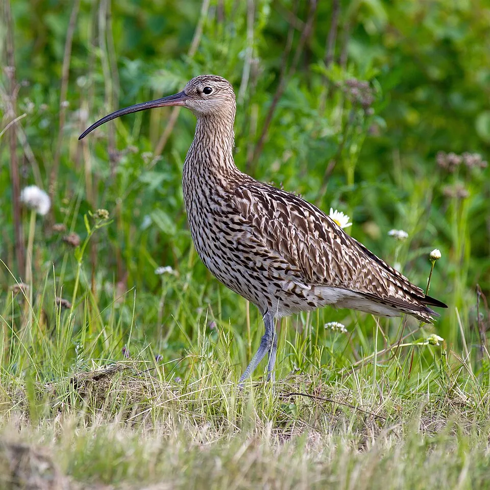
Occurrences documented via GBIF; they are neither an exhaustive inventory nor proof of current presence.
- Little Egret · Egretta garzetta · 660
- Common Shelduck · Tadorna tadorna · 384
- Mute Swan · Cygnus olor · 373
- Great Cormorant · Phalacrocorax carbo · 368
- Eurasian Curlew · Numenius arquata · 362
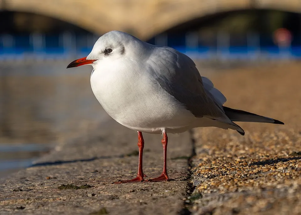
- Black-headed Gull · Chroicocephalus ridibundus · 361
- Common Redshank · Tringa totanus · 356
- Grey Heron · Ardea cinerea · 334
- European Herring Gull · Larus argentatus · 300
- Common Wood Pigeon · Columba palumbus · 272
- Mallard · Anas platyrhynchos · 272
- Common Chiffchaff · Phylloscopus collybita · 251
+18 more species
- Common Linnet · Linaria cannabina · 246
- Pied Avocet · Recurvirostra avosetta · 241
- Common Blackbird · Turdus merula · 240
- Carrion crow · Corvus corone · 214
- European robin · Erithacus rubecula · 213
- Dunnock · Prunella modularis · 202
- Cetti's Warbler · Cettia cetti · 200
- Eurasian Magpie · Pica pica · 196
- Little Grebe · Tachybaptus ruficollis · 193
- Eurasian Wren · Troglodytes troglodytes · 192
- European Goldfinch · Carduelis carduelis · 180
- Great Black-backed Gull · Larus marinus · 174
- Eurasian Whimbrel · Numenius phaeopus · 174
- Eurasian Blackcap · Sylvia atricapilla · 172
- Eurasian Spoonbill · Platalea leucorodia · 166
- Dunlin · Calidris alpina · 166
- Zitting Cisticola · Cisticola juncidis · 166
- Eurasian Teal · Anas crecca · 157
Records: GBIF.org (CC-BY). Names: Wikidata (CC0), GBIF. Photos: Wikimedia Commons.
Conservation challenges
The primary purpose of the site is to preserve its natural habitats and the biodiversity they support. The species recorded (Biodiversity tab) reflect its ecological value. The designations it holds frame its management and the control of land use.
According to CORINE Land Cover, land cover here remained almost unchanged between 1990 and 2018 (less than 0.5% of the area affected). At night, 36% of the area gives off artificial light detectable from space (NASA VIIRS Black Marble composite, 2016). Built-up and developed land (buildings, business areas, roads, quarries) covers 5% of the area (CORINE Land Cover). According to the Water Framework Directive assessment (2022 river basin management plans, data 2012–2017), water bodies assessed within the site: lagoons and estuaries, 0 of 1 in good ecological status or better. Since 2000, 11 invasive alien species have been recorded within the site (GBIF observations), 3 of them listed as of Union concern under EU Regulation 1143/2014. Among them: Myocastor coypus (Coypu), Ailanthus altissima (Tree-of-heaven) and Ondatra zibethicus (Muskrat).
Pressure indicators
Fires since 2016
0
No large fire mapped (fires over about 30 ha)
Light at night
36%
of the area gives off artificial light visible from space
DarkLit
Built-up land
5%
buildings, business areas, roads, quarries · farmland 4%
Land cover change
< 0.5%
of the area changed, 1990–2018 · CORINE
Rivers and lakes
Lagoons and estuaries: 0 of 1 good or better
assessments 2012–2017
Invasive alien species
11
incl. 3 of EU concern · since 2000
 CoypuEU
 Tree-of-heavenEU
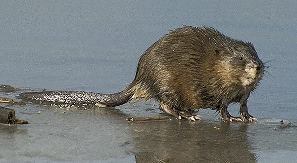 MuskratEU
 Japanese rose
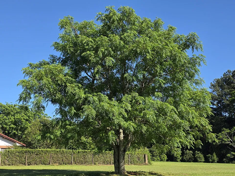 Russian olive
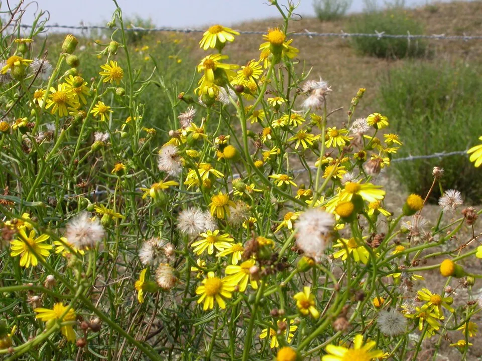 Narrow-leaved ragwort
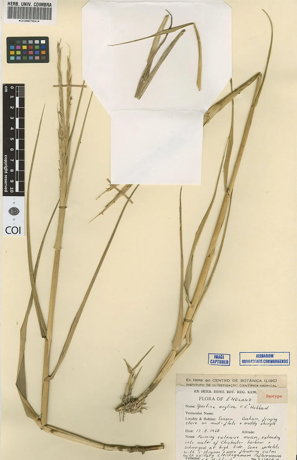 Common Cord-grass
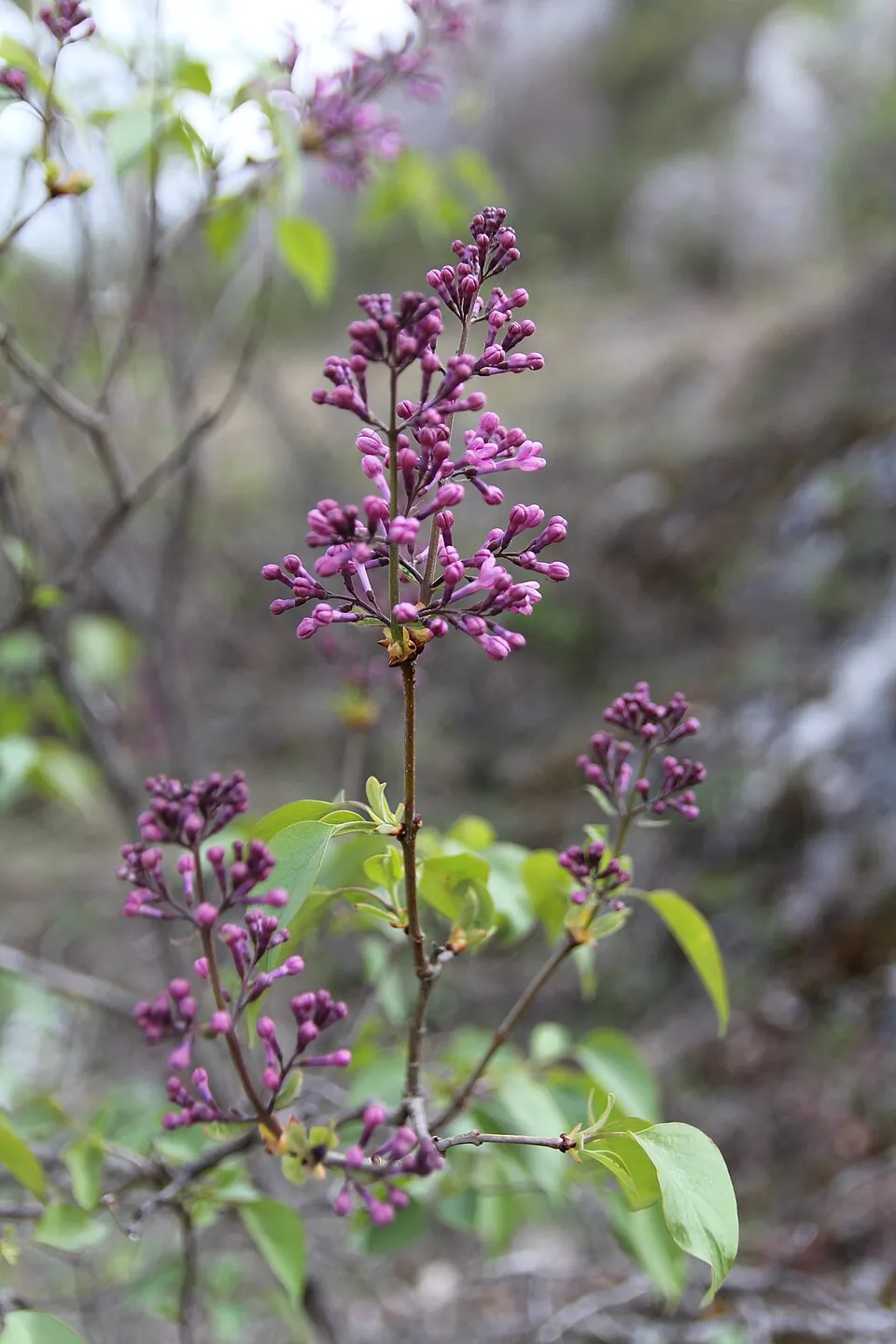 Common Lilac
Photos: Coypu © Philippe Amelant · CC BY-SA 3.0; Tree-of-heaven © Darkone · CC BY-SA 2.5; Muskrat © David Menke · Public domain; Japanese rose © Vihljun · Public domain; Russian olive © Horacio Cambeiro · CC BY-SA 4.0; Narrow-leaved ragwort © Pieter Pelser · CC BY 3.0; Common Cord-grass © Herbarium of the University of Coimbra (COI) · CC BY 4.0; Common Lilac © Aporia.j · CC BY-SA 4.0
Sources: Global Forest Change (Hansen et al., University of Maryland, via Global Forest Watch, CC-BY 4.0); EFFIS, European Commission / Copernicus; NASA Black Marble 2016 (public domain); CORINE Land Cover 2018 (Copernicus) or MODIS.
CORINE Land Cover Change 1990–2018: generated using European Union's Copernicus Land Monitoring Service information (EEA), aggregated by Parkavela; DOI 10.2909/f30f1000-7cf8-43bb-872c-5eb093911b24.
Ecological status of water bodies: European Environment Agency, WISE – Water Framework Directive, 3rd river basin management plans (2022), CC BY 4.0. Official national classification, not comparable between countries.
Invasive alien species: Global Register of Introduced and Invasive Species (ISSG, CC BY 4.0); Union list, Regulation (EU) 1143/2014 (INBO, CC0); GBIF.org records (CC0 / CC BY 4.0), at least 2 per species.
Practical information
Cities and airport
- Caen
12 km as the crow flies - Le Havre
33 km as the crow flies - Airport: Caen – Carpiquet (CFR)
17 km as the crow flies
Visitor information
- Maison du Tourisme
2 km from the site boundary
Parking
5 public car parks listed within the site
AutocarsLa BaieRedoute de Merville
Hiking
3 waymarked routes listed, including:
GR 223
By bike
EV4 · 4 km
Signed cycle routes: this does not mean that cycling is allowed on footpaths.
Data © OpenStreetMap contributors (ODbL) · Wikidata (CC0)
Contains information from EuroVelo GPX tracks downloaded from www.EuroVelo.com on 2026-10-22, which is made available here under the Open Database License (ODbL). EuroVelo® is a registered trademark of the ECF. Routes © OpenStreetMap contributors (ODbL), via Waymarked Trails
Waymarked hiking routes
Tracks © OpenStreetMap contributors (ODbL), clipped to the boundary; elevation gain and profiles computed on the longest section from Mapzen Terrain Tiles (≈ 30 m), indicative only.
Bathing
1 monitored bathing site in or within 1 km of the site · 2025 classification
Excellent · 1
- Franceville Plage · sea · Excellent
Source: European Environment Agency, official bathing water classification (Directive 2006/7/EC, CC-BY 4.0). Swimming is only permitted at the sites and times authorised locally.
Access and visiting
The nearest railway station is Dives - Cabourg, about 8 km from the site boundary. Nearest towns of over 50,000 people, as the crow flies: Caen (12 km) and Le Havre (33 km). Nearest airport: Caen – Carpiquet (CFR), about 17 km away. About 340,000 people live within 20 km of the site boundary, 100,000 of them within 10 km (GHSL estimate, 2020). This population has grown by about 6% since 2000. Visitor information on site: Maison du Tourisme. Public car parks listed within the site: 5, including Autocars, La Baie and Redoute de Merville. Waymarked hiking routes listed in OpenStreetMap: 3, including GR 223. The EuroVelo 4 cycle route (Central Europe Route) crosses the site for about 4 km, mostly developed and signed (EuroVelo). To see: 5 viewpoints and 5 bird hides, including Observatoire de la Pointe du Siège. To plan a visit (access, opening periods, visitor rules), it is best to consult the official information from the managing body and the official website listed in this page's sources.
Source: OpenStreetMap (ODbL), Wikidata (CC0), October 2026.
Built heritage
According to the French Ministry of Culture's Mérimée database, one historic monument (inscrit) stands within the boundary. It is “Ancienne redoute” in Merville-Franceville-Plage.
-
Ancienne redoute
Merville-Franceville-Plage · 18th c.
Source: Mérimée database, French Ministry of Culture (Licence Ouverte 2.0). Each record links to the Plateforme ouverte du patrimoine (POP).
When to visit
Best time to visit: from April to October, with average temperatures of 10 to 19 °C and moderate rainfall. Day length ranges from about 8 h 12 min in December to 16 h 13 min in June. Wildlife records published on GBIF peak for birds (May), plants (from June to August), butterflies and moths (July) and mammals (August and September). These peaks also reflect when observers are most active.
Source: Copernicus ERA5-Land (C3S), monthly averages 1996–2025 at the representative point, temperatures adjusted for elevation.
Contains modified Copernicus Climate Change Service information 2026. Neither the European Commission nor ECMWF is responsible for any use that may be made of the Copernicus information or data it contains.
Wildlife records calendar
JFMAMJJASOND
Birds
Plants
Butterflies & moths
Mammals
Monthly records published on GBIF (CC-BY), relative to the busiest month; also reflects observer activity.
Gallery
© Roi.dagobert · CC BY-SA 3.0
© Alexis Lours · CC BY 4.0
© Karldupart · CC BY-SA 4.0
© Bernard DUPONT from FRANCE · CC BY-SA 2.0
© Karldupart · CC BY-SA 4.0
© Roi.dagobert · CC BY-SA 3.0
Sources and licences
- OpenStreetMap: relation 2123953
References
- cds.climate.copernicus.eu: climate · CC-BY-4.0
- registry.opendata.aws: elevation of the reference point, detailed relief · PD
- land.copernicus.eu: land cover, land cover change, sea share · COPERNICUS
- doi.org: population around the site · CC-BY-4.0
- openstreetmap.org: official name, access and peaks, places to see, trail difficulty, wheelchair access · ODbL-1.0
- eea.europa.eu: bathing water quality, ecological status of waters · CC-BY-4.0
- en.eurovelo.com: EuroVelo cycle routes · ODbL-1.0
- cycling.waymarkedtrails.org: cycle routes · ODbL-1.0
- gebco.net: depths · PD
- opentopodata.org: elevations · PD
- forest-fire.emergency.copernicus.eu: wildfires · COPERNICUS
- globalforestwatch.org: tree cover loss · CC-BY-4.0
- gbif.org: seasonality of sightings, invasive alien species, observed species · CC-BY-4.0
- infoterre.brgm.fr: geology · LO-2.0
- pop.culture.gouv.fr: protected heritage · LO-2.0
- hydrosheds.org: lakes · CC-BY-4.0
- natura2000.eea.europa.eu: Natura 2000 habitats and species · CC-BY-4.0
- earthobservatory.nasa.gov: night light · PD
- hiking.waymarkedtrails.org: route difficulty · ODbL-1.0
- nsidc.org: snow cover · PD
- wikidata.org: nearby cities and airport, access and peaks, lake depths, places to see · CC0-1.0
Data © OpenStreetMap contributors (ODbL), Wikidata (CC0) and the sources cited.