France · Terrestrial
Réserve naturelle nationale de l'île de la Platière
Nature reserve of 483 hectares in France, established in 1986.
Overview
Nature reserve of 483 hectares in France, established in 1986.
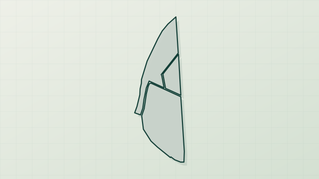
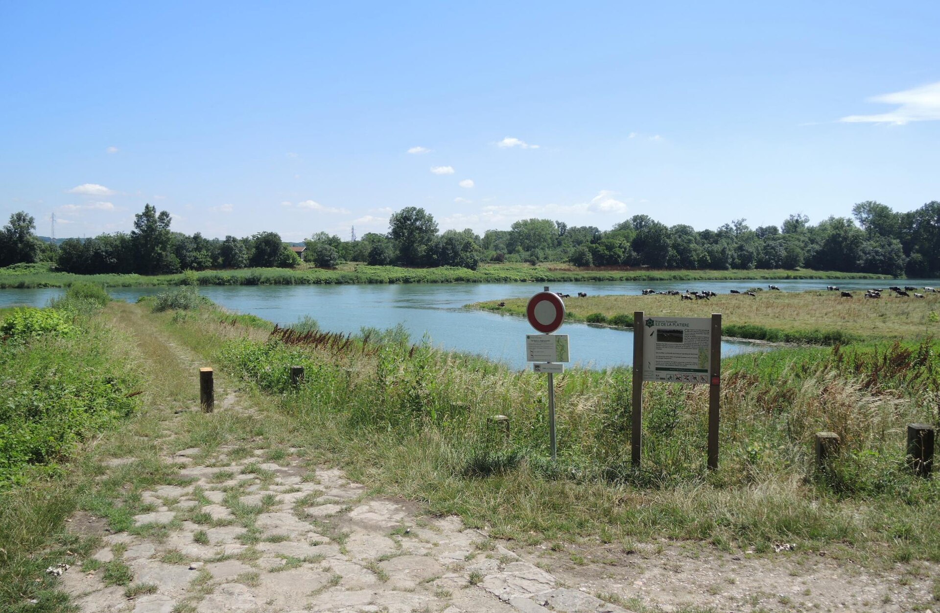
Réserve naturelle nationale de l'île de la Platière is a nature reserve in France (Europe). It is a predominantly terrestrial area. Established on 6 March 1986, it covers about 483 hectares.
Protections and designations
Natura 2000 · habitats (SAC)
Natura 2000 · birds (SPA)
- Île de la Platière FR8212012
Protected as a nature reserve. International labels and designations: Natura 2000 network (2 sites). Key dates: established in 1986, first Natura 2000 site under the Birds Directive in 2006 and first Natura 2000 site under the Habitats Directive in 2014.
In our collections
Timeline
-
1986
Established
-
2006
First Natura 2000 site under the Birds Directive
-
2014
First Natura 2000 site under the Habitats Directive
Sources: Wikidata (CC0) for establishment and international labels; EEA Natura 2000 database (CC-BY 4.0) for site designation dates.
Frequently asked questions
Where is Réserve naturelle nationale de l'île de la Platière?
In France (Europe). Representative point: 45.3549° N, 4.7663° E.
How large is Réserve naturelle nationale de l'île de la Platière?
About 483 hectares (5 km²). It is the 50th largest of the 121 nature reserves in France covered by Parkavela.
When was Réserve naturelle nationale de l'île de la Platière established?
On 6 March 1986.
What habitats and landscapes does Réserve naturelle nationale de l'île de la Platière include?
A terrestrial area, with forests and freshwater.
What rocks lie beneath Réserve naturelle nationale de l'île de la Platière?
According to the BRGM's simplified lithological map, the bedrock consists mainly of gneiss (100% of sampled points). These are mostly metamorphic rocks.
Which international labels apply to Réserve naturelle nationale de l'île de la Platière?
Natura 2000 network (2 sites).
When is the best time to visit Réserve naturelle nationale de l'île de la Platière?
Best time to visit: from April to October, with average temperatures of 12 to 23 °C and moderate rainfall.
What is there to see in Réserve naturelle nationale de l'île de la Platière?
1 bird hide (OpenStreetMap).
What is the nearest large city to Réserve naturelle nationale de l'île de la Platière?
Nearest towns of over 50,000 people, as the crow flies: Saint-Étienne (29 km) and Metropolis of Lyon (41 km). Nearest airport: Saint-Étienne-Loire (EBU), about 39 km away.
How can I reach Réserve naturelle nationale de l'île de la Platière by train?
The nearest railway station is Péage-de-Roussillon, about 2 km from the site boundary.
Where can I get visitor information on site?
Maison de la Lône, Pavillon du Tourisme - Porte de l'Ardèche and Bureau d'Informations Touristiques de Saint-Maurice-l'Exil.
Which species can be seen in Réserve naturelle nationale de l'île de la Platière?
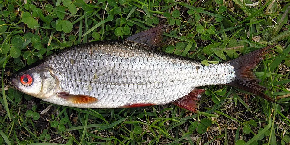
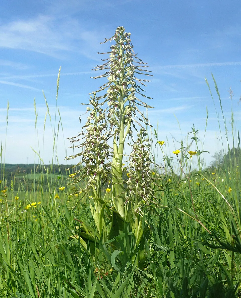
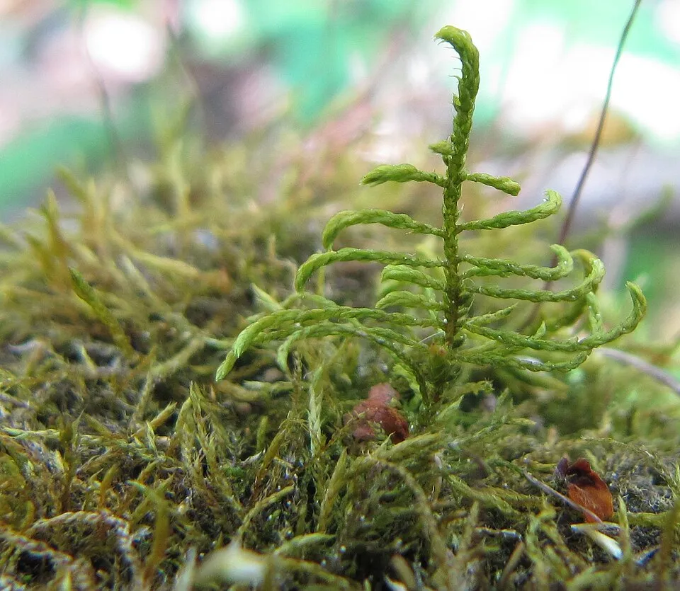
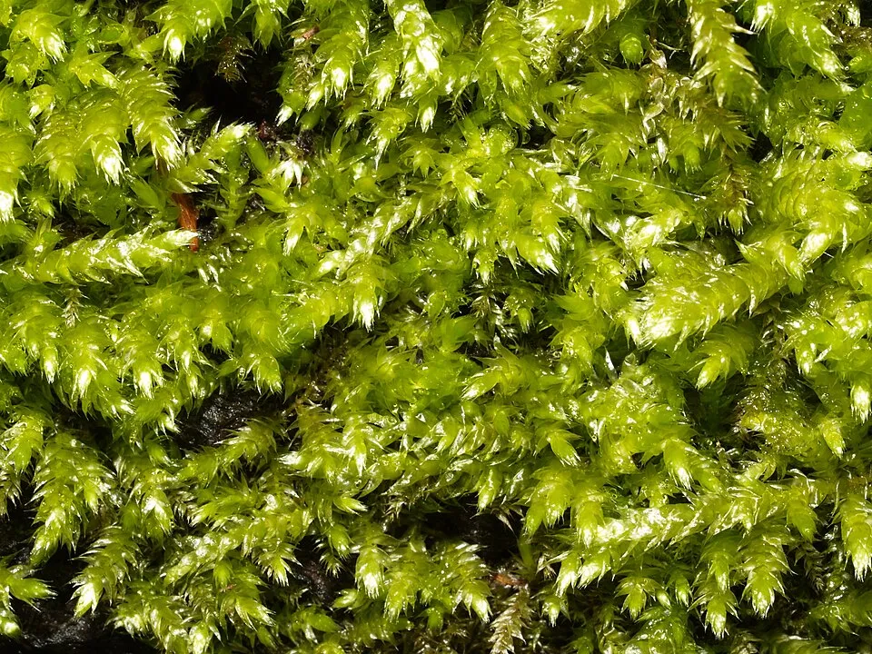
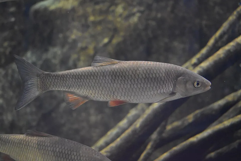
Among the species most often recorded on GBIF are Rutilus rutilus (Roach), Himantoglossum hircinum (Lizard orchid), Leskea polycarpa (Leskea moss) and Brachythecium rutabulum (Brachythecium moss).
What is the official website of Réserve naturelle nationale de l'île de la Platière?
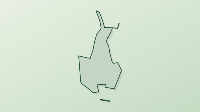
© OpenStreetMap
Download the boundary: GeoJSON · GPX Boundary © OpenStreetMap contributors (ODbL).
Geography
The representative point of the site lies at around 142 m above sea level. Over the 1996–2025 period, the mean annual temperature is about 13.0 °C and total precipitation reaches roughly 1,024 mm per year. The warmest month is usually July, the coolest January, and the wettest November. According to the BRGM's simplified lithological map, the bedrock consists mainly of gneiss (100% of sampled points). These are mostly metamorphic rocks.
Area
- Area
- 483 ha
- Elevation
- 142 m
- Coordinates
- 45.3549, 4.7663
Bedrock
- Gneiss 100 %
Metamorphic rocks 100 %
Source: BRGM, simplified lithological map at 1:1,000,000 (Licence Ouverte), 13 points sampled within the boundary.
Climate
● Mean temperature (°C) · ▮ Precipitation (mm)
Source: Copernicus ERA5-Land (C3S, doi:10.24381/cds.68d2bb30), monthly averages 1996–2025 interpolated to the representative point, temperatures adjusted for elevation.
Contains modified Copernicus Climate Change Service information 2026. Neither the European Commission nor ECMWF is responsible for any use that may be made of the Copernicus information or data it contains.
Natural habitats
According to CORINE Land Cover (2018), the site is mainly made up of forests (40%), farmland (26%) and lakes and rivers (22%). Woodland is mostly broadleaved. The land is almost flat (mean slope under 2°). The 2 Natura 2000 sites overlapping the area list 12 habitats of European interest (2 priority), the most extensive being riparian mixed forests of Quercus robur, Ulmus laevis and Ulmus minor, Fraxinus excelsior or Fraxinus angustifolia, along the great rivers (Ulmenion minoris), natural eutrophic lakes with Magnopotamion or Hydrocharition-type vegetation and alluvial forests with Alnus glutinosa and Fraxinus excelsior (Alno-Padion, Alnion incanae, Salicion albae).
Biodiversity
Based on occurrences aggregated by GBIF, several species are regularly recorded within the site. Among the most frequent are Rutilus rutilus (Roach), Himantoglossum hircinum (Lizard orchid), Leskea polycarpa (Leskea moss) and Brachythecium rutabulum (Brachythecium moss). The full list of documented taxa is shown below. The overlapping Natura 2000 sites list 103 species of European interest: 80 birds, 11 mammals, 1 reptile, 2 amphibians, 5 fish and 4 invertebrates.
Habitats of European interest
From the official forms of the 2 Natura 2000 sites overlapping the area (areas reported for each whole site).
- Riparian mixed forests of Quercus robur, Ulmus laevis and Ulmus minor, Fraxinus excelsior or Fraxinus angustifolia, along the great rivers (Ulmenion minoris) 176 ha
- Natural eutrophic lakes with Magnopotamion or Hydrocharition-type vegetation 50 ha
- Alluvial forests with Alnus glutinosa and Fraxinus excelsior (Alno-Padion, Alnion incanae, Salicion albae) priority 46 ha
- Salix alba and Populus alba galleries 43 ha
- Water courses of plain to montane levels with the Ranunculion fluitantis and Callitricho-Batrachion vegetation 33 ha
- Hydrophilous tall herb fringe communities of plains and of the montane to alpine levels 33 ha
- Semi-natural dry grasslands and scrubland facies on calcareous substrates (Festuco-Brometalia) (* important orchid sites) 21 ha
- Molinia meadows on calcareous, peaty or clayey-silt-laden soils (Molinion caeruleae) 1 ha
and 4 more
Species of European interest
Birds · 80
Goshawk (Accipiter gentilis arrigonii) passage, Common Sandpiper (Actitis hypoleucos) passage wintering, Common Kingfisher (Alcedo atthis) resident, Northern Pintail (Anas acuta) passage, Eurasian Teal (Anas crecca) wintering, Mallard (Anas platyrhynchos) breeding wintering, Great Egret (Ardea alba) wintering passage, Grey Heron (Ardea cinerea) resident breeding, Purple Heron (Ardea purpurea) passage, Squacco Heron (Ardeola ralloides) passage, Common Pochard (Aythya ferina) wintering, Tufted Duck (Aythya fuligula) wintering and 68 more
Mammals · 11
Eurasian Beaver (Castor fiber), Savi's Pipistrelle (Hypsugo savii savii), Eurasian otter (Lutra lutra), European pine marten (Martes martes), Hazel dormouse (Muscardinus avellanarius), Western Polecat (Mustela putorius), Geoffroy's bat (Myotis emarginatus), Natterer's bat (Myotis nattereri), Lesser noctule (Nyctalus leisleri), Common noctule (Nyctalus noctula), Common pipistrelle (Pipistrellus pipistrellus)
Reptiles · 1
Amphibians · 2
Fish · 5
European bullhead (Cottus gobio), European brook lamprey (Lampetra planeri), South-West European Nase (Parachondrostoma toxostoma), European bitterling (Rhodeus amarus), Souffia (Telestes souffia)
Invertebrates · 4
Southern damselfly (Coenagrion mercuriale), Yellow-legged dragonfly (Gomphus flavipes), Stag beetle (Lucanus cervus), Orange-spotted Emerald (Oxygastra curtisii)
Source: Natura 2000 standard data forms (EEA, CC-BY 4.0). Not exhaustive: sensitive species are not published.
Species to look out for
Plant
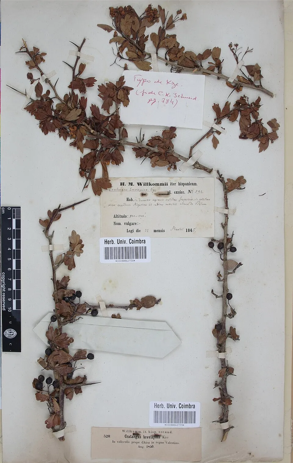
Hawthorn
Crataegus monogyna73 records © Herbarium of the University of Coimbra (COI) · CC BY 4.0
Observed species
Occurrences documented via GBIF; they are neither an exhaustive inventory nor proof of current presence.
- Roach · Rutilus rutilus · 140
- Lizard orchid · Himantoglossum hircinum · 114
- Leskea moss · Leskea polycarpa · 107
- Brachythecium moss · Brachythecium rutabulum · 77
- Hawthorn · Crataegus monogyna · 73
- Chub · Squalius cephalus · 71
- Giant goldenrod · Solidago gigantea · 67
- Common Nettle · Urtica dioica · 66
- Traveller's-joy · Clematis vitalba · 59
- Dogwood · Cornus sanguinea · 59
- Wild Privet · Ligustrum vulgare · 59
- Aulonothroscus brevicollis · 59
+18 more species
- Hypnum moss · Hypnum cupressiforme · 58
- Black Poplar · Populus nigra · 58
- Ashleaf maple · Acer negundo · 57
- Italian lords-and-ladies · Arum italicum · 57
- Black locust · Robinia pseudoacacia · 57
- Common Ivy · Hedera helix · 56
- Smaller Lattice-moss · Cinclidotus fontinaloides · 54
- Dewberry · Rubus caesius · 54
- Great Cormorant · Phalacrocorax carbo · 52
- Spindle · Euonymus europaeus · 50
- Monkey orchid · Orchis simia · 49
- Anomodon moss · Anomodon viticulosus · 48
- Wood Bristle-moss · Lewinskya affinis · 47
- Dilated Scalewort · Frullania dilatata · 46
- Early spider-orchid · Ophrys sphegodes · 46
- Pyramidal orchid · Anacamptis pyramidalis · 45
- Orthotrichum moss · Orthotrichum diaphanum · 44
- Eastern daisy fleabane · Erigeron annuus · 44
Records: GBIF.org (CC-BY). Names: Wikidata (CC0), GBIF. Photos: Wikimedia Commons.
Conservation challenges
The primary purpose of the site is to preserve its natural habitats and the biodiversity they support. The species recorded (Biodiversity tab) reflect its ecological value. The designations it holds frame its management and the control of land use.
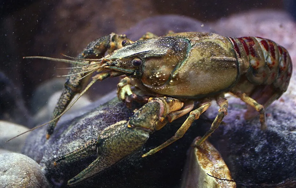
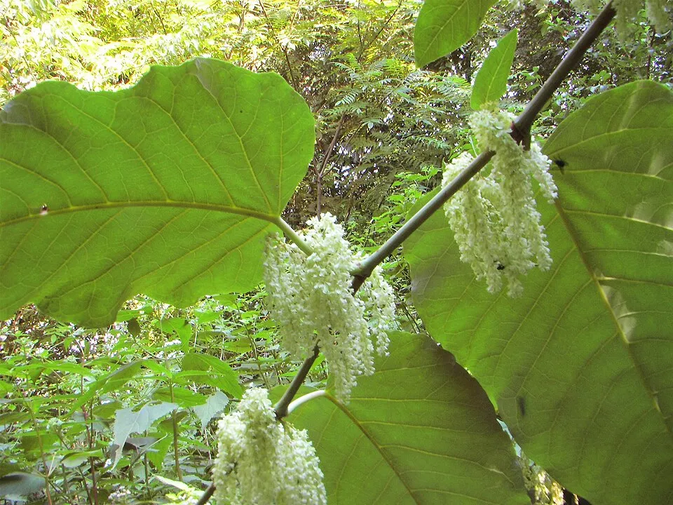
According to CORINE Land Cover, land cover here remained almost unchanged between 1990 and 2018 (less than 0.5% of the area affected). At night, 100% of the area gives off artificial light detectable from space (NASA VIIRS Black Marble composite, 2016). Built-up and developed land (buildings, business areas, roads, quarries) covers 3% of the area, and farmland 26% (CORINE Land Cover). According to the Natura 2000 forms, of 12 assessed habitats of European interest, 1 is in excellent condition and 4 in average or reduced condition. According to the Water Framework Directive assessment (2022 river basin management plans, data 2015–2017), none of the 10 km of rivers assessed within the site reaches good ecological status; they mostly have moderate ecological status. Since 2000, 37 invasive alien species have been recorded within the site (GBIF observations), 9 of them listed as of Union concern under EU Regulation 1143/2014. Among them: Reynoutria bohemica (Bohemian knotweed), Faxonius limosus (Spinycheek crayfish) and Ailanthus altissima (Tree-of-heaven).
Pressure indicators
Tree cover lost
9 ha
2001–2023 · 2% of the area
20012023
Fires since 2016
0
No large fire mapped (fires over about 30 ha)
Light at night
100%
of the area gives off artificial light visible from space
DarkLit
Built-up land
3%
buildings, business areas, roads, quarries · farmland 26%
Land cover change
< 0.5%
of the area changed, 1990–2018 · CORINE
Rivers and lakes
0%
of the 10 km of assessed rivers in good or high ecological status · WFD 2022
assessments 2015–2017
Invasive alien species
37
incl. 9 of EU concern · since 2000
Bohemian knotweedEU
 Spinycheek crayfishEU
 Tree-of-heavenEU
Common milkweedEU
 Giant KnotweedEU
 Western waterweedEU
 Himalayan BalsamEU
 PumpkinseedEU
Spinycheek crayfishEU
Tree-of-heavenEU
Common milkweedEU
Giant KnotweedEU
Western waterweedEU
Himalayan BalsamEU
PumpkinseedEU
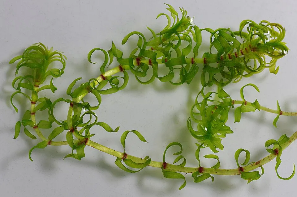
Photos: Spinycheek crayfish © Astacoides · CC BY-SA 3.0; Tree-of-heaven © Darkone · CC BY-SA 2.5; Giant Knotweed © Velocicaptor · Public domain; Western waterweed © Christian Fischer · CC BY-SA 3.0; Himalayan Balsam © Guptaele · CC BY-SA 4.0; Pumpkinseed © Cephas · CC BY-SA 3.0
Sources: Global Forest Change (Hansen et al., University of Maryland, via Global Forest Watch, CC-BY 4.0); EFFIS, European Commission / Copernicus; NASA Black Marble 2016 (public domain); CORINE Land Cover 2018 (Copernicus) or MODIS.
CORINE Land Cover Change 1990–2018: generated using European Union's Copernicus Land Monitoring Service information (EEA), aggregated by Parkavela; DOI 10.2909/f30f1000-7cf8-43bb-872c-5eb093911b24.
Ecological status of water bodies: European Environment Agency, WISE – Water Framework Directive, 3rd river basin management plans (2022), CC BY 4.0. Official national classification, not comparable between countries.
Invasive alien species: Global Register of Introduced and Invasive Species (ISSG, CC BY 4.0); Union list, Regulation (EU) 1143/2014 (INBO, CC0); GBIF.org records (CC0 / CC BY 4.0), at least 2 per species.
Practical information
Cities and airport
- Saint-Étienne
29 km as the crow flies - Metropolis of Lyon
41 km as the crow flies - Airport: Saint-Étienne-Loire (EBU)
39 km as the crow flies
Visitor information
- Maison de la Lône
within the site - Pavillon du Tourisme - Porte de l'Ardèche
< 1 km from the site boundary - Bureau d'Informations Touristiques de Saint-Maurice-l'Exil
2 km from the site boundary - Office du tourisme du Pilat Rhodanien
2 km from the site boundary
Things to see
1 bird hide
Data © OpenStreetMap contributors (ODbL) · Wikidata (CC0)
Access and visiting
The nearest railway station is Péage-de-Roussillon, about 2 km from the site boundary. Nearest towns of over 50,000 people, as the crow flies: Saint-Étienne (29 km) and Metropolis of Lyon (41 km). Nearest airport: Saint-Étienne-Loire (EBU), about 39 km away. About 290,000 people live within 20 km of the site boundary, 110,000 of them within 10 km; some 530 people are estimated to live inside (GHSL estimate, 2020). This population has grown by about 17% since 2000. Visitor information on site: Maison de la Lône, Pavillon du Tourisme - Porte de l'Ardèche and Bureau d'Informations Touristiques de Saint-Maurice-l'Exil. To see: 1 bird hide. To plan a visit (access, opening periods, visitor rules), it is best to consult the official information from the managing body and the official website listed in this page's sources.
Source: OpenStreetMap (ODbL), Wikidata (CC0), October 2026.
When to visit
Best time to visit: from April to October, with average temperatures of 12 to 23 °C and moderate rainfall. Day length ranges from about 8 h 44 min in December to 15 h 38 min in June. Wildlife records published on GBIF peak for birds (March), plants (June and July) and dragonflies (July). These peaks also reflect when observers are most active.
Source: Copernicus ERA5-Land (C3S), monthly averages 1996–2025 at the representative point, temperatures adjusted for elevation.
Contains modified Copernicus Climate Change Service information 2026. Neither the European Commission nor ECMWF is responsible for any use that may be made of the Copernicus information or data it contains.
Wildlife records calendar
JFMAMJJASOND
Birds
Plants
Dragonflies
Monthly records published on GBIF (CC-BY), relative to the busiest month; also reflects observer activity.
Gallery
© François Bassaget · CC BY-SA 4.0
© François Bassaget · CC BY-SA 4.0
© Celeda · CC BY-SA 4.0
© François Bassaget · CC BY-SA 4.0
© Celeda · CC BY-SA 4.0
© Celeda · CC BY-SA 4.0
Sources and licences
- Wikidata: Q19758834
- OpenStreetMap: relation 1066643
- Official website: http://www.ile.platiere.reserves-naturelles.org/
- Wikipedia: fr.wikipedia.org/wiki/Réserve_naturelle_nationale_de_l'île_de_la_Platière
- WDPA: 39793
References
- cds.climate.copernicus.eu: climate · CC-BY-4.0
- registry.opendata.aws: elevation of the reference point, detailed relief · PD
- land.copernicus.eu: land cover, land cover change, sea share · COPERNICUS
- doi.org: population around the site · CC-BY-4.0
- wikidata.org: official area, establishment date, nearby cities and airport, access and peaks, lake depths, places to see, official website · CC0-1.0
- eea.europa.eu: bathing water quality, ecological status of waters · CC-BY-4.0
- en.eurovelo.com: EuroVelo cycle routes · ODbL-1.0
- cycling.waymarkedtrails.org: cycle routes · ODbL-1.0
- opentopodata.org: elevations · PD
- forest-fire.emergency.copernicus.eu: wildfires · COPERNICUS
- globalforestwatch.org: tree cover loss · CC-BY-4.0
- gbif.org: seasonality of sightings, invasive alien species, observed species · CC-BY-4.0
- infoterre.brgm.fr: geology · LO-2.0
- pop.culture.gouv.fr: protected heritage · LO-2.0
- hydrosheds.org: lakes · CC-BY-4.0
- natura2000.eea.europa.eu: Natura 2000 habitats and species · CC-BY-4.0
- openstreetmap.org: official name, access and peaks, places to see · ODbL-1.0
- earthobservatory.nasa.gov: night light · PD
- nsidc.org: snow cover · PD
- wikidata.org: Wikipedia article · CC-BY-SA-4.0
Data © OpenStreetMap contributors (ODbL), Wikidata (CC0) and the sources cited.