Bird
Hooded Crow
Corvus cornix147 records © Ricardo Tulio Gandelman from Rio de Janeiro, Brazil · CC BY 2.0
Greece · Marine
National park of 226,000 hectares in Greece, established in 1992.
National park of 226,000 hectares in Greece, established in 1992.
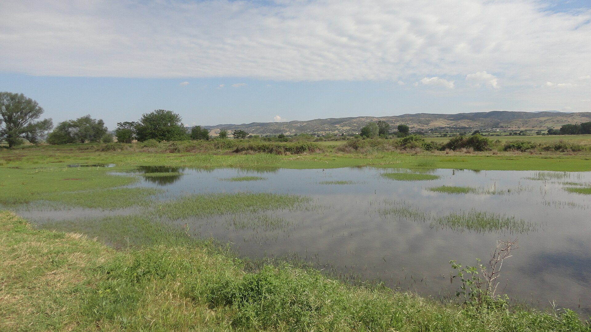
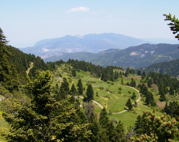
Alonissos National Marine Park is a national park in Greece (Europe). It is a predominantly marine area. Established in 1992, it covers about 226,000 hectares.
Protected as a national park. International labels and designations: Natura 2000 network (2 sites). Key dates: established in 1992, first Natura 2000 site under the Birds Directive in 1997 and first Natura 2000 site under the Habitats Directive in 2011.
Sources: Wikidata (CC0) for establishment and international labels; EEA Natura 2000 database (CC-BY 4.0) for site designation dates.
In Greece (Europe). Representative point: 39.3071° N, 24.1476° E.
About 226,000 hectares (2,260 km²). It is the largest of the 14 national parks in Greece covered by Parkavela. About 213,500 ha are at sea.
In 1992.
A marine area, with coasts.
Natura 2000 network (2 sites).
Best time to visit: from April to June, with average temperatures of 14 to 23 °C and moderate rainfall.
9 monitored bathing sites lie in or within 1 km of the site; official 2025 classification: 9 excellent (European Environment Agency). Swimming is only permitted at the sites and times authorised locally.
Nearest towns of over 50,000 people, as the crow flies: Chalkída (68 km) and Volos (76 km). Nearest airport: Skiathos National Airport "Alexandros Papadiamantis" (JSI), about 27 km away.
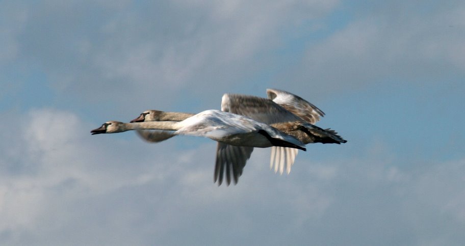
Among the species most often recorded on GBIF are Corvus cornix (Hooded Crow), Larus michahellis (Yellow-legged Gull), Curruca melanocephala (Sardinian Warbler) and Corvus corax (Northern Raven).
© OpenStreetMap
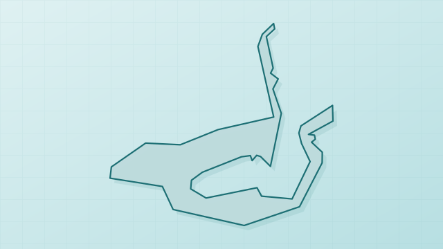
Download the boundary: GeoJSON · GPX Boundary © OpenStreetMap contributors (ODbL).
Over the 1996–2025 period, the mean annual temperature is about 17.8 °C and total precipitation reaches roughly 532 mm per year. The warmest month is usually August, the coolest January, and the wettest November.
● Mean temperature (°C) · ▮ Precipitation (mm)
Source: Copernicus ERA5 (C3S, doi:10.24381/cds.f17050d7), monthly averages 1996–2025 interpolated to the representative point, temperatures adjusted for elevation.
Contains modified Copernicus Climate Change Service information 2026. Neither the European Commission nor ECMWF is responsible for any use that may be made of the Copernicus information or data it contains.
The sea covers about 94% of the site. The seabed reaches about 1,514 m deep (median depth 259 m; GEBCO bathymetry). The 2 Natura 2000 sites overlapping the area list 19 habitats of European interest (3 priority), the most extensive being large shallow inlets and bays, Mediterranean pine forests with endemic Mesogean pines and Sarcopoterium spinosum phryganas.
Based on occurrences aggregated by GBIF, several species are regularly recorded within the site. Among the most frequent are Corvus cornix (Hooded Crow), Larus michahellis (Yellow-legged Gull), Curruca melanocephala (Sardinian Warbler) and Corvus corax (Northern Raven). The full list of documented taxa is shown below. The overlapping Natura 2000 sites list 89 species of European interest: 69 birds, 7 mammals, 11 reptiles and 2 invertebrates.
From the official forms of the 2 Natura 2000 sites overlapping the area (areas reported for each whole site).
and 11 more
Eurasian Skylark (Alauda arvensis) passage, Common Kingfisher (Alcedo atthis) wintering, Tawny Pipit (Anthus campestris) passage, Meadow Pipit (Anthus pratensis) wintering, Water Pipit (Anthus spinoletta) passage, Tree Pipit (Anthus trivialis) passage, Common Swift (Apus apus) breeding, Grey Heron (Ardea cinerea) passage, Eurasian Stone-curlew (Burhinus oedicnemus) passage, Common Buzzard (Buteo buteo) breeding, Greater Short-toed Lark (Calandrella brachydactyla) passage, Little Stint (Calidris minuta) passage and 57 more
Wild Goat (Capra aegagrus), Short-beaked Common Dolphin (Delphinus delphis), Sperm whale (Physeter macrocephalus), Common pipistrelle (Pipistrellus pipistrellus), Striped dolphin (Stenella coeruleoalba), Common bottlenose dolphin (Tursiops truncatus), Cuvier's Beaked Whale (Ziphius cavirostris)
Snake-eyed Skink (Ablepharus kitaibelii), Loggerhead sea turtle (Caretta caretta), Caspian whipsnake (Dolichophis caspius), Four-lined snake (Elaphe quatuorlineata), Balkan green lizard (Lacerta trilineata), Kotschys Gecko (Mediodactylus kotschyi), Erhard's wall lizard (Podarcis erhardii), Common Tortoise (Testudo graeca), Marginated tortoise (Testudo marginata), Nose-horned Viper (Vipera ammodytes), European ratsnake (Zamenis situla)
Centrostephanus longispinus, Fan Mussel (Pinna nobilis)
Source: Natura 2000 standard data forms (EEA, CC-BY 4.0). Not exhaustive: sensitive species are not published.
Bird
147 records © Ricardo Tulio Gandelman from Rio de Janeiro, Brazil · CC BY 2.0


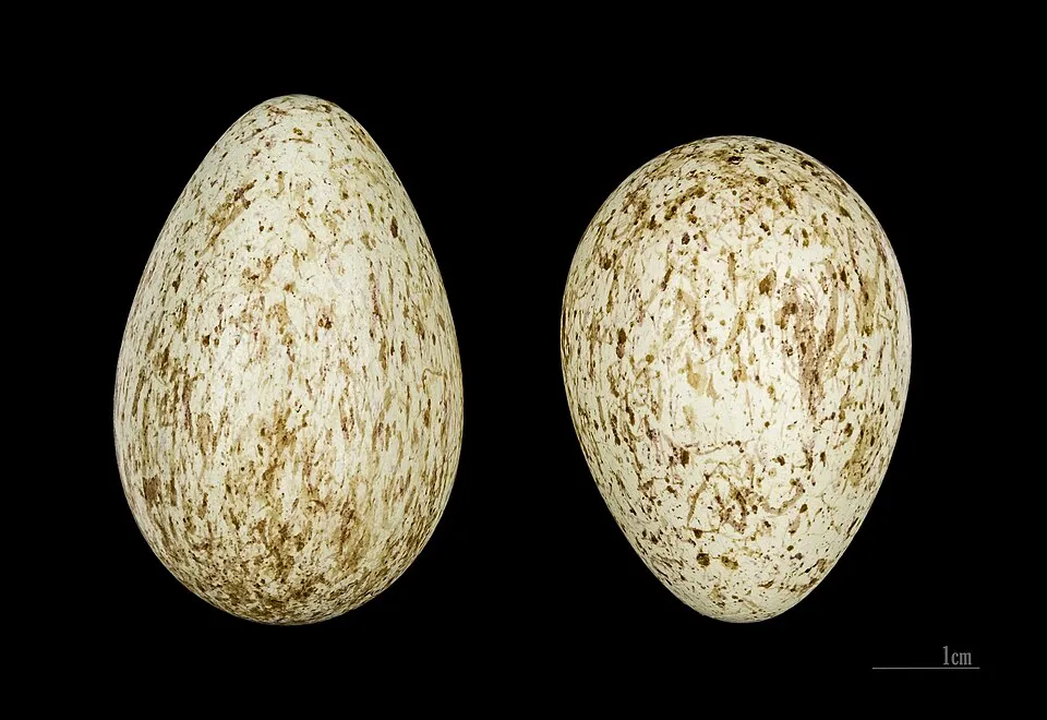


Occurrences documented via GBIF; they are neither an exhaustive inventory nor proof of current presence.
Records: GBIF.org (CC-BY). Names: Wikidata (CC0), GBIF. Photos: Wikimedia Commons.
The primary purpose of the site is to preserve its natural habitats and the biodiversity they support. The species recorded (Biodiversity tab) reflect its ecological value. The designations it holds frame its management and the control of land use.
According to CORINE Land Cover, land cover here remained almost unchanged between 1990 and 2018 (less than 0.5% of the area affected); only some 20 ha were built over. According to the Natura 2000 forms, of 18 assessed habitats of European interest, 11 are in excellent condition and the rest in good condition. According to the Water Framework Directive assessment (2022 river basin management plans, data 2018–2021), water bodies assessed within the site: coastal waters, 1 of 1 in good ecological status or better.
< 1%
buildings, business areas, roads, quarries
< 0.5%
of the area changed, 1990–2018 · CORINE
Coastal waters: 1 of 1 good or better
assessments 2018–2021
2
recorded since 2000
 Caulerpa cylindracea
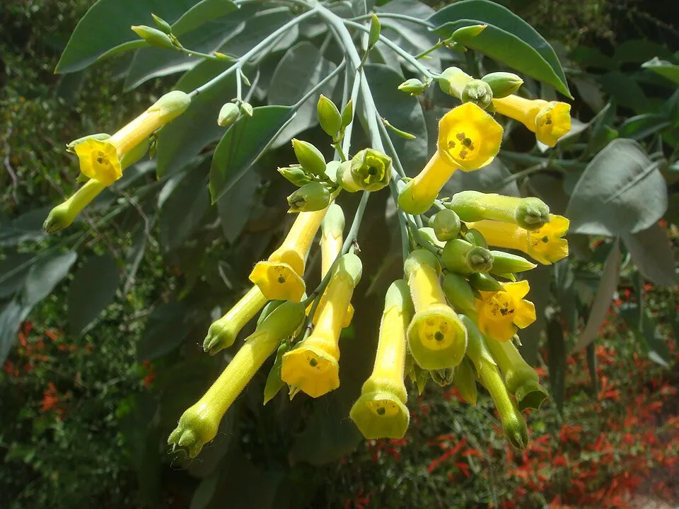 Tree tobacco
Photos: Caulerpa cylindracea © William Henry Harvey (1811–1866) · Public domain; Tree tobacco © Miwasatoshi · CC BY-SA 4.0
Sources: Global Forest Change (Hansen et al., University of Maryland, via Global Forest Watch, CC-BY 4.0); EFFIS, European Commission / Copernicus; NASA Black Marble 2016 (public domain); CORINE Land Cover 2018 (Copernicus) or MODIS.
CORINE Land Cover Change 1990–2018: generated using European Union's Copernicus Land Monitoring Service information (EEA), aggregated by Parkavela; DOI 10.2909/f30f1000-7cf8-43bb-872c-5eb093911b24.
Ecological status of water bodies: European Environment Agency, WISE – Water Framework Directive, 3rd river basin management plans (2022), CC BY 4.0. Official national classification, not comparable between countries.
Invasive alien species: Global Register of Introduced and Invasive Species (ISSG, CC BY 4.0); Union list, Regulation (EU) 1143/2014 (INBO, CC0); GBIF.org records (CC0 / CC BY 4.0), at least 2 per species.
Data © OpenStreetMap contributors (ODbL) · Wikidata (CC0)
9 monitored bathing sites in or within 1 km of the site · 2025 classification
Source: European Environment Agency, official bathing water classification (Directive 2006/7/EC, CC-BY 4.0). Swimming is only permitted at the sites and times authorised locally.
Nearest towns of over 50,000 people, as the crow flies: Chalkída (68 km) and Volos (76 km). Nearest airport: Skiathos National Airport "Alexandros Papadiamantis" (JSI), about 27 km away. Fewer than 5,000 people live within 20 km of the site boundary, a very sparsely populated area (GHSL estimate, 2020). To plan a visit (access, opening periods, visitor rules), it is best to consult the official information from the managing body and the official website listed in this page's sources.
Source: OpenStreetMap (ODbL), Wikidata (CC0), October 2026.
Best time to visit: from April to June, with average temperatures of 14 to 23 °C and moderate rainfall. Precipitation peaks in November and December (up to 90 mm per month). Day length ranges from about 9 h 25 min in December to 14 h 55 min in June. Wildlife records published on GBIF peak for birds (April), plants (April and May) and butterflies and moths (July). These peaks also reflect when observers are most active.
Source: Copernicus ERA5 (C3S), monthly averages 1996–2025 at the representative point, temperatures adjusted for elevation.
Contains modified Copernicus Climate Change Service information 2026. Neither the European Commission nor ECMWF is responsible for any use that may be made of the Copernicus information or data it contains.
Monthly records published on GBIF (CC-BY), relative to the busiest month; also reflects observer activity.
Data © OpenStreetMap contributors (ODbL), Wikidata (CC0) and the sources cited.