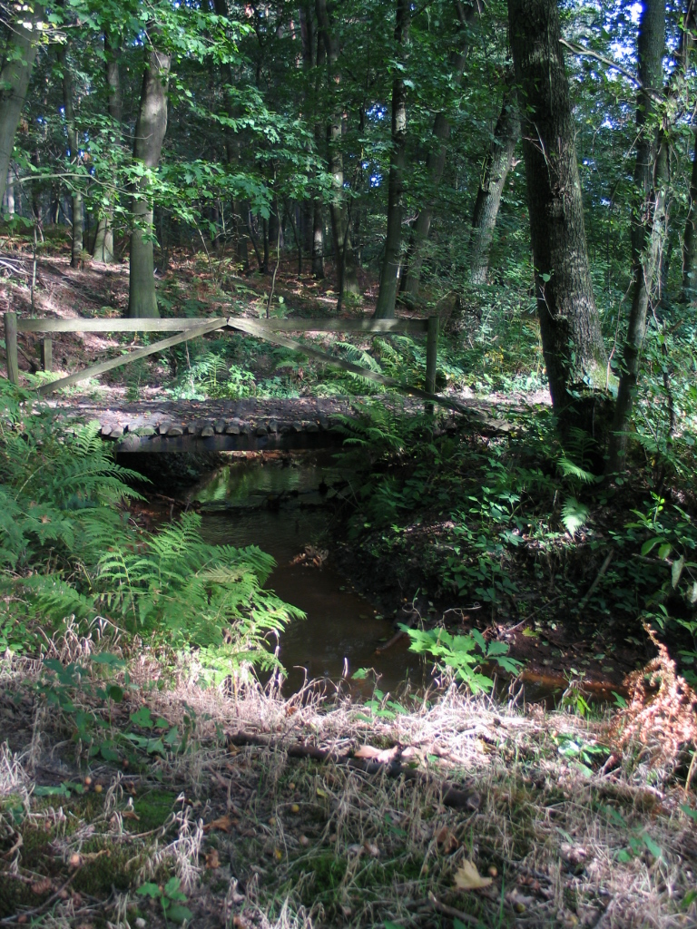

Belgium · Terrestrial
Bosland National Park
National park of 4,679 hectares in Belgium, established in 2023.
Overview
National park of 4,679 hectares in Belgium, established in 2023.
Bosland National Park is located in Belgium (Europe). It is a predominantly terrestrial area. Established on 13 October 2023, it covers about 4,679 hectares. The site is managed by Nationaal Park Bosland.
Protections and designations
Natura 2000 · habitats (SAC)
Protected as a national park. International labels and designations: Natura 2000 network (1 site: “Valleigebied van de Kleine Nete met brongebieden, moerassen en heiden”). Key dates: first Natura 2000 site under the Habitats Directive in 2014 and established in 2023.
In our collections
Timeline
-
2014
First Natura 2000 site under the Habitats Directive
-
2023
Established
Sources: Wikidata (CC0) for establishment and international labels; EEA Natura 2000 database (CC-BY 4.0) for site designation dates.
Frequently asked questions
Where is Bosland National Park?
In Belgium (Europe). Representative point: 51.1861° N, 5.3383° E.
How large is Bosland National Park?
About 4,679 hectares (47 km²). It is the 5th largest of the 5 national parks in Belgium covered by Parkavela.
When was Bosland National Park established?
On 13 October 2023.
What habitats and landscapes does Bosland National Park include?
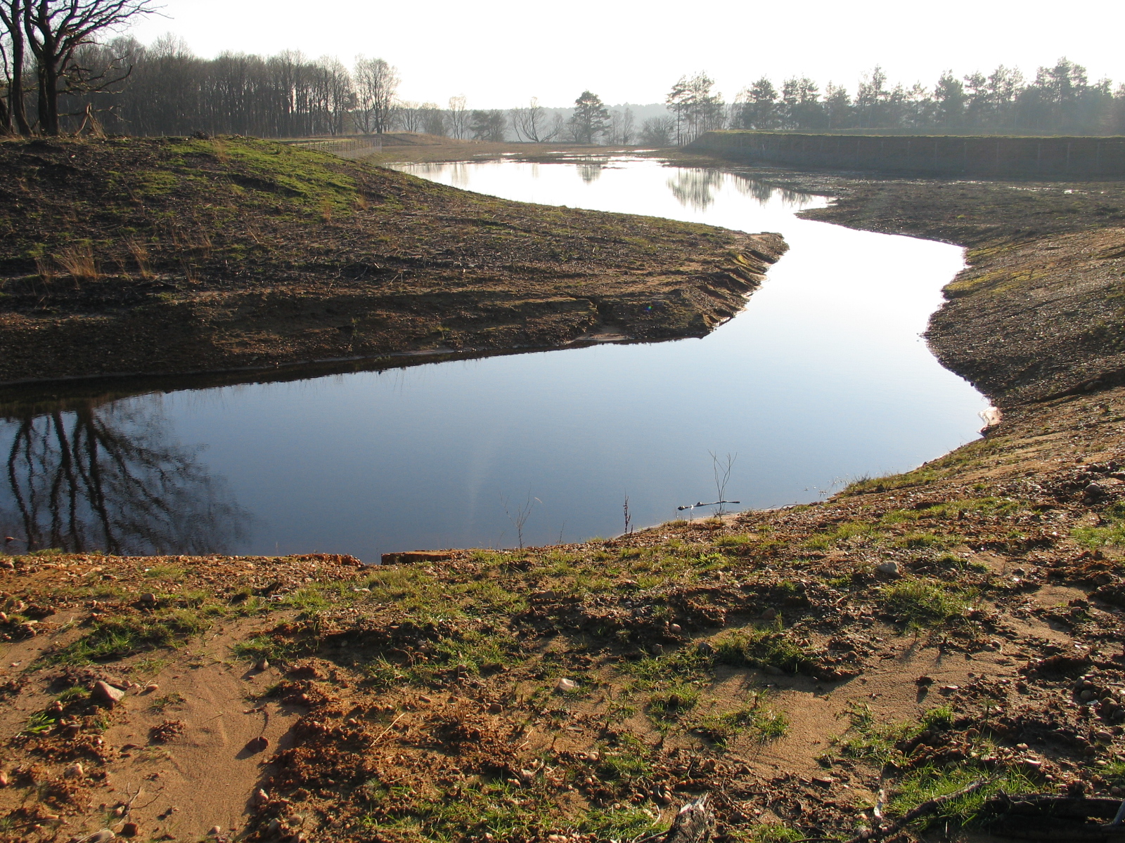
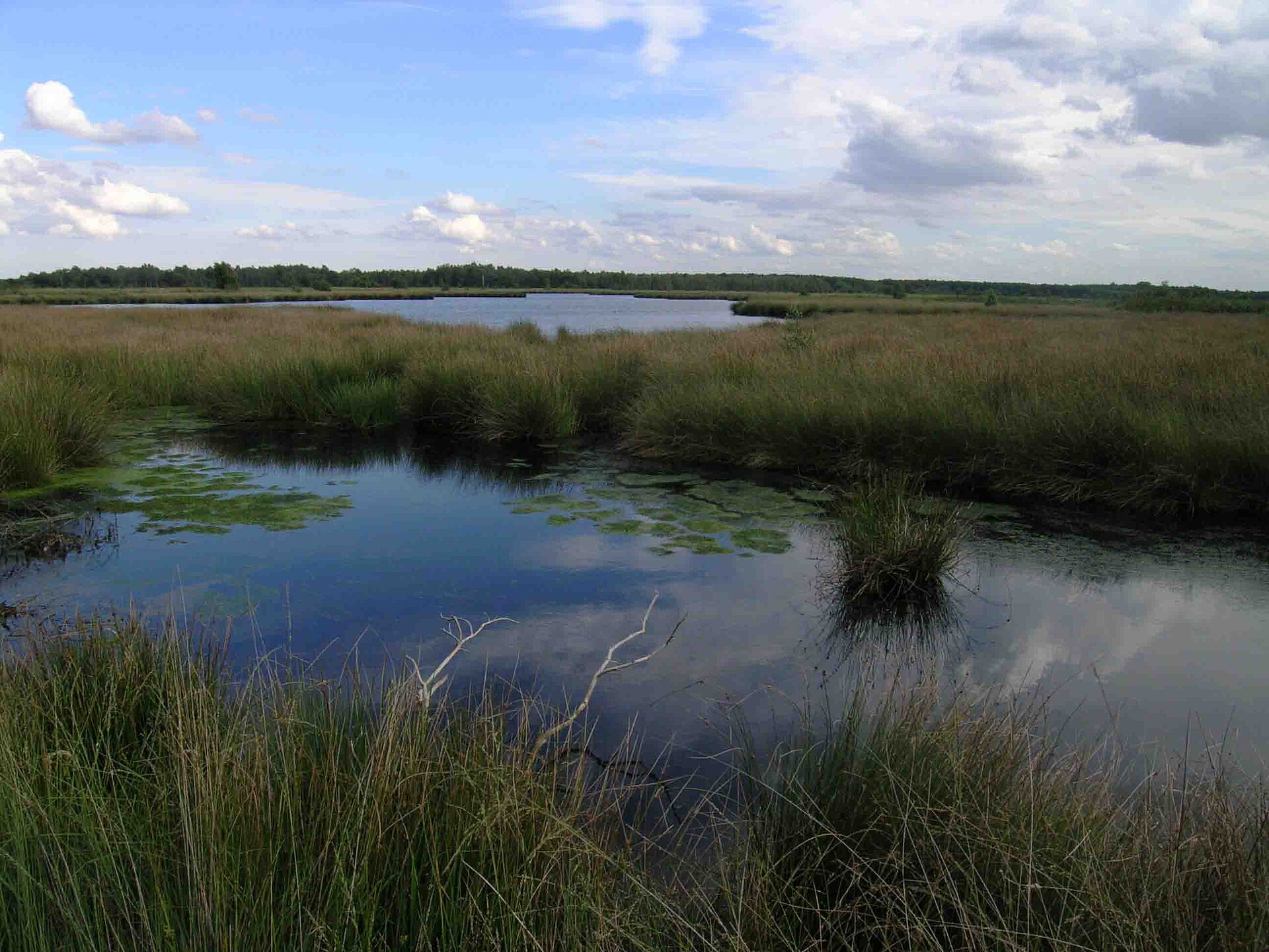
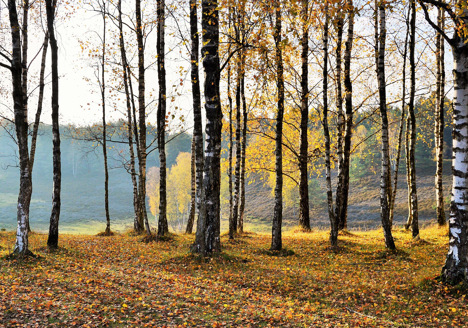
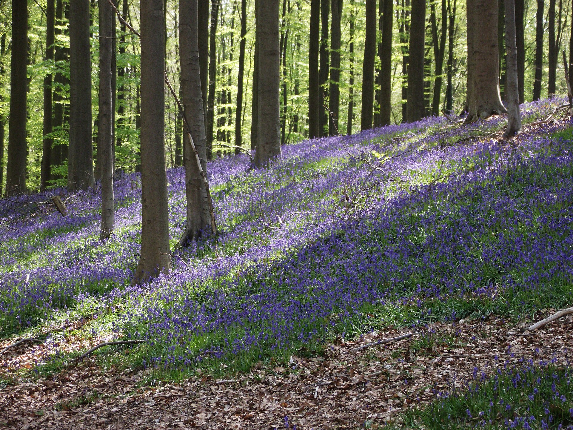
A terrestrial area, with forests.
What rocks lie beneath Bosland National Park?
According to the European 1:1 million geological map (EGDI), the bedrock consists mainly of sands and gravels (100% of sampled points). These are mostly sedimentary rocks. The geological units date mainly from the Neogene (100% of sampled points).
Which international labels apply to Bosland National Park?
Natura 2000 network (1 site: “Valleigebied van de Kleine Nete met brongebieden, moerassen en heiden”).
When is the best time to visit Bosland National Park?
Best time to visit: from May to October, with average temperatures of 11 to 19 °C and moderate rainfall.
Are there historic monuments in Bosland National Park?
Yes. According to Wikidata, 2 monuments listed as protected heritage in Wallonia or Flanders stand within the boundary. For example: “Lommel German war cemetery” in Lommel and “Leyssensmolen” in Lommel.
Can you swim in Bosland National Park?
2 monitored bathing sites lie in or within 1 km of the site; official 2025 classification: 2 excellent (European Environment Agency). Swimming is only permitted at the sites and times authorised locally.
What is the nearest large city to Bosland National Park?
Nearest towns of over 50,000 people, as the crow flies: Hasselt (19 km) and Eindhoven (20 km). Nearest airport: Eindhoven (EIN), about 19 km away.
How can I reach Bosland National Park by train?
The nearest railway station is Lommel, less than 1 km from the site boundary.
Where can I get visitor information on site?
Bezoekerscentrum Hageven, Vrijetijdsloket/Tourisme Info and Toerisme info.
Are there waymarked hiking trails in Bosland National Park?
Yes. Waymarked hiking routes listed in OpenStreetMap: 43, including GR 561, GR 564 (164 km) and Mol-Om. The GR 564 route runs for about 11 km through the site.
Which species can be seen in Bosland National Park?
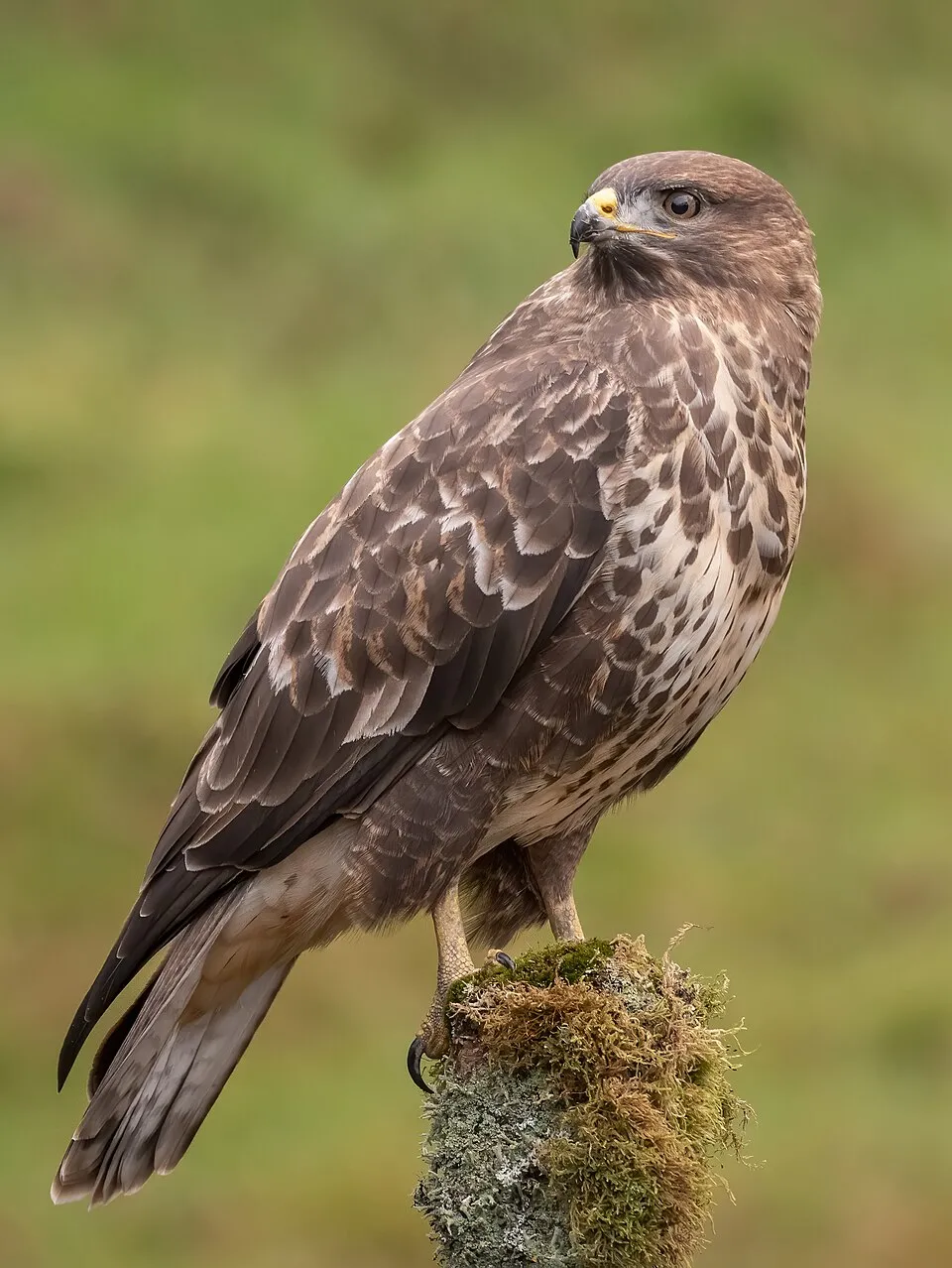
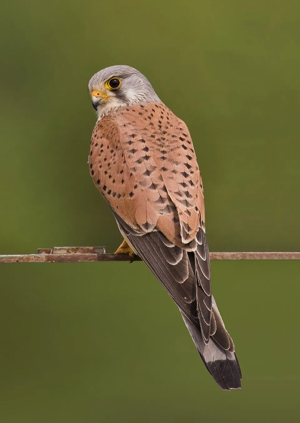
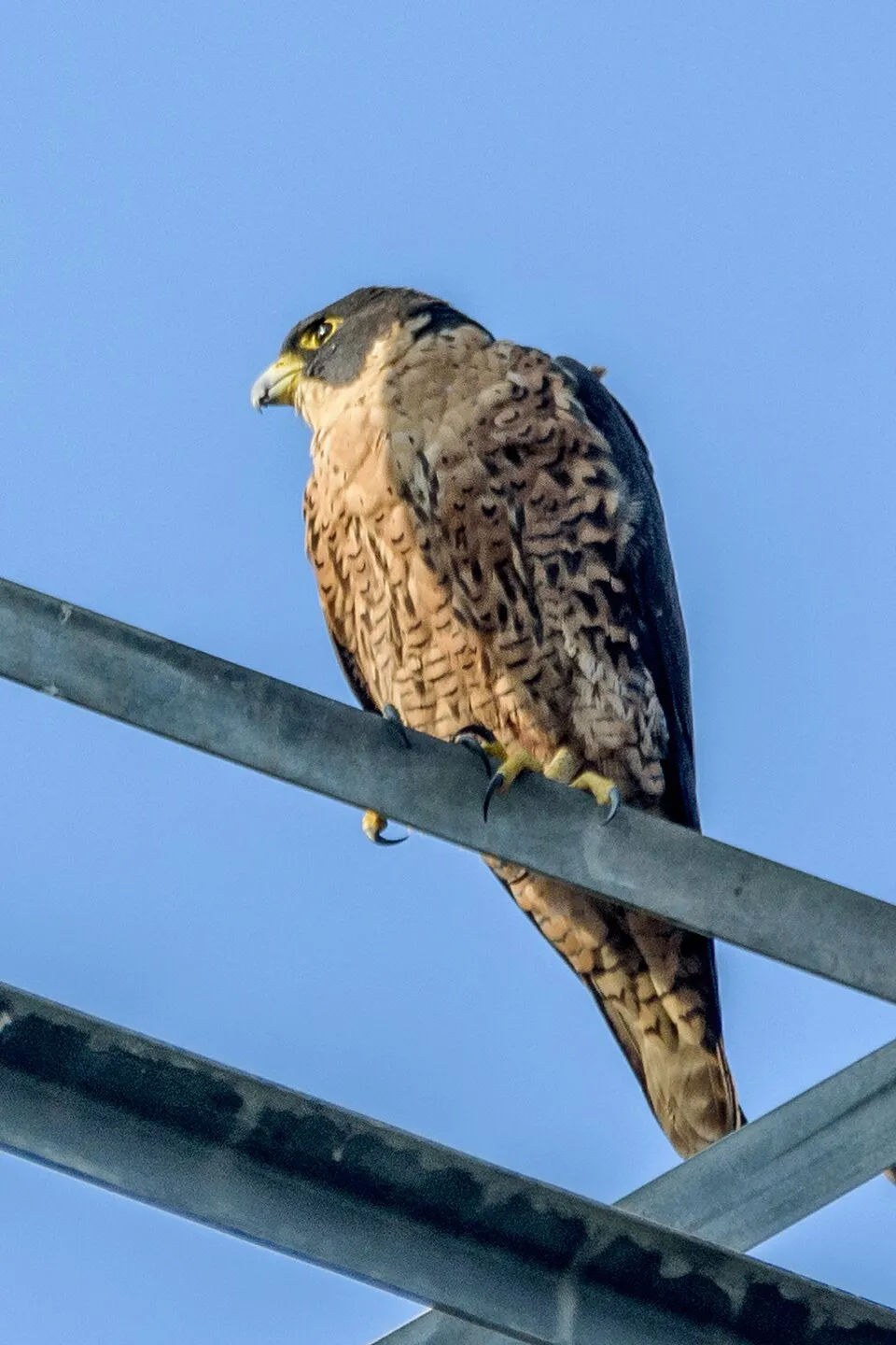
Among the species most often recorded on GBIF are Fringilla coelebs (Eurasian Chaffinch), Buteo buteo (Common Buzzard), Falco tinnunculus (Common Kestrel) and Falco peregrinus (Peregrine Falcon).
Who manages Bosland National Park?
Nationaal Park Bosland.
© OpenStreetMap
Download the boundary: GeoJSON · GPX Boundary © OpenStreetMap contributors (ODbL).
Geography
The representative point of the site lies at around 60 m above sea level. Over the 1996–2025 period, the mean annual temperature is about 10.9 °C and total precipitation reaches roughly 853 mm per year. The warmest month is usually July, the coolest January, and the wettest July. According to the European 1:1 million geological map (EGDI), the bedrock consists mainly of sands and gravels (100% of sampled points). These are mostly sedimentary rocks. The geological units date mainly from the Neogene (100% of sampled points). The site contains 2 lakes larger than 10 ha, totalling 53 ha of water (HydroLAKES).
Area
- Area
- 4,679 ha
- Elevation
- 60 m
- Lakes over 10 ha
- 2 (53 ha)
- Coordinates
- 51.1861, 5.3383
Lakes: HydroLAKES (Messager et al. 2016, hydrosheds.org, CC BY 4.0) · depths: Wikidata (CC0)
Bedrock
- Sands and gravels 100 %
Sedimentary rocks 100 % · Main age: Neogene (100%)
Source: EGDI 1:1M geological map (EuroGeoSurveys and national geological surveys), CC BY 4.0 · 16 sampled points within the site.
Climate
● Mean temperature (°C) · ▮ Precipitation (mm)
Source: Copernicus ERA5-Land (C3S, doi:10.24381/cds.68d2bb30), monthly averages 1996–2025 interpolated to the representative point, temperatures adjusted for elevation.
Contains modified Copernicus Climate Change Service information 2026. Neither the European Commission nor ECMWF is responsible for any use that may be made of the Copernicus information or data it contains.
Natural habitats
According to CORINE Land Cover (2018), the site is mainly made up of forests (71%), farmland (13%) and built-up or developed land (7%). Woodland is mostly coniferous. The land is almost flat (mean slope under 2°). The Natura 2000 site overlapping the area lists 21 habitats of European interest (3 priority), the most extensive being alluvial forests with Alnus glutinosa and Fraxinus excelsior (Alno-Padion, Alnion incanae, Salicion albae), old acidophilous oak woods with Quercus robur on sandy plains and northern Atlantic wet heaths with Erica tetralix.
Biodiversity
Based on occurrences aggregated by GBIF, several species are regularly recorded within the site. Among the most frequent are Fringilla coelebs (Eurasian Chaffinch), Buteo buteo (Common Buzzard), Falco tinnunculus (Common Kestrel) and Falco peregrinus (Peregrine Falcon). The full list of documented taxa is shown below. The overlapping Natura 2000 site lists 23 species of European interest: 10 mammals, 1 reptile, 3 amphibians, 5 fish, 2 invertebrates and 2 plants.
Habitats of European interest
From the official form of the Natura 2000 site overlapping the area (areas reported for the whole site).
- Alluvial forests with Alnus glutinosa and Fraxinus excelsior (Alno-Padion, Alnion incanae, Salicion albae) priority 212 ha
- Old acidophilous oak woods with Quercus robur on sandy plains 126 ha
- Northern Atlantic wet heaths with Erica tetralix 97 ha
- Inland dunes with open Corynephorus and Agrostis grasslands 67 ha
- Atlantic acidophilous beech forests with Ilex and sometimes also Taxus in the shrublayer (Quercion robori-petraeae or Ilici-Fagenion) 51 ha
- Natural eutrophic lakes with Magnopotamion or Hydrocharition-type vegetation 46 ha
- Dry sand heaths with Calluna and Genista 42 ha
- Oligotrophic to mesotrophic standing waters with vegetation of the Littorelletea uniflorae and/or of the Isoëto-Nanojuncetea 32 ha
and 13 more
Species of European interest
Mammals · 10
Serotine bat (Eptesicus serotinus), Daubenton's bat (Myotis daubentonii), Geoffroy's bat (Myotis emarginatus), Whiskered bat (Myotis mystacinus), Natterer's bat (Myotis nattereri), Common noctule (Nyctalus noctula), Nathusius's pipistrelle (Pipistrellus nathusii), Common pipistrelle (Pipistrellus pipistrellus), Brown long-eared bat (Plecotus auritus), Grey long-eared bat (Plecotus austriacus)
Reptiles · 1
Amphibians · 3
Natterjack toad (Epidalea calamita), Moor frog (Rana arvalis), Pool frog (Rana lessonae)
Fish · 5
Spined loach (Cobitis taenia), European bullhead (Cottus gobio), European river lamprey (Lampetra fluviatilis), European brook lamprey (Lampetra planeri), European bitterling (Rhodeus amarus)
Invertebrates · 2
Jersey Tiger (Euplagia quadripunctaria), Yellow-spotted Whiteface (Leucorrhinia pectoralis)
Source: Natura 2000 standard data forms (EEA, CC-BY 4.0). Not exhaustive: sensitive species are not published.
Species to look out for


Observed species
Occurrences documented via GBIF; they are neither an exhaustive inventory nor proof of current presence.
- Eurasian Chaffinch · Fringilla coelebs · 1963
- Common Buzzard · Buteo buteo · 1934
- Common Kestrel · Falco tinnunculus · 1530
- Peregrine Falcon · Falco peregrinus · 1492
- European perch · Perca fluviatilis · 1347
- Eurasian Sparrowhawk · Accipiter nisus · 1289
- Woodlark · Lullula arborea · 1253
- Tree Pipit · Anthus trivialis · 1174
- Common Wood Pigeon · Columba palumbus · 1132
- Great Cormorant · Phalacrocorax carbo · 1116
- Eurasian Skylark · Alauda arvensis · 1112
- Western Marsh Harrier · Circus aeruginosus · 1108
+18 more species
- Mallard · Anas platyrhynchos · 1105
- European robin · Erithacus rubecula · 1064
- Grayling · Hipparchia semele · 1000
- European Stonechat · Saxicola rubicola · 949
- Bilberry · Vaccinium myrtillus · 948
- Northern Wheatear · Oenanthe oenanthe · 939
- Meadow Pipit · Anthus pratensis · 924
- Roach · Rutilus rutilus · 922
- Great Egret · Ardea alba · 908
- Grey Heron · Ardea cinerea · 880
- Black-headed Gull · Chroicocephalus ridibundus · 869
- Great tit · Parus major · 844
- Common Chiffchaff · Phylloscopus collybita · 817
- Yellowhammer · Emberiza citrinella · 813
- White Wagtail · Motacilla alba · 800
- Barn Swallow · Hirundo rustica · 794
- Lesser Black-backed Gull · Larus fuscus · 777
- Common Blackbird · Turdus merula · 757
Records: GBIF.org (CC-BY). Names: Wikidata (CC0), GBIF. Photos: Wikimedia Commons.
Conservation challenges
The primary purpose of the site is to preserve its natural habitats and the biodiversity they support. The species recorded (Biodiversity tab) reflect its ecological value. The designations it holds frame its management and the control of land use.
According to Global Forest Change data (University of Maryland, Global Forest Watch), about 429 ha of tree cover were lost within the boundary between 2001 and 2023 (9% of its area), peaking in 2009 and 2010. These losses include logging, storms and fires, and do not account for regrowth. According to the European CORINE Land Cover inventory (Copernicus), land cover changed on about 218 ha of the site between 1990 and 2018 (5% of its area): forest grew by 188 ha, mostly at the expense of open natural land, while open natural land shrank by 182 ha, mostly giving way to forest. Forest felling and regrowth add about 170 ha in total over the period. At night, 39% of the area gives off artificial light detectable from space (NASA VIIRS Black Marble composite, 2016). Built-up and developed land (buildings, business areas, roads, quarries) covers 7% of the area, and farmland 13% (CORINE Land Cover). According to the Natura 2000 forms, of 21 assessed habitats of European interest, 4 are in excellent condition and 1 in average or reduced condition. According to the Water Framework Directive assessment (2022 river basin management plans, data 2013–2018), none of the 15 km of rivers assessed within the site reaches good ecological potential; they mostly have moderate ecological potential. Since 2000, 47 invasive alien species have been recorded within the site (GBIF observations), 10 of them listed as of Union concern under EU Regulation 1143/2014. Among them: Alopochen aegyptiaca (Egyptian Goose), Ondatra zibethicus (Muskrat) and Impatiens glandulifera (Himalayan Balsam).
Pressure indicators
Tree cover lost
429 ha
2001–2023 · 9% of the area
20012023
Fires since 2016
0
No large fire mapped (fires over about 30 ha)
Light at night
39%
of the area gives off artificial light visible from space
DarkLit
Built-up land
7%
buildings, business areas, roads, quarries · farmland 13%
Land cover change
218 ha
changed cover, 1990–2018 · CORINE · 5% of the area
- +188 ha · forest
- −182 ha · open natural land
forest felling and regrowth: 170 ha in total
Rivers and lakes
0%
of the 15 km of assessed rivers at good or high ecological potential (mostly heavily modified water bodies) · WFD 2022
assessments 2013–2018
Invasive alien species
47
incl. 10 of EU concern · since 2000
 Egyptian GooseEU
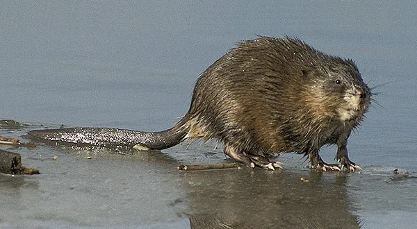 MuskratEU
 Himalayan BalsamEU
 PumpkinseedEU
 Japanese KnotweedEU
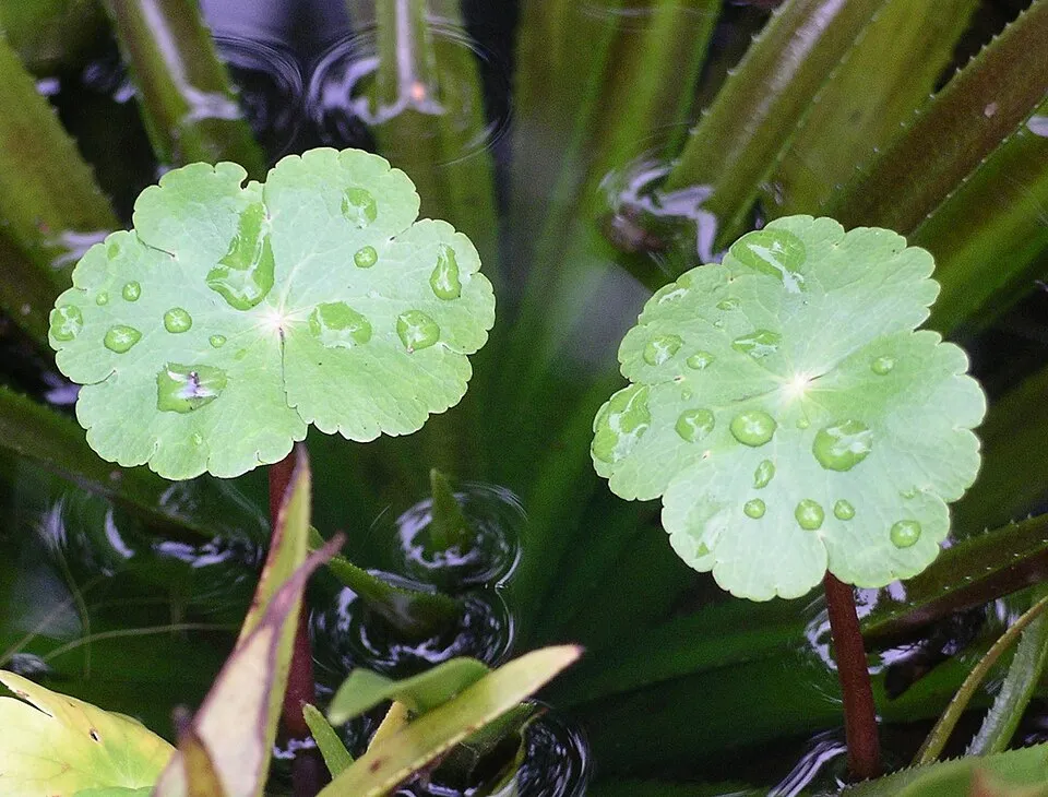 Floating marshpennywortEU
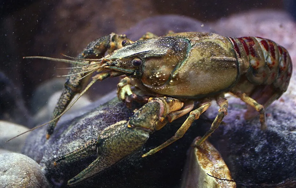 Spinycheek crayfishEU
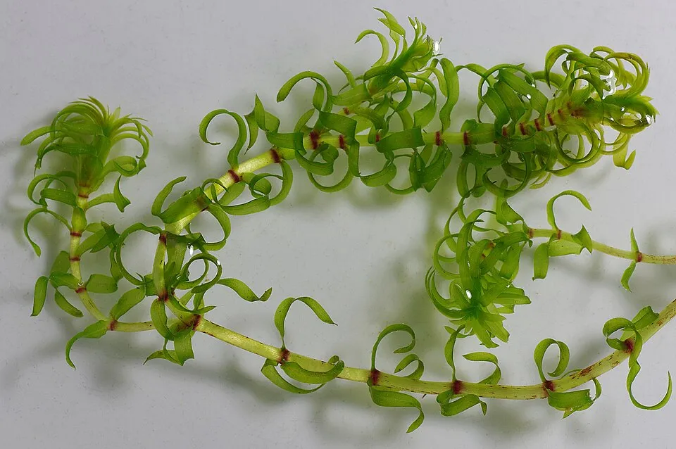 Western waterweedEU
Photos: Egyptian Goose © Rhododendrites · CC BY-SA 4.0; Muskrat © David Menke · Public domain; Himalayan Balsam © Guptaele · CC BY-SA 4.0; Pumpkinseed © Cephas · CC BY-SA 3.0; Japanese Knotweed © W.carter · CC0-1.0; Floating marshpennywort © Velela · Public domain; Spinycheek crayfish © Astacoides · CC BY-SA 3.0; Western waterweed © Christian Fischer · CC BY-SA 3.0
Sources: Global Forest Change (Hansen et al., University of Maryland, via Global Forest Watch, CC-BY 4.0); EFFIS, European Commission / Copernicus; NASA Black Marble 2016 (public domain); CORINE Land Cover 2018 (Copernicus) or MODIS.
CORINE Land Cover Change 1990–2018: generated using European Union's Copernicus Land Monitoring Service information (EEA), aggregated by Parkavela; DOI 10.2909/f30f1000-7cf8-43bb-872c-5eb093911b24.
Ecological status of water bodies: European Environment Agency, WISE – Water Framework Directive, 3rd river basin management plans (2022), CC BY 4.0. Official national classification, not comparable between countries.
Invasive alien species: Global Register of Introduced and Invasive Species (ISSG, CC BY 4.0); Union list, Regulation (EU) 1143/2014 (INBO, CC0); GBIF.org records (CC0 / CC BY 4.0), at least 2 per species.
Practical information
Cities and airport
- Hasselt
19 km as the crow flies - Eindhoven
20 km as the crow flies - Airport: Eindhoven (EIN)
19 km as the crow flies
Visitor information
- Bezoekerscentrum Hageven
3 km from the site boundary - Vrijetijdsloket/Tourisme Info
< 1 km from the site boundary - Toerisme info
1 km from the site boundary - Visit Lommel
2 km from the site boundary
Parking
20 public car parks listed within the site
P1 BegijnenstraatParking De Lossing
Hiking
43 waymarked routes listed, including:
GR 561GR 564 (164 km)Mol-Om
By bike
VL Vlaanderenroute · 9 kmKempenroute · 9 km
Signed cycle routes: this does not mean that cycling is allowed on footpaths.
Data © OpenStreetMap contributors (ODbL) · Wikidata (CC0)
Routes © OpenStreetMap contributors (ODbL), via Waymarked Trails
Waymarked hiking routes
Tracks © OpenStreetMap contributors (ODbL), clipped to the boundary; elevation gain and profiles computed on the longest section from Mapzen Terrain Tiles (≈ 30 m), indicative only.
Bathing
2 monitored bathing sites in or within 1 km of the site · 2025 classification
Excellent · 2
- Lommel Barefoot Beach · lake · Excellent
- Lommel Blauwe Meer · lake · Excellent
Source: European Environment Agency, official bathing water classification (Directive 2006/7/EC, CC-BY 4.0). Swimming is only permitted at the sites and times authorised locally.
Access and visiting
The nearest railway station is Lommel, less than 1 km from the site boundary. Nearest towns of over 50,000 people, as the crow flies: Hasselt (19 km) and Eindhoven (20 km). Nearest airport: Eindhoven (EIN), about 19 km away. About 980,000 people live within 20 km of the site boundary, 310,000 of them within 10 km; some 4,500 people are estimated to live inside (GHSL estimate, 2020). This population has grown by about 14% since 2000. Visitor information on site: Bezoekerscentrum Hageven, Vrijetijdsloket/Tourisme Info and Toerisme info. Public car parks listed within the site: 20, including P1 Begijnenstraat and Parking De Lossing. Waymarked hiking routes listed in OpenStreetMap: 43, including GR 561, GR 564 (164 km) and Mol-Om. The site is crossed by 2 signed cycle routes: “VL Vlaanderenroute” and “Kempenroute” (OpenStreetMap). To plan a visit (access, opening periods, visitor rules), it is best to consult the official information from the managing body (Nationaal Park Bosland) and the official website listed in this page's sources.
Source: OpenStreetMap (ODbL), Wikidata (CC0), October 2026.
Built heritage
According to Wikidata, 2 monuments listed as protected heritage in Wallonia or Flanders stand within the boundary. Examples include “Lommel German war cemetery” in Lommel and “Leyssensmolen” in Lommel.
1 religious building1 bridge, lighthouse, mill or working building
-
Lommel German war cemetery
Lommel · 20th c. -
Leyssensmolen
Lommel · 18th c.
Source: Wikidata (CC0), monuments in each country’s official heritage protection registers, at national or regional level. Each item links to its Wikidata entry.
When to visit
Best time to visit: from May to October, with average temperatures of 11 to 19 °C and moderate rainfall. Day length ranges from about 7 h 54 min in December to 16 h 33 min in June. Wildlife records published on GBIF peak for birds (April and May), plants (August), butterflies and moths (July and August), dragonflies (from June to August) and mammals (from March to May). These peaks also reflect when observers are most active.
Source: Copernicus ERA5-Land (C3S), monthly averages 1996–2025 at the representative point, temperatures adjusted for elevation.
Contains modified Copernicus Climate Change Service information 2026. Neither the European Commission nor ECMWF is responsible for any use that may be made of the Copernicus information or data it contains.
Wildlife records calendar
JFMAMJJASOND
Birds
Plants
Butterflies & moths
Dragonflies
Mammals
Monthly records published on GBIF (CC-BY), relative to the busiest month; also reflects observer activity.
Gallery
© Paul Hermans · CC BY-SA 3.0
© Sally V · CC BY-SA 4.0
© Paul Hermans · CC BY-SA 4.0
© Earth Science and Remote Sensing Unit, Lyndon B. Johnson Space Center · Public domain
© Earth Science and Remote Sensing Unit, Lyndon B. Johnson Space Center · Public domain
© Earth Science and Remote Sensing Unit, NASA Johnson Space Center · Public domain
Sources and licences
- Wikidata: Q4407392
- OpenStreetMap: relation 16667001
- Wikipedia: fr.wikipedia.org/wiki/Parc_national_du_Bosland
References
- cds.climate.copernicus.eu: climate · CC-BY-4.0
- registry.opendata.aws: elevation of the reference point, detailed relief · PD
- land.copernicus.eu: land cover, land cover change, sea share · COPERNICUS
- doi.org: population around the site · CC-BY-4.0
- wikidata.org: official area, establishment date, protected heritage, managing body, nearby cities and airport, access and peaks, lake depths, places to see · CC0-1.0
- eea.europa.eu: bathing water quality, ecological status of waters · CC-BY-4.0
- en.eurovelo.com: EuroVelo cycle routes · ODbL-1.0
- cycling.waymarkedtrails.org: cycle routes · ODbL-1.0
- opentopodata.org: elevations · PD
- forest-fire.emergency.copernicus.eu: wildfires · COPERNICUS
- globalforestwatch.org: tree cover loss · CC-BY-4.0
- gbif.org: seasonality of sightings, invasive alien species, observed species · CC-BY-4.0
- europe-geology.eu: geology · CC-BY-4.0
- hydrosheds.org: lakes · CC-BY-4.0
- natura2000.eea.europa.eu: Natura 2000 habitats and species · CC-BY-4.0
- openstreetmap.org: official name, access and peaks, trail difficulty, wheelchair access · ODbL-1.0
- earthobservatory.nasa.gov: night light · PD
- hiking.waymarkedtrails.org: route difficulty · ODbL-1.0
- nsidc.org: snow cover · PD
- wikidata.org: Wikipedia article · CC-BY-SA-4.0
Data © OpenStreetMap contributors (ODbL), Wikidata (CC0) and the sources cited.