
Spain · Terrestrial
Garraf Natural Park
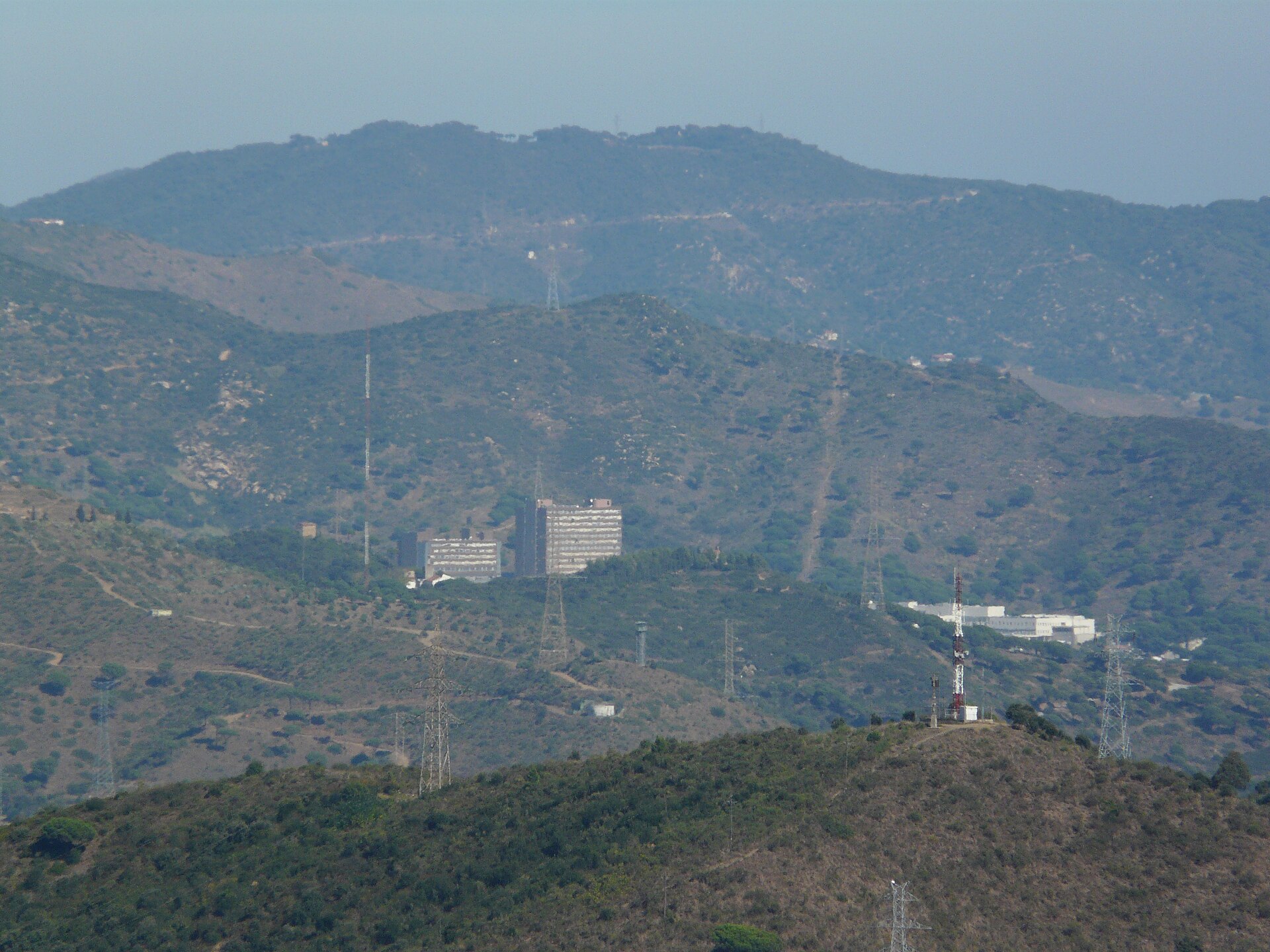
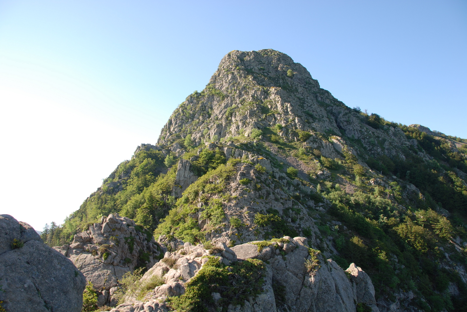
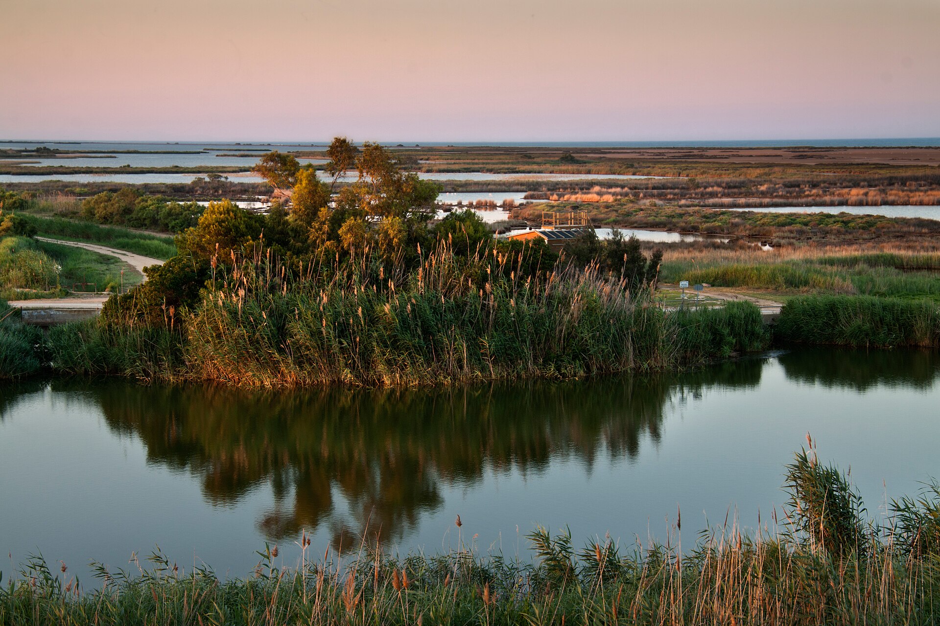
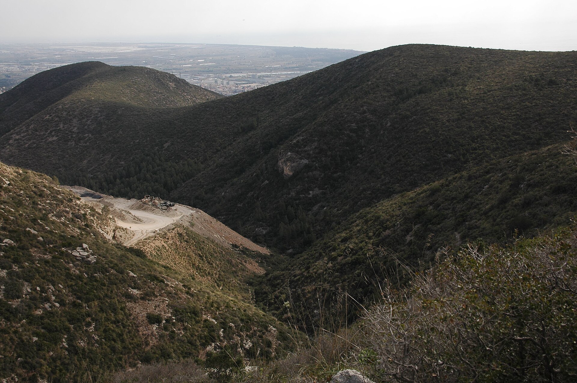
Nature park of 12,377 hectares in Spain, established in 1988.
Overview
Nature park of 12,377 hectares in Spain, established in 1988.
Garraf Natural Park is a nature park in Spain (Europe). It is a predominantly terrestrial area. Established in 1988, it covers about 12,377 hectares. The site is managed by Provincial Deputation of Barcelona.
Protections and designations
Natura 2000 · habitats (SAC)
- Serres del Litoral central ES5110013
Natura 2000 · birds (SPA)
- Serres del Litoral central ES5110013
Protected as a nature park. International labels and designations: Natura 2000 network (1 site: “Serres del Litoral central”). Key dates: established in 1988, first Natura 2000 site under the Birds Directive in 2005 and first Natura 2000 site under the Habitats Directive in 2014.
In our collections
Timeline
-
1988
Established
-
2005
First Natura 2000 site under the Birds Directive
-
2014
First Natura 2000 site under the Habitats Directive
Sources: Wikidata (CC0) for establishment and international labels; EEA Natura 2000 database (CC-BY 4.0) for site designation dates.
Frequently asked questions
Where is Garraf Natural Park?
In Spain (Europe). Representative point: 41.2914° N, 1.8750° E.
How large is Garraf Natural Park?
About 12,377 hectares (124 km²). It is the 37th largest of the 73 nature parks in Spain covered by Parkavela.
When was Garraf Natural Park established?
In 1988.
What habitats and landscapes does Garraf Natural Park include?
A terrestrial area, where land cover is dominated by Mediterranean scrub (66%).
What rocks lie beneath Garraf Natural Park?
According to the European 1:1 million geological map (EGDI), the bedrock consists mainly of marly limestones (73% of sampled points). These are mostly sedimentary rocks. The geological units date mainly from the Cretaceous (73% of sampled points).
What is the highest point of Garraf Natural Park?
la Morella, at 594 m (OpenStreetMap).
What are the main summits of Garraf Natural Park?
La Morella (594 m), Puig Ginebró (593 m), el Rascler (574 m), la Bena (555 m) and Puig de les Agulles (552 m) (OpenStreetMap).
Which international labels apply to Garraf Natural Park?
Natura 2000 network (1 site: “Serres del Litoral central”).
When is the best time to visit Garraf Natural Park?
Best time to visit: from April to August, with average temperatures of 12 to 23 °C and moderate rainfall.
What is there to see in Garraf Natural Park?
27 caves, including Forats d'en Bori, Cova Fumada, Cova Negra and Cova d'en Quadres (Wikidata).
Are there historic monuments in Garraf Natural Park?
Yes. According to Wikidata, 8 monuments listed as Bien de Interés Cultural stand within the boundary. For example: “Caseria de Santa Susanna” in Avinyonet del Penedés, “Castell de Campdàsens” in Sitges and “Castell d'Eramprunyà” in Gavá.
Can you swim in Garraf Natural Park?
2 monitored bathing sites lie in or within 1 km of the site; official 2025 classification: 2 excellent (European Environment Agency). Swimming is only permitted at the sites and times authorised locally.
What is the nearest large city to Garraf Natural Park?
Nearest towns of over 50,000 people, as the crow flies: Vilanova i la Geltrú (4 km) and L'Hospitalet de Llobregat (12 km). Nearest airport: Josep Tarradellas Airport Barcelona-El Prat (BCN), about 9 km away.
How can I reach Garraf Natural Park by train?
The nearest railway station is Garraf, less than 1 km from the site boundary.
Where can I get visitor information on site?
La Pleta, La Sala and Oficina de Turisme de Sant Pere de Ribes.
Are there waymarked hiking trails in Garraf Natural Park?
Yes. Waymarked hiking routes listed in OpenStreetMap: 15, including GR 5 (201 km), GR 92 (23 km), El Camí and Camí Ramader de Marina. The GR 92.4 · Variant: Pla de Querol - Camí del Mas de l'Artís route runs for about 14 km through the site, with some 80 m of ascent on its longest section.
Which species can be seen in Garraf Natural Park?
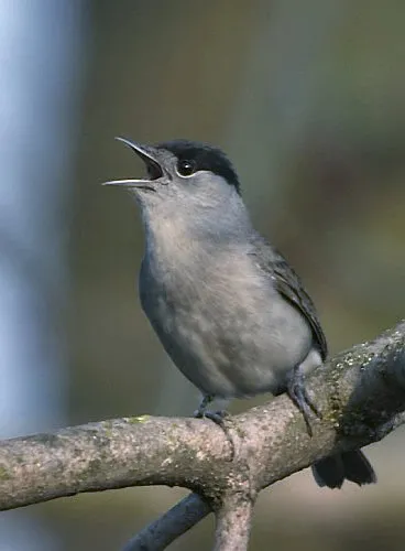
Among the species most often recorded on GBIF are Erithacus rubecula (European robin), Sylvia atricapilla (Eurasian Blackcap), Turdus merula (Common Blackbird) and Curruca melanocephala (Sardinian Warbler).
Who manages Garraf Natural Park?
Provincial Deputation of Barcelona.
What is the official website of Garraf Natural Park?
© OpenStreetMap
Download the boundary: GeoJSON · GPX Boundary © OpenStreetMap contributors (ODbL).
Geography
The representative point of the site lies at around 324 m above sea level. Over the 1996–2025 period, the mean annual temperature is about 14.5 °C and total precipitation reaches roughly 642 mm per year. The warmest month is usually August, the coolest January, and the wettest October. According to the European 1:1 million geological map (EGDI), the bedrock consists mainly of marly limestones (73% of sampled points). These are mostly sedimentary rocks. The geological units date mainly from the Cretaceous (73% of sampled points).
Area
- Area
- 12,377 ha
- Elevation
- 324 m
- Median elevation
- 270 m
- Mean slope
- 13°
- Coordinates
- 41.2914, 1.875
Terrain: Mapzen Terrain Tiles (SRTM, USGS)
Bedrock
- Marly limestones 73 %
- Sands and gravels 7 %
- Dolomites 7 %
- Mudstones 7 %
- Conglomerates and breccias 7 %
Sedimentary rocks 100 % · Main age: Cretaceous (73%)
Source: EGDI 1:1M geological map (EuroGeoSurveys and national geological surveys), CC BY 4.0 · 15 sampled points within the site.
Main summits
- la Morella594 m
- Puig Ginebró593 m
- el Rascler574 m
- la Bena555 m
- Puig de les Agulles552 m
- Puig de la Mola534 m
- Pic de l'Àliga534 m
- les Solius533 m
- Penya Blanca523 m
- Puig de l'Astor520 m
Data © OpenStreetMap contributors (ODbL)
Climate
● Mean temperature (°C) · ▮ Precipitation (mm)
Source: Copernicus ERA5-Land (C3S, doi:10.24381/cds.68d2bb30), monthly averages 1996–2025 interpolated to the representative point, temperatures adjusted for elevation.
Contains modified Copernicus Climate Change Service information 2026. Neither the European Commission nor ECMWF is responsible for any use that may be made of the Copernicus information or data it contains.
Natural habitats
According to CORINE Land Cover (2018), the site is mainly made up of Mediterranean scrub (66%) and forests (25%). Woodland is mostly coniferous. Elevation ranges from about 80 m to 594 m (highest point: la Morella). The Natura 2000 site overlapping the area lists 20 habitats of European interest (2 priority), the most extensive being Mediterranean pine forests with endemic Mesogean pines, Thermo-Mediterranean and pre-desert scrub and Quercus ilex and Quercus rotundifolia forests.
Biodiversity
Based on occurrences aggregated by GBIF, several species are regularly recorded within the site. Among the most frequent are Erithacus rubecula (European robin), Sylvia atricapilla (Eurasian Blackcap), Turdus merula (Common Blackbird) and Curruca melanocephala (Sardinian Warbler). The full list of documented taxa is shown below. The overlapping Natura 2000 site lists 92 species of European interest: 58 birds, 20 mammals, 4 reptiles, 5 amphibians, 1 fish and 4 invertebrates.
Habitats of European interest
From the official form of the Natura 2000 site overlapping the area (areas reported for the whole site).
- Mediterranean pine forests with endemic Mesogean pines 6,595 ha
- Thermo-Mediterranean and pre-desert scrub 3,127 ha
- Quercus ilex and Quercus rotundifolia forests 1,431 ha
- Pseudo-steppe with grasses and annuals of the Thero-Brachypodietea priority 784 ha
- Calcareous rocky slopes with chasmophytic vegetation 303 ha
- Western Mediterranean and thermophilous scree 130 ha
- Vegetated sea cliffs of the Mediterranean coasts with endemic Limonium spp. 21 ha
- Siliceous rocky slopes with chasmophytic vegetation 15 ha
and 12 more
Species of European interest
Birds · 58
Accipiter gentilis gentilis resident, Great Reed Warbler (Acrocephalus arundinaceus) breeding, Common Sandpiper (Actitis hypoleucos) wintering, Common Kingfisher (Alcedo atthis) resident, Eurasian Teal (Anas crecca) wintering, Mallard (Anas platyrhynchos) breeding wintering, Tawny Pipit (Anthus campestris) breeding, Bonelli's Eagle (Aquila fasciata) resident, Great Egret (Ardea alba) wintering, Grey Heron (Ardea cinerea) breeding, Eurasian Eagle-owl (Bubo bubo) resident, Common Buzzard (Buteo buteo) breeding and 46 more
Mammals · 20
Serotine bat (Eptesicus serotinus), Common genet (Genetta genetta), Savi's Pipistrelle (Hypsugo savii), Common bent-wing bat (Miniopterus schreibersii), Western Polecat (Mustela putorius), Lesser mouse-eared myotis (Myotis blythii), Long-fingered bat (Myotis capaccinii), Geoffroy's bat (Myotis emarginatus), Greater mouse-eared bat (Myotis myotis), Natterer's bat (Myotis nattereri), Lesser noctule (Nyctalus leisleri), Kuhl's pipistrelle (Pipistrellus kuhlii) and 8 more
Reptiles · 4
European Pond Turtle (Emys orbicularis), Horseshoe Whip Snake (Hemorrhois hippocrepis), Iberian pond turtle (Mauremys leprosa), Hermann's tortoise (Testudo hermanni)
Amphibians · 5
Midwife toad (Alytes obstetricans), Natterjack toad (Epidalea calamita), Stripeless tree frog (Hyla meridionalis), Western Spadefoot (Pelobates cultripes), Perez's Frog (Pelophylax perezi)
Fish · 1
Invertebrates · 4
Greater Capricorn Beetle (Cerambyx cerdo), Marsh fritillary (Euphydryas aurinia), Stag beetle (Lucanus cervus), Narrow-mouthed whorl snail (Vertigo angustior)
Source: Natura 2000 standard data forms (EEA, CC-BY 4.0). Not exhaustive: sensitive species are not published.
Species to look out for



Observed species
Occurrences documented via GBIF; they are neither an exhaustive inventory nor proof of current presence.
- European robin · Erithacus rubecula · 2142
- Eurasian Blackcap · Sylvia atricapilla · 1297
- Common Blackbird · Turdus merula · 1053
- Sardinian Warbler · Curruca melanocephala · 1042
- Sardinian warbler · Sylvia melanocephala · 1032
- Great tit · Parus major · 724
- Dartford Warbler · Sylvia undata · 709
- European Serin · Serinus serinus · 597
- Common Firecrest · Regulus ignicapilla · 511
- European Goldfinch · Carduelis carduelis · 492
- Long-tailed Tit · Aegithalos caudatus · 463
- Common Chiffchaff · Phylloscopus collybita · 450
+18 more species
- European Stonechat · Saxicola rubicola · 437
- European Pied Flycatcher · Ficedula hypoleuca · 431
- Common Kestrel · Falco tinnunculus · 418
- Blue Rock Thrush · Monticola solitarius · 381
- Common Nightingale · Luscinia megarhynchos · 371
- Eurasian Chaffinch · Fringilla coelebs · 366
- Barn Swallow · Hirundo rustica · 360
- Song Thrush · Turdus philomelos · 353
- Common Swift · Apus apus · 323
- Eurasian blue tit · Cyanistes caeruleus · 317
- Common Wood Pigeon · Columba palumbus · 308
- Eurasian Crag Martin · Ptyonoprogne rupestris · 303
- Black Redstart · Phoenicurus ochruros · 289
- Troglocharinus ferreri · 287
- Common Linnet · Linaria cannabina · 284
- European Crested Tit · Lophophanes cristatus · 281
- Common House Martin · Delichon urbicum · 234
- Alpine Swift · Tachymarptis melba · 232
Records: GBIF.org (CC-BY). Names: Wikidata (CC0), GBIF. Photos: Wikimedia Commons.
Conservation challenges
The primary purpose of the site is to preserve its natural habitats and the biodiversity they support. The species recorded (Biodiversity tab) reflect its ecological value. The designations it holds frame its management and the control of land use.
According to Global Forest Change data (University of Maryland, Global Forest Watch), about 111 ha of tree cover were lost within the boundary between 2001 and 2023 (under 1% of its area), peaking in 2012 and 2022. These losses include logging, storms and fires, and do not account for regrowth. According to the European CORINE Land Cover inventory (Copernicus), land cover changed on about 3,460 ha of the site between 1990 and 2018 (30% of its area): open natural land shrank by 3,103 ha, mostly giving way to forest, while forest grew by 2,920 ha, mostly at the expense of open natural land. Since 2016, the European EFFIS system (Copernicus) has mapped one fire here, in June 2022 (near Avinyonet del Penedès), which burned about 29 ha of the site. At night, 61% of the area gives off artificial light detectable from space (NASA VIIRS Black Marble composite, 2016). Built-up and developed land (buildings, business areas, roads, quarries) covers 5% of the area (CORINE Land Cover). According to the Natura 2000 forms, of 17 assessed habitats of European interest, 6 are in average or reduced condition and the rest in good condition. According to the Water Framework Directive assessment (2022 river basin management plans, data 2018), the only river assessed within the site has poor ecological status. Other assessed water bodies: coastal waters, 0 of 1 in good ecological status or better. Since 2000, 9 invasive alien species have been recorded within the site (GBIF observations), one of them listed as of Union concern under EU Regulation 1143/2014. Among them: Trachemys scripta (Pond slider), Agave americana (American century plant) and Myiopsitta monachus (Monk Parakeet).
Pressure indicators
Tree cover lost
111 ha
2001–2023 · < 1% of the area
20012023
Fires since 2016
29 ha
burned within the boundary (1 mapped fire)
- 2022 · Avinyonet del Penedès · 29 ha
Light at night
61%
of the area gives off artificial light visible from space
DarkLit
Built-up land
5%
buildings, business areas, roads, quarries · farmland 2%
Land cover change
3,460 ha
changed cover, 1990–2018 · CORINE · 30% of the area
- −3,103 ha · open natural land
- +2,920 ha · forest
Rivers and lakes
0%
of the 31 km of assessed rivers in good or high ecological status · WFD 2022
Coastal waters: 0 of 1 good or better
assessments 2018
Invasive alien species
9
incl. 1 of EU concern · since 2000
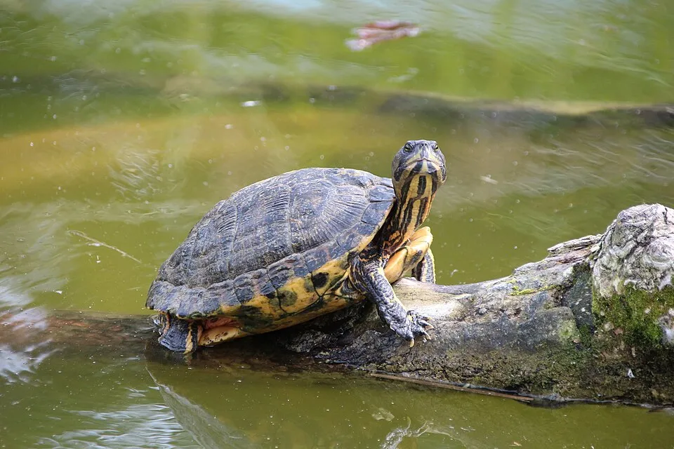 Pond sliderEU
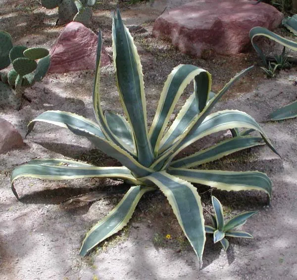 American century plant
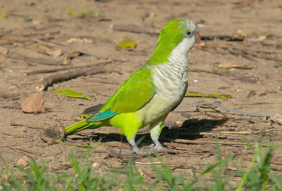 Monk Parakeet
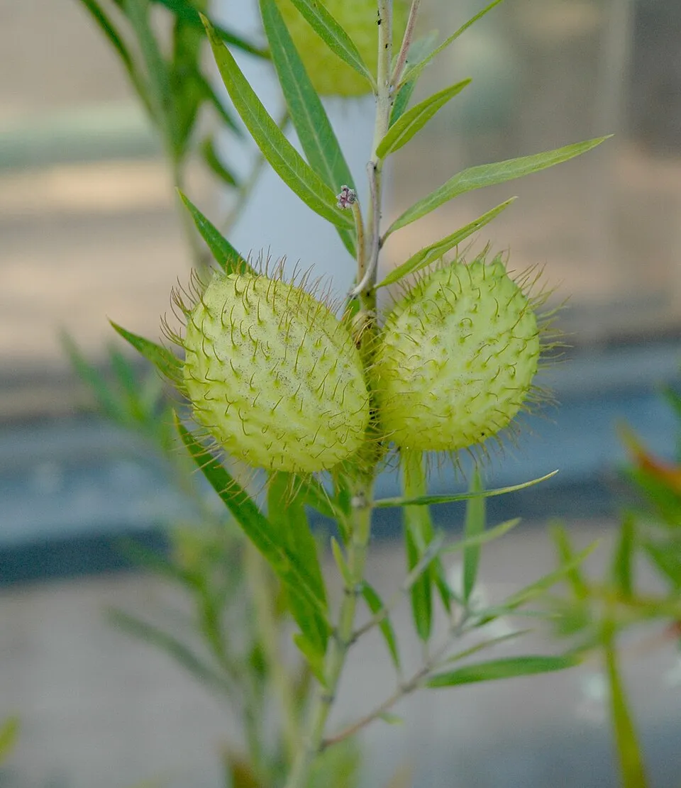 Swan Plant
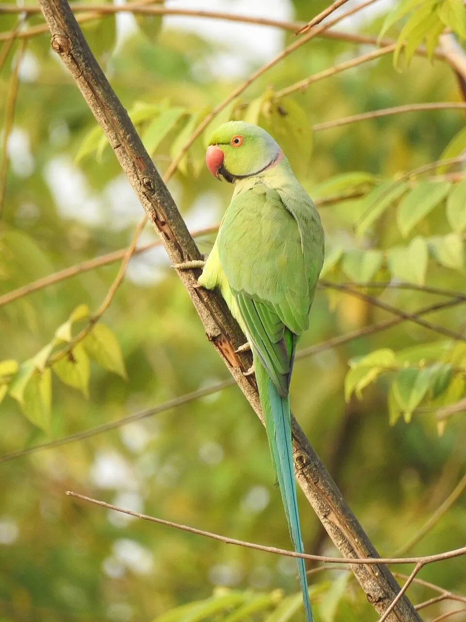 Rose-ringed Parakeet
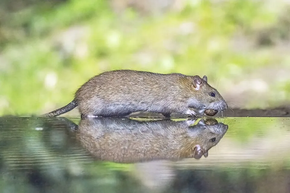 Brown rat
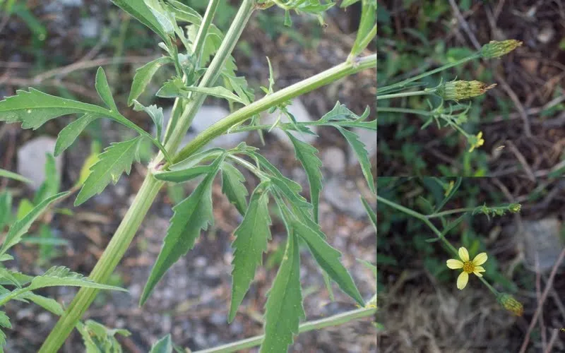 Greater beggar's ticks
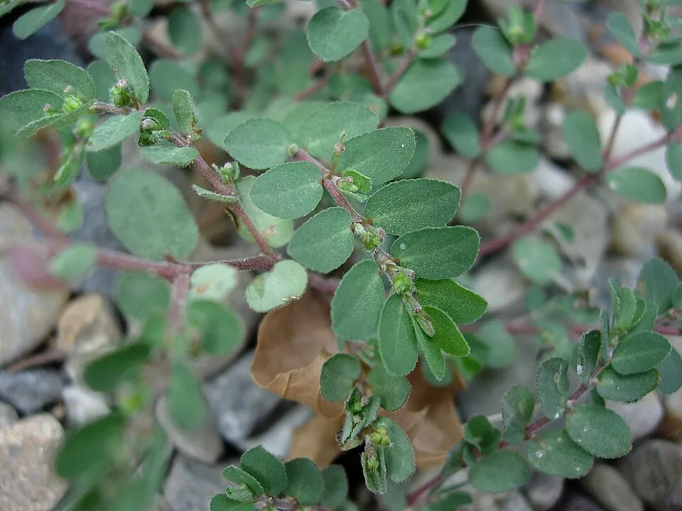 Prostrate Sandmat
Photos: Pond slider © Viva.Chelonia · CC BY 2.0; American century plant © Stan Shebs · CC BY-SA 3.0; Monk Parakeet © Kevin Jones · CC BY 2.0; Swan Plant © Carstor · CC BY-SA 3.0; Rose-ringed Parakeet © Afsarnayakkan · CC BY 3.0; Brown rat © Charles J. Sharp · CC BY-SA 4.0; Greater beggar's ticks © Andrés González · CC BY-SA 3.0; Prostrate Sandmat © toony · CC BY-SA 3.0
Sources: Global Forest Change (Hansen et al., University of Maryland, via Global Forest Watch, CC-BY 4.0); EFFIS, European Commission / Copernicus; NASA Black Marble 2016 (public domain); CORINE Land Cover 2018 (Copernicus) or MODIS.
CORINE Land Cover Change 1990–2018: generated using European Union's Copernicus Land Monitoring Service information (EEA), aggregated by Parkavela; DOI 10.2909/f30f1000-7cf8-43bb-872c-5eb093911b24.
Ecological status of water bodies: European Environment Agency, WISE – Water Framework Directive, 3rd river basin management plans (2022), CC BY 4.0. Official national classification, not comparable between countries.
Invasive alien species: Global Register of Introduced and Invasive Species (ISSG, CC BY 4.0); Union list, Regulation (EU) 1143/2014 (INBO, CC0); GBIF.org records (CC0 / CC BY 4.0), at least 2 per species.
Practical information
Cities and airport
- Vilanova i la Geltrú
4 km as the crow flies - L'Hospitalet de Llobregat
12 km as the crow flies - Airport: Josep Tarradellas Airport Barcelona-El Prat (BCN)
9 km as the crow flies
Visitor information
- La Pleta
within the site - La Sala
< 1 km from the site boundary - Oficina de Turisme de Sant Pere de Ribes
1 km from the site boundary - Oficina de Turisme Sitges
2 km from the site boundary
Things to see
27 caves
- Forats d'en Bori
cave - Cova Fumada
cave - Cova Negra
cave - Cova d'en Quadres
cave - Cova del Fondo
cave
Hiking
15 waymarked routes listed, including:
GR 5 (201 km)GR 92 (23 km)El CamíCamí Ramader de MarinaPenedèsCamí Ral de Barcelona a Vilafranca
By bike
EV8 · 4 km
Signed cycle routes: this does not mean that cycling is allowed on footpaths.
Data © OpenStreetMap contributors (ODbL) · Wikidata (CC0)
Contains information from EuroVelo GPX tracks downloaded from www.EuroVelo.com on 2026-10-22, which is made available here under the Open Database License (ODbL). EuroVelo® is a registered trademark of the ECF. Routes © OpenStreetMap contributors (ODbL), via Waymarked Trails
Waymarked hiking routes
CRdM Camí Ramader de Marina
9.3 km within the site ↗ 258 m↘ 248 m 109–256 m
GR 5 Sender dels Miradors
13.9 km within the site ↗ 414 m↘ 293 m 110–391 m
GR 92 Catalunya E22
9.9 km within the site ↗ 470 m↘ 287 m 24–297 m
up to T2 · mountain hiking
GR 92.4 Variant: Pla de Querol - Camí del Mas de l'Artís
14.2 km within the site ↗ 81 m↘ 489 m 67–484 m
P360T Penedès 360 Trekking
9.7 km within the site ↗ 225 m↘ 239 m 185–381 m
Tracks © OpenStreetMap contributors (ODbL), clipped to the boundary; elevation gain and profiles computed on the longest section from Mapzen Terrain Tiles (≈ 30 m), indicative only. Indicative difficulty (SAC scale, OpenStreetMap, via Waymarked Trails): check with the park.
Bathing
2 monitored bathing sites in or within 1 km of the site · 2025 classification
Excellent · 2
- Playa d'Aiguadol? Pm1 · sea · Excellent
- Playa del Garraf Pm1 · sea · Excellent
Source: European Environment Agency, official bathing water classification (Directive 2006/7/EC, CC-BY 4.0). Swimming is only permitted at the sites and times authorised locally.
Access and visiting
The nearest railway station is Garraf, less than 1 km from the site boundary. Nearest towns of over 50,000 people, as the crow flies: Vilanova i la Geltrú (4 km) and L'Hospitalet de Llobregat (12 km). Nearest airport: Josep Tarradellas Airport Barcelona-El Prat (BCN), about 9 km away. About 2.7 million people live within 20 km of the site boundary, 700,000 of them within 10 km; some 3,900 people are estimated to live inside (GHSL estimate, 2020). This population has grown by about 31% since 2000. Visitor information on site: La Pleta, La Sala and Oficina de Turisme de Sant Pere de Ribes. Waymarked hiking routes listed in OpenStreetMap: 15, including GR 5 (201 km), GR 92 (23 km), El Camí and Camí Ramader de Marina. The EuroVelo 8 cycle route (Mediterranean Route) crosses the site for about 4 km (EuroVelo). To see: 27 caves, including Forats d'en Bori, Cova Fumada, Cova Negra and Cova d'en Quadres. To plan a visit (access, opening periods, visitor rules), it is best to consult the official information from the managing body (Provincial Deputation of Barcelona) and the official website listed in this page's sources.
Source: OpenStreetMap (ODbL), Wikidata (CC0), October 2026.
Built heritage
According to Wikidata, 8 monuments listed as Bien de Interés Cultural stand within the boundary. Among them are 8 castles and fortifications. Examples include “Caseria de Santa Susanna” in Avinyonet del Penedés, “Castell de Campdàsens” in Sitges and “Castell d'Eramprunyà” in Gavá.
-
Caseria de Santa Susanna
Avinyonet del Penedés · 12th c. -
Castell de Campdàsens
Sitges -
Castell d'Eramprunyà
Gavá -
Castell de Garraf
Sitges -
Castell d'Olivella
Olivella -
Torre de Campdàsens
Sitges · 16th c. -
Torre de Ca n'Amell
Sitges -
Torre de Can Planes
Sitges · 15th c.
Source: Wikidata (CC0), monuments in each country’s official heritage protection registers, at national or regional level. Each item links to its Wikidata entry.
When to visit
Best time to visit: from April to August, with average temperatures of 12 to 23 °C and moderate rainfall. Precipitation peaks in October (up to 90 mm per month). Day length ranges from about 9 h 12 min in December to 15 h 08 min in June. Wildlife records published on GBIF peak for birds (May), plants (June), butterflies and moths (from April to June), dragonflies (October) and mammals (from March to June). These peaks also reflect when observers are most active.
Source: Copernicus ERA5-Land (C3S), monthly averages 1996–2025 at the representative point, temperatures adjusted for elevation.
Contains modified Copernicus Climate Change Service information 2026. Neither the European Commission nor ECMWF is responsible for any use that may be made of the Copernicus information or data it contains.
Wildlife records calendar
JFMAMJJASOND
Birds
Plants
Butterflies & moths
Dragonflies
Mammals
Monthly records published on GBIF (CC-BY), relative to the busiest month; also reflects observer activity.
Gallery
© joan ggk · CC BY 2.0
© Dragoncillo · CC BY-SA 3.0
© Josep Melero Bellmunt · CC BY-SA 3.0
© Pere López Brosa · CC BY-SA 4.0
© Pere López Brosa · CC BY-SA 4.0
© Enfo · CC BY-SA 3.0
Sources and licences
- Wikidata: Q3752505
- OpenStreetMap: relation 2065139
- Official website: https://parcs.diba.cat/web/garraf/inici
- Wikipedia: fr.wikipedia.org/wiki/Parc_naturel_du_Garraf
- WDPA: 389129
References
- cds.climate.copernicus.eu: climate · CC-BY-4.0
- registry.opendata.aws: elevation of the reference point, detailed relief · PD
- land.copernicus.eu: land cover, land cover change, sea share · COPERNICUS
- doi.org: population around the site · CC-BY-4.0
- wikidata.org: official area, establishment date, protected heritage, managing body, nearby cities and airport, access and peaks, lake depths, places to see, official website · CC0-1.0
- eea.europa.eu: bathing water quality, ecological status of waters · CC-BY-4.0
- en.eurovelo.com: EuroVelo cycle routes · ODbL-1.0
- cycling.waymarkedtrails.org: cycle routes · ODbL-1.0
- opentopodata.org: elevations · PD
- forest-fire.emergency.copernicus.eu: wildfires · COPERNICUS
- globalforestwatch.org: tree cover loss · CC-BY-4.0
- gbif.org: seasonality of sightings, invasive alien species, observed species · CC-BY-4.0
- europe-geology.eu: geology · CC-BY-4.0
- hydrosheds.org: lakes · CC-BY-4.0
- natura2000.eea.europa.eu: Natura 2000 habitats and species · CC-BY-4.0
- openstreetmap.org: official name, access and peaks · ODbL-1.0
- earthobservatory.nasa.gov: night light · PD
- hiking.waymarkedtrails.org: route difficulty · ODbL-1.0
- nsidc.org: snow cover · PD
- wikidata.org: Wikipedia article · CC-BY-SA-4.0
Data © OpenStreetMap contributors (ODbL), Wikidata (CC0) and the sources cited.