Poland · Terrestrial
Szczecin Landscape Park
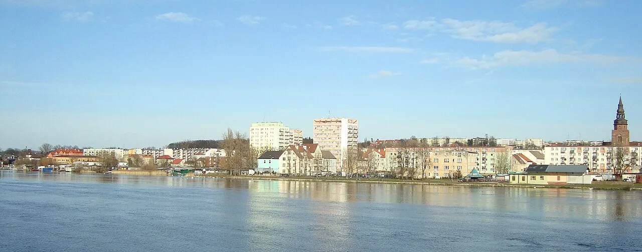
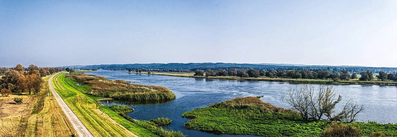
Landscape park of 9,096 hectares in Poland, established in 1981.
Overview
Landscape park of 9,096 hectares in Poland, established in 1981.
Szczecin Landscape Park is located in Poland (Europe). It is a predominantly terrestrial area. Established on 4 November 1981, it covers about 9,096 hectares.
Protections and designations
Natura 2000 · habitats (SAC)
- Wzgórza Bukowe PLH320020
Protected as a landscape park. International labels and designations: Natura 2000 network (1 site: “Wzgórza Bukowe”). Key dates: established in 1981 and first Natura 2000 site under the Habitats Directive in 2008.
In our collections
Timeline
-
1981
Established
-
2008
First Natura 2000 site under the Habitats Directive
Sources: Wikidata (CC0) for establishment and international labels; EEA Natura 2000 database (CC-BY 4.0) for site designation dates.
Frequently asked questions
Where is Szczecin Landscape Park?
In Poland (Europe). Representative point: 53.3333° N, 14.6667° E.
How large is Szczecin Landscape Park?
About 9,096 hectares (91 km²). It is the 91st largest of the 121 landscape parks in Poland covered by Parkavela.
When was Szczecin Landscape Park established?
On 4 November 1981.
What habitats and landscapes does Szczecin Landscape Park include?
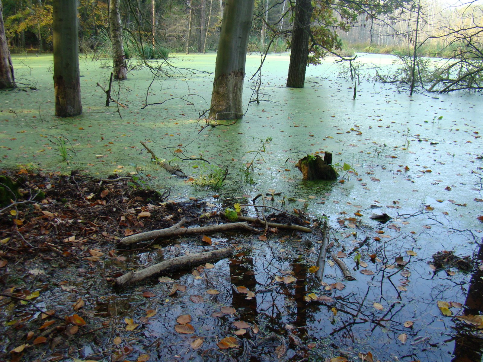
A terrestrial area, with forests.
What rocks lie beneath Szczecin Landscape Park?
According to the European 1:1 million geological map (EGDI), the bedrock consists mainly of glacial deposits (88% of sampled points) and sands and gravels (13%). These are mostly sedimentary rocks. The geological units date mainly from the Quaternary (88% of sampled points).
What is the highest point of Szczecin Landscape Park?
Szubieniczne, at 160 m (OpenStreetMap).
What are the main summits of Szczecin Landscape Park?
Szubieniczne (160 m), Bukowiec (148 m), Lisica (140 m), Łowczyn (138 m) and Rosocha (137 m) (OpenStreetMap).
Which international labels apply to Szczecin Landscape Park?
Natura 2000 network (1 site: “Wzgórza Bukowe”).
When is the best time to visit Szczecin Landscape Park?
Best time to visit: May and June, with average temperatures of 12 to 17 °C and moderate rainfall.
What is there to see in Szczecin Landscape Park?
9 viewpoints, 1 waterfall, 21 lakes and ponds and 2 caves, including Oko na Szczecin, Lisie Stawki (123 m), Grota Toepffera and Panorama (OpenStreetMap).
Where can I stay in Szczecin Landscape Park?
4 campsites, including Harcerska Baza Turystyczna „Wzgórze”, Jarząbki and Stanica Harcerska "Bukowina" (OpenStreetMap).
Are there historic monuments in Szczecin Landscape Park?
Yes. According to Wikidata, 9 monuments listed in the Polish register of monuments stand within the boundary. For example: “Cmentarz w Kołowie” in Kołowo, “Mur cmentarny z bramą w Kołowie” in Kołowo and “D. cmentarz przykościelny z drzewostanem” in Dobropole Gryfińskie.
What is the nearest large city to Szczecin Landscape Park?
Nearest towns of over 50,000 people, as the crow flies: Szczecin (7 km) and Stargard (16 km). Nearest airport: "Solidarity" Szczecin-Goleniów (SZZ), about 28 km away.
How can I reach Szczecin Landscape Park by train?
The nearest railway station is Szczecin Zdroje, less than 1 km from the site boundary.
Where can I get visitor information on site?
Szczecińskie Centrum Informacji Turystycznej "Szmaragdowe - Zdroje".
Are there waymarked hiking trails in Szczecin Landscape Park?
Yes. Waymarked hiking routes listed in OpenStreetMap: 20, including Szlak im. Stanisława Grońskiego, Szlak Buczynowych Wąwozów, Szlak im. Bolesława Krzywoustego and Szlak im. Stanisława Pawelskiego. The “ZP-1056-n · Szlak im. Stanisława Grońskiego” route runs for about 19 km through the site, with some 150 m of ascent on its longest section.
Which species can be seen in Szczecin Landscape Park?
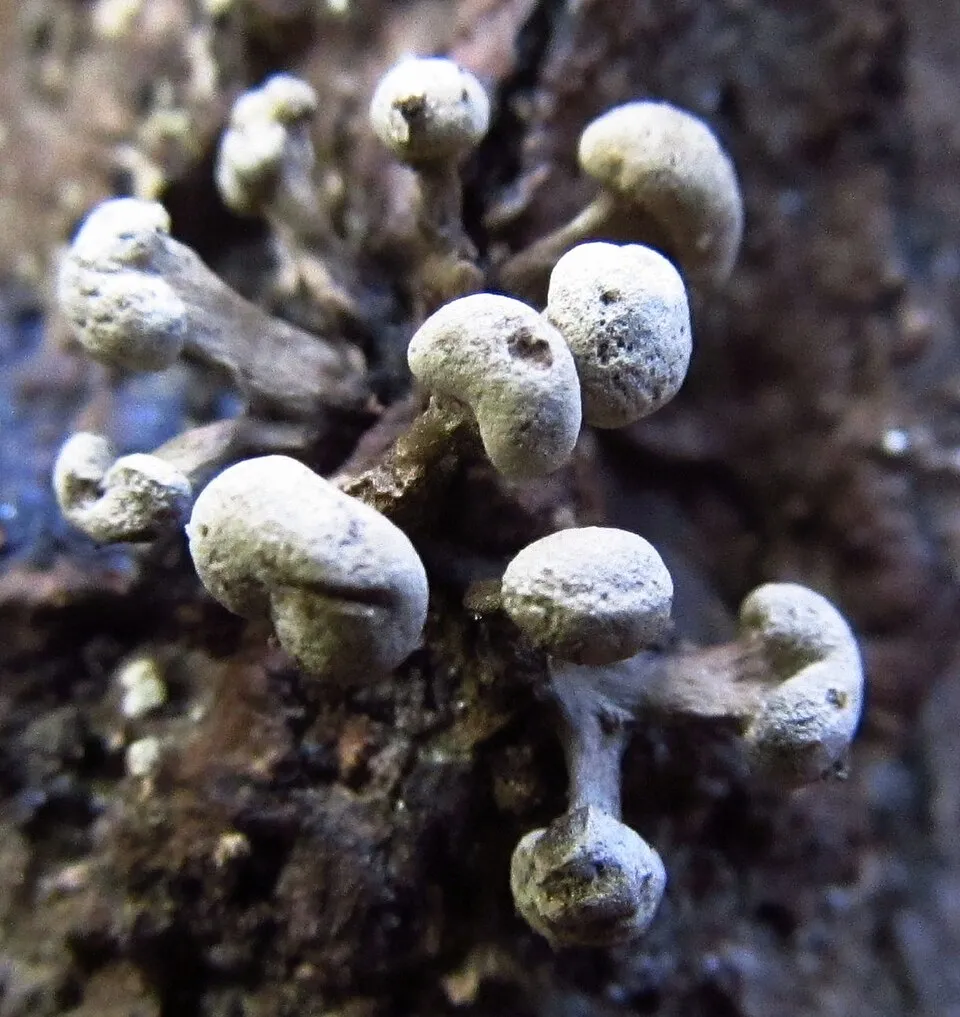
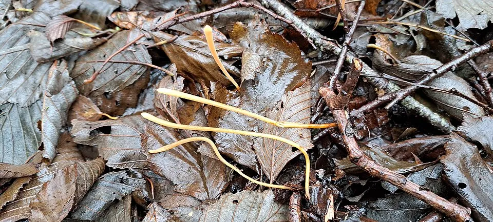
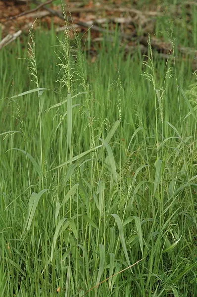
Among the species most often recorded on GBIF are Phleogena faginea (Fenugreek Stalkball), Typhula fistulosa, Milium effusum (American milletgrass) and Ischnoderma resinosum (Resinous Polypore).
© OpenStreetMap
Download the boundary: GeoJSON · GPX Boundary © OpenStreetMap contributors (ODbL).
Geography
The representative point of the site lies at around 133 m above sea level. Over the 1996–2025 period, the mean annual temperature is about 9.0 °C and total precipitation reaches roughly 669 mm per year. The warmest month is usually July, the coolest January, and the wettest July. According to the European 1:1 million geological map (EGDI), the bedrock consists mainly of glacial deposits (88% of sampled points) and sands and gravels (13%). These are mostly sedimentary rocks. The geological units date mainly from the Quaternary (88% of sampled points). The site contains 2 lakes larger than 10 ha, totalling 67 ha of water; the largest, Jezioro Binowskie, covers 52 ha (HydroLAKES).
Area
- Area
- 9,096 ha
- Elevation
- 133 m
- Lakes over 10 ha
- 2 (67 ha)
- Coordinates
- 53.3333, 14.6667
Lakes: HydroLAKES (Messager et al. 2016, hydrosheds.org, CC BY 4.0) · depths: Wikidata (CC0)
Bedrock
- Glacial deposits 88 %
- Sands and gravels 13 %
Sedimentary rocks 100 % · Main age: Quaternary (88%)
Source: EGDI 1:1M geological map (EuroGeoSurveys and national geological surveys), CC BY 4.0 · 16 sampled points within the site.
Main summits
- Szubieniczne160 m
- Bukowiec148 m
- Lisica140 m
- Łowczyn138 m
- Rosocha137 m
- Wodnik135 m
- Kopytnik133 m
- Jelonek132 m
- Czajcza Góra127 m
- Glapi Garb123 m
Data © OpenStreetMap contributors (ODbL)
Climate
● Mean temperature (°C) · ▮ Precipitation (mm)
Source: Copernicus ERA5-Land (C3S, doi:10.24381/cds.68d2bb30), monthly averages 1996–2025 interpolated to the representative point, temperatures adjusted for elevation.
Contains modified Copernicus Climate Change Service information 2026. Neither the European Commission nor ECMWF is responsible for any use that may be made of the Copernicus information or data it contains.
Snow cover measured by satellite
J
F
M
A
M
J
J
A
S
O
N
D
average share of the site under snow · snowiest parts · ≈ 25 days a year
Snow cover: MODIS/Terra MOD10CM v61 (Hall & Riggs, 2021, NASA NSIDC DAAC, doi:10.5067/MODIS/MOD10CM.061), imagery from NASA GIBS (ESDIS); 2015–2025 average, grid of about 5 km.
Natural habitats
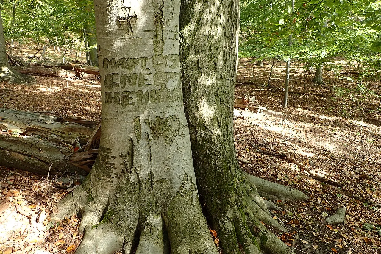
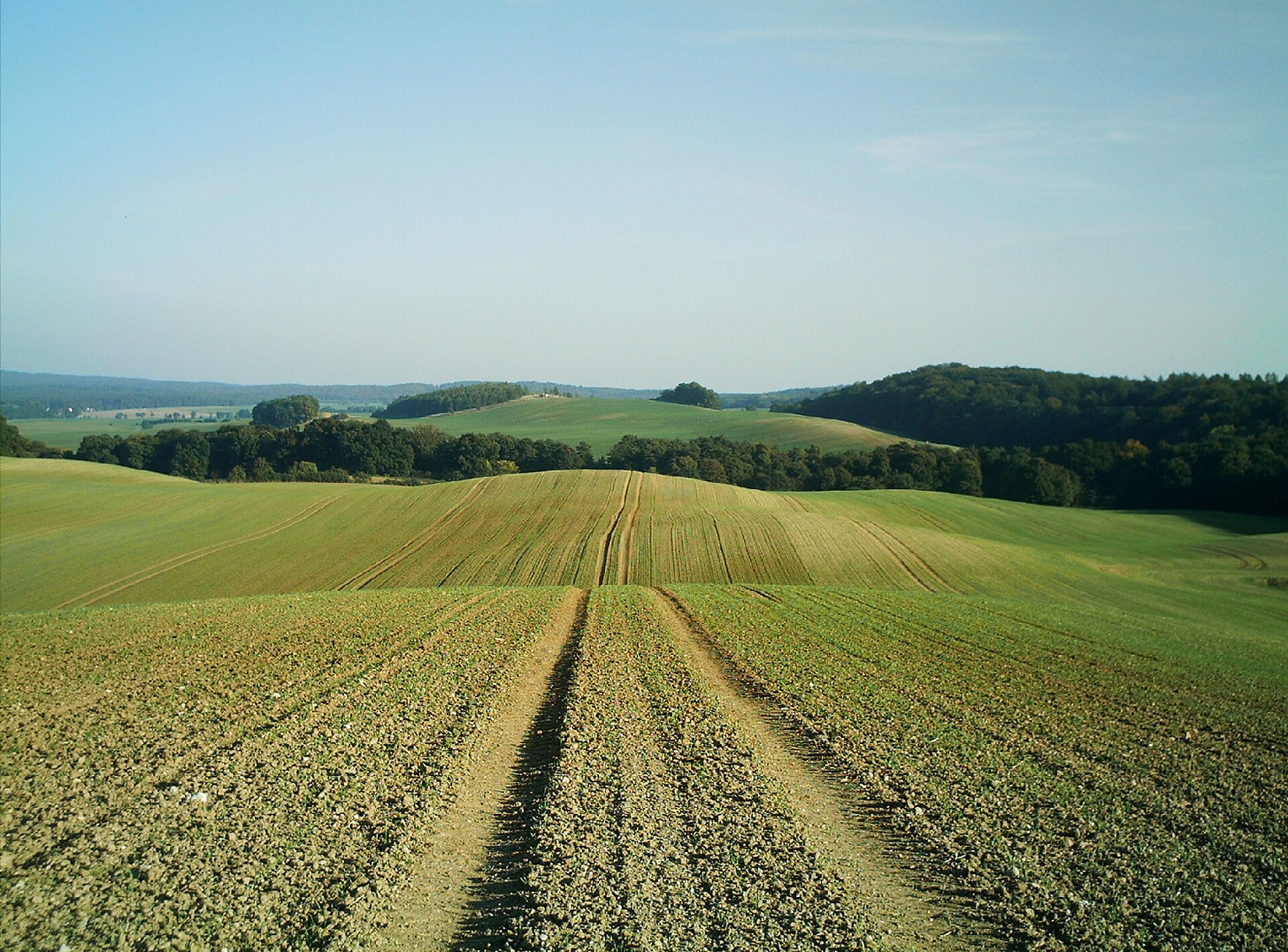
According to CORINE Land Cover (2018), the site is mainly made up of forests (81%) and farmland (14%). Woodland is mostly broadleaved. Elevation ranges from about 40 m to 160 m (highest point: Szubieniczne). The Natura 2000 site overlapping the area lists 19 habitats of European interest (5 priority), the most extensive being Asperulo-Fagetum beech forests, Luzulo-Fagetum beech forests and alluvial forests with Alnus glutinosa and Fraxinus excelsior (Alno-Padion, Alnion incanae, Salicion albae).
Biodiversity
Based on occurrences aggregated by GBIF, several species are regularly recorded within the site. Among the most frequent are Phleogena faginea (Fenugreek Stalkball), Typhula fistulosa, Milium effusum (American milletgrass) and Ischnoderma resinosum (Resinous Polypore). The full list of documented taxa is shown below. The overlapping Natura 2000 site lists 33 species of European interest: 14 mammals, 11 amphibians, 1 fish and 7 invertebrates.
Habitats of European interest
From the official form of the Natura 2000 site overlapping the area (areas reported for the whole site).
- Asperulo-Fagetum beech forests 4,885 ha
- Luzulo-Fagetum beech forests 593 ha
- Alluvial forests with Alnus glutinosa and Fraxinus excelsior (Alno-Padion, Alnion incanae, Salicion albae) priority 261 ha
- Natural eutrophic lakes with Magnopotamion or Hydrocharition-type vegetation 214 ha
- Sub-Atlantic and medio-European oak or oak-hornbeam forests of the Carpinion betuli 107 ha
- Old acidophilous oak woods with Quercus robur on sandy plains 32 ha
- Lowland hay meadows (Alopecurus pratensis, Sanguisorba officinalis) 23 ha
- Transition mires and quaking bogs 12 ha
and 11 more
Species of European interest
Mammals · 14
Barbastelle (Barbastella barbastellus), Eurasian Beaver (Castor fiber), Serotine bat (Eptesicus serotinus), Eurasian otter (Lutra lutra), European pine marten (Martes martes), Western Polecat (Mustela putorius), Daubenton's bat (Myotis daubentonii), Greater mouse-eared bat (Myotis myotis), Natterer's bat (Myotis nattereri), Common noctule (Nyctalus noctula), Nathusius's pipistrelle (Pipistrellus nathusii), Common pipistrelle (Pipistrellus pipistrellus) and 2 more
Amphibians · 11
European fire-bellied toad (Bombina bombina), Natterjack (Bufo calamita), European green toad (Bufo viridis), Common tree frog (Hyla arborea), Common Spadefoot (Pelobates fuscus), Moor frog (Rana arvalis), Edible frog (Rana esculenta), Pool frog (Rana lessonae), Marsh frog (Rana ridibunda), Common frog (Rana temporaria), Great crested newt (Triturus cristatus)
Fish · 1
Invertebrates · 7
Green hawker (Aeshna viridis), Noble crayfish (Astacus astacus), Lilypad whiteface (Leucorrhinia caudalis), Yellow-spotted Whiteface (Leucorrhinia pectoralis), Large copper (Lycaena dispar), Green snaketail (Ophiogomphus cecilia), Thick shelled river mussel (Unio crassus)
Source: Natura 2000 standard data forms (EEA, CC-BY 4.0). Not exhaustive: sensitive species are not published.
Species to look out for
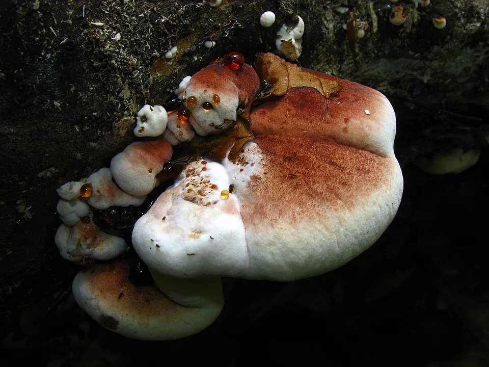


Observed species
Occurrences documented via GBIF; they are neither an exhaustive inventory nor proof of current presence.
- Fenugreek Stalkball · Phleogena faginea · 32
- Typhula fistulosa · 24
- American milletgrass · Milium effusum · 22
- Resinous Polypore · Ischnoderma resinosum · 21
- Coral Tooth · Hericium coralloides · 21
- Giant Polypore · Meripilus giganteus · 20
- Dust lichen · Lepraria incana · 20
- Serpula himantioides · 19
- Saffrondrop Bonnet · Mycena crocata · 15
- Leafy Brain · Phaeotremella foliacea · 15
- Eurasian Nuthatch · Sitta europaea · 14
- Sweet woodruff · Galium odoratum · 14
+18 more species
- Scribble lichen · Opegrapha niveoatra · 14
- Small balsam · Impatiens parviflora · 13
- Smooth tare · Vicia tetrasperma · 13
- Bearded tooth · Hericium erinaceus · 13
- Hawthorn · Crataegus monogyna · 13
- Great tit · Parus major · 13
- Hairy Oysterling · Resupinatus trichotis · 12
- Willow Glue · Hydnoporia tabacina · 11
- Northern Raven · Corvus corax · 11
- Mock oyster · Phyllotopsis nidulans · 11
- Colonial bentgrass · Agrostis capillaris · 11
- Dog Stinkhorn · Mutinus caninus · 11
- Garlic Mustard · Alliaria petiolata · 11
- Typhula juncea · 11
- European robin · Erithacus rubecula · 10
- Amber Jelly · Exidia recisa · 10
- Lawson's Cypress · Chamaecyparis lawsoniana · 10
- European Beech · Fagus sylvatica · 10
Records: GBIF.org (CC-BY). Names: Wikidata (CC0), GBIF. Photos: Wikimedia Commons.
Conservation challenges
The primary purpose of the site is to preserve its natural habitats and the biodiversity they support. The species recorded (Biodiversity tab) reflect its ecological value. The designations it holds frame its management and the control of land use.
According to Global Forest Change data (University of Maryland, Global Forest Watch), about 282 ha of tree cover were lost within the boundary between 2001 and 2023 (3% of its area), peaking in 2007. These losses include logging, storms and fires, and do not account for regrowth. According to CORINE Land Cover, land cover here remained almost unchanged between 1990 and 2018 (less than 0.5% of the area affected); only some 6 ha were built over. At night, 27% of the area gives off artificial light detectable from space (NASA VIIRS Black Marble composite, 2016). Built-up and developed land (buildings, business areas, roads, quarries) covers 3% of the area, and farmland 14% (CORINE Land Cover). According to the Natura 2000 forms, of 12 assessed habitats of European interest, 3 are in excellent condition and 6 in average or reduced condition. According to the Water Framework Directive assessment (2022 river basin management plans, data 2014–2019), none of the 6 km of rivers assessed within the site reaches good ecological status; they mostly have moderate ecological status. Other assessed water bodies: lakes, 1 of 1 in good ecological status or better. Since 2000, 6 invasive alien species have been recorded within the site (GBIF observations), one of them listed as of Union concern under EU Regulation 1143/2014. Among them: Broussonetia papyrifera (Paper mulberry), Impatiens parviflora (Small balsam) and Juncus tenuis (Slender rush).
Pressure indicators
Tree cover lost
282 ha
2001–2023 · 3% of the area
20012023
Fires since 2016
0
No large fire mapped (fires over about 30 ha)
Light at night
27%
of the area gives off artificial light visible from space
DarkLit
Built-up land
3%
buildings, business areas, roads, quarries · farmland 14%
Land cover change
< 0.5%
of the area changed, 1990–2018 · CORINE
Rivers and lakes
0%
of the 6 km of assessed rivers in good or high ecological status · WFD 2022
Lakes: 1 of 1 good or better
assessments 2014–2019
Invasive alien species
6
incl. 1 of EU concern · since 2000
 Paper mulberry
 Small balsam
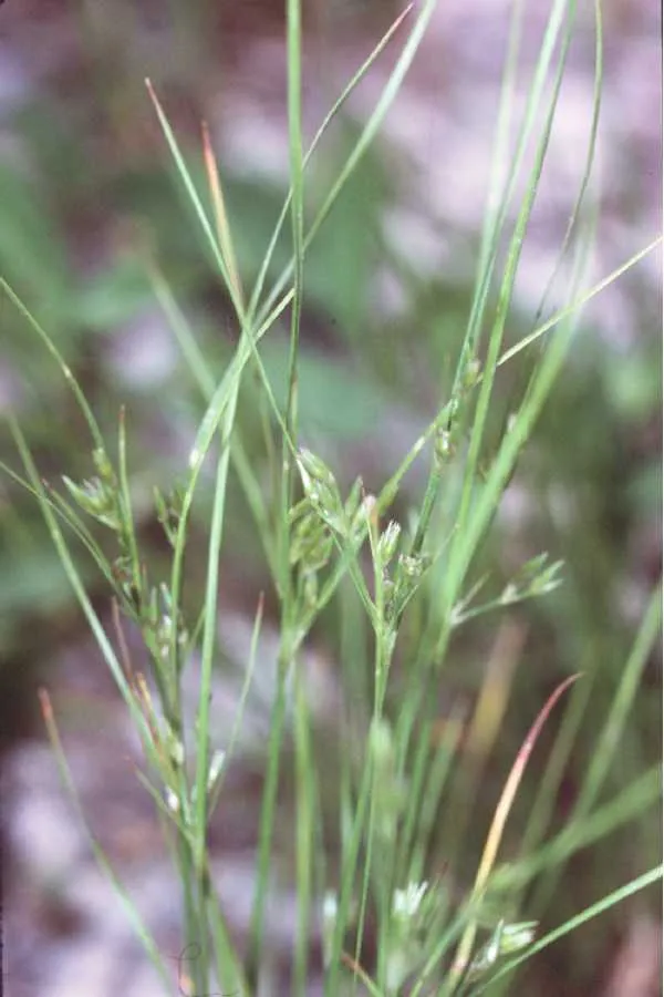 Slender rush
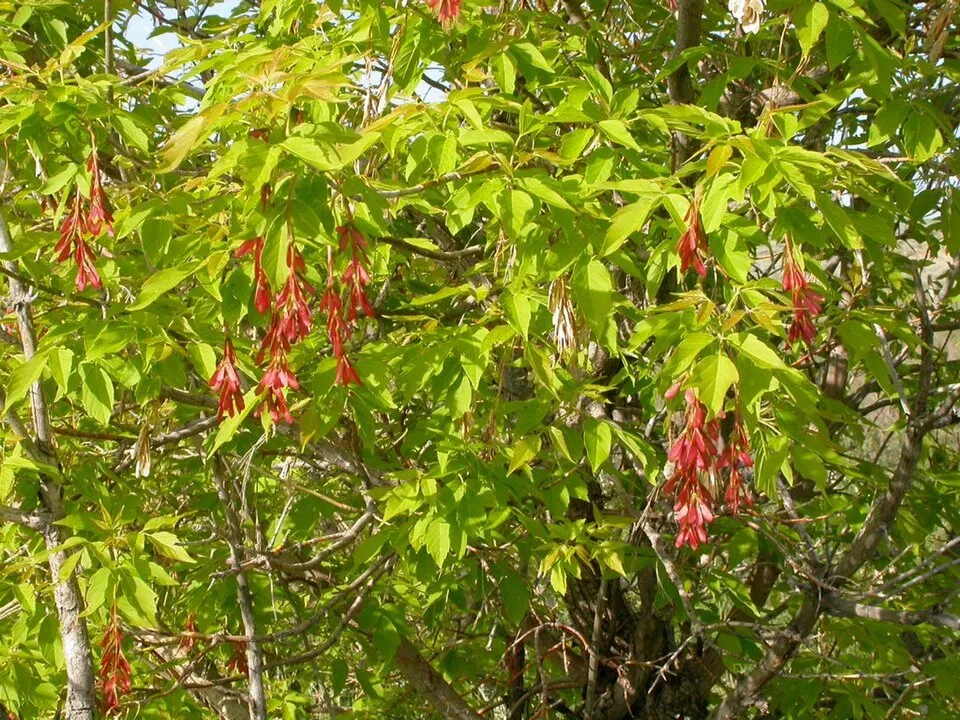 Ashleaf maple
 Japanese rose
Photos: Paper mulberry © Didier Descouens · CC BY-SA 4.0; Small balsam © André Karwath aka Aka · CC BY-SA 2.5; Slender rush © EVula · Public domain; Ashleaf maple © Matt Lavin from Bozeman, Montana, USA · CC BY-SA 2.0; Japanese rose © Vihljun · Public domain
Sources: Global Forest Change (Hansen et al., University of Maryland, via Global Forest Watch, CC-BY 4.0); EFFIS, European Commission / Copernicus; NASA Black Marble 2016 (public domain); CORINE Land Cover 2018 (Copernicus) or MODIS.
CORINE Land Cover Change 1990–2018: generated using European Union's Copernicus Land Monitoring Service information (EEA), aggregated by Parkavela; DOI 10.2909/f30f1000-7cf8-43bb-872c-5eb093911b24.
Ecological status of water bodies: European Environment Agency, WISE – Water Framework Directive, 3rd river basin management plans (2022), CC BY 4.0. Official national classification, not comparable between countries.
Invasive alien species: Global Register of Introduced and Invasive Species (ISSG, CC BY 4.0); Union list, Regulation (EU) 1143/2014 (INBO, CC0); GBIF.org records (CC0 / CC BY 4.0), at least 2 per species.
Practical information
Cities and airport
- Szczecin
7 km as the crow flies - Stargard
16 km as the crow flies - Airport: "Solidarity" Szczecin-Goleniów (SZZ)
28 km as the crow flies
Visitor information
Things to see
9 viewpoints · 1 waterfall · 21 lakes and ponds · 2 caves
- Oko na Szczecin
viewpoint - Lisie Stawki
lake or pond · 123 m - Grota Toepffera
cave - Panorama
viewpoint - Piasecznik Mały
lake or pond · 78 m
Where to stay
4 campsites
- Harcerska Baza Turystyczna „Wzgórze”
campsite - Jarząbki
campsite - Stanica Harcerska "Bukowina"
campsite
Hiking
20 waymarked routes listed, including:
Szlak im. Stanisława GrońskiegoSzlak Buczynowych WąwozówSzlak im. Bolesława KrzywoustegoSzlak im. Stanisława PawelskiegoSzlak im. Bolesława CzwójdzińskiegoSzlak Równiny Wełtyńskiej i Pojezierza Myśliborskiego
By bike
803 Trasa Doliny Płoni · 3 km
Signed cycle routes: this does not mean that cycling is allowed on footpaths.
Data © OpenStreetMap contributors (ODbL) · Wikidata (CC0)
Routes © OpenStreetMap contributors (ODbL), via Waymarked Trails
Waymarked hiking routes
ZP-1056-n Szlak im. Stanisława Grońskiego
18.8 km within the site ↗ 151 m↘ 130 m 31–149 m
ZP-1058-y Szlak Buczynowych Wąwozów
3.1 km within the site ↗ 55 m↘ 24 m 61–116 m
ZP-1059-y Szlak im. Bolesława Krzywoustego
9 km within the site ↗ 129 m↘ 155 m 46–154 m
ZP-1060-c Szlak im. Stanisława Pawelskiego
9.6 km within the site ↗ 114 m↘ 125 m 52–141 m
ZP-1061-z Szlak im. Bolesława Czwójdzińskiego
15.9 km within the site ↗ 153 m↘ 169 m 27–152 m
ZP-1063-n Szlak Równiny Wełtyńskiej i Pojezierza Myśliborskiego
7.9 km within the site ↗ 109 m↘ 113 m 45–133 m
ZP-1064-z Szlak Woja Żelisława
12 km within the site ↗ 104 m↘ 115 m 40–135 m
Tracks © OpenStreetMap contributors (ODbL), clipped to the boundary; elevation gain and profiles computed on the longest section from Mapzen Terrain Tiles (≈ 30 m), indicative only.
Access and visiting
The nearest railway station is Szczecin Zdroje, less than 1 km from the site boundary. Nearest towns of over 50,000 people, as the crow flies: Szczecin (7 km) and Stargard (16 km). Nearest airport: "Solidarity" Szczecin-Goleniów (SZZ), about 28 km away. About 610,000 people live within 20 km of the site boundary, 350,000 of them within 10 km; some 3,200 people are estimated to live inside (GHSL estimate, 2020). Visitor information on site: Szczecińskie Centrum Informacji Turystycznej "Szmaragdowe - Zdroje". Waymarked hiking routes listed in OpenStreetMap: 20, including Szlak im. Stanisława Grońskiego, Szlak Buczynowych Wąwozów, Szlak im. Bolesława Krzywoustego and Szlak im. Stanisława Pawelskiego. A signed cycle route crosses the site: “803 Trasa Doliny Płoni” (OpenStreetMap). To see: 9 viewpoints, 1 waterfall, 21 lakes and ponds and 2 caves, including Oko na Szczecin, Lisie Stawki (123 m), Grota Toepffera and Panorama. Where to stay: 4 campsites, including Harcerska Baza Turystyczna „Wzgórze”, Jarząbki and Stanica Harcerska "Bukowina". To plan a visit (access, opening periods, visitor rules), it is best to consult the official information from the managing body and the official website listed in this page's sources.
Source: OpenStreetMap (ODbL), Wikidata (CC0), October 2026.
Built heritage
According to Wikidata, 9 monuments listed in the Polish register of monuments stand within the boundary. Among them are 6 religious buildings. Examples include “Cmentarz w Kołowie” in Kołowo, “Mur cmentarny z bramą w Kołowie” in Kołowo and “D. cmentarz przykościelny z drzewostanem” in Dobropole Gryfińskie.
-
Cmentarz w Kołowie
Kołowo -
Mur cmentarny z bramą w Kołowie
Kołowo -
D. cmentarz przykościelny z drzewostanem
Dobropole Gryfińskie -
Ogrodzenie
Dobropole Gryfińskie -
Dawny cmentarz przy kościele w Binowie
Binowo · 15th c. -
Zespół kościoła
Binowo · 15th c. -
Sacred Heart church in Kołowo
Kołowo -
Kościół Podwyższenia Krzyża Świętego w Dobropolu Gryfińskim
Dobropole Gryfińskie
and 1 more
Source: Wikidata (CC0), monuments in each country’s official heritage protection registers, at national or regional level. Each item links to its Wikidata entry.
When to visit
Best time to visit: May and June, with average temperatures of 12 to 17 °C and moderate rainfall. Average temperatures drop below 0 °C in January: frost is common. Snow only makes brief appearances in winter (about 25 days a year on average, MODIS satellites 2015–2025). Day length ranges from about 7 h 32 min in December to 16 h 58 min in June. Wildlife records published on GBIF peak for birds (May) and plants (June and July). These peaks also reflect when observers are most active.
Source: Copernicus ERA5-Land (C3S), monthly averages 1996–2025 at the representative point, temperatures adjusted for elevation.
Contains modified Copernicus Climate Change Service information 2026. Neither the European Commission nor ECMWF is responsible for any use that may be made of the Copernicus information or data it contains.
Wildlife records calendar
JFMAMJJASOND
Birds
Plants
Monthly records published on GBIF (CC-BY), relative to the busiest month; also reflects observer activity.
Gallery
© Yves6 · CC BY-SA 3.0
© Kapitel · Public domain
© Endymion2000 · CC BY-SA 3.0
© Hoa binh · CC BY-SA 4.0
© Endymion2000 · CC0-1.0
© Krzysztof Ziarnek, Kenraiz · CC BY-SA 3.0
Sources and licences
- Wikidata: Q2346344
- OpenStreetMap: relation 4512871
- Wikipedia: en.wikipedia.org/wiki/Szczecin_Landscape_Park
- WDPA: 11636
References
- cds.climate.copernicus.eu: climate · CC-BY-4.0
- registry.opendata.aws: elevation of the reference point, detailed relief · PD
- land.copernicus.eu: land cover, land cover change, sea share · COPERNICUS
- doi.org: population around the site · CC-BY-4.0
- wikidata.org: official area, establishment date, protected heritage, official name, nearby cities and airport, access and peaks, lake depths, places to see · CC0-1.0
- eea.europa.eu: bathing water quality, ecological status of waters · CC-BY-4.0
- en.eurovelo.com: EuroVelo cycle routes · ODbL-1.0
- cycling.waymarkedtrails.org: cycle routes · ODbL-1.0
- opentopodata.org: elevations · PD
- forest-fire.emergency.copernicus.eu: wildfires · COPERNICUS
- globalforestwatch.org: tree cover loss · CC-BY-4.0
- gbif.org: seasonality of sightings, invasive alien species, observed species · CC-BY-4.0
- europe-geology.eu: geology · CC-BY-4.0
- hydrosheds.org: lakes · CC-BY-4.0
- natura2000.eea.europa.eu: Natura 2000 habitats and species · CC-BY-4.0
- earthobservatory.nasa.gov: night light · PD
- openstreetmap.org: access and peaks, places to see · ODbL-1.0
- hiking.waymarkedtrails.org: route difficulty · ODbL-1.0
- nsidc.org: snow cover · PD
- wikidata.org: Wikipedia article · CC-BY-SA-4.0
Data © OpenStreetMap contributors (ODbL), Wikidata (CC0) and the sources cited.