Italy · Terrestrial
Ligurian Alps Regional Nature Park
Regional nature park of 6,041 hectares in Italy, established in 2007.
Overview
Regional nature park of 6,041 hectares in Italy, established in 2007.
Ligurian Alps Regional Nature Park is located in Italy (Europe). It is a predominantly terrestrial area. Established in 2007, it covers about 6,041 hectares.
Protections and designations
Natura 2000 · habitats (SAC) · 8 sites
- Bosco di Rezzo IT1315504
- Cima di Piano Cavallo - Bric Cornia IT1313712
- Monte Carpasina IT1315503
- Monte Ceppo IT1315407
- Monte Gerbonte IT1314611
- Monte Monega - Monte Prearba IT1314609
- and 2 more
Natura 2000 · birds (SPA) · 5 sites
- Ceppo Tomena IT1315481
- Piancavallo IT1313776
- Saccarello - Garlenda IT1314677
- Sciorella IT1314678
- Toraggio - Gerbonte IT1314679
Protected as a regional nature park. International labels and designations: Natura 2000 network (13 sites). Key dates: first Natura 2000 site under the Birds Directive in 2000, established in 2007 and first Natura 2000 site under the Habitats Directive in 2015.
In our collections
Timeline
-
2000
First Natura 2000 site under the Birds Directive 5 such sites designated up to 2000
-
2007
Established
-
2015
First Natura 2000 site under the Habitats Directive 5 such sites designated up to 2015
Sources: Wikidata (CC0) for establishment and international labels; EEA Natura 2000 database (CC-BY 4.0) for site designation dates.
Frequently asked questions
Where is Ligurian Alps Regional Nature Park?
In Italy (Europe). Representative point: 44.0197° N, 7.7494° E.
How large is Ligurian Alps Regional Nature Park?
About 6,041 hectares (60 km²). It is the 69th largest of the 128 regional parks in Italy covered by Parkavela.
When was Ligurian Alps Regional Nature Park established?
In 2007.
What habitats and landscapes does Ligurian Alps Regional Nature Park include?
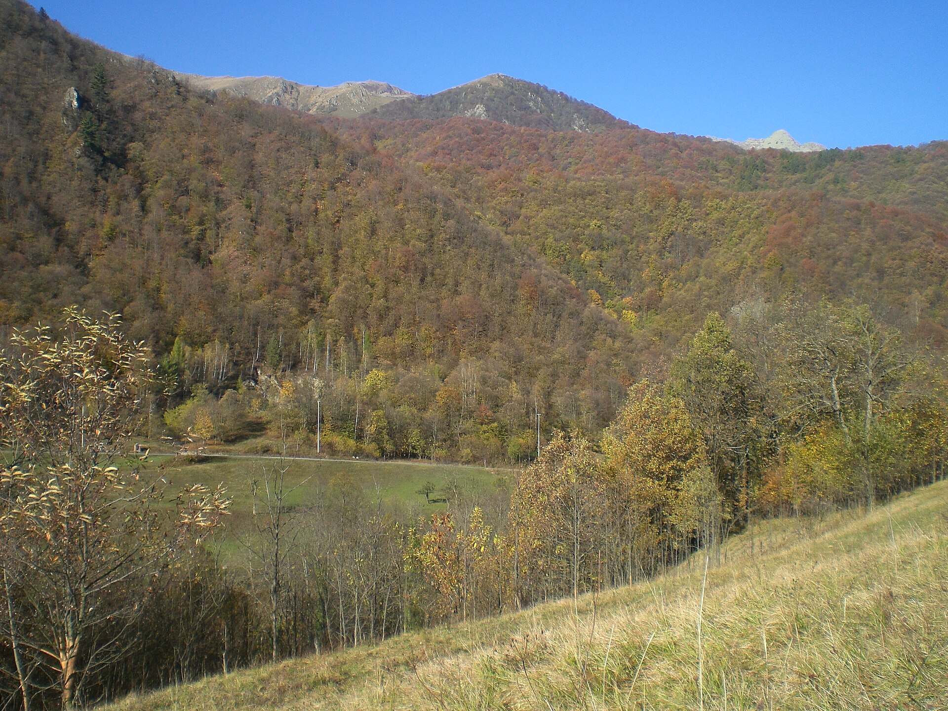
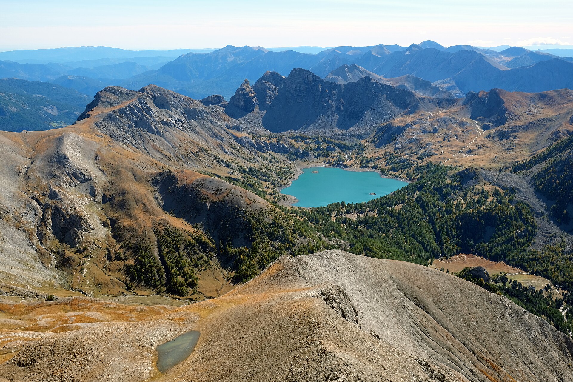
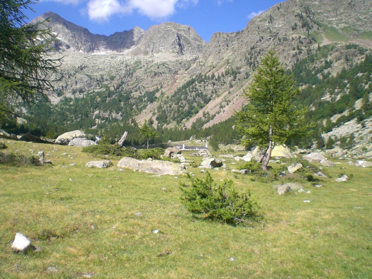
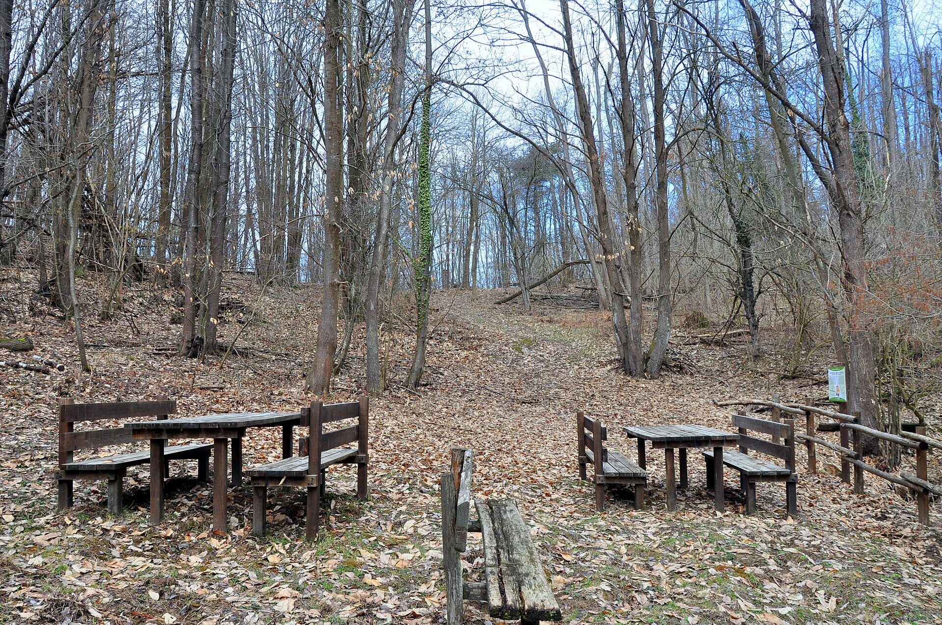
A terrestrial area, with forests and mountains.
What rocks lie beneath Ligurian Alps Regional Nature Park?
According to the European 1:1 million geological map (EGDI), the bedrock consists mainly of marly limestones (63% of sampled points) and limestones (31%). These are mostly sedimentary rocks. The geological units date mainly from the Cretaceous (63% of sampled points).
What is the highest point of Ligurian Alps Regional Nature Park?
Monte Frontè, at 2,151 m (OpenStreetMap).
What are the main summits of Ligurian Alps Regional Nature Park?
Monte Frontè (2,151 m), Cima Garlenda (2,141 m), Monte Cimanasso (2,085 m), Cima Omo dell'Alpetta (2,052 m) and Mont Grai (2,013 m) (OpenStreetMap).
Which international labels apply to Ligurian Alps Regional Nature Park?
Natura 2000 network (13 sites).
When is the best time to visit Ligurian Alps Regional Nature Park?
Best time to visit: from May to October, with average temperatures of 10 to 19 °C and moderate rainfall.
What is there to see in Ligurian Alps Regional Nature Park?
3 viewpoints, 1 lake or pond and 3 caves, including Lago di Tenarda, Arma Cornarea (1,040 m) and Arma Ciosa (OpenStreetMap).
Where can I stay in Ligurian Alps Regional Nature Park?
2 mountain huts, including Rifugio Monte Grai - Silvio Lepanto (1,920 m) and Rifugio Allavena (1,545 m) (OpenStreetMap).
What is the nearest large city to Ligurian Alps Regional Nature Park?
Nearest towns of over 50,000 people, as the crow flies: Sanremo (10 km) and Cuneo (32 km). Nearest airport: Cuneo (CUF), about 46 km away.
How can I reach Ligurian Alps Regional Nature Park by train?
The nearest railway station is La Brigue, about 6 km from the site boundary.
Where can I get visitor information on site?
Sede Parco Alpi Liguri, Pro Loco Molini and Pro Triora.
Are there waymarked hiking trails in Ligurian Alps Regional Nature Park?
Yes. Waymarked hiking routes listed in OpenStreetMap: 42. The “381 · Sentiero del Parco delle Alpi Liguri - Valle Arroscia e Giara di Rezzo” route runs for about 26 km through the site, with some 280 m of ascent on its longest section.
Which species can be seen in Ligurian Alps Regional Nature Park?
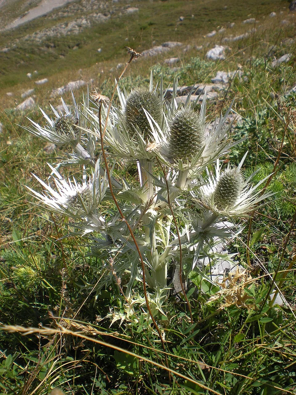
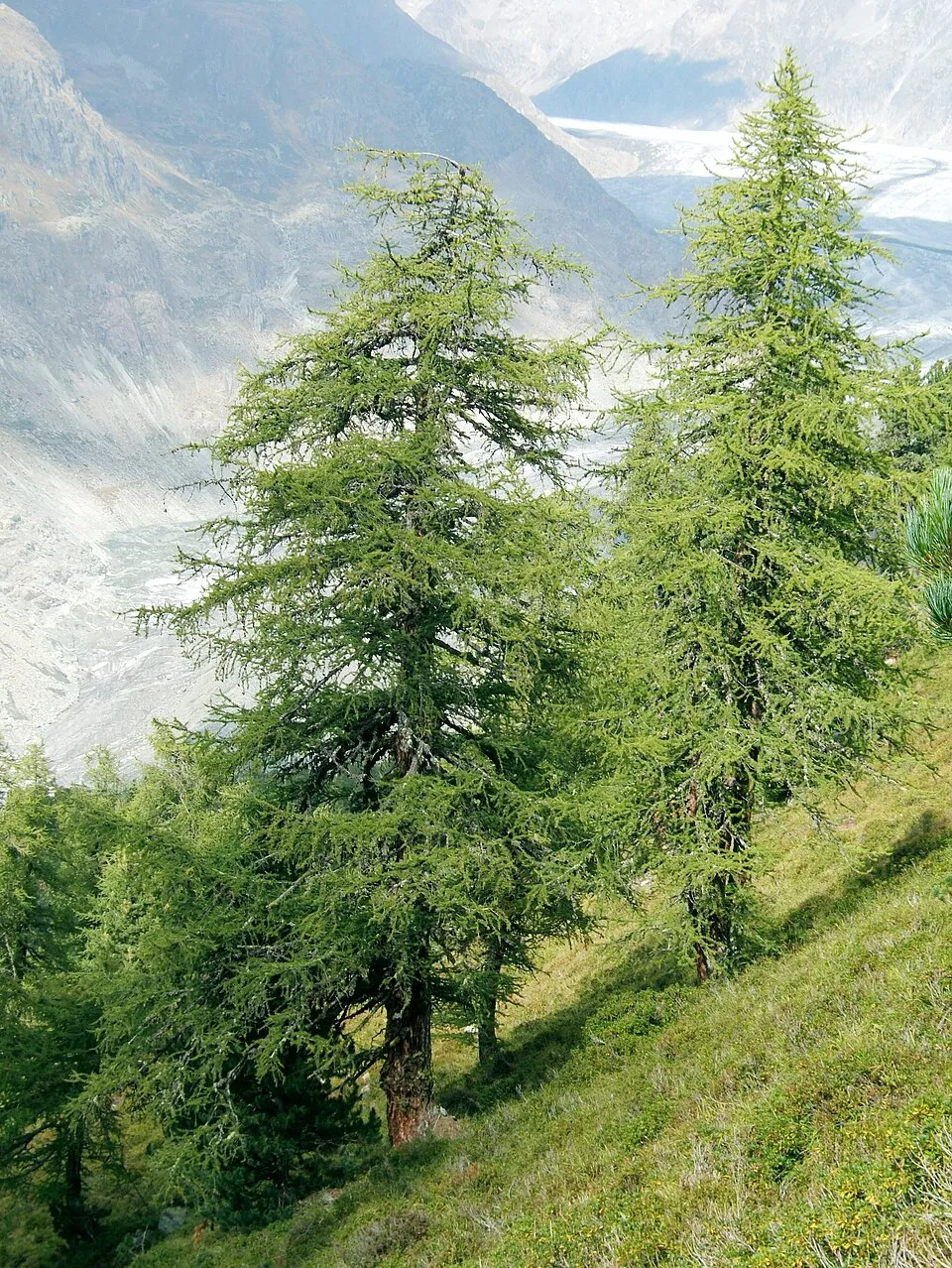
Among the species most often recorded on GBIF are Eryngium spinalba (Silver Eryngo), Larix decidua (European Larch), Hexaphylla allionii and Meta menardi (European Cave Spider).
What is the official website of Ligurian Alps Regional Nature Park?
© OpenStreetMap
Download the boundary: GeoJSON · GPX Boundary © OpenStreetMap contributors (ODbL).
Geography
The representative point of the site lies at around 1,147 m above sea level. Over the 1996–2025 period, the mean annual temperature is about 9.4 °C and total precipitation reaches roughly 1,152 mm per year. The warmest month is usually July, the coolest January, and the wettest November. According to the European 1:1 million geological map (EGDI), the bedrock consists mainly of marly limestones (63% of sampled points) and limestones (31%). These are mostly sedimentary rocks. The geological units date mainly from the Cretaceous (63% of sampled points).
Area
- Area
- 6,041 ha
- Elevation
- 1,147 m
- Median elevation
- 1,190 m
- Mean slope
- 26°
- Coordinates
- 44.0197, 7.7494
Terrain: Mapzen Terrain Tiles (SRTM, USGS)
Elevation bands
- 500–1,000 m 25%
- 1,000–1,500 m 56%
- 1,500–2,000 m 17%
- 2,000–2,500 m 1%
share of the site in each elevation band (smoothed terrain model: summits are rounded off) · Terrain: Mapzen Terrain Tiles (SRTM, USGS)
Bedrock
- Marly limestones 63 %
- Limestones 31 %
- Conglomerates and breccias 6 %
Sedimentary rocks 100 % · Main age: Cretaceous (63%)
Source: EGDI 1:1M geological map (EuroGeoSurveys and national geological surveys), CC BY 4.0 · 16 sampled points within the site.
Main summits
- Monte Frontè2,151 m
- Cima Garlenda2,141 m
- Monte Cimanasso2,085 m
- Cima Omo dell'Alpetta2,052 m
- Mont Grai2,013 m
- Cima di Pian Cavallo1,896 m
- Cima Cantalupo1,892 m
- Monte Monega1,887 m
- Poggio Fearia1,846 m
- Cima Caruetta1,837 m
Data © OpenStreetMap contributors (ODbL)
Climate
● Mean temperature (°C) · ▮ Precipitation (mm)
Source: Copernicus ERA5-Land (C3S, doi:10.24381/cds.68d2bb30), monthly averages 1996–2025 interpolated to the representative point, temperatures adjusted for elevation.
Contains modified Copernicus Climate Change Service information 2026. Neither the European Commission nor ECMWF is responsible for any use that may be made of the Copernicus information or data it contains.
Snow cover measured by satellite
J
F
M
A
M
J
J
A
S
O
N
D
average share of the site under snow · snowiest parts · ≈ 20 days a year
Snow cover: MODIS/Terra MOD10CM v61 (Hall & Riggs, 2021, NASA NSIDC DAAC, doi:10.5067/MODIS/MOD10CM.061), imagery from NASA GIBS (ESDIS); 2015–2025 average, grid of about 5 km.
Natural habitats
According to CORINE Land Cover (2018), the site is mainly made up of forests (77%), grassland and meadows (11%) and heath and scrub (7%). Woodland is mostly broadleaved. Elevation ranges from about 520 m to 2,151 m (highest point: Monte Frontè). Median elevation is 1,190 m, and 18% of the site lies above 1,500 m (SRTM elevation model). The terrain is steep: 33% of slopes exceed 30° (mean slope 26°). The 13 Natura 2000 sites overlapping the area list 27 habitats of European interest (5 priority), the most extensive being Luzulo-Fagetum beech forests, Castanea sativa woods and alpine and subalpine calcareous grasslands.
Biodiversity
Based on occurrences aggregated by GBIF, several species are regularly recorded within the site. Among the most frequent are Eryngium spinalba (Silver Eryngo), Larix decidua (European Larch), Hexaphylla allionii and Meta menardi (European Cave Spider). The full list of documented taxa is shown below. The overlapping Natura 2000 sites list 115 species of European interest: 70 birds, 22 mammals, 3 reptiles, 3 amphibians, 4 fish, 9 invertebrates and 4 plants.
Habitats of European interest
From the official forms of the 13 Natura 2000 sites overlapping the area (areas reported for each whole site).
- Luzulo-Fagetum beech forests 3,578 ha
- Castanea sativa woods 1,726 ha
- Alpine and subalpine calcareous grasslands 1,522 ha
- Alpine Larix decidua and/or Pinus cembra forests 1,343 ha
- Semi-natural dry grasslands and scrubland facies on calcareous substrates (Festuco-Brometalia) (* important orchid sites) 1,263 ha
- Eastern white oak woods priority 896 ha
- Quercus ilex and Quercus rotundifolia forests 532 ha
- Calcareous rocky slopes with chasmophytic vegetation 461 ha
and 19 more
Species of European interest
Birds · 70
Eurasian Goshawk (Accipiter gentilis) breeding, Eurasian Sparrowhawk (Accipiter nisus) breeding wintering passage resident, Long-tailed Tit (Aegithalos caudatus) wintering breeding, Boreal Owl (Aegolius funereus) resident, Eurasian Skylark (Alauda arvensis) breeding, Rock Partridge (Alectoris graeca saxatilis) resident, Water Pipit (Anthus spinoletta) wintering breeding resident, Tree Pipit (Anthus trivialis) breeding passage, Golden Eagle (Aquila chrysaetos) resident, Eurasian Eagle-owl (Bubo bubo) resident, Common Buzzard (Buteo buteo) breeding wintering passage resident, European Nightjar (Caprimulgus europaeus) breeding passage and 58 more
Mammals · 22
Barbastelle (Barbastella barbastellus), Grey wolf (Canis lupus), European wildcat (Felis silvestris), Mountain Hare (Lepus timidus), European pine marten (Martes martes), Hazel dormouse (Muscardinus avellanarius), Lesser mouse-eared myotis (Myotis blythii), Geoffroy's bat (Myotis emarginatus), Greater mouse-eared bat (Myotis myotis), Whiskered bat (Myotis mystacinus), Natterer's bat (Myotis nattereri), Lesser noctule (Nyctalus leisleri) and 10 more
Reptiles · 3
Smooth snake (Coronella austriaca), Western Whip Snake (Hierophis viridiflavus), Common wall lizard (Podarcis muralis)
Amphibians · 3
Agile frog (Rana dalmatina), Common frog (Rana temporaria), North-west Italian cave salamander (Speleomantes strinatii)
Fish · 4
Brook barbel (Barbus caninus), European bullhead (Cottus gobio), Marble Trout (Salmo marmoratus), Italian Riffle Dace (Telestes muticellus)
Invertebrates · 9
White-clawed Crayfish (Austropotamobius pallipes), Marsh fritillary (Euphydryas aurinia), Jersey Tiger (Euplagia quadripunctaria), Stag beetle (Lucanus cervus), Southern Swallowtail (Papilio alexanor), Apollo (Parnassius apollo), Clouded apollo (Parnassius mnemosyne), Willowherb Hawkmoth (Proserpinus proserpina), Rosalia longicorn (Rosalia alpina)
Plants · 4
Aquilegia reuteri, Mountain arnica (Arnica montana), Gentiana ligustica, Great Yellow Gentian (Gentiana lutea)
Source: Natura 2000 standard data forms (EEA, CC-BY 4.0). Not exhaustive: sensitive species are not published.
Species to look out for



Observed species
Occurrences documented via GBIF; they are neither an exhaustive inventory nor proof of current presence.
- Silver Eryngo · Eryngium spinalba · 113
- European Larch · Larix decidua · 88
- Hexaphylla allionii · 61
- European Cave Spider · Meta menardi · 61
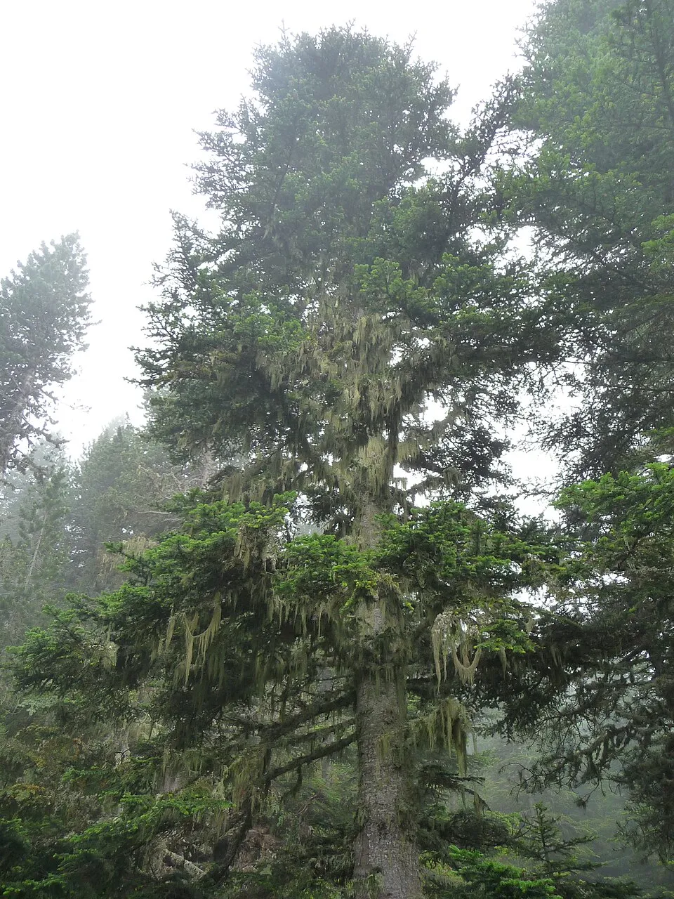
- Silver Fir · Abies alba · 50
- Eurasian Chaffinch · Fringilla coelebs · 46
- Coal tit · Periparus ater · 41
- Scots Pine · Pinus sylvestris · 41
- European Goldfinch · Carduelis carduelis · 40
- Blue oat grass · Helictotrichon sempervirens · 39
- Alpenrose · Rhododendron ferrugineum · 38
- Gentiana ligustica · 38
+18 more species
- Ash-coloured Broom · Genista cinerea · 36
- European robin · Erithacus rubecula · 31
- Snow-white Wood-rush · Luzula nivea · 30
- Roe deer · Capreolus capreolus · 30
- Thick-leaved Saxifrage · Saxifraga callosa · 30
- Blue moor grass · Sesleria caerulea · 29
- Raspberry · Rubus idaeus · 28
- Saxifraga cochlearis · 27
- Male fern · Dryopteris filix-mas · 27
- Patzkea paniculata · 27
- European Crested Tit · Lophophanes cristatus · 26
- Mistle Thrush · Turdus viscivorus · 26
- Grey wolf · Canis lupus · 26
- Eurasian Jay · Garrulus glandarius · 26
- Heath false brome · Brachypodium pinnatum · 26
- Northern Raven · Corvus corax · 25
- Common Chiffchaff · Phylloscopus collybita · 25
- Common Juniper · Juniperus communis · 25
Records: GBIF.org (CC-BY). Names: Wikidata (CC0), GBIF. Photos: Wikimedia Commons.
Conservation challenges
The primary purpose of the site is to preserve its natural habitats and the biodiversity they support. The species recorded (Biodiversity tab) reflect its ecological value. The designations it holds frame its management and the control of land use.
According to Global Forest Change data (University of Maryland, Global Forest Watch), about 63 ha of tree cover were lost within the boundary between 2001 and 2023 (1% of its area), peaking in 2003 and 2018. These losses include logging, storms and fires, and do not account for regrowth. According to the European CORINE Land Cover inventory (Copernicus), land cover changed on about 106 ha of the site between 1990 and 2018 (under 1% of its area): farmland shrank by 106 ha, mostly giving way to forest, while forest grew by 106 ha, mostly at the expense of farmland. Forest felling and regrowth add about 150 ha in total over the period. Since 2016, the European EFFIS system (Copernicus) has mapped 3 fires here, burning about 176 ha within the boundary; the largest, in January 2017 (near Prelà), covered 144 ha. At night, the area gives off virtually no artificial light detectable from space (NASA VIIRS Black Marble composite, 2016). According to the Natura 2000 forms, of 20 assessed habitats of European interest, 6 are in excellent condition and 3 in average or reduced condition.
Pressure indicators
Tree cover lost
63 ha
2001–2023 · 1% of the area
20012023
Fires since 2016
176 ha
burned within the boundary (3 mapped fires)
- 2017 · Prelà · 144 ha
- 2026 · Rezzo · 25 ha
- 2023 · Montalto Carpasio · 7 ha
Light at night
< 1%
of the area gives off artificial light visible from space
DarkLit
Land cover change
106 ha
changed cover, 1990–2018 · CORINE · < 1% of the area
- −106 ha · farmland
- +106 ha · forest
forest felling and regrowth: 150 ha in total
Invasive alien species
2
recorded since 2000
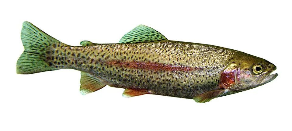 Rainbow trout
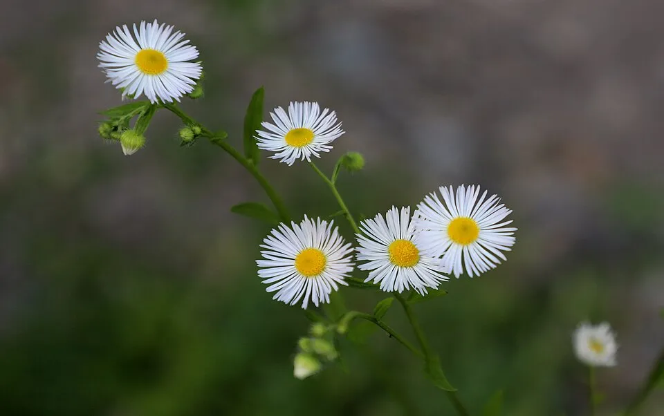 Eastern daisy fleabane
Photos: Rainbow trout © Jonathunder · CC BY-SA 3.0; Eastern daisy fleabane © W. Bulach · CC BY-SA 4.0
Sources: Global Forest Change (Hansen et al., University of Maryland, via Global Forest Watch, CC-BY 4.0); EFFIS, European Commission / Copernicus; NASA Black Marble 2016 (public domain); CORINE Land Cover 2018 (Copernicus) or MODIS.
CORINE Land Cover Change 1990–2018: generated using European Union's Copernicus Land Monitoring Service information (EEA), aggregated by Parkavela; DOI 10.2909/f30f1000-7cf8-43bb-872c-5eb093911b24.
Invasive alien species: Global Register of Introduced and Invasive Species (ISSG, CC BY 4.0); Union list, Regulation (EU) 1143/2014 (INBO, CC0); GBIF.org records (CC0 / CC BY 4.0), at least 2 per species.
Practical information
Cities and airport
- Sanremo
10 km as the crow flies - Cuneo
32 km as the crow flies - Airport: Cuneo (CUF)
46 km as the crow flies
Visitor information
- Sede Parco Alpi Liguri
2 km from the site boundary - Pro Loco Molini
1 km from the site boundary - Pro Triora
1 km from the site boundary - IAT Mendatica
2 km from the site boundary
Things to see
3 viewpoints · 1 lake or pond · 3 caves
- Lago di Tenarda
lake or pond - Arma Cornarea
cave · 1,040 m - Arma Ciosa
cave
Where to stay
2 mountain huts
- Rifugio Monte Grai - Silvio Lepanto
Unstaffed hut · 1,920 m - Rifugio Allavena
Staffed hut · 1,545 m
Hiking
42 waymarked routes listed
Data © OpenStreetMap contributors (ODbL) · Wikidata (CC0)
Waymarked hiking routes
381 Sentiero del Parco delle Alpi Liguri - Valle Arroscia e Giara di Rezzo
26.1 km within the site ↗ 282 m↘ 937 m 963–1,729 m
up to T2 · mountain hiking faint path in places
327 Unnamed route
3.7 km within the site ↗ 35 m↘ 162 m 579–729 m
up to T2 · mountain hiking
297 AM2 - Alpi Mare 2
4.8 km within the site ↗ 79 m↘ 242 m 1,195–1,393 m
up to T2 · mountain hiking
328 Anello dei Forti di Nava
9.1 km within the site ↗ 597 m↘ 407 m 905–1,457 m
218 Anello Borghi Valle Carpasina
3 km within the site ↗ 37 m↘ 114 m 609–722 m
319 Anello delle Malghe
9.5 km within the site ↗ 745 m↘ 149 m 1,050–1,649 m
325 Tappa11-P.so Pianlatte-Rezzo
12.4 km within the site ↗ 25 m↘ 962 m 765–1,713 m
up to T2 · mountain hiking
Tracks © OpenStreetMap contributors (ODbL), clipped to the boundary; elevation gain and profiles computed on the longest section from Mapzen Terrain Tiles (≈ 30 m), indicative only. Indicative difficulty (SAC scale, OpenStreetMap, via Waymarked Trails): check with the park.
Access and visiting
The nearest railway station is La Brigue, about 6 km from the site boundary. Nearest towns of over 50,000 people, as the crow flies: Sanremo (10 km) and Cuneo (32 km). Nearest airport: Cuneo (CUF), about 46 km away. About 230,000 people live within 20 km of the site boundary, 70,000 of them within 10 km; some 280 people are estimated to live inside (GHSL estimate, 2020). Visitor information on site: Sede Parco Alpi Liguri, Pro Loco Molini and Pro Triora. Waymarked hiking routes listed in OpenStreetMap: 42. To see: 3 viewpoints, 1 lake or pond and 3 caves, including Lago di Tenarda, Arma Cornarea (1,040 m) and Arma Ciosa. Where to stay: 2 mountain huts, including Rifugio Monte Grai - Silvio Lepanto (1,920 m) and Rifugio Allavena (1,545 m). To plan a visit (access, opening periods, visitor rules), it is best to consult the official information from the managing body and the official website listed in this page's sources.
Source: OpenStreetMap (ODbL), Wikidata (CC0), October 2026.
Built heritage
1 historic monument
-
San Giovanni Evangelista
Molini di Triora · 17th c.
Source: Wikidata (CC0), monuments in each country’s official heritage protection registers, at national or regional level. Each item links to its Wikidata entry.
When to visit
Best time to visit: from May to October, with average temperatures of 10 to 19 °C and moderate rainfall. Precipitation peaks in November (up to 140 mm per month). These averages apply to the site's representative point (1,147 m); higher up it is markedly cooler and snow lasts longer. Snow only makes brief appearances in winter (about 20 days a year on average, MODIS satellites 2015–2025). Day length ranges from about 8 h 54 min in December to 15 h 28 min in June. Wildlife records published on GBIF peak for birds (June), plants (June and July), butterflies and moths (from June to August), dragonflies (July and August) and mammals (from March to September). These peaks also reflect when observers are most active.
Source: Copernicus ERA5-Land (C3S), monthly averages 1996–2025 at the representative point, temperatures adjusted for elevation.
Contains modified Copernicus Climate Change Service information 2026. Neither the European Commission nor ECMWF is responsible for any use that may be made of the Copernicus information or data it contains.
Wildlife records calendar
JFMAMJJASOND
Birds
Plants
Butterflies & moths
Dragonflies
Mammals
Monthly records published on GBIF (CC-BY), relative to the busiest month; also reflects observer activity.
Gallery
© Pampuco · CC BY-SA 4.0
© Pampuco · CC BY-SA 4.0
© Jk4u59 · Public domain
© Gemma Burgazzi · CC BY-SA 4.0
© N.Longo · CC BY-SA 4.0
© GrazianoU · CC BY 3.0
Sources and licences
- Wikidata: Q3895678
- OpenStreetMap: relation 11734820
- Official website: http://parconaturalealpiliguri.it/
- Wikipedia: en.wikipedia.org/wiki/Regional_Natural_Park_of_the_Ligurian_Alps
References
- cds.climate.copernicus.eu: climate · CC-BY-4.0
- registry.opendata.aws: elevation of the reference point, detailed relief · PD
- land.copernicus.eu: land cover, land cover change, sea share · COPERNICUS
- doi.org: population around the site · CC-BY-4.0
- wikidata.org: official area, establishment date, nearby cities and airport, access and peaks, lake depths, places to see, official website · CC0-1.0
- eea.europa.eu: bathing water quality, ecological status of waters · CC-BY-4.0
- en.eurovelo.com: EuroVelo cycle routes · ODbL-1.0
- cycling.waymarkedtrails.org: cycle routes · ODbL-1.0
- opentopodata.org: elevations · PD
- forest-fire.emergency.copernicus.eu: wildfires · COPERNICUS
- globalforestwatch.org: tree cover loss · CC-BY-4.0
- gbif.org: seasonality of sightings, invasive alien species, observed species · CC-BY-4.0
- europe-geology.eu: geology · CC-BY-4.0
- pop.culture.gouv.fr: protected heritage · LO-2.0
- hydrosheds.org: lakes · CC-BY-4.0
- natura2000.eea.europa.eu: Natura 2000 habitats and species · CC-BY-4.0
- openstreetmap.org: official name, access and peaks, places to see · ODbL-1.0
- earthobservatory.nasa.gov: night light · PD
- hiking.waymarkedtrails.org: route difficulty · ODbL-1.0
- nsidc.org: snow cover · PD
- wikidata.org: Wikipedia article · CC-BY-SA-4.0
Data © OpenStreetMap contributors (ODbL), Wikidata (CC0) and the sources cited.