Austria · Terrestrial
Heidenreichstein Bog Nature Park
Nature park of 31 hectares in Austria, established in 1989.
Overview
Nature park of 31 hectares in Austria, established in 1989.
Heidenreichstein Bog Nature Park is located in Austria (Europe). It is a predominantly terrestrial area. Established in 1989, it covers about 31 hectares.
Protections and designations
Natura 2000 · habitats (SAC)
Protected as a nature park. International labels and designations: Natura 2000 network (1 site: “Waldviertler Teich-, Heide- und Moorlandschaft”). Key dates: established in 1989 and first Natura 2000 site under the Habitats Directive in 2011.
In our collections
Timeline
-
1989
Established
-
2011
First Natura 2000 site under the Habitats Directive
Sources: Wikidata (CC0) for establishment and international labels; EEA Natura 2000 database (CC-BY 4.0) for site designation dates.
Frequently asked questions
Where is Heidenreichstein Bog Nature Park?
In Austria (Europe). Representative point: 48.8514° N, 15.1444° E.
How large is Heidenreichstein Bog Nature Park?
About 31 hectares. It is the 20th largest of the 21 nature parks in Austria covered by Parkavela.
When was Heidenreichstein Bog Nature Park established?
In 1989.
What habitats and landscapes does Heidenreichstein Bog Nature Park include?
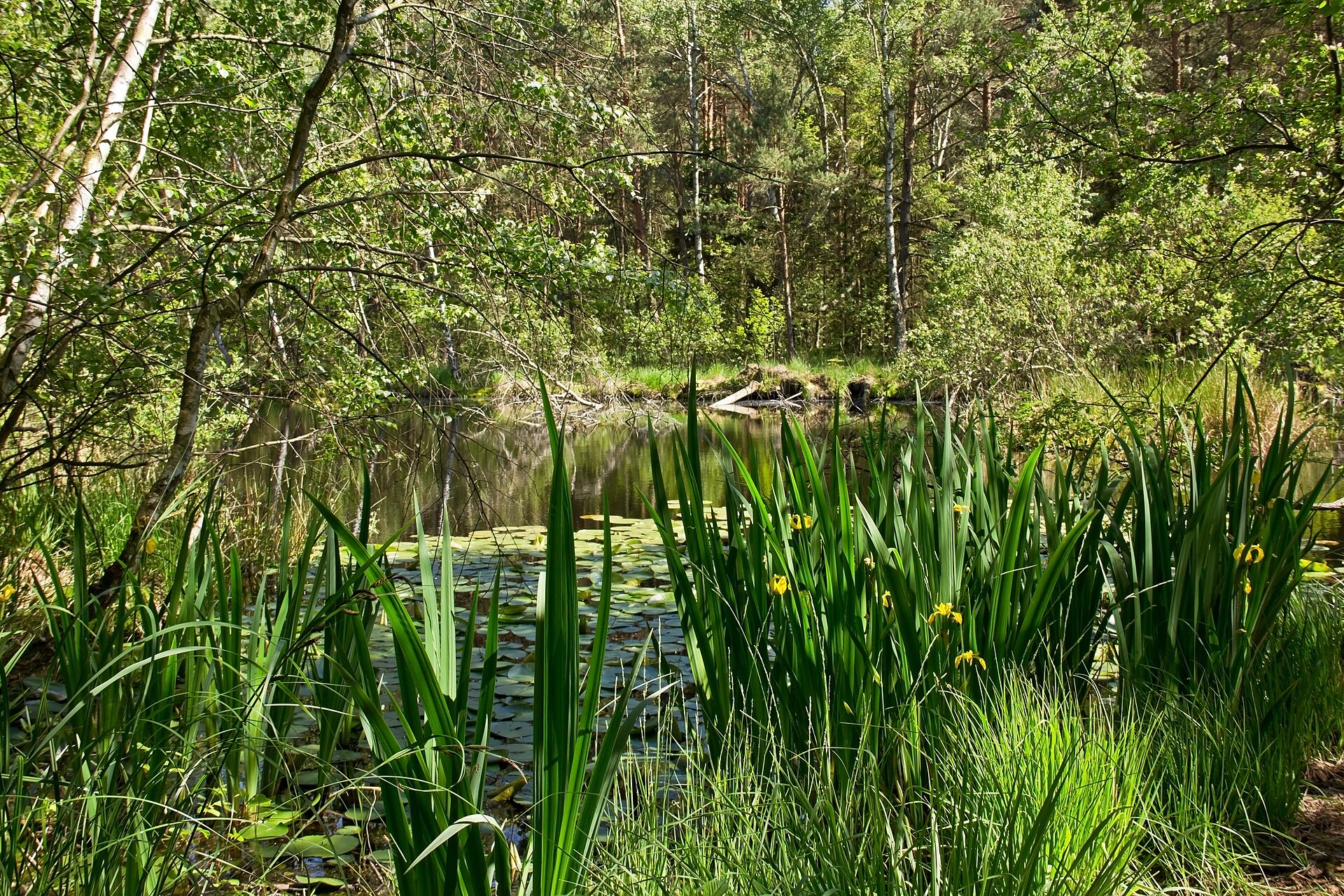
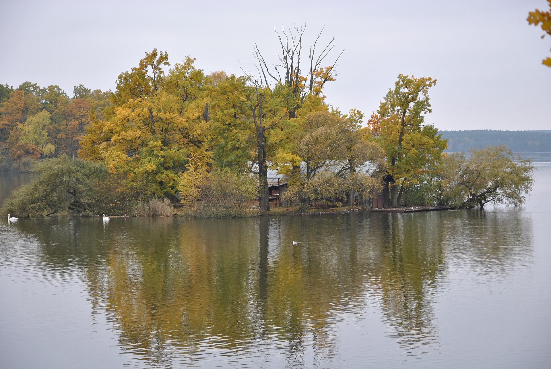
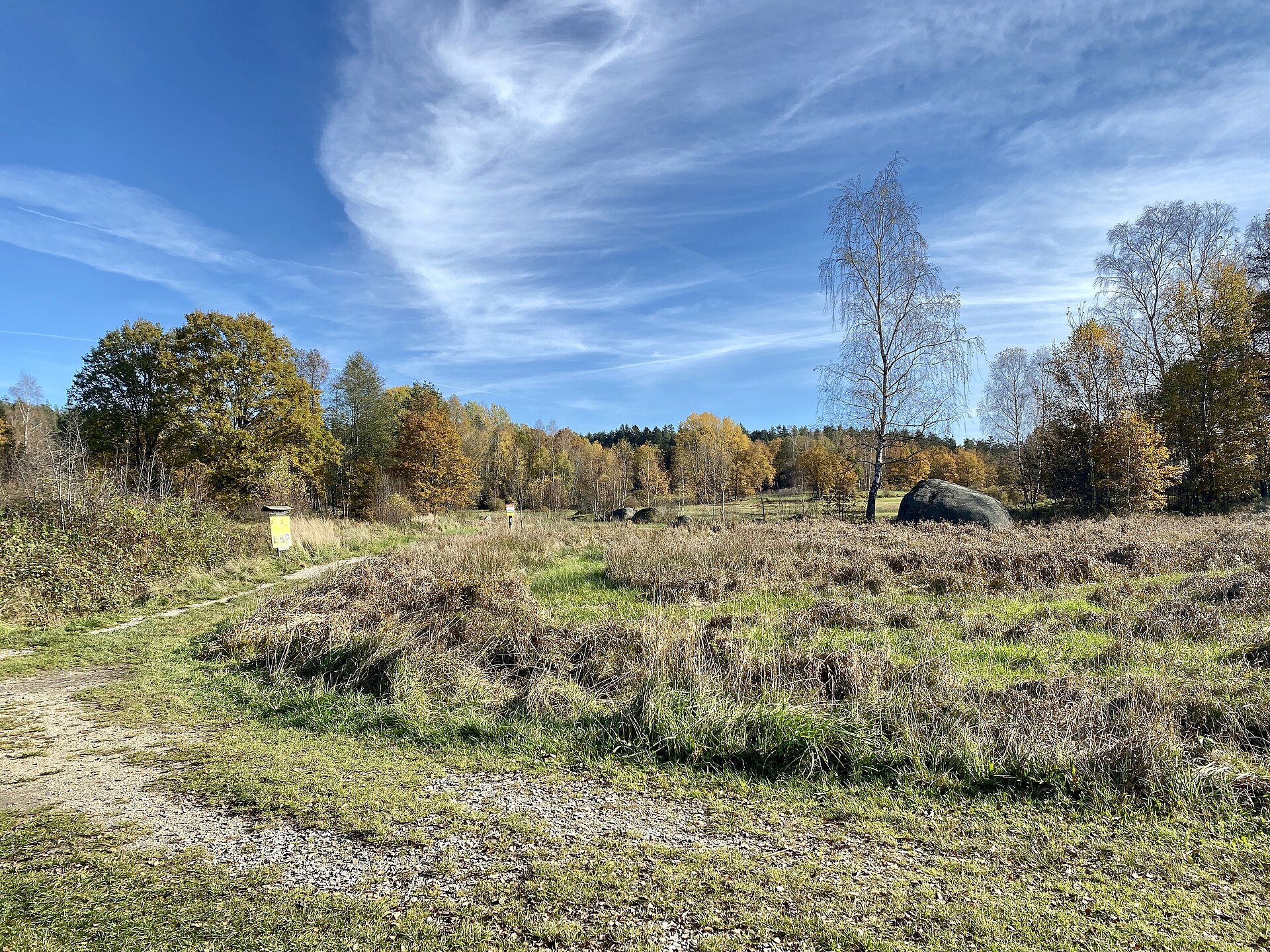
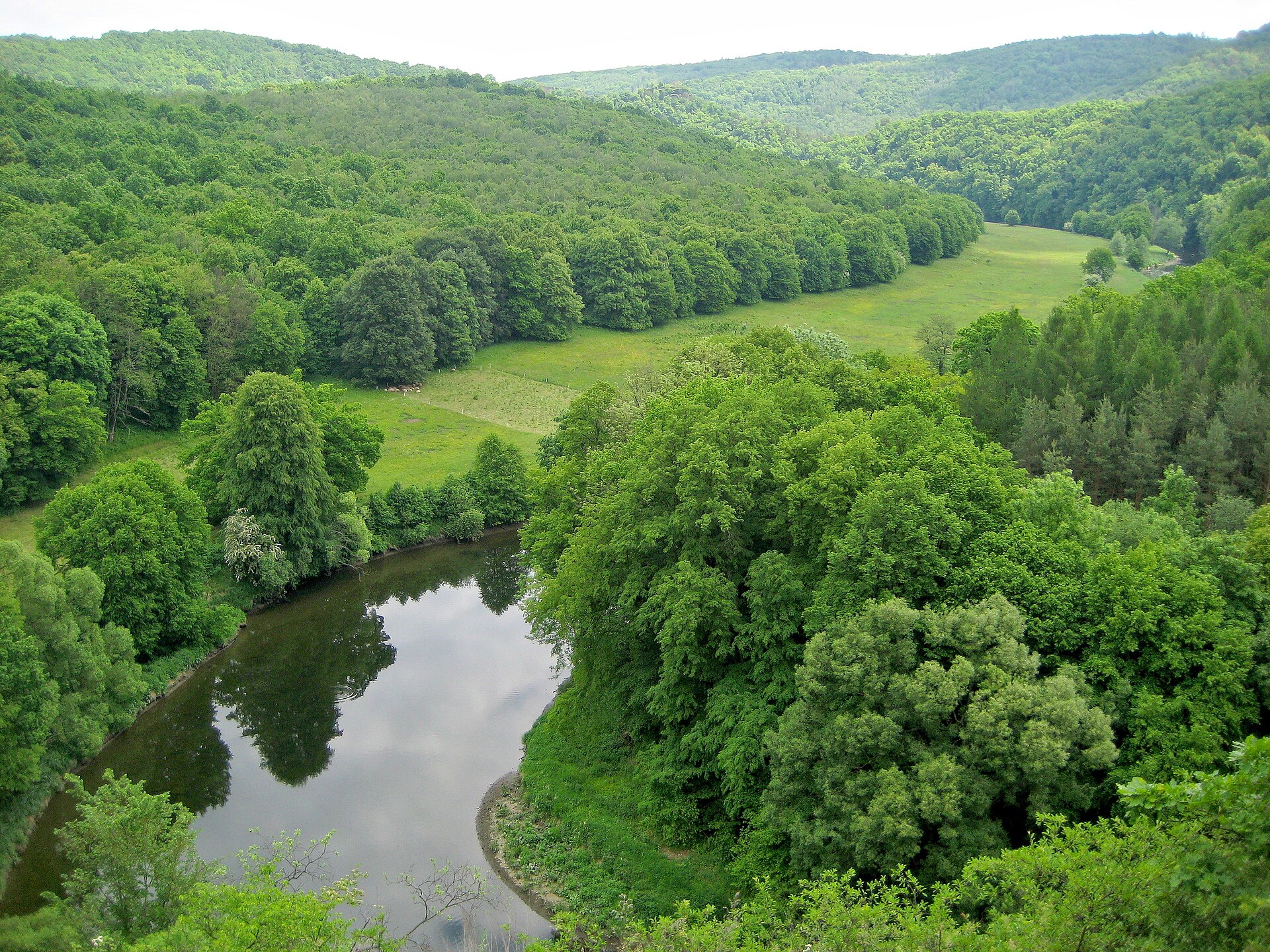
A terrestrial area, with forests.
What rocks lie beneath Heidenreichstein Bog Nature Park?
According to the European 1:1 million geological map (EGDI), the bedrock consists mainly of granites (100% of sampled points). These are mostly igneous rocks. The geological units date mainly from the Paleozoic (100% of sampled points).
Which international labels apply to Heidenreichstein Bog Nature Park?
Natura 2000 network (1 site: “Waldviertler Teich-, Heide- und Moorlandschaft”).
When is the best time to visit Heidenreichstein Bog Nature Park?
Mildest period: from June to August, with average temperatures of 16 to 18 °C.
Is there snow in Heidenreichstein Bog Nature Park?
Yes. According to NASA's MODIS satellites (2015–2025 average), snow covers most of the area in January, with about 50 snow-covered days a year on average.
What is the nearest large city to Heidenreichstein Bog Nature Park?
Nearest towns of over 50,000 people, as the crow flies: České Budějovice (50 km) and St. Pölten (80 km). Nearest airport: Linz (LNZ), about 98 km away.
How can I reach Heidenreichstein Bog Nature Park by train?
The nearest railway station is Pürbach-Schrems, about 10 km from the site boundary.
Are there waymarked hiking trails in Heidenreichstein Bog Nature Park?
Yes. Waymarked hiking routes listed in OpenStreetMap: 6.
Which species can be seen in Heidenreichstein Bog Nature Park?
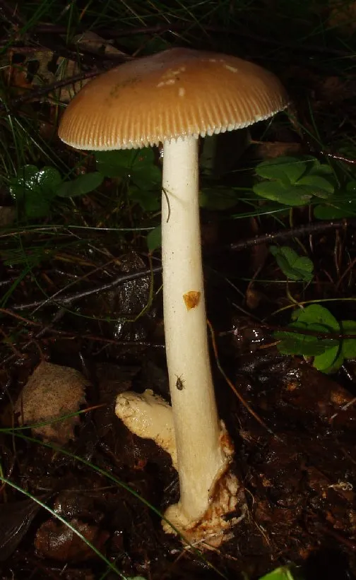
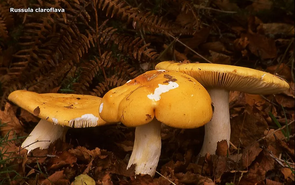
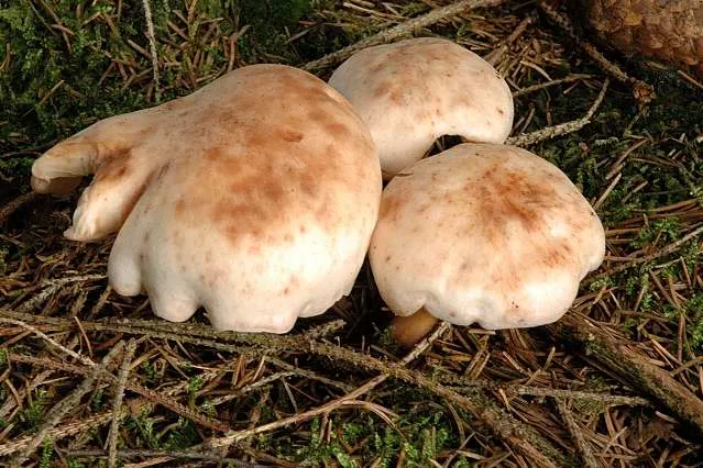
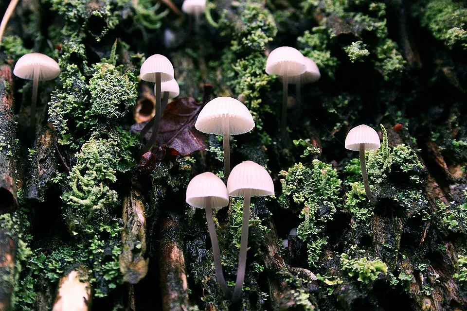
Among the species most often recorded on GBIF are Amanita fulva (Tawny Grisette), Russula claroflava (Yellow swamp brittlegill), Rhodocollybia maculata (Spotted Toughshank) and Mycena galopus (Milking Bonnet).
What is the official website of Heidenreichstein Bog Nature Park?
© OpenStreetMap
Download the boundary: GeoJSON · GPX Boundary © OpenStreetMap contributors (ODbL).
Geography
The representative point of the site lies at around 600 m above sea level. Over the 1996–2025 period, the mean annual temperature is about 8.2 °C and total precipitation reaches roughly 791 mm per year. The warmest month is usually July, the coolest January, and the wettest July. According to the European 1:1 million geological map (EGDI), the bedrock consists mainly of granites (100% of sampled points). These are mostly igneous rocks. The geological units date mainly from the Paleozoic (100% of sampled points).
Area
- Area
- 30.6 ha
- Elevation
- 600 m
- Median elevation
- 600 m
- Snow cover
- ≈ 50 days a year
- Coordinates
- 48.8514, 15.1444
Terrain: Mapzen Terrain Tiles (SRTM, USGS; © offene Daten Österreichs – Digitales Geländemodell (DGM) Österreich, CC BY 3.0 AT)
Bedrock
- Granites 100 %
Igneous rocks 100 % · Main age: Paleozoic (100%)
Source: EGDI 1:1M geological map (EuroGeoSurveys and national geological surveys), CC BY 4.0 · 16 sampled points within the site.
Climate
● Mean temperature (°C) · ▮ Precipitation (mm)
Source: Copernicus ERA5-Land (C3S, doi:10.24381/cds.68d2bb30), monthly averages 1996–2025 interpolated to the representative point, temperatures adjusted for elevation.
Contains modified Copernicus Climate Change Service information 2026. Neither the European Commission nor ECMWF is responsible for any use that may be made of the Copernicus information or data it contains.
Snow cover measured by satellite
J
F
M
A
M
J
J
A
S
O
N
D
average share of the area under snow · snowiest parts · ≈ 50 days a year
Snow cover: MODIS/Terra MOD10CM v61 (Hall & Riggs, 2021, NASA NSIDC DAAC, doi:10.5067/MODIS/MOD10CM.061), imagery from NASA GIBS (ESDIS); 2015–2025 average, grid of about 5 km.
Natural habitats
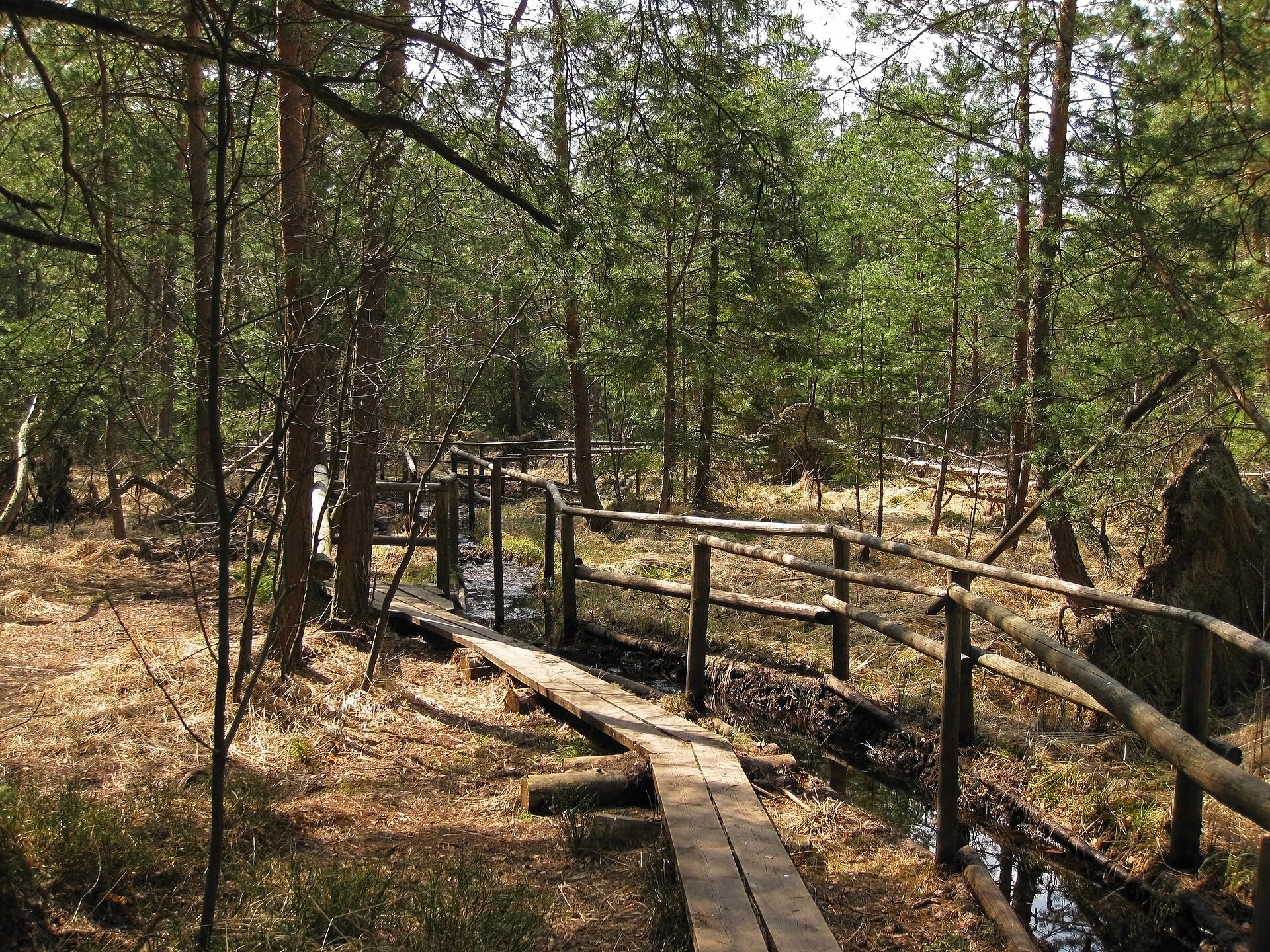
According to CORINE Land Cover (2018), the site is mainly made up of forests (87%) and farmland (9%). Woodland is mostly coniferous. The land is almost flat (mean slope under 2°). The Natura 2000 site overlapping the area lists 31 habitats of European interest (7 priority), the most extensive being lowland hay meadows (Alopecurus pratensis, Sanguisorba officinalis), oligotrophic to mesotrophic standing waters with vegetation of the Littorelletea uniflorae and/or of the Isoëto-Nanojuncetea and alluvial forests with Alnus glutinosa and Fraxinus excelsior (Alno-Padion, Alnion incanae, Salicion albae).
Biodiversity
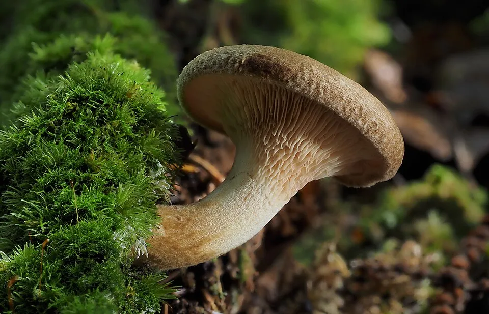
Based on occurrences aggregated by GBIF, several species are regularly recorded within the site. Among the most frequent are Amanita fulva (Tawny Grisette), Russula claroflava (Yellow swamp brittlegill), Rhodocollybia maculata (Spotted Toughshank) and Mycena galopus (Milking Bonnet). The full list of documented taxa is shown below. The overlapping Natura 2000 site lists 67 species of European interest: 19 mammals, 3 reptiles, 11 amphibians, 9 fish, 14 invertebrates and 11 plants.
Habitats of European interest
From the official form of the Natura 2000 site overlapping the area (areas reported for the whole site).
- Lowland hay meadows (Alopecurus pratensis, Sanguisorba officinalis) 480 ha
- Oligotrophic to mesotrophic standing waters with vegetation of the Littorelletea uniflorae and/or of the Isoëto-Nanojuncetea 346 ha
- Alluvial forests with Alnus glutinosa and Fraxinus excelsior (Alno-Padion, Alnion incanae, Salicion albae) priority 342 ha
- Bog woodland priority 302 ha
- Tilio-Acerion forests of slopes, screes and ravines priority 136 ha
- Asperulo-Fagetum beech forests 121 ha
- Degraded raised bogs still capable of natural regeneration 92 ha
- Species-rich Nardus grasslands, on silicious substrates in mountain areas (and submountain areas in Continental Europe) priority 91 ha
and 23 more
Species of European interest
Mammals · 19
Barbastelle (Barbastella barbastellus), Grey wolf (Canis lupus), Northern Bat (Eptesicus nilssonii), Serotine bat (Eptesicus serotinus), Savi's Pipistrelle (Hypsugo savii), Eurasian otter (Lutra lutra), Eurasian Lynx (Lynx lynx), European pine marten (Martes martes), Western Polecat (Mustela putorius), Daubenton's bat (Myotis daubentonii), Greater mouse-eared bat (Myotis myotis), Whiskered bat (Myotis mystacinus) and 7 more
Reptiles · 3
Smooth snake (Coronella austriaca), Sand lizard (Lacerta agilis), Dice snake (Natrix tessellata)
Amphibians · 11
European fire-bellied toad (Bombina bombina), Yellow-bellied toad (Bombina variegata), Natterjack toad (Epidalea calamita), Common tree frog (Hyla arborea), Common Spadefoot (Pelobates fuscus), Edible Frog (Pelophylax esculenta), Pool frog (Pelophylax lessonae), Moor frog (Rana arvalis), Agile frog (Rana dalmatina), Common frog (Rana temporaria), Great crested newt (Triturus cristatus)
Fish · 9
Asp (Aspius aspius), Barbel (Barbus barbus), Spined Loach (Cobitis taenia Complex), European bullhead (Cottus gobio), Ukrainian brook lamprey (Eudontomyzon mariae), European brook lamprey (Lampetra planeri), Weatherfish (Misgurnus fossilis), European bitterling (Rhodeus amarus), Grayling (Thymallus thymallus)
Invertebrates · 14
Noble crayfish (Astacus astacus), Carabus menetriesi pacholei, Eastern Eggar (Eriogaster catax), Scarce Fritillary (Euphydryas maturna), Jersey Tiger (Euplagia quadripunctaria), Roman Snail (Helix pomatia), Yellow-spotted Whiteface (Leucorrhinia pectoralis), Stag beetle (Lucanus cervus), Large copper (Lycaena dispar), Dusky Large Blue (Maculinea nausithous), Scarce large blue (Maculinea teleius), Freshwater pearl mussel (Margaritifera margaritifera) and 2 more
Plants · 11
Mountain arnica (Arnica montana), Ladder spleenwort (Asplenium adulterinum), Buxbaumia moss (Buxbaumia viridis), Mossgrass (Coleanthus subtilis), Dicranum moss (Dicranum viride), Snowdrop (Galanthus nivalis), Gentianella bohemica, Leucobryum moss (Leucobryum glaucum), Interrupted clubmoss (Lycopodium annotinum), Stag's-horn Clubmoss (Lycopodium clavatum subsp. clavatum), Sphagnum Mosses (Sphagnum spp.)
Source: Natura 2000 standard data forms (EEA, CC-BY 4.0). Not exhaustive: sensitive species are not published.
Species to look out for
Observed species
Occurrences documented via GBIF; they are neither an exhaustive inventory nor proof of current presence.
- Tawny Grisette · Amanita fulva · 10
- Yellow swamp brittlegill · Russula claroflava · 8
- Spotted Toughshank · Rhodocollybia maculata · 8
- Milking Bonnet · Mycena galopus · 8
- Brown Roll-rim · Paxillus involutus · 8
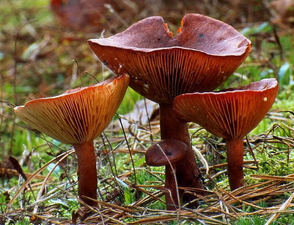
- Rufous Milkcap · Lactarius rufus · 8
- Bay Bolete · Imleria badia · 8
- Fly agaric · Amanita muscaria · 8
- Red-cracking Bolete · Xerocomellus chrysenteron · 7
- Orange Birch Bolete · Leccinum versipelle · 7
- Ghost Bolete · Leccinum holopus · 7
- Laccaria tetraspora · 7
+18 more species
- Bog Bell · Galerina paludosa · 7
- Russula atrorubens · 7
- Copper Brittlegill · Russula decolorans · 7
- Russet Toughshank · Gymnopus dryophilus · 7
- Fenugreek milkcap · Lactarius helvus · 7
- Sphagnum Greyling · Sphagnurus paluster · 7
- Velvet Bolete · Suillus variegatus · 7
- Birch polypore · Fomitopsis betulina · 7
- Trumpet Chanterelle · Craterellus tubaeformis · 6
- Star pinkgill · Entoloma conferendum · 6
- Common Earthball · Scleroderma citrinum · 6
- Birch Milkcap · Lactarius tabidus · 6
- Ugly Milkcap · Lactarius turpis · 6
- Ochre Brittlegill · Russula ochroleuca · 6
- Red Banded Webcap · Cortinarius armillatus · 6
- Yellow Stagshorn · Calocera viscosa · 6
- Brown Birch Bolete · Leccinum scabrum · 6
- Peppery Bolete · Chalciporus piperatus · 6
Records: GBIF.org (CC-BY). Names: Wikidata (CC0), GBIF. Photos: Wikimedia Commons.
Conservation challenges
The primary purpose of the site is to preserve its natural habitats and the biodiversity they support. The species recorded (Biodiversity tab) reflect its ecological value. The designations it holds frame its management and the control of land use.
At night, the area gives off virtually no artificial light detectable from space (NASA VIIRS Black Marble composite, 2016). According to the Natura 2000 forms, of 25 assessed habitats of European interest, 3 are in excellent condition and 7 in average or reduced condition.
Pressure indicators
Tree cover lost
2 ha
2001–2023 · 7% of the area
20012023
Fires since 2016
0
No large fire mapped (fires over about 30 ha)
Light at night
0%
of the area gives off artificial light visible from space
DarkLit
Sources: Global Forest Change (Hansen et al., University of Maryland, via Global Forest Watch, CC-BY 4.0); EFFIS, European Commission / Copernicus; NASA Black Marble 2016 (public domain); CORINE Land Cover 2018 (Copernicus) or MODIS.
Practical information
Cities and airport
- České Budějovice
50 km as the crow flies - St. Pölten
80 km as the crow flies - Airport: Linz (LNZ)
98 km as the crow flies
Hiking
6 waymarked routes listed
Data © OpenStreetMap contributors (ODbL) · Wikidata (CC0)
Access and visiting
The nearest railway station is Pürbach-Schrems, about 10 km from the site boundary. Nearest towns of over 50,000 people, as the crow flies: České Budějovice (50 km) and St. Pölten (80 km). Nearest airport: Linz (LNZ), about 98 km away. About 67,000 people live within 20 km of the site boundary, 19,000 of them within 10 km (GHSL estimate, 2020). This population has fallen by about 9% since 2000. Waymarked hiking routes listed in OpenStreetMap: 6. To plan a visit (access, opening periods, visitor rules), it is best to consult the official information from the managing body and the official website listed in this page's sources.
Source: OpenStreetMap (ODbL), Wikidata (CC0), October 2026.
When to visit
Mildest period: from June to August, with average temperatures of 16 to 18 °C. Average temperatures drop below 0 °C from December to February: frost is common. Precipitation peaks in June and July (up to 110 mm per month). According to NASA's MODIS satellites (2015–2025 average), snow covers most of the area in January, with about 50 snow-covered days a year on average. Day length ranges from about 8 h 16 min in December to 16 h 09 min in June. Wildlife records published on GBIF peak for plants (June) and butterflies and moths (June). These peaks also reflect when observers are most active.
Source: Copernicus ERA5-Land (C3S), monthly averages 1996–2025 at the representative point, temperatures adjusted for elevation.
Contains modified Copernicus Climate Change Service information 2026. Neither the European Commission nor ECMWF is responsible for any use that may be made of the Copernicus information or data it contains.
Wildlife records calendar
JFMAMJJASOND
Plants
Butterflies & moths
Monthly records published on GBIF (CC-BY), relative to the busiest month; also reflects observer activity.
Gallery
© Duke of W4 · CC BY-SA 3.0
© Einer flog zu Weit · CC BY 3.0
© Stefan.lefnaer · CC BY-SA 3.0
© Pfeifferfranz · CC BY-SA 3.0
© Duke of W4 · CC BY-SA 3.0
© Stefan.lefnaer · CC BY-SA 3.0
Sources and licences
- Wikidata: Q1752949
- OpenStreetMap: relation 12414507
- Official website: https://www.naturpark-heidenreichsteiner-moor.at/
- Wikipedia: de.wikipedia.org/wiki/Naturpark_Heidenreichsteiner_Moor
- WDPA: 102886
References
- cds.climate.copernicus.eu: climate · CC-BY-4.0
- registry.opendata.aws: elevation of the reference point, detailed relief · CC-BY-3.0
- land.copernicus.eu: land cover, land cover change, sea share · COPERNICUS
- doi.org: population around the site · CC-BY-4.0
- wikidata.org: official area, establishment date, protected heritage, nearby cities and airport, access and peaks, lake depths, places to see, official website · CC0-1.0
- eea.europa.eu: bathing water quality, ecological status of waters · CC-BY-4.0
- en.eurovelo.com: EuroVelo cycle routes · ODbL-1.0
- cycling.waymarkedtrails.org: cycle routes · ODbL-1.0
- opentopodata.org: elevations · PD
- forest-fire.emergency.copernicus.eu: wildfires · COPERNICUS
- globalforestwatch.org: tree cover loss · CC-BY-4.0
- gbif.org: seasonality of sightings, invasive alien species, observed species · CC-BY-4.0
- europe-geology.eu: geology · CC-BY-4.0
- hydrosheds.org: lakes · CC-BY-4.0
- natura2000.eea.europa.eu: Natura 2000 habitats and species · CC-BY-4.0
- openstreetmap.org: official name, access and peaks, trail difficulty, wheelchair access · ODbL-1.0
- earthobservatory.nasa.gov: night light · PD
- nsidc.org: snow cover · PD
- wikidata.org: Wikipedia article · CC-BY-SA-4.0
Data © OpenStreetMap contributors (ODbL), Wikidata (CC0) and the sources cited.