Austria · Terrestrial
Thayatal National Park
National park of 1,330 hectares in Austria, established in 2000.
Overview
National park of 1,330 hectares in Austria, established in 2000.
Thayatal National Park is located in Austria (Europe). It is a predominantly terrestrial area. Established on 1 January 2000, it covers about 1,330 hectares.
Protections and designations
Natura 2000 · habitats (SAC)
- Thayatal bei Hardegg AT1208A00
Protected as a national park. International labels and designations: Natura 2000 network (1 site: “Thayatal bei Hardegg”). Key dates: established in 2000 and first Natura 2000 site under the Habitats Directive in 2011.
In our collections
Timeline
-
2000
Established
-
2011
First Natura 2000 site under the Habitats Directive
Sources: Wikidata (CC0) for establishment and international labels; EEA Natura 2000 database (CC-BY 4.0) for site designation dates.
Frequently asked questions
Where is Thayatal National Park?
In Austria (Europe). Representative point: 48.8522° N, 15.8633° E.
How large is Thayatal National Park?
About 1,330 hectares (13 km²). It is the 6th largest of the 6 national parks in Austria covered by Parkavela.
When was Thayatal National Park established?
On 1 January 2000.
What habitats and landscapes does Thayatal National Park include?
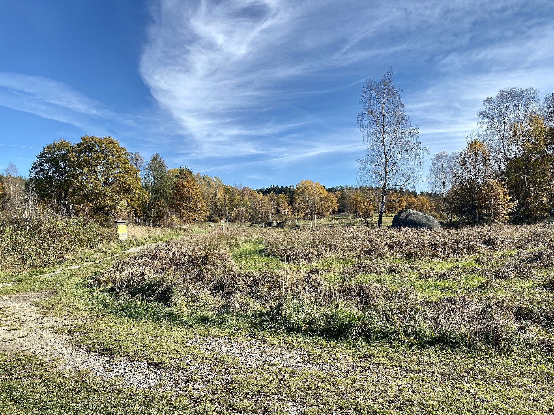
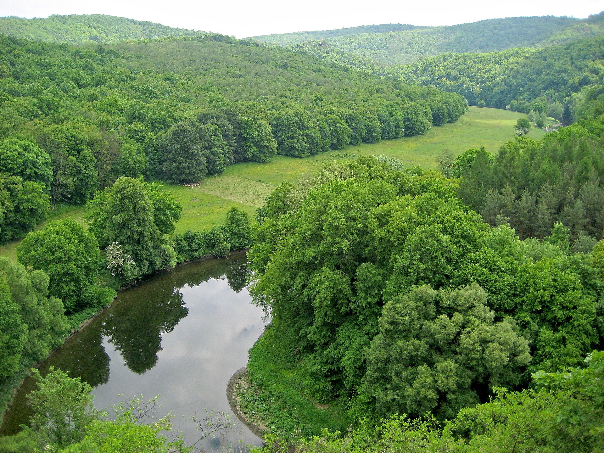
A terrestrial area, with forests.
What rocks lie beneath Thayatal National Park?
According to the European 1:1 million geological map (EGDI), the bedrock consists mainly of granites (63% of sampled points), mica schists (19%) and gneiss (13%). These are mostly igneous rocks. The geological units date mainly from the Precambrian (81% of sampled points).
What are the main summits of Thayatal National Park?
Binderberg (448 m), Max-Plateau (417 m), Schoberberg (398 m) and Umlaufberg (378 m) (OpenStreetMap).
Which international labels apply to Thayatal National Park?
Natura 2000 network (1 site: “Thayatal bei Hardegg”).
When is the best time to visit Thayatal National Park?
Mildest period: from June to August, with average temperatures of 18 to 21 °C.
Are there historic monuments in Thayatal National Park?
Yes. According to Wikidata, 12 monuments listed as protected monuments in Austria stand within the boundary. For example: “Hardegg Karner” in Hardegg, “Hardegg Castle” in Hardegg and “Kaja Castle Ruins” in Hardegg.
What is the nearest large city to Thayatal National Park?
Nearest towns of over 50,000 people, as the crow flies: Jihlava (61 km) and St. Pölten (72 km). Nearest airport: Wien-Schwechat (VIE), about 91 km away.
How can I reach Thayatal National Park by train?
The nearest railway station is Niederfladnitz, about 3 km from the site boundary.
Where can I get visitor information on site?
Info centrum NP Podyjí, Srub Správy NP Podyjí and Nationalparkhaus Thayatal.
Are there waymarked hiking trails in Thayatal National Park?
Yes. Waymarked hiking routes listed in OpenStreetMap: 14, including E 8, Ostösterreichischer Grenzlandweg, Thayatalwanderweg and NÖ Landesrundwanderweg. The “Europäischer Fernwanderweg E8 - Österreich” route runs for about 9 km through the site, with some 90 m of ascent on its longest section.
Which species can be seen in Thayatal National Park?
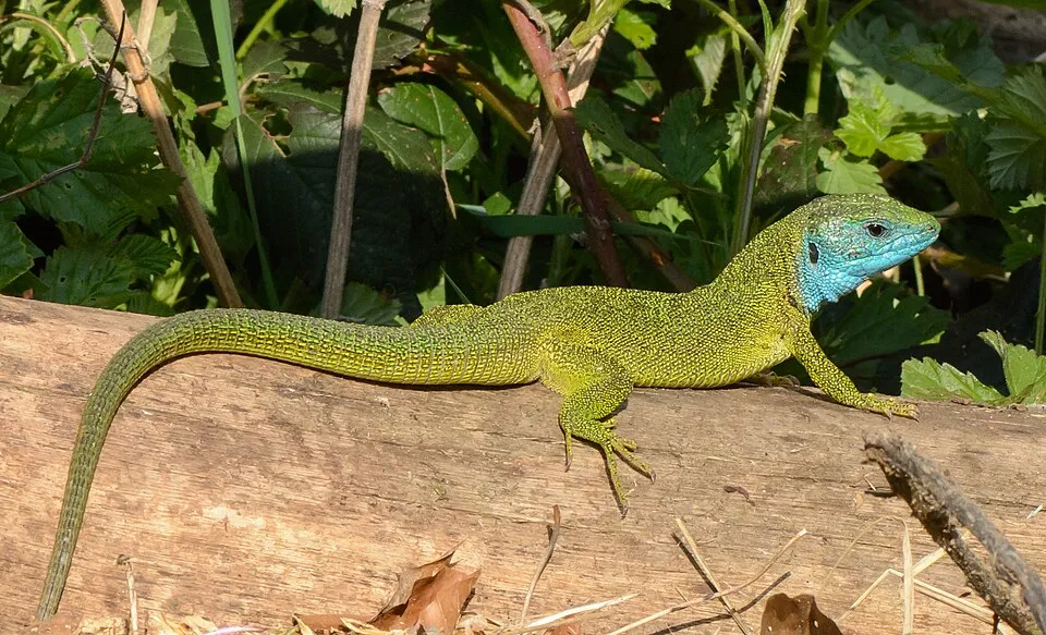
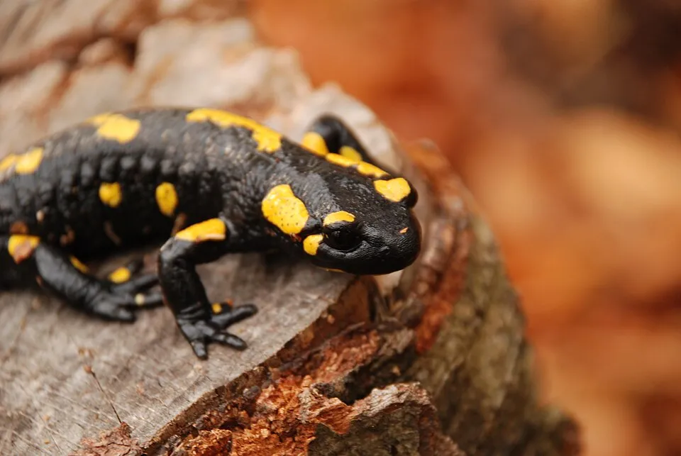
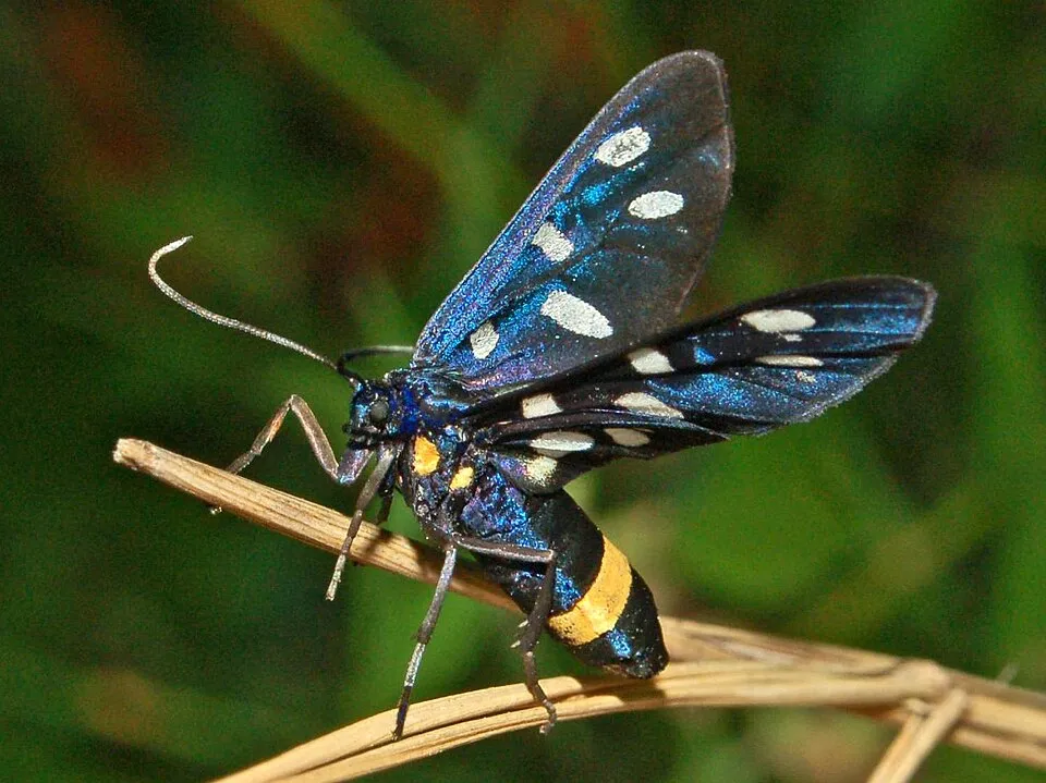
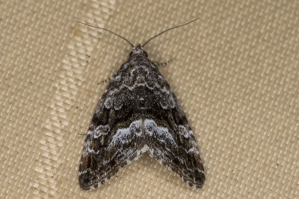
Among the species most often recorded on GBIF are Lacerta viridis (Green lizard), Salamandra salamandra (Fire salamander), Hypena proboscidalis (Snout) and Amata phegea (Nine-spotted moth).
What is the official website of Thayatal National Park?
© OpenStreetMap
Download the boundary: GeoJSON · GPX Boundary © OpenStreetMap contributors (ODbL).
Geography
The representative point of the site lies at around 283 m above sea level. Over the 1996–2025 period, the mean annual temperature is about 10.2 °C and total precipitation reaches roughly 666 mm per year. The warmest month is usually July, the coolest January, and the wettest July. According to the European 1:1 million geological map (EGDI), the bedrock consists mainly of granites (63% of sampled points), mica schists (19%) and gneiss (13%). These are mostly igneous rocks. The geological units date mainly from the Precambrian (81% of sampled points).
Area
- Area
- 1,330 ha
- Elevation
- 283 m
- Median elevation
- 378 m
- Mean slope
- 16°
- Coordinates
- 48.8522, 15.8633
Terrain: Mapzen Terrain Tiles (SRTM, USGS; © offene Daten Österreichs – Digitales Geländemodell (DGM) Österreich, CC BY 3.0 AT)
Bedrock
- Granites 63 %
- Mica schists 19 %
- Gneiss 13 %
- Phyllites and slates 6 %
Igneous rocks 63 % · Metamorphic rocks 38 % · Main age: Precambrian (81%)
Source: EGDI 1:1M geological map (EuroGeoSurveys and national geological surveys), CC BY 4.0 · 16 sampled points within the site.
Main summits
- Binderberg448 m
- Max-Plateau417 m
- Schoberberg398 m
- Umlaufberg378 m
Data © OpenStreetMap contributors (ODbL)
Climate
● Mean temperature (°C) · ▮ Precipitation (mm)
Source: Copernicus ERA5-Land (C3S, doi:10.24381/cds.68d2bb30), monthly averages 1996–2025 interpolated to the representative point, temperatures adjusted for elevation.
Contains modified Copernicus Climate Change Service information 2026. Neither the European Commission nor ECMWF is responsible for any use that may be made of the Copernicus information or data it contains.
Snow cover measured by satellite
J
F
M
A
M
J
J
A
S
O
N
D
average share of the site under snow · snowiest parts · ≈ 20 days a year
Snow cover: MODIS/Terra MOD10CM v61 (Hall & Riggs, 2021, NASA NSIDC DAAC, doi:10.5067/MODIS/MOD10CM.061), imagery from NASA GIBS (ESDIS); 2015–2025 average, grid of about 5 km.
Natural habitats
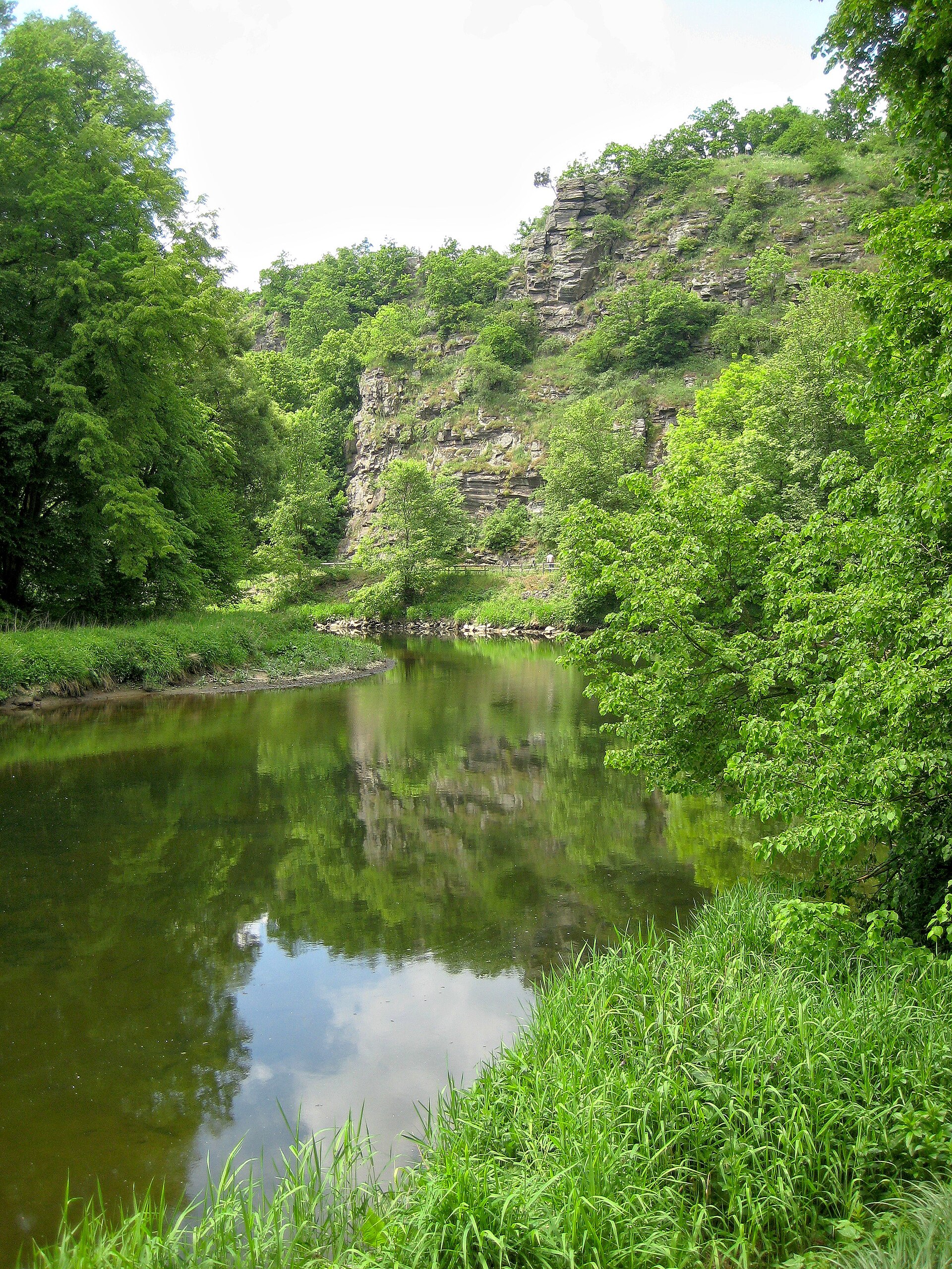
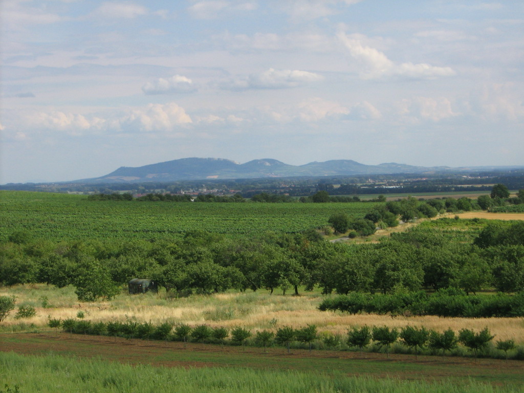
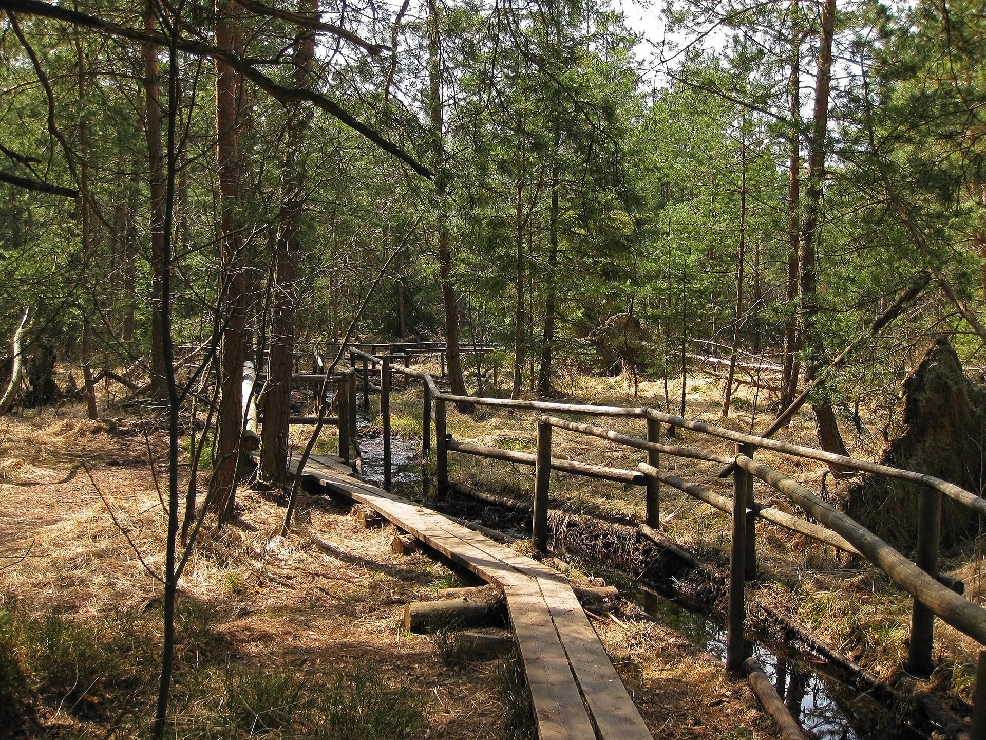
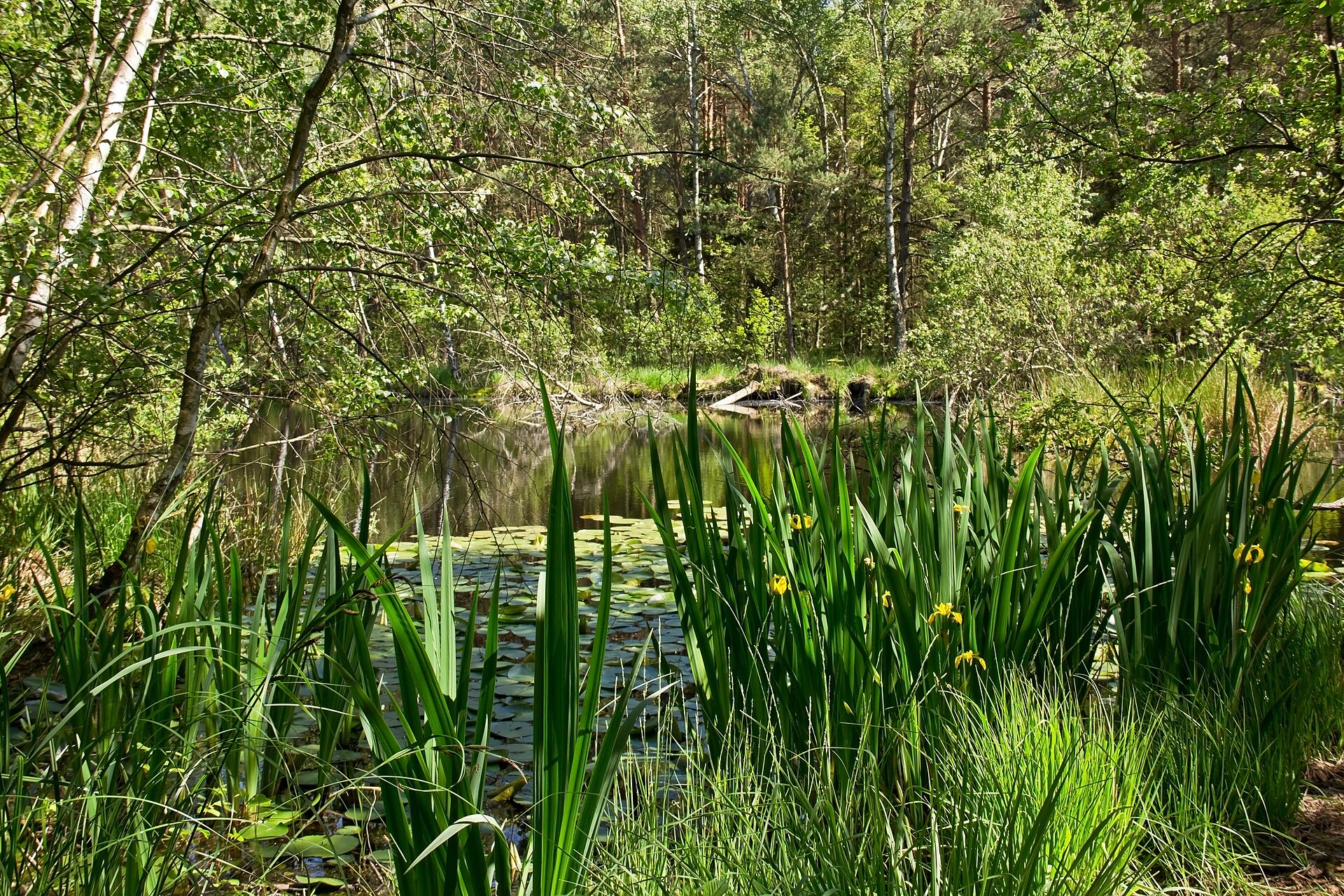
According to CORINE Land Cover (2018), the site is mainly made up of forests (92%) and farmland (7%). Woodland is mostly broadleaved. Elevation ranges from about 280 to 490 m (sampled elevations, SRTM). The terrain is steep: 12% of slopes exceed 30° (mean slope 16°). The Natura 2000 site overlapping the area lists 23 habitats of European interest (5 priority), the most extensive being Galio-Carpinetum oak-hornbeam forests, Asperulo-Fagetum beech forests and Tilio-Acerion forests of slopes, screes and ravines.
Biodiversity
Based on occurrences aggregated by GBIF, several species are regularly recorded within the site. Among the most frequent are Lacerta viridis (Green lizard), Salamandra salamandra (Fire salamander), Hypena proboscidalis (Snout) and Amata phegea (Nine-spotted moth). The full list of documented taxa is shown below. The overlapping Natura 2000 site lists 61 species of European interest: 27 mammals, 5 reptiles, 10 amphibians, 3 fish, 12 invertebrates and 4 plants.
Habitats of European interest
From the official form of the Natura 2000 site overlapping the area (areas reported for the whole site).
- Galio-Carpinetum oak-hornbeam forests 1,183 ha
- Asperulo-Fagetum beech forests 467 ha
- Tilio-Acerion forests of slopes, screes and ravines priority 65 ha
- Lowland hay meadows (Alopecurus pratensis, Sanguisorba officinalis) 54 ha
- Alluvial forests with Alnus glutinosa and Fraxinus excelsior (Alno-Padion, Alnion incanae, Salicion albae) priority 26 ha
- Water courses of plain to montane levels with the Ranunculion fluitantis and Callitricho-Batrachion vegetation 20 ha
- Semi-natural dry grasslands and scrubland facies on calcareous substrates (Festuco-Brometalia) (* important orchid sites) 5 ha
- Luzulo-Fagetum beech forests 4 ha
and 15 more
Species of European interest
Mammals · 27
Barbastelle (Barbastella barbastellus), European hamster (Cricetus cricetus), Northern Bat (Eptesicus nilssonii), Serotine bat (Eptesicus serotinus), European wildcat (Felis silvestris), Savi's Pipistrelle (Hypsugo savii), Eurasian otter (Lutra lutra), European pine marten (Martes martes), Steppe Polecat (Mustela eversmanii), Western Polecat (Mustela putorius), Alcathoe Whiskered Bat (Myotis alcathoe), Bechstein's bat (Myotis bechsteinii) and 15 more
Reptiles · 5
Smooth snake (Coronella austriaca), Sand lizard (Lacerta agilis), Green lizard (Lacerta viridis), Dice snake (Natrix tessellata), Aesculapian Snake (Zamenis longissimus)
Amphibians · 10
European fire-bellied toad (Bombina bombina), Yellow-bellied toad (Bombina variegata), Green Toad (Bufotes viridis), Common tree frog (Hyla arborea), Edible frog (Pelophylax esculentus), Pool frog (Pelophylax lessonae), Agile frog (Rana dalmatina), Common frog (Rana temporaria), Italian crested newt (Triturus carnifex), Great crested newt (Triturus cristatus)
Invertebrates · 12
Noble crayfish (Astacus astacus), Eastern Eggar (Eriogaster catax), Scarce Fritillary (Euphydryas maturna), Jersey Tiger (Euplagia quadripunctaria), Roman Snail (Helix pomatia), Stag beetle (Lucanus cervus), Large copper (Lycaena dispar), Dusky Large Blue (Maculinea nausithous), Scarce large blue (Maculinea teleius), Clouded apollo (Parnassius mnemosyne), Thick shelled river mussel (Unio crassus), Narrow-mouthed whorl snail (Vertigo angustior)
Plants · 4
Lady's-slipper orchid (Cypripedium calceolus), Snowdrop (Galanthus nivalis), Leucobryum moss (Leucobryum glaucum), Greater Pasque Flower (Pulsatilla grandis)
Source: Natura 2000 standard data forms (EEA, CC-BY 4.0). Not exhaustive: sensitive species are not published.
Species to look out for

Observed species
Occurrences documented via GBIF; they are neither an exhaustive inventory nor proof of current presence.
- Green lizard · Lacerta viridis · 45
- Fire salamander · Salamandra salamandra · 32
- Snout · Hypena proboscidalis · 31
- Nine-spotted moth · Amata phegea · 29
- Marbled White Spot · Deltote pygarga · 28
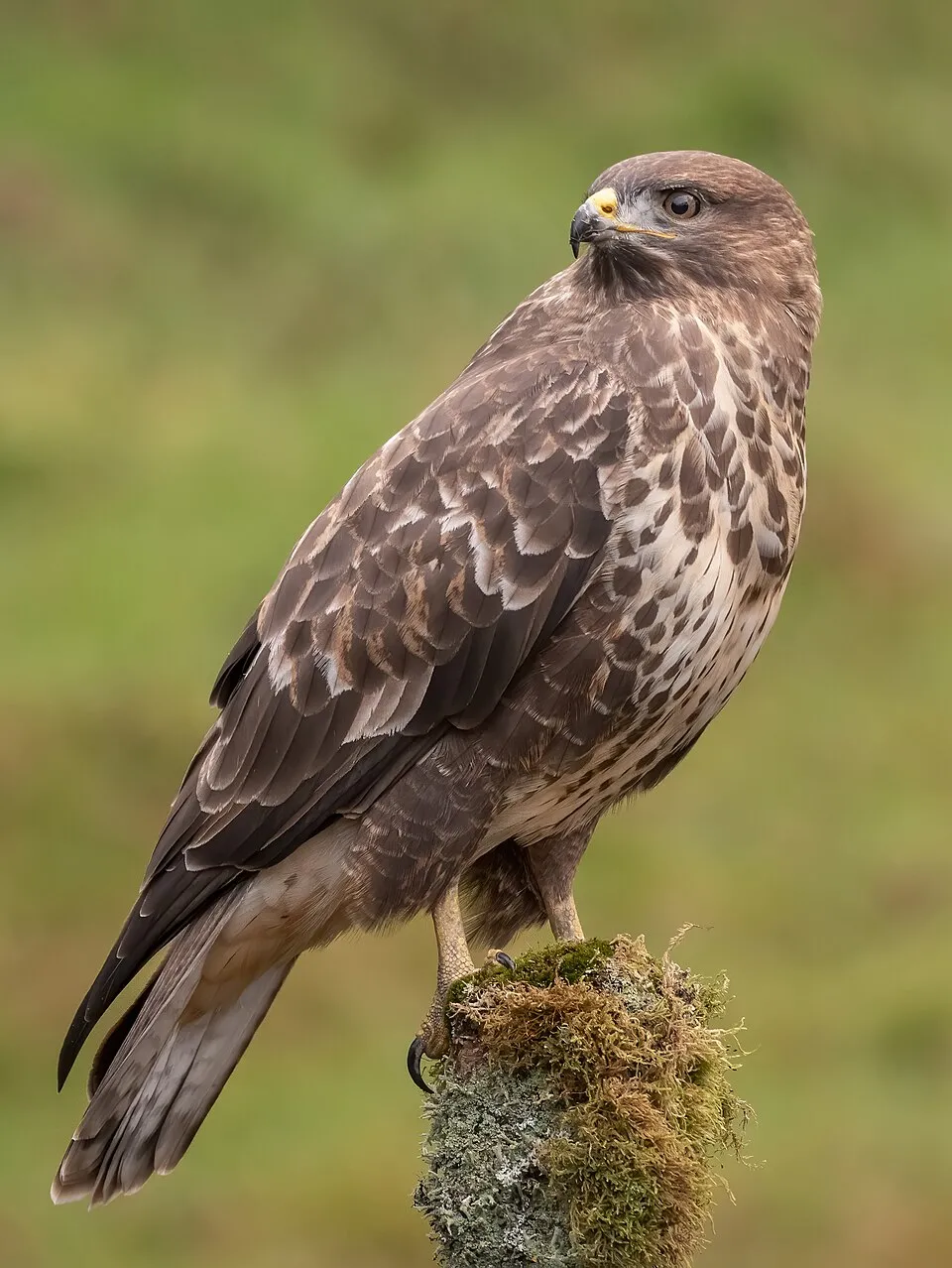
- Common Buzzard · Buteo buteo · 27
- Eurasian Chaffinch · Fringilla coelebs · 27
- Rosy footman · Miltochrista miniata · 26
- Hairy Curtain Crust · Stereum hirsutum · 26
- Great tit · Parus major · 25
- Blackfly Hunter · Rhyacophila nubila · 24
- Bladdernut · Staphylea pinnata · 24
+18 more species
- Common Carpet · Epirrhoe alternata · 24
- Silver-washed fritillary · Argynnis paphia · 23
- Great Spotted Woodpecker · Dendrocopos major · 23
- Setaceous Hebrew character · Xestia c-nigrum · 23
- Pale Tussock · Calliteara pudibunda · 22
- Nut-tree tussock · Colocasia coryli · 22
- Four-spotted footman · Lithosia quadra · 22
- Mocha · Cyclophora annularia · 22
- Orange Footman · Wittia sororcula · 22
- Hoof Fungus · Fomes fomentarius · 22
- The coronet · Craniophora ligustri · 21
- Light Emerald · Campaea margaritaria · 21
- Common Blackbird · Turdus merula · 21
- Artist's bracket · Ganoderma applanatum · 21
- Spring vetch · Lathyrus vernus · 21
- Large Yellow Underwing · Noctua pronuba · 20
- Scarce merveille du jour · Moma alpium · 20
- Eurasian blue tit · Cyanistes caeruleus · 20
Records: GBIF.org (CC-BY). Names: Wikidata (CC0), GBIF. Photos: Wikimedia Commons.
Conservation challenges
The primary purpose of the site is to preserve its natural habitats and the biodiversity they support. The species recorded (Biodiversity tab) reflect its ecological value. The designations it holds frame its management and the control of land use.
According to Global Forest Change data (University of Maryland, Global Forest Watch), about 60 ha of tree cover were lost within the boundary between 2001 and 2023 (5% of its area), peaking in 2012 and 2019. These losses include logging, storms and fires, and do not account for regrowth. According to CORINE Land Cover, land cover here remained almost unchanged between 1990 and 2018 (less than 0.5% of the area affected). At night, the area gives off virtually no artificial light detectable from space (NASA VIIRS Black Marble composite, 2016). Built-up and developed land (buildings, business areas, roads, quarries) covers 2% of the area, and farmland 7% (CORINE Land Cover). According to the Natura 2000 forms, of 23 assessed habitats of European interest, 5 are in excellent condition and 5 in average or reduced condition. According to the Water Framework Directive assessment (2022 river basin management plans, data 2016–2021), only 32% of the 14 km of rivers assessed within the site are in good or high ecological potential; the others mostly have moderate ecological potential. Since 2000, 9 invasive alien species have been recorded within the site (GBIF observations), 3 of them listed as of Union concern under EU Regulation 1143/2014. Among them: Impatiens glandulifera (Himalayan Balsam), Ailanthus altissima (Tree-of-heaven) and Reynoutria bohemica (Bohemian knotweed).
Pressure indicators
Tree cover lost
60 ha
2001–2023 · 5% of the area
20012023
Fires since 2016
0
No large fire mapped (fires over about 30 ha)
Light at night
0%
of the area gives off artificial light visible from space
DarkLit
Built-up land
2%
buildings, business areas, roads, quarries · farmland 7%
Land cover change
< 0.5%
of the area changed, 1990–2018 · CORINE
Rivers and lakes
32%
of the 14 km of assessed rivers at good or high ecological potential (mostly heavily modified water bodies) · WFD 2022
assessments 2016–2021
Invasive alien species
9
incl. 3 of EU concern · since 2000
 Himalayan BalsamEU
 Tree-of-heavenEU
Bohemian knotweedEU
 Mute Swan
 Black locust
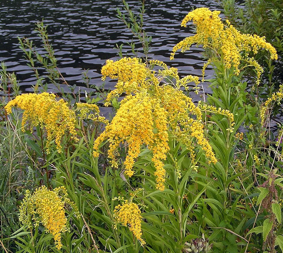 Giant goldenrod
 Small balsam
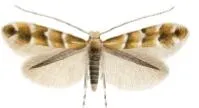 Horse-chestnut leaf miner
Photos: Himalayan Balsam © Guptaele · CC BY-SA 4.0; Tree-of-heaven © Darkone · CC BY-SA 2.5; Mute Swan © Geni · CC BY-SA 4.0; Black locust © This Photo was taken by Wolfgang Moroder. Feel free to use my photos, but please mention me as the author and send me a message. This image is not in the public domain. Please respect the copyright protection. It may only be used according… · CC BY-SA 3.0; Giant goldenrod © Pethan · CC BY-SA 3.0; Small balsam © André Karwath aka Aka · CC BY-SA 2.5; Horse-chestnut leaf miner © Carlos Lopez-Vaamonde, David Agassiz, Sylvie Augustin, Jurate De Prins, Willy De Prins, Stanislav Gomboc, Povilas Ivinskis, Ole Karsholt, Athanasios Koutroumpas, Fotini Koutroumpa, Zdeněk Laštůvka, Eduardo Marabuto, Elisenda Olivella, Luka… · CC BY 3.0
Sources: Global Forest Change (Hansen et al., University of Maryland, via Global Forest Watch, CC-BY 4.0); EFFIS, European Commission / Copernicus; NASA Black Marble 2016 (public domain); CORINE Land Cover 2018 (Copernicus) or MODIS.
CORINE Land Cover Change 1990–2018: generated using European Union's Copernicus Land Monitoring Service information (EEA), aggregated by Parkavela; DOI 10.2909/f30f1000-7cf8-43bb-872c-5eb093911b24.
Ecological status of water bodies: European Environment Agency, WISE – Water Framework Directive, 3rd river basin management plans (2022), CC BY 4.0. Official national classification, not comparable between countries.
Invasive alien species: Global Register of Introduced and Invasive Species (ISSG, CC BY 4.0); Union list, Regulation (EU) 1143/2014 (INBO, CC0); GBIF.org records (CC0 / CC BY 4.0), at least 2 per species.
Practical information
Cities and airport
- Jihlava
61 km as the crow flies - St. Pölten
72 km as the crow flies - Airport: Wien-Schwechat (VIE)
91 km as the crow flies
Visitor information
- Info centrum NP Podyjí
2 km from the site boundary - Srub Správy NP Podyjí
2 km from the site boundary - Nationalparkhaus Thayatal
< 1 km from the site boundary
Parking
10 public car parks listed within the site
Parkplatz Nationalpark Thayatal
Hiking
14 waymarked routes listed, including:
E 8Ostösterreichischer GrenzlandwegThayatalwanderwegNÖ Landesrundwanderweg
By bike
EV13 · 4 km 8 Kamp-Thaya-March Radroute · 4 kmTHAYA Thayatal Radweg · 4 km6 Städte Radtour · 4 km
Signed cycle routes: this does not mean that cycling is allowed on footpaths.
Data © OpenStreetMap contributors (ODbL) · Wikidata (CC0)
Contains information from EuroVelo GPX tracks downloaded from www.EuroVelo.com on 2026-10-22, which is made available here under the Open Database License (ODbL). EuroVelo® is a registered trademark of the ECF. Routes © OpenStreetMap contributors (ODbL), via Waymarked Trails
Waymarked hiking routes
E8 Europäischer Fernwanderweg E8 - Österreich
8.8 km within the site ↗ 92 m↘ 106 m 271–359 m
Thayatalweg - Variante Umlaufberg
8 km within the site ↗ 6 m↘ 60 m 270–331 m
Tracks © OpenStreetMap contributors (ODbL), clipped to the boundary; elevation gain and profiles computed on the longest section from Mapzen Terrain Tiles (≈ 30 m), indicative only.
Access and visiting
The nearest railway station is Niederfladnitz, about 3 km from the site boundary. Nearest towns of over 50,000 people, as the crow flies: Jihlava (61 km) and St. Pölten (72 km). Nearest airport: Wien-Schwechat (VIE), about 91 km away. About 110,000 people live within 20 km of the site boundary, 54,000 of them within 10 km; some 100 people are estimated to live inside (GHSL estimate, 2020). Visitor information on site: Info centrum NP Podyjí, Srub Správy NP Podyjí and Nationalparkhaus Thayatal. Public car parks listed within the site: 10, including Parkplatz Nationalpark Thayatal. Waymarked hiking routes listed in OpenStreetMap: 14, including E 8, Ostösterreichischer Grenzlandweg, Thayatalwanderweg and NÖ Landesrundwanderweg. The EuroVelo 13 cycle route (Iron Curtain Trail) crosses the site for about 4 km, mostly developed and signed; 3 other signed cycle routes also pass through, including “8 Kamp-Thaya-March Radroute” and “THAYA Thayatal Radweg” (EuroVelo, OpenStreetMap). To plan a visit (access, opening periods, visitor rules), it is best to consult the official information from the managing body and the official website listed in this page's sources.
Source: OpenStreetMap (ODbL), Wikidata (CC0), October 2026.
Built heritage
According to Wikidata, 12 monuments listed as protected monuments in Austria stand within the boundary. Among them are 3 castles and fortifications, 2 religious buildings and 1 house or civic building. Examples include “Hardegg Karner” in Hardegg, “Hardegg Castle” in Hardegg and “Kaja Castle Ruins” in Hardegg.
3 castles and fortifications2 religious buildings1 house or civic building1 bridge, lighthouse, mill or working building
-
Hardegg Karner
Hardegg -
Hardegg Castle
Hardegg -
Kaja Castle Ruins
Hardegg -
Hardegg Thayabrücke
Čížov -
Hardegg Rathaus
Hardegg -
Pfarrkirche Hardegg
Hardegg -
Stadttor, Eisernes Tor
Hardegg -
Hardegg Statue Johannes Nepomuk
Hardegg
and 4 more
Source: Wikidata (CC0), monuments in each country’s official heritage protection registers, at national or regional level. Each item links to its Wikidata entry.
When to visit
Mildest period: from June to August, with average temperatures of 18 to 21 °C. Average temperatures drop below 0 °C in January: frost is common. Precipitation peaks in July (up to 90 mm per month). Snow only makes brief appearances in winter (about 20 days a year on average, MODIS satellites 2015–2025). Day length ranges from about 8 h 16 min in December to 16 h 09 min in June. Wildlife records published on GBIF peak for birds (August), plants (May) and butterflies and moths (June). These peaks also reflect when observers are most active.
Source: Copernicus ERA5-Land (C3S), monthly averages 1996–2025 at the representative point, temperatures adjusted for elevation.
Contains modified Copernicus Climate Change Service information 2026. Neither the European Commission nor ECMWF is responsible for any use that may be made of the Copernicus information or data it contains.
Wildlife records calendar
JFMAMJJASOND
Birds
Plants
Butterflies & moths
Monthly records published on GBIF (CC-BY), relative to the busiest month; also reflects observer activity.
Gallery
© Aconcagua · CC BY-SA 3.0
© Joadl · CC BY-SA 3.0
© Martin KREIL · CC BY-SA 3.0
© Aconcagua · CC BY-SA 3.0
© Latina81 · CC BY-SA 3.0
© Hildegarda von Hildegardenburg · CC BY-SA 4.0
Sources and licences
- Wikidata: Q612901
- OpenStreetMap: relation 2196323
- Official website: http://www.np-thayatal.at
- Wikipedia: en.wikipedia.org/wiki/Thayatal_National_Park
- WDPA: 169111
References
- cds.climate.copernicus.eu: climate · CC-BY-4.0
- registry.opendata.aws: elevation of the reference point, detailed relief · CC-BY-3.0
- land.copernicus.eu: land cover, land cover change, sea share · COPERNICUS
- doi.org: population around the site · CC-BY-4.0
- wikidata.org: official area, establishment date, protected heritage, nearby cities and airport, access and peaks, lake depths, places to see, official website · CC0-1.0
- eea.europa.eu: bathing water quality, ecological status of waters · CC-BY-4.0
- en.eurovelo.com: EuroVelo cycle routes · ODbL-1.0
- cycling.waymarkedtrails.org: cycle routes · ODbL-1.0
- opentopodata.org: elevations · PD
- forest-fire.emergency.copernicus.eu: wildfires · COPERNICUS
- globalforestwatch.org: tree cover loss · CC-BY-4.0
- gbif.org: seasonality of sightings, invasive alien species, observed species · CC-BY-4.0
- europe-geology.eu: geology · CC-BY-4.0
- hydrosheds.org: lakes · CC-BY-4.0
- natura2000.eea.europa.eu: Natura 2000 habitats and species · CC-BY-4.0
- openstreetmap.org: official name, access and peaks, trail difficulty, wheelchair access · ODbL-1.0
- earthobservatory.nasa.gov: night light · PD
- hiking.waymarkedtrails.org: route difficulty · ODbL-1.0
- nsidc.org: snow cover · PD
- wikidata.org: Wikipedia article · CC-BY-SA-4.0
Data © OpenStreetMap contributors (ODbL), Wikidata (CC0) and the sources cited.