Czechia · Terrestrial
Pálava Protected Landscape Area
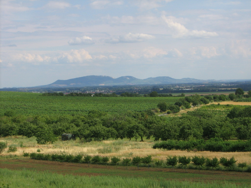
Protected landscape area of 8,540 hectares in Czechia, established in 1976.
Overview
Protected landscape area of 8,540 hectares in Czechia, established in 1976.
Pálava Protected Landscape Area is located in Czechia (Europe). It is a predominantly terrestrial area. Established on 3 May 1976, it covers about 8,540 hectares.
Protections and designations
UNESCO Biosphere Reserve
Natura 2000 · habitats (SAC) · 8 sites
- Děvín CZ0624104
- Klentnice - kostel svatého Jiří CZ0623781
- Milovický les CZ0624100
- Niva Dyje CZ0624099
- Slanisko u Nesytu CZ0624102
- Stolová hora CZ0624043
- and 2 more
Natura 2000 · birds (SPA)
- Pálava CZ0621029
Designated as a protected landscape area. International labels and designations: UNESCO Biosphere Reserve (“Lower Morava Biosphere Reserve”) and Natura 2000 network (9 sites). Key dates: established in 1976, Biosphere Reserve in 1986, first Natura 2000 site under the Birds Directive in 2004 and first Natura 2000 site under the Habitats Directive in 2008.
In our collections
Timeline
-
1976
Established
-
1986
UNESCO Biosphere Reserve Lower Morava Biosphere Reserve
-
2004
First Natura 2000 site under the Birds Directive
-
2008
First Natura 2000 site under the Habitats Directive 8 such sites designated up to 2012
Sources: Wikidata (CC0) for establishment and international labels; EEA Natura 2000 database (CC-BY 4.0) for site designation dates.
Frequently asked questions
Where is Pálava Protected Landscape Area?
In Czechia (Europe). Representative point: 48.8320° N, 16.6740° E.
How large is Pálava Protected Landscape Area?
About 8,540 hectares (85 km²). It is the 25th largest of the 27 protected landscape areas in Czechia covered by Parkavela.
When was Pálava Protected Landscape Area established?
On 3 May 1976.
What habitats and landscapes does Pálava Protected Landscape Area include?
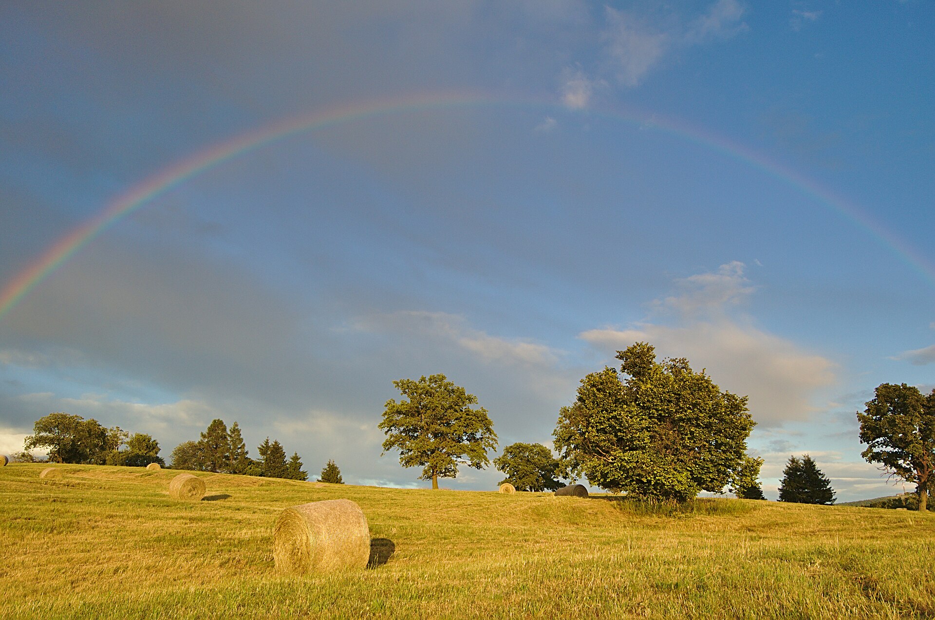
A terrestrial area, with forests.
What rocks lie beneath Pálava Protected Landscape Area?
According to the European 1:1 million geological map (EGDI), recent unconsolidated deposits – clays and silts (56% of sampled points) – cover most of the site; among the consolidated rocks: mudstones (38%). These are mostly sedimentary rocks. The geological units date mainly from the Quaternary (44% of sampled points).
What is the highest point of Pálava Protected Landscape Area?
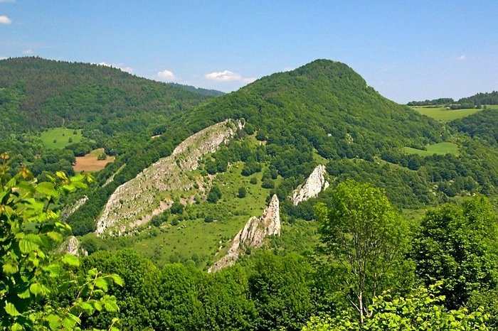
Děvín, at 550 m (OpenStreetMap).
What are the main summits of Pálava Protected Landscape Area?
Děvín (550 m), Obora (483 m), Pálava (462 m), Stolová hora (458 m) and Hlavní věž (447 m) (OpenStreetMap).
Which international labels apply to Pálava Protected Landscape Area?
UNESCO Biosphere Reserve (“Lower Morava Biosphere Reserve”) and Natura 2000 network (9 sites).
When is the best time to visit Pálava Protected Landscape Area?
Mildest period: from June to August, with average temperatures of 18 to 21 °C.
What is there to see in Pálava Protected Landscape Area?
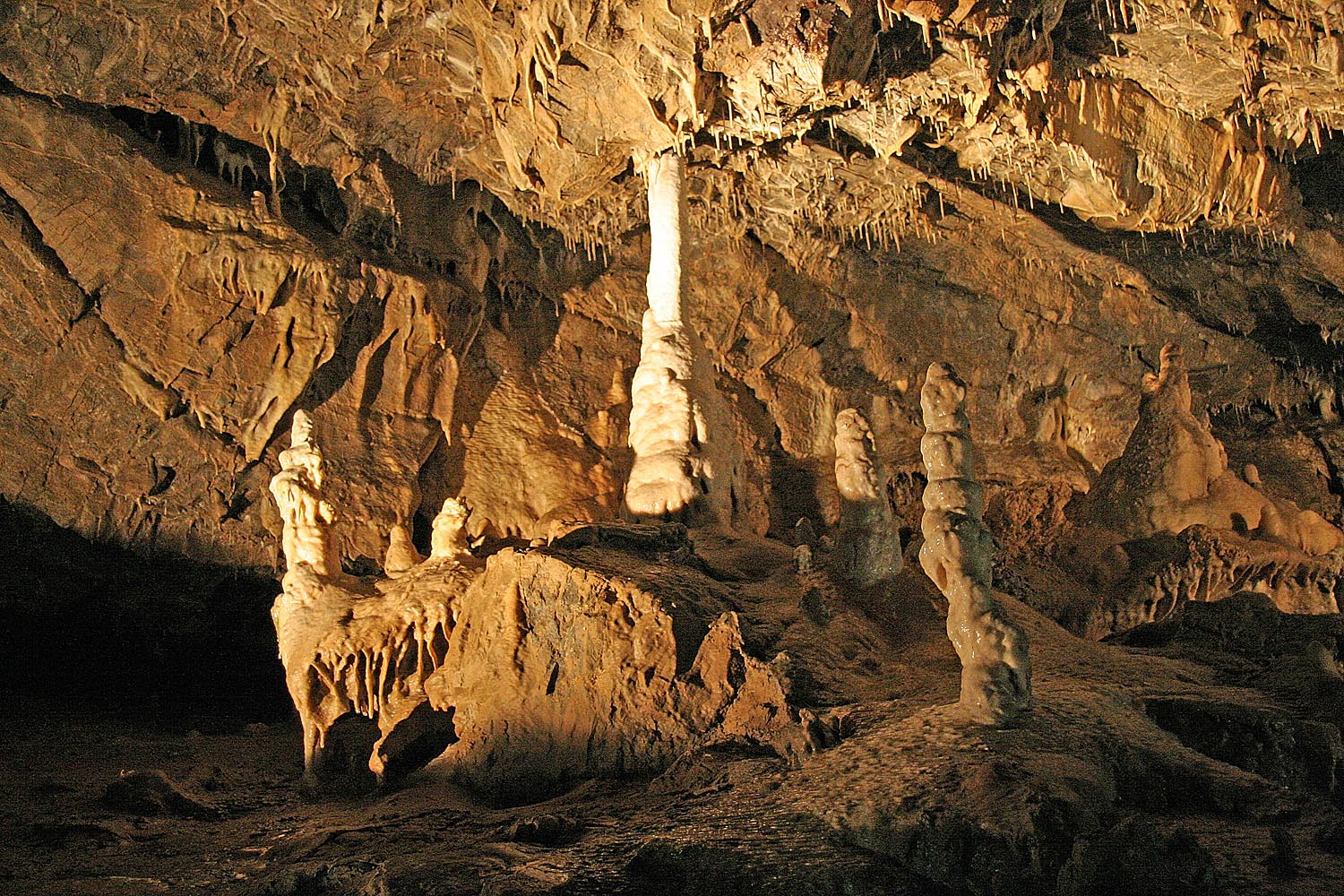
1 lake or pond and 2 caves, including Křivé jezero (163 m), Na Turoldu and Liščí díra (Wikidata).
Are there historic monuments in Pálava Protected Landscape Area?
Yes. According to Wikidata, 291 monuments listed in the Czech central register of cultural monuments stand within the boundary, 4 of them national cultural monuments. For example: “Stations of the Cross” in Mikulov, “Dolní Věstonice” in Dolní Věstonice and “Archaeological site Pavlov I” in Pavlov.
What is the nearest large city to Pálava Protected Landscape Area?
Nearest towns of over 50,000 people, as the crow flies: Brno (34 km) and Vienna (66 km). Nearest airport: Brno-Tuřany (BRQ), about 30 km away.
How can I reach Pálava Protected Landscape Area by train?
The nearest railway station is Sedlec u Mikulova, less than 1 km from the site boundary.
Where can I get visitor information on site?
Správa jeskyně Na Turoldu, Turistické informační centrum Mikulov and YachtClub Dyje - recepce.
Are there waymarked hiking trails in Pálava Protected Landscape Area?
Yes. Waymarked hiking routes listed in OpenStreetMap: 15, including Svatojakubská cesta, Česko, Moravskoslezská trasa, [Č] Soutok Svitavy a Svratky, Jakobsweg Weinviertel and Via Czechia. The “Svatojakubská cesta, Česko, Moravskoslezská trasa” route runs for about 16 km through the site, with some 590 m of ascent on its longest section.
Which species can be seen in Pálava Protected Landscape Area?
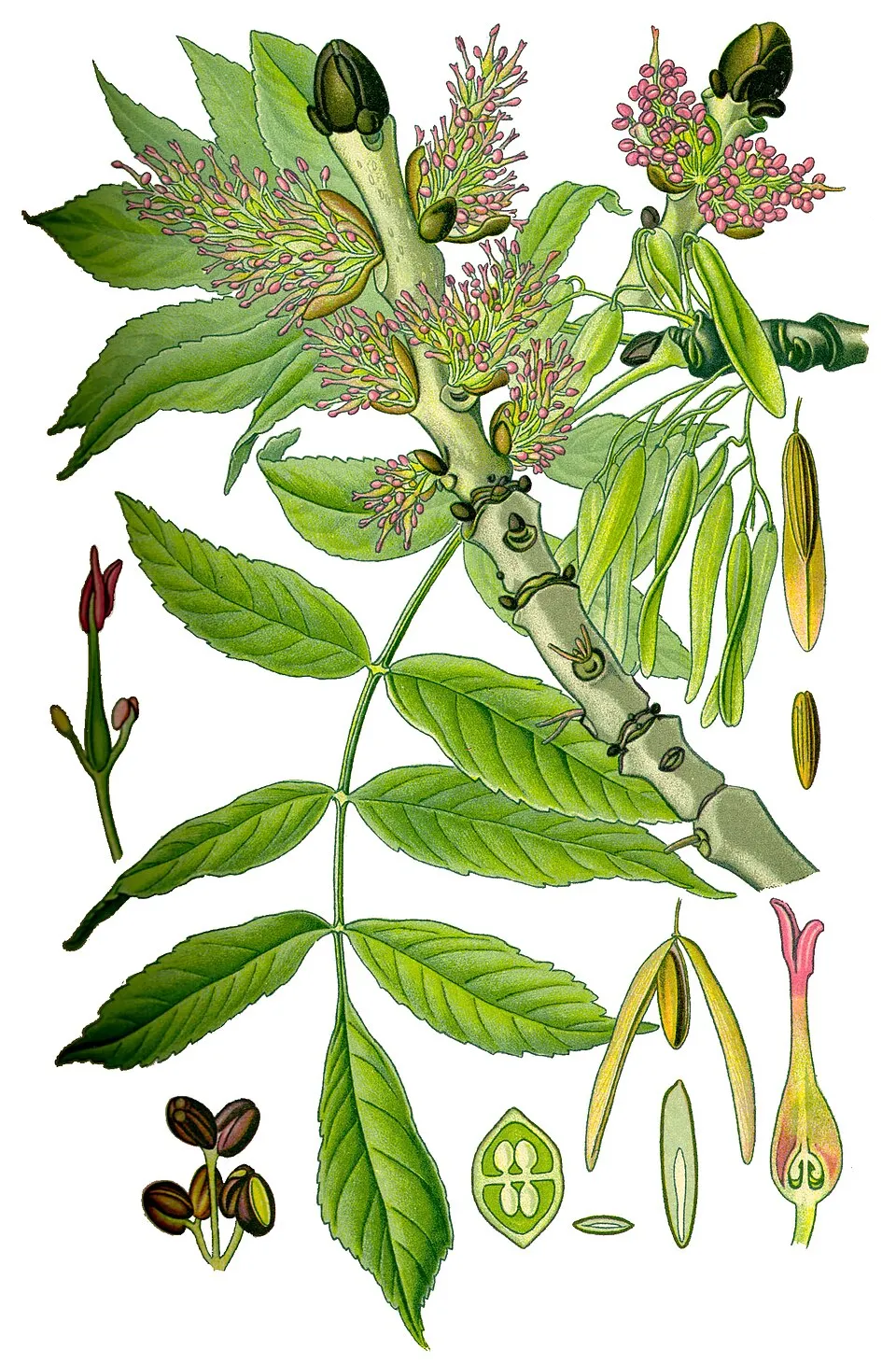
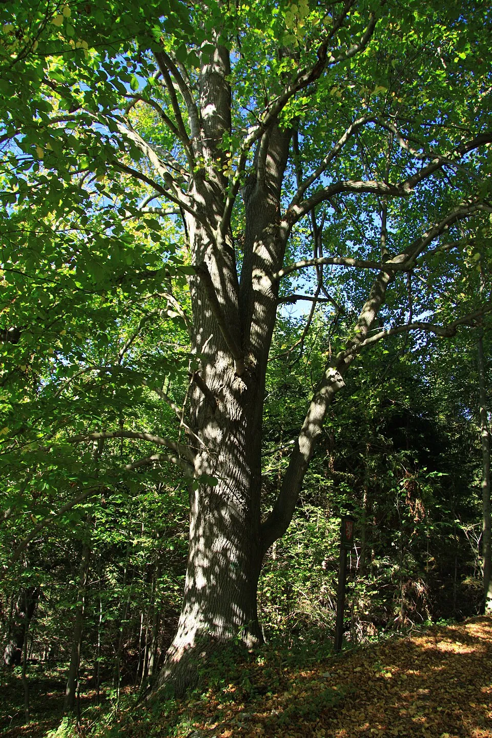
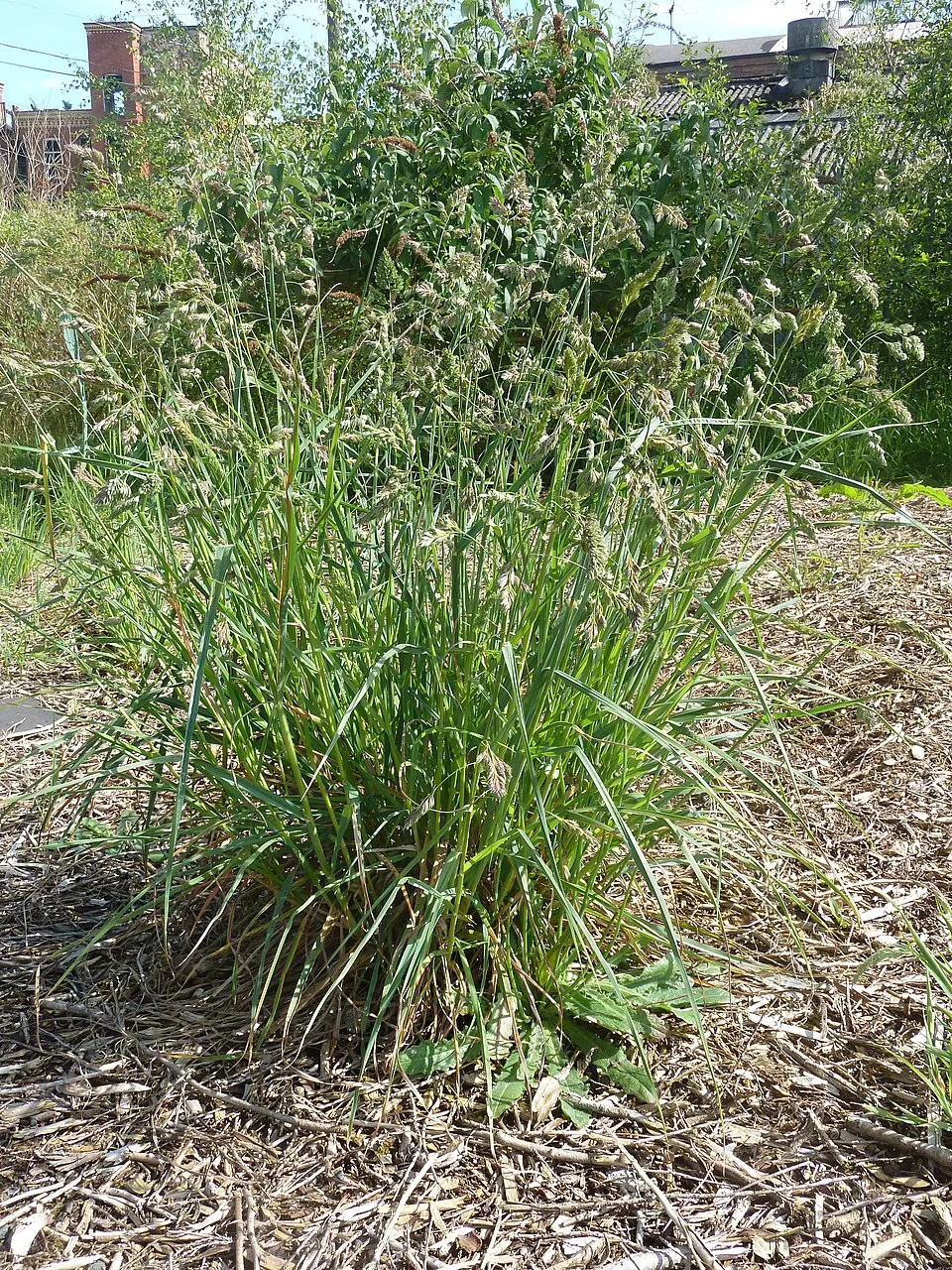
Among the species most often recorded on GBIF are Fraxinus excelsior (European ash), Parus major (Great tit), Tilia platyphyllos (Large-leaved Lime) and Dactylis glomerata (Cock's-foot).
What is the official website of Pálava Protected Landscape Area?
© OpenStreetMap
Download the boundary: GeoJSON · GPX Boundary © OpenStreetMap contributors (ODbL).
Geography
The representative point of the site lies at around 317 m above sea level. Over the 1996–2025 period, the mean annual temperature is about 9.8 °C and total precipitation reaches roughly 643 mm per year. The warmest month is usually July, the coolest January, and the wettest July. According to the European 1:1 million geological map (EGDI), recent unconsolidated deposits – clays and silts (56% of sampled points) – cover most of the site; among the consolidated rocks: mudstones (38%). These are mostly sedimentary rocks. The geological units date mainly from the Quaternary (44% of sampled points).
Area
- Area
- 8,540 ha
- Elevation
- 317 m
- Median elevation
- 245 m
- Mean slope
- 6°
- Coordinates
- 48.832, 16.674
Terrain: Mapzen Terrain Tiles (SRTM, USGS)
Bedrock
- Clays and silts 56 %
- Mudstones 38 %
- Conglomerates and breccias 6 %
Sedimentary rocks 100 % · Main age: Quaternary (44%)
Source: EGDI 1:1M geological map (EuroGeoSurveys and national geological surveys), CC BY 4.0 · 16 sampled points within the site.
Main summits
- Děvín550 m
- Obora483 m
- Pálava462 m
- Stolová hora458 m
- Hlavní věž447 m
- Trůn443 m
- Dívčí hrad428 m
- Urbanova věž425 m
- Maturita415 m
- Obří kámen397 m
Data © OpenStreetMap contributors (ODbL)
Climate
● Mean temperature (°C) · ▮ Precipitation (mm)
Source: Copernicus ERA5-Land (C3S, doi:10.24381/cds.68d2bb30), monthly averages 1996–2025 interpolated to the representative point, temperatures adjusted for elevation.
Contains modified Copernicus Climate Change Service information 2026. Neither the European Commission nor ECMWF is responsible for any use that may be made of the Copernicus information or data it contains.
Snow cover measured by satellite
J
F
M
A
M
J
J
A
S
O
N
D
average share of the site under snow · snowiest parts · ≈ 20 days a year
Snow cover: MODIS/Terra MOD10CM v61 (Hall & Riggs, 2021, NASA NSIDC DAAC, doi:10.5067/MODIS/MOD10CM.061), imagery from NASA GIBS (ESDIS); 2015–2025 average, grid of about 5 km.
Natural habitats
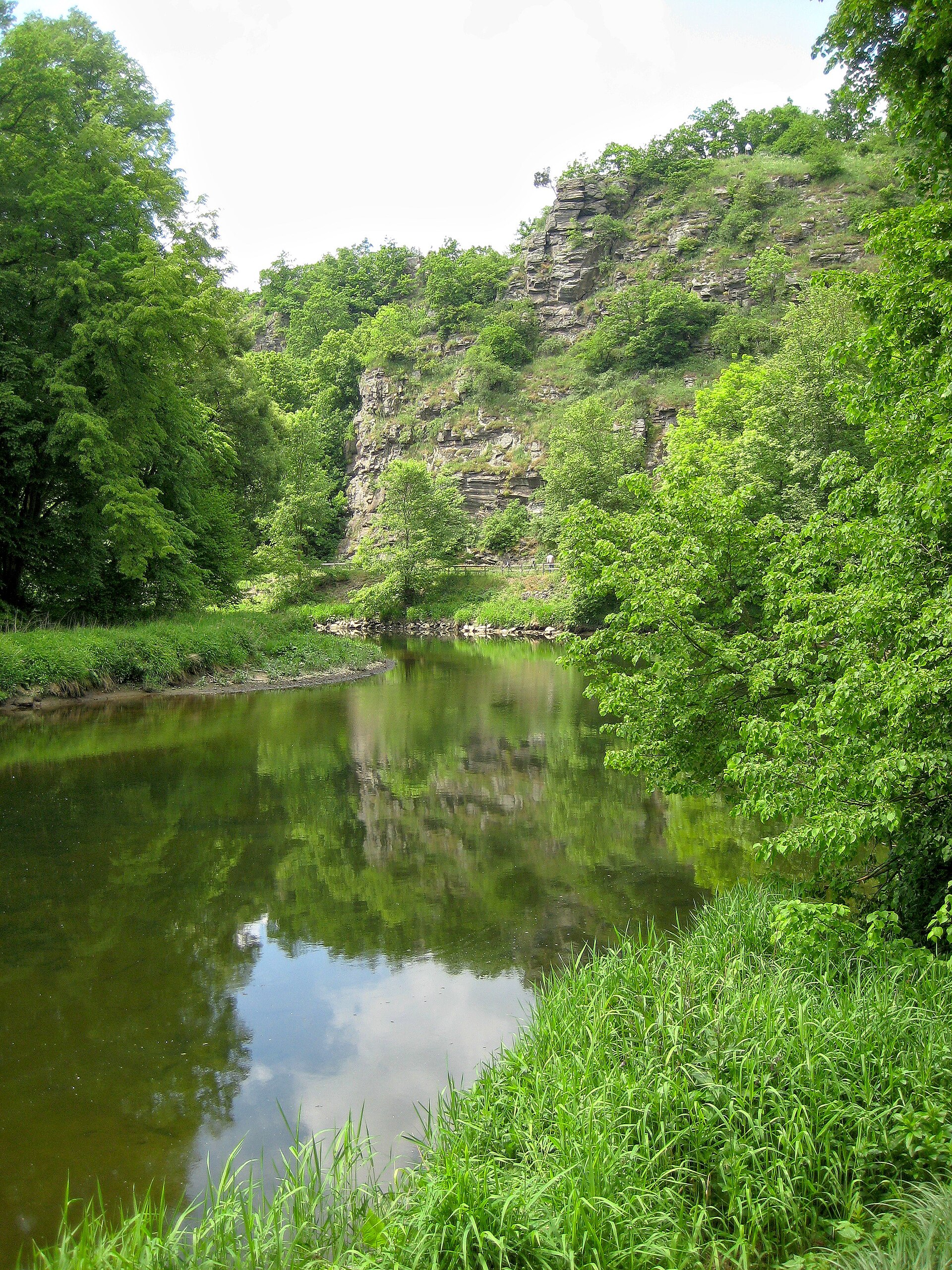
According to CORINE Land Cover (2018), the site is mainly made up of farmland (59%), forests (28%) and built-up or developed land (7%). Woodland is mostly broadleaved. Elevation ranges from about 170 m to 550 m (highest point: Děvín). The 9 Natura 2000 sites overlapping the area list 16 habitats of European interest (8 priority), the most extensive being riparian mixed forests of Quercus robur, Ulmus laevis and Ulmus minor, Fraxinus excelsior or Fraxinus angustifolia, along the great rivers (Ulmenion minoris), Pannonic woods with Quercus petraea and Carpinus betulus and Euro-Siberian steppic woods with Quercus spp.
Biodiversity
Based on occurrences aggregated by GBIF, several species are regularly recorded within the site. Among the most frequent are Fraxinus excelsior (European ash), Parus major (Great tit), Tilia platyphyllos (Large-leaved Lime) and Dactylis glomerata (Cock's-foot). The full list of documented taxa is shown below. The overlapping Natura 2000 sites list 29 species of European interest: 8 birds, 5 mammals, 1 amphibian, 2 fish, 10 invertebrates and 3 plants.
Habitats of European interest
From the official forms of the 9 Natura 2000 sites overlapping the area (areas reported for each whole site).
- Riparian mixed forests of Quercus robur, Ulmus laevis and Ulmus minor, Fraxinus excelsior or Fraxinus angustifolia, along the great rivers (Ulmenion minoris) 1,338 ha
- Pannonic woods with Quercus petraea and Carpinus betulus priority 1,017 ha
- Euro-Siberian steppic woods with Quercus spp. priority 752 ha
- Alluvial meadows of river valleys of the Cnidion dubii 294 ha
- Tilio-Acerion forests of slopes, screes and ravines priority 153 ha
- Sub-Pannonic steppic grasslands priority 71 ha
- Alluvial forests with Alnus glutinosa and Fraxinus excelsior (Alno-Padion, Alnion incanae, Salicion albae) priority 70 ha
- Pannonian woods with Quercus pubescens priority 67 ha
and 8 more
Species of European interest
Birds · 8
White stork (Ciconia ciconia) breeding, Syrian Woodpecker (Dendrocopos syriacus) resident, Collared Flycatcher (Ficedula albicollis) breeding, White-tailed Eagle (Haliaeetus albicilla) wintering, Red-backed Shrike (Lanius collurio) breeding, Middle spotted woodpecker (Leiopicus medius) resident, European honey buzzard (Pernis apivorus) breeding, Barred warbler (Sylvia nisoria) breeding
Mammals · 5
Barbastelle (Barbastella barbastellus), Eurasian Beaver (Castor fiber), Bechstein's bat (Myotis bechsteinii), Greater mouse-eared bat (Myotis myotis), Lesser horseshoe bat (Rhinolophus hipposideros)
Amphibians · 1
Invertebrates · 10
Lesser Ramshorn Snail (Anisus vorticulus), Carabus hungaricus, Greater Capricorn Beetle (Cerambyx cerdo), Cucujus cinnaberinus, Eastern Eggar (Eriogaster catax), Jersey Tiger (Euplagia quadripunctaria), Stag beetle (Lucanus cervus), Large copper (Lycaena dispar), Eastern Hermit Beetle (Osmoderma barnabita), Narrow-mouthed whorl snail (Vertigo angustior)
Plants · 3
Dianthus lumnitzeri, Iris humilis subsp. arenaria, Greater Pasque Flower (Pulsatilla grandis)
Source: Natura 2000 standard data forms (EEA, CC-BY 4.0). Not exhaustive: sensitive species are not published.
Species to look out for


Observed species
Occurrences documented via GBIF; they are neither an exhaustive inventory nor proof of current presence.
- European ash · Fraxinus excelsior · 967
- Great tit · Parus major · 623
- Large-leaved Lime · Tilia platyphyllos · 563
- Cock's-foot · Dactylis glomerata · 492
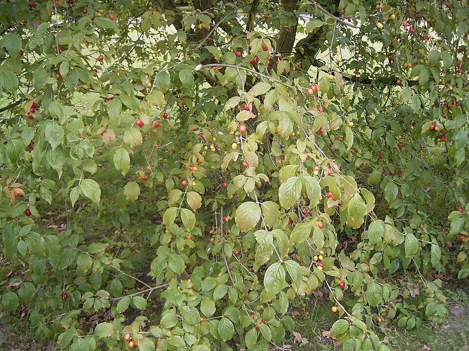
- Cornelian cherry · Cornus mas · 488
- Wood avens · Geum urbanum · 485
- Hornbeam · Carpinus betulus · 454
- Common Blackbird · Turdus merula · 449
- Common Buzzard · Buteo buteo · 439
- Cypress Spurge · Euphorbia cyparissias · 428
- Field Maple · Acer campestre · 426
- Cream pincushions · Scabiosa ochroleuca · 393
+18 more species
- Common Kestrel · Falco tinnunculus · 379
- Eurasian blue tit · Cyanistes caeruleus · 374
- Abbotswood potentilla · Potentilla cinerea · 372
- Sessile Oak · Quercus petraea · 366
- Furrowed fescue · Festuca rupicola · 364
- Chinese Thoroughwax · Bupleurum falcatum · 363
- Spotted Dead-nettle · Lamium maculatum · 361
- Salad Burnet · Poterium sanguisorba · 359
- White swallow-wort · Vincetoxicum hirundinaria · 349
- Wallcreeper · Tichodroma muraria · 347
- Great Spotted Woodpecker · Dendrocopos major · 337
- Field eryngo · Eryngium campestre · 332
- White stonecrop · Sedum album · 331
- Sycamore · Acer pseudoplatanus · 325
- Norway Maple · Acer platanoides · 317
- Sweet woodruff · Galium odoratum · 313
- St Lucie Cherry · Prunus mahaleb · 303
- Wood melick · Melica uniflora · 303
Records: GBIF.org (CC-BY). Names: Wikidata (CC0), GBIF. Photos: Wikimedia Commons.
Conservation challenges
The primary purpose of the site is to preserve its natural habitats and the biodiversity they support. The species recorded (Biodiversity tab) reflect its ecological value. The designations it holds frame its management and the control of land use.
According to Global Forest Change data (University of Maryland, Global Forest Watch), about 168 ha of tree cover were lost within the boundary between 2001 and 2023 (2% of its area), peaking in 2005 and 2012. These losses include logging, storms and fires, and do not account for regrowth. Apart from forest felling and regrowth (about 280 ha in total), land cover remained almost unchanged between 1990 and 2018 according to CORINE Land Cover. At night, 6% of the area gives off artificial light detectable from space (NASA VIIRS Black Marble composite, 2016). Built-up and developed land (buildings, business areas, roads, quarries) covers 7% of the area, and farmland 59% (CORINE Land Cover). According to the Natura 2000 forms, of 16 assessed habitats of European interest, 5 are in excellent condition and 2 in average or reduced condition. According to the Water Framework Directive assessment (2022 river basin management plans, data 2016–2018), the only river assessed within the site has poor ecological potential. Since 2000, 27 invasive alien species have been recorded within the site (GBIF observations), one of them listed as of Union concern under EU Regulation 1143/2014. Among them: Ailanthus altissima (Tree-of-heaven), Impatiens parviflora (Small balsam) and Erigeron canadensis (Canada Horseweed).
Pressure indicators
Tree cover lost
168 ha
2001–2023 · 2% of the area
20012023
Fires since 2016
0
No large fire mapped (fires over about 30 ha)
Light at night
6%
of the area gives off artificial light visible from space
DarkLit
Built-up land
7%
buildings, business areas, roads, quarries · farmland 59%
Land cover change
< 0.5%
of the area changed, 1990–2018 · CORINE
forest felling and regrowth: 280 ha in total
Rivers and lakes
0%
of the 4 km of assessed rivers at good or high ecological potential (mostly heavily modified water bodies) · WFD 2022
assessments 2016–2018
Invasive alien species
27
incl. 1 of EU concern · since 2000
 Tree-of-heavenEU
 Small balsam
 Canada Horseweed
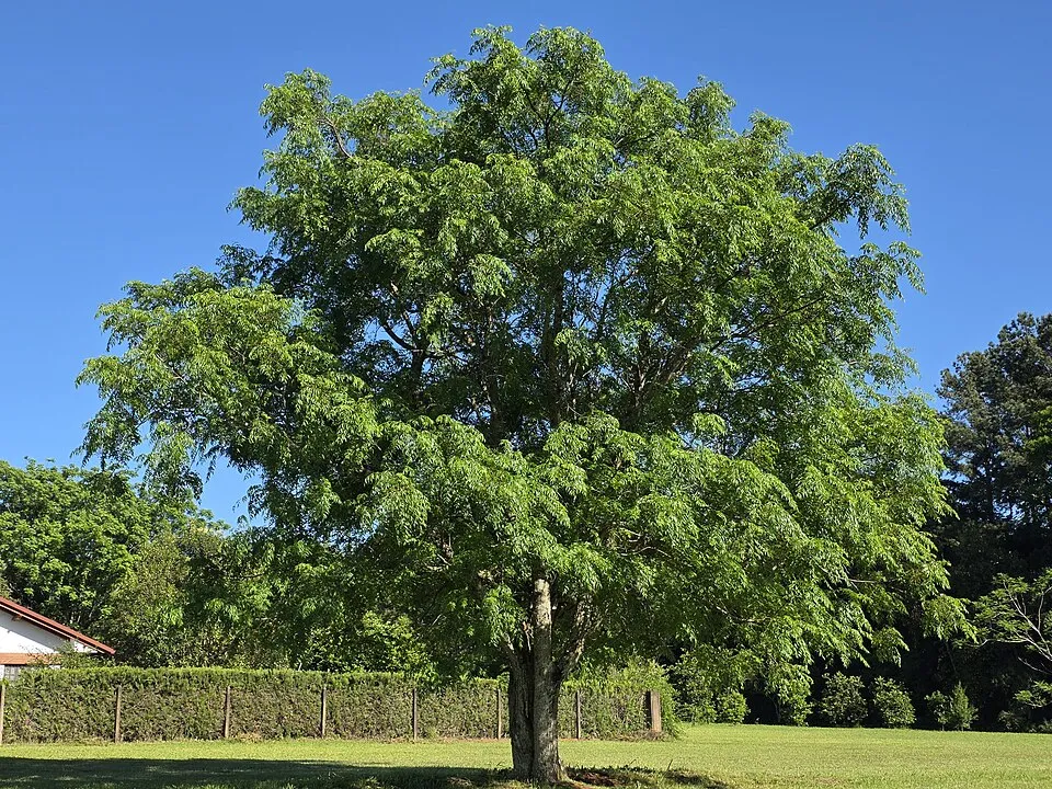 Russian olive
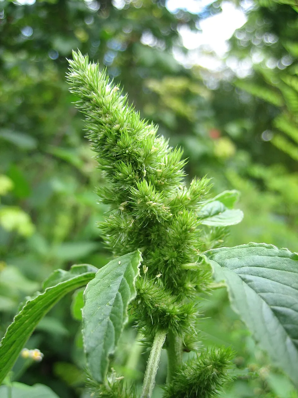 Common Amaranth
 Black locust
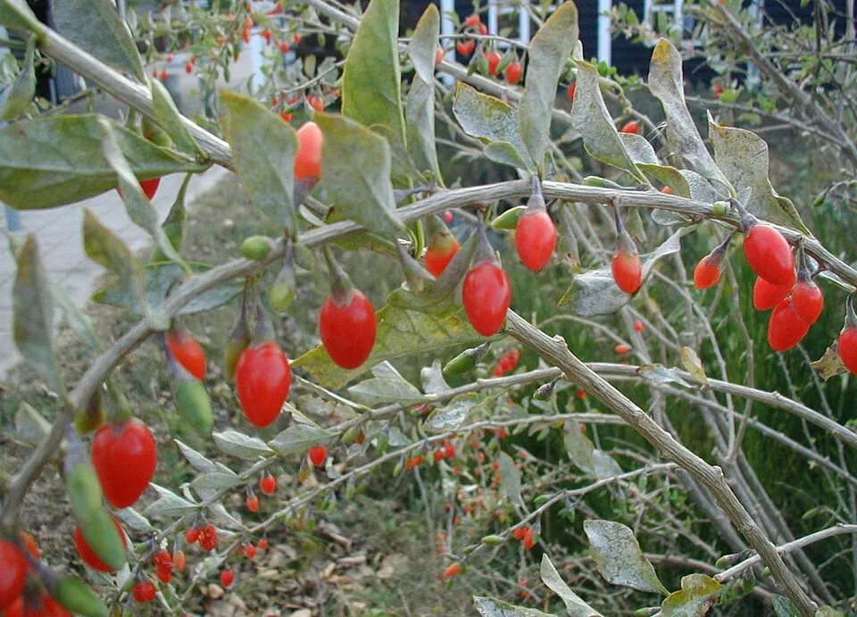 Matrimony vine
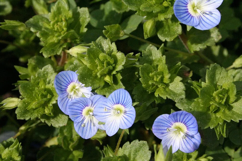 Common field-speedwell
Photos: Tree-of-heaven © Darkone · CC BY-SA 2.5; Small balsam © André Karwath aka Aka · CC BY-SA 2.5; Canada Horseweed © Andrey Zharkikh from Salt Lake City, USA · CC BY 2.0; Russian olive © Horacio Cambeiro · CC BY-SA 4.0; Common Amaranth © Lynk media · CC BY-SA 3.0; Black locust © This Photo was taken by Wolfgang Moroder. Feel free to use my photos, but please mention me as the author and send me a message. This image is not in the public domain. Please respect the copyright protection. It may only be used according… · CC BY-SA 3.0; Matrimony vine © Sten Porse · CC BY-SA 3.0; Common field-speedwell © Strobilomyces · CC BY-SA 3.0
Sources: Global Forest Change (Hansen et al., University of Maryland, via Global Forest Watch, CC-BY 4.0); EFFIS, European Commission / Copernicus; NASA Black Marble 2016 (public domain); CORINE Land Cover 2018 (Copernicus) or MODIS.
CORINE Land Cover Change 1990–2018: generated using European Union's Copernicus Land Monitoring Service information (EEA), aggregated by Parkavela; DOI 10.2909/f30f1000-7cf8-43bb-872c-5eb093911b24.
Ecological status of water bodies: European Environment Agency, WISE – Water Framework Directive, 3rd river basin management plans (2022), CC BY 4.0. Official national classification, not comparable between countries.
Invasive alien species: Global Register of Introduced and Invasive Species (ISSG, CC BY 4.0); Union list, Regulation (EU) 1143/2014 (INBO, CC0); GBIF.org records (CC0 / CC BY 4.0), at least 2 per species.
Practical information
Cities and airport
- Brno
34 km as the crow flies - Vienna
66 km as the crow flies - Airport: Brno-Tuřany (BRQ)
30 km as the crow flies
Visitor information
- Správa jeskyně Na Turoldu
within the site - Turistické informační centrum Mikulov
within the site - YachtClub Dyje - recepce
< 1 km from the site boundary - Infocentrum Zaječí
3 km from the site boundary
Things to see
1 lake or pond · 2 caves
- Křivé jezero
lake or pond · 163 m - Na Turoldu
cave - Liščí díra
cave
Hiking
15 waymarked routes listed, including:
Svatojakubská cesta, Česko, Moravskoslezská trasa[Č] Soutok Svitavy a SvratkyJakobsweg WeinviertelVia Czechia[M] Mikulov
By bike
41 41 Břeclav - Nový Přerov · 4 km5044 · 12 kmMVS Moravská vinná stezka · 12 kmSH Stará hora · 9 km
Signed cycle routes: this does not mean that cycling is allowed on footpaths.
Data © OpenStreetMap contributors (ODbL) · Wikidata (CC0)
Routes © OpenStreetMap contributors (ODbL), via Waymarked Trails
Waymarked hiking routes
Svatojakubská cesta, Česko, Moravskoslezská trasa
15.8 km within the site ↗ 588 m↘ 592 m 188–528 m
0521 [Č] Soutok Svitavy a Svratky - Mikulov (CZ/AT)
14.4 km within the site ↗ 506 m↘ 498 m 188–528 m
VIA-CZE-204 Via Czechia - Jižní (4. Dolnomoravský úval)
8.8 km within the site ↗ 207 m↘ 144 m 175–357 m
VIA-CZE-205 Via Czechia - Jižní (5. Mikulovská vrchovina a Dyjskosvratecký úval)
14.3 km within the site ↗ 365 m↘ 524 m 242–533 m
Tracks © OpenStreetMap contributors (ODbL), clipped to the boundary; elevation gain and profiles computed on the longest section from Mapzen Terrain Tiles (≈ 30 m), indicative only.
Access and visiting
The nearest railway station is Sedlec u Mikulova, less than 1 km from the site boundary. Nearest towns of over 50,000 people, as the crow flies: Brno (34 km) and Vienna (66 km). Nearest airport: Brno-Tuřany (BRQ), about 30 km away. About 180,000 people live within 20 km of the site boundary, 55,000 of them within 10 km; some 9,900 people are estimated to live inside (GHSL estimate, 2020). Visitor information on site: Správa jeskyně Na Turoldu, Turistické informační centrum Mikulov and YachtClub Dyje - recepce. Waymarked hiking routes listed in OpenStreetMap: 15, including Svatojakubská cesta, Česko, Moravskoslezská trasa, [Č] Soutok Svitavy a Svratky, Jakobsweg Weinviertel and Via Czechia. The site is crossed by 8 signed cycle routes, including “41 41 Břeclav - Nový Přerov” and “5044” (OpenStreetMap). To see: 1 lake or pond and 2 caves, including Křivé jezero (163 m), Na Turoldu and Liščí díra. To plan a visit (access, opening periods, visitor rules), it is best to consult the official information from the managing body and the official website listed in this page's sources.
Source: OpenStreetMap (ODbL), Wikidata (CC0), October 2026.
Built heritage
According to Wikidata, 291 monuments listed in the Czech central register of cultural monuments stand within the boundary, 4 of them national cultural monuments. Among them are 207 houses and civic buildings, 30 religious buildings and 8 castles and fortifications. Nationally designated items include “Stations of the Cross” in Mikulov, “Dolní Věstonice” in Dolní Věstonice and “Archaeological site Pavlov I” in Pavlov.
207 houses and civic buildings30 religious buildings8 castles and fortifications6 prehistoric and archaeological sites
-
Stations of the Cross
National
Mikulov · 17th c. -
Dolní Věstonice
National
Dolní Věstonice -
Archaeological site Pavlov I
National
Pavlov -
Barokní hřbitov v Pavlově
Pavlov -
Castle Neuhäusel
Perná -
Paleolitické sídliště Dolní Věstonice I
Dolní Věstonice -
Dům U Rytířů
Mikulov -
Boží muka pod Turoldem v Mikulově
Mikulov
and 283 more
Source: Wikidata (CC0), monuments in each country’s official heritage protection registers, at national or regional level. Each item links to its Wikidata entry.
When to visit
Mildest period: from June to August, with average temperatures of 18 to 21 °C. Average temperatures drop below 0 °C in January: frost is common. Precipitation peaks in July (up to 80 mm per month). Snow only makes brief appearances in winter (about 20 days a year on average, MODIS satellites 2015–2025). Day length ranges from about 8 h 16 min in December to 16 h 09 min in June. Wildlife records published on GBIF peak for birds (July), plants (from June to August) and butterflies and moths (from July to September). These peaks also reflect when observers are most active.
Source: Copernicus ERA5-Land (C3S), monthly averages 1996–2025 at the representative point, temperatures adjusted for elevation.
Contains modified Copernicus Climate Change Service information 2026. Neither the European Commission nor ECMWF is responsible for any use that may be made of the Copernicus information or data it contains.
Wildlife records calendar
JFMAMJJASOND
Birds
Plants
Butterflies & moths
Monthly records published on GBIF (CC-BY), relative to the busiest month; also reflects observer activity.
Gallery
© Amic · Public domain
© Huhulenik · CC BY 3.0
© Martin Vavřík · CC BY-SA 3.0
© Daniel Baránek · CC BY-SA 4.0
© Tadeáš Bednarz · CC BY-SA 4.0
© Tadeáš Bednarz · CC BY-SA 4.0
Sources and licences
- Wikidata: Q1815090
- OpenStreetMap: relation 2022069
- Official website: https://palava.aopk.gov.cz
- Wikipedia: en.wikipedia.org/wiki/Pálava_Protected_Landscape_Area
- WDPA: 344546
References
- cds.climate.copernicus.eu: climate · CC-BY-4.0
- registry.opendata.aws: elevation of the reference point, detailed relief · PD
- land.copernicus.eu: land cover, land cover change, sea share · COPERNICUS
- doi.org: population around the site · CC-BY-4.0
- wikidata.org: official area, establishment date, protected heritage, nearby cities and airport, access and peaks, lake depths, places to see, official website · CC0-1.0
- eea.europa.eu: bathing water quality, ecological status of waters · CC-BY-4.0
- en.eurovelo.com: EuroVelo cycle routes · ODbL-1.0
- cycling.waymarkedtrails.org: cycle routes · ODbL-1.0
- opentopodata.org: elevations · PD
- forest-fire.emergency.copernicus.eu: wildfires · COPERNICUS
- globalforestwatch.org: tree cover loss · CC-BY-4.0
- gbif.org: seasonality of sightings, invasive alien species, observed species · CC-BY-4.0
- europe-geology.eu: geology · CC-BY-4.0
- hydrosheds.org: lakes · CC-BY-4.0
- natura2000.eea.europa.eu: Natura 2000 habitats and species · CC-BY-4.0
- openstreetmap.org: official name, access and peaks, trail difficulty, wheelchair access · ODbL-1.0
- earthobservatory.nasa.gov: night light · PD
- hiking.waymarkedtrails.org: route difficulty · ODbL-1.0
- nsidc.org: snow cover · PD
- wikidata.org: Wikipedia article · CC-BY-SA-4.0
Data © OpenStreetMap contributors (ODbL), Wikidata (CC0) and the sources cited.