
Czechia · Terrestrial
Moravský kras Protected Landscape Area
Protected landscape area of 9,682 hectares in Czechia, established in 1956.
Overview
Protected landscape area of 9,682 hectares in Czechia, established in 1956.
Moravský kras Protected Landscape Area is located in Czechia (Europe). It is a predominantly terrestrial area. Established on 28 August 1956, it covers about 9,682 hectares.
Protections and designations
Ramsar site
Natura 2000 · habitats (SAC)
- Moravský kras CZ0624130
Designated as a protected landscape area. International labels and designations: Ramsar site (“Podzemní Punkva”) and Natura 2000 network (1 site: “Moravský kras”). Key dates: established in 1956, Ramsar Site in 2004 and first Natura 2000 site under the Habitats Directive in 2008.
In our collections
Timeline
-
1956
Established
-
2004
Ramsar Site (wetland of international importance) Podzemní Punkva
-
2008
First Natura 2000 site under the Habitats Directive
Sources: Wikidata (CC0) for establishment and international labels; EEA Natura 2000 database (CC-BY 4.0) for site designation dates.
Frequently asked questions
Where is Moravský kras Protected Landscape Area?
In Czechia (Europe). Representative point: 49.3439° N, 16.7133° E.
How large is Moravský kras Protected Landscape Area?
About 9,682 hectares (97 km²). It is the 23rd largest of the 27 protected landscape areas in Czechia covered by Parkavela.
When was Moravský kras Protected Landscape Area established?
On 28 August 1956.
What habitats and landscapes does Moravský kras Protected Landscape Area include?
A terrestrial area, with forests.
What rocks lie beneath Moravský kras Protected Landscape Area?
According to the European 1:1 million geological map (EGDI), the bedrock consists mainly of limestones (71% of sampled points) and phyllites and slates (14%). These are mostly sedimentary rocks. The geological units date mainly from the Carboniferous (86% of sampled points).
What are the main summits of Moravský kras Protected Landscape Area?
Neselov (546 m), Strážná (538 m), Močová (515 m), Jelenec (509 m) and Špičák (497 m) (OpenStreetMap).
Which international labels apply to Moravský kras Protected Landscape Area?
Ramsar site (“Podzemní Punkva”) and Natura 2000 network (1 site: “Moravský kras”).
When is the best time to visit Moravský kras Protected Landscape Area?
Mildest period: from June to August, with average temperatures of 17 to 19 °C.
Is there snow in Moravský kras Protected Landscape Area?
Yes. According to NASA's MODIS satellites (2015–2025 average), snow covers the site about 35 days a year, mostly from December to February.
What is there to see in Moravský kras Protected Landscape Area?
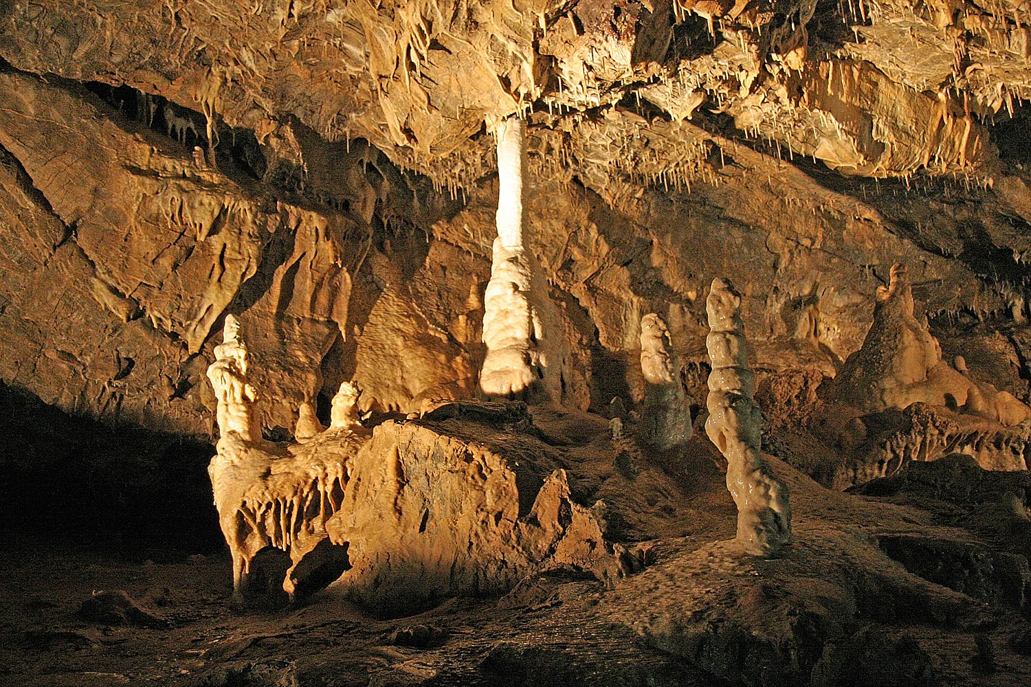
4 waterfalls, 3 lakes and ponds and 95 caves, including Rudické propadání, Dolní macošské jezírko (351 m), Býčí skála and Vodopád u Boří (Wikidata).
Are there historic monuments in Moravský kras Protected Landscape Area?
Yes. According to Wikidata, 22 monuments listed in the Czech central register of cultural monuments stand within the boundary, 1 of them a national cultural monument. For example: “Stará huť” in Adamov.
What is the nearest large city to Moravský kras Protected Landscape Area?
Nearest towns of over 50,000 people, as the crow flies: Brno (6 km) and Olomouc (40 km). Nearest airport: Brno-Tuřany (BRQ), about 7 km away.
How can I reach Moravský kras Protected Landscape Area by train?
The nearest railway station is Adamov zastávka, less than 1 km from the site boundary.
Where can I get visitor information on site?
Mokerská myslivna, Horákovská myslivna and Turistické informační centrum.
Are there waymarked hiking trails in Moravský kras Protected Landscape Area?
Yes. Waymarked hiking routes listed in OpenStreetMap: 46, including Cyrilometodějská stezka, Svatojakubská cesta, Česko, Moravskoslezská trasa, [Č] Okruh památníku lesníků and [M] Alexandrova rozhl. The “110531 · [Č] Luleč - Macocha - Brno Mokrá Hora (MHD)” route runs for about 30 km through the site, with some 320 m of ascent on its longest section.
Which species can be seen in Moravský kras Protected Landscape Area?
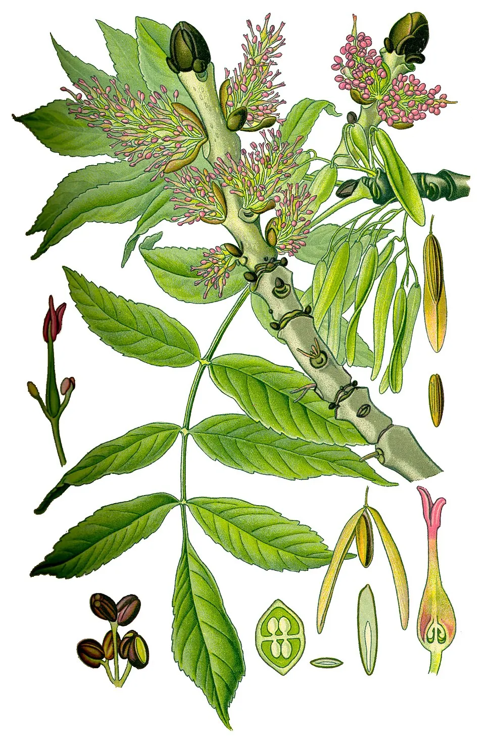
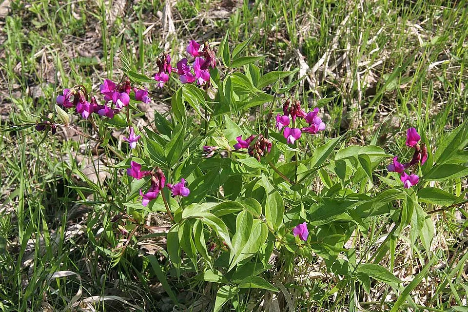
Among the species most often recorded on GBIF are Fagus sylvatica (European Beech), Fraxinus excelsior (European ash), Carpinus betulus (Hornbeam) and Lathyrus vernus (Spring vetch).
What is the official website of Moravský kras Protected Landscape Area?
© OpenStreetMap
Download the boundary: GeoJSON · GPX Boundary © OpenStreetMap contributors (ODbL).
Geography
The representative point of the site lies at around 510 m above sea level. Over the 1996–2025 period, the mean annual temperature is about 8.5 °C and total precipitation reaches roughly 730 mm per year. The warmest month is usually July, the coolest January, and the wettest July. According to the European 1:1 million geological map (EGDI), the bedrock consists mainly of limestones (71% of sampled points) and phyllites and slates (14%). These are mostly sedimentary rocks. The geological units date mainly from the Carboniferous (86% of sampled points).
Area
- Area
- 9,682 ha
- Elevation
- 510 m
- Median elevation
- 480 m
- Mean slope
- 8°
- Snow cover
- ≈ 35 days a year
- Coordinates
- 49.3439, 16.7133
Terrain: Mapzen Terrain Tiles (SRTM, USGS)
Bedrock
- Limestones 71 %
- Phyllites and slates 14 %
- Conglomerates and breccias 7 %
- Clays and silts 7 %
Sedimentary rocks 86 % · Metamorphic rocks 14 % · Main age: Carboniferous (86%)
Source: EGDI 1:1M geological map (EuroGeoSurveys and national geological surveys), CC BY 4.0 · 14 sampled points within the site.
Main summits
- Neselov546 m
- Strážná538 m
- Močová515 m
- Jelenec509 m
- Špičák497 m
- Chobot496 m
- Vyškůvka472 m
- Blansek465 m
- Hády424 m
- Na Horce408 m
Data © OpenStreetMap contributors (ODbL)
Climate
● Mean temperature (°C) · ▮ Precipitation (mm)
Source: Copernicus ERA5-Land (C3S, doi:10.24381/cds.68d2bb30), monthly averages 1996–2025 interpolated to the representative point, temperatures adjusted for elevation.
Contains modified Copernicus Climate Change Service information 2026. Neither the European Commission nor ECMWF is responsible for any use that may be made of the Copernicus information or data it contains.
Snow cover measured by satellite
J
F
M
A
M
J
J
A
S
O
N
D
average share of the site under snow · snowiest parts · ≈ 35 days a year
Snow cover: MODIS/Terra MOD10CM v61 (Hall & Riggs, 2021, NASA NSIDC DAAC, doi:10.5067/MODIS/MOD10CM.061), imagery from NASA GIBS (ESDIS); 2015–2025 average, grid of about 5 km.
Natural habitats
According to CORINE Land Cover (2018), the site is mainly made up of forests (62%), farmland (25%) and built-up or developed land (6%). Woodland mixes broadleaved and coniferous trees. Elevation ranges from about 300 to 580 m (sampled elevations, SRTM). The Natura 2000 site overlapping the area lists 15 habitats of European interest (7 priority), the most extensive being Asperulo-Fagetum beech forests, Galio-Carpinetum oak-hornbeam forests and Pannonic woods with Quercus petraea and Carpinus betulus.
Biodiversity
Based on occurrences aggregated by GBIF, several species are regularly recorded within the site. Among the most frequent are Fagus sylvatica (European Beech), Fraxinus excelsior (European ash), Carpinus betulus (Hornbeam) and Lathyrus vernus (Spring vetch). The full list of documented taxa is shown below. The overlapping Natura 2000 site lists 12 species of European interest: 5 mammals, 1 fish, 2 invertebrates and 4 plants.
Habitats of European interest
From the official form of the Natura 2000 site overlapping the area (areas reported for the whole site).
- Asperulo-Fagetum beech forests 2,082 ha
- Galio-Carpinetum oak-hornbeam forests 800 ha
- Pannonic woods with Quercus petraea and Carpinus betulus priority 612 ha
- Lowland hay meadows (Alopecurus pratensis, Sanguisorba officinalis) 350 ha
- Tilio-Acerion forests of slopes, screes and ravines priority 254 ha
- Semi-natural dry grasslands and scrubland facies on calcareous substrates (Festuco-Brometalia) (* important orchid sites) 80 ha
- Medio-European limestone beech forests of the Cephalanthero-Fagion 78 ha
- Alluvial forests with Alnus glutinosa and Fraxinus excelsior (Alno-Padion, Alnion incanae, Salicion albae) priority 53 ha
and 7 more
Species of European interest
Mammals · 5
Barbastelle (Barbastella barbastellus), Bechstein's bat (Myotis bechsteinii), Geoffroy's bat (Myotis emarginatus), Greater mouse-eared bat (Myotis myotis), Lesser horseshoe bat (Rhinolophus hipposideros)
Fish · 1
Invertebrates · 2
Jersey Tiger (Euplagia quadripunctaria), Violet click beetle (Limoniscus violaceus)
Plants · 4
Buxbaumia moss (Buxbaumia viridis), Lady's-slipper orchid (Cypripedium calceolus), Pontechium maculatum subsp. maculatum, Greater Pasque Flower (Pulsatilla grandis)
Source: Natura 2000 standard data forms (EEA, CC-BY 4.0). Not exhaustive: sensitive species are not published.
Species to look out for
Plant
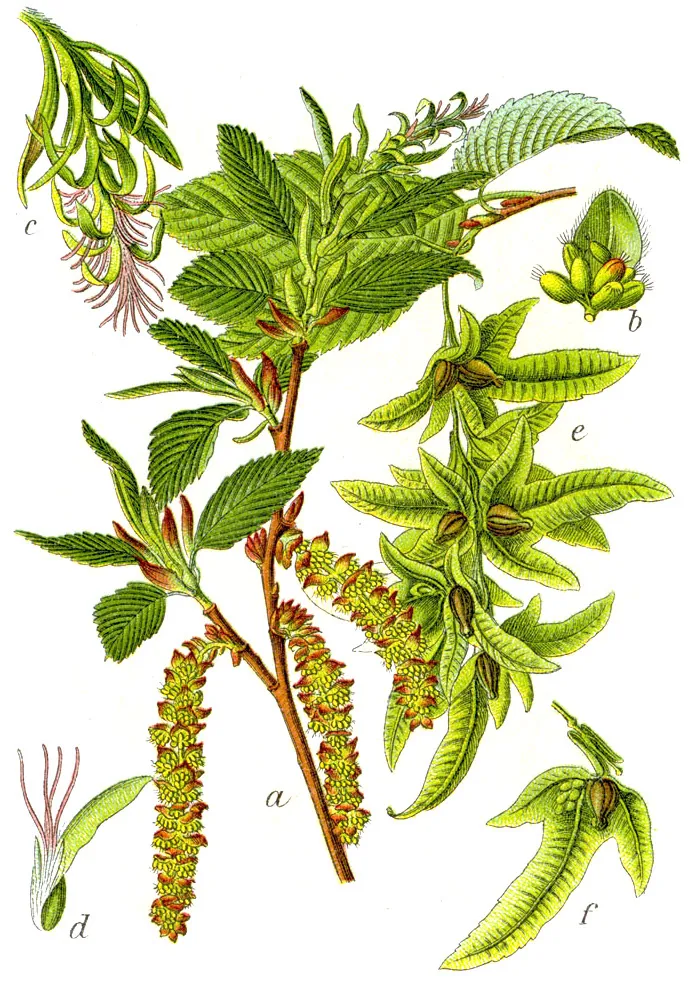
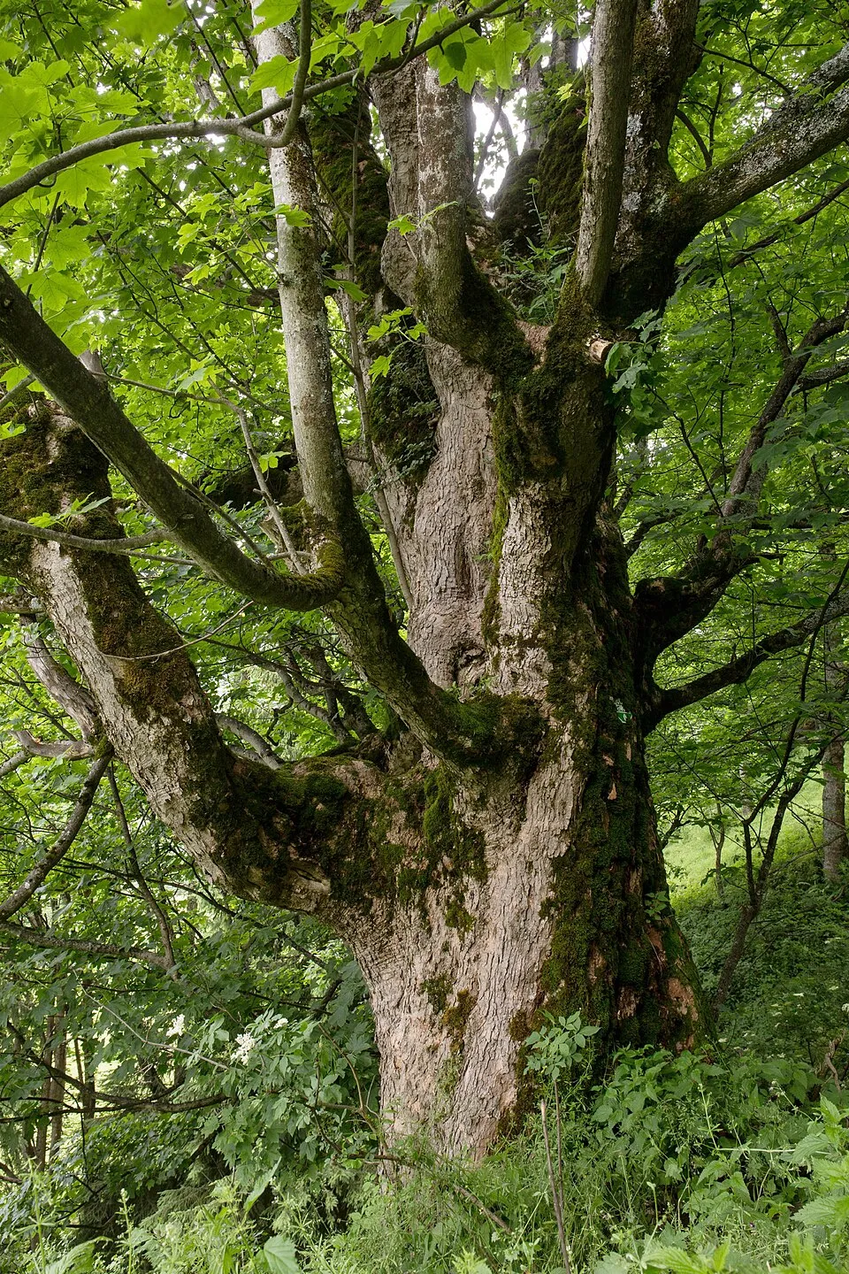
Hornbeam
Carpinus betulus709 records © Johann Georg Sturm (Painter: Jacob Sturm) · Public domain

Observed species
Occurrences documented via GBIF; they are neither an exhaustive inventory nor proof of current presence.
- European Beech · Fagus sylvatica · 824
- European ash · Fraxinus excelsior · 737
- Hornbeam · Carpinus betulus · 709
- Spring vetch · Lathyrus vernus · 596
- Sycamore · Acer pseudoplatanus · 543
- Field Maple · Acer campestre · 503
- Sweet woodruff · Galium odoratum · 455
- Cypress Spurge · Euphorbia cyparissias · 452
- White swallow-wort · Vincetoxicum hirundinaria · 424
- Norway Maple · Acer platanoides · 417
- Maidenhair Spleenwort · Asplenium trichomanes · 411
- Herb-robert · Geranium robertianum · 394
+18 more species
- Hepatica · Hepatica nobilis · 391
- Yellow Archangel · Lamium galeobdolon · 383
- Chinese Thoroughwax · Bupleurum falcatum · 345
- Wood bluegrass · Poa nemoralis · 336
- Fly honeysuckle · Lonicera xylosteum · 333
- Dog's mercury · Mercurialis perennis · 331
- Wild strawberry · Fragaria vesca · 325
- Hylotelephium maximum · 325
- Hazel · Corylus avellana · 316
- Common Nettle · Urtica dioica · 316
- Furrowed fescue · Festuca rupicola · 305
- Wood-sorrel · Oxalis acetosella · 302
- Cornelian cherry · Cornus mas · 290
- Wall germander · Teucrium chamaedrys · 288
- Wood melick · Melica uniflora · 281
- Hypnum moss · Hypnum cupressiforme · 279
- Sessile Oak · Quercus petraea · 277
- Wall hawkweed · Hieracium murorum · 277
Records: GBIF.org (CC-BY). Names: Wikidata (CC0), GBIF. Photos: Wikimedia Commons.
Conservation challenges
The primary purpose of the site is to preserve its natural habitats and the biodiversity they support. The species recorded (Biodiversity tab) reflect its ecological value. The designations it holds frame its management and the control of land use.
According to Global Forest Change data (University of Maryland, Global Forest Watch), about 962 ha of tree cover were lost within the boundary between 2001 and 2023 (10% of its area), peaking in 2005 and 2020. These losses include logging, storms and fires, and do not account for regrowth. According to the European CORINE Land Cover inventory (Copernicus), land cover changed on about 61 ha of the site between 1990 and 2018 (under 1% of its area): built-up land grew by 61 ha, mostly at the expense of farmland, while farmland shrank by 61 ha, mostly giving way to built-up land. Forest felling and regrowth add about 130 ha in total over the period. At night, 8% of the area gives off artificial light detectable from space (NASA VIIRS Black Marble composite, 2016). Built-up and developed land (buildings, business areas, roads, quarries) covers 6% of the area, and farmland 25% (CORINE Land Cover). According to the Natura 2000 forms, of 15 assessed habitats of European interest, 6 are in excellent condition and the rest in good condition. According to the Water Framework Directive assessment (2022 river basin management plans, data 2016–2018), none of the 30 km of rivers assessed within the site reaches good ecological status; they mostly have moderate ecological status. Since 2000, 12 invasive alien species have been recorded within the site (GBIF observations), one of them listed as of Union concern under EU Regulation 1143/2014. Among them: Impatiens glandulifera (Himalayan Balsam), Impatiens parviflora (Small balsam) and Matricaria discoidea (Pineappleweed).
Pressure indicators
Tree cover lost
962 ha
2001–2023 · 10% of the area
20012023
Fires since 2016
0
No large fire mapped (fires over about 30 ha)
Light at night
8%
of the area gives off artificial light visible from space
DarkLit
Built-up land
6%
buildings, business areas, roads, quarries · farmland 25%
Land cover change
61 ha
changed cover, 1990–2018 · CORINE · < 1% of the area
- +61 ha · built-up land
- −61 ha · farmland
forest felling and regrowth: 130 ha in total
Rivers and lakes
0%
of the 30 km of assessed rivers in good or high ecological status · WFD 2022
assessments 2016–2018
Invasive alien species
12
incl. 1 of EU concern · since 2000
 Himalayan BalsamEU
 Small balsam
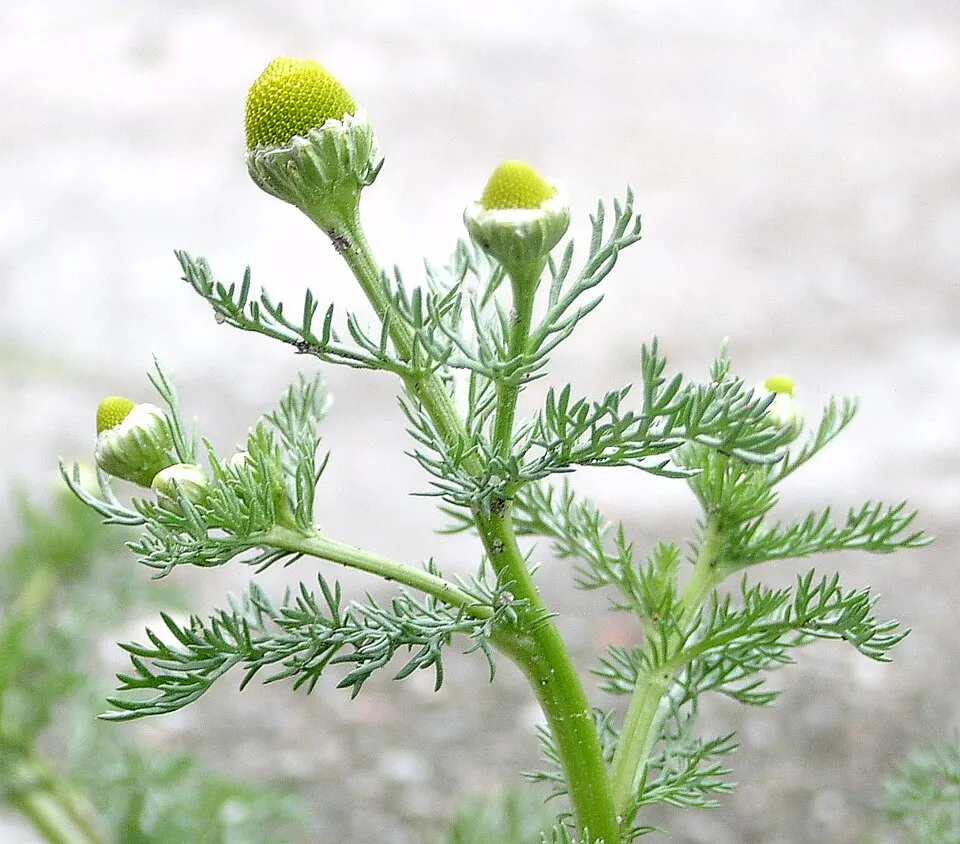 Pineappleweed
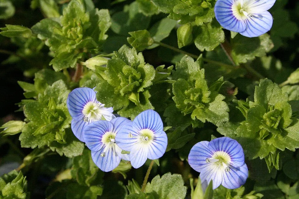 Common field-speedwell
 Japanese rose
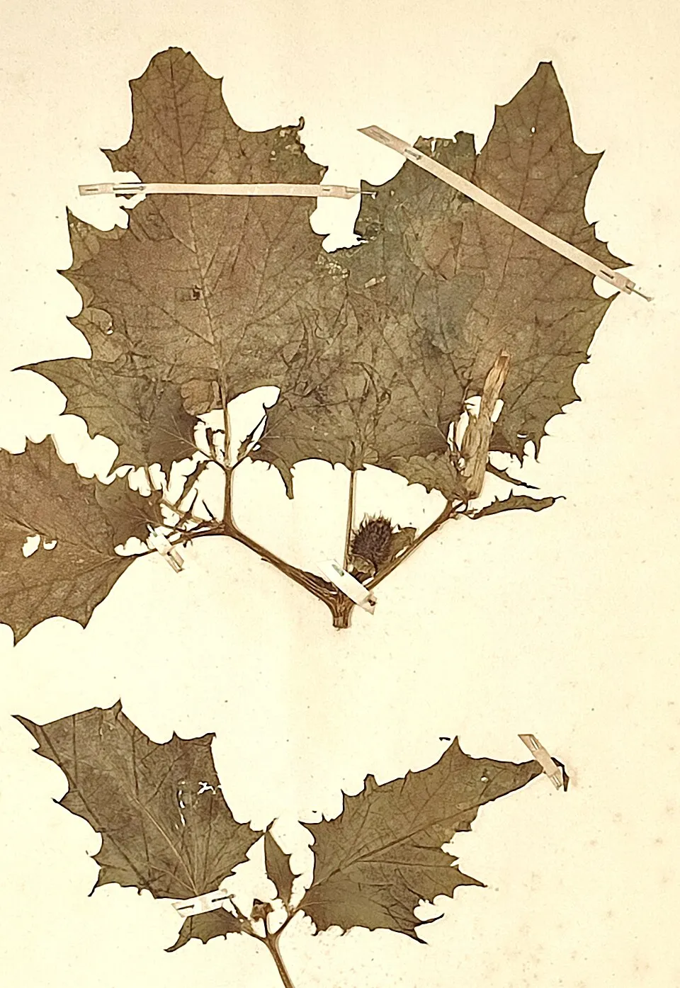 Jimsonweed
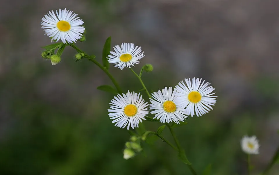 Eastern daisy fleabane
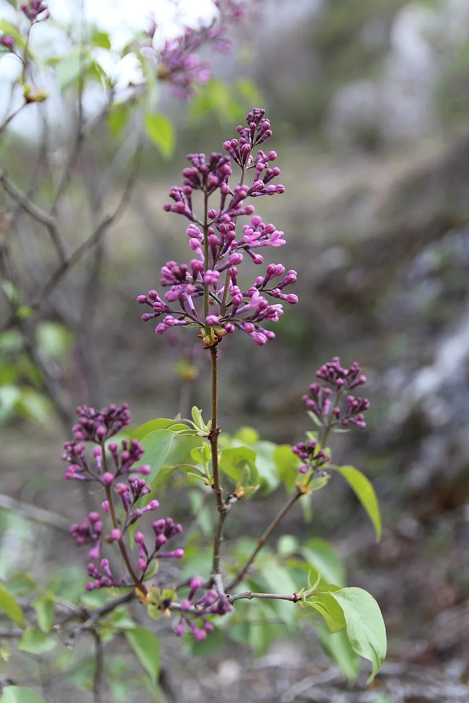 Common Lilac
Photos: Himalayan Balsam © Guptaele · CC BY-SA 4.0; Small balsam © André Karwath aka Aka · CC BY-SA 2.5; Pineappleweed © Krzysztof Ziarnek · CC BY-SA 3.0; Common field-speedwell © Strobilomyces · CC BY-SA 3.0; Japanese rose © Vihljun · Public domain; Jimsonweed © Giuseppe Frizzi · Public domain; Eastern daisy fleabane © W. Bulach · CC BY-SA 4.0; Common Lilac © Aporia.j · CC BY-SA 4.0
Sources: Global Forest Change (Hansen et al., University of Maryland, via Global Forest Watch, CC-BY 4.0); EFFIS, European Commission / Copernicus; NASA Black Marble 2016 (public domain); CORINE Land Cover 2018 (Copernicus) or MODIS.
CORINE Land Cover Change 1990–2018: generated using European Union's Copernicus Land Monitoring Service information (EEA), aggregated by Parkavela; DOI 10.2909/f30f1000-7cf8-43bb-872c-5eb093911b24.
Ecological status of water bodies: European Environment Agency, WISE – Water Framework Directive, 3rd river basin management plans (2022), CC BY 4.0. Official national classification, not comparable between countries.
Invasive alien species: Global Register of Introduced and Invasive Species (ISSG, CC BY 4.0); Union list, Regulation (EU) 1143/2014 (INBO, CC0); GBIF.org records (CC0 / CC BY 4.0), at least 2 per species.
Practical information
Cities and airport
- Brno
6 km as the crow flies - Olomouc
40 km as the crow flies - Airport: Brno-Tuřany (BRQ)
7 km as the crow flies
Visitor information
- Mokerská myslivna
< 1 km from the site boundary - Horákovská myslivna
2 km from the site boundary - Turistické informační centrum
within the site - Informační centrum Macocha
within the site
Things to see
4 waterfalls · 3 lakes and ponds · 95 caves
- Rudické propadání
waterfall - Dolní macošské jezírko
lake or pond · 351 m - Býčí skála
cave - Vodopád u Boří
waterfall - Horní macošské jezírko
lake or pond · 352 m
Hiking
46 waymarked routes listed, including:
Cyrilometodějská stezkaSvatojakubská cesta, Česko, Moravskoslezská trasa[Č] Okruh památníku lesníků[M] Alexandrova rozhl.[Č] Luleč[M] Senařov
By bike
EV9 · 13 km 5 5 Jantarová stezka · 23 km507 507 Ostrov u Macochy - Kepkov, rozc. · 3 kmStezka srdcem Jižní Moravy · 24 kmStezka Srdcem jižní Moravy - hlavní trasa · 13 km
Signed cycle routes: this does not mean that cycling is allowed on footpaths.
Wheelchair access
- Turistické informačné centrum Ostrov u Macochy
visitor information - Horní můstek
viewpoint
accessible toilets: 5
Reported by OpenStreetMap contributors (ODbL); check with the park before visiting.
Data © OpenStreetMap contributors (ODbL) · Wikidata (CC0)
Contains information from EuroVelo GPX tracks downloaded from www.EuroVelo.com on 2026-10-22, which is made available here under the Open Database License (ODbL). EuroVelo® is a registered trademark of the ECF. Routes © OpenStreetMap contributors (ODbL), via Waymarked Trails
Waymarked hiking routes
Svatojakubská cesta, Česko, Moravskoslezská trasa
19.6 km within the site ↗ 162 m↘ 196 m 432–532 m
2055 [M] Alexandrova rozhl. - Na Újezdě (rozc.)
2.4 km within the site ↗ 31 m↘ 47 m 491–519 m
110531 [Č] Luleč - Macocha - Brno Mokrá Hora (MHD)
30 km within the site ↗ 319 m↘ 317 m 419–532 m
122013 [M] Brno-Medlánky (MHD) - Pod Ronovem
11.9 km within the site ↗ 278 m↘ 50 m 255–488 m
Tracks © OpenStreetMap contributors (ODbL), clipped to the boundary; elevation gain and profiles computed on the longest section from Mapzen Terrain Tiles (≈ 30 m), indicative only.
Access and visiting
The nearest railway station is Adamov zastávka, less than 1 km from the site boundary. Nearest towns of over 50,000 people, as the crow flies: Brno (6 km) and Olomouc (40 km). Nearest airport: Brno-Tuřany (BRQ), about 7 km away. About 700,000 people live within 20 km of the site boundary, 470,000 of them within 10 km; some 9,200 people are estimated to live inside (GHSL estimate, 2020). This population has grown by about 8% since 2000. Visitor information on site: Mokerská myslivna, Horákovská myslivna and Turistické informační centrum. Waymarked hiking routes listed in OpenStreetMap: 46, including Cyrilometodějská stezka, Svatojakubská cesta, Česko, Moravskoslezská trasa, [Č] Okruh památníku lesníků and [M] Alexandrova rozhl. The EuroVelo 9 cycle route (Baltic – Adriatic) crosses the site for about 13 km; 11 other signed cycle routes also pass through, including “5 5 Jantarová stezka” and “507 507 Ostrov u Macochy - Kepkov, rozc.” (EuroVelo, OpenStreetMap). OpenStreetMap contributors list 2 wheelchair-accessible places: Turistické informačné centrum Ostrov u Macochy and Horní můstek; check with the park before visiting. To see: 4 waterfalls, 3 lakes and ponds and 95 caves, including Rudické propadání, Dolní macošské jezírko (351 m), Býčí skála and Vodopád u Boří. To plan a visit (access, opening periods, visitor rules), it is best to consult the official information from the managing body and the official website listed in this page's sources.
Source: OpenStreetMap (ODbL), Wikidata (CC0), October 2026.
Built heritage
According to Wikidata, 22 monuments listed in the Czech central register of cultural monuments stand within the boundary, 1 of them a national cultural monument. Among them are 10 religious buildings, 3 castles and fortifications and 3 prehistoric and archaeological sites. Nationally designated items include “Stará huť” in Adamov.
10 religious buildings3 castles and fortifications3 prehistoric and archaeological sites2 bridges, lighthouses, mills and working buildings
-
Stará huť
National
Adamov · 18th c. -
Salm Cemetery
Sloup -
Holštejn Castle
Holštejn · 13th c. -
Býčí skála Cave
Habrůvka -
Windmill in Ostrov u Macochy
Ostrov u Macochy -
Bust of Josef Hybeš in Babice nad Svitavou
Babice nad Svitavou -
Church of Our Lady of Sorrows
Sloup · 18th c. -
Hradisko Chochola
Líšeň
and 14 more
Source: Wikidata (CC0), monuments in each country’s official heritage protection registers, at national or regional level. Each item links to its Wikidata entry.
When to visit
Mildest period: from June to August, with average temperatures of 17 to 19 °C. Average temperatures drop below 0 °C from December to February: frost is common. Precipitation peaks in July (up to 100 mm per month). According to NASA's MODIS satellites (2015–2025 average), snow covers the site about 35 days a year, mostly from December to February. Day length ranges from about 8 h 12 min in December to 16 h 14 min in June. Wildlife records published on GBIF peak for birds (May), plants (July), butterflies and moths (June and July) and mammals (February). These peaks also reflect when observers are most active.
Source: Copernicus ERA5-Land (C3S), monthly averages 1996–2025 at the representative point, temperatures adjusted for elevation.
Contains modified Copernicus Climate Change Service information 2026. Neither the European Commission nor ECMWF is responsible for any use that may be made of the Copernicus information or data it contains.
Wildlife records calendar
JFMAMJJASOND
Birds
Plants
Butterflies & moths
Mammals
Monthly records published on GBIF (CC-BY), relative to the busiest month; also reflects observer activity.
Gallery
© Prazak · CC BY 2.5
© Lukáš Malý · Public domain
© Prazak · CC BY 2.5
© Pernak1 · CC BY-SA 3.0
© Lukáš Malý · Public domain
© Jiří Komárek · CC BY-SA 4.0
Sources and licences
- Wikidata: Q8465457
- OpenStreetMap: relation 2022068
- Official website: https://moravskykras.aopk.gov.cz
References
- cds.climate.copernicus.eu: climate · CC-BY-4.0
- registry.opendata.aws: elevation of the reference point, detailed relief · PD
- land.copernicus.eu: land cover, land cover change, sea share · COPERNICUS
- doi.org: population around the site · CC-BY-4.0
- wikidata.org: official area, establishment date, protected heritage, official name, nearby cities and airport, access and peaks, lake depths, places to see, official website · CC0-1.0
- eea.europa.eu: bathing water quality, ecological status of waters · CC-BY-4.0
- en.eurovelo.com: EuroVelo cycle routes · ODbL-1.0
- cycling.waymarkedtrails.org: cycle routes · ODbL-1.0
- opentopodata.org: elevations · PD
- forest-fire.emergency.copernicus.eu: wildfires · COPERNICUS
- globalforestwatch.org: tree cover loss · CC-BY-4.0
- gbif.org: seasonality of sightings, invasive alien species, observed species · CC-BY-4.0
- europe-geology.eu: geology · CC-BY-4.0
- hydrosheds.org: lakes · CC-BY-4.0
- natura2000.eea.europa.eu: Natura 2000 habitats and species · CC-BY-4.0
- earthobservatory.nasa.gov: night light · PD
- openstreetmap.org: access and peaks, trail difficulty, wheelchair access · ODbL-1.0
- hiking.waymarkedtrails.org: route difficulty · ODbL-1.0
- nsidc.org: snow cover · PD
Data © OpenStreetMap contributors (ODbL), Wikidata (CC0) and the sources cited.