
Czechia · Terrestrial
Žďárské vrchy Protected Landscape Area
Protected landscape area of 70,889 hectares in Czechia, established in 1970.
Overview
Protected landscape area of 70,889 hectares in Czechia, established in 1970.
Žďárské vrchy Protected Landscape Area is located in Czechia (Europe). It is a predominantly terrestrial area. Established on 30 July 1970, it covers about 70,889 hectares.
Protections and designations
Natura 2000 · habitats (SAC) · 21 sites
- Babínský rybník CZ0613318
- Borová u Poličky CZ0533685
- Chotáry CZ0614136
- Dářská rašeliniště CZ0614053
- Dívka CZ0613809
- Doubravníček CZ0610514
- and 15 more
Designated as a protected landscape area. International labels and designations: Natura 2000 network (21 sites). Key dates: established in 1970 and first Natura 2000 site under the Habitats Directive in 2012.
In our collections
Timeline
-
1970
Established
-
2012
First Natura 2000 site under the Habitats Directive 16 such sites designated up to 2012
Sources: Wikidata (CC0) for establishment and international labels; EEA Natura 2000 database (CC-BY 4.0) for site designation dates.
Frequently asked questions
Where is Žďárské vrchy Protected Landscape Area?
In Czechia (Europe). Representative point: 49.6524° N, 16.0174° E.
How large is Žďárské vrchy Protected Landscape Area?
About 70,889 hectares (709 km²). It is the 6th largest of the 27 protected landscape areas in Czechia covered by Parkavela.
When was Žďárské vrchy Protected Landscape Area established?
On 30 July 1970.
What habitats and landscapes does Žďárské vrchy Protected Landscape Area include?
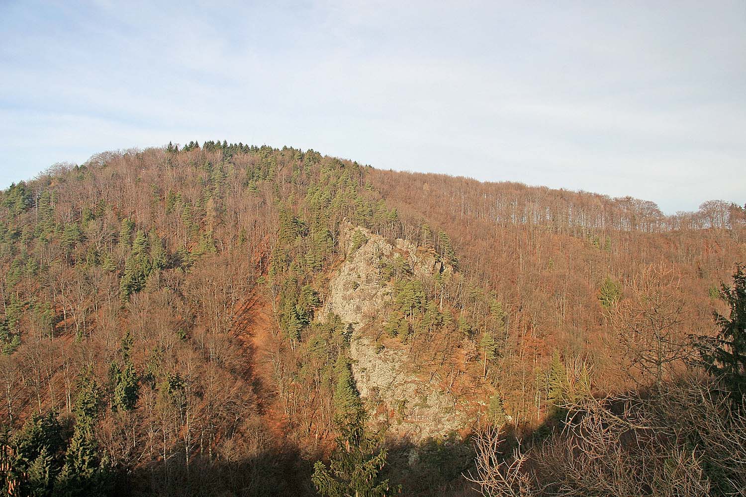
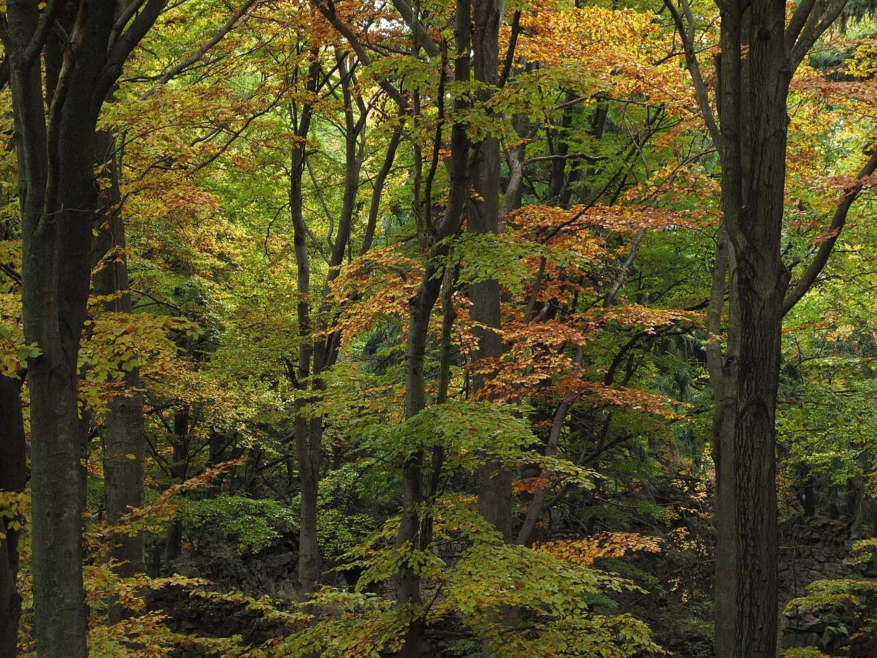
A terrestrial area, with forests.
What rocks lie beneath Žďárské vrchy Protected Landscape Area?
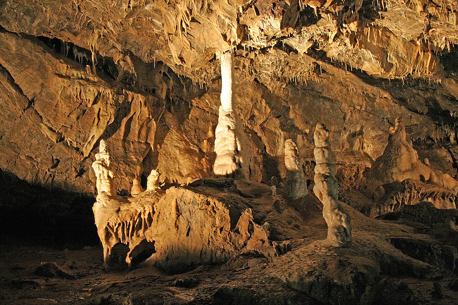
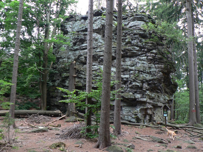
According to the European 1:1 million geological map (EGDI), the bedrock consists mainly of gneiss (85% of sampled points). These are mostly metamorphic rocks. The geological units date mainly from the Paleozoic (85% of sampled points).
What is the highest point of Žďárské vrchy Protected Landscape Area?
Devět skal, at 836 m (OpenStreetMap).
What are the main summits of Žďárské vrchy Protected Landscape Area?
Devět skal (836 m), Křovina (830 m), Křivý javor (823 m), Pasecká skála (823 m) and Kopeček (822 m) (OpenStreetMap).
Which international labels apply to Žďárské vrchy Protected Landscape Area?
Natura 2000 network (21 sites).
When is the best time to visit Žďárské vrchy Protected Landscape Area?
Mildest period: from June to August, with average temperatures of 15 to 17 °C.
Is there snow in Žďárské vrchy Protected Landscape Area?
Yes. According to NASA's MODIS satellites (2015–2025 average), snow covers most of the site from December to February, with about 75 snow-covered days a year on average.
What is there to see in Žďárské vrchy Protected Landscape Area?
Waterfall Vojnoměstecký vodopád (Wikidata).
Are there historic monuments in Žďárské vrchy Protected Landscape Area?
Yes. According to Wikidata, 412 monuments listed in the Czech central register of cultural monuments stand within the boundary, 2 of them national cultural monuments. For example: “Pilgrimage Church of Saint John of Nepomuk” in Žďár nad Sázavou (UNESCO World Heritage).
Can you swim in Žďárské vrchy Protected Landscape Area?
5 monitored bathing sites lie in or within 1 km of the site; official 2025 classification: 3 excellent and 2 good (European Environment Agency). Swimming is only permitted at the sites and times authorised locally.
What is the nearest large city to Žďárské vrchy Protected Landscape Area?
Nearest towns of over 50,000 people, as the crow flies: Jihlava (24 km) and Pardubice (28 km). Nearest airport: Pardubice (PED), about 26 km away.
How can I reach Žďárské vrchy Protected Landscape Area by train?
Hamry nad Sázavou railway station lies within the site.
Where can I get visitor information on site?
Santini tour, Turistické informační centrum and Informační centrum Nové Město nad Metují.
Are there waymarked hiking trails in Žďárské vrchy Protected Landscape Area?
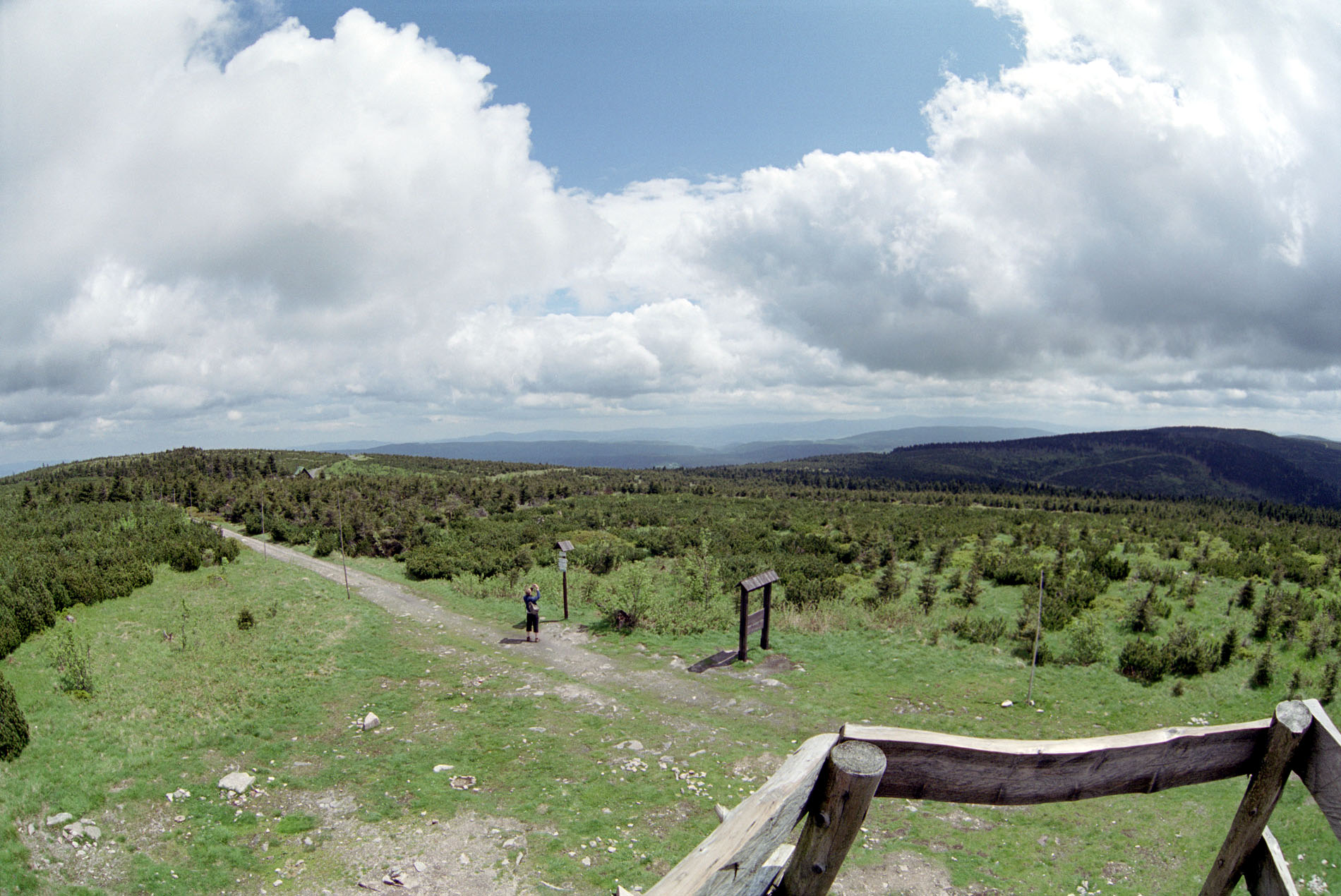
Yes. Waymarked hiking routes listed in OpenStreetMap: 63, including [Č] Cesta Karla Havlíčka Borovského, [M] Medlov, [Ž] Buchtův kopec and [Č] Nedvědice. The “110501 · [Č] Nedvědice - Přibyslav” route runs for about 54 km through the site, with some 1,160 m of ascent on its longest section.
Which species can be seen in Žďárské vrchy Protected Landscape Area?
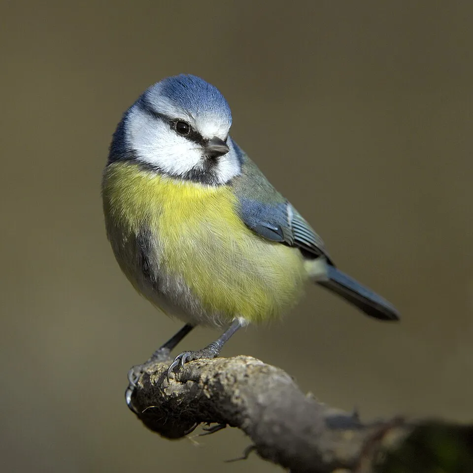
Among the species most often recorded on GBIF are Parus major (Great tit), Fringilla coelebs (Eurasian Chaffinch), Turdus merula (Common Blackbird) and Cyanistes caeruleus (Eurasian blue tit).
What is the official website of Žďárské vrchy Protected Landscape Area?
© OpenStreetMap
Download the boundary: GeoJSON · GPX Boundary © OpenStreetMap contributors (ODbL).
Geography
The representative point of the site lies at around 744 m above sea level. Over the 1996–2025 period, the mean annual temperature is about 7.0 °C and total precipitation reaches roughly 850 mm per year. The warmest month is usually July, the coolest January, and the wettest July. According to the European 1:1 million geological map (EGDI), the bedrock consists mainly of gneiss (85% of sampled points). These are mostly metamorphic rocks. The geological units date mainly from the Paleozoic (85% of sampled points). The site contains 8 lakes larger than 10 ha, totalling 3.9 km² of water (HydroLAKES).
Area
- Area
- 70,889 ha
- Elevation
- 744 m
- Median elevation
- 644 m
- Snow cover
- ≈ 75 days a year
- Lakes over 10 ha
- 8 (3.9 km²)
- Coordinates
- 49.6524, 16.0174
Terrain: Mapzen Terrain Tiles (SRTM, USGS) · Lakes: HydroLAKES (Messager et al. 2016, hydrosheds.org, CC BY 4.0) · depths: Wikidata (CC0)
Bedrock
- Gneiss 85 %
- Mudstones 8 %
- Granites 8 %
Metamorphic rocks 85 % · Sedimentary rocks 8 % · Igneous rocks 8 % · Main age: Paleozoic (85%)
Source: EGDI 1:1M geological map (EuroGeoSurveys and national geological surveys), CC BY 4.0 · 13 sampled points within the site.
Main summits
- Devět skal836 m
- Křovina830 m
- Křivý javor823 m
- Pasecká skála823 m
- Kopeček822 m
- Pohledecká skála813 m
- Malinská skála813 m
- Buchtův kopec813 m
- Žákova hora810 m
- Šindelný vrch806 m
Data © OpenStreetMap contributors (ODbL)
Climate
● Mean temperature (°C) · ▮ Precipitation (mm)
Source: Copernicus ERA5-Land (C3S, doi:10.24381/cds.68d2bb30), monthly averages 1996–2025 interpolated to the representative point, temperatures adjusted for elevation.
Contains modified Copernicus Climate Change Service information 2026. Neither the European Commission nor ECMWF is responsible for any use that may be made of the Copernicus information or data it contains.
Snow cover measured by satellite
J
F
M
A
M
J
J
A
S
O
N
D
average share of the site under snow · snowiest parts · ≈ 75 days a year
Snow cover: MODIS/Terra MOD10CM v61 (Hall & Riggs, 2021, NASA NSIDC DAAC, doi:10.5067/MODIS/MOD10CM.061), imagery from NASA GIBS (ESDIS); 2015–2025 average, grid of about 5 km.
Natural habitats
According to CORINE Land Cover (2018), the site is mainly made up of forests (47%), farmland (32%) and grassland and meadows (15%). Woodland is mostly coniferous. Elevation ranges from about 560 m to 836 m (highest point: Devět skal). The 21 Natura 2000 sites overlapping the area list 11 habitats of European interest (3 priority), the most extensive being bog woodland, alluvial forests with Alnus glutinosa and Fraxinus excelsior (Alno-Padion, Alnion incanae, Salicion albae) and Luzulo-Fagetum beech forests.
Biodiversity
Based on occurrences aggregated by GBIF, several species are regularly recorded within the site. Among the most frequent are Parus major (Great tit), Fringilla coelebs (Eurasian Chaffinch), Turdus merula (Common Blackbird) and Cyanistes caeruleus (Eurasian blue tit). The full list of documented taxa is shown below. The overlapping Natura 2000 sites list 13 species of European interest: 2 mammals, 1 amphibian, 2 fish, 4 invertebrates and 4 plants.
Habitats of European interest
From the official forms of the 21 Natura 2000 sites overlapping the area (areas reported for each whole site).
- Bog woodland priority 149 ha
- Alluvial forests with Alnus glutinosa and Fraxinus excelsior (Alno-Padion, Alnion incanae, Salicion albae) priority 101 ha
- Luzulo-Fagetum beech forests 81 ha
- Asperulo-Fagetum beech forests 71 ha
- Acidophilous Picea forests of the montane to alpine levels (Vaccinio-Piceetea) 47 ha
- Transition mires and quaking bogs 40 ha
- Molinia meadows on calcareous, peaty or clayey-silt-laden soils (Molinion caeruleae) 15 ha
- Species-rich Nardus grasslands, on silicious substrates in mountain areas (and submountain areas in Continental Europe) priority 7 ha
and 3 more
Species of European interest
Amphibians · 1
Invertebrates · 4
Yellow-spotted Whiteface (Leucorrhinia pectoralis), Dusky Large Blue (Maculinea nausithous), Scarce large blue (Maculinea teleius), Geyer's whorl snail (Vertigo geyeri)
Plants · 4
Buxbaumia moss (Buxbaumia viridis), Mossgrass (Coleanthus subtilis), Dicranum moss (Dicranum viride), Hamatocaulis moss (Hamatocaulis vernicosus)
Source: Natura 2000 standard data forms (EEA, CC-BY 4.0). Not exhaustive: sensitive species are not published.
Species to look out for



Bird
Great Spotted Woodpecker
Dendrocopos major1,169 records © Sławomir Staszczuk (info [AT] photoss.net) · CC BY-SA 3.0
Observed species
Occurrences documented via GBIF; they are neither an exhaustive inventory nor proof of current presence.
- Great tit · Parus major · 1877
- Eurasian Chaffinch · Fringilla coelebs · 1876
- Common Blackbird · Turdus merula · 1839
- Eurasian blue tit · Cyanistes caeruleus · 1455
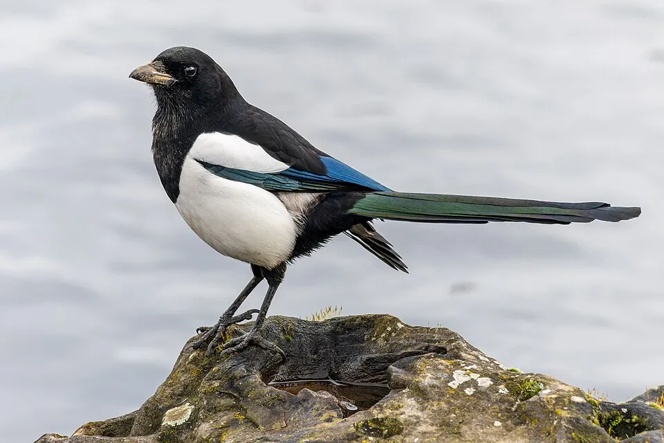
- Eurasian Magpie · Pica pica · 1305
- Great Spotted Woodpecker · Dendrocopos major · 1169
- Eurasian Bullfinch · Pyrrhula pyrrhula · 1157
- Common Chiffchaff · Phylloscopus collybita · 1058
- Eurasian Tree Sparrow · Passer montanus · 1031
- European Greenfinch · Chloris chloris · 1012
- Eurasian Nuthatch · Sitta europaea · 987
- Eurasian Siskin · Spinus spinus · 971
+18 more species
- Common Sedge · Carex nigra · 965
- Common Wood Pigeon · Columba palumbus · 899
- Fieldfare · Turdus pilaris · 887
- European Goldfinch · Carduelis carduelis · 783
- Tormentil · Potentilla erecta · 776
- Black Redstart · Phoenicurus ochruros · 772
- Velvet bent · Agrostis canina · 748
- Coal tit · Periparus ater · 726
- Red fescue · Festuca rubra · 721
- Marsh Thistle · Cirsium palustre · 711
- Fen bedstraw · Galium uliginosum · 702
- Common Starling · Sturnus vulgaris · 689
- Eurasian Blackcap · Sylvia atricapilla · 677
- Common Kestrel · Falco tinnunculus · 674
- European robin · Erithacus rubecula · 664
- Carnation sedge · Carex panicea · 658
- Hooded Crow · Corvus cornix · 643
- Mallard · Anas platyrhynchos · 624
Records: GBIF.org (CC-BY). Names: Wikidata (CC0), GBIF. Photos: Wikimedia Commons.
Conservation challenges
The primary purpose of the site is to preserve its natural habitats and the biodiversity they support. The species recorded (Biodiversity tab) reflect its ecological value. The designations it holds frame its management and the control of land use.
According to Global Forest Change data (University of Maryland, Global Forest Watch), about 5,690 ha of tree cover were lost within the boundary between 2001 and 2023 (8% of its area), peaking in 2020 and 2023. These losses include logging, storms and fires, and do not account for regrowth. Apart from forest felling and regrowth (about 3,650 ha in total), land cover remained almost unchanged between 1990 and 2018 according to CORINE Land Cover; only some 120 ha were built over. At night, 3% of the area gives off artificial light detectable from space (NASA VIIRS Black Marble composite, 2016). Built-up and developed land (buildings, business areas, roads, quarries) covers 4% of the area, and farmland 32% (CORINE Land Cover). According to the Natura 2000 forms, of 11 assessed habitats of European interest, 8 are in excellent condition and 1 in average or reduced condition. According to the Water Framework Directive assessment (2022 river basin management plans, data 2016–2018), none of the 175 km of rivers assessed within the site reaches good ecological status; they mostly have moderate ecological status. Other assessed water bodies: lakes, 0 of 2 in good ecological status or better. Since 2000, 25 invasive alien species have been recorded within the site (GBIF observations), 5 of them listed as of Union concern under EU Regulation 1143/2014. Among them: Impatiens glandulifera (Himalayan Balsam), Alopochen aegyptiaca (Egyptian Goose) and Reynoutria japonica (Japanese Knotweed).
Pressure indicators
Tree cover lost
5,685 ha
2001–2023 · 8% of the area
20012023
Fires since 2016
0
No large fire mapped (fires over about 30 ha)
Light at night
3%
of the area gives off artificial light visible from space
DarkLit
Built-up land
4%
buildings, business areas, roads, quarries · farmland 32%
Land cover change
< 0.5%
of the area changed, 1990–2018 · CORINE
forest felling and regrowth: 3,650 ha in total
Rivers and lakes
0%
of the 175 km of assessed rivers in good or high ecological status · WFD 2022
Lakes: 0 of 2 good or better
assessments 2016–2018
Invasive alien species
25
incl. 5 of EU concern · since 2000
 Himalayan BalsamEU
 Egyptian GooseEU
 Japanese KnotweedEU
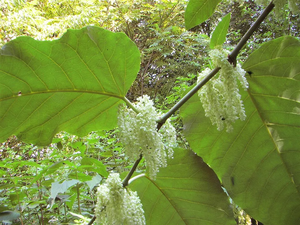 Giant KnotweedEU
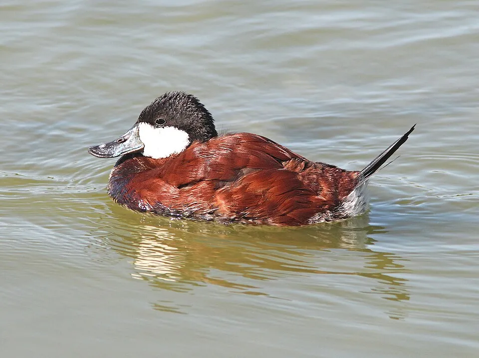 Ruddy DuckEU
 Small balsam
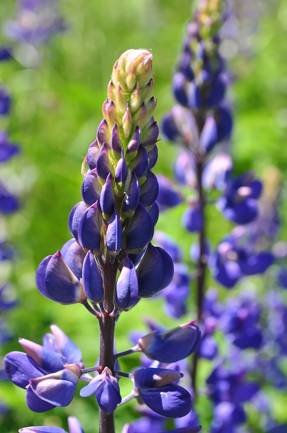 Large-leaved lupine
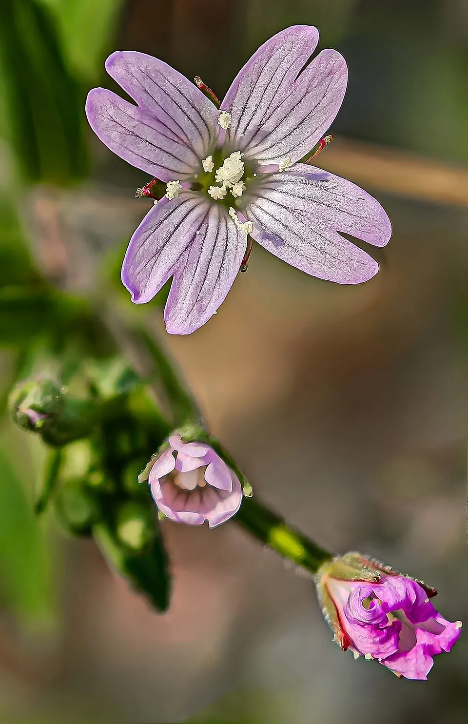 American willowherb
Photos: Himalayan Balsam © Guptaele · CC BY-SA 4.0; Egyptian Goose © Rhododendrites · CC BY-SA 4.0; Japanese Knotweed © W.carter · CC0-1.0; Giant Knotweed © Velocicaptor · Public domain; Ruddy Duck © ALAN SCHMIERER · CC0-1.0; Small balsam © André Karwath aka Aka · CC BY-SA 2.5; Large-leaved lupine © Joe Mabel (on Flickr as Joe Mabel from Seattle, US) · CC BY-SA 3.0; American willowherb © Didier Descouens · CC BY-SA 4.0
Sources: Global Forest Change (Hansen et al., University of Maryland, via Global Forest Watch, CC-BY 4.0); EFFIS, European Commission / Copernicus; NASA Black Marble 2016 (public domain); CORINE Land Cover 2018 (Copernicus) or MODIS.
CORINE Land Cover Change 1990–2018: generated using European Union's Copernicus Land Monitoring Service information (EEA), aggregated by Parkavela; DOI 10.2909/f30f1000-7cf8-43bb-872c-5eb093911b24.
Ecological status of water bodies: European Environment Agency, WISE – Water Framework Directive, 3rd river basin management plans (2022), CC BY 4.0. Official national classification, not comparable between countries.
Invasive alien species: Global Register of Introduced and Invasive Species (ISSG, CC BY 4.0); Union list, Regulation (EU) 1143/2014 (INBO, CC0); GBIF.org records (CC0 / CC BY 4.0), at least 2 per species.
Practical information
Cities and airport
- Jihlava
24 km as the crow flies - Pardubice
28 km as the crow flies - Airport: Pardubice (PED)
26 km as the crow flies
Visitor information
- Santini tour
within the site - Turistické informační centrum
within the site - Informační centrum Nové Město nad Metují
within the site - Informační centrum
within the site
Hiking
63 waymarked routes listed, including:
[Č] Cesta Karla Havlíčka Borovského[M] Medlov[Ž] Buchtův kopec[Č] Nedvědice[Č] Bystřice nad Pernštejnem[Ž] Kadov
By bike
EV4 · 59 km 1 1 Praha - Brno · 43 km16 16 Hlinsko - Slavonice · 22 km19 19 Posázavská cyklotrasa (Lísek - Davle) · 18 km104 104 Městečkov Trnávka - Kadov · 15 km
Signed cycle routes: this does not mean that cycling is allowed on footpaths.
Data © OpenStreetMap contributors (ODbL) · Wikidata (CC0)
Contains information from EuroVelo GPX tracks downloaded from www.EuroVelo.com on 2026-10-22, which is made available here under the Open Database License (ODbL). EuroVelo® is a registered trademark of the ECF. Routes © OpenStreetMap contributors (ODbL), via Waymarked Trails
Waymarked hiking routes
7544 [Ž] Buchtův kopec - Čtyři palice
5.9 km within the site ↗ 129 m↘ 220 m 588–814 m
110501 [Č] Nedvědice - Přibyslav
53.6 km within the site ↗ 1,155 m↘ 1,114 m 500–825 m
VIA-CZE-306 Via Czechia - Centrální (6. Hornosázavská pahorkatina a Železné hory)
10.9 km within the site ↗ 62 m↘ 87 m 533–582 m
VIA-CZE-307 Via Czechia - Centrální (7. Žďárské vrchy)
43.4 km within the site ↗ 598 m↘ 905 m 500–825 m
Tracks © OpenStreetMap contributors (ODbL), clipped to the boundary; elevation gain and profiles computed on the longest section from Mapzen Terrain Tiles (≈ 30 m), indicative only.
Bathing
5 monitored bathing sites in or within 1 km of the site · 2025 classification
Excellent · 3
Good · 2
- Rybník Medlov · river · Excellent
- Rybník Velké Dářko · lake · Excellent
- Vn Pilská · river · Excellent
- Rybník Koupaliště Nové Město na Moravě · river · Good
- Rybník Sykovec · river · Good
Source: European Environment Agency, official bathing water classification (Directive 2006/7/EC, CC-BY 4.0). Swimming is only permitted at the sites and times authorised locally.
Access and visiting
Hamry nad Sázavou railway station lies within the site. Nearest towns of over 50,000 people, as the crow flies: Jihlava (24 km) and Pardubice (28 km). Nearest airport: Pardubice (PED), about 26 km away. About 280,000 people live within 20 km of the site boundary, 99,000 of them within 10 km; some 57,000 people are estimated to live inside (GHSL estimate, 2020). Visitor information on site: Santini tour, Turistické informační centrum and Informační centrum Nové Město nad Metují. Waymarked hiking routes listed in OpenStreetMap: 63, including [Č] Cesta Karla Havlíčka Borovského, [M] Medlov, [Ž] Buchtův kopec and [Č] Nedvědice. The EuroVelo 4 cycle route (Central Europe Route) crosses the site for about 59 km; 12 other signed cycle routes also pass through, including “1 1 Praha - Brno” and “16 16 Hlinsko - Slavonice” (EuroVelo, OpenStreetMap). To see: waterfall Vojnoměstecký vodopád. To plan a visit (access, opening periods, visitor rules), it is best to consult the official information from the managing body and the official website listed in this page's sources.
Source: OpenStreetMap (ODbL), Wikidata (CC0), October 2026.
Built heritage
According to Wikidata, 412 monuments listed in the Czech central register of cultural monuments stand within the boundary, 2 of them national cultural monuments. Among them are 258 houses and civic buildings, 69 religious buildings and 19 bridges, lighthouses, mills and working buildings. Examples include “Rectory of Evangelical Church of Czech Brethren in Sázava” in Sázava, “Karlštejn Castle” in Karlštejn and “Open-air Museum Vysočina” in Veselý Kopec. “Pilgrimage Church of Saint John of Nepomuk” in Žďár nad Sázavou is listed as UNESCO World Heritage.
258 houses and civic buildings69 religious buildings19 bridges, lighthouses, mills and working buildings10 castles and fortifications
-
Pilgrimage Church of Saint John of Nepomuk
UNESCO National
Žďár nad Sázavou · 18th c. -
Rectory of Evangelical Church of Czech Brethren in Sázava
Sázava -
Karlštejn Castle
Karlštejn · 18th c. -
Open-air Museum Vysočina
Veselý Kopec · 20th c. -
Barokní most
Žďár nad Sázavou -
Bust of Comenius
Nové Město na Moravě -
Evangelical church
Daňkovice · 19th c. -
Jimramov Castle
Jimramov
and 404 more
Source: Wikidata (CC0), monuments in each country’s official heritage protection registers, at national or regional level. Each item links to its Wikidata entry.
When to visit
Mildest period: from June to August, with average temperatures of 15 to 17 °C. Average temperatures drop below 0 °C from December to February: frost is common. Precipitation peaks in July (up to 110 mm per month). According to NASA's MODIS satellites (2015–2025 average), snow covers most of the site from December to February, with about 75 snow-covered days a year on average. Day length ranges from about 8 h 09 min in December to 16 h 17 min in June. Wildlife records published on GBIF peak for birds (May), plants (June and July) and butterflies and moths (July). These peaks also reflect when observers are most active.
Source: Copernicus ERA5-Land (C3S), monthly averages 1996–2025 at the representative point, temperatures adjusted for elevation.
Contains modified Copernicus Climate Change Service information 2026. Neither the European Commission nor ECMWF is responsible for any use that may be made of the Copernicus information or data it contains.
Wildlife records calendar
JFMAMJJASOND
Birds
Plants
Butterflies & moths
Monthly records published on GBIF (CC-BY), relative to the busiest month; also reflects observer activity.
Gallery
© Martin Vavřík · Public domain
© Lubomír Dajč · CC BY-SA 4.0
© Zp · CC BY-SA 3.0
© Josef Kreuz (PEPan) · CC BY-SA 4.0
© Kylfas · CC BY-SA 4.0
© Josef Kreuz (PEPan) · CC BY-SA 4.0
Sources and licences
- Wikidata: Q8465757
- OpenStreetMap: relation 2021033
- Official website: https://zdarskevrchy.aopk.gov.cz
- WDPA: 344550
References
- cds.climate.copernicus.eu: climate · CC-BY-4.0
- registry.opendata.aws: elevation of the reference point, detailed relief · PD
- land.copernicus.eu: land cover, land cover change, sea share · COPERNICUS
- doi.org: population around the site · CC-BY-4.0
- wikidata.org: official area, highest point, establishment date, protected heritage, nearby cities and airport, access and peaks, lake depths, places to see, official website · CC0-1.0
- eea.europa.eu: bathing water quality, ecological status of waters · CC-BY-4.0
- en.eurovelo.com: EuroVelo cycle routes · ODbL-1.0
- cycling.waymarkedtrails.org: cycle routes · ODbL-1.0
- opentopodata.org: elevations · PD
- forest-fire.emergency.copernicus.eu: wildfires · COPERNICUS
- globalforestwatch.org: tree cover loss · CC-BY-4.0
- gbif.org: seasonality of sightings, invasive alien species, observed species · CC-BY-4.0
- europe-geology.eu: geology · CC-BY-4.0
- hydrosheds.org: lakes · CC-BY-4.0
- natura2000.eea.europa.eu: Natura 2000 habitats and species · CC-BY-4.0
- openstreetmap.org: official name, access and peaks, trail difficulty, wheelchair access · ODbL-1.0
- earthobservatory.nasa.gov: night light · PD
- hiking.waymarkedtrails.org: route difficulty · ODbL-1.0
- nsidc.org: snow cover · PD
Data © OpenStreetMap contributors (ODbL), Wikidata (CC0) and the sources cited.