
Czechia · Terrestrial
Železné hory Protected Landscape Area
Protected landscape area of 28,473 hectares in Czechia, established in 1991.
Overview
Protected landscape area of 28,473 hectares in Czechia, established in 1991.
Železné hory Protected Landscape Area is located in Czechia (Europe). It is a predominantly terrestrial area. Established on 1 May 1991, it covers about 28,473 hectares.
Protections and designations
Natura 2000 · habitats (SAC) · 10 sites
- Běstvina - krypta CZ0533684
- Boušovka CZ0533296
- Chrudimka CZ0533303
- Hubský-Strádovka CZ0534054
- Kochánovické rybníky a tůně CZ0533696
- Krkanka-Strádovské peklo CZ0534053
- and 4 more
Designated as a protected landscape area. International labels and designations: Natura 2000 network (10 sites). Key dates: established in 1991 and first Natura 2000 site under the Habitats Directive in 2008.
In our collections
Timeline
-
1991
Established
-
2008
First Natura 2000 site under the Habitats Directive 7 such sites designated up to 2012
Sources: Wikidata (CC0) for establishment and international labels; EEA Natura 2000 database (CC-BY 4.0) for site designation dates.
Frequently asked questions
Where is Železné hory Protected Landscape Area?
In Czechia (Europe). Representative point: 49.8008° N, 15.7324° E.
How large is Železné hory Protected Landscape Area?
About 28,473 hectares (285 km²). It is the 15th largest of the 27 protected landscape areas in Czechia covered by Parkavela.
When was Železné hory Protected Landscape Area established?
On 1 May 1991.
What habitats and landscapes does Železné hory Protected Landscape Area include?
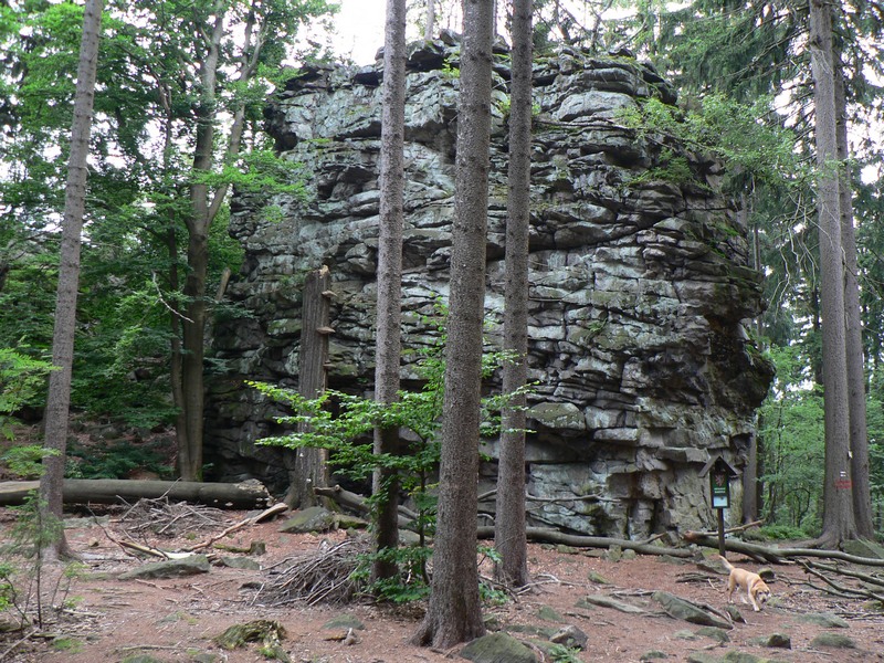
A terrestrial area, with forests.
What rocks lie beneath Železné hory Protected Landscape Area?
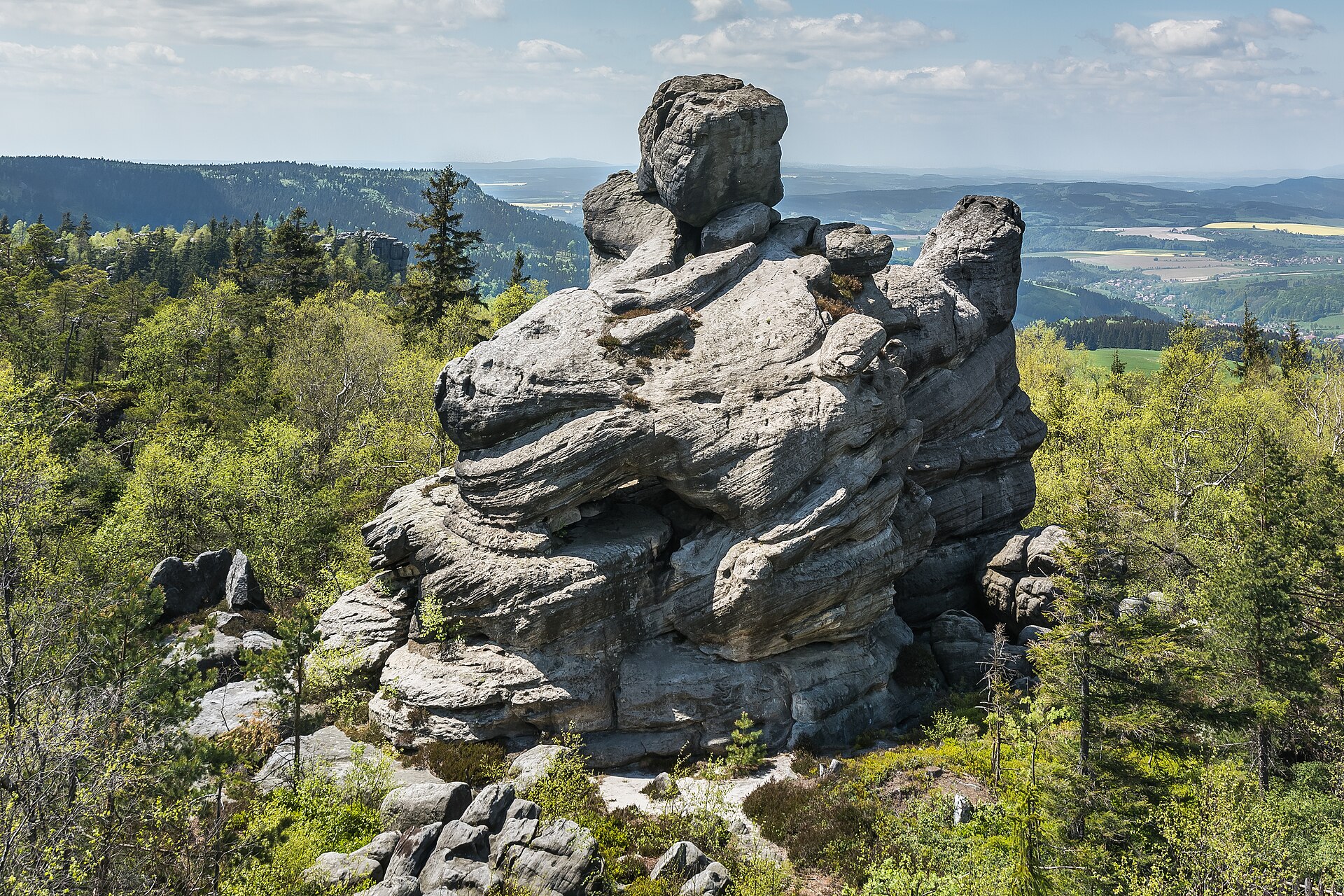
According to the European 1:1 million geological map (EGDI), the bedrock consists mainly of gneiss (33% of sampled points), granites (33%) and marly limestones (13%). The geological units date mainly from the Paleozoic (33% of sampled points).
What is the highest point of Železné hory Protected Landscape Area?
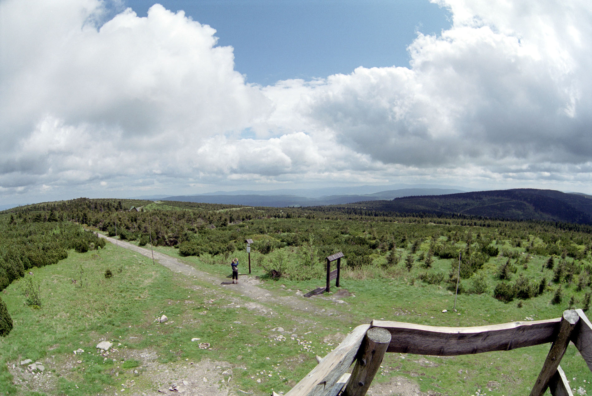
Vestec, at 668 m (OpenStreetMap).
What are the main summits of Železné hory Protected Landscape Area?
Vestec (668 m), Spálava (663 m), Polom (650 m), Zuberský vrch (650 m) and Plesný (611 m) (OpenStreetMap).
Which international labels apply to Železné hory Protected Landscape Area?
Natura 2000 network (10 sites).
When is the best time to visit Železné hory Protected Landscape Area?
Mildest period: from June to August, with average temperatures of 16 to 18 °C.
Is there snow in Železné hory Protected Landscape Area?
Yes. According to NASA's MODIS satellites (2015–2025 average), snow covers most of the site in January, and until February on higher ground, with about 50 snow-covered days a year on average.
What is there to see in Železné hory Protected Landscape Area?
4 waterfalls, including Vodopád Kamenného potoka, Hradišťský vodopád, Geologický vodopád and Vodopád Doubravy (Wikidata).
Are there historic monuments in Železné hory Protected Landscape Area?
Yes. According to Wikidata, 67 monuments listed in the Czech central register of cultural monuments stand within the boundary. For example: “Hrobka rodiny Kustošů” in Lipka, “Chotěboř Castle” in Chotěboř and “České Lhotice Celtic oppidum” in Hradiště.
Can you swim in Železné hory Protected Landscape Area?
3 monitored bathing sites lie in or within 1 km of the site; official 2025 classification: 3 excellent (European Environment Agency). Swimming is only permitted at the sites and times authorised locally.
What is the nearest large city to Železné hory Protected Landscape Area?
Nearest towns of over 50,000 people, as the crow flies: Pardubice (12 km) and Hradec Králové (31 km). Nearest airport: Pardubice (PED), about 10 km away.
How can I reach Železné hory Protected Landscape Area by train?
Třemošnice railway station lies within the site.
Where can I get visitor information on site?
Informační centrum Třemošnice, Turistické informační centrum Seč and Infocentrum Nasavrky.
Are there waymarked hiking trails in Železné hory Protected Landscape Area?
Yes. Waymarked hiking routes listed in OpenStreetMap: 43, including Via Czechia, [Ž] Bílek, [Č] Podhradí and [M] Chotěboř.
Which species can be seen in Železné hory Protected Landscape Area?
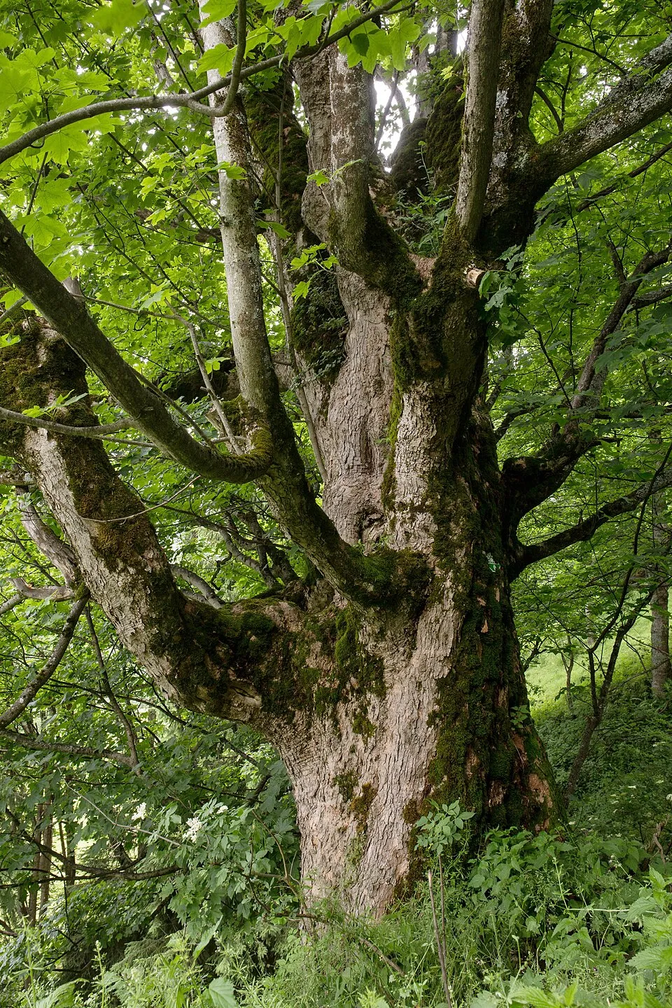
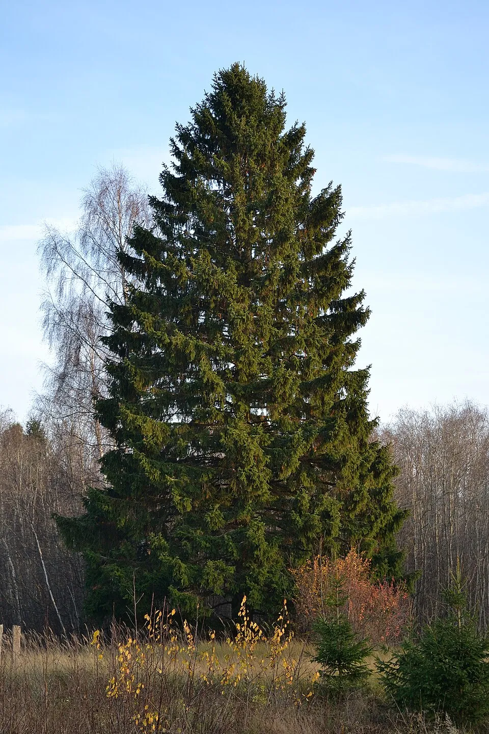
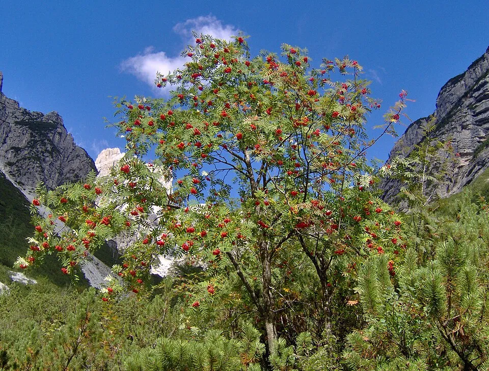
Among the species most often recorded on GBIF are Fagus sylvatica (European Beech), Acer pseudoplatanus (Sycamore), Picea abies (Norway spruce) and Sorbus aucuparia (Rowan).
What is the official website of Železné hory Protected Landscape Area?
© OpenStreetMap
Download the boundary: GeoJSON · GPX Boundary © OpenStreetMap contributors (ODbL).
Geography
The representative point of the site lies at around 560 m above sea level. Over the 1996–2025 period, the mean annual temperature is about 8.1 °C and total precipitation reaches roughly 827 mm per year. The warmest month is usually July, the coolest January, and the wettest July. According to the European 1:1 million geological map (EGDI), the bedrock consists mainly of gneiss (33% of sampled points), granites (33%) and marly limestones (13%). The geological units date mainly from the Paleozoic (33% of sampled points). The site contains 3 lakes larger than 10 ha, totalling 1.7 km² of water; the largest, Vodní nádrž Seč, covers 1.4 km² (HydroLAKES).
Area
- Area
- 28,473 ha
- Elevation
- 560 m
- Median elevation
- 522 m
- Mean slope
- 5°
- Snow cover
- ≈ 50 days a year
- Lakes over 10 ha
- 3 (1.7 km²)
- Coordinates
- 49.8008, 15.7324
Terrain: Mapzen Terrain Tiles (SRTM, USGS) · Lakes: HydroLAKES (Messager et al. 2016, hydrosheds.org, CC BY 4.0) · depths: Wikidata (CC0)
Bedrock
- Gneiss 33 %
- Granites 33 %
- Marly limestones 13 %
- Mudstones 7 %
- Sandstones 7 %
- Quartzites 7 %
Metamorphic rocks 40 % · Igneous rocks 33 % · Sedimentary rocks 27 % · Main age: Paleozoic (33%)
Source: EGDI 1:1M geological map (EuroGeoSurveys and national geological surveys), CC BY 4.0 · 15 sampled points within the site.
Main summits
- Vestec668 m
- Spálava663 m
- Polom650 m
- Zuberský vrch650 m
- Plesný611 m
- Kamenný vrch586 m
- Krkanka568 m
- Nohavice565 m
- Olšina559 m
- Bučina534 m
Data © OpenStreetMap contributors (ODbL)
Climate
● Mean temperature (°C) · ▮ Precipitation (mm)
Source: Copernicus ERA5-Land (C3S, doi:10.24381/cds.68d2bb30), monthly averages 1996–2025 interpolated to the representative point, temperatures adjusted for elevation.
Contains modified Copernicus Climate Change Service information 2026. Neither the European Commission nor ECMWF is responsible for any use that may be made of the Copernicus information or data it contains.
Snow cover measured by satellite
J
F
M
A
M
J
J
A
S
O
N
D
average share of the site under snow · snowiest parts · ≈ 50 days a year
Snow cover: MODIS/Terra MOD10CM v61 (Hall & Riggs, 2021, NASA NSIDC DAAC, doi:10.5067/MODIS/MOD10CM.061), imagery from NASA GIBS (ESDIS); 2015–2025 average, grid of about 5 km.
Natural habitats
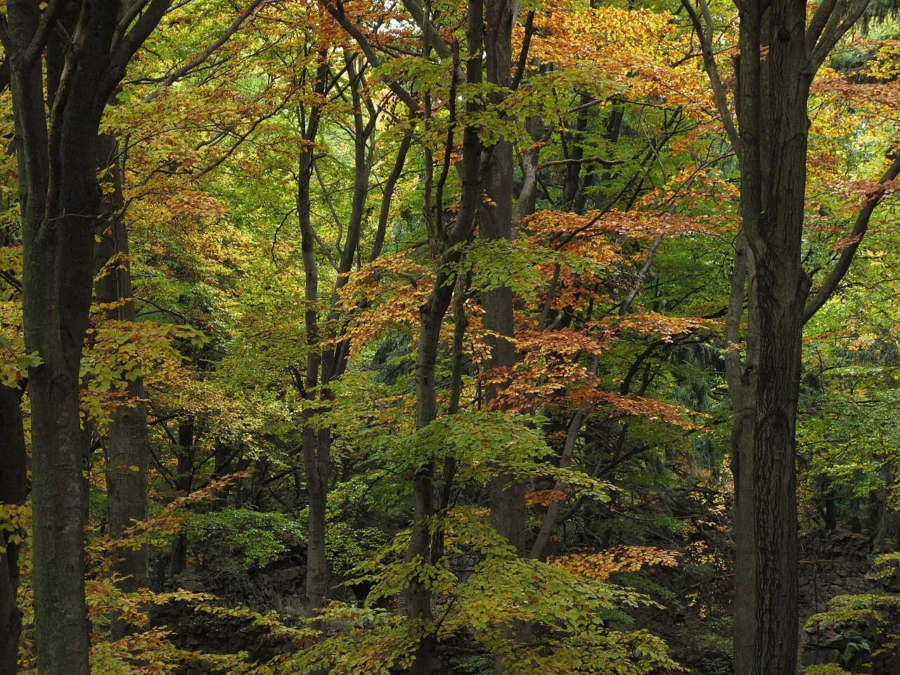
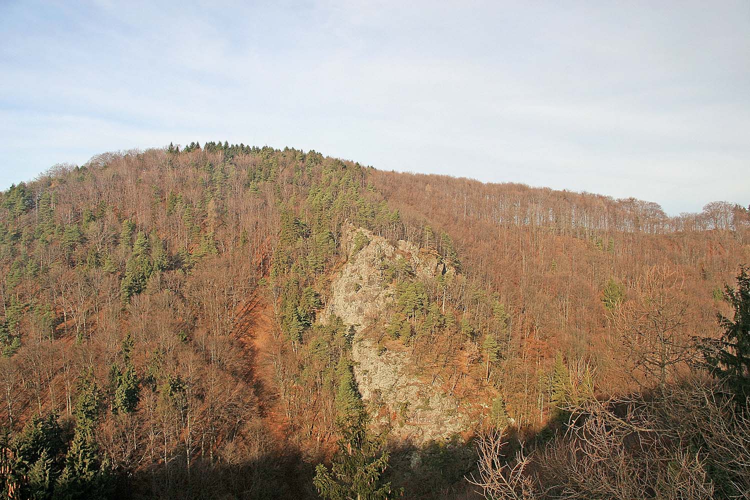
According to CORINE Land Cover (2018), the site is mainly made up of forests (41%), farmland (38%) and grassland and meadows (14%). Woodland is mostly coniferous. Elevation ranges from about 280 m to 668 m (highest point: Vestec). The 10 Natura 2000 sites overlapping the area list 13 habitats of European interest (3 priority), the most extensive being Luzulo-Fagetum beech forests, Asperulo-Fagetum beech forests and Tilio-Acerion forests of slopes, screes and ravines.
Biodiversity
Based on occurrences aggregated by GBIF, several species are regularly recorded within the site. Among the most frequent are Fagus sylvatica (European Beech), Acer pseudoplatanus (Sycamore), Picea abies (Norway spruce) and Sorbus aucuparia (Rowan). The full list of documented taxa is shown below. The overlapping Natura 2000 sites list 9 species of European interest: 2 mammals, 2 amphibians, 1 fish, 3 invertebrates and 1 plant.
Habitats of European interest
From the official forms of the 10 Natura 2000 sites overlapping the area (areas reported for each whole site).
- Luzulo-Fagetum beech forests 189 ha
- Asperulo-Fagetum beech forests 149 ha
- Tilio-Acerion forests of slopes, screes and ravines priority 45 ha
- Lowland hay meadows (Alopecurus pratensis, Sanguisorba officinalis) 39 ha
- Alluvial forests with Alnus glutinosa and Fraxinus excelsior (Alno-Padion, Alnion incanae, Salicion albae) priority 22 ha
- Water courses of plain to montane levels with the Ranunculion fluitantis and Callitricho-Batrachion vegetation 10 ha
- Transition mires and quaking bogs 9 ha
- Siliceous rocky slopes with chasmophytic vegetation 8 ha
and 5 more
Species of European interest
Amphibians · 2
European fire-bellied toad (Bombina bombina), Great crested newt (Triturus cristatus)
Fish · 1
Invertebrates · 3
Yellow-spotted Whiteface (Leucorrhinia pectoralis), Eastern Hermit Beetle (Osmoderma barnabita), Geyer's whorl snail (Vertigo geyeri)
Plants · 1
Source: Natura 2000 standard data forms (EEA, CC-BY 4.0). Not exhaustive: sensitive species are not published.
Species to look out for
Plant
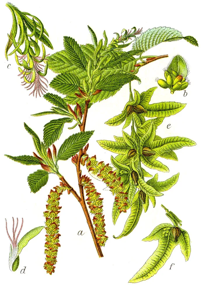
Hornbeam
Carpinus betulus187 records © Johann Georg Sturm (Painter: Jacob Sturm) · Public domain
Observed species
Occurrences documented via GBIF; they are neither an exhaustive inventory nor proof of current presence.
- European Beech · Fagus sylvatica · 414
- Sycamore · Acer pseudoplatanus · 294
- Norway spruce · Picea abies · 227
- Rowan · Sorbus aucuparia · 190
- Hornbeam · Carpinus betulus · 187
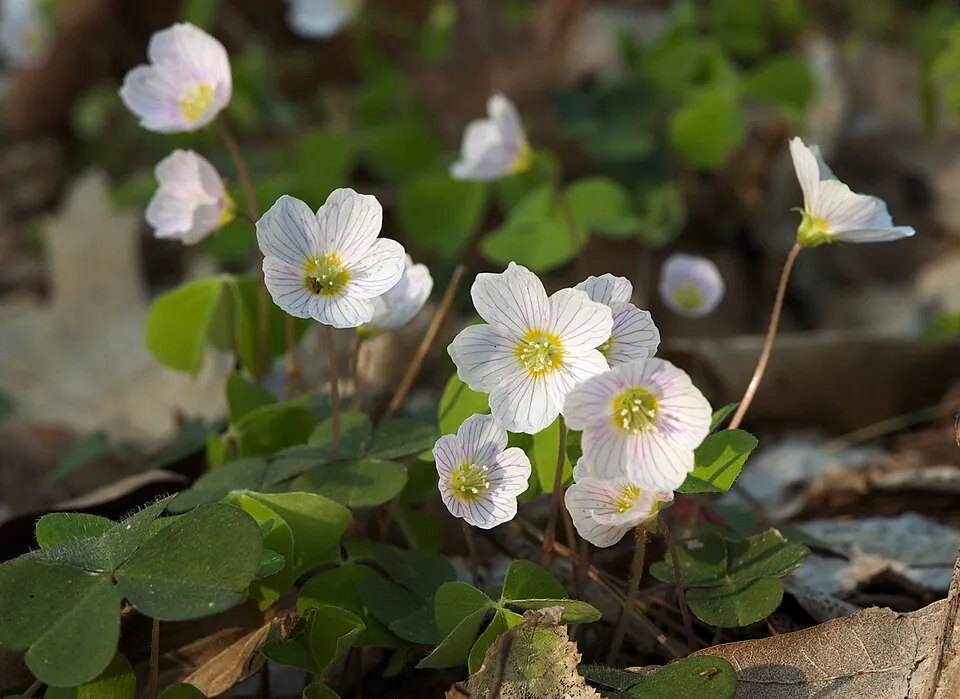
- Wood-sorrel · Oxalis acetosella · 177
- Sweet woodruff · Galium odoratum · 159
- Tufted hair-grass · Deschampsia cespitosa · 159
- Yellow Loosestrife · Lysimachia vulgaris · 155
- Yellow Archangel · Lamium galeobdolon · 153
- European ash · Fraxinus excelsior · 149
- Soft rush · Juncus effusus · 132
+18 more species
- Sweet vernalgrass · Anthoxanthum odoratum · 132
- Lady-fern · Athyrium filix-femina · 129
- Silver Fir · Abies alba · 127
- Red fescue · Festuca rubra · 123
- Great Burnet · Sanguisorba officinalis · 123
- Common Nettle · Urtica dioica · 123
- Yorkshire-fog · Holcus lanatus · 121
- Meadowsweet · Filipendula ulmaria · 120
- Marsh Thistle · Cirsium palustre · 118
- Marsh-bedstraw · Galium palustre · 116
- Fen bedstraw · Galium uliginosum · 111
- Small balsam · Impatiens parviflora · 110
- Silver Birch · Betula pendula · 110
- Wood bluegrass · Poa nemoralis · 109
- Meadow buttercup · Ranunculus acris · 109
- Raspberry · Rubus idaeus · 107
- Male fern · Dryopteris filix-mas · 107
- Common Sorrel · Rumex acetosa · 105
Records: GBIF.org (CC-BY). Names: Wikidata (CC0), GBIF. Photos: Wikimedia Commons.
Conservation challenges
The primary purpose of the site is to preserve its natural habitats and the biodiversity they support. The species recorded (Biodiversity tab) reflect its ecological value. The designations it holds frame its management and the control of land use.
According to Global Forest Change data (University of Maryland, Global Forest Watch), about 5,290 ha of tree cover were lost within the boundary between 2001 and 2023 (19% of its area), peaking in 2021 and 2022. These losses include logging, storms and fires, and do not account for regrowth. Apart from forest felling and regrowth (about 1,700 ha in total), land cover remained almost unchanged between 1990 and 2018 according to CORINE Land Cover; only some 38 ha were built over. At night, 2% of the area gives off artificial light detectable from space (NASA VIIRS Black Marble composite, 2016). Built-up and developed land (buildings, business areas, roads, quarries) covers 3% of the area, and farmland 38% (CORINE Land Cover). According to the Natura 2000 forms, of 13 assessed habitats of European interest, 3 are in excellent condition and 1 in average or reduced condition. According to the Water Framework Directive assessment (2022 river basin management plans, data 2016–2018), none of the 46 km of rivers assessed within the site reaches good ecological status; they mostly have moderate ecological status. Other assessed water bodies: lakes, 0 of 1 in good ecological status or better. Since 2000, 12 invasive alien species have been recorded within the site (GBIF observations), 2 of them listed as of Union concern under EU Regulation 1143/2014. Among them: Impatiens glandulifera (Himalayan Balsam), Reynoutria japonica (Japanese Knotweed) and Impatiens parviflora (Small balsam).
Pressure indicators
Tree cover lost
5,289 ha
2001–2023 · 19% of the area
20012023
Fires since 2016
0
No large fire mapped (fires over about 30 ha)
Light at night
2%
of the area gives off artificial light visible from space
DarkLit
Built-up land
3%
buildings, business areas, roads, quarries · farmland 38%
Land cover change
< 0.5%
of the area changed, 1990–2018 · CORINE
forest felling and regrowth: 1,700 ha in total
Rivers and lakes
0%
of the 46 km of assessed rivers in good or high ecological status · WFD 2022
Lakes: 0 of 1 good or better
assessments 2016–2018
Invasive alien species
12
incl. 2 of EU concern · since 2000
 Himalayan BalsamEU
 Japanese KnotweedEU
 Small balsam
 Japanese barberry
 Japanese rose
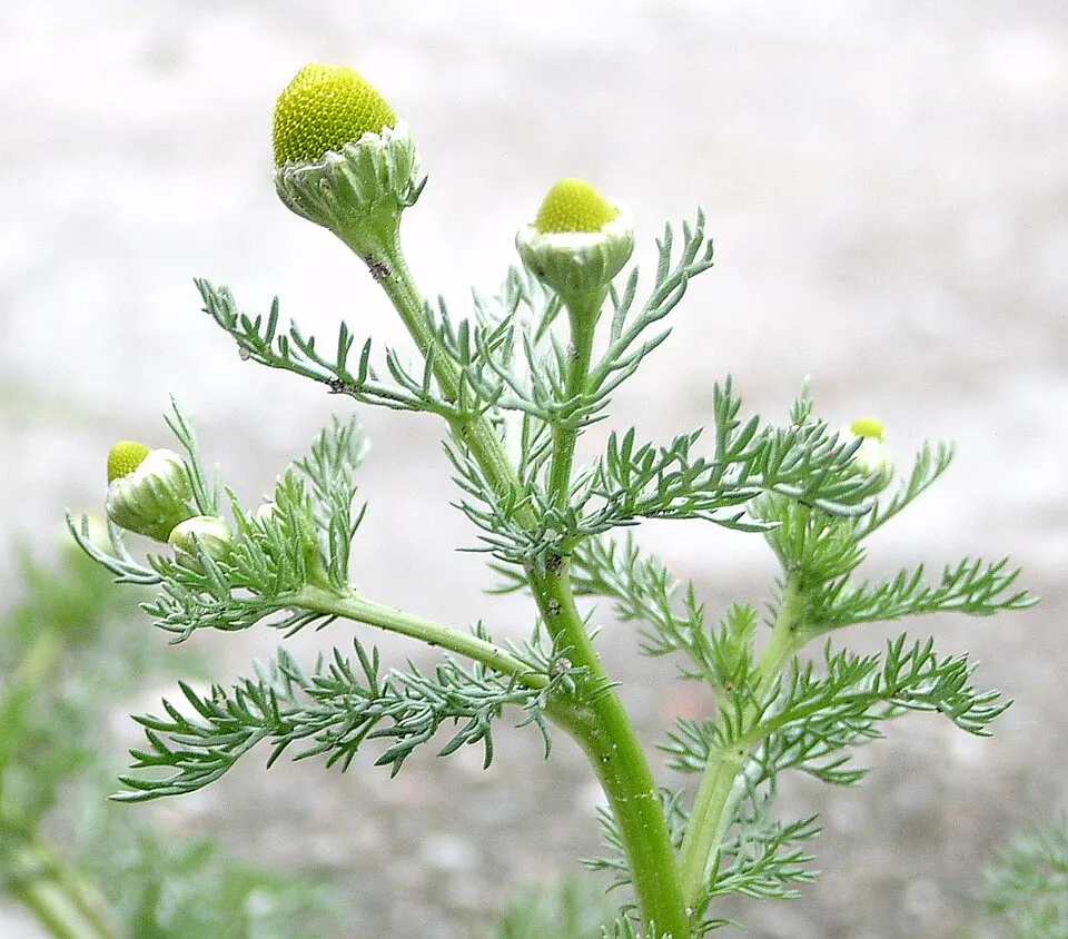 Pineappleweed
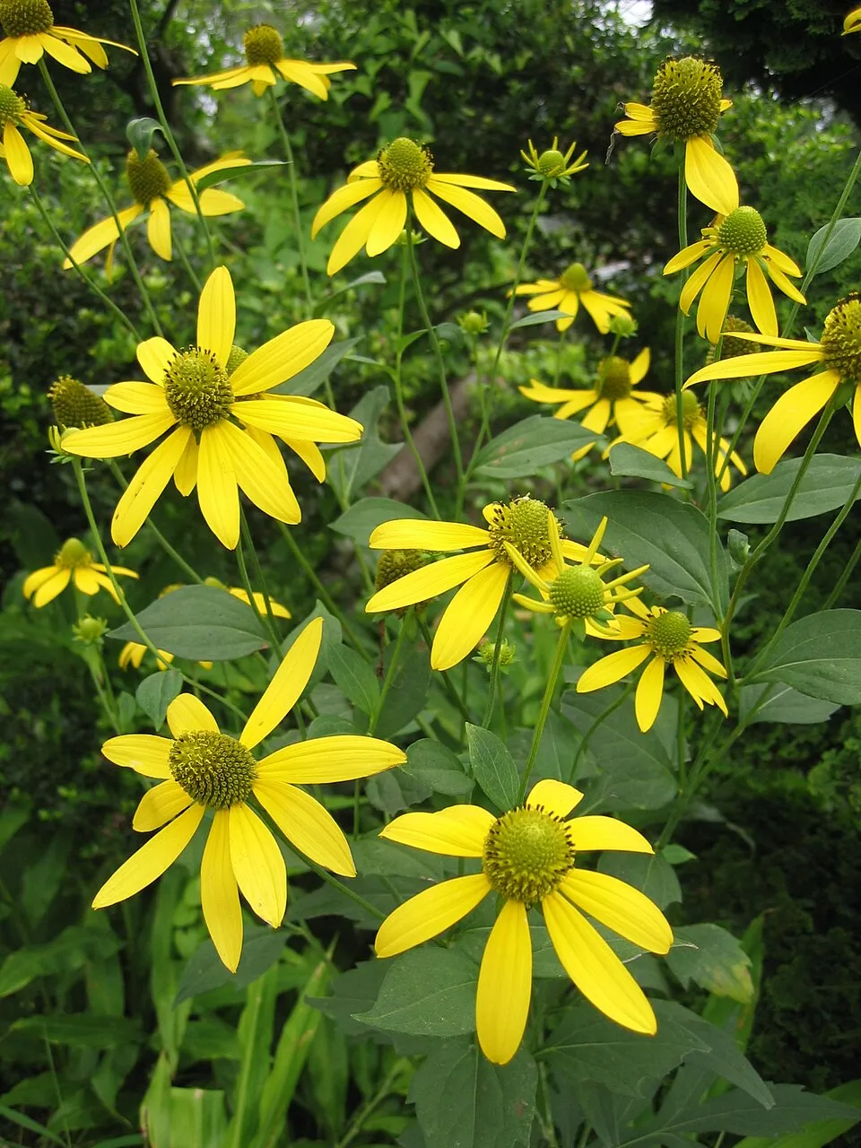 Cutleaf coneflower
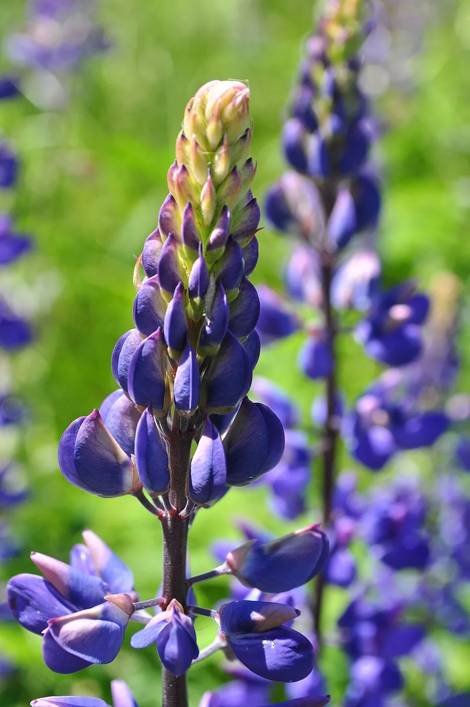 Large-leaved lupine
Photos: Himalayan Balsam © Guptaele · CC BY-SA 4.0; Japanese Knotweed © W.carter · CC0-1.0; Small balsam © André Karwath aka Aka · CC BY-SA 2.5; Japanese barberry © Alpsdake · CC BY-SA 4.0; Japanese rose © Vihljun · Public domain; Pineappleweed © Krzysztof Ziarnek · CC BY-SA 3.0; Cutleaf coneflower © Σ64 · CC BY-SA 3.0; Large-leaved lupine © Joe Mabel (on Flickr as Joe Mabel from Seattle, US) · CC BY-SA 3.0
Sources: Global Forest Change (Hansen et al., University of Maryland, via Global Forest Watch, CC-BY 4.0); EFFIS, European Commission / Copernicus; NASA Black Marble 2016 (public domain); CORINE Land Cover 2018 (Copernicus) or MODIS.
CORINE Land Cover Change 1990–2018: generated using European Union's Copernicus Land Monitoring Service information (EEA), aggregated by Parkavela; DOI 10.2909/f30f1000-7cf8-43bb-872c-5eb093911b24.
Ecological status of water bodies: European Environment Agency, WISE – Water Framework Directive, 3rd river basin management plans (2022), CC BY 4.0. Official national classification, not comparable between countries.
Invasive alien species: Global Register of Introduced and Invasive Species (ISSG, CC BY 4.0); Union list, Regulation (EU) 1143/2014 (INBO, CC0); GBIF.org records (CC0 / CC BY 4.0), at least 2 per species.
Practical information
Cities and airport
- Pardubice
12 km as the crow flies - Hradec Králové
31 km as the crow flies - Airport: Pardubice (PED)
10 km as the crow flies
Visitor information
- Informační centrum Třemošnice
within the site - Turistické informační centrum Seč
within the site - Infocentrum Nasavrky
within the site - Zámek Slatiňany
< 1 km from the site boundary
Things to see
4 waterfalls
- Vodopád Kamenného potoka
waterfall - Hradišťský vodopád
waterfall - Geologický vodopád
waterfall - Vodopád Doubravy
waterfall
Hiking
43 waymarked routes listed, including:
Via Czechia[Ž] Bílek[Č] Podhradí[M] Chotěboř[Č] Chrudim[M] Třemošnice
By bike
EV4 · 38 km 4115 4115 Ležáky - Ústupky · 23 km4114 4114 Seč-Žďárec u Skutče · 21 km5127 · 19 km4119 4119 Pardubice - Rudov · 15 km
Signed cycle routes: this does not mean that cycling is allowed on footpaths.
Data © OpenStreetMap contributors (ODbL) · Wikidata (CC0)
Contains information from EuroVelo GPX tracks downloaded from www.EuroVelo.com on 2026-10-22, which is made available here under the Open Database License (ODbL). EuroVelo® is a registered trademark of the ECF. Routes © OpenStreetMap contributors (ODbL), via Waymarked Trails
Bathing
3 monitored bathing sites in or within 1 km of the site · 2025 classification
Excellent · 3
- Vn Seč Hoješín · lake · Excellent
- Vn Seč Semtín · lake · Excellent
- Vn Seč Ústupky · lake · Excellent
Source: European Environment Agency, official bathing water classification (Directive 2006/7/EC, CC-BY 4.0). Swimming is only permitted at the sites and times authorised locally.
Access and visiting
Třemošnice railway station lies within the site. Nearest towns of over 50,000 people, as the crow flies: Pardubice (12 km) and Hradec Králové (31 km). Nearest airport: Pardubice (PED), about 10 km away. About 390,000 people live within 20 km of the site boundary, 130,000 of them within 10 km; some 14,000 people are estimated to live inside (GHSL estimate, 2020). Visitor information on site: Informační centrum Třemošnice, Turistické informační centrum Seč and Infocentrum Nasavrky. Waymarked hiking routes listed in OpenStreetMap: 43, including Via Czechia, [Ž] Bílek, [Č] Podhradí and [M] Chotěboř. The EuroVelo 4 cycle route (Central Europe Route) crosses the site for about 38 km; 11 other signed cycle routes also pass through, including “4115 4115 Ležáky - Ústupky” and “4114 4114 Seč-Žďárec u Skutče” (EuroVelo, OpenStreetMap). To see: 4 waterfalls, including Vodopád Kamenného potoka, Hradišťský vodopád, Geologický vodopád and Vodopád Doubravy. To plan a visit (access, opening periods, visitor rules), it is best to consult the official information from the managing body and the official website listed in this page's sources.
Source: OpenStreetMap (ODbL), Wikidata (CC0), October 2026.
Built heritage
According to Wikidata, 67 monuments listed in the Czech central register of cultural monuments stand within the boundary. Among them are 26 religious buildings, 16 houses and civic buildings and 15 castles and fortifications. Examples include “Hrobka rodiny Kustošů” in Lipka, “Chotěboř Castle” in Chotěboř and “České Lhotice Celtic oppidum” in Hradiště.
26 religious buildings16 houses and civic buildings15 castles and fortifications2 bridges, lighthouses, mills and working buildings1 prehistoric or archaeological site
-
Hrobka rodiny Kustošů
Lipka -
Chotěboř Castle
Chotěboř -
České Lhotice Celtic oppidum
Hradiště -
Liboháj forester's lodge
Chotěboř -
Kovárna
Možděnice -
Hradiště, benediktinské proboštství svatého Jakuba, tvrziště
Práčov -
Chapel of Virgin Mary
Dolní Bradlo · 19th c. -
Libice nad Doubravou Castle
Libice nad Doubravou · 18th c.
and 59 more
Source: Wikidata (CC0), monuments in each country’s official heritage protection registers, at national or regional level. Each item links to its Wikidata entry.
When to visit
Mildest period: from June to August, with average temperatures of 16 to 18 °C. Average temperatures drop below 0 °C from December to February: frost is common. Precipitation peaks in July (up to 110 mm per month). According to NASA's MODIS satellites (2015–2025 average), snow covers most of the site in January, and until February on higher ground, with about 50 snow-covered days a year on average. Day length ranges from about 8 h 08 min in December to 16 h 18 min in June. Wildlife records published on GBIF peak for birds (June and July), plants (June and July) and butterflies and moths (June). These peaks also reflect when observers are most active.
Source: Copernicus ERA5-Land (C3S), monthly averages 1996–2025 at the representative point, temperatures adjusted for elevation.
Contains modified Copernicus Climate Change Service information 2026. Neither the European Commission nor ECMWF is responsible for any use that may be made of the Copernicus information or data it contains.
Wildlife records calendar
JFMAMJJASOND
Birds
Plants
Butterflies & moths
Monthly records published on GBIF (CC-BY), relative to the busiest month; also reflects observer activity.
Gallery
© Zp · CC BY-SA 3.0
© Zp · CC BY-SA 3.0
© Lysippos · CC BY-SA 3.0
© Mido mokomido · CC BY-SA 3.0
© Matyáš Havel · CC BY-SA 3.0
© Kylfas · CC BY-SA 4.0
Sources and licences
- Wikidata: Q8465728
- OpenStreetMap: relation 2021032
- Official website: https://zeleznehory.aopk.gov.cz
- WDPA: 344551
References
- cds.climate.copernicus.eu: climate · CC-BY-4.0
- registry.opendata.aws: elevation of the reference point, detailed relief · PD
- land.copernicus.eu: land cover, land cover change, sea share · COPERNICUS
- doi.org: population around the site · CC-BY-4.0
- wikidata.org: official area, highest point, establishment date, protected heritage, official name, nearby cities and airport, access and peaks, lake depths, places to see, official website · CC0-1.0
- eea.europa.eu: bathing water quality, ecological status of waters · CC-BY-4.0
- en.eurovelo.com: EuroVelo cycle routes · ODbL-1.0
- cycling.waymarkedtrails.org: cycle routes · ODbL-1.0
- opentopodata.org: elevations · PD
- forest-fire.emergency.copernicus.eu: wildfires · COPERNICUS
- globalforestwatch.org: tree cover loss · CC-BY-4.0
- gbif.org: seasonality of sightings, invasive alien species, observed species · CC-BY-4.0
- europe-geology.eu: geology · CC-BY-4.0
- hydrosheds.org: lakes · CC-BY-4.0
- natura2000.eea.europa.eu: Natura 2000 habitats and species · CC-BY-4.0
- earthobservatory.nasa.gov: night light · PD
- openstreetmap.org: access and peaks · ODbL-1.0
- nsidc.org: snow cover · PD
Data © OpenStreetMap contributors (ODbL), Wikidata (CC0) and the sources cited.