
Greece · Terrestrial
Pindus National Park
National park of 146,259 hectares in Greece, established in 2005.
Overview
National park of 146,259 hectares in Greece, established in 2005.
Pindus National Park is located in Greece (Europe). It is a predominantly terrestrial area. Established in 2005, it covers about 146,259 hectares.
Protections and designations
Natura 2000 · habitats (SAC) · 7 sites
- Ethnikos Drymos Pindou (Valia Kalnta) - Evrυteri Periochi GR1310003
- Ethnikos Drymos Vikou - Aoou GR2130001
- Kentriko Tmima Zagoriou GR2130004
- Koryfes Orous Smolikas GR2130002
- Oros Mitsikeli GR2130008
- Periochi Metsovou (Anilio - Katara) GR2130006
- and 1 more
Natura 2000 · birds (SPA) · 5 sites
- Kentriko Zagori kai Anatoliko Tmima Orous Mitsikeli GR2130011
- Koryfes Orous Smolikas GR2130002
- Ori Orliakas kai Tsourgiakas GR1310004
- Oros Tymfi (Gkamila) GR2130009
- Valia Kalnta kai Techniti Limni Aoou GR1310002
World Heritage tentative list
Protected as a national park. International labels and designations: Natura 2000 network (11 sites). Key dates: first Natura 2000 site under the Birds Directive in 1987, established in 2005 and first Natura 2000 site under the Habitats Directive in 2011.
In our collections
Timeline
-
1987
First Natura 2000 site under the Birds Directive 5 such sites designated up to 2010
-
2005
Established
-
2011
First Natura 2000 site under the Habitats Directive 7 such sites designated up to 2011
Sources: Wikidata (CC0) for establishment and international labels; EEA Natura 2000 database (CC-BY 4.0) for site designation dates.
Frequently asked questions
Where is Pindus National Park?
In Greece (Europe). Representative point: 39.9000° N, 21.1167° E.
How large is Pindus National Park?
About 146,259 hectares (1,463 km²). It is the 3rd largest of the 14 national parks in Greece covered by Parkavela.
When was Pindus National Park established?
In 2005.
What habitats and landscapes does Pindus National Park include?
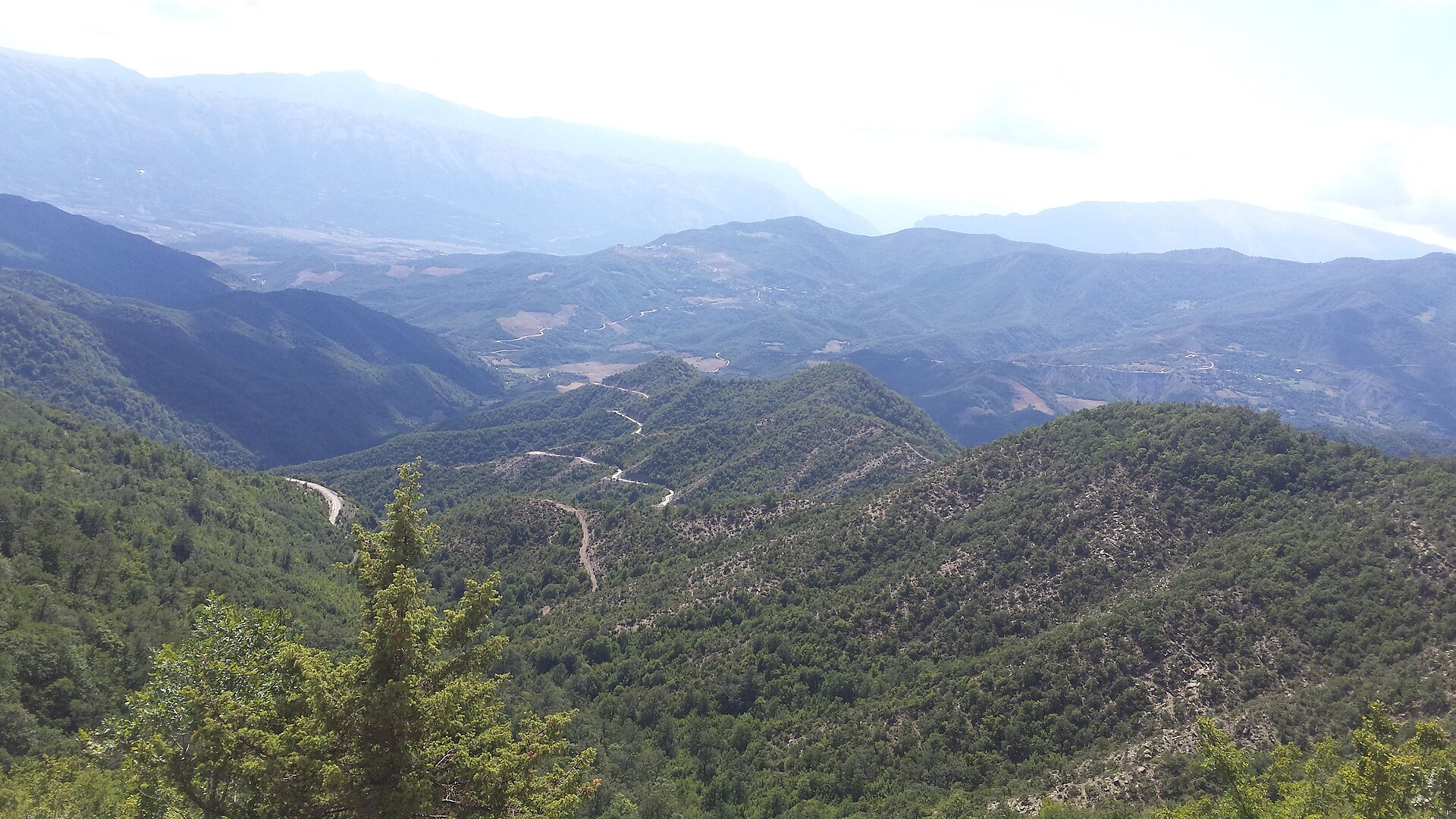
A terrestrial area, with forests and mountains.
What rocks lie beneath Pindus National Park?
According to the European 1:1 million geological map (EGDI), the bedrock consists mainly of ultramafic rocks (31% of sampled points), sandstones (25%) and mudstones (19%). Sedimentary rocks account for 69% of sampled points. The geological units date mainly from the Paleogene (31% of sampled points).
What is the highest point of Pindus National Park?
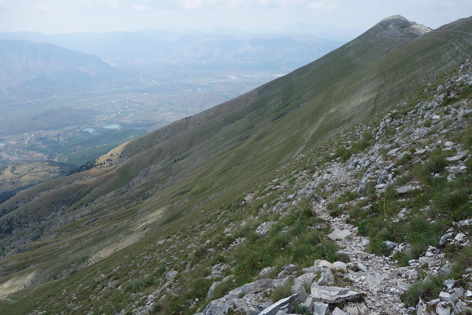
Smolikas, at 2,631 m (OpenStreetMap).
What are the main summits of Pindus National Park?
Smolikas (2,631 m), Mosia (2,578 m), Gamila (2,497 m), Astraka (2,486 m) and Stoma (2,466 m) (OpenStreetMap).
Which international labels apply to Pindus National Park?
Natura 2000 network (11 sites).
When is the best time to visit Pindus National Park?
Best time to visit: from May to October, with average temperatures of 10 to 20 °C and moderate rainfall.
Is there snow in Pindus National Park?
Yes. According to NASA's MODIS satellites (2015–2025 average), snow covers most of the site in January, and until March on higher ground, with about 50 snow-covered days a year on average.
What is there to see in Pindus National Park?
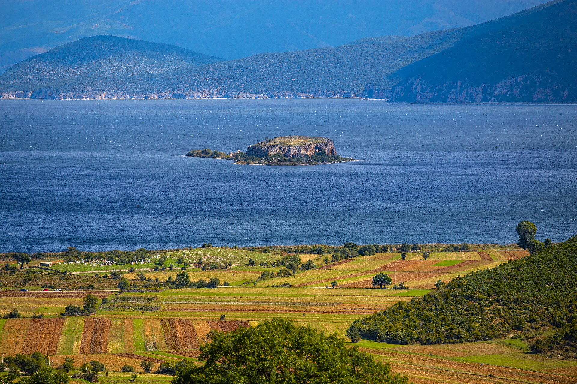
1 lake or pond and 2 caves, including Flegga Dragonlakes Perivoli, Kleidi Cave and Megalakkos (Wikidata).
Where can I stay in Pindus National Park?
Tymfi mountain refuge (Wikidata).
Are there historic monuments in Pindus National Park?
Yes. According to Wikidata, 41 monuments protected as Greek cultural heritage stand within the boundary. For example: “Agia Paraskevi church” in Zagori, “Castle of Konitsa” in Konitsa and “Vitsa” in Zagori.
What is the nearest large city to Pindus National Park?
Nearest towns of over 50,000 people, as the crow flies: Ioannina (8 km) and Trikala (49 km). Nearest airport: Ioannina National Airport "King Pyrros" (IOA), about 6 km away.
How can I reach Pindus National Park by train?
The nearest railway station is Kalambaka, about 30 km from the site boundary.
Where can I get visitor information on site?
National Park Information Center V. Pindou, Information Center of Aspraggeli and Kleidonia National Park Information Center.
Are there waymarked hiking trails in Pindus National Park?
Yes. Waymarked hiking routes listed in OpenStreetMap: 70, including E 6, National walking route and Pindus Trail.
Which species can be seen in Pindus National Park?
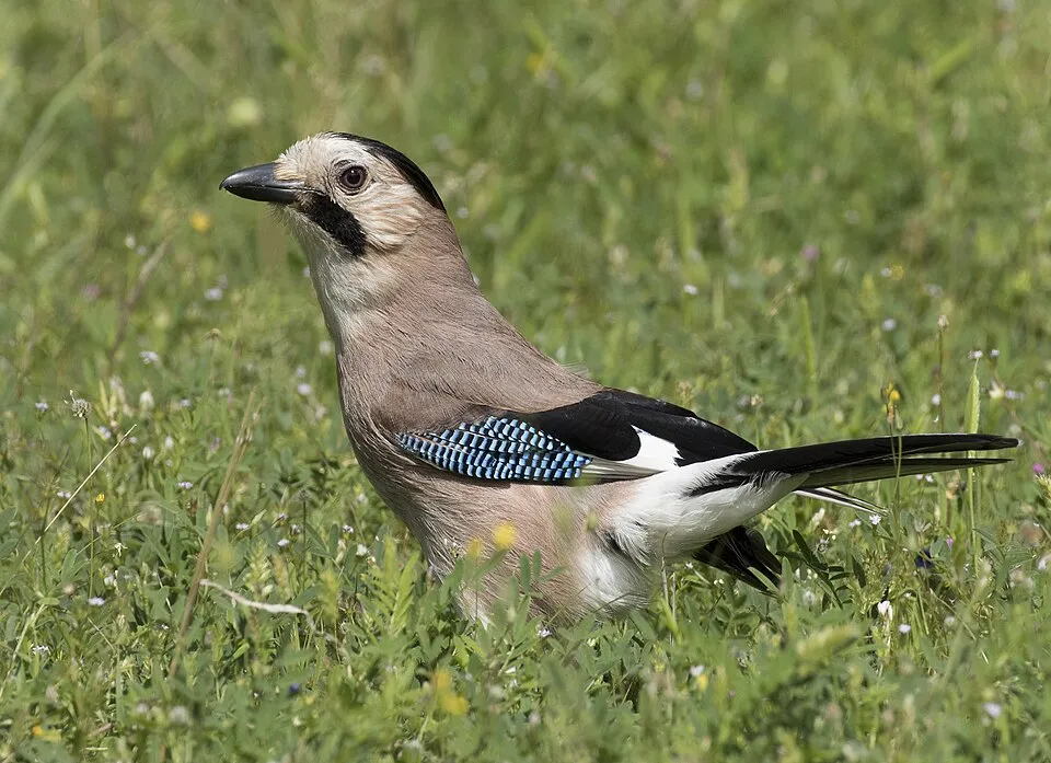
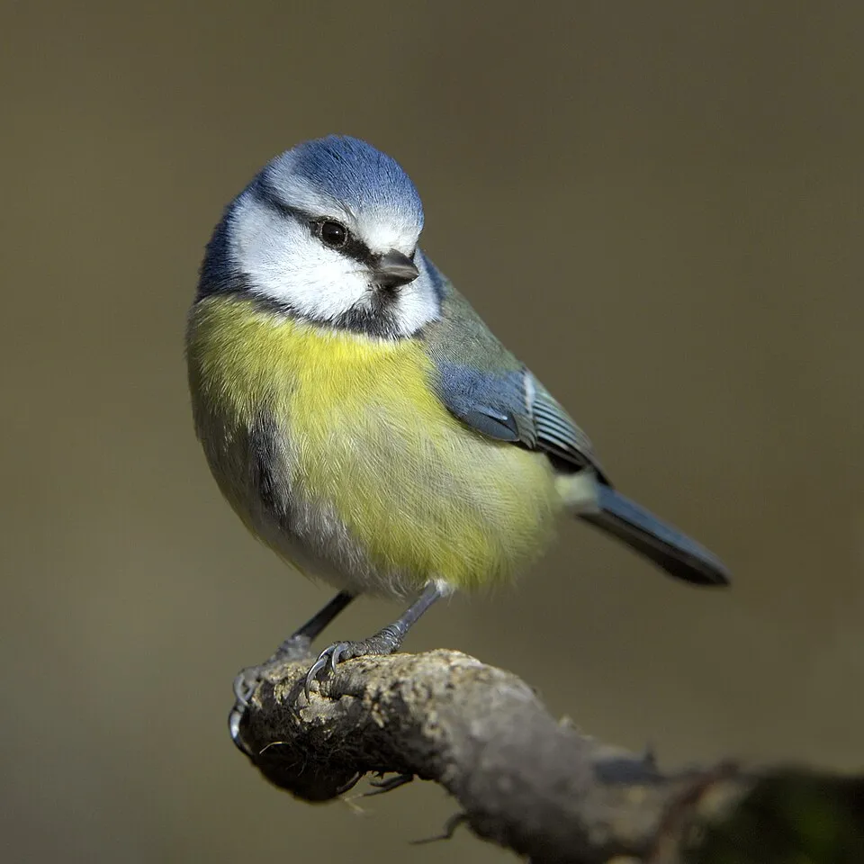
Among the species most often recorded on GBIF are Fringilla coelebs (Eurasian Chaffinch), Turdus merula (Common Blackbird), Garrulus glandarius (Eurasian Jay) and Parus major (Great tit).
What is the official website of Pindus National Park?
© OpenStreetMap
Download the boundary: GeoJSON · GPX Boundary © OpenStreetMap contributors (ODbL).
Geography
The representative point of the site lies at around 1,318 m above sea level. Over the 1996–2025 period, the mean annual temperature is about 9.4 °C and total precipitation reaches roughly 973 mm per year. The warmest month is usually July, the coolest January, and the wettest December. According to the European 1:1 million geological map (EGDI), the bedrock consists mainly of ultramafic rocks (31% of sampled points), sandstones (25%) and mudstones (19%). Sedimentary rocks account for 69% of sampled points. The geological units date mainly from the Paleogene (31% of sampled points).
Area
- Area
- 146,259 ha
- Elevation
- 1,318 m
- Median elevation
- 1,250 m
- Mean slope
- 17°
- Snow cover
- ≈ 50 days a year
- Coordinates
- 39.9, 21.1167
Terrain: Mapzen Terrain Tiles (SRTM, USGS)
Elevation bands
- 500–1,000 m 28%
- 1,000–1,500 m 46%
- 1,500–2,000 m 22%
- 2,000–2,500 m 4%
share of the site in each elevation band (smoothed terrain model: summits are rounded off) · Terrain: Mapzen Terrain Tiles (SRTM, USGS)
Bedrock
- Ultramafic rocks 31 %
- Sandstones 25 %
- Mudstones 19 %
- Limestones 13 %
- Conglomerates and breccias 13 %
Sedimentary rocks 69 % · Igneous rocks 31 % · Main age: Paleogene (31%)
Source: EGDI 1:1M geological map (EuroGeoSurveys and national geological surveys), CC BY 4.0 · 16 sampled points within the site.
Main summits
- Smolikas2,631 m
- Mosia2,578 m
- Gamila2,497 m
- Astraka2,486 m
- Stoma2,466 m
- Gamila II2,465 m
- Karteros2,456 m
- Goura (Tsouka)2,448 m
- Megala Litharia2,424 m
- Ploskos2,370 m
Data © OpenStreetMap contributors (ODbL)
Climate
● Mean temperature (°C) · ▮ Precipitation (mm)
Source: Copernicus ERA5-Land (C3S, doi:10.24381/cds.68d2bb30), monthly averages 1996–2025 interpolated to the representative point, temperatures adjusted for elevation.
Contains modified Copernicus Climate Change Service information 2026. Neither the European Commission nor ECMWF is responsible for any use that may be made of the Copernicus information or data it contains.
Snow cover measured by satellite
J
F
M
A
M
J
J
A
S
O
N
D
average share of the site under snow · snowiest parts · ≈ 50 days a year
Snow cover: MODIS/Terra MOD10CM v61 (Hall & Riggs, 2021, NASA NSIDC DAAC, doi:10.5067/MODIS/MOD10CM.061), imagery from NASA GIBS (ESDIS); 2015–2025 average, grid of about 5 km.
Natural habitats
According to CORINE Land Cover (2018), the site is mainly made up of forests (59%), heath and scrub (19%) and grassland and meadows (10%). Woodland mixes broadleaved and coniferous trees. Elevation ranges from about 620 m to 2,631 m (highest point: Smolikas). Median elevation is 1,250 m, and 26% of the site lies above 1,500 m (SRTM elevation model). The terrain is steep: 55% of slopes exceed 15° (mean slope 17°). The 11 Natura 2000 sites overlapping the area list 21 habitats of European interest (4 priority), the most extensive being (Sub-) Mediterranean pine forests with endemic black pines, Pannonian-Balkanic turkey oak-sessile oak forests and endemic oro-Mediterranean heaths with gorse.
Biodiversity
Based on occurrences aggregated by GBIF, several species are regularly recorded within the site. Among the most frequent are Fringilla coelebs (Eurasian Chaffinch), Turdus merula (Common Blackbird), Garrulus glandarius (Eurasian Jay) and Parus major (Great tit). The full list of documented taxa is shown below. The overlapping Natura 2000 sites list 101 species of European interest: 57 birds, 9 mammals, 19 reptiles, 7 amphibians, 5 fish and 4 plants.
Habitats of European interest
From the official forms of the 11 Natura 2000 sites overlapping the area (areas reported for each whole site).
- (Sub-) Mediterranean pine forests with endemic black pines priority 31,324 ha
- Pannonian-Balkanic turkey oak-sessile oak forests 14,113 ha
- Endemic oro-Mediterranean heaths with gorse 11,489 ha
- High oro-Mediterranean pine forests 8,684 ha
- Asperulo-Fagetum beech forests 4,332 ha
- Hellenic beech forests with Abies borisii-regis 3,748 ha
- Luzulo-Fagetum beech forests 2,868 ha
- Arborescent matorral with Juniperus spp. 2,763 ha
and 13 more
Species of European interest
Birds · 57
Common Sandpiper (Actitis hypoleucos) passage, Boreal Owl (Aegolius funereus) resident, Eurasian Skylark (Alauda arvensis) breeding, Common Kingfisher (Alcedo atthis) breeding, Tawny Pipit (Anthus campestris) breeding, Water Pipit (Anthus spinoletta) breeding, Tree Pipit (Anthus trivialis) breeding, Common Swift (Apus apus) breeding, Grey Heron (Ardea cinerea) passage, Eurasian Eagle-owl (Bubo bubo) resident, Common Buzzard (Buteo buteo) breeding resident, European Nightjar (Caprimulgus europaeus) breeding passage and 45 more
Mammals · 9
Golden jackal (Canis aureus), Forest dormouse (Dryomys nitedula), European wildcat (Felis silvestris), Savi's Pipistrelle (Hypsugo savii), Eurasian otter (Lutra lutra), Eurasian Lynx (Lynx lynx), Hazel dormouse (Muscardinus avellanarius), Common noctule (Nyctalus noctula), Common pipistrelle (Pipistrellus pipistrellus)
Reptiles · 19
Snake-eyed Skink (Ablepharus kitaibelii), Blue-throated Keeled Lizard (Algyroides nigropunctatus), Smooth snake (Coronella austriaca), Caspian whipsnake (Dolichophis caspius), Four-lined snake (Elaphe quatuorlineata), Sand lizard (Lacerta agilis), Balkan green lizard (Lacerta trilineata), Green lizard (Lacerta viridis), Dice snake (Natrix tessellata), Armored glass lizard (Ophisaurus apodus), Dahl's Whip Snake (Platyceps najadum), Erhard's wall lizard (Podarcis erhardii) and 7 more
Amphibians · 7
Yellow-bellied toad (Bombina variegata), Green Toad (Bufotes viridis), Common tree frog (Hyla arborea), Agile frog (Rana dalmatina), Greek Stream Frog (Rana graeca), Common frog (Rana temporaria), Macedonian Crested Newt (Triturus macedonicus)
Fish · 5
Large-spot Barbel (Barbus balcanicus), Peloponnese Barbel (Barbus peloponnesius), Briána (Barbus prespensis), Ohrid Spined Loach (Cobitis ohridana), Epiros Riffle Dace (Telestes pleurobipunctatus)
Plants · 4
Little grapefern (Botrychium simplex), Dactylorhiza kalopissii subsp. kalopissii, Serbian phoenix flower (Ramonda serbica), Butcher's-broom (Ruscus aculeatus)
Source: Natura 2000 standard data forms (EEA, CC-BY 4.0). Not exhaustive: sensitive species are not published.
Species to look out for



Observed species
Occurrences documented via GBIF; they are neither an exhaustive inventory nor proof of current presence.
- Eurasian Chaffinch · Fringilla coelebs · 406
- Common Blackbird · Turdus merula · 332
- Eurasian Jay · Garrulus glandarius · 317
- Great tit · Parus major · 308
- Eurasian blue tit · Cyanistes caeruleus · 259
- European robin · Erithacus rubecula · 243
- Northern Raven · Corvus corax · 212
- House Sparrow · Passer domesticus · 200
- Barn Swallow · Hirundo rustica · 185
- Common Buzzard · Buteo buteo · 181
- Long-tailed Tit · Aegithalos caudatus · 179
- Cirl Bunting · Emberiza cirlus · 172
Records: GBIF.org (CC-BY). Names: Wikidata (CC0), GBIF. Photos: Wikimedia Commons.
Conservation challenges
The primary purpose of the site is to preserve its natural habitats and the biodiversity they support. The species recorded (Biodiversity tab) reflect its ecological value. The designations it holds frame its management and the control of land use.
According to Global Forest Change data (University of Maryland, Global Forest Watch), about 2,900 ha of tree cover were lost within the boundary between 2001 and 2023 (2% of its area), peaking in 2001 and 2008. These losses include logging, storms and fires, and do not account for regrowth. According to the European CORINE Land Cover inventory (Copernicus), land cover changed on about 1,080 ha of the site between 1990 and 2018 (under 1% of its area). Forest felling and regrowth add about 3,300 ha in total over the period. Since 2016, the European EFFIS system (Copernicus) has mapped 6 fires here, burning about 965 ha within the boundary; the largest, in September 2026 (near Δημοτική Κοινότητα Κονίτσης), covered 540 ha. At night, 1% of the area gives off artificial light detectable from space (NASA VIIRS Black Marble composite, 2016): it ranks among the darkest places in the atlas for this country. According to the Natura 2000 forms, of 20 assessed habitats of European interest, 8 are in excellent condition and 1 in average or reduced condition. According to the Water Framework Directive assessment (2022 river basin management plans, data 2016–2021), 88% of the 278 km of rivers assessed within the site are in good or high ecological status. Other assessed water bodies: lakes, 1 of 1 in good ecological status or better. Since 2000, 11 invasive alien species have been recorded within the site (GBIF observations). Among them: Erigeron canadensis (Canada Horseweed), Amaranthus hybridus (Green Amaranth) and Xanthium orientale (Common cockleburr).
Pressure indicators
Tree cover lost
2,899 ha
2001–2023 · 2% of the area
20012023
Fires since 2016
965 ha
burned within the boundary (6 mapped fires)
- 2026 · Δημοτική Κοινότητα Κονίτσης · 540 ha
- 2021 · Τοπική Κοινότητα Πάδων · 336 ha
- 2021 · Τοπική Κοινότητα Καλουτά · 40 ha
Light at night
1%
of the area gives off artificial light visible from space
DarkLit
Built-up land
< 1%
buildings, business areas, roads, quarries · farmland 4%
Land cover change
1,080 ha
changed cover, 1990–2018 · CORINE · < 1% of the area
forest felling and regrowth: 3,300 ha in total
Rivers and lakes
88%
of the 278 km of assessed rivers in good or high ecological status · WFD 2022
Lakes: 1 of 1 good or better
assessments 2016–2021
Invasive alien species
11
recorded since 2000
 Canada Horseweed
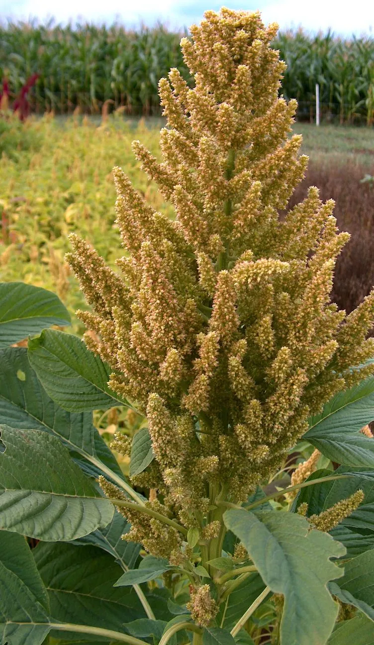 Green Amaranth
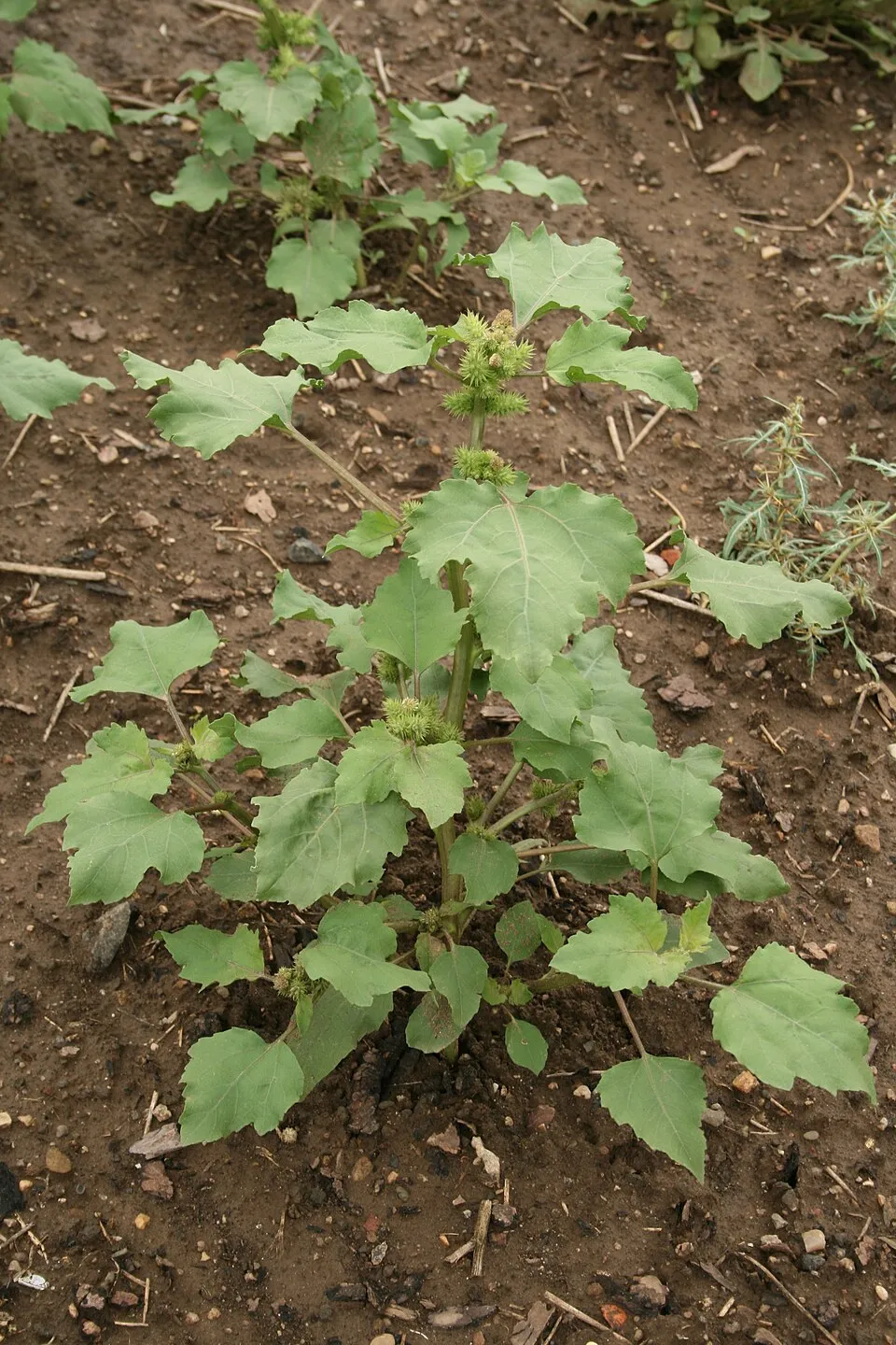 Common cockleburr
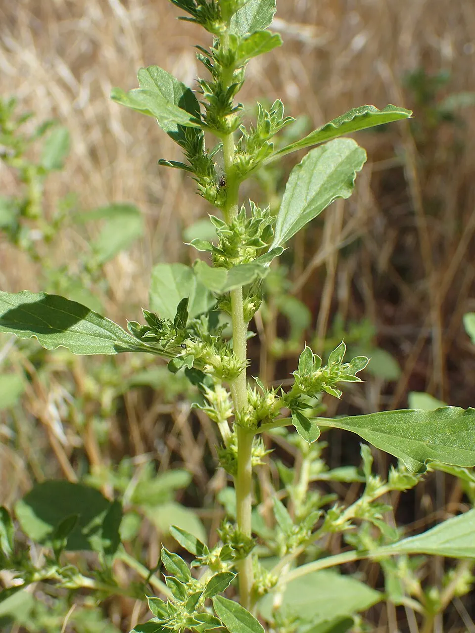 White pigweed
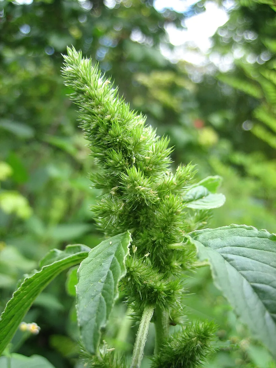 Common Amaranth
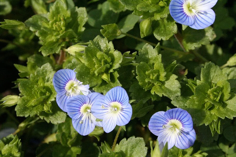 Common field-speedwell
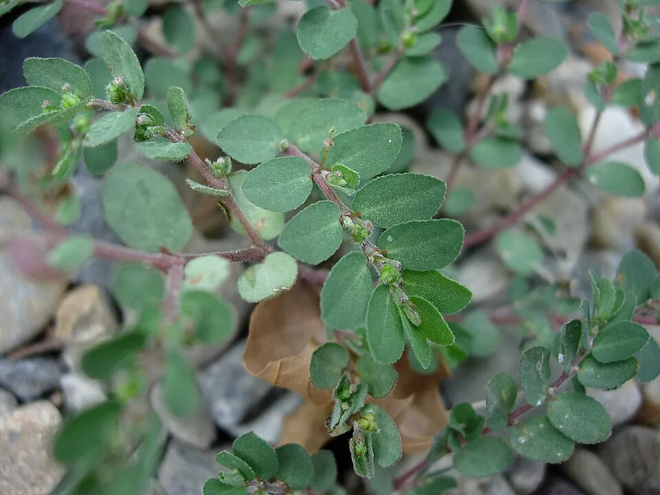 Prostrate Sandmat
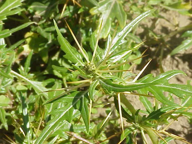 Spiny cocklebur
Photos: Canada Horseweed © Andrey Zharkikh from Salt Lake City, USA · CC BY 2.0; Green Amaranth © MarkusHagenlocher · CC BY-SA 3.0; Common cockleburr © Oceancetaceen - Alice Chodura · CC BY-SA 3.0; White pigweed © Kenraiz · CC BY-SA 4.0; Common Amaranth © Lynk media · CC BY-SA 3.0; Common field-speedwell © Strobilomyces · CC BY-SA 3.0; Prostrate Sandmat © toony · CC BY-SA 3.0; Spiny cocklebur © Kurt Stüber [1] · CC BY-SA 3.0
Sources: Global Forest Change (Hansen et al., University of Maryland, via Global Forest Watch, CC-BY 4.0); EFFIS, European Commission / Copernicus; NASA Black Marble 2016 (public domain); CORINE Land Cover 2018 (Copernicus) or MODIS.
CORINE Land Cover Change 1990–2018: generated using European Union's Copernicus Land Monitoring Service information (EEA), aggregated by Parkavela; DOI 10.2909/f30f1000-7cf8-43bb-872c-5eb093911b24.
Ecological status of water bodies: European Environment Agency, WISE – Water Framework Directive, 3rd river basin management plans (2022), CC BY 4.0. Official national classification, not comparable between countries.
Invasive alien species: Global Register of Introduced and Invasive Species (ISSG, CC BY 4.0); Union list, Regulation (EU) 1143/2014 (INBO, CC0); GBIF.org records (CC0 / CC BY 4.0), at least 2 per species.
Practical information
Cities and airport
- Ioannina
8 km as the crow flies - Trikala
49 km as the crow flies - Airport: Ioannina National Airport "King Pyrros" (IOA)
6 km as the crow flies
Visitor information
- National Park Information Center V. Pindou
within the site - Information Center of Aspraggeli
within the site - Kleidonia National Park Information Center
within the site - National Park information center
< 1 km from the site boundary
Parking
65 public car parks listed within the site
OxiaMonastery SpiliotissaChurch parkingB' Parking
Things to see
1 lake or pond · 2 caves
- Flegga Dragonlakes Perivoli
lake or pond - Kleidi Cave
cave - Megalakkos
cave
Hiking
70 waymarked routes listed, including:
E 6National walking routePindus Trail
Data © OpenStreetMap contributors (ODbL) · Wikidata (CC0)
Access and visiting
The nearest railway station is Kalambaka, about 30 km from the site boundary. Nearest towns of over 50,000 people, as the crow flies: Ioannina (8 km) and Trikala (49 km). Nearest airport: Ioannina National Airport "King Pyrros" (IOA), about 6 km away. About 190,000 people live within 20 km of the site boundary, 150,000 of them within 10 km; some 7,100 people are estimated to live inside (GHSL estimate, 2020). Visitor information on site: National Park Information Center V. Pindou, Information Center of Aspraggeli and Kleidonia National Park Information Center. Public car parks listed within the site: 65, including Oxia, Monastery Spiliotissa and Church parking. Waymarked hiking routes listed in OpenStreetMap: 70, including E 6, National walking route and Pindus Trail. To see: 1 lake or pond and 2 caves, including Flegga Dragonlakes Perivoli, Kleidi Cave and Megalakkos. Where to stay: Tymfi mountain refuge. To plan a visit (access, opening periods, visitor rules), it is best to consult the official information from the managing body and the official website listed in this page's sources.
Source: OpenStreetMap (ODbL), Wikidata (CC0), October 2026.
Built heritage
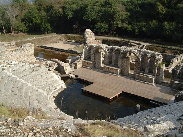
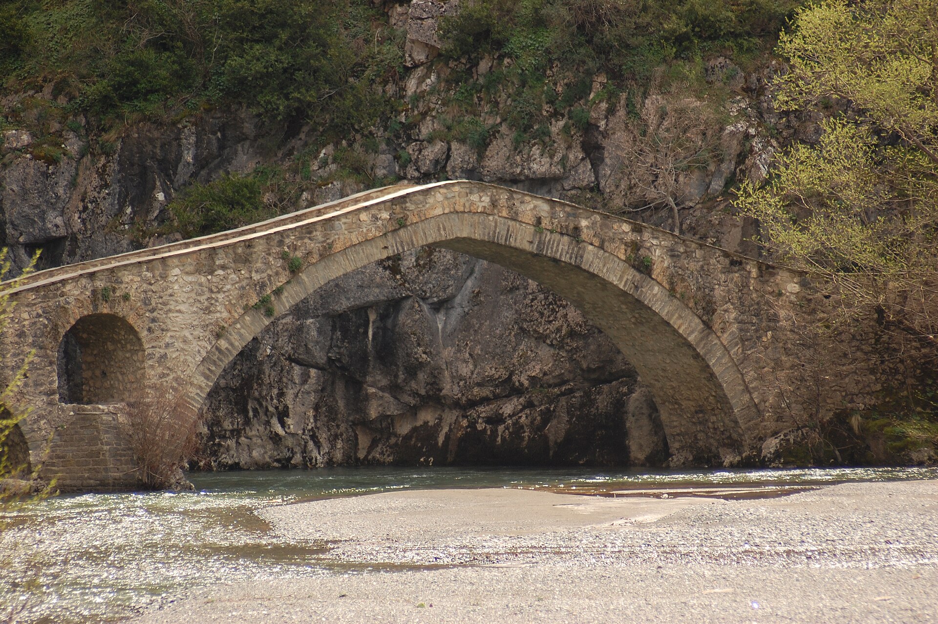
According to Wikidata, 41 monuments protected as Greek cultural heritage stand within the boundary. Among them are 21 religious buildings, 16 bridges, lighthouses, mills and working buildings and 3 castles and fortifications. Examples include “Agia Paraskevi church” in Zagori, “Castle of Konitsa” in Konitsa and “Vitsa” in Zagori.
21 religious buildings16 bridges, lighthouses, mills and working buildings3 castles and fortifications1 prehistoric or archaeological site
-
Agia Paraskevi church
Zagori -
Castle of Konitsa
Konitsa -
Vitsa
Zagori -
Bridge at Stambekis
Grevena -
Assumption of Mary Church
Grevena · 19th c. -
Spileo Castle
Grevena -
Bridge of Alatopetra or Prosvorou
Grevena -
Church of Agia Paraskevi
Konitsa
and 33 more
Source: Wikidata (CC0), monuments in each country’s official heritage protection registers, at national or regional level. Each item links to its Wikidata entry.
When to visit
Best time to visit: from May to October, with average temperatures of 10 to 20 °C and moderate rainfall. Average temperatures drop below 0 °C in January: frost is common. These averages apply to the site's representative point (1,318 m); higher up it is markedly cooler and snow lasts longer. According to NASA's MODIS satellites (2015–2025 average), snow covers most of the site in January, and until March on higher ground, with about 50 snow-covered days a year on average. Day length ranges from about 9 h 21 min in December to 14 h 59 min in June. Wildlife records published on GBIF peak for birds (July and August), plants (July), butterflies and moths (July and August) and mammals (September). These peaks also reflect when observers are most active.
Source: Copernicus ERA5-Land (C3S), monthly averages 1996–2025 at the representative point, temperatures adjusted for elevation.
Contains modified Copernicus Climate Change Service information 2026. Neither the European Commission nor ECMWF is responsible for any use that may be made of the Copernicus information or data it contains.
Wildlife records calendar
JFMAMJJASOND
Birds
Plants
Butterflies & moths
Mammals
Monthly records published on GBIF (CC-BY), relative to the busiest month; also reflects observer activity.
Gallery
© Karayan74 · CC BY-SA 4.0
© Tryfon Manolis · CC BY-SA 4.0
© Ernst Gügel · CC BY-SA 3.0
© Philip Gavrilos · CC BY-SA 4.0
© Μεταξία Φωτίου · CC BY-SA 4.0
© Vasileios Spiliotopoulos · CC BY-SA 4.0
Sources and licences
- Wikidata: Q1989158
- Official website: http://pindosnationalpark.gr
- Wikipedia: en.wikipedia.org/wiki/Pindus_National_Park
- WDPA: 329002
References
- cds.climate.copernicus.eu: climate · CC-BY-4.0
- registry.opendata.aws: elevation of the reference point, detailed relief · PD
- land.copernicus.eu: land cover, land cover change, sea share · COPERNICUS
- doi.org: population around the site · CC-BY-4.0
- wikidata.org: official area, establishment date, protected heritage, official name, nearby cities and airport, access and peaks, lake depths, places to see, official website · CC0-1.0
- eea.europa.eu: bathing water quality, ecological status of waters · CC-BY-4.0
- en.eurovelo.com: EuroVelo cycle routes · ODbL-1.0
- cycling.waymarkedtrails.org: cycle routes · ODbL-1.0
- opentopodata.org: elevations · PD
- forest-fire.emergency.copernicus.eu: wildfires · COPERNICUS
- globalforestwatch.org: tree cover loss · CC-BY-4.0
- gbif.org: seasonality of sightings, invasive alien species, observed species · CC-BY-4.0
- europe-geology.eu: geology · CC-BY-4.0
- hydrosheds.org: lakes · CC-BY-4.0
- natura2000.eea.europa.eu: Natura 2000 habitats and species · CC-BY-4.0
- earthobservatory.nasa.gov: night light · PD
- openstreetmap.org: access and peaks, trail difficulty · ODbL-1.0
- nsidc.org: snow cover · PD
- wikidata.org: Wikipedia article · CC-BY-SA-4.0
Data © OpenStreetMap contributors (ODbL), Wikidata (CC0) and the sources cited.