Italy · Terrestrial
Stupinigi Nature Park
Regional nature park of 1,611 hectares in Italy, established in 1992.
Overview
Regional nature park of 1,611 hectares in Italy, established in 1992.
Stupinigi Nature Park is a regional nature park in Italy (Europe). It is a predominantly terrestrial area. Established on 14 January 1992, it covers about 1,611 hectares.
Protections and designations
Natura 2000 · habitats (SAC)
- Stupinigi IT1110004
Protected as a regional nature park. International labels and designations: Natura 2000 network (1 site: “Stupinigi”).
Frequently asked questions
Where is Stupinigi Nature Park?
In Italy (Europe). Representative point: 44.9842° N, 7.5971° E.
How large is Stupinigi Nature Park?
About 1,611 hectares (16 km²). It is the 96th largest of the 128 regional parks in Italy covered by Parkavela.
When was Stupinigi Nature Park established?
On 14 January 1992.
What habitats and landscapes does Stupinigi Nature Park include?
A terrestrial area, where land cover is dominated by farmland (52%).
What rocks lie beneath Stupinigi Nature Park?
According to the European 1:1 million geological map (EGDI), the bedrock consists mainly of unconsolidated deposits (100% of sampled points). These are mostly sedimentary rocks. The geological units date mainly from the Quaternary (100% of sampled points).
Which international labels apply to Stupinigi Nature Park?
Natura 2000 network (1 site: “Stupinigi”).
When is the best time to visit Stupinigi Nature Park?
Best time to visit: from June to September, with average temperatures of 17 to 23 °C and moderate rainfall.
What is there to see in Stupinigi Nature Park?
Area umida ex maceratoio (lake or pond) (OpenStreetMap).
Are there historic monuments in Stupinigi Nature Park?
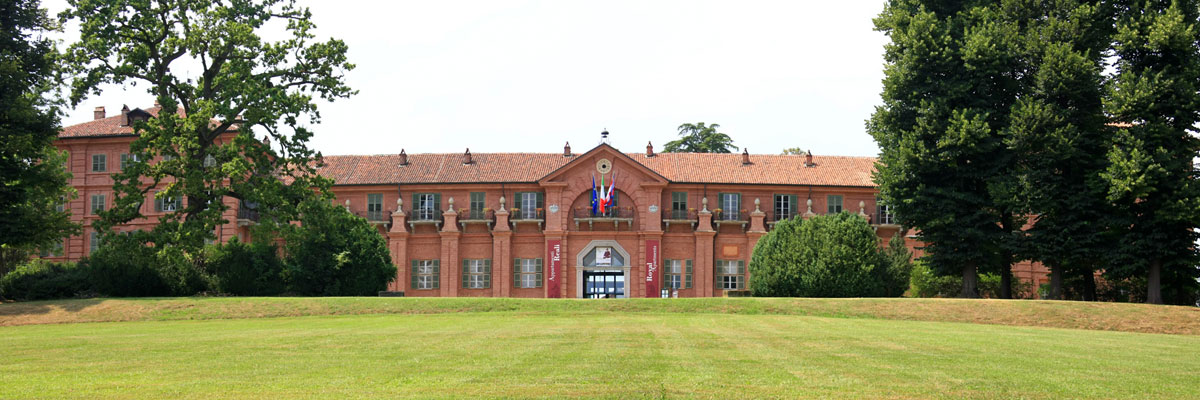
Yes. According to Wikidata, 3 monuments protected as Italian national cultural heritage stand within the boundary. For example: “Castle of Parpaglia” in Candiolo, “Palazzina di caccia di Stupinigi” in Nichelino and “Castelvecchio di Stupinigi” in Nichelino.
What is the nearest large city to Stupinigi Nature Park?
Nearest towns of over 50,000 people, as the crow flies: Moncalieri (5 km) and Turin (9 km). Nearest airport: Turin (TRN), about 22 km away.
How can I reach Stupinigi Nature Park by train?
The nearest railway station is Torino Porta Nuova, about 8 km from the site boundary.
Which species can be seen in Stupinigi Nature Park?
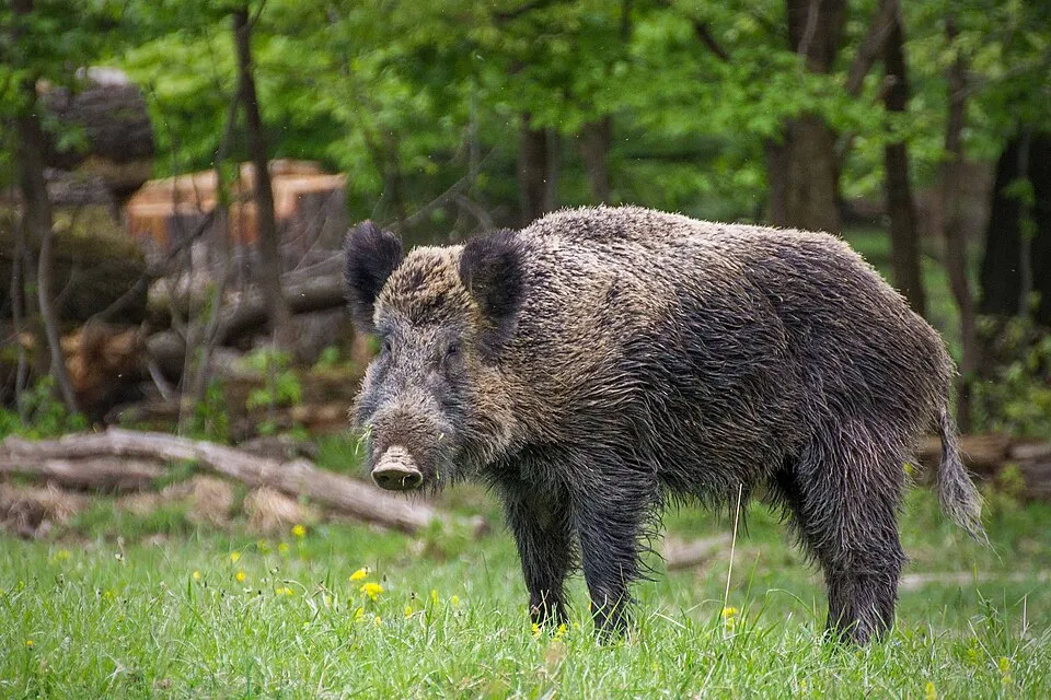
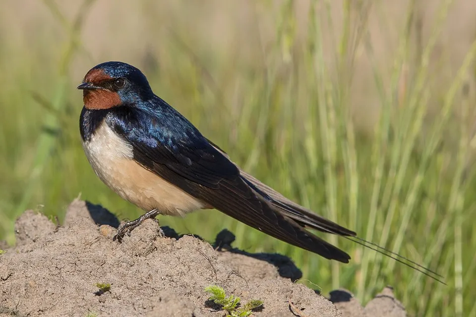
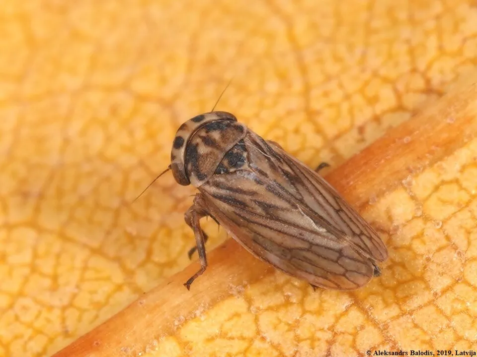
Among the species most often recorded on GBIF are Sus scrofa (Wild boar), Hirundo rustica (Barn Swallow), Turdus merula (Common Blackbird) and Anaceratagallia ribauti.
What is the official website of Stupinigi Nature Park?
© OpenStreetMap
Download the boundary: GeoJSON · GPX Boundary © OpenStreetMap contributors (ODbL).
Geography
The representative point of the site lies at around 251 m above sea level. Over the 1996–2025 period, the mean annual temperature is about 12.1 °C and total precipitation reaches roughly 1,097 mm per year. The warmest month is usually July, the coolest January, and the wettest May. According to the European 1:1 million geological map (EGDI), the bedrock consists mainly of unconsolidated deposits (100% of sampled points). These are mostly sedimentary rocks. The geological units date mainly from the Quaternary (100% of sampled points).
Area
- Area
- 1,611 ha
- Elevation
- 251 m
- Coordinates
- 44.9842, 7.5971
Bedrock
- Unconsolidated deposits 100 %
Sedimentary rocks 100 % · Main age: Quaternary (100%)
Source: EGDI 1:1M geological map (EuroGeoSurveys and national geological surveys), CC BY 4.0 · 12 sampled points within the site.
Climate
● Mean temperature (°C) · ▮ Precipitation (mm)
Source: Copernicus ERA5-Land (C3S, doi:10.24381/cds.68d2bb30), monthly averages 1996–2025 interpolated to the representative point, temperatures adjusted for elevation.
Contains modified Copernicus Climate Change Service information 2026. Neither the European Commission nor ECMWF is responsible for any use that may be made of the Copernicus information or data it contains.
Natural habitats
According to CORINE Land Cover (2018), the site is mainly made up of farmland (52%), forests (30%) and built-up or developed land (18%). Woodland is mostly broadleaved. The land is almost flat (mean slope under 2°). The Natura 2000 site overlapping the area lists 7 habitats of European interest (1 priority), the most extensive being Sub-Atlantic and medio-European oak or oak-hornbeam forests of the Carpinion betuli, alluvial forests with Alnus glutinosa and Fraxinus excelsior (Alno-Padion, Alnion incanae, Salicion albae) and lowland hay meadows (Alopecurus pratensis, Sanguisorba officinalis).
Biodiversity
Based on occurrences aggregated by GBIF, several species are regularly recorded within the site. Among the most frequent are Sus scrofa (Wild boar), Hirundo rustica (Barn Swallow), Turdus merula (Common Blackbird) and Anaceratagallia ribauti. The full list of documented taxa is shown below. The overlapping Natura 2000 site lists 28 species of European interest: 12 mammals, 5 reptiles, 5 amphibians, 1 fish and 5 invertebrates.
Habitats of European interest
From the official form of the Natura 2000 site overlapping the area (areas reported for the whole site).
- Sub-Atlantic and medio-European oak or oak-hornbeam forests of the Carpinion betuli 261 ha
- Alluvial forests with Alnus glutinosa and Fraxinus excelsior (Alno-Padion, Alnion incanae, Salicion albae) priority 67 ha
- Lowland hay meadows (Alopecurus pratensis, Sanguisorba officinalis) 44 ha
- Riparian mixed forests of Quercus robur, Ulmus laevis and Ulmus minor, Fraxinus excelsior or Fraxinus angustifolia, along the great rivers (Ulmenion minoris) 9 ha
- Natural eutrophic lakes with Magnopotamion or Hydrocharition-type vegetation 0 ha
- Hard oligo-mesotrophic waters with benthic vegetation of Chara spp. 0 ha
- Oligotrophic to mesotrophic standing waters with vegetation of the Littorelletea uniflorae and/or of the Isoëto-Nanojuncetea 0 ha
Species of European interest
Mammals · 12
Barbastelle (Barbastella barbastellus), Savi's Pipistrelle (Hypsugo savii), Hazel dormouse (Muscardinus avellanarius), Bechstein's bat (Myotis bechsteinii), Lesser mouse-eared myotis (Myotis blythii), Geoffroy's bat (Myotis emarginatus), Greater mouse-eared bat (Myotis myotis), Kuhl's pipistrelle (Pipistrellus kuhlii), Common pipistrelle (Pipistrellus pipistrellus), Brown long-eared bat (Plecotus auritus), Lesser horseshoe bat (Rhinolophus hipposideros), European free-tailed bat (Tadarida teniotis)
Reptiles · 5
Smooth snake (Coronella austriaca), Western Whip Snake (Hierophis viridiflavus), Western green lizard (Lacerta bilineata), Common wall lizard (Podarcis muralis), Aesculapian Snake (Zamenis longissimus)
Amphibians · 5
Green Toad (Bufotes viridis complex), Italian Tree Frog (Hyla intermedia), Edible frog (Pelophylax esculentus), Agile frog (Rana dalmatina), Italian crested newt (Triturus carnifex)
Invertebrates · 5
Greater Capricorn Beetle (Cerambyx cerdo), Jersey Tiger (Euplagia quadripunctaria), Stag beetle (Lucanus cervus), Large copper (Lycaena dispar), Hermit beetle (Osmoderma eremita)
Source: Natura 2000 standard data forms (EEA, CC-BY 4.0). Not exhaustive: sensitive species are not published.
Species to look out for

Observed species
Occurrences documented via GBIF; they are neither an exhaustive inventory nor proof of current presence.
- Wild boar · Sus scrofa · 33
- Barn Swallow · Hirundo rustica · 12
- Common Blackbird · Turdus merula · 11
- Anaceratagallia ribauti · 9
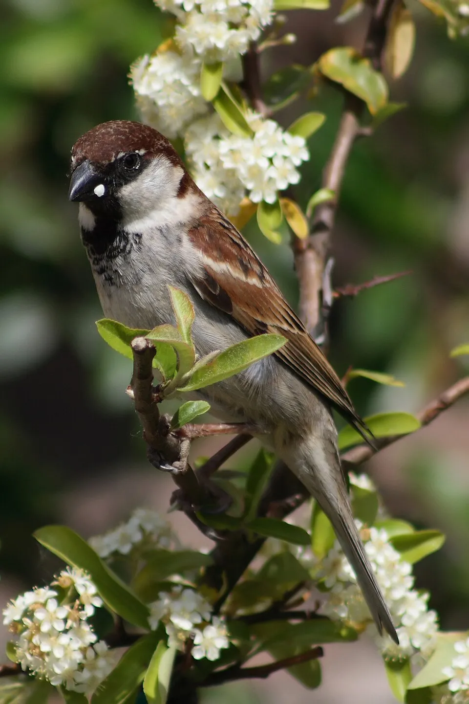
- Italian Sparrow · Passer italiae · 9
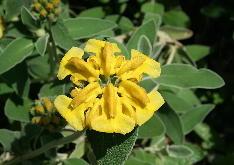
- Shrubby Jerusalem sage · Phlomis fruticosa · 8
- Dogwood · Cornus sanguinea · 8
- Small brown planthopper · Laodelphax striatellus · 8
- Guelder-rose · Viburnum opulus · 7
- Shrubby germander · Teucrium fruticans · 7
- Roe deer · Capreolus capreolus · 7
- Japanese grape leafhopper · Arboridia kakogawana · 6
Records: GBIF.org (CC-BY). Names: Wikidata (CC0), GBIF. Photos: Wikimedia Commons.
Conservation challenges
The primary purpose of the site is to preserve its natural habitats and the biodiversity they support. The species recorded (Biodiversity tab) reflect its ecological value. The designations it holds frame its management and the control of land use.
According to Global Forest Change data (University of Maryland, Global Forest Watch), about 38 ha of tree cover were lost within the boundary between 2001 and 2023 (2% of its area), peaking in 2010 and 2014. These losses include logging, storms and fires, and do not account for regrowth. According to the European CORINE Land Cover inventory (Copernicus), land cover changed on about 126 ha of the site between 1990 and 2018 (7% of its area): farmland grew by 107 ha, mostly at the expense of forest, while forest shrank by 104 ha, mostly giving way to farmland. At night, 100% of the area gives off artificial light detectable from space (NASA VIIRS Black Marble composite, 2016). Built-up and developed land (buildings, business areas, roads, quarries) covers 18% of the area, and farmland 52% (CORINE Land Cover). According to the Natura 2000 forms, all 4 assessed habitats of European interest are in good condition. Since 2000, 7 invasive alien species have been recorded within the site (GBIF observations). Among them: Phytolacca americana (American pokeweed), Potentilla indica (Yellow-flowered strawberry) and Prunus laurocerasus (Cherry laurel).
Pressure indicators
Tree cover lost
38 ha
2001–2023 · 2% of the area
20012023
Fires since 2016
0
No large fire mapped (fires over about 30 ha)
Light at night
100%
of the area gives off artificial light visible from space
DarkLit
Built-up land
18%
buildings, business areas, roads, quarries · farmland 52%
Land cover change
126 ha
changed cover, 1990–2018 · CORINE · 7% of the area
- +107 ha · farmland
- −104 ha · forest
Invasive alien species
7
recorded since 2000
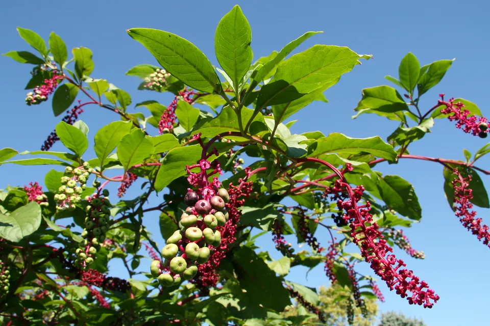 American pokeweed
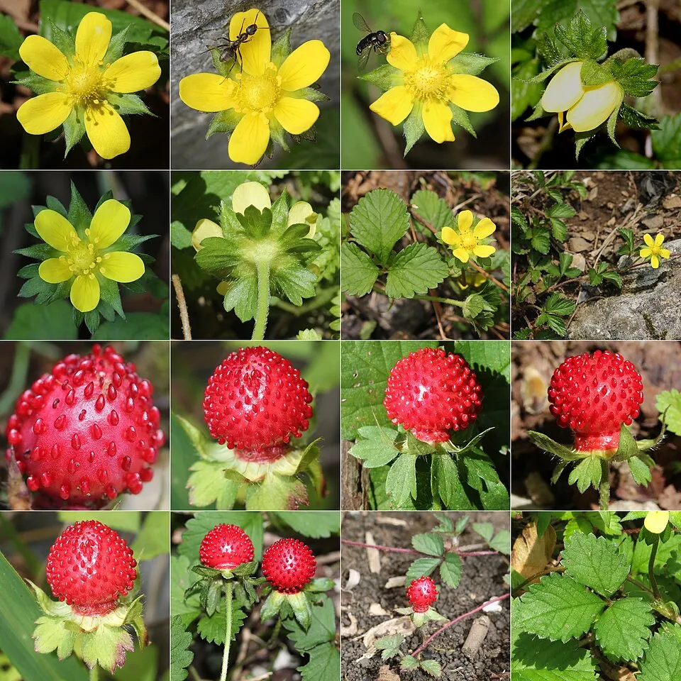 Yellow-flowered strawberry
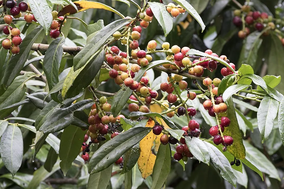 Cherry laurel
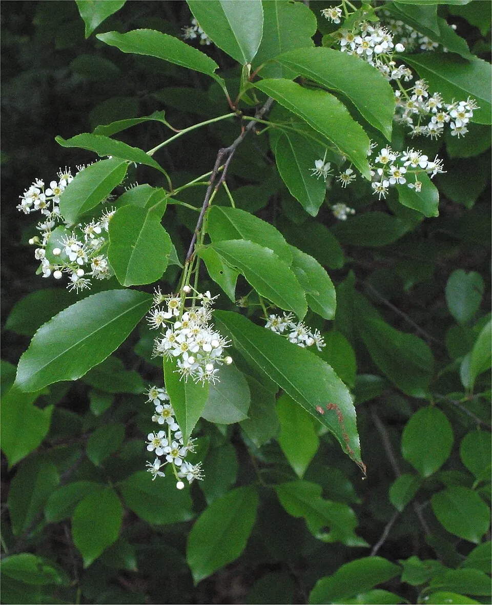 Black cherry
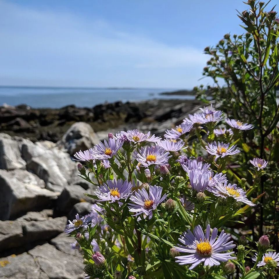 New York aster
 Velvetleaf
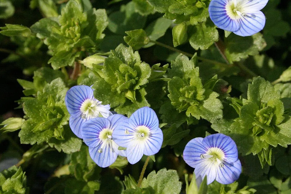 Common field-speedwell
Photos: American pokeweed © Huw Williams (Huwmanbeing) · Public domain; Yellow-flowered strawberry © Alpsdake · CC BY-SA 4.0; Cherry laurel © Zeynel Cebeci · CC BY-SA 4.0; Black cherry © Rasbak · CC BY-SA 3.0; New York aster © Benoit Renaud · CC BY 4.0; Velvetleaf © Salicyna · CC BY-SA 4.0; Common field-speedwell © Strobilomyces · CC BY-SA 3.0
Sources: Global Forest Change (Hansen et al., University of Maryland, via Global Forest Watch, CC-BY 4.0); EFFIS, European Commission / Copernicus; NASA Black Marble 2016 (public domain); CORINE Land Cover 2018 (Copernicus) or MODIS.
CORINE Land Cover Change 1990–2018: generated using European Union's Copernicus Land Monitoring Service information (EEA), aggregated by Parkavela; DOI 10.2909/f30f1000-7cf8-43bb-872c-5eb093911b24.
Invasive alien species: Global Register of Introduced and Invasive Species (ISSG, CC BY 4.0); Union list, Regulation (EU) 1143/2014 (INBO, CC0); GBIF.org records (CC0 / CC BY 4.0), at least 2 per species.
Practical information
Cities and airport
- Moncalieri
5 km as the crow flies - Turin
9 km as the crow flies - Airport: Turin (TRN)
22 km as the crow flies
By bike
EV8 · 6 km P27 Ciclostrada Torino-Pinerolo · 5 km
Signed cycle routes: this does not mean that cycling is allowed on footpaths.
Data © OpenStreetMap contributors (ODbL) · Wikidata (CC0)
Contains information from EuroVelo GPX tracks downloaded from www.EuroVelo.com on 2026-10-22, which is made available here under the Open Database License (ODbL). EuroVelo® is a registered trademark of the ECF. Routes © OpenStreetMap contributors (ODbL), via Waymarked Trails
Access and visiting
The nearest railway station is Torino Porta Nuova, about 8 km from the site boundary. Nearest towns of over 50,000 people, as the crow flies: Moncalieri (5 km) and Turin (9 km). Nearest airport: Turin (TRN), about 22 km away. About 1.7 million people live within 20 km of the site boundary, 1 million of them within 10 km; some 3,100 people are estimated to live inside (GHSL estimate, 2020). The EuroVelo 8 cycle route (Mediterranean Route) crosses the site for about 6 km, mostly developed and signed; another signed cycle route also passes through: “P27 Ciclostrada Torino-Pinerolo” (EuroVelo, OpenStreetMap). To see: Area umida ex maceratoio (lake or pond). To plan a visit (access, opening periods, visitor rules), it is best to consult the official information from the managing body and the official website listed in this page's sources.
Source: OpenStreetMap (ODbL), Wikidata (CC0), October 2026.
Built heritage
According to Wikidata, 3 monuments protected as Italian national cultural heritage stand within the boundary. Examples include “Castle of Parpaglia” in Candiolo, “Palazzina di caccia di Stupinigi” in Nichelino and “Castelvecchio di Stupinigi” in Nichelino.
-
Castle of Parpaglia
Candiolo -
Palazzina di caccia di Stupinigi
Nichelino -
Castelvecchio di Stupinigi
Nichelino
Source: Wikidata (CC0), monuments in each country’s official heritage protection registers, at national or regional level. Each item links to its Wikidata entry.
When to visit
Best time to visit: from June to September, with average temperatures of 17 to 23 °C and moderate rainfall. Precipitation peaks in May (up to 140 mm per month). Day length ranges from about 8 h 47 min in December to 15 h 35 min in June. Wildlife records published on GBIF peak for birds (December and January), plants (May) and butterflies and moths (June). These peaks also reflect when observers are most active.
Source: Copernicus ERA5-Land (C3S), monthly averages 1996–2025 at the representative point, temperatures adjusted for elevation.
Contains modified Copernicus Climate Change Service information 2026. Neither the European Commission nor ECMWF is responsible for any use that may be made of the Copernicus information or data it contains.
Wildlife records calendar
JFMAMJJASOND
Birds
Plants
Butterflies & moths
Monthly records published on GBIF (CC-BY), relative to the busiest month; also reflects observer activity.
Gallery
© Pampuco · CC BY-SA 4.0
© Donpesky · CC BY-SA 4.0
© sandro bisotti · Public domain
© adirricor · CC BY 3.0
© sandro bisotti · CC0-1.0
© Gody Mago · CC BY-SA 4.0
Sources and licences
- Wikidata: Q3895658
- Official website: http://www.parchireali.gov.it/parco.stupinigi/
- Wikipedia: fr.wikipedia.org/wiki/Parc_naturel_de_Stupinigi
- WDPA: 162032
References
- cds.climate.copernicus.eu: climate · CC-BY-4.0
- registry.opendata.aws: elevation of the reference point, detailed relief · PD
- land.copernicus.eu: land cover, land cover change, sea share · COPERNICUS
- doi.org: population around the site · CC-BY-4.0
- wikidata.org: official area, establishment date, protected heritage, nearby cities and airport, access and peaks, lake depths, places to see, official website · CC0-1.0
- eea.europa.eu: bathing water quality, ecological status of waters · CC-BY-4.0
- en.eurovelo.com: EuroVelo cycle routes · ODbL-1.0
- cycling.waymarkedtrails.org: cycle routes · ODbL-1.0
- opentopodata.org: elevations · PD
- forest-fire.emergency.copernicus.eu: wildfires · COPERNICUS
- globalforestwatch.org: tree cover loss · CC-BY-4.0
- gbif.org: seasonality of sightings, invasive alien species, observed species · CC-BY-4.0
- europe-geology.eu: geology · CC-BY-4.0
- hydrosheds.org: lakes · CC-BY-4.0
- natura2000.eea.europa.eu: Natura 2000 habitats and species · CC-BY-4.0
- openstreetmap.org: official name, access and peaks, places to see · ODbL-1.0
- earthobservatory.nasa.gov: night light · PD
- nsidc.org: snow cover · PD
- wikidata.org: Wikipedia article · CC-BY-SA-4.0
Data © OpenStreetMap contributors (ODbL), Wikidata (CC0) and the sources cited.