Italy · Terrestrial
Monte Tre Denti-Freidour Nature Park
Regional nature park of 818 hectares in Italy, established in 2004.
Overview
Regional nature park of 818 hectares in Italy, established in 2004.
Monte Tre Denti-Freidour Nature Park is a regional nature park in Italy (Europe). It is a predominantly terrestrial area. Established in 2004, it covers about 818 hectares.
In our collections
Frequently asked questions
Where is Monte Tre Denti-Freidour Nature Park?
In Italy (Europe). Representative point: 44.9857° N, 7.3172° E.
How large is Monte Tre Denti-Freidour Nature Park?
About 818 hectares (8 km²). It is the 108th largest of the 128 regional parks in Italy covered by Parkavela.
When was Monte Tre Denti-Freidour Nature Park established?
In 2004.
What habitats and landscapes does Monte Tre Denti-Freidour Nature Park include?
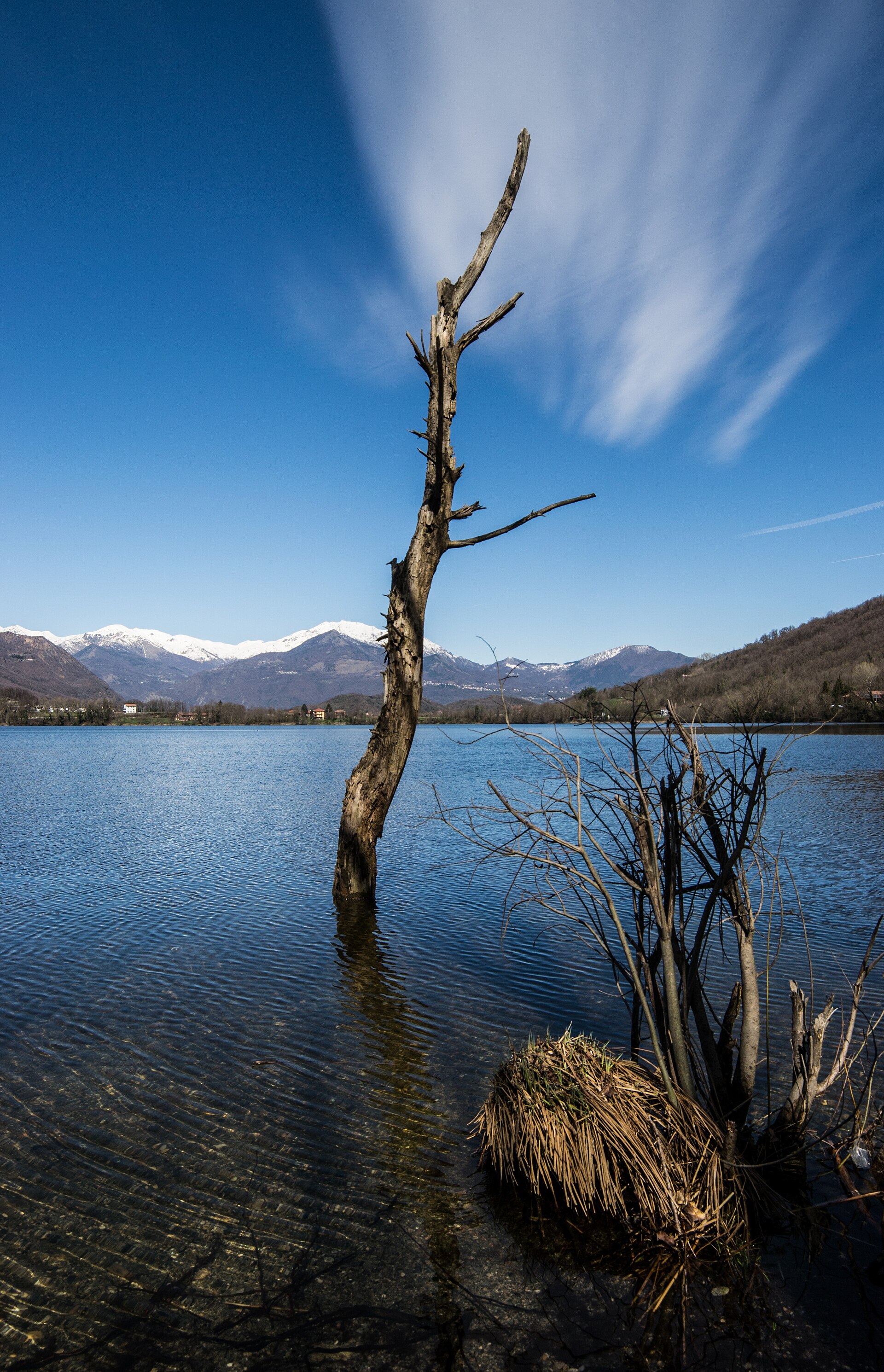
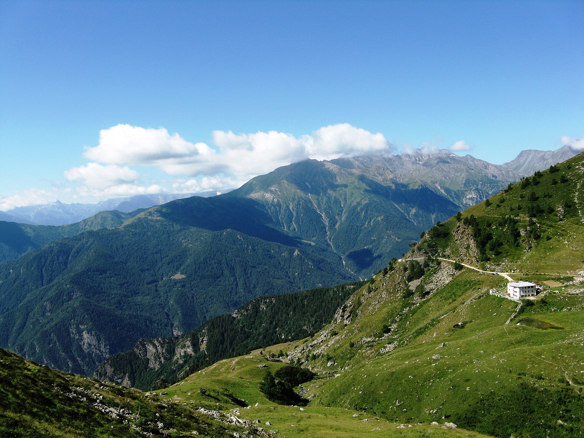
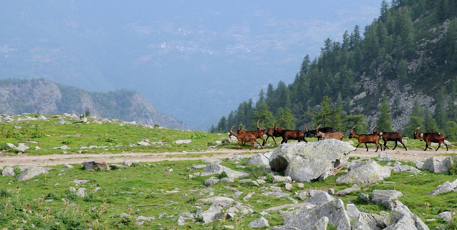
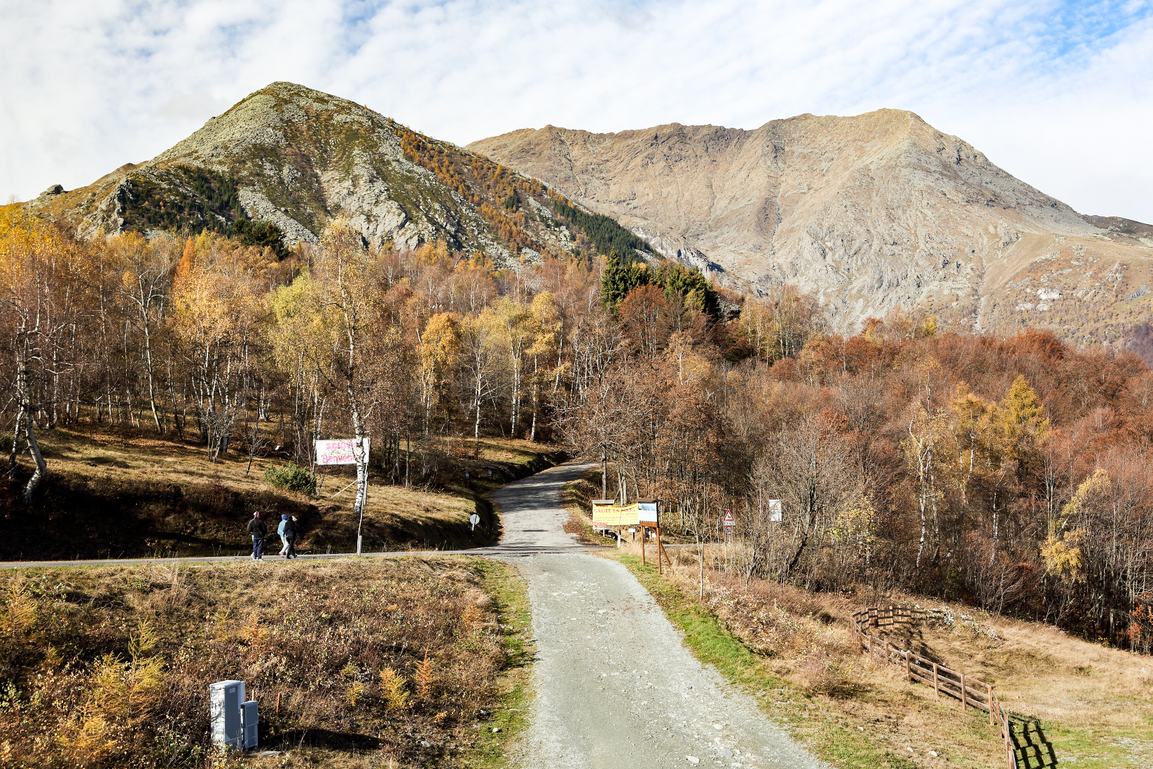
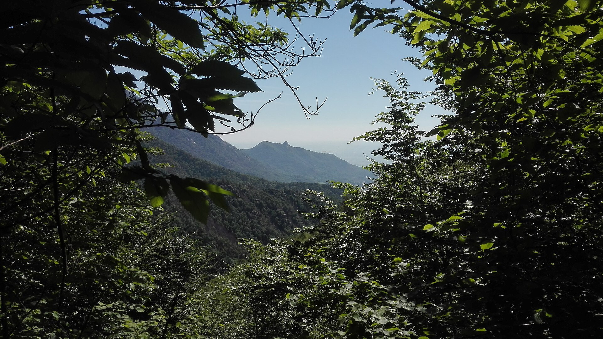
A terrestrial area, with forests and mountains.
What rocks lie beneath Monte Tre Denti-Freidour Nature Park?
According to the European 1:1 million geological map (EGDI), the bedrock consists mainly of gneiss (94% of sampled points). These are mostly metamorphic rocks. The geological units date mainly from the Carboniferous (100% of sampled points).
What is the highest point of Monte Tre Denti-Freidour Nature Park?
Monte Freidour, at 1,452 m (OpenStreetMap).
When is the best time to visit Monte Tre Denti-Freidour Nature Park?
Best time to visit: from June to September, with average temperatures of 13 to 18 °C and moderate rainfall.
What is there to see in Monte Tre Denti-Freidour Nature Park?
1 viewpoint (OpenStreetMap).
Where can I stay in Monte Tre Denti-Freidour Nature Park?
Rifugio Alpe del Capitano (846 m) (OpenStreetMap).
What is the nearest large city to Monte Tre Denti-Freidour Nature Park?
Nearest towns of over 50,000 people, as the crow flies: Moncalieri (26 km) and Turin (27 km). Nearest airport: Turin (TRN), about 33 km away.
How can I reach Monte Tre Denti-Freidour Nature Park by train?
The nearest railway station is Piscina di Pinerolo, about 8 km from the site boundary.
Are there waymarked hiking trails in Monte Tre Denti-Freidour Nature Park?
Yes. Waymarked hiking routes listed in OpenStreetMap: 19.
Which species can be seen in Monte Tre Denti-Freidour Nature Park?
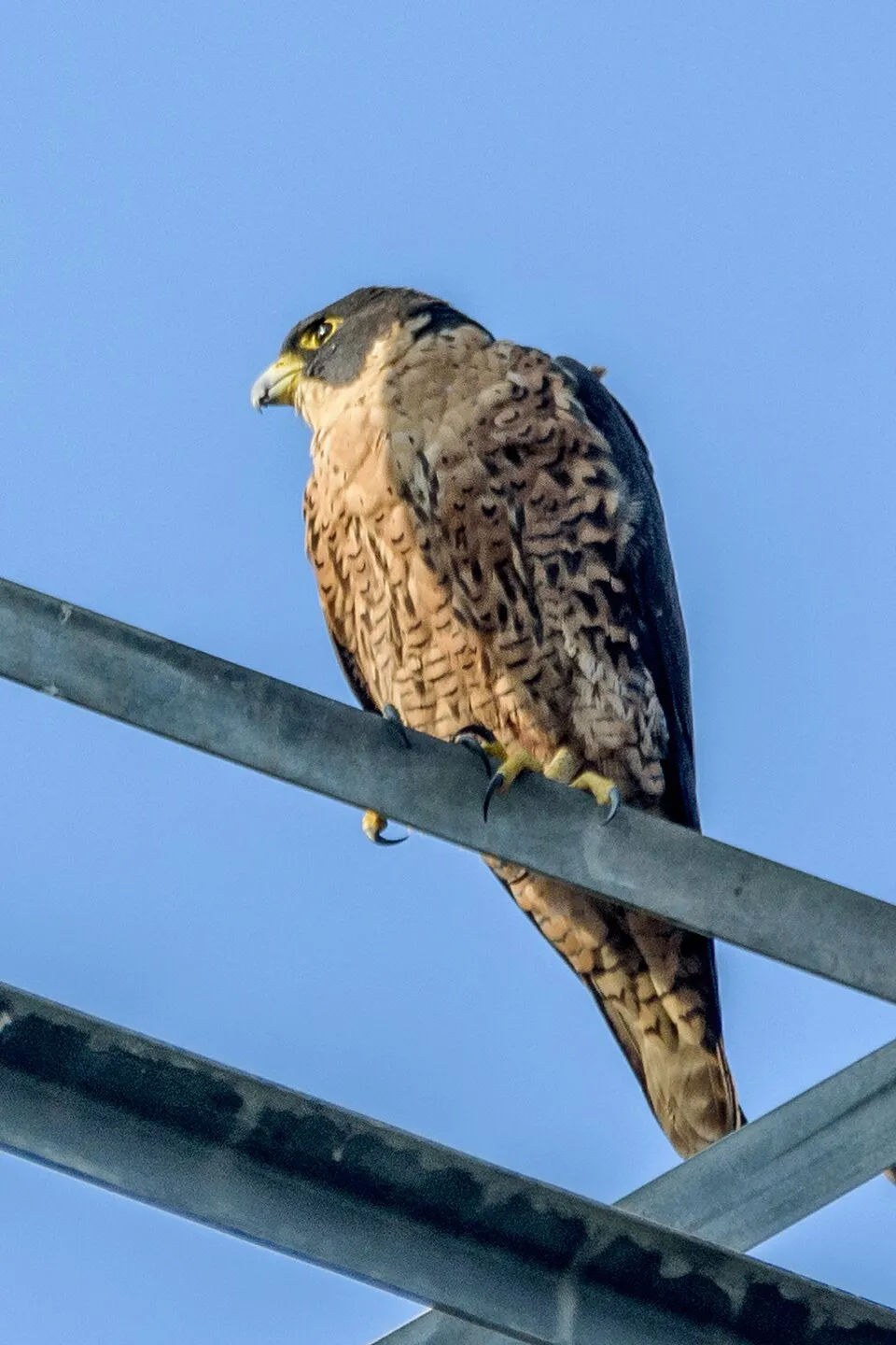
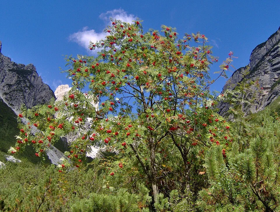
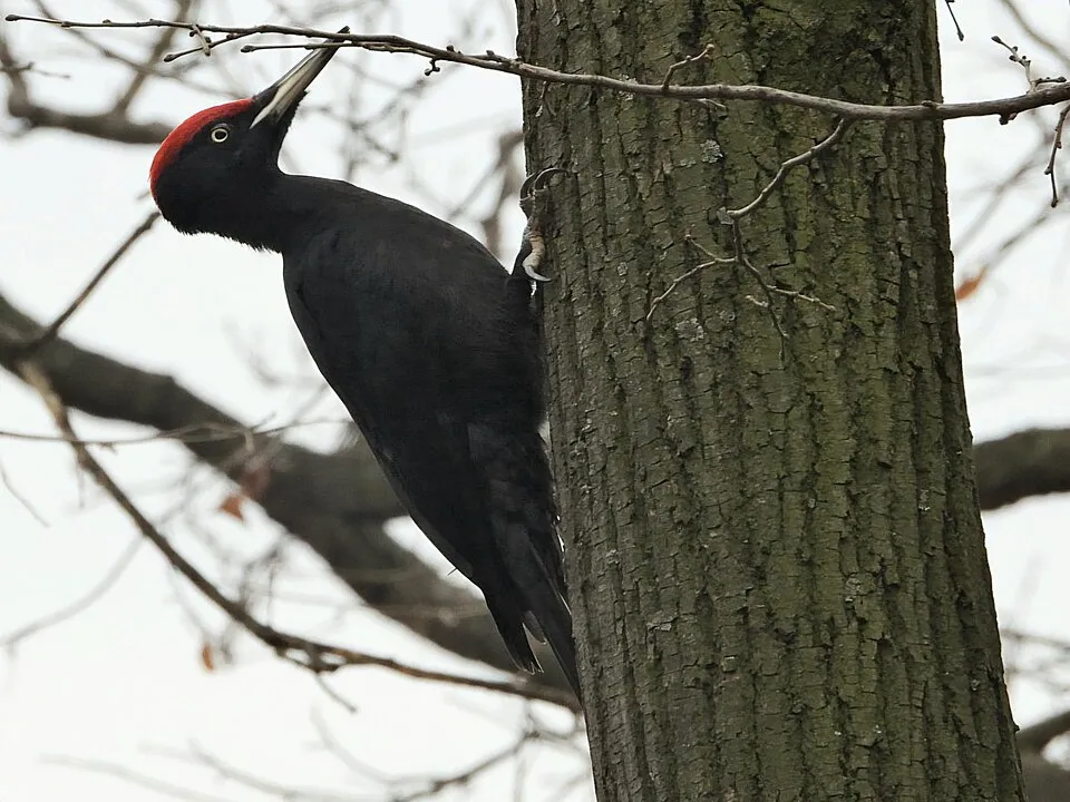
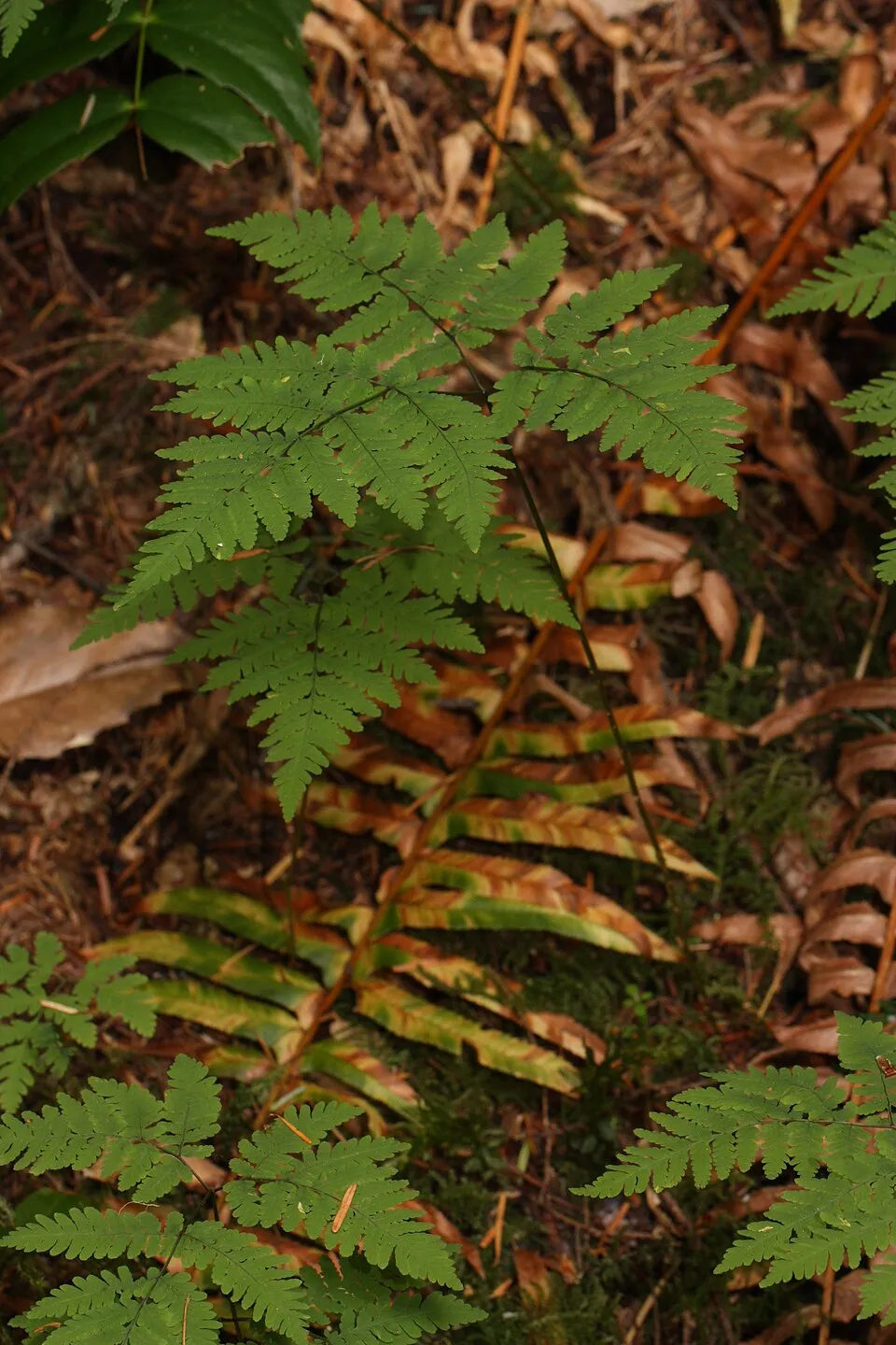
Among the species most often recorded on GBIF are Falco peregrinus (Peregrine Falcon), Sorbus aucuparia (Rowan), Dryocopus martius (Black Woodpecker) and Gymnocarpium dryopteris (Oak fern).
© OpenStreetMap
Download the boundary: GeoJSON · GPX Boundary © OpenStreetMap contributors (ODbL).
Geography
The representative point of the site lies at around 963 m above sea level. Over the 1996–2025 period, the mean annual temperature is about 7.4 °C and total precipitation reaches roughly 1,348 mm per year. The warmest month is usually July, the coolest January, and the wettest May. According to the European 1:1 million geological map (EGDI), the bedrock consists mainly of gneiss (94% of sampled points). These are mostly metamorphic rocks. The geological units date mainly from the Carboniferous (100% of sampled points).
Area
- Area
- 818 ha
- Elevation
- 963 m
- Median elevation
- 889 m
- Mean slope
- 23°
- Coordinates
- 44.9857, 7.3172
Terrain: Mapzen Terrain Tiles (SRTM, USGS)
Elevation bands
- 500–1,000 m 64%
- 1,000–1,500 m 36%
share of the site in each elevation band (smoothed terrain model: summits are rounded off) · Terrain: Mapzen Terrain Tiles (SRTM, USGS)
Bedrock
- Gneiss 94 %
- Conglomerates and breccias 6 %
Metamorphic rocks 94 % · Sedimentary rocks 6 % · Main age: Carboniferous (100%)
Source: EGDI 1:1M geological map (EuroGeoSurveys and national geological surveys), CC BY 4.0 · 16 sampled points within the site.
Climate
● Mean temperature (°C) · ▮ Precipitation (mm)
Source: Copernicus ERA5-Land (C3S, doi:10.24381/cds.68d2bb30), monthly averages 1996–2025 interpolated to the representative point, temperatures adjusted for elevation.
Contains modified Copernicus Climate Change Service information 2026. Neither the European Commission nor ECMWF is responsible for any use that may be made of the Copernicus information or data it contains.
Natural habitats
According to CORINE Land Cover (2018), the site is mainly made up of forests (98%). Woodland is mostly broadleaved. Elevation ranges from about 540 m to 1,452 m (highest point: Monte Freidour). Median elevation is 889 m, and 36% of the site lies above 1,000 m (SRTM elevation model). The terrain is steep: 20% of slopes exceed 30° (mean slope 23°).
Biodiversity
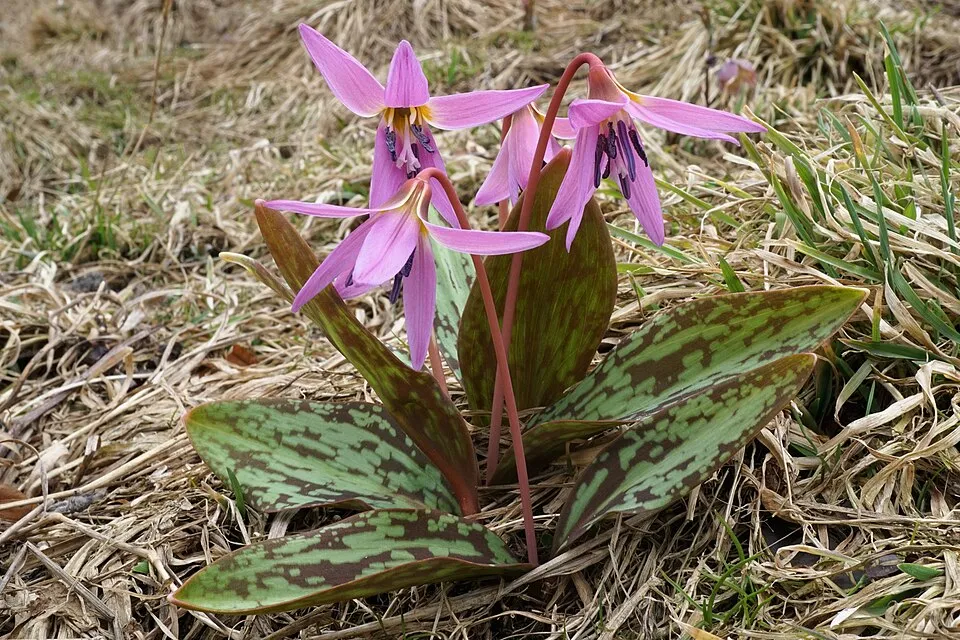
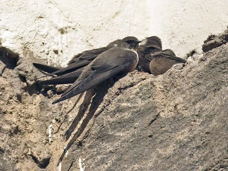
Based on occurrences aggregated by GBIF, several species are regularly recorded within the site. Among the most frequent are Falco peregrinus (Peregrine Falcon), Sorbus aucuparia (Rowan), Dryocopus martius (Black Woodpecker) and Gymnocarpium dryopteris (Oak fern). The full list of documented taxa is shown below.
Species to look out for
Observed species
Occurrences documented via GBIF; they are neither an exhaustive inventory nor proof of current presence.
- Peregrine Falcon · Falco peregrinus · 2
- Rowan · Sorbus aucuparia · 2
- Black Woodpecker · Dryocopus martius · 1
- Oak fern · Gymnocarpium dryopteris · 1
- Dog's-tooth-violet · Erythronium dens-canis · 1
- Eurasian Crag Martin · Ptyonoprogne rupestris · 1
- Common Swift · Apus apus · 1
- Scots Pine · Pinus sylvestris · 1
- Bride's feathers · Aruncus dioicus · 1
- Barn Swallow · Hirundo rustica · 1
- Great tit · Parus major · 1
Records: GBIF.org (CC-BY). Names: Wikidata (CC0), GBIF. Photos: Wikimedia Commons.
Conservation challenges
The primary purpose of the site is to preserve its natural habitats and the biodiversity they support. The species recorded (Biodiversity tab) reflect its ecological value. Its status as a regional nature park sets the regulatory framework for its protection.
According to Global Forest Change data (University of Maryland, Global Forest Watch), about 31 ha of tree cover were lost within the boundary between 2001 and 2023 (4% of its area), peaking in 2019 and 2020. These losses include logging, storms and fires, and do not account for regrowth. According to CORINE Land Cover, land cover here remained almost unchanged between 1990 and 2018 (less than 0.5% of the area affected). Since 2016, the European EFFIS system (Copernicus) has mapped one fire here, in October 2017 (near Cumiana), which burned about 551 ha of the site. At night, 2% of the area gives off artificial light detectable from space (NASA VIIRS Black Marble composite, 2016). According to the Water Framework Directive assessment (2022 river basin management plans, data 2014), the only river assessed within the site has poor ecological status.
Pressure indicators
Tree cover lost
31 ha
2001–2023 · 4% of the area
20012023
Fires since 2016
551 ha
burned within the boundary (1 mapped fire)
- 2017 · Cumiana · 551 ha
Light at night
2%
of the area gives off artificial light visible from space
DarkLit
Land cover change
< 0.5%
of the area changed, 1990–2018 · CORINE
Rivers and lakes
0%
of the 3 km of assessed rivers in good or high ecological status · WFD 2022
assessments 2014
Sources: Global Forest Change (Hansen et al., University of Maryland, via Global Forest Watch, CC-BY 4.0); EFFIS, European Commission / Copernicus; NASA Black Marble 2016 (public domain); CORINE Land Cover 2018 (Copernicus) or MODIS.
CORINE Land Cover Change 1990–2018: generated using European Union's Copernicus Land Monitoring Service information (EEA), aggregated by Parkavela; DOI 10.2909/f30f1000-7cf8-43bb-872c-5eb093911b24.
Ecological status of water bodies: European Environment Agency, WISE – Water Framework Directive, 3rd river basin management plans (2022), CC BY 4.0. Official national classification, not comparable between countries.
Practical information
Cities and airport
- Moncalieri
26 km as the crow flies - Turin
27 km as the crow flies - Airport: Turin (TRN)
33 km as the crow flies
Things to see
1 viewpoint
Hiking
19 waymarked routes listed
Data © OpenStreetMap contributors (ODbL) · Wikidata (CC0)
Waymarked hiking routes
002 Unnamed route
2 km within the site ↗ 572 m↘ 6 m 708–1,294 m
up to T3 · demanding mountain hiking
004 Unnamed route
3.2 km within the site ↗ 307 m↘ 66 m 626–879 m
up to T2 · mountain hiking
005 Unnamed route
3.6 km within the site ↗ 466 m↘ 20 m 847–1,298 m
up to T2 · mountain hiking
Tracks © OpenStreetMap contributors (ODbL), clipped to the boundary; elevation gain and profiles computed on the longest section from Mapzen Terrain Tiles (≈ 30 m), indicative only. Indicative difficulty (SAC scale, OpenStreetMap, via Waymarked Trails): check with the park.
Access and visiting
The nearest railway station is Piscina di Pinerolo, about 8 km from the site boundary. Nearest towns of over 50,000 people, as the crow flies: Moncalieri (26 km) and Turin (27 km). Nearest airport: Turin (TRN), about 33 km away. About 470,000 people live within 20 km of the site boundary, 130,000 of them within 10 km; some 70 people are estimated to live inside (GHSL estimate, 2020). This population has grown by about 6% since 2000. Waymarked hiking routes listed in OpenStreetMap: 19. To see: 1 viewpoint. Where to stay: Rifugio Alpe del Capitano (846 m). To plan a visit (access, opening periods, visitor rules), it is best to consult the official information from the managing body and the official website listed in this page's sources.
Source: OpenStreetMap (ODbL), Wikidata (CC0), October 2026.
When to visit
Best time to visit: from June to September, with average temperatures of 13 to 18 °C and moderate rainfall. Average temperatures drop below 0 °C from December to February: frost is common. These averages apply to the site's representative point (963 m); higher up it is markedly cooler and snow lasts longer. Day length ranges from about 8 h 47 min in December to 15 h 35 min in June.
Source: Copernicus ERA5-Land (C3S), monthly averages 1996–2025 at the representative point, temperatures adjusted for elevation.
Contains modified Copernicus Climate Change Service information 2026. Neither the European Commission nor ECMWF is responsible for any use that may be made of the Copernicus information or data it contains.
Gallery
© Gargasgrullo · CC BY-SA 4.0
© Francofranco56 · CC BY-SA 4.0
Sources and licences
- Wikidata: Q3895655
- Wikipedia: it.wikipedia.org/wiki/Parco_naturale_del_Monte_Tre_Denti_-_Freidour
- WDPA: 390480
References
- cds.climate.copernicus.eu: climate · CC-BY-4.0
- registry.opendata.aws: elevation of the reference point, detailed relief · PD
- land.copernicus.eu: land cover, land cover change, sea share · COPERNICUS
- doi.org: population around the site · CC-BY-4.0
- wikidata.org: official area, establishment date, protected heritage, official name, nearby cities and airport, access and peaks, lake depths, places to see · CC0-1.0
- eea.europa.eu: bathing water quality, ecological status of waters · CC-BY-4.0
- en.eurovelo.com: EuroVelo cycle routes · ODbL-1.0
- cycling.waymarkedtrails.org: cycle routes · ODbL-1.0
- opentopodata.org: elevations · PD
- forest-fire.emergency.copernicus.eu: wildfires · COPERNICUS
- globalforestwatch.org: tree cover loss · CC-BY-4.0
- gbif.org: seasonality of sightings, invasive alien species, observed species · CC-BY-4.0
- europe-geology.eu: geology · CC-BY-4.0
- hydrosheds.org: lakes · CC-BY-4.0
- earthobservatory.nasa.gov: night light · PD
- openstreetmap.org: access and peaks, places to see · ODbL-1.0
- hiking.waymarkedtrails.org: route difficulty · ODbL-1.0
- nsidc.org: snow cover · PD
- wikidata.org: Wikipedia article · CC-BY-SA-4.0
Data © OpenStreetMap contributors (ODbL), Wikidata (CC0) and the sources cited.