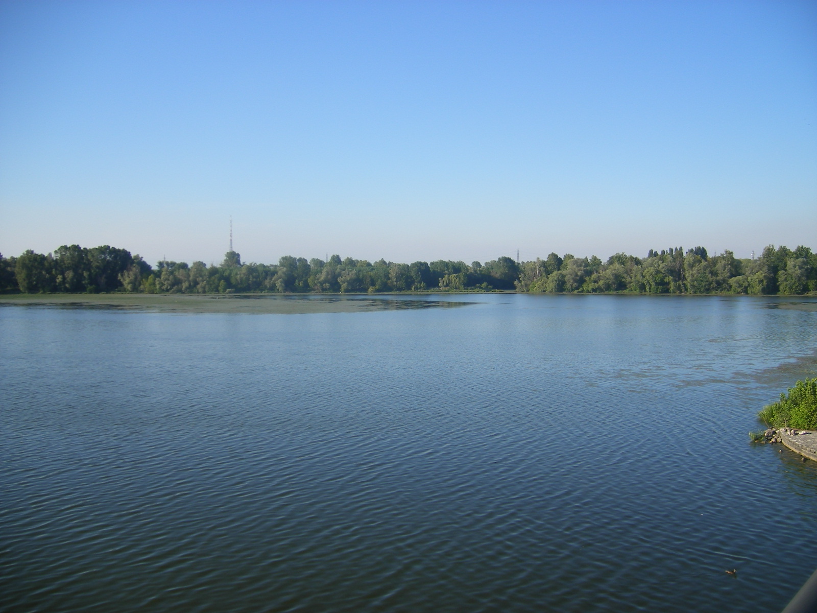
Italy · Terrestrial
Mincio Regional Park
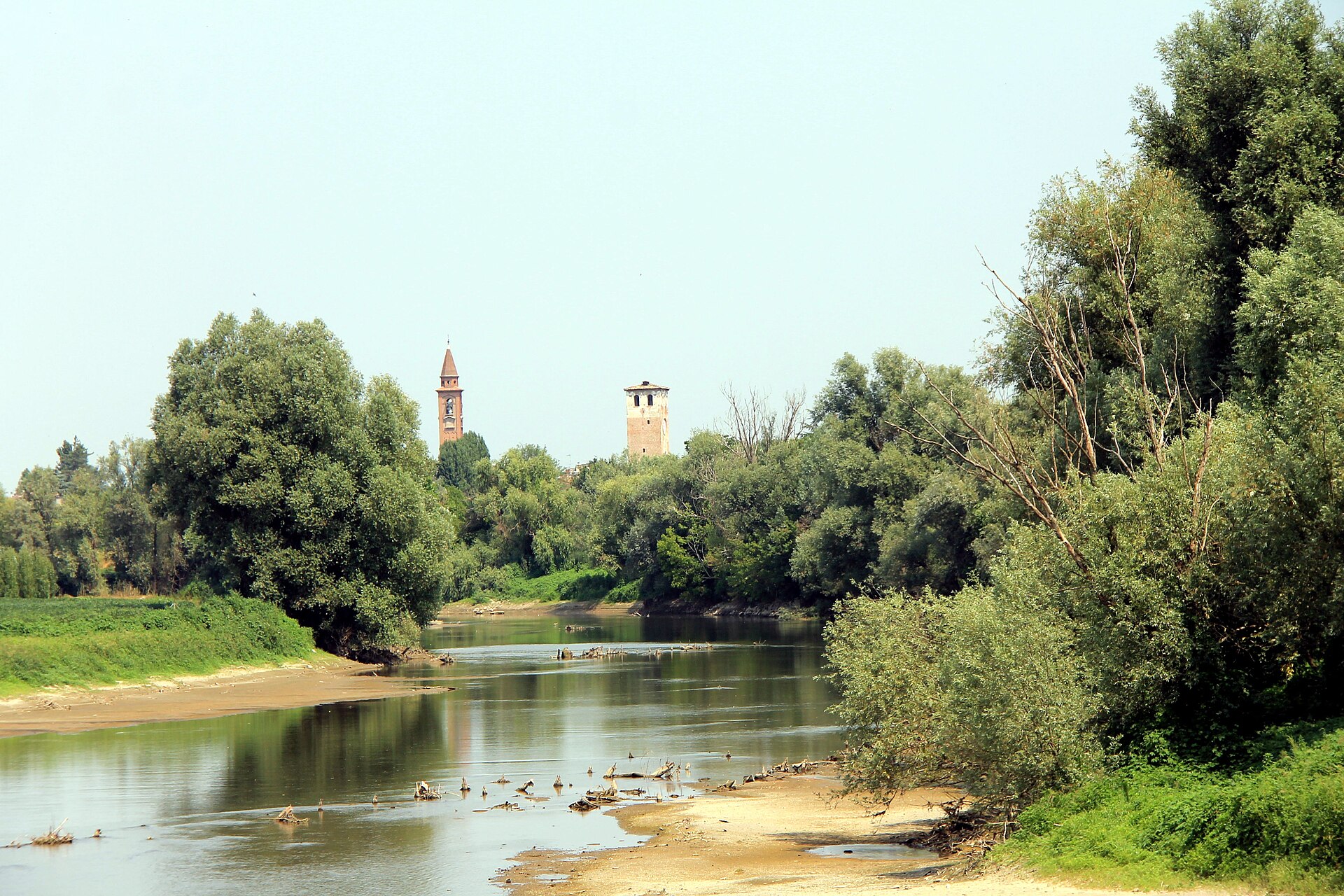
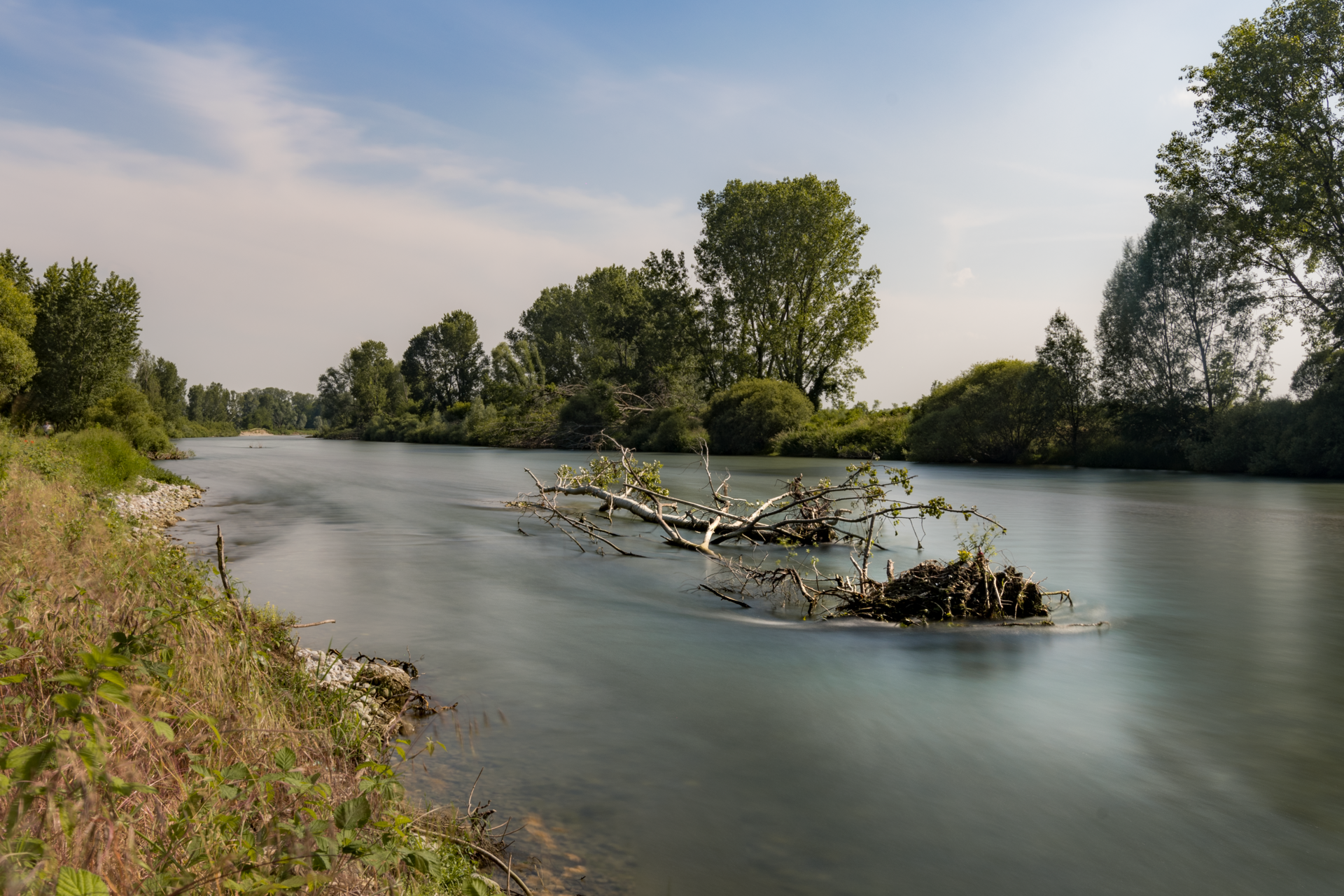
Regional nature park of 15,942 hectares in Italy, established in 1984.
Overview
Regional nature park of 15,942 hectares in Italy, established in 1984.
Mincio Regional Park is a regional nature park in Italy (Europe). It is a predominantly terrestrial area. Established in 1984, it covers about 15,942 hectares.
Protections and designations
Ramsar site
Natura 2000 · habitats (SAC) · 4 sites
- Ansa e Valli del Mincio IT20B0017
- Bosco Fontana IT20B0011
- Chiavica del Moro IT20B0014
- Vallazza IT20B0010
Natura 2000 · birds (SPA) · 3 sites
- Bosco Fontana IT20B0011
- Vallazza IT20B0010
- Valli del Mincio IT20B0009
Protected as a regional nature park. International labels and designations: Ramsar site (“Valli del Mincio”) and Natura 2000 network (5 sites). Key dates: established in 1984 and first Natura 2000 site under the Birds Directive in 1988.
In our collections
Timeline
-
1984
Established
-
1988
First Natura 2000 site under the Birds Directive 3 such sites designated up to 2007
Sources: Wikidata (CC0) for establishment and international labels; EEA Natura 2000 database (CC-BY 4.0) for site designation dates.
Frequently asked questions
Where is Mincio Regional Park?
In Italy (Europe). Representative point: 45.1782° N, 10.7158° E.
How large is Mincio Regional Park?
About 15,942 hectares (159 km²). It is the 32nd largest of the 128 regional parks in Italy covered by Parkavela.
When was Mincio Regional Park established?
In 1984.
What habitats and landscapes does Mincio Regional Park include?
A terrestrial area, where land cover is dominated by farmland (61%).
What rocks lie beneath Mincio Regional Park?
According to the European 1:1 million geological map (EGDI), the bedrock consists mainly of unconsolidated deposits (100% of sampled points). These are mostly sedimentary rocks. The geological units date mainly from the Quaternary (100% of sampled points).
What is the highest point of Mincio Regional Park?
Monte Modena, at 137 m (OpenStreetMap).
What are the main summits of Mincio Regional Park?
Monte Modena (137 m), Monte della Guardia (126 m) and Monte della Maddalena (123 m) (OpenStreetMap).
Which international labels apply to Mincio Regional Park?
Ramsar site (“Valli del Mincio”) and Natura 2000 network (5 sites).
When is the best time to visit Mincio Regional Park?
Best time to visit: from April to October, with average temperatures of 13 to 25 °C and moderate rainfall.
What is there to see in Mincio Regional Park?
4 viewpoints, 9 lakes and ponds and 2 bird hides, including Parcobaleno, Cava baitontona, Veduta Mantova and Gioco dei Pozzoni (Pusun) (OpenStreetMap).
Where can I stay in Mincio Regional Park?
5 campsites, including Area Attrezzata Pozzolo Mincio, Area camper Lunetta and Area camper Sparafucile (OpenStreetMap).
Are there historic monuments in Mincio Regional Park?
Yes. According to Wikidata, 84 monuments protected as Italian national cultural heritage stand within the boundary. For example: “Basilica of Our Lady of Health” in Goito, “Castello di Monzambano” in Monzambano and “Conca del Bertazzolo” in Roncoferraro.
Can you swim in Mincio Regional Park?
2 monitored bathing sites lie in or within 1 km of the site; official 2025 classification: 1 excellent and 1 good (European Environment Agency). Swimming is only permitted at the sites and times authorised locally.
What is the nearest large city to Mincio Regional Park?
Nearest towns of over 50,000 people, as the crow flies: Verona (22 km) and Carpi (32 km). Nearest airport: Verona Villafranca (VRN), about 13 km away.
How can I reach Mincio Regional Park by train?
The nearest railway station is Verona Porta Nuova, about 21 km from the site boundary.
Where can I get visitor information on site?
Centro Visita del Parco Regionale del Mincio, Info point and Pro Loco.
Are there waymarked hiking trails in Mincio Regional Park?
Yes. Waymarked hiking routes listed in OpenStreetMap: 6, including Via Matildica del Volto Santo and CamminaForeste. The “Via Matildica del Volto Santo: Tappa 1” route runs for about 11 km through the site.
Which species can be seen in Mincio Regional Park?
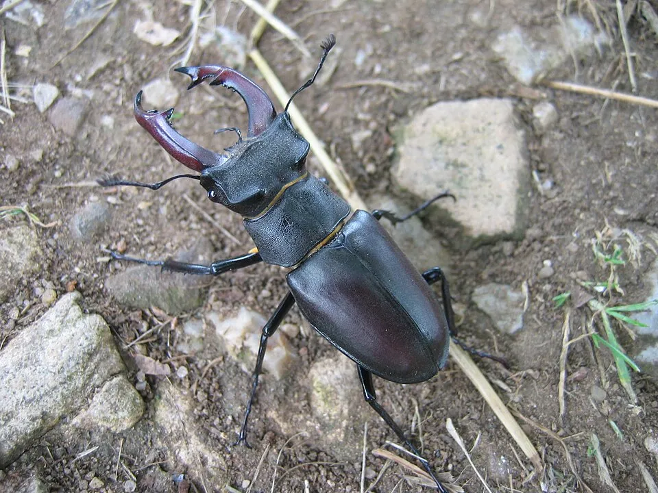
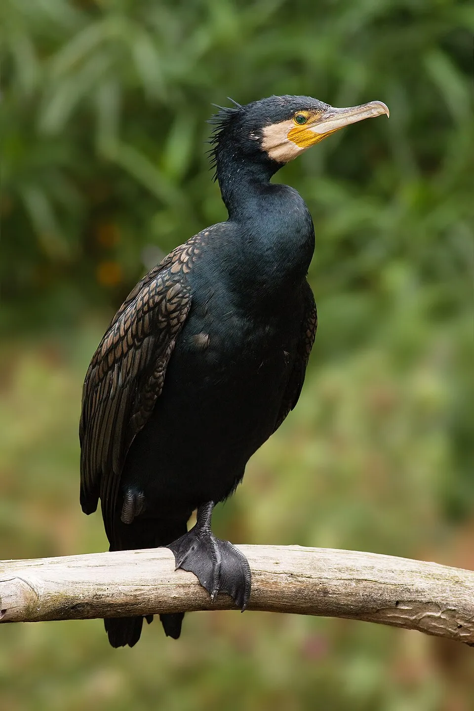
Among the species most often recorded on GBIF are Lucanus cervus (Stag beetle), Phalacrocorax carbo (Great Cormorant), Anas platyrhynchos (Mallard) and Ardea cinerea (Grey Heron).
What is the official website of Mincio Regional Park?
© OpenStreetMap
Download the boundary: GeoJSON · GPX Boundary © OpenStreetMap contributors (ODbL).
Geography
The representative point of the site lies at around 20 m above sea level. Over the 1996–2025 period, the mean annual temperature is about 14.1 °C and total precipitation reaches roughly 997 mm per year. The warmest month is usually July, the coolest January, and the wettest May. According to the European 1:1 million geological map (EGDI), the bedrock consists mainly of unconsolidated deposits (100% of sampled points). These are mostly sedimentary rocks. The geological units date mainly from the Quaternary (100% of sampled points). The site contains 5 lakes larger than 10 ha, totalling 5.7 km² of water (HydroLAKES).
Area
- Area
- 15,942 ha
- Elevation
- 20 m
- Lakes over 10 ha
- 5 (5.7 km²)
- Coordinates
- 45.1782, 10.7158
Lakes: HydroLAKES (Messager et al. 2016, hydrosheds.org, CC BY 4.0) · depths: Wikidata (CC0)
Bedrock
- Unconsolidated deposits 100 %
Sedimentary rocks 100 % · Main age: Quaternary (100%)
Source: EGDI 1:1M geological map (EuroGeoSurveys and national geological surveys), CC BY 4.0 · 14 sampled points within the site.
Main summits
- Monte Modena137 m
- Monte della Guardia126 m
- Monte della Maddalena123 m
Data © OpenStreetMap contributors (ODbL)
Climate
● Mean temperature (°C) · ▮ Precipitation (mm)
Source: Copernicus ERA5-Land (C3S, doi:10.24381/cds.68d2bb30), monthly averages 1996–2025 interpolated to the representative point, temperatures adjusted for elevation.
Contains modified Copernicus Climate Change Service information 2026. Neither the European Commission nor ECMWF is responsible for any use that may be made of the Copernicus information or data it contains.
Natural habitats
According to CORINE Land Cover (2018), the site is mainly made up of farmland (61%), grassland and meadows (18%) and marshes and bogs (7%). Elevation ranges from about 10 m to 137 m (highest point: Monte Modena). The 5 Natura 2000 sites overlapping the area list 8 habitats of European interest (1 priority), the most extensive being Illyrian oak-hornbeam forests (Erythronio-Carpinion), lowland hay meadows (Alopecurus pratensis, Sanguisorba officinalis) and alluvial forests with Alnus glutinosa and Fraxinus excelsior (Alno-Padion, Alnion incanae, Salicion albae).
Biodiversity
Based on occurrences aggregated by GBIF, several species are regularly recorded within the site. Among the most frequent are Lucanus cervus (Stag beetle), Phalacrocorax carbo (Great Cormorant), Anas platyrhynchos (Mallard) and Ardea cinerea (Grey Heron). The full list of documented taxa is shown below. The overlapping Natura 2000 sites list 261 species of European interest: 219 birds, 11 mammals, 6 reptiles, 4 amphibians, 8 fish, 10 invertebrates and 3 plants.
Habitats of European interest
From the official forms of the 5 Natura 2000 sites overlapping the area (areas reported for each whole site).
- Illyrian oak-hornbeam forests (Erythronio-Carpinion) 189 ha
- Lowland hay meadows (Alopecurus pratensis, Sanguisorba officinalis) 130 ha
- Alluvial forests with Alnus glutinosa and Fraxinus excelsior (Alno-Padion, Alnion incanae, Salicion albae) priority 114 ha
- Molinia meadows on calcareous, peaty or clayey-silt-laden soils (Molinion caeruleae) 109 ha
- Natural eutrophic lakes with Magnopotamion or Hydrocharition-type vegetation 87 ha
- Rivers with muddy banks with Chenopodion rubri p.p. and Bidention p.p. vegetation 2 ha
- Oligotrophic to mesotrophic standing waters with vegetation of the Littorelletea uniflorae and/or of the Isoëto-Nanojuncetea 1 ha
- Water courses of plain to montane levels with the Ranunculion fluitantis and Callitricho-Batrachion vegetation 0 ha
Species of European interest
Birds · 219
Eurasian Sparrowhawk (Accipiter nisus) wintering resident breeding passage, Great Reed Warbler (Acrocephalus arundinaceus) breeding passage, Moustached Warbler (Acrocephalus melanopogon) passage wintering, Aquatic warbler (Acrocephalus paludicola) passage, Marsh Warbler (Acrocephalus palustris) breeding passage, Sedge warbler (Acrocephalus schoenobaenus) breeding passage, Eurasian Reed Warbler (Acrocephalus scirpaceus) breeding passage, Common Sandpiper (Actitis hypoleucos) wintering passage, Long-tailed Tit (Aegithalos caudatus) passage breeding wintering resident, Eurasian Skylark (Alauda arvensis) breeding wintering passage resident, Common Kingfisher (Alcedo atthis) resident passage wintering breeding, Northern Pintail (Anas acuta) passage wintering and 207 more
Mammals · 11
Serotine bat (Eptesicus serotinus), Hazel dormouse (Muscardinus avellanarius), Western Polecat (Mustela putorius), Daubenton's bat (Myotis daubentonii), Common noctule (Nyctalus noctula), Kuhl's pipistrelle (Pipistrellus kuhlii), Nathusius's pipistrelle (Pipistrellus nathusii), Common pipistrelle (Pipistrellus pipistrellus), Soprano Pipistrelle (Pipistrellus pygmaeus), Greater Horseshoe Bat (Rhinolophus ferrumequinum), European free-tailed bat (Tadarida teniotis)
Reptiles · 6
Smooth snake (Coronella austriaca), European Pond Turtle (Emys orbicularis), Western Whip Snake (Hierophis viridiflavus), Dice snake (Natrix tessellata), Common wall lizard (Podarcis muralis), Aesculapian Snake (Zamenis longissimus)
Amphibians · 4
Green Toad (Bufotes viridis complex), Agile frog (Rana dalmatina), Italian agile frog (Rana latastei), Italian crested newt (Triturus carnifex)
Fish · 8
Adriatic sturgeon (Acipenser naccarii), Twait shad (Alosa fallax), Italian Barbel (Barbus plebejus), Italian nase (Chondrostoma soetta), Italian Spined Loach (Cobitis bilineata), South European Nase (Protochondrostoma genei), Danube Roach (Rutilus pigus), Italian Riffle Dace (Telestes muticellus)
Invertebrates · 10
Greater Capricorn Beetle (Cerambyx cerdo), Roman Snail (Helix pomatia), Stag beetle (Lucanus cervus), Large copper (Lycaena dispar), Microcondylaea bonellii, Hermit beetle (Osmoderma eremita), Orange-spotted Emerald (Oxygastra curtisii), Unio elongatulus, Narrow-mouthed whorl snail (Vertigo angustior), Southern Festoon (Zerynthia polyxena)
Plants · 3
Fen orchid (Liparis loeselii), Butcher's-broom (Ruscus aculeatus), Summer lady's-tresses (Spiranthes aestivalis)
Source: Natura 2000 standard data forms (EEA, CC-BY 4.0). Not exhaustive: sensitive species are not published.
Species to look out for
Bird
Great Cormorant
Phalacrocorax carbo71 records © JJ Harrison (https://www.jjharrison.com.au/) · CC BY-SA 3.0




Bird
Hooded Crow
Corvus cornix64 records © Ricardo Tulio Gandelman from Rio de Janeiro, Brazil · CC BY 2.0
Observed species
Occurrences documented via GBIF; they are neither an exhaustive inventory nor proof of current presence.
- Stag beetle · Lucanus cervus · 133
- Great Cormorant · Phalacrocorax carbo · 71
- Mallard · Anas platyrhynchos · 69
- Grey Heron · Ardea cinerea · 68
- Mute Swan · Cygnus olor · 65
- Hooded Crow · Corvus cornix · 64
- Common Moorhen · Gallinula chloropus · 59
- Pygmy Cormorant · Microcarbo pygmaeus · 53
- Small pincertail · Onychogomphus forcipatus · 50
- Common Blackbird · Turdus merula · 46
- Greater Celandine · Chelidonium majus · 45
- Eurasian Collared Dove · Streptopelia decaocto · 42
+18 more species
- Rock Dove · Columba livia · 40
- Little Egret · Egretta garzetta · 38
- Barn Swallow · Hirundo rustica · 37
- African Sacred Ibis · Threskiornis aethiopicus · 36
- Common Wood Pigeon · Columba palumbus · 36
- Eurasian Magpie · Pica pica · 36
- Sacred lotus · Nelumbo nucifera · 35
- Common Starling · Sturnus vulgaris · 35
- Black-headed Gull · Chroicocephalus ridibundus · 34
- Great Egret · Ardea alba · 32
- Eurasian Chaffinch · Fringilla coelebs · 31
- Cornelian cherry · Cornus mas · 31
- Butcher's-broom · Ruscus aculeatus · 29
- Balm-leaved Archangel · Lamium orvala · 29
- Common Coot · Fulica atra · 28
- Western Cattle Egret · Bubulcus ibis · 28
- White-legged Damselfly · Platycnemis pennipes · 27
- European robin · Erithacus rubecula · 27
Records: GBIF.org (CC-BY). Names: Wikidata (CC0), GBIF. Photos: Wikimedia Commons.
Conservation challenges
The primary purpose of the site is to preserve its natural habitats and the biodiversity they support. The species recorded (Biodiversity tab) reflect its ecological value. The designations it holds frame its management and the control of land use.
According to Global Forest Change data (University of Maryland, Global Forest Watch), about 59 ha of tree cover were lost within the boundary between 2001 and 2023 (under 1% of its area), peaking in 2016 and 2017. These losses include logging, storms and fires, and do not account for regrowth. According to the European CORINE Land Cover inventory (Copernicus), land cover changed on about 239 ha of the site between 1990 and 2018 (2% of its area). Forest felling and regrowth add about 320 ha in total over the period. At night, 97% of the area gives off artificial light detectable from space (NASA VIIRS Black Marble composite, 2016). Built-up and developed land (buildings, business areas, roads, quarries) covers 6% of the area, and farmland 61% (CORINE Land Cover). According to the Natura 2000 forms, of 7 assessed habitats of European interest, 2 are in excellent condition and 1 in average or reduced condition. According to the Water Framework Directive assessment (2022 river basin management plans, data 2014–2019), none of the 100 km of rivers assessed within the site reaches good ecological potential; they mostly have moderate ecological potential. Other assessed water bodies: lakes, 0 of 3 in good ecological status or better. Since 2000, 26 invasive alien species have been recorded within the site (GBIF observations), 8 of them listed as of Union concern under EU Regulation 1143/2014. Among them: Threskiornis aethiopicus (African Sacred Ibis), Broussonetia papyrifera (Paper mulberry) and Lepomis gibbosus (Pumpkinseed).
Pressure indicators
Tree cover lost
59 ha
2001–2023 · < 1% of the area
20012023
Fires since 2016
0
No large fire mapped (fires over about 30 ha)
Light at night
97%
of the area gives off artificial light visible from space
DarkLit
Built-up land
6%
buildings, business areas, roads, quarries · farmland 61%
Land cover change
239 ha
changed cover, 1990–2018 · CORINE · 2% of the area
forest felling and regrowth: 320 ha in total
Rivers and lakes
0%
of the 100 km of assessed rivers at good or high ecological potential (mostly heavily modified water bodies) · WFD 2022
Lakes: 0 of 3 good or better
assessments 2014–2019
Invasive alien species
26
incl. 8 of EU concern · since 2000
 African Sacred IbisEU
 Paper mulberryEU
 PumpkinseedEU
 CoypuEU
 Egyptian GooseEU
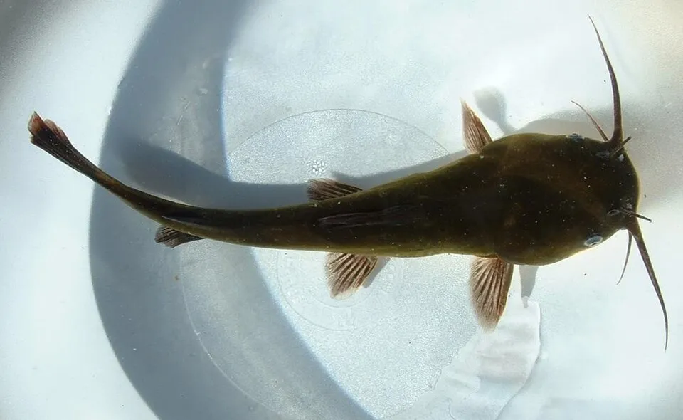 Black bullheadEU
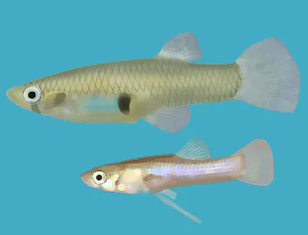 Eastern mosquitofishEU
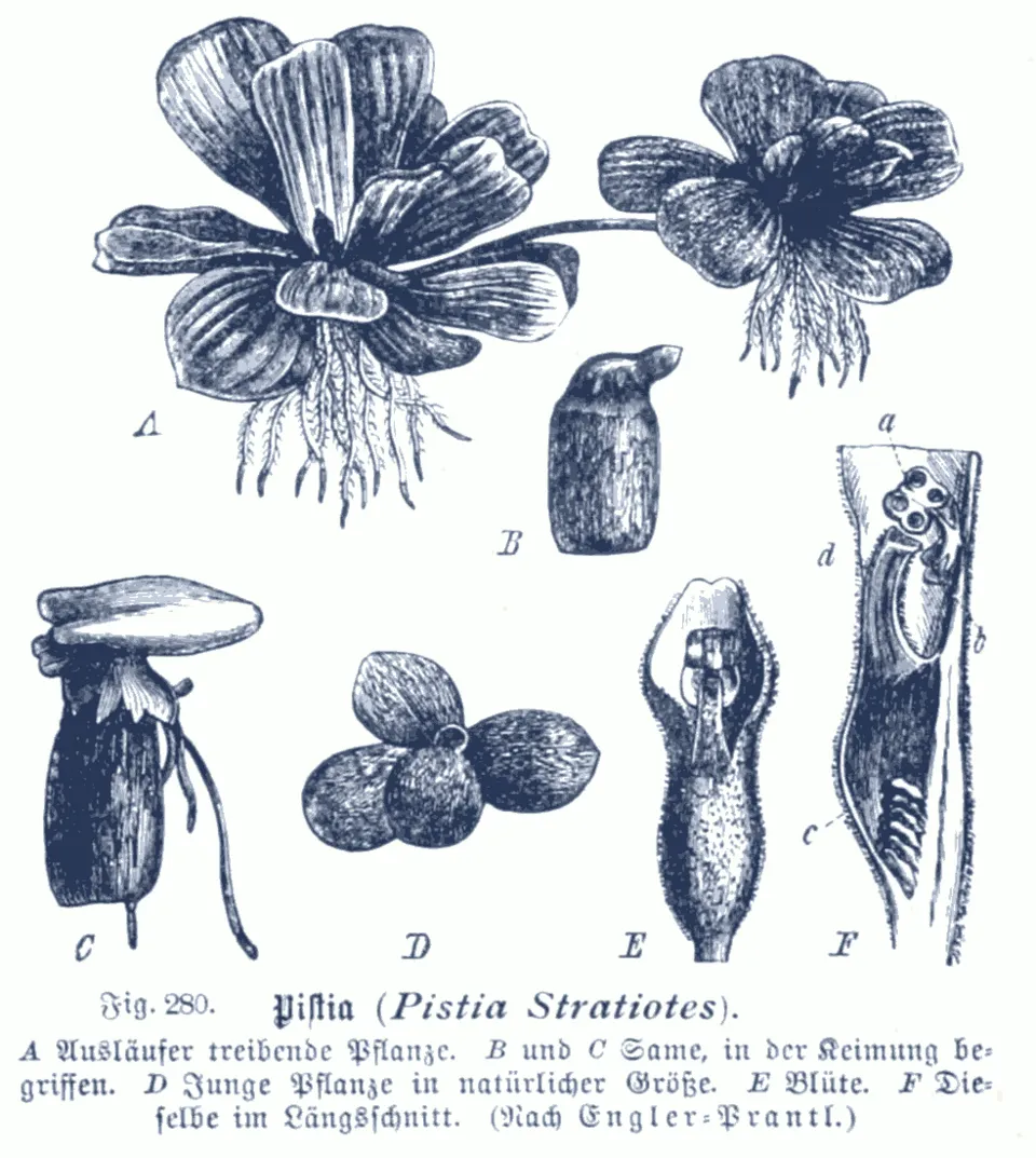 Water LettuceEU
Photos: African Sacred Ibis © Steve Garvie from Dunfermline, Fife, Scotland · CC BY-SA 2.0; Paper mulberry © Didier Descouens · CC BY-SA 4.0; Pumpkinseed © Cephas · CC BY-SA 3.0; Coypu © Philippe Amelant · CC BY-SA 3.0; Egyptian Goose © Rhododendrites · CC BY-SA 4.0; Black bullhead © Jeffdelonge · CC BY-SA 3.0; Eastern mosquitofish © Osado · CC BY-SA 3.0; Water Lettuce © Karl Moritz Schumann / Ernst Friedrich Gilg · Public domain
Sources: Global Forest Change (Hansen et al., University of Maryland, via Global Forest Watch, CC-BY 4.0); EFFIS, European Commission / Copernicus; NASA Black Marble 2016 (public domain); CORINE Land Cover 2018 (Copernicus) or MODIS.
CORINE Land Cover Change 1990–2018: generated using European Union's Copernicus Land Monitoring Service information (EEA), aggregated by Parkavela; DOI 10.2909/f30f1000-7cf8-43bb-872c-5eb093911b24.
Ecological status of water bodies: European Environment Agency, WISE – Water Framework Directive, 3rd river basin management plans (2022), CC BY 4.0. Official national classification, not comparable between countries.
Invasive alien species: Global Register of Introduced and Invasive Species (ISSG, CC BY 4.0); Union list, Regulation (EU) 1143/2014 (INBO, CC0); GBIF.org records (CC0 / CC BY 4.0), at least 2 per species.
Practical information
Cities and airport
- Verona
22 km as the crow flies - Carpi
32 km as the crow flies - Airport: Verona Villafranca (VRN)
13 km as the crow flies
Visitor information
- Centro Visita del Parco Regionale del Mincio
within the site - Info point
< 1 km from the site boundary - Pro Loco
2 km from the site boundary
Things to see
4 viewpoints · 9 lakes and ponds · 2 bird hides
- Parcobaleno
viewpoint - Cava baitontona
lake or pond - Veduta Mantova
viewpoint - Gioco dei Pozzoni (Pusun)
lake or pond - Laghetto Soana Alta
lake or pond
Where to stay
5 campsites
- Area Attrezzata Pozzolo Mincio
campsite - Area camper Lunetta
campsite - Area camper Sparafucile
campsite - Paddock
campsite - San Leone Paradise
campsite
Hiking
6 waymarked routes listed, including:
Via Matildica del Volto SantoCamminaForeste
By bike
EV7 · 33 km AIDA Aida · 3 kmBI-1 Ciclovia del Sole - variazione temporanea · 2 kmMN1 Ciclovia Mantova-Peschiera · 20 kmPCIR 10 PCIR 10 - Via delle Risaie · 4 km
+ 16 local loops
Signed cycle routes: this does not mean that cycling is allowed on footpaths.
Data © OpenStreetMap contributors (ODbL) · Wikidata (CC0)
Contains information from EuroVelo GPX tracks downloaded from www.EuroVelo.com on 2026-10-22, which is made available here under the Open Database License (ODbL). EuroVelo® is a registered trademark of the ECF. Routes © OpenStreetMap contributors (ODbL), via Waymarked Trails
Waymarked hiking routes
Via Matildica del Volto Santo: Tappa 1
10.7 km within the site ↗ 6 m↘ 11 m 13–20 m
Tracks © OpenStreetMap contributors (ODbL), clipped to the boundary; elevation gain and profiles computed on the longest section from Mapzen Terrain Tiles (≈ 30 m), indicative only.
Bathing
2 monitored bathing sites in or within 1 km of the site · 2025 classification
Excellent · 1
Good · 1
- Chiosco Zanzara · lake · Excellent
- Darsena Vela - Canottieri Mincio · lake · Good
Source: European Environment Agency, official bathing water classification (Directive 2006/7/EC, CC-BY 4.0). Swimming is only permitted at the sites and times authorised locally.
Access and visiting
The nearest railway station is Verona Porta Nuova, about 21 km from the site boundary. Nearest towns of over 50,000 people, as the crow flies: Verona (22 km) and Carpi (32 km). Nearest airport: Verona Villafranca (VRN), about 13 km away. About 850,000 people live within 20 km of the site boundary, 310,000 of them within 10 km; some 25,000 people are estimated to live inside (GHSL estimate, 2020). This population has grown by about 16% since 2000. Visitor information on site: Centro Visita del Parco Regionale del Mincio, Info point and Pro Loco. Waymarked hiking routes listed in OpenStreetMap: 6, including Via Matildica del Volto Santo and CamminaForeste. The EuroVelo 7 cycle route (Sun Route) crosses the site for about 33 km, mostly developed and signed; 4 other signed cycle routes also pass through, including “AIDA Aida” and “BI-1 Ciclovia del Sole - variazione temporanea” (EuroVelo, OpenStreetMap). To see: 4 viewpoints, 9 lakes and ponds and 2 bird hides, including Parcobaleno, Cava baitontona, Veduta Mantova and Gioco dei Pozzoni (Pusun). Where to stay: 5 campsites, including Area Attrezzata Pozzolo Mincio, Area camper Lunetta and Area camper Sparafucile. To plan a visit (access, opening periods, visitor rules), it is best to consult the official information from the managing body and the official website listed in this page's sources.
Source: OpenStreetMap (ODbL), Wikidata (CC0), October 2026.
Built heritage
According to Wikidata, 84 monuments protected as Italian national cultural heritage stand within the boundary. Among them are 25 houses and civic buildings, 16 religious buildings and 8 castles and fortifications. Examples include “Basilica of Our Lady of Health” in Goito, “Castello di Monzambano” in Monzambano and “Conca del Bertazzolo” in Roncoferraro.
25 houses and civic buildings16 religious buildings8 castles and fortifications3 bridges, lighthouses, mills and working buildings1 prehistoric or archaeological site
-
Basilica of Our Lady of Health
Goito -
Castello di Monzambano
Monzambano -
Conca del Bertazzolo
Roncoferraro -
Casa dei salariati di Corte Le Quadre
Roncoferraro -
Molini della Volta
Volta Mantovana -
Casa della Comunità (ex)
Monzambano -
Chiesa dei Santi Erasmo e Agostino
Roncoferraro -
Forte Ardietti
Peschiera del Garda · 19th c.
and 76 more
Source: Wikidata (CC0), monuments in each country’s official heritage protection registers, at national or regional level. Each item links to its Wikidata entry.
When to visit
Best time to visit: from April to October, with average temperatures of 13 to 25 °C and moderate rainfall. Day length ranges from about 8 h 46 min in December to 15 h 37 min in June. Wildlife records published on GBIF peak for birds (December and January), plants (May), butterflies and moths (August and September), dragonflies (from June to August) and mammals (from April to June). These peaks also reflect when observers are most active.
Source: Copernicus ERA5-Land (C3S), monthly averages 1996–2025 at the representative point, temperatures adjusted for elevation.
Contains modified Copernicus Climate Change Service information 2026. Neither the European Commission nor ECMWF is responsible for any use that may be made of the Copernicus information or data it contains.
Wildlife records calendar
JFMAMJJASOND
Birds
Plants
Butterflies & moths
Dragonflies
Mammals
Monthly records published on GBIF (CC-BY), relative to the busiest month; also reflects observer activity.
Gallery
© Szeder László · CC BY-SA 4.0
© Gianfranco Manuali · CC BY-SA 4.0
© Giulia Avona · CC BY-SA 4.0
© Pampuco · CC BY-SA 4.0
© Parma1983 · CC BY-SA 4.0
© Parma1983 · CC BY-SA 4.0
Sources and licences
- Wikidata: Q3364637
- OpenStreetMap: relation 9645619
- Official website: http://www.parcodelmincio.it
- Wikipedia: fr.wikipedia.org/wiki/Parc_naturel_régional_du_Mincio
References
- cds.climate.copernicus.eu: climate · CC-BY-4.0
- registry.opendata.aws: elevation of the reference point, detailed relief · PD
- land.copernicus.eu: land cover, land cover change, sea share · COPERNICUS
- doi.org: population around the site · CC-BY-4.0
- wikidata.org: official area, establishment date, protected heritage, official name, nearby cities and airport, access and peaks, lake depths, places to see, official website · CC0-1.0
- eea.europa.eu: bathing water quality, ecological status of waters · CC-BY-4.0
- en.eurovelo.com: EuroVelo cycle routes · ODbL-1.0
- cycling.waymarkedtrails.org: cycle routes · ODbL-1.0
- opentopodata.org: elevations · PD
- forest-fire.emergency.copernicus.eu: wildfires · COPERNICUS
- globalforestwatch.org: tree cover loss · CC-BY-4.0
- gbif.org: seasonality of sightings, invasive alien species, observed species · CC-BY-4.0
- europe-geology.eu: geology · CC-BY-4.0
- hydrosheds.org: lakes · CC-BY-4.0
- natura2000.eea.europa.eu: Natura 2000 habitats and species · CC-BY-4.0
- earthobservatory.nasa.gov: night light · PD
- openstreetmap.org: access and peaks, places to see · ODbL-1.0
- hiking.waymarkedtrails.org: route difficulty · ODbL-1.0
- nsidc.org: snow cover · PD
- wikidata.org: Wikipedia article · CC-BY-SA-4.0
Data © OpenStreetMap contributors (ODbL), Wikidata (CC0) and the sources cited.