Belgium · Terrestrial
Scheldt Valley National Park
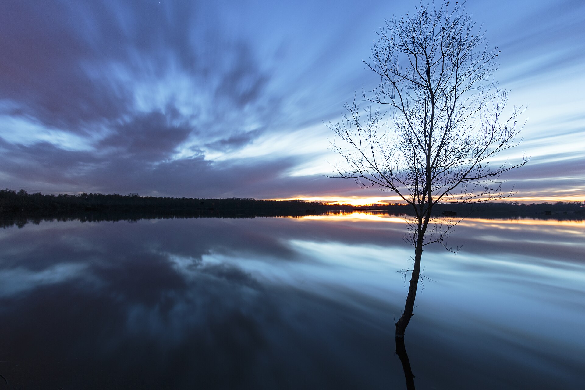
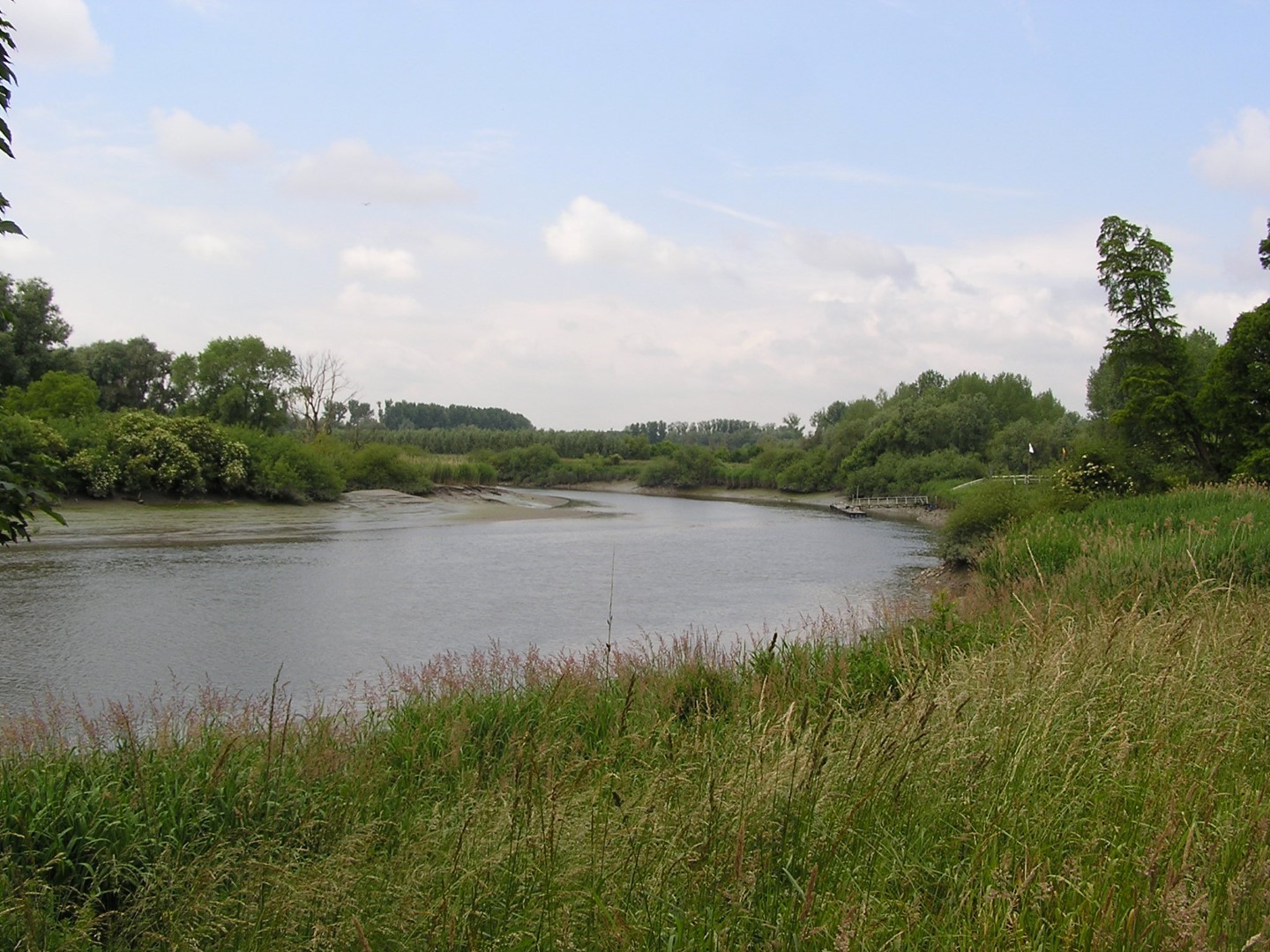
National park of 7,850 hectares in Belgium, established in 2023.
Overview
National park of 7,850 hectares in Belgium, established in 2023.
Scheldt Valley National Park is located in Belgium (Europe). It is a predominantly terrestrial area. Established in 2023, it covers about 7,850 hectares.
Protections and designations
Natura 2000 · habitats (SAC)
Natura 2000 · birds (SPA) · 2 sites
- Durme en Middenloop van de Schelde BE2301235
- Kuifeend en Blokkersdijk BE2300222
Protected as a national park. International labels and designations: Natura 2000 network (3 sites). Key dates: first Natura 2000 site under the Birds Directive in 1988, first Natura 2000 site under the Habitats Directive in 2014 and established in 2023.
In our collections
Timeline
-
1988
First Natura 2000 site under the Birds Directive 2 such sites designated up to 1988
-
2014
First Natura 2000 site under the Habitats Directive
-
2023
Established
Sources: Wikidata (CC0) for establishment and international labels; EEA Natura 2000 database (CC-BY 4.0) for site designation dates.
Frequently asked questions
Where is Scheldt Valley National Park?
In Belgium (Europe). Representative point: 51.0430° N, 4.1874° E.
How large is Scheldt Valley National Park?
About 7,850 hectares (79 km²). It is the 3rd largest of the 5 national parks in Belgium covered by Parkavela.
When was Scheldt Valley National Park established?
In 2023.
What habitats and landscapes does Scheldt Valley National Park include?
A terrestrial area, where land cover is dominated by farmland (42%).
What rocks lie beneath Scheldt Valley National Park?
According to the European 1:1 million geological map (EGDI), the bedrock consists mainly of unconsolidated deposits (100% of sampled points). These are mostly sedimentary rocks. The geological units date mainly from the Quaternary (100% of sampled points).
Which international labels apply to Scheldt Valley National Park?
Natura 2000 network (3 sites).
When is the best time to visit Scheldt Valley National Park?
Best time to visit: from April to October, with average temperatures of 10 to 19 °C and moderate rainfall.
What is there to see in Scheldt Valley National Park?
2 lakes and ponds, including Damvallei and Lac de Donk (Wikidata).
Are there historic monuments in Scheldt Valley National Park?
Yes. According to Wikidata, 7 monuments listed as protected heritage in Wallonia or Flanders stand within the boundary. For example: “Nieuwenbosch Abbey” in Destelbergen, “Fort van Steendorp” in Tamise and “Tomb of Emile Verhaeren and Marthe Verhaeren” in Puers-Saint-Amand.
Can you swim in Scheldt Valley National Park?
3 monitored bathing sites lie in or within 1 km of the site; official 2025 classification: 3 excellent (European Environment Agency). Swimming is only permitted at the sites and times authorised locally.
What is the nearest large city to Scheldt Valley National Park?
Nearest towns of over 50,000 people, as the crow flies: Antwerp (2 km) and Ghent (3 km). Nearest airport: Antwerp (ANR), about 7 km away.
How can I reach Scheldt Valley National Park by train?
Boom railway station lies within the site.
Where can I get visitor information on site?
Onthaalcentrum Het Broek, Onthaalpoort Donkmeer and Toerisme Rupelstreek.
Are there waymarked hiking trails in Scheldt Valley National Park?
Yes. Waymarked hiking routes listed in OpenStreetMap: 17, including GR 122 (161 km), GR 126, GR 128 (474 km) and GR 5. The GR 128 Vlaanderenroute (hoofdtraject) route runs for about 22 km through the site.
Which species can be seen in Scheldt Valley National Park?
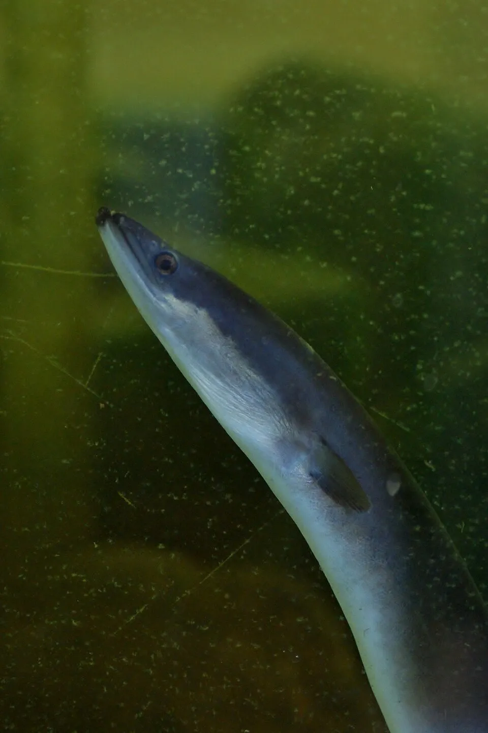
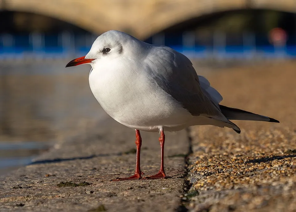
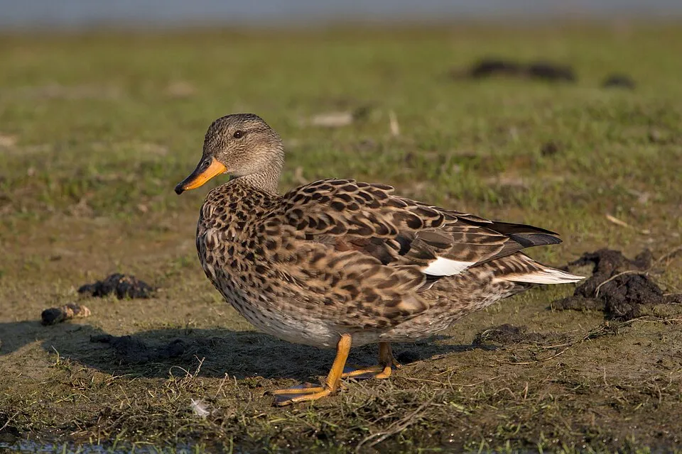
Among the species most often recorded on GBIF are Anguilla anguilla (European eel), Anas platyrhynchos (Mallard), Chroicocephalus ridibundus (Black-headed Gull) and Mareca strepera (Gadwall).
What is the official website of Scheldt Valley National Park?
© OpenStreetMap
Download the boundary: GeoJSON · GPX Boundary © OpenStreetMap contributors (ODbL).
Geography
The representative point of the site lies at around 3 m above sea level. Over the 1996–2025 period, the mean annual temperature is about 11.2 °C and total precipitation reaches roughly 792 mm per year. The warmest month is usually July, the coolest January, and the wettest August. According to the European 1:1 million geological map (EGDI), the bedrock consists mainly of unconsolidated deposits (100% of sampled points). These are mostly sedimentary rocks. The geological units date mainly from the Quaternary (100% of sampled points). The site contains 4 lakes larger than 10 ha, totalling 90 ha of water (HydroLAKES).
Area
- Area of the boundary
- 7,850 ha
- Elevation
- 3 m
- Lakes over 10 ha
- 4 (90 ha)
- Coordinates
- 51.043, 4.1874
Lakes: HydroLAKES (Messager et al. 2016, hydrosheds.org, CC BY 4.0) · depths: Wikidata (CC0)
Bedrock
- Unconsolidated deposits 100 %
Sedimentary rocks 100 % · Main age: Quaternary (100%)
Source: EGDI 1:1M geological map (EuroGeoSurveys and national geological surveys), CC BY 4.0 · 4 sampled points within the site.
Climate
● Mean temperature (°C) · ▮ Precipitation (mm)
Source: Copernicus ERA5-Land (C3S, doi:10.24381/cds.68d2bb30), monthly averages 1996–2025 interpolated to the representative point, temperatures adjusted for elevation.
Contains modified Copernicus Climate Change Service information 2026. Neither the European Commission nor ECMWF is responsible for any use that may be made of the Copernicus information or data it contains.
Natural habitats
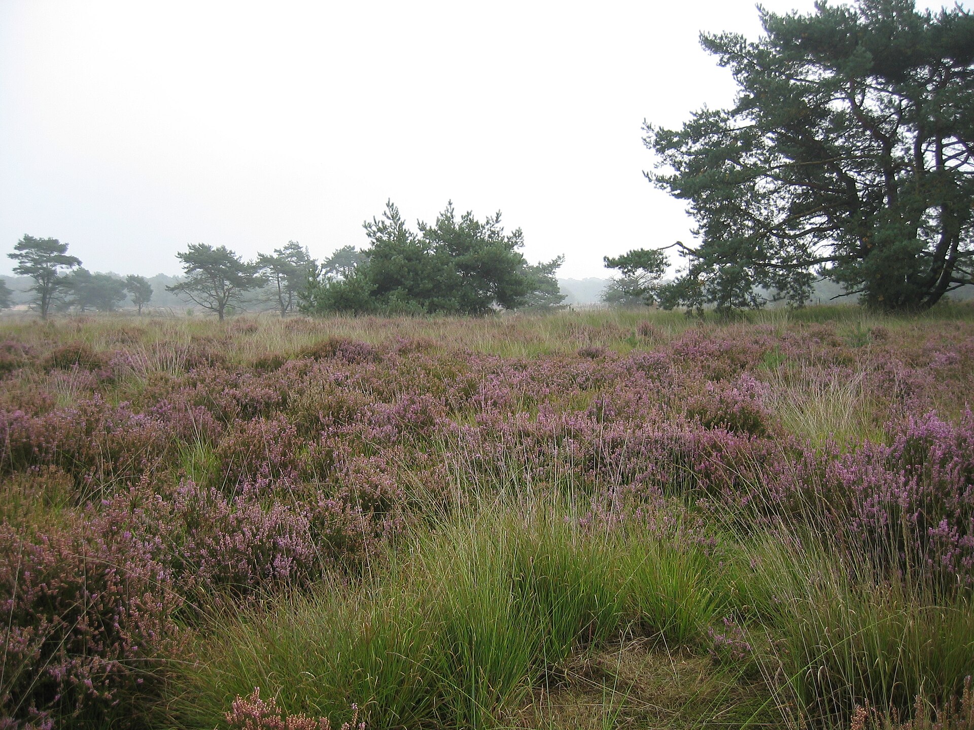
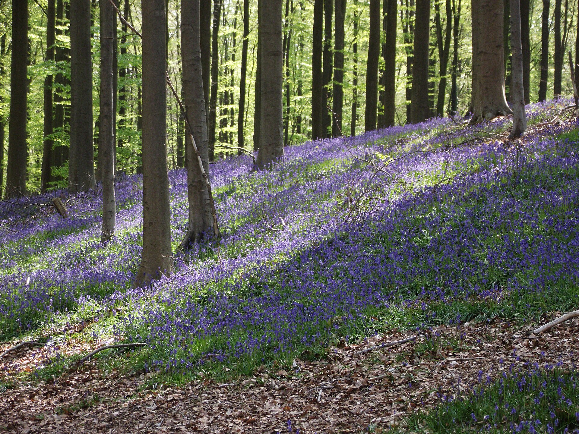
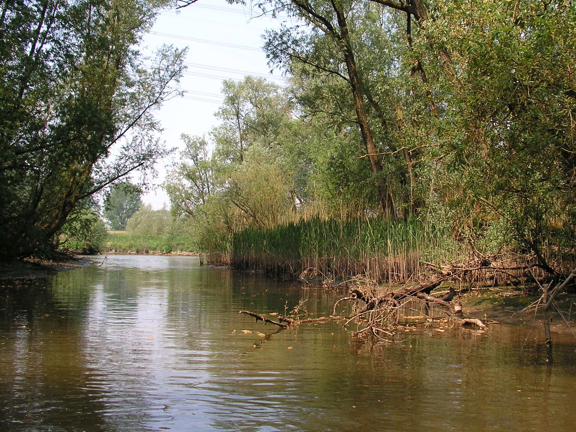
According to CORINE Land Cover (2018), the site is mainly made up of farmland (42%), built-up or developed land (23%) and forests (13%). The land is almost flat (mean slope under 2°). The 3 Natura 2000 sites overlapping the area list 18 habitats of European interest (2 priority), the most extensive being estuaries, alluvial forests with Alnus glutinosa and Fraxinus excelsior (Alno-Padion, Alnion incanae, Salicion albae) and Atlantic salt meadows (Glauco-Puccinellietalia maritimae).
Biodiversity
Based on occurrences aggregated by GBIF, several species are regularly recorded within the site. Among the most frequent are Anguilla anguilla (European eel), Anas platyrhynchos (Mallard), Chroicocephalus ridibundus (Black-headed Gull) and Mareca strepera (Gadwall). The full list of documented taxa is shown below. The overlapping Natura 2000 sites list 29 species of European interest: 13 birds, 10 mammals, 1 amphibian, 4 fish and 1 invertebrate.
Habitats of European interest
From the official forms of the 3 Natura 2000 sites overlapping the area (areas reported for each whole site).
- Estuaries 4,156 ha
- Alluvial forests with Alnus glutinosa and Fraxinus excelsior (Alno-Padion, Alnion incanae, Salicion albae) priority 350 ha
- Atlantic salt meadows (Glauco-Puccinellietalia maritimae) 49 ha
- Hard oligo-mesotrophic waters with benthic vegetation of Chara spp. 27 ha
- Hydrophilous tall herb fringe communities of plains and of the montane to alpine levels 23 ha
- Lowland hay meadows (Alopecurus pratensis, Sanguisorba officinalis) 22 ha
- Atlantic acidophilous beech forests with Ilex and sometimes also Taxus in the shrublayer (Quercion robori-petraeae or Ilici-Fagenion) 22 ha
- Inland dunes with open Corynephorus and Agrostis grasslands 5 ha
and 10 more
Species of European interest
Birds · 13
Common Kingfisher (Alcedo atthis) breeding, Northern Pintail (Anas acuta) wintering, Northern Shoveler (Anas clypeata) wintering, Gadwall (Anas strepera) wintering, Eurasian Bittern (Botaurus stellaris) breeding, Western Marsh Harrier (Circus aeruginosus) breeding, Bewick's Swan (Cygnus columbianus bewickii) wintering, Little Egret (Egretta garzetta) breeding, Black-headed gull (Larus ridibundus) wintering, Bluethroat (Luscinia svecica) breeding, White-spotted Bluethroat (Luscinia svecica cyanecula) breeding, Spotted Crake (Porzana porzana) breeding and 1 more
Mammals · 10
Eurasian Beaver (Castor fiber), Serotine bat (Eptesicus serotinus), Pond bat (Myotis dasycneme), Daubenton's bat (Myotis daubentonii), Whiskered bat (Myotis mystacinus), Natterer's bat (Myotis nattereri), Common noctule (Nyctalus noctula), Nathusius's pipistrelle (Pipistrellus nathusii), Common pipistrelle (Pipistrellus pipistrellus), Brown long-eared bat (Plecotus auritus)
Amphibians · 1
Fish · 4
Twait shad (Alosa fallax), Spined loach (Cobitis taenia), European river lamprey (Lampetra fluviatilis), Rhodeus sericeus amarus
Invertebrates · 1
Source: Natura 2000 standard data forms (EEA, CC-BY 4.0). Not exhaustive: sensitive species are not published.
Species to look out for


Observed species
Occurrences documented via GBIF; they are neither an exhaustive inventory nor proof of current presence.
- European eel · Anguilla anguilla · 65594
- Mallard · Anas platyrhynchos · 36665
- Black-headed Gull · Chroicocephalus ridibundus · 26543
- Gadwall · Mareca strepera · 22910
- Grey Heron · Ardea cinerea · 22313
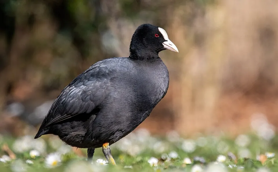
- Common Coot · Fulica atra · 20974
- Carrion crow · Corvus corone · 20484
- Great Cormorant · Phalacrocorax carbo · 19678
- Common Moorhen · Gallinula chloropus · 19373
- Common Wood Pigeon · Columba palumbus · 19220
- Eurasian Magpie · Pica pica · 18223
- Common Chiffchaff · Phylloscopus collybita · 17650
+18 more species
- Common Blackbird · Turdus merula · 17370
- Eurasian Teal · Anas crecca · 17208
- Eurasian Spoonbill · Platalea leucorodia · 16811
- European smelt · Osmerus eperlanus · 16585
- Common Shelduck · Tadorna tadorna · 16490
- Western Jackdaw · Coloeus monedula · 16234
- Eurasian Wren · Troglodytes troglodytes · 15055
- European Herring Gull · Larus argentatus · 14373
- Great tit · Parus major · 13739
- Eurasian Collared Dove · Streptopelia decaocto · 13555
- Common Buzzard · Buteo buteo · 13513
- European robin · Erithacus rubecula · 13006
- Tufted Duck · Aythya fuligula · 12721
- Northern Lapwing · Vanellus vanellus · 12526
- Eurasian blue tit · Cyanistes caeruleus · 11943
- Lesser Black-backed Gull · Larus fuscus · 11794
- Eurasian Chaffinch · Fringilla coelebs · 11750
- European flounder · Platichthys flesus · 11639
Records: GBIF.org (CC-BY). Names: Wikidata (CC0), GBIF. Photos: Wikimedia Commons.
Conservation challenges
The primary purpose of the site is to preserve its natural habitats and the biodiversity they support. The species recorded (Biodiversity tab) reflect its ecological value. The designations it holds frame its management and the control of land use.
According to Global Forest Change data (University of Maryland, Global Forest Watch), about 249 ha of tree cover were lost within the boundary between 2001 and 2023 (3% of its area), peaking in 2019 and 2021. These losses include logging, storms and fires, and do not account for regrowth. At night, 100% of the area gives off artificial light detectable from space (NASA VIIRS Black Marble composite, 2016). Built-up and developed land (buildings, business areas, roads, quarries) covers 23% of the area, and farmland 42% (CORINE Land Cover). According to the Natura 2000 forms, of 18 assessed habitats of European interest, 1 is in excellent condition and 3 in average or reduced condition. According to the Water Framework Directive assessment (2022 river basin management plans, data 2013–2018), none of the 48 km of rivers assessed within the site reaches good ecological potential; they mostly have bad ecological potential. Other assessed water bodies: lakes, 0 of 2 in good ecological status or better; lagoons and estuaries, 0 of 1 in good ecological status or better. Since 2000, 98 invasive alien species have been recorded within the site (GBIF observations), 25 of them listed as of Union concern under EU Regulation 1143/2014. Among them: Eriocheir sinensis (Chinese mitten crab), Alopochen aegyptiaca (Egyptian Goose) and Pseudorasbora parva (Topmouth gudgeon).
Pressure indicators
Tree cover lost
249 ha
2001–2023
20012023
Fires since 2016
0
No large fire mapped (fires over about 30 ha)
Light at night
100%
of the area gives off artificial light visible from space
DarkLit
Built-up land
23%
buildings, business areas, roads, quarries · farmland 42%
Rivers and lakes
0%
of the 48 km of assessed rivers at good or high ecological potential (mostly heavily modified water bodies) · WFD 2022
Lakes: 0 of 2 good or better
Lagoons and estuaries: 0 of 1 good or better
assessments 2013–2018
Invasive alien species
98
incl. 25 of EU concern · since 2000
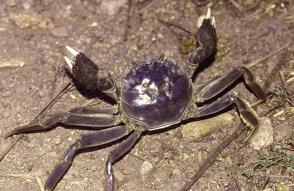 Chinese mitten crabEU
 Egyptian GooseEU
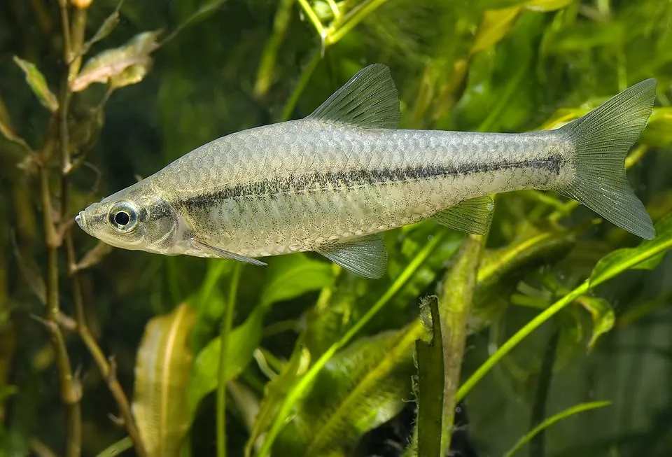 Topmouth gudgeonEU
 Japanese KnotweedEU
 PumpkinseedEU
 Himalayan BalsamEU
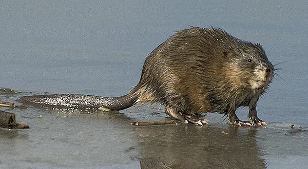 MuskratEU
 Giant HogweedEU
Photos: Chinese mitten crab © Christian Fischer · CC BY-SA 3.0; Egyptian Goose © Rhododendrites · CC BY-SA 4.0; Topmouth gudgeon © Seotaro, edited by Lycaon · CC BY-SA 3.0; Japanese Knotweed © W.carter · CC0-1.0; Pumpkinseed © Cephas · CC BY-SA 3.0; Himalayan Balsam © Guptaele · CC BY-SA 4.0; Muskrat © David Menke · Public domain; Giant Hogweed © anastasiiamerkulova · CC BY 4.0
Sources: Global Forest Change (Hansen et al., University of Maryland, via Global Forest Watch, CC-BY 4.0); EFFIS, European Commission / Copernicus; NASA Black Marble 2016 (public domain); CORINE Land Cover 2018 (Copernicus) or MODIS.
Ecological status of water bodies: European Environment Agency, WISE – Water Framework Directive, 3rd river basin management plans (2022), CC BY 4.0. Official national classification, not comparable between countries.
Invasive alien species: Global Register of Introduced and Invasive Species (ISSG, CC BY 4.0); Union list, Regulation (EU) 1143/2014 (INBO, CC0); GBIF.org records (CC0 / CC BY 4.0), at least 2 per species.
Practical information
Cities and airport
- Antwerp
2 km as the crow flies - Ghent
3 km as the crow flies - Airport: Antwerp (ANR)
7 km as the crow flies
Visitor information
- Onthaalcentrum Het Broek
within the site - Onthaalpoort Donkmeer
< 1 km from the site boundary - Toerisme Rupelstreek
< 1 km from the site boundary - Toerisme Dendermonde
< 1 km from the site boundary
Parking
34 public car parks listed within the site
BlokkersdijkScheppersinstituutBergenmeers - parking 3Donkmeer
Hiking
17 waymarked routes listed, including:
GR 122 (161 km)GR 126GR 128 (474 km)GR 5Via TeneraMartinusroute
By bike
Kunst Kunststedenroute · 44 kmSchelderoute · 43 kmVL Vlaanderenroute · 43 km
+ 4 local loops
Signed cycle routes: this does not mean that cycling is allowed on footpaths.
Data © OpenStreetMap contributors (ODbL) · Wikidata (CC0)
Routes © OpenStreetMap contributors (ODbL), via Waymarked Trails
Waymarked hiking routes
GR 128 GR 128 Vlaanderenroute (hoofdtraject)
22 km within the site ↗ 0 m↘ 0 m 1–5 m
Tracks © OpenStreetMap contributors (ODbL), clipped to the boundary; elevation gain and profiles computed on the longest section from Mapzen Terrain Tiles (≈ 30 m), indicative only.
Bathing
3 monitored bathing sites in or within 1 km of the site · 2025 classification
Excellent · 3
- Antwerpen Galgenweel · lake · Excellent
- Berlare Nieuwdonk · lake · Excellent
- Willebroek Hazewinkel · lake · Excellent
Source: European Environment Agency, official bathing water classification (Directive 2006/7/EC, CC-BY 4.0). Swimming is only permitted at the sites and times authorised locally.
Access and visiting
Boom railway station lies within the site. Nearest towns of over 50,000 people, as the crow flies: Antwerp (2 km) and Ghent (3 km). Nearest airport: Antwerp (ANR), about 7 km away. About 3.2 million people live within 20 km of the site boundary, 2 million of them within 10 km; some 36,000 people are estimated to live inside (GHSL estimate, 2020). This population has grown by about 13% since 2000. Visitor information on site: Onthaalcentrum Het Broek, Onthaalpoort Donkmeer and Toerisme Rupelstreek. Public car parks listed within the site: 34, including Blokkersdijk, Scheppersinstituut and Bergenmeers - parking 3. Waymarked hiking routes listed in OpenStreetMap: 17, including GR 122 (161 km), GR 126, GR 128 (474 km) and GR 5. The site is crossed by 3 signed cycle routes, including “Kunst Kunststedenroute” and “Schelderoute” (OpenStreetMap). To see: 2 lakes and ponds, including Damvallei and Lac de Donk. To plan a visit (access, opening periods, visitor rules), it is best to consult the official information from the managing body and the official website listed in this page's sources.
Source: OpenStreetMap (ODbL), Wikidata (CC0), October 2026.
Built heritage
According to Wikidata, 7 monuments listed as protected heritage in Wallonia or Flanders stand within the boundary. Among them are 3 castles and fortifications, 1 religious building and 1 house or civic building. Examples include “Nieuwenbosch Abbey” in Destelbergen, “Fort van Steendorp” in Tamise and “Tomb of Emile Verhaeren and Marthe Verhaeren” in Puers-Saint-Amand.
3 castles and fortifications1 religious building1 house or civic building
-
Nieuwenbosch Abbey
Destelbergen · 13th c. -
Fort van Steendorp
Tamise -
Tomb of Emile Verhaeren and Marthe Verhaeren
Puers-Saint-Amand -
De Notelaer
18th c. -
Kasteel van Uitbergen
Berlare -
Donkmeer
Berlare -
Mirabrug
Hamme
Source: Wikidata (CC0), monuments in each country’s official heritage protection registers, at national or regional level. Each item links to its Wikidata entry.
When to visit
Best time to visit: from April to October, with average temperatures of 10 to 19 °C and moderate rainfall. Day length ranges from about 7 h 56 min in December to 16 h 31 min in June. Wildlife records published on GBIF peak for birds (from March to May), plants (from May to August), butterflies and moths (July and August), dragonflies (from May to July) and mammals (February). These peaks also reflect when observers are most active.
Source: Copernicus ERA5-Land (C3S), monthly averages 1996–2025 at the representative point, temperatures adjusted for elevation.
Contains modified Copernicus Climate Change Service information 2026. Neither the European Commission nor ECMWF is responsible for any use that may be made of the Copernicus information or data it contains.
Wildlife records calendar
JFMAMJJASOND
Birds
Plants
Butterflies & moths
Dragonflies
Mammals
Monthly records published on GBIF (CC-BY), relative to the busiest month; also reflects observer activity.
Gallery
© De Haan, Aukje · CC BY 4.0
© DimiTalen · CC0-1.0
© Luc.T from Buggenhout, België · CC BY 2.0
© LucT · CC BY-SA 3.0
© LucT · CC BY-SA 3.0
© Luc.T from Buggenhout, België · CC BY 2.0
Sources and licences
- Wikidata: Q123035226
- OpenStreetMap: relation 16657368
- Official website: https://www.rivierparkscheldevallei.be/
- Wikipedia: fr.wikipedia.org/wiki/Parc_national_de_la_vallée_de_l'Escaut
References
- cds.climate.copernicus.eu: climate · CC-BY-4.0
- registry.opendata.aws: elevation of the reference point, detailed relief · PD
- land.copernicus.eu: land cover, sea share · COPERNICUS
- doi.org: population around the site · CC-BY-4.0
- openstreetmap.org: official name, access and peaks · ODbL-1.0
- eea.europa.eu: bathing water quality, ecological status of waters · CC-BY-4.0
- en.eurovelo.com: EuroVelo cycle routes · ODbL-1.0
- cycling.waymarkedtrails.org: cycle routes · ODbL-1.0
- opentopodata.org: elevations · PD
- wikidata.org: establishment date, protected heritage, nearby cities and airport, access and peaks, lake depths, places to see, official website · CC0-1.0
- forest-fire.emergency.copernicus.eu: wildfires · COPERNICUS
- globalforestwatch.org: tree cover loss · CC-BY-4.0
- gbif.org: seasonality of sightings, invasive alien species, observed species · CC-BY-4.0
- europe-geology.eu: geology · CC-BY-4.0
- hydrosheds.org: lakes · CC-BY-4.0
- natura2000.eea.europa.eu: Natura 2000 habitats and species · CC-BY-4.0
- earthobservatory.nasa.gov: night light · PD
- hiking.waymarkedtrails.org: route difficulty · ODbL-1.0
- nsidc.org: snow cover · PD
- wikidata.org: Wikipedia article · CC-BY-SA-4.0
Data © OpenStreetMap contributors (ODbL), Wikidata (CC0) and the sources cited.