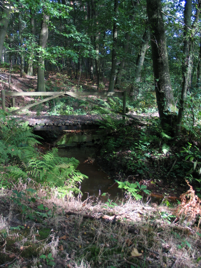
Netherlands · Marine
Oosterschelde National Park
National park of 37,000 hectares in the Netherlands, established in 2002.
Overview
National park of 37,000 hectares in the Netherlands, established in 2002.
Oosterschelde National Park is located in the Netherlands (Europe). It is a predominantly marine area. Established on 8 May 2002, it covers about 37,000 hectares.
Protections and designations
Ramsar site
Natura 2000 · habitats (SAC)
- Oosterschelde NL3009016
Natura 2000 · birds (SPA)
- Oosterschelde NL3009016
Protected as a national park. International labels and designations: Ramsar site (“Oosterschelde”) and Natura 2000 network (1 site: “Oosterschelde”). Key dates: first Natura 2000 site under the Birds Directive in 1989, established in 2002 and first Natura 2000 site under the Habitats Directive in 2010.
In our collections
Timeline
-
1989
First Natura 2000 site under the Birds Directive
-
2002
Established
-
2010
First Natura 2000 site under the Habitats Directive
Sources: Wikidata (CC0) for establishment and international labels; EEA Natura 2000 database (CC-BY 4.0) for site designation dates.
Frequently asked questions
Where is Oosterschelde National Park?
In the Netherlands (Europe). Representative point: 51.5719° N, 3.9453° E.
How large is Oosterschelde National Park?
About 37,000 hectares (370 km²). It is the 3rd largest of the 26 national parks in the Netherlands covered by Parkavela. About 32,200 ha are at sea.
When was Oosterschelde National Park established?
On 8 May 2002.
What habitats and landscapes does Oosterschelde National Park include?
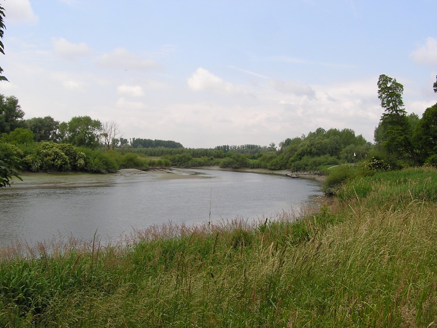
A marine area, with wetlands and coasts.
Which international labels apply to Oosterschelde National Park?
Ramsar site (“Oosterschelde”) and Natura 2000 network (1 site: “Oosterschelde”).
When is the best time to visit Oosterschelde National Park?
Best time to visit: from May to October, with average temperatures of 12 to 19 °C and moderate rainfall.
What is there to see in Oosterschelde National Park?
Pluimpot (lake or pond) (Wikidata).
Are there historic monuments in Oosterschelde National Park?
Yes. According to Wikidata, 6 monuments listed in the Dutch national register of monuments (Rijksmonumentenregister) stand within the boundary. For example: “Plompe Toren” in Schouwen-Duiveland, “Terrein waarin een vluchtberg/kasteelberg” in Schouwen-Duiveland and “Zeeland Bridge” in Zierikzee.
Can you swim in Oosterschelde National Park?
18 monitored bathing sites lie in or within 1 km of the site; official 2025 classification: 18 excellent (European Environment Agency). Swimming is only permitted at the sites and times authorised locally.
What is the nearest large city to Oosterschelde National Park?
Nearest towns of over 50,000 people, as the crow flies: Bergen op Zoom (6 km) and Roosendaal (17 km). Nearest airport: Rotterdam The Hague (RTM), about 36 km away.
How can I reach Oosterschelde National Park by train?
The nearest railway station is Krabbendijke, less than 1 km from the site boundary.
Where can I get visitor information on site?
Receptie Oesterbaai, Reception and Tourist Information Yerseke.
Which species can be seen in Oosterschelde National Park?
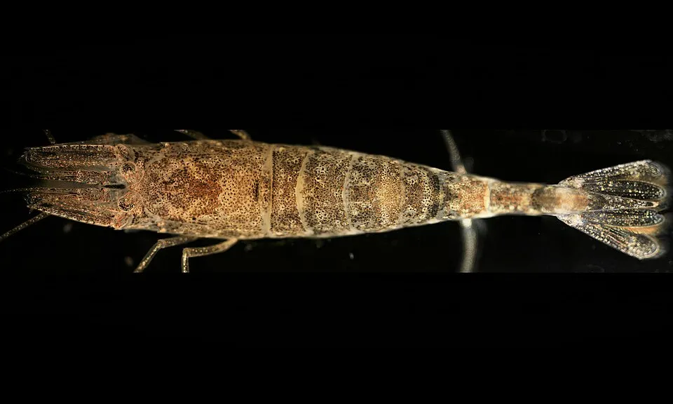
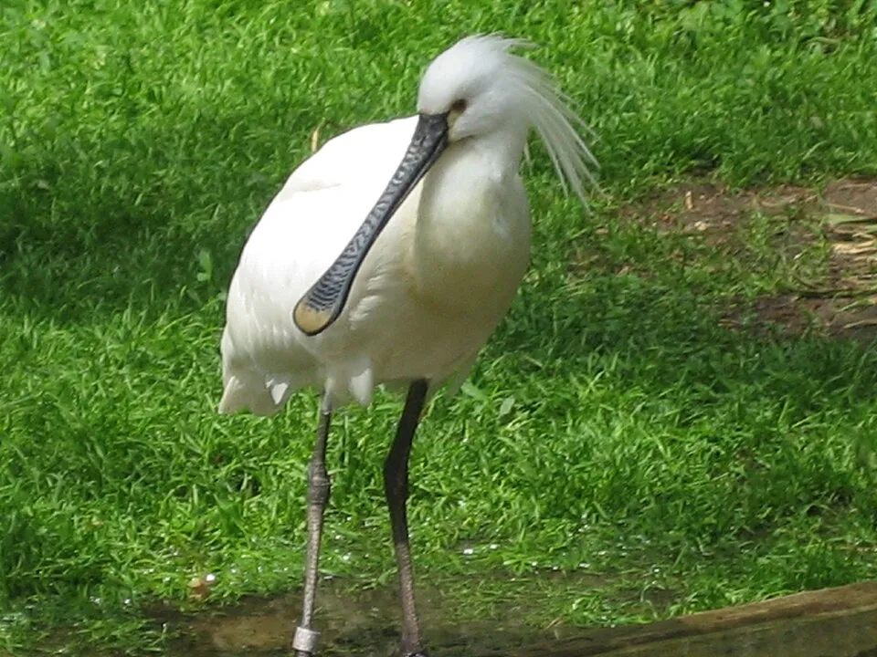
Among the species most often recorded on GBIF are Larus fuscus (Lesser Black-backed Gull), Larus argentatus (European Herring Gull), Crangon crangon (Common shrimp) and Platalea leucorodia (Eurasian Spoonbill).
What is the official website of Oosterschelde National Park?
© OpenStreetMap
Download the boundary: GeoJSON · GPX Boundary © OpenStreetMap contributors (ODbL).
Geography
Over the 1996–2025 period, the mean annual temperature is about 11.1 °C and total precipitation reaches roughly 805 mm per year. The warmest month is usually August, the coolest January, and the wettest August.
Area
- Area
- 37,000 ha
- Coordinates
- 51.5719, 3.9453
Climate
● Mean temperature (°C) · ▮ Precipitation (mm)
Source: Copernicus ERA5-Land (C3S, doi:10.24381/cds.68d2bb30), monthly averages 1996–2025 interpolated to the representative point, temperatures adjusted for elevation.
Contains modified Copernicus Climate Change Service information 2026. Neither the European Commission nor ECMWF is responsible for any use that may be made of the Copernicus information or data it contains.
Natural habitats
According to CORINE Land Cover (2018), the land area is mainly made up of farmland (45%), marshes and bogs (17%) and built-up or developed land (13%). The sea covers about 87% of the site. The seabed reaches about 10 m deep (median depth 3 m; GEBCO bathymetry). The Natura 2000 site overlapping the area lists 6 habitats of European interest (1 priority), the most extensive being large shallow inlets and bays, Atlantic salt meadows (Glauco-Puccinellietalia maritimae) and Spartina swards (Spartinion maritimae).
Biodiversity
Based on occurrences aggregated by GBIF, several species are regularly recorded within the site. Among the most frequent are Larus fuscus (Lesser Black-backed Gull), Larus argentatus (European Herring Gull), Crangon crangon (Common shrimp) and Platalea leucorodia (Eurasian Spoonbill). The full list of documented taxa is shown below. The overlapping Natura 2000 site lists 47 species of European interest: 42 birds, 4 mammals and 1 fish.
Habitats of European interest
From the official form of the Natura 2000 site overlapping the area (areas reported for the whole site).
- Large shallow inlets and bays 34,232 ha
- Atlantic salt meadows (Glauco-Puccinellietalia maritimae) 460 ha
- Spartina swards (Spartinion maritimae) 227 ha
- Salicornia and other annuals colonizing mud and sand 160 ha
- Fixed coastal dunes with herbaceous vegetation (‘grey dunes’) priority 1 ha
- Dunes with Hippophaë rhamnoides 1 ha
Species of European interest
Birds · 42
Northern Pintail (Anas acuta) wintering, Eurasian Teal (Anas crecca) wintering, Mallard (Anas platyrhynchos) wintering, Greylag Goose (Anser anser) wintering, Ruddy Turnstone (Arenaria interpres) wintering, Brant Goose (Branta bernicla) wintering, Barnacle goose (Branta leucopsis) wintering, Common Goldeneye (Bucephala clangula) wintering, Sanderling (Calidris alba) wintering, Dunlin (Calidris alpina) wintering, Red Knot (Calidris canutus) wintering, Kentish Plover (Charadrius alexandrinus) breeding passage and 30 more
Mammals · 4
Grey Seal (Halichoerus grypus), Microtus oeconomus arenicola, Harbour Seal (Phoca vitulina), Harbour porpoise (Phocoena phocoena)
Fish · 1
Source: Natura 2000 standard data forms (EEA, CC-BY 4.0). Not exhaustive: sensitive species are not published.
Species to look out for


Observed species
Occurrences documented via GBIF; they are neither an exhaustive inventory nor proof of current presence.
- Lesser Black-backed Gull · Larus fuscus · 162238
- European Herring Gull · Larus argentatus · 81841
- Common shrimp · Crangon crangon · 16540
- Eurasian Spoonbill · Platalea leucorodia · 9873
- European plaice · Pleuronectes platessa · 9231
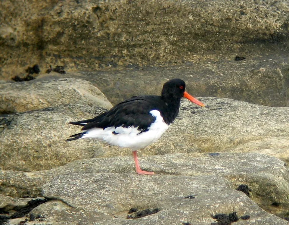
- Eurasian Oystercatcher · Haematopus ostralegus · 4339
- Scoloplos (Scoloplos) armiger · Scoloplos armiger · 3518
- Catworm · Nephtys hombergii · 3176
- Common sole · Solea solea · 2592
- Laver spire shell · Peringia ulvae · 2490
- Common dab · Limanda limanda · 2395
- Pygospio worm · Pygospio elegans · 2350
+18 more species
- Bib · Trisopterus luscus · 2247
- Common cockle · Cerastoderma edule · 2177
- Bee spionid · Spiophanes bombyx · 2051
- Common shore crab · Carcinus maenas · 1877
- Sand mason · Lanice conchilega · 1863
- Baltic Tellin · Macoma balthica · 1837
- Lugworm · Arenicola marina · 1754
- Urothoe poseidonis · 1644
- Rhizosolenia delicatula · 1616
- Whiting · Merlangius merlangus · 1532
- Viviparous eelpout · Zoarces viviparus · 1425
- Fourline nudibranch · Polycera quadrilineata · 1411
- Gallery Worm · Capitella capitata · 1381
- Capitellid thread worm · Heteromastus filiformis · 1341
- Common starfish · Asterias rubens · 1316
- Sundstroemia setigera · 1290
- Sea aster · Tripolium pannonicum · 1288
- Spio martinensis · 1277
Records: GBIF.org (CC-BY). Names: Wikidata (CC0), GBIF. Photos: Wikimedia Commons.
Conservation challenges
The primary purpose of the site is to preserve its natural habitats and the biodiversity they support. The species recorded (Biodiversity tab) reflect its ecological value. The designations it holds frame its management and the control of land use.
According to the European CORINE Land Cover inventory (Copernicus), land cover changed on about 1,610 ha of the site between 1990 and 2018 (19% of its area): farmland shrank by 1,368 ha, while wetlands grew by 560 ha, mostly at the expense of farmland. Built-up and developed land (buildings, business areas, roads, quarries) covers 2% of the area, and farmland 6% (CORINE Land Cover). According to the Natura 2000 forms, all 6 assessed habitats of European interest are in average or reduced condition. According to the Water Framework Directive assessment (2022 river basin management plans, data 2015–2020), water bodies assessed within the site: coastal waters, 0 of 1 in good ecological status or better. Since 2000, 21 invasive alien species have been recorded within the site (GBIF observations), 4 of them listed as of Union concern under EU Regulation 1143/2014. Among them: Alopochen aegyptiaca (Egyptian Goose), Mulinia lateralis (Dwarf surfclam) and Eriocheir sinensis (Chinese mitten crab).
Pressure indicators
Built-up land
2%
buildings, business areas, roads, quarries · farmland 6%
Land cover change
1,610 ha
changed cover, 1990–2018 · CORINE · 19% of the area
- −1,368 ha · farmland
- +560 ha · wetlands
Rivers and lakes
Coastal waters: 0 of 1 good or better
assessments 2015–2020
Invasive alien species
21
incl. 4 of EU concern · since 2000
 Egyptian GooseEU
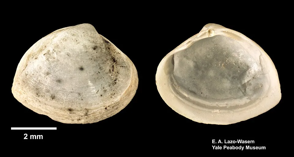 Dwarf surfclamEU
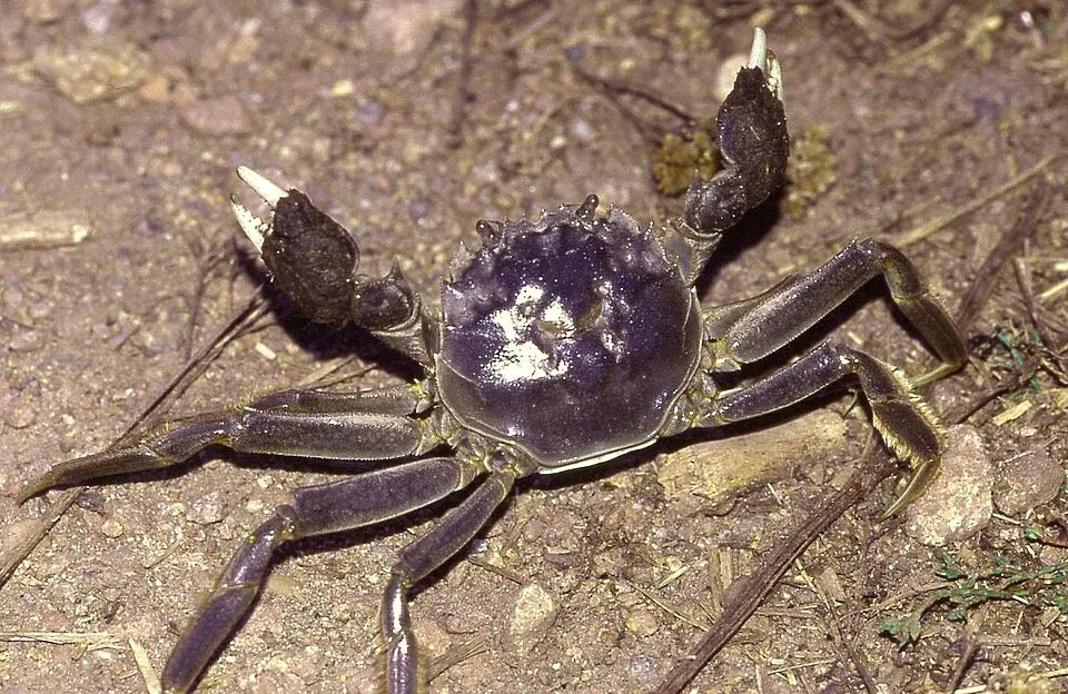 Chinese mitten crabEU
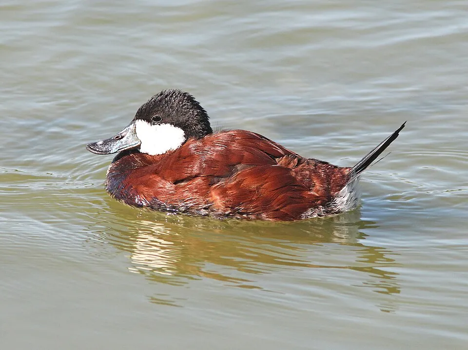 Ruddy DuckEU
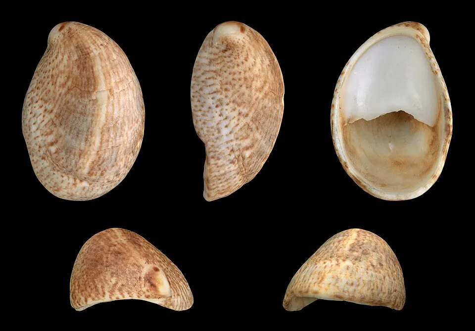 Common slipper shell
 Round Goby
 Pacific Oyster
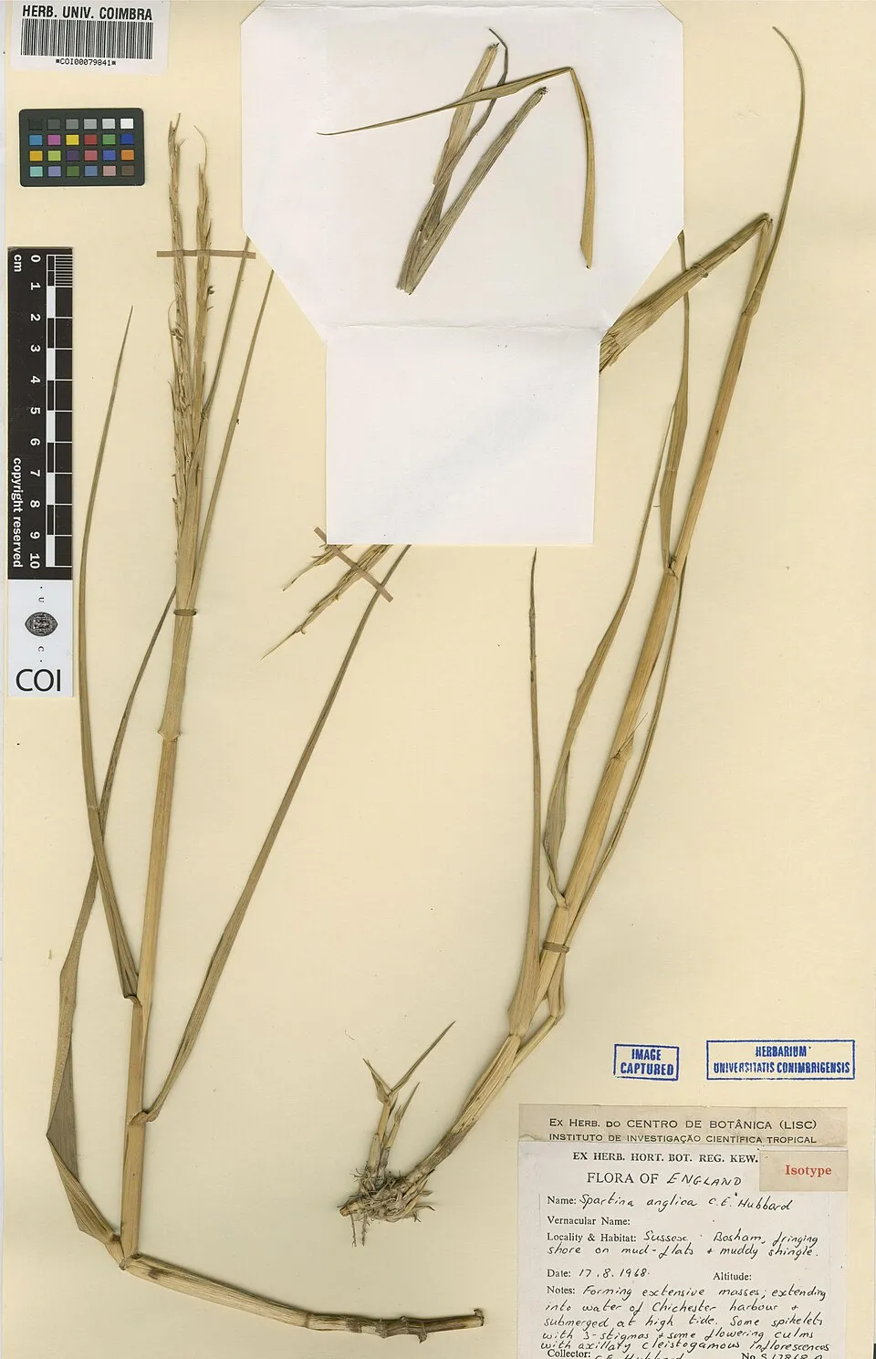 Common Cord-grass
Photos: Egyptian Goose © Rhododendrites · CC BY-SA 4.0; Dwarf surfclam © Eric A. Lazo-Wasem · CC0-1.0; Chinese mitten crab © Christian Fischer · CC BY-SA 3.0; Ruddy Duck © ALAN SCHMIERER · CC0-1.0; Common slipper shell © H. Zell · CC BY-SA 3.0; Round Goby © Yavno · Public domain; Pacific Oyster © Mariottini et al. (2024) · CC BY 4.0; Common Cord-grass © Herbarium of the University of Coimbra (COI) · CC BY 4.0
Sources: Global Forest Change (Hansen et al., University of Maryland, via Global Forest Watch, CC-BY 4.0); EFFIS, European Commission / Copernicus; NASA Black Marble 2016 (public domain); CORINE Land Cover 2018 (Copernicus) or MODIS.
CORINE Land Cover Change 1990–2018: generated using European Union's Copernicus Land Monitoring Service information (EEA), aggregated by Parkavela; DOI 10.2909/f30f1000-7cf8-43bb-872c-5eb093911b24.
Ecological status of water bodies: European Environment Agency, WISE – Water Framework Directive, 3rd river basin management plans (2022), CC BY 4.0. Official national classification, not comparable between countries.
Invasive alien species: Global Register of Introduced and Invasive Species (ISSG, CC BY 4.0); Union list, Regulation (EU) 1143/2014 (INBO, CC0); GBIF.org records (CC0 / CC BY 4.0), at least 2 per species.
Practical information
Cities and airport
- Bergen op Zoom
6 km as the crow flies - Roosendaal
17 km as the crow flies - Airport: Rotterdam The Hague (RTM)
36 km as the crow flies
Visitor information
- Receptie Oesterbaai
within the site - Reception
< 1 km from the site boundary - Tourist Information Yerseke
< 1 km from the site boundary
Data © OpenStreetMap contributors (ODbL) · Wikidata (CC0)
Waymarked hiking routes
Tracks © OpenStreetMap contributors (ODbL), clipped to the boundary; elevation gain and profiles computed on the longest section from Mapzen Terrain Tiles (≈ 30 m), indicative only.
Bathing
18 monitored bathing sites in or within 1 km of the site · 2025 classification
Excellent · 18
- Bergse Diepsluis Noord Badstrand · sea · Excellent
- Bruinisse Werkhaven Badstrand · lake · Excellent
- Colijnsplaat Badstrand · sea · Excellent
- Grevelingendam Badstrand · lake · Excellent
- Grevelingendam Plaat van Oude Tonge Badstrand · sea · Excellent
- Kamperland de Roompot Badstrand · sea · Excellent
- Katse Veer Badstrand · sea · Excellent
- Krabbendijke Roelshoek Badstrand · sea · Excellent
- Krammersluis Laagbekken Badstrand · sea · Excellent
- Neeltje Jans Badstrand · sea · Excellent
and 8 more
Source: European Environment Agency, official bathing water classification (Directive 2006/7/EC, CC-BY 4.0). Swimming is only permitted at the sites and times authorised locally.
Access and visiting
The nearest railway station is Krabbendijke, less than 1 km from the site boundary. Nearest towns of over 50,000 people, as the crow flies: Bergen op Zoom (6 km) and Roosendaal (17 km). Nearest airport: Rotterdam The Hague (RTM), about 36 km away. About 810,000 people live within 20 km of the site boundary, 300,000 of them within 10 km (GHSL estimate, 2020). This population has grown by about 7% since 2000. Visitor information on site: Receptie Oesterbaai, Reception and Tourist Information Yerseke. To see: Pluimpot (lake or pond). To plan a visit (access, opening periods, visitor rules), it is best to consult the official information from the managing body and the official website listed in this page's sources.
Source: OpenStreetMap (ODbL), Wikidata (CC0), October 2026.
Built heritage
According to Wikidata, 6 monuments listed in the Dutch national register of monuments (Rijksmonumentenregister) stand within the boundary. Among them are 2 prehistoric and archaeological sites, 1 religious building and 1 bridge, lighthouse, mill or working building. Examples include “Plompe Toren” in Schouwen-Duiveland, “Terrein waarin een vluchtberg/kasteelberg” in Schouwen-Duiveland and “Zeeland Bridge” in Zierikzee.
2 prehistoric and archaeological sites1 religious building1 bridge, lighthouse, mill or working building
-
Plompe Toren
Schouwen-Duiveland · 15th c. -
Terrein waarin een vluchtberg/kasteelberg
Schouwen-Duiveland -
Zeeland Bridge
Zierikzee · 20th c. -
Haven Rattekaai
Reimerswaal -
Verdronken stad
-
Landbouwhaven
Reimerswaal
Source: Wikidata (CC0), monuments in each country’s official heritage protection registers, at national or regional level. Each item links to its Wikidata entry.
When to visit
Best time to visit: from May to October, with average temperatures of 12 to 19 °C and moderate rainfall. Day length ranges from about 7 h 50 min in December to 16 h 37 min in June. Wildlife records published on GBIF peak for birds (January and February), plants (July and August), butterflies and moths (July and August), dragonflies (from June to August) and mammals (January and February). These peaks also reflect when observers are most active.
Source: Copernicus ERA5-Land (C3S), monthly averages 1996–2025 at the representative point, temperatures adjusted for elevation.
Contains modified Copernicus Climate Change Service information 2026. Neither the European Commission nor ECMWF is responsible for any use that may be made of the Copernicus information or data it contains.
Wildlife records calendar
JFMAMJJASOND
Birds
Plants
Butterflies & moths
Dragonflies
Mammals
Monthly records published on GBIF (CC-BY), relative to the busiest month; also reflects observer activity.
Gallery
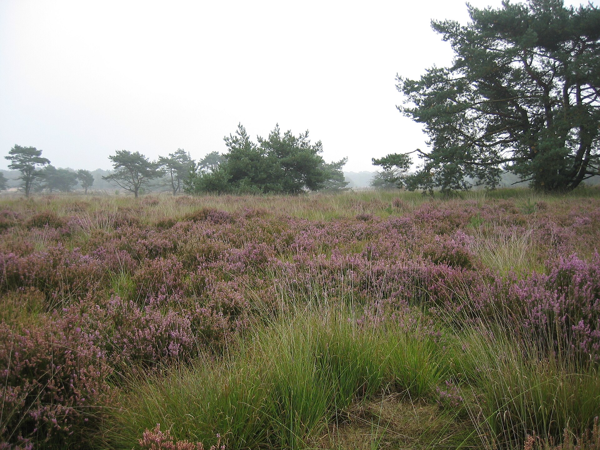
© Raimond Spekking · CC BY-SA 4.0
© MartinD · CC BY-SA 3.0
© Dkvtig · CC BY-SA 4.0
© Wilco Jacobusse · CC BY-SA 3.0
© Gerrit Huurman · CC BY 2.0
© Dkvtig · CC BY-SA 4.0
Sources and licences
- Wikidata: Q1703017
- OpenStreetMap: relation 2745473
- Official website: http://www.np-oosterschelde.nl/
- Wikipedia: en.wikipedia.org/wiki/Oosterschelde_National_Park
- WDPA: 331637
References
- cds.climate.copernicus.eu: climate · CC-BY-4.0
- registry.opendata.aws: elevation of the reference point · PD
- land.copernicus.eu: land cover, land cover change, sea share · COPERNICUS
- doi.org: population around the site · CC-BY-4.0
- wikidata.org: official area, establishment date, protected heritage, official name, nearby cities and airport, access and peaks, places to see, official website · CC0-1.0
- eea.europa.eu: bathing water quality, ecological status of waters · CC-BY-4.0
- gebco.net: depths · PD
- opentopodata.org: elevations · PD
- gbif.org: seasonality of sightings, invasive alien species, observed species · CC-BY-4.0
- natura2000.eea.europa.eu: Natura 2000 habitats and species · CC-BY-4.0
- openstreetmap.org: access and peaks · ODbL-1.0
- hiking.waymarkedtrails.org: route difficulty · ODbL-1.0
- wikidata.org: Wikipedia article · CC-BY-SA-4.0
Data © OpenStreetMap contributors (ODbL), Wikidata (CC0) and the sources cited.