
Fish
European eel: where to see it
Anguilla anguilla
This fish species is recorded in 20 protected areas of the atlas. Within the atlas countries, it is mostly observed in France, Belgium and the United Kingdom (8 countries in all). Records peak from June to October.
Best time to see it: June–October
Records published on GBIF by month (CC0 and CC BY 4.0 licences only), in the atlas countries, all years combined; they also reflect observer activity.
Distribution
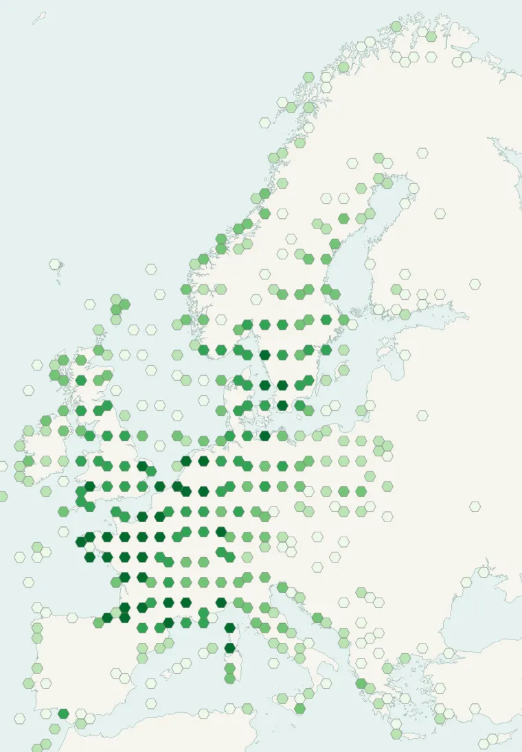
Records published on GBIF (CC0 and CC BY 4.0 licences): the darker the shade, the more records there are; they also reflect observation effort.
Atlas countries where it is recorded
Listen
-
1:18 · © Mikeyspeed7 · CC BY-SA 3.0 · Wikimedia Commons · Original file
-
1:04 · © Feroze Ahmad 2 · CC BY-SA 4.0 · Wikimedia Commons · Original file
From Wikipedia
The European eel (Anguilla anguilla) is a species of eel. Their life history was a mystery for thousands of years, and mating in the wild has not yet been observed. The five stages of their development were originally thought to be different species. They are critically endangered due to hydroelectric dams, overfishing by fisheries on coasts for human consumption, and parasites.
Source: Wikipedia, article “European eel” (version of October 22, 2026) · history and authors · licence CC BY-SA 4.0
Protected areas where it is recorded
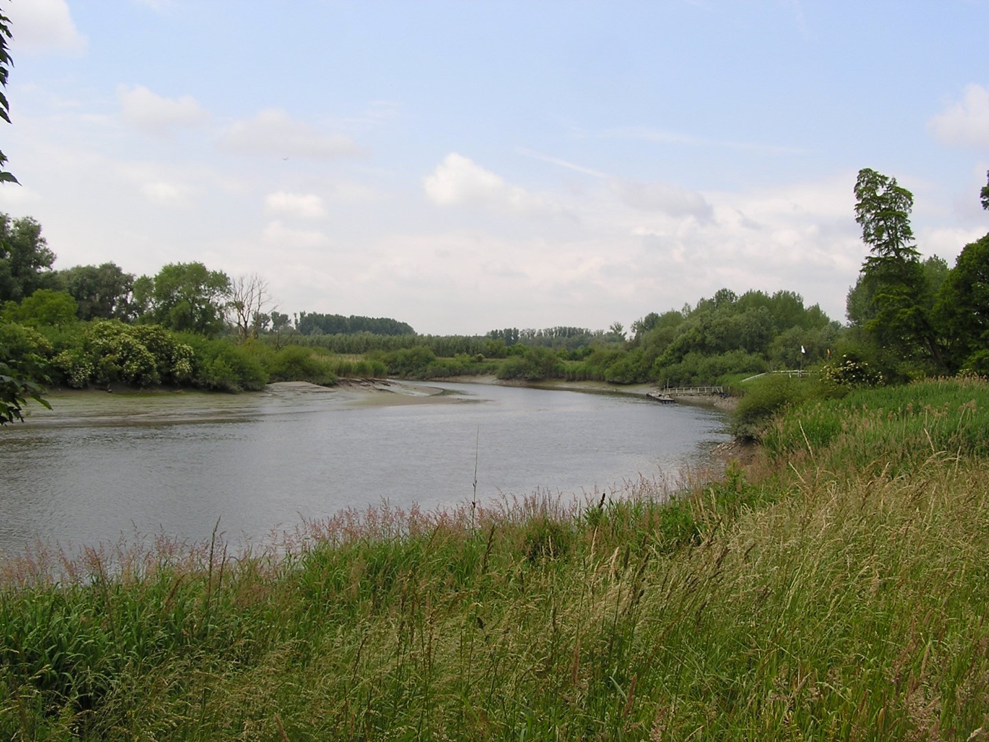
65,594 records
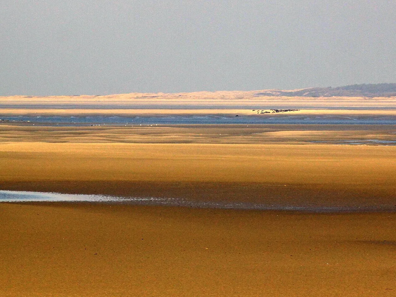
37,680 records
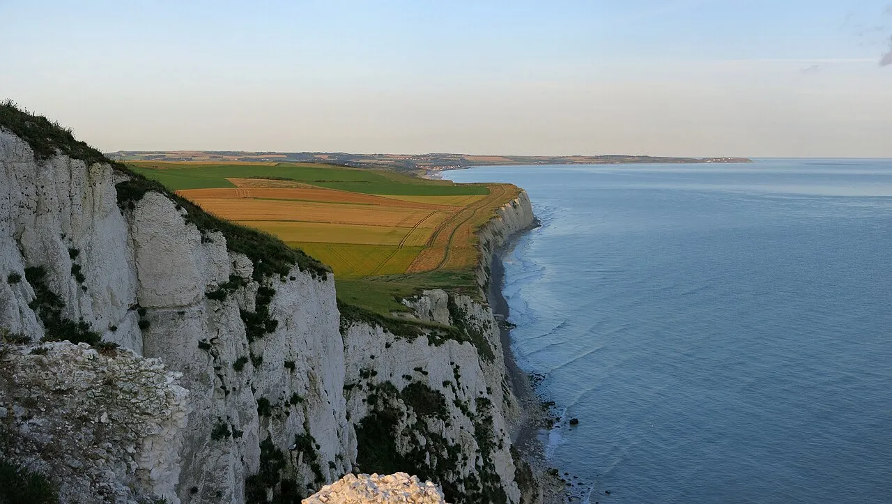
10,051 records
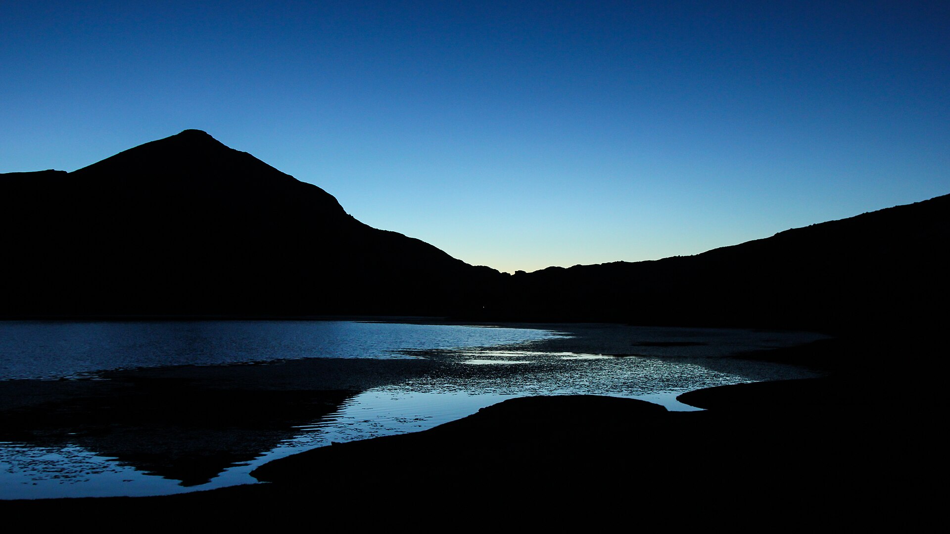
9,763 records
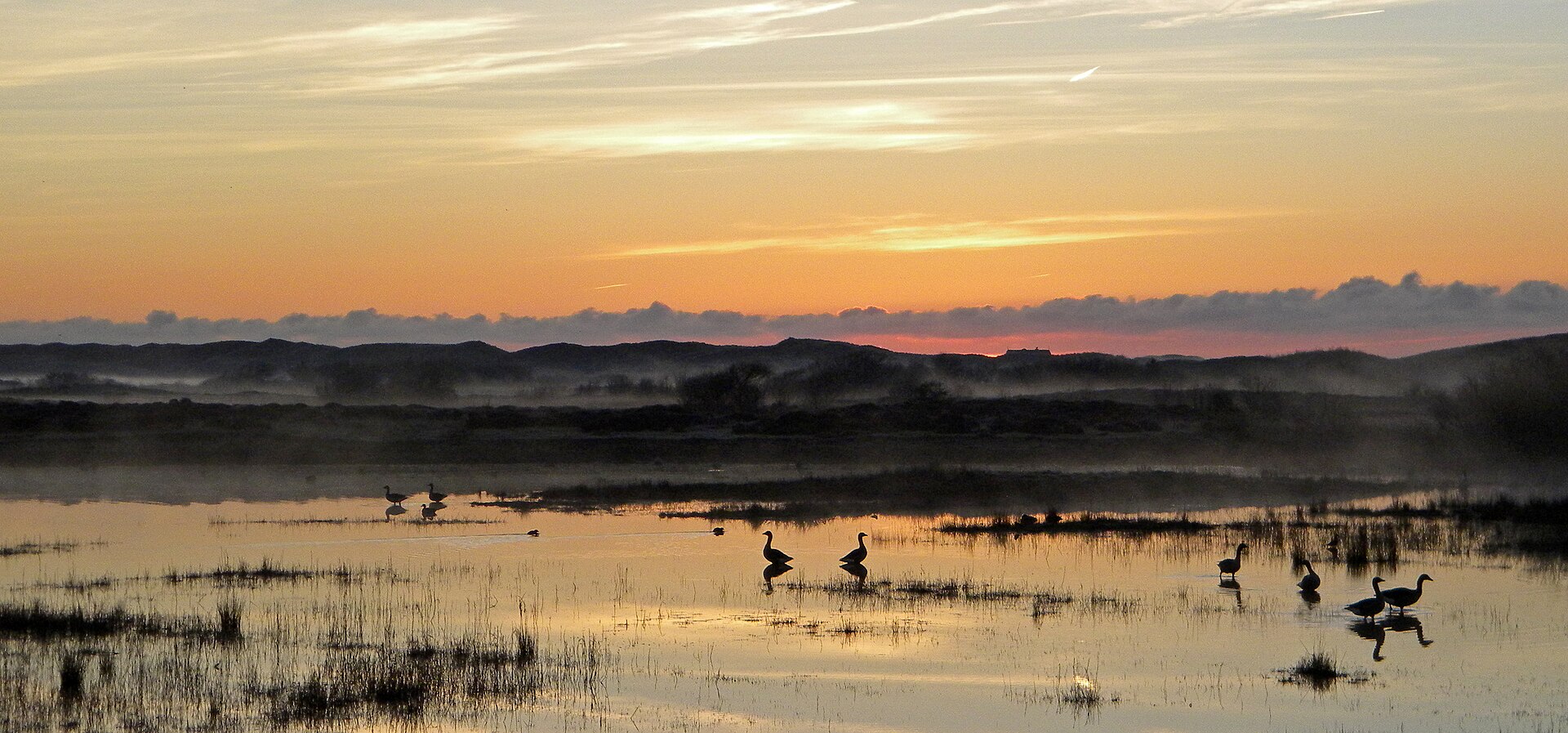
8,683 records

5,877 records
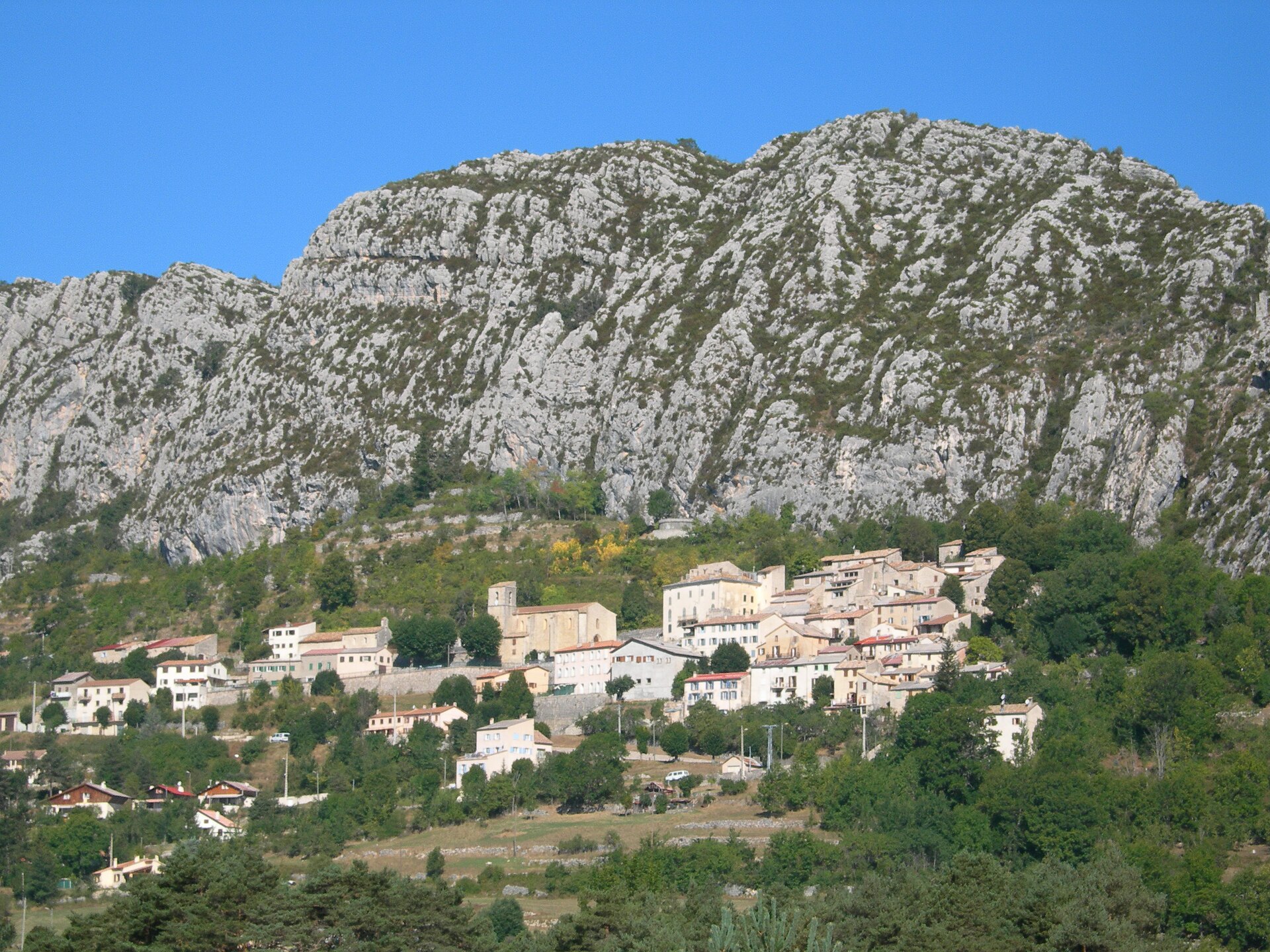
5,151 records
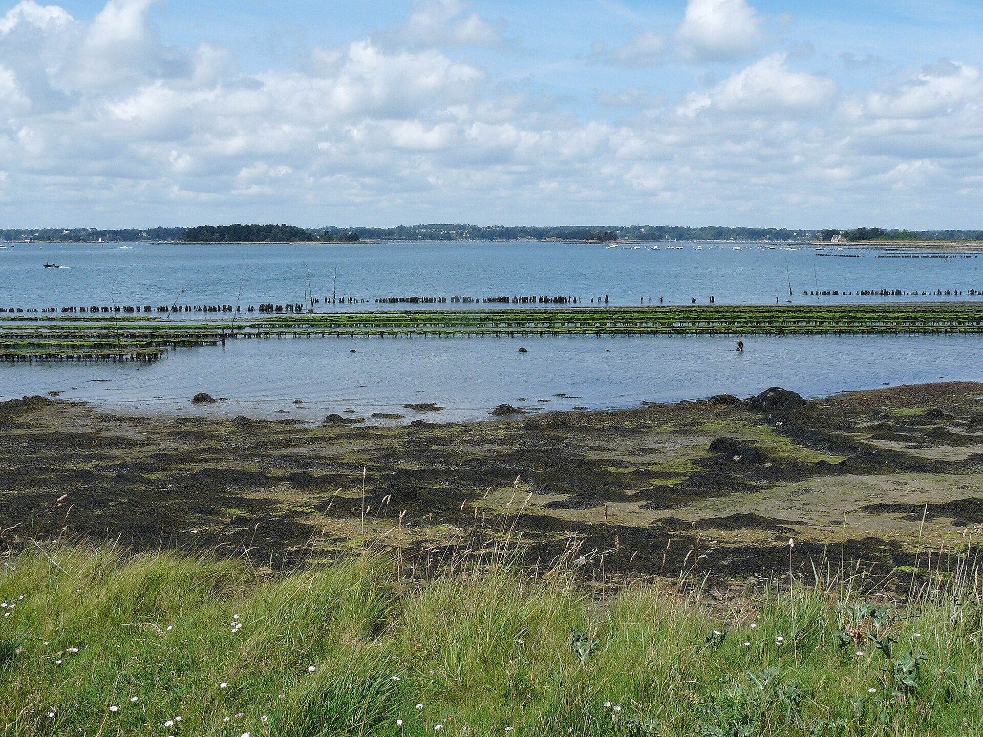
5,017 records
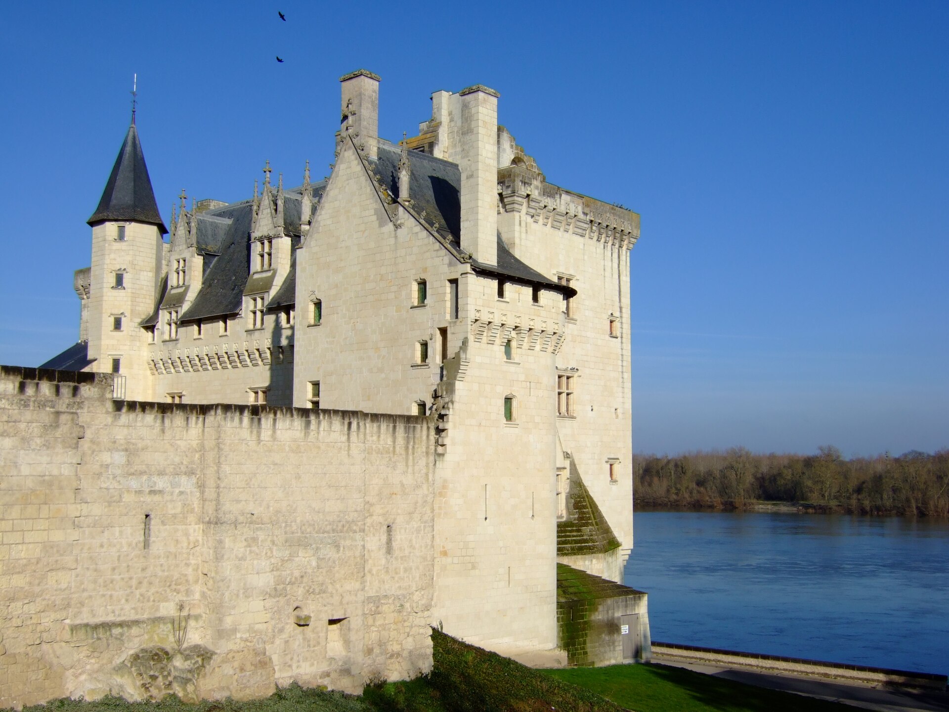
4,885 records
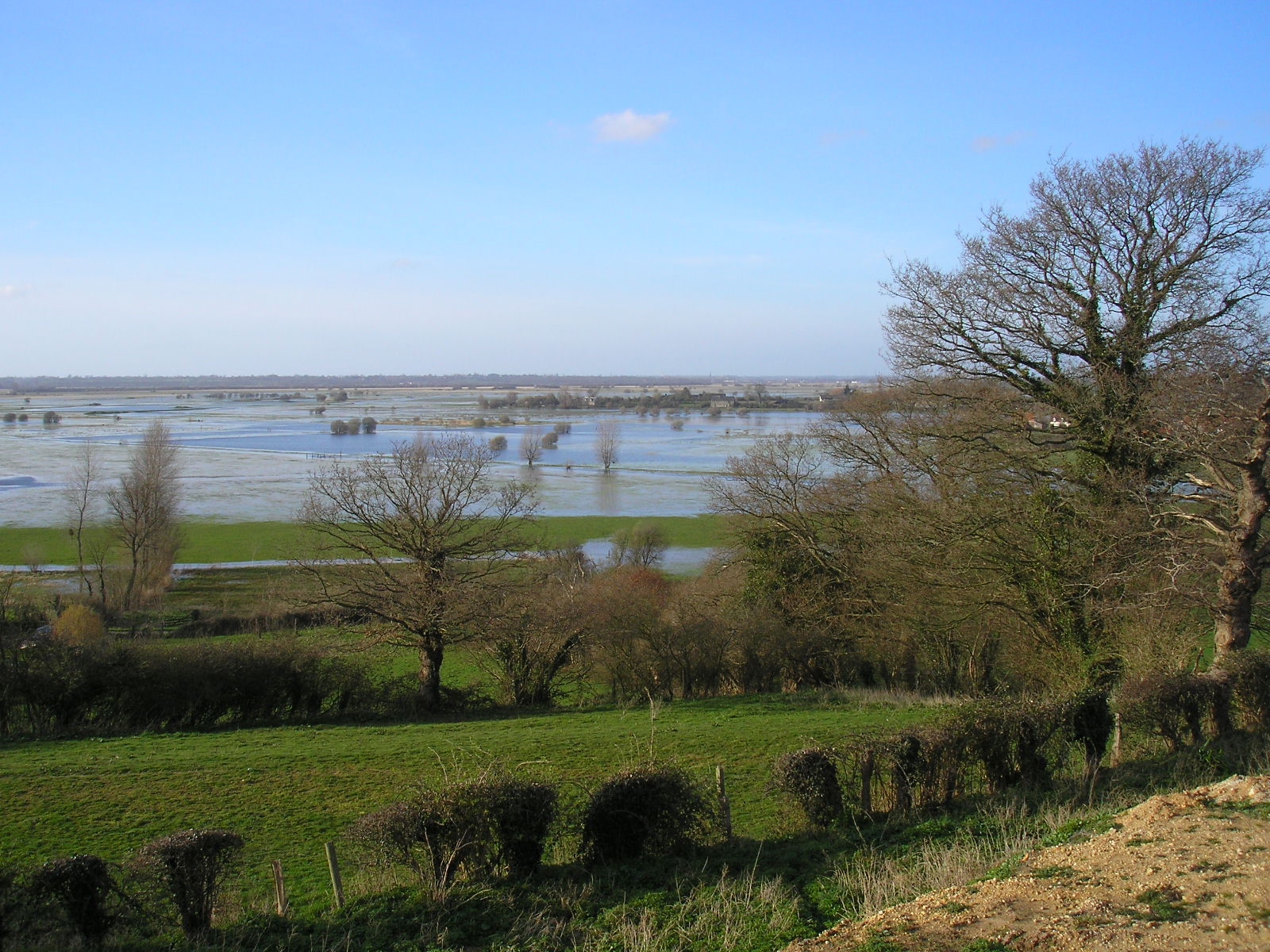
3,223 records
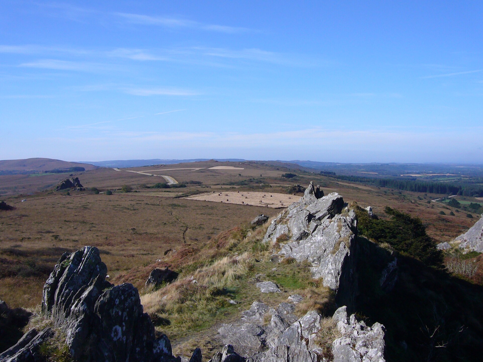
2,684 records
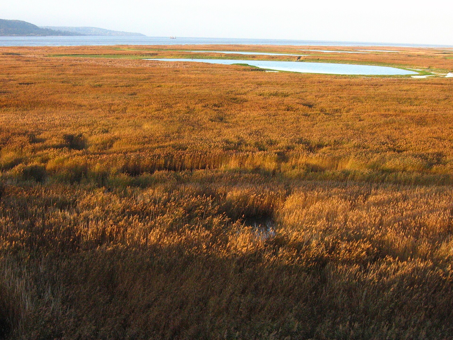
2,296 records

2,216 records
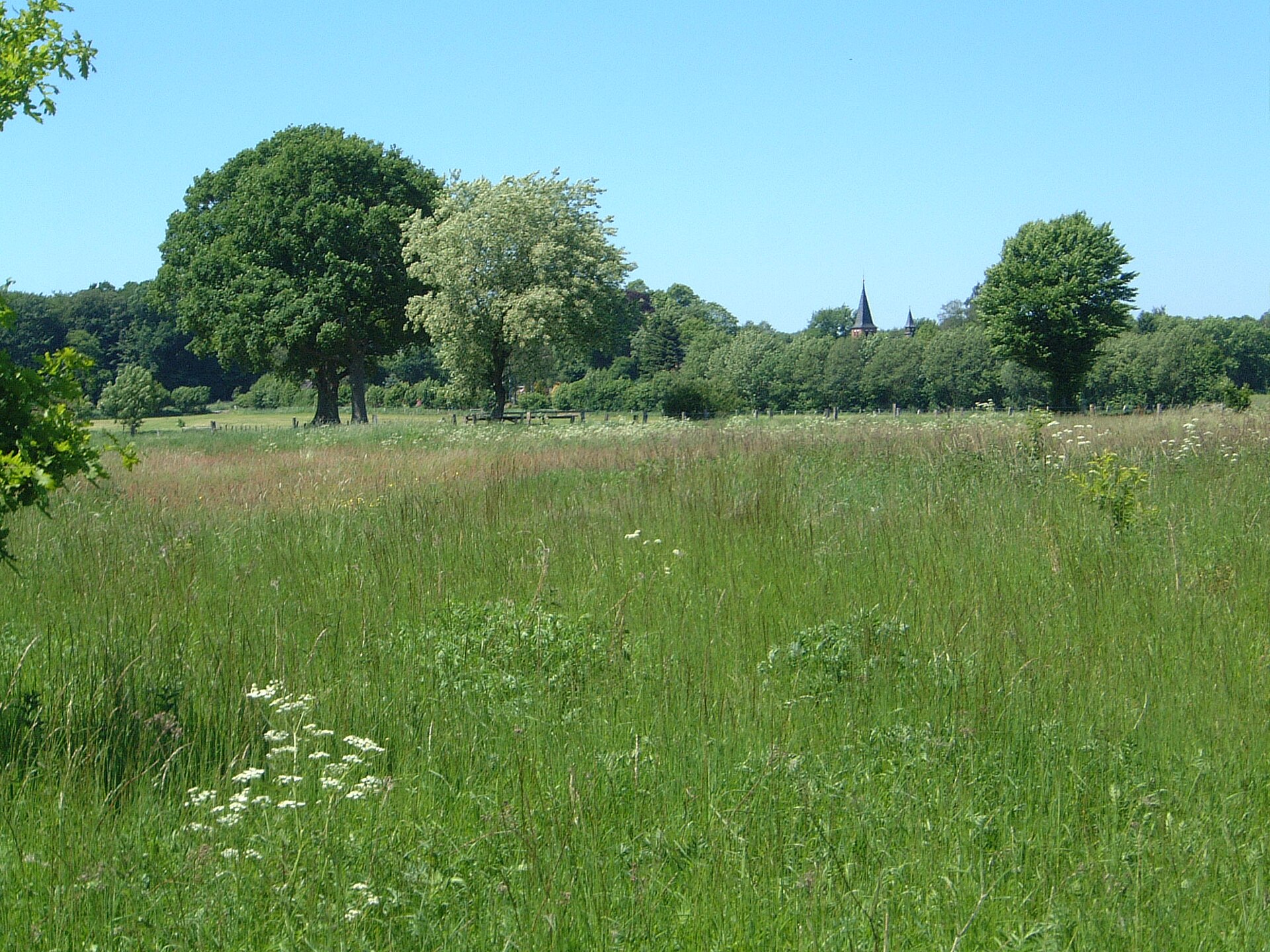
239 records

90 records
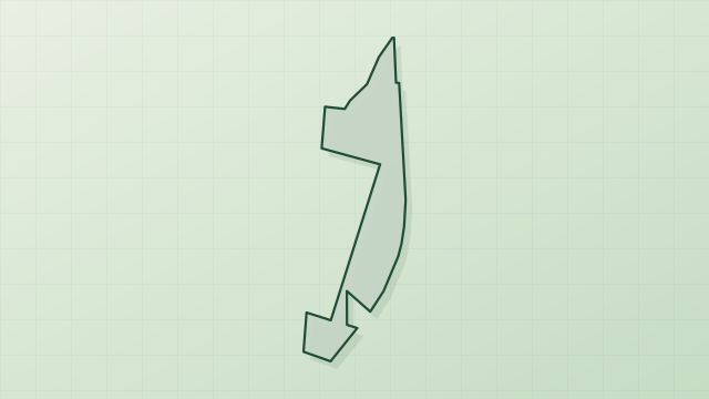
66 records
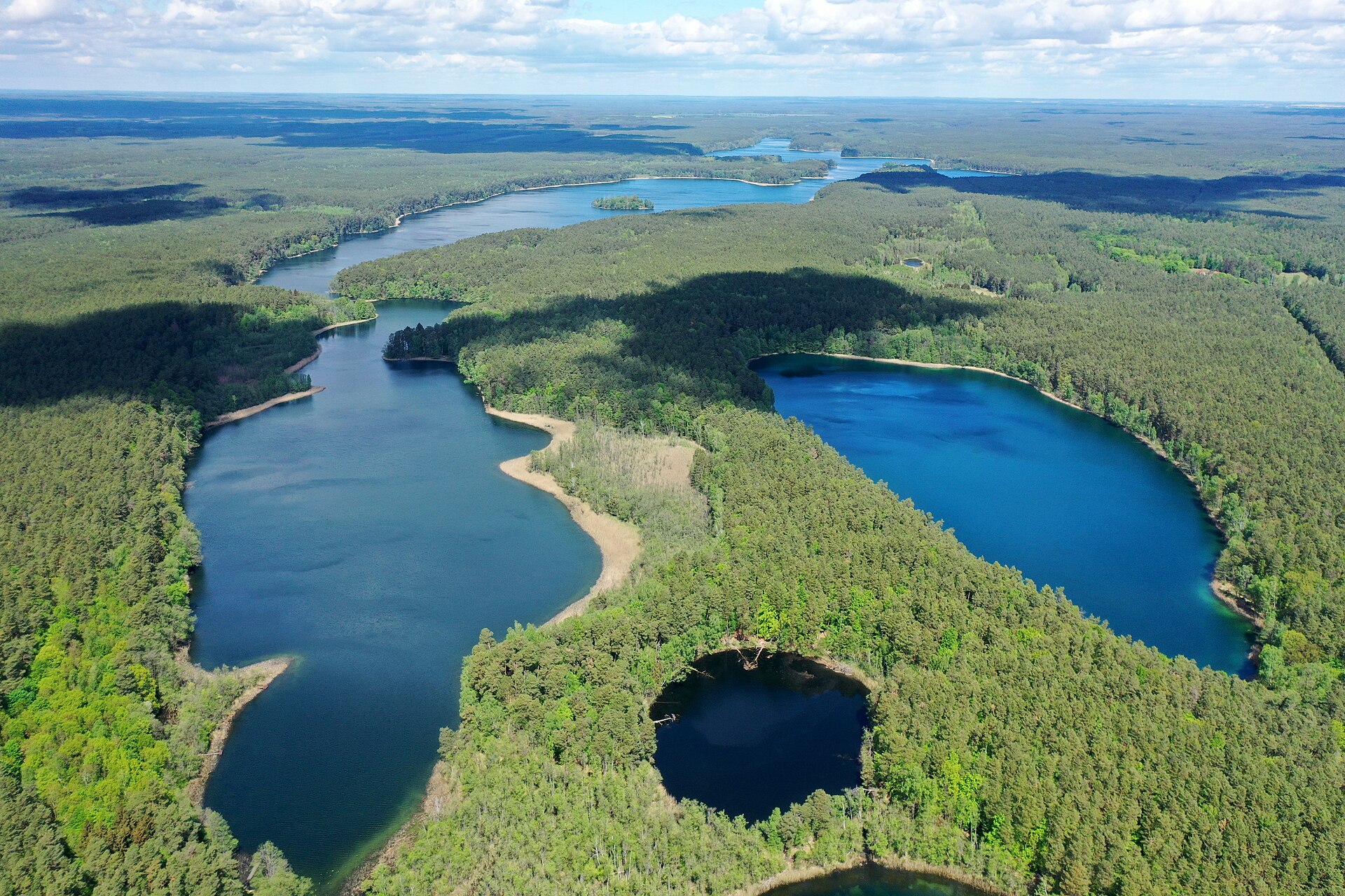
40 records

19 records
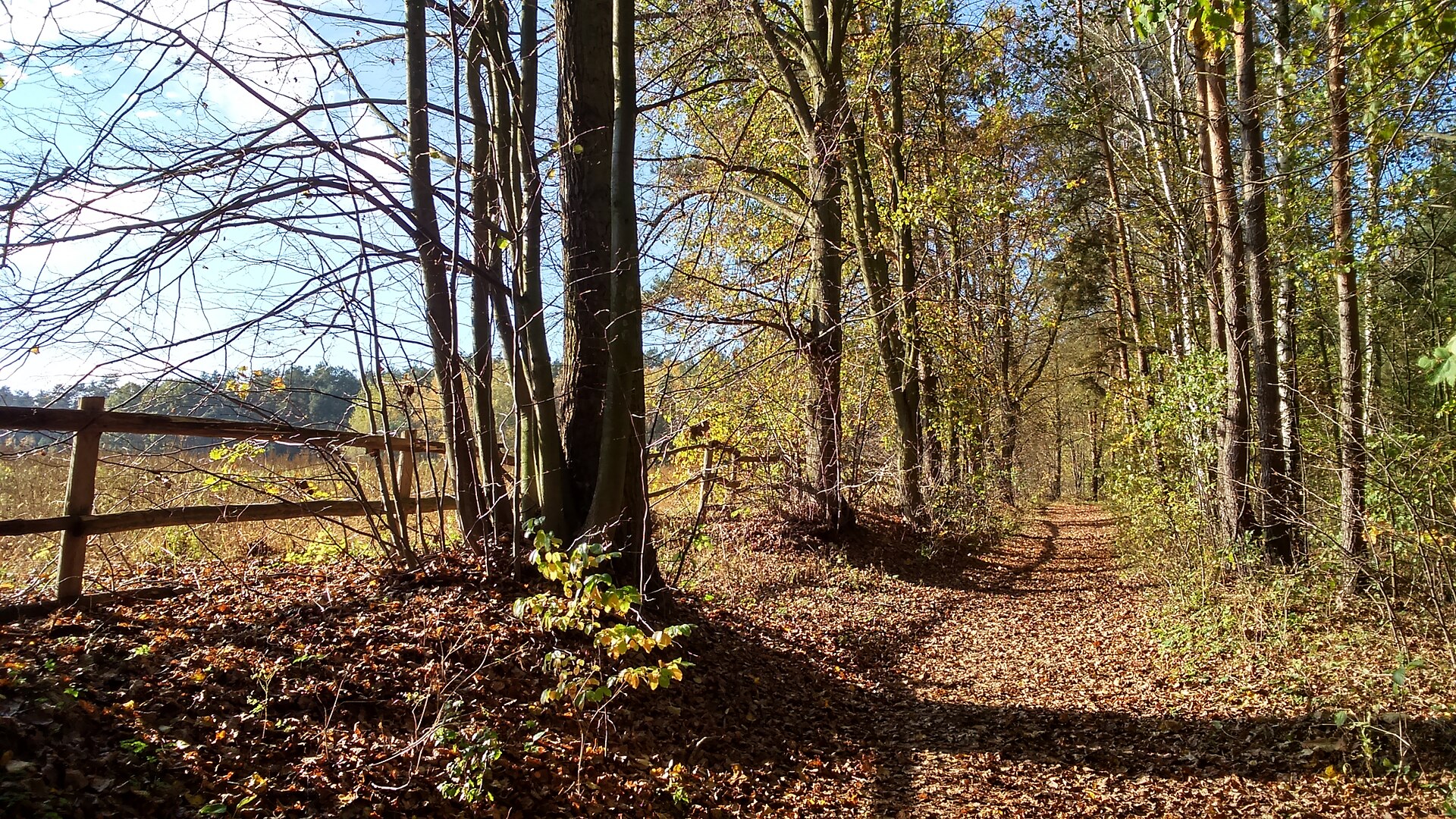
17 records
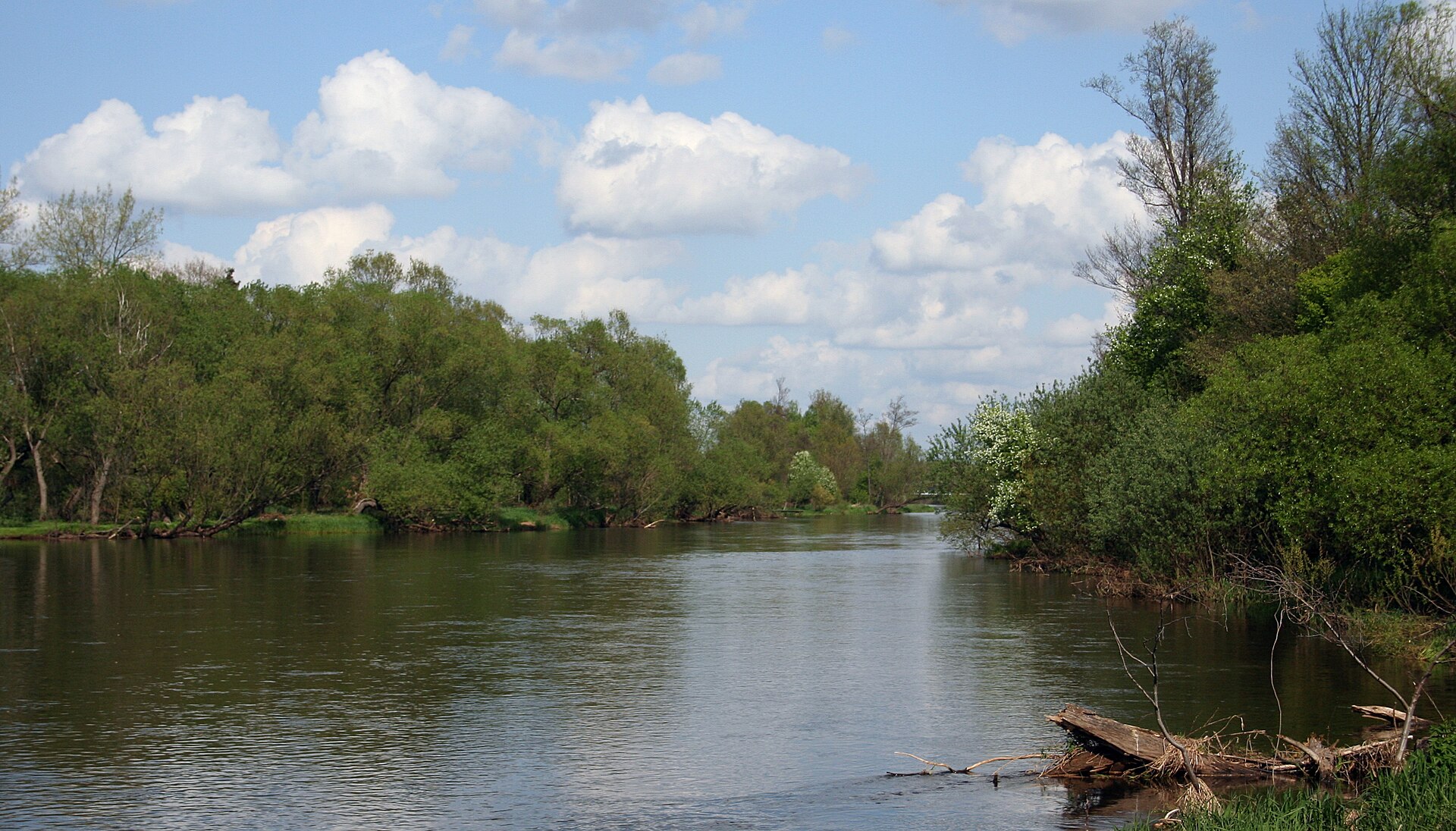
7 records
Other species to discover
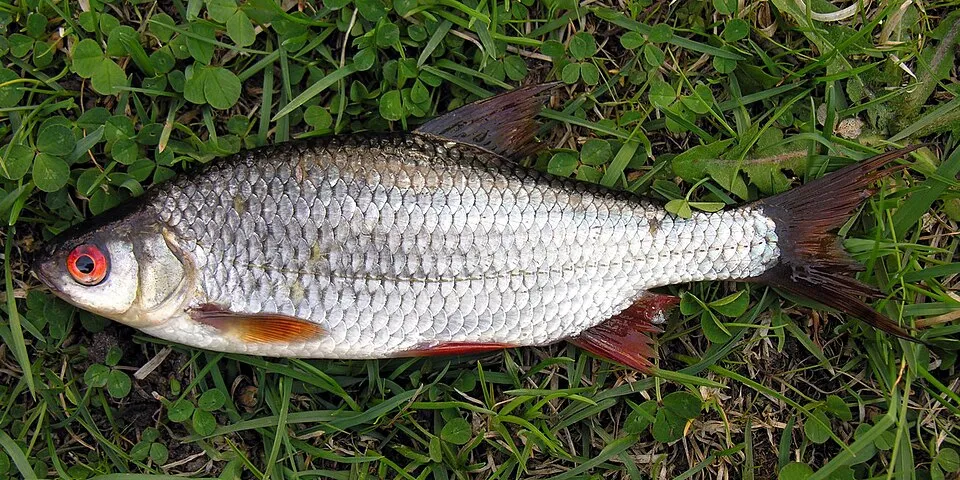
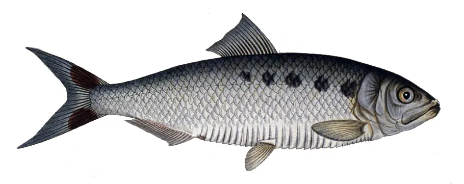
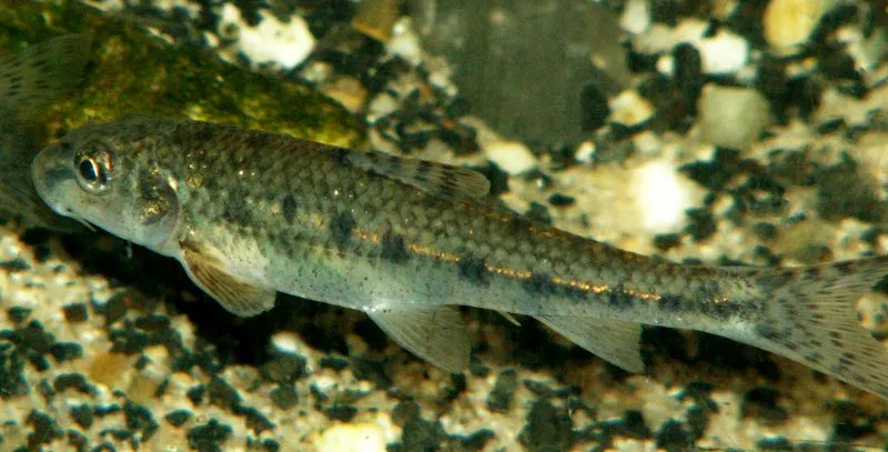

Sources and credits
- Presence: most-recorded species of each place on GBIF and species of Community interest in the Natura 2000 forms (EEA, CC-BY 4.0); absence from the list does not mean the species is absent.
- Common names: Wikidata (CC0) and GBIF.
- Photos and sounds: Wikimedia Commons, author and licence given for each file.
- Classification: GBIF Backbone Taxonomy (GBIF Secretariat), CC BY 4.0, doi:10.15468/39omei.
- Countries, elevations, months and maps: GBIF.org, CC0 or CC BY 4.0 occurrences only, accessed October 22, 2026, GBIF.org.
- Base map: Natural Earth (public domain).
- Excerpt: Wikipedia, CC BY-SA 4.0 (full credit below the excerpt).