France · Terrestrial
Loire-Anjou-Touraine Regional Natural Park
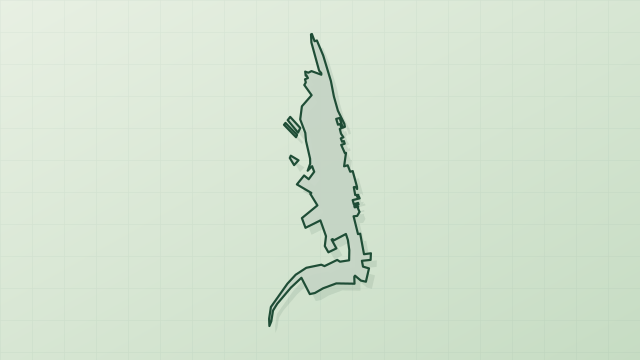
Regional nature park of 270,858 hectares in France, established in 1996.
Overview
Regional nature park of 270,858 hectares in France, established in 1996.
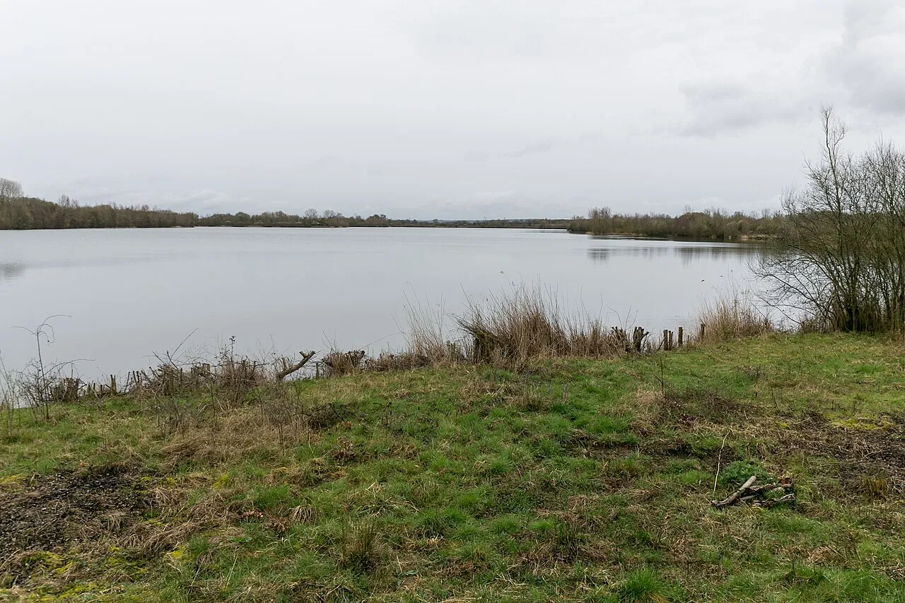
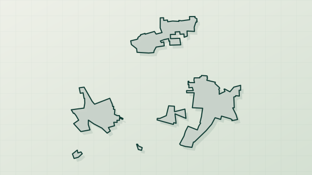
Loire-Anjou-Touraine Regional Natural Park is a regional nature park in France (Europe). It is a predominantly terrestrial area. Established in 1996, it covers about 270,858 hectares.
Protections and designations
Natura 2000 · habitats (SAC) · 8 sites
- Cave Prieur et cave du Château (Cunault) FR5200636
- Cavités souterraines le Buisson et la Seigneurerie (Chemellier) FR5200633
- Complexe du Changeon et de la Roumer FR2402007
- Complexe forestier de Chinon, landes du Ruchard FR2400541
- La cave Billard (Puy Notre Dame) FR5202001
- La Loire de Candes Saint Martin à Mosnes FR2400548
- and 2 more
Natura 2000 · birds (SPA) · 5 sites
- Basses vallées de la Vienne et de l'Indre FR2410011
- Champagne de Méron FR5212006
- Lac de Rillé et forêts voisines d'Anjou et de Touraine FR2410016
- Vallée de la Loire d'Indre-et-Loire FR2410012
- Vallée de la Loire des Ponts-de-Cé à Montsoreau FR5212003
Protected as a regional nature park. International labels and designations: Natura 2000 network (13 sites). Key dates: established in 1996, first Natura 2000 site under the Habitats Directive in 2004 and first Natura 2000 site under the Birds Directive in 2005.
In our collections
Timeline
-
1996
Established
-
2004
First Natura 2000 site under the Habitats Directive 8 such sites designated up to 2015
-
2005
First Natura 2000 site under the Birds Directive 5 such sites designated up to 2013
Sources: Wikidata (CC0) for establishment and international labels; EEA Natura 2000 database (CC-BY 4.0) for site designation dates.
Frequently asked questions
Where is Loire-Anjou-Touraine Regional Natural Park?
In France (Europe). Representative point: 47.2219° N, 0.0852° E.
How large is Loire-Anjou-Touraine Regional Natural Park?
About 270,858 hectares (2,709 km²). It is the 11th largest of the 59 regional parks in France covered by Parkavela.
When was Loire-Anjou-Touraine Regional Natural Park established?
In 1996.
What habitats and landscapes does Loire-Anjou-Touraine Regional Natural Park include?
A terrestrial area, where land cover is dominated by farmland (58%).
What rocks lie beneath Loire-Anjou-Touraine Regional Natural Park?
According to the BRGM's simplified lithological map, the bedrock consists mainly of chalk (56% of sampled points), sands (31%) and clays (13%). These are mostly sedimentary rocks.
What is the highest point of Loire-Anjou-Touraine Regional Natural Park?
Mont Forton, at 112 m (OpenStreetMap).
What are the main summits of Loire-Anjou-Touraine Regional Natural Park?
Mont Forton (112 m), Mont Sigout (94 m), La Colline (88 m), Le Puy Besnard (86 m) and Puy des Ajoncs (79 m) (OpenStreetMap).
Which international labels apply to Loire-Anjou-Touraine Regional Natural Park?
Natura 2000 network (13 sites).
When is the best time to visit Loire-Anjou-Touraine Regional Natural Park?
Best time to visit: from April to September, with average temperatures of 11 to 21 °C and moderate rainfall.
What is there to see in Loire-Anjou-Touraine Regional Natural Park?
52 viewpoints, 5 waterfalls, 106 lakes and ponds, 1,433 caves and 14 bird hides, including Panorama sur la confluence Loire Vienne (87 m), Grand Étang, Ancien quartier troglodytique du Coteau Sainte-Radegonde and Belvedère (OpenStreetMap).
Where can I stay in Loire-Anjou-Touraine Regional Natural Park?
82 campsites, including Aire camping-cars de Concourson-sur-Layon, Aire camping-cars de Montreuil-Bellay and Aire de camping-cars de Continvoir (OpenStreetMap).
Are there historic monuments in Loire-Anjou-Touraine Regional Natural Park?
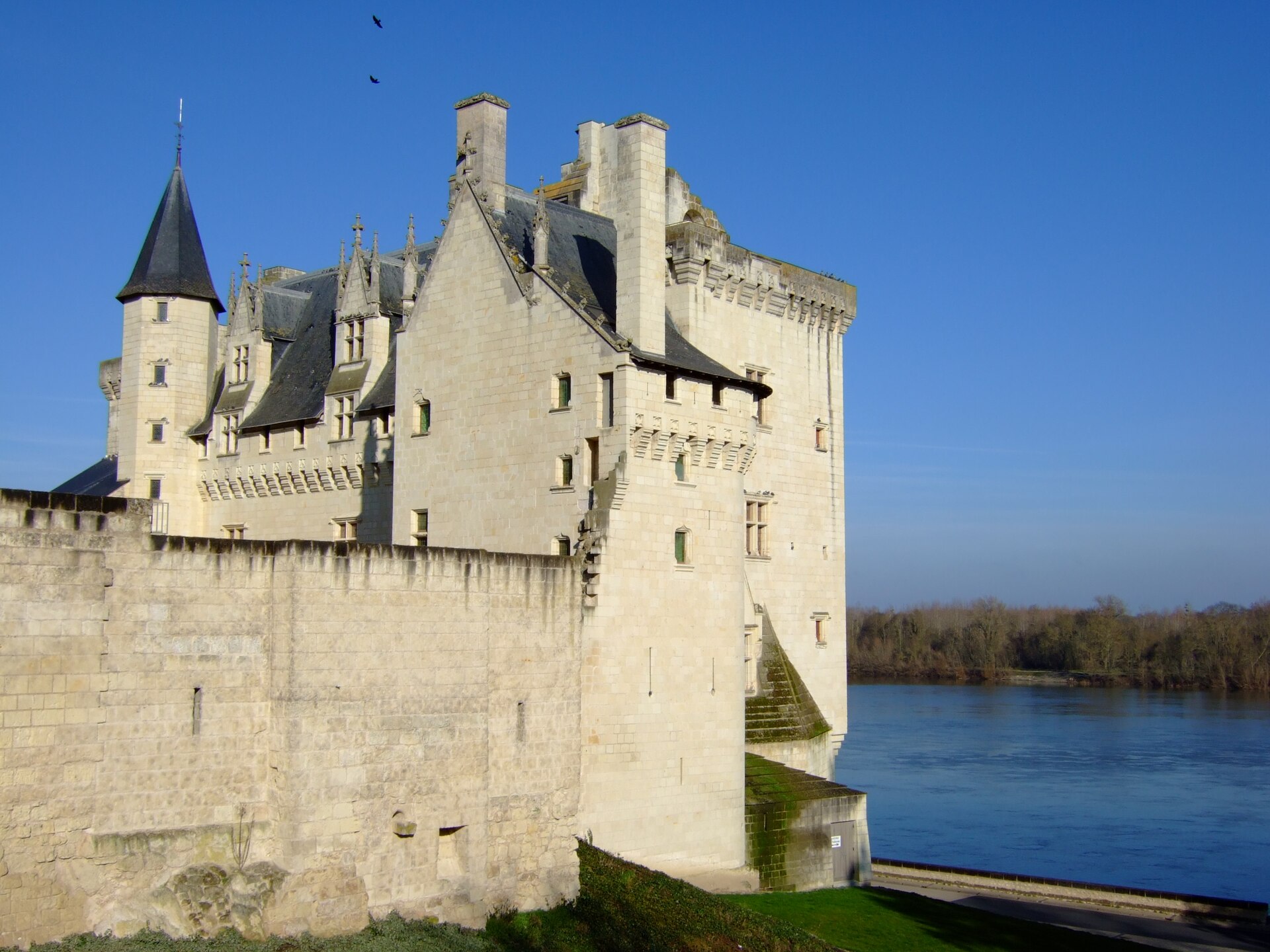
Yes. According to the French Ministry of Culture's Mérimée database, 484 historic monuments stand within the boundary, 132 of them with the highest level of protection (classé). For example: “Allée couverte dite la Grande Pierre couverte” in Saumur, “Chapelle Notre-Dame de Pitié” in Fontevraud-l'Abbaye and “Château d'Ussé” in Rigny-Ussé.
Can you swim in Loire-Anjou-Touraine Regional Natural Park?
4 monitored bathing sites lie in or within 1 km of the site; official 2025 classification: 4 excellent (European Environment Agency). Swimming is only permitted at the sites and times authorised locally.
What is the nearest large city to Loire-Anjou-Touraine Regional Natural Park?
Nearest towns of over 50,000 people, as the crow flies: Angers (8 km) and Tours (10 km). Nearest airport: Tours Val de Loire (TUF), about 14 km away.
How can I reach Loire-Anjou-Touraine Regional Natural Park by train?
Montreuil-Bellay railway station lies within the site.
Where can I get visitor information on site?
La Maison du Parc, Bureau d'information de Gennes-Val-de-Loire and Office du tourisme de Fontevraud l'Abbaye.
Are there waymarked hiking trails in Loire-Anjou-Touraine Regional Natural Park?
Yes. Waymarked hiking routes listed in OpenStreetMap: 146, including GR 46, GR 48 (323 km), Via Sancti Martini and De la Manche aux Pyrénées. The “Via Sancti Martini - Chemin d'été de la Saint-Martin” route runs for about 83 km through the site, with some 390 m of ascent on its longest section.
Which species can be seen in Loire-Anjou-Touraine Regional Natural Park?
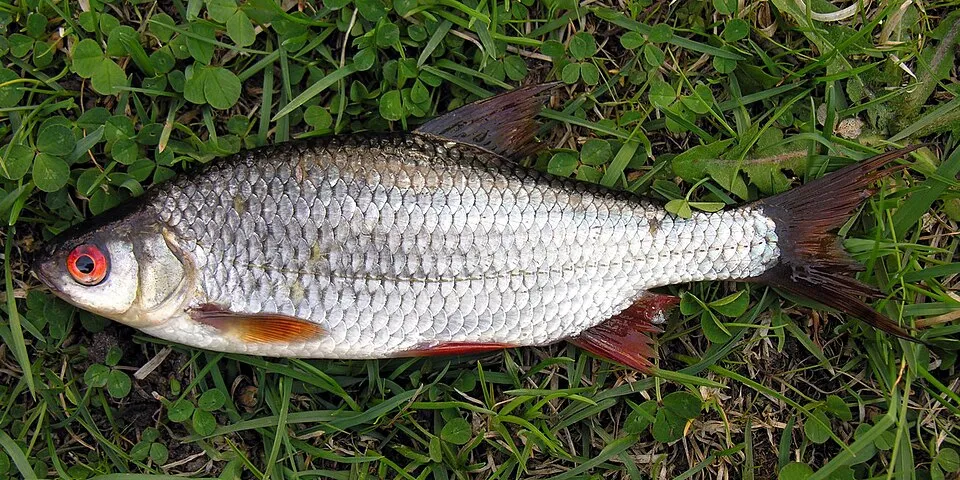
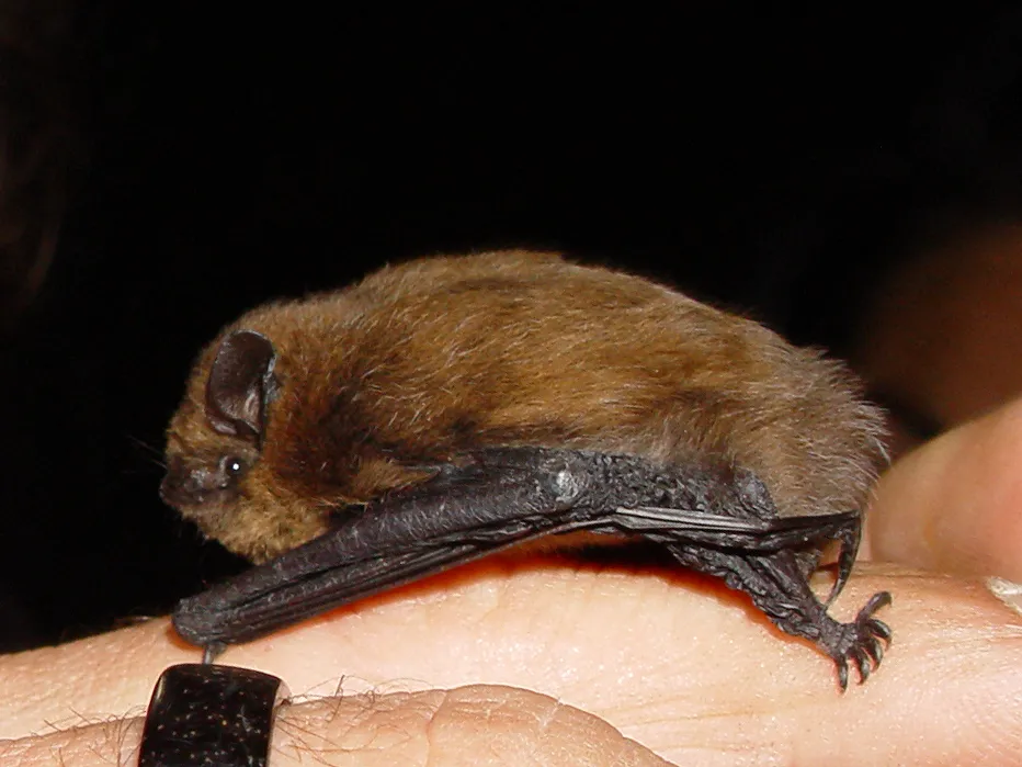
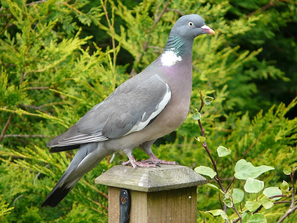
Among the species most often recorded on GBIF are Rutilus rutilus (Roach), Pipistrellus pipistrellus (Common pipistrelle), Turdus merula (Common Blackbird) and Columba palumbus (Common Wood Pigeon).
What is the official website of Loire-Anjou-Touraine Regional Natural Park?
© OpenStreetMap
Download the boundary: GeoJSON · GPX Boundary © OpenStreetMap contributors (ODbL).
Geography
The representative point of the site lies at around 32 m above sea level. Over the 1996–2025 period, the mean annual temperature is about 12.8 °C and total precipitation reaches roughly 711 mm per year. The warmest month is usually August, the coolest January, and the wettest October. According to the BRGM's simplified lithological map, the bedrock consists mainly of chalk (56% of sampled points), sands (31%) and clays (13%). These are mostly sedimentary rocks. The site contains 5 lakes larger than 10 ha, totalling 87 ha of water (HydroLAKES).
Area
- Area
- 270,858 ha
- Elevation
- 32 m
- Lakes over 10 ha
- 5 (87 ha)
- Coordinates
- 47.2219, 0.0852
Lakes: HydroLAKES (Messager et al. 2016, hydrosheds.org, CC BY 4.0) · depths: Wikidata (CC0)
Bedrock
- Chalk 56 %
- Sands 31 %
- Clays 13 %
Sedimentary rocks 100 %
Source: BRGM, simplified lithological map at 1:1,000,000 (Licence Ouverte), 16 points sampled within the boundary.
Main summits
- Mont Forton112 m
- Mont Sigout94 m
- La Colline88 m
- Le Puy Besnard86 m
- Puy des Ajoncs79 m
Data © OpenStreetMap contributors (ODbL)
Climate
● Mean temperature (°C) · ▮ Precipitation (mm)
Source: Copernicus ERA5-Land (C3S, doi:10.24381/cds.68d2bb30), monthly averages 1996–2025 interpolated to the representative point, temperatures adjusted for elevation.
Contains modified Copernicus Climate Change Service information 2026. Neither the European Commission nor ECMWF is responsible for any use that may be made of the Copernicus information or data it contains.
Natural habitats
According to CORINE Land Cover (2018), the site is mainly made up of farmland (58%), forests (25%) and grassland and meadows (9%). Woodland is mostly broadleaved. Elevation ranges from about 20 m to 112 m (highest point: Mont Forton). The 13 Natura 2000 sites overlapping the area list 28 habitats of European interest (8 priority), the most extensive being riparian mixed forests of Quercus robur, Ulmus laevis and Ulmus minor, Fraxinus excelsior or Fraxinus angustifolia, along the great rivers (Ulmenion minoris), alluvial forests with Alnus glutinosa and Fraxinus excelsior (Alno-Padion, Alnion incanae, Salicion albae) and lowland hay meadows (Alopecurus pratensis, Sanguisorba officinalis).
Biodiversity
Based on occurrences aggregated by GBIF, several species are regularly recorded within the site. Among the most frequent are Rutilus rutilus (Roach), Pipistrellus pipistrellus (Common pipistrelle), Turdus merula (Common Blackbird) and Columba palumbus (Common Wood Pigeon). The full list of documented taxa is shown below. The overlapping Natura 2000 sites list 153 species of European interest: 92 birds, 23 mammals, 4 reptiles, 6 amphibians, 10 fish, 17 invertebrates and 1 plant.
Habitats of European interest
From the official forms of the 13 Natura 2000 sites overlapping the area (areas reported for each whole site).
- Riparian mixed forests of Quercus robur, Ulmus laevis and Ulmus minor, Fraxinus excelsior or Fraxinus angustifolia, along the great rivers (Ulmenion minoris) 1,594 ha
- Alluvial forests with Alnus glutinosa and Fraxinus excelsior (Alno-Padion, Alnion incanae, Salicion albae) priority 1,371 ha
- Lowland hay meadows (Alopecurus pratensis, Sanguisorba officinalis) 1,011 ha
- Rivers with muddy banks with Chenopodion rubri p.p. and Bidention p.p. vegetation 998 ha
- European dry heaths 417 ha
- Water courses of plain to montane levels with the Ranunculion fluitantis and Callitricho-Batrachion vegetation 161 ha
- Hydrophilous tall herb fringe communities of plains and of the montane to alpine levels 133 ha
- Galicio-Portuguese oak woods with Quercus robur and Quercus pyrenaica 119 ha
and 20 more
Species of European interest
Birds · 92
Common Sandpiper (Actitis hypoleucos) passage breeding wintering, Common Kingfisher (Alcedo atthis) resident breeding wintering, Northern Pintail (Anas acuta) passage wintering, Eurasian Teal (Anas crecca) wintering passage, Mallard (Anas platyrhynchos) wintering, Greater white-fronted goose (Anser albifrons) wintering, Greylag Goose (Anser anser) wintering passage, Taiga bean goose (Anser fabalis) wintering, Tawny Pipit (Anthus campestris) passage breeding, Great Egret (Ardea alba) wintering passage, Grey Heron (Ardea cinerea) breeding wintering, Purple Heron (Ardea purpurea) breeding passage and 80 more
Mammals · 23
Barbastelle (Barbastella barbastellus), Eurasian Beaver (Castor fiber), Serotine bat (Eptesicus serotinus), Eurasian otter (Lutra lutra), Alcathoe Whiskered Bat (Myotis alcathoe), Bechstein's bat (Myotis bechsteinii), Daubenton's bat (Myotis daubentonii), Geoffroy's bat (Myotis emarginatus), Greater mouse-eared bat (Myotis myotis), Whiskered bat (Myotis mystacinus), Natterer's bat (Myotis nattereri), Myotis nattereri nattereri and 11 more
Reptiles · 4
Dark green snake (Coluber viridiflavus), Aesculapian snake (Elaphe longissima), European Pond Turtle (Emys orbicularis), Western Whip Snake (Hierophis viridiflavus)
Amphibians · 6
Midwife toad (Alytes obstetricans), Natterjack (Bufo calamita), Common tree frog (Hyla arborea), Pool frog (Pelophylax lessonae), Agile frog (Rana dalmatina), Great crested newt (Triturus cristatus)
Fish · 10
Allis shad (Alosa alosa), Twait shad (Alosa fallax), Spined loach (Cobitis taenia), European bullhead (Cottus gobio), Common Bullhead (Cottus perifretum), European river lamprey (Lampetra fluviatilis), European brook lamprey (Lampetra planeri), Sea lamprey (Petromyzon marinus), European bitterling (Rhodeus amarus), Atlantic salmon (Salmo salar)
Invertebrates · 17
White-clawed Crayfish (Austropotamobius pallipes), Greater Capricorn Beetle (Cerambyx cerdo), Southern damselfly (Coenagrion mercuriale), Eastern Eggar (Eriogaster catax), Marsh fritillary (Euphydryas aurinia), Jersey Tiger (Euplagia quadripunctaria), Yellow-spotted Whiteface (Leucorrhinia pectoralis), Stag beetle (Lucanus cervus), Large copper (Lycaena dispar), Large Blue (Maculinea arion), Scarce large blue (Maculinea teleius), Green snaketail (Ophiogomphus cecilia) and 5 more
Plants · 1
Source: Natura 2000 standard data forms (EEA, CC-BY 4.0). Not exhaustive: sensitive species are not published.
Species to look out for



Observed species
Occurrences documented via GBIF; they are neither an exhaustive inventory nor proof of current presence.
- Roach · Rutilus rutilus · 12122
- Common pipistrelle · Pipistrellus pipistrellus · 11902
- Common Blackbird · Turdus merula · 11166
- Common Wood Pigeon · Columba palumbus · 11158
- Eurasian Chaffinch · Fringilla coelebs · 10301
- Great tit · Parus major · 10154
- Chub · Squalius cephalus · 10120
- Gudgeon · Gobio gobio · 9612
- European robin · Erithacus rubecula · 8809
- Eurasian blue tit · Cyanistes caeruleus · 8682
- House Sparrow · Passer domesticus · 8547
- Bleak · Alburnus alburnus · 7598
+18 more species
- Eurasian Collared Dove · Streptopelia decaocto · 6818
- European bitterling · Rhodeus amarus · 6533
- European Goldfinch · Carduelis carduelis · 5827
- Common Starling · Sturnus vulgaris · 5650
- Spirlin · Alburnoides bipunctatus · 5646
- European Greenfinch · Chloris chloris · 5475
- Eurasian Blackcap · Sylvia atricapilla · 4910
- European eel · Anguilla anguilla · 4885
- Carrion crow · Corvus corone · 4837
- Eurasian Magpie · Pica pica · 4791
- Barbel · Barbus barbus · 4338
- Eurasian Wren · Troglodytes troglodytes · 4252
- Dunnock · Prunella modularis · 3909
- Silver Bream · Blicca bjoerkna · 3787
- Alcon blue · Maculinea alcon · 3688
- Common Chiffchaff · Phylloscopus collybita · 3596
- Eurasian Skylark · Alauda arvensis · 3168
- Lesser Black-backed Gull · Larus fuscus · 3124
Records: GBIF.org (CC-BY). Names: Wikidata (CC0), GBIF. Photos: Wikimedia Commons.
Conservation challenges
The primary purpose of the site is to preserve its natural habitats and the biodiversity they support. The species recorded (Biodiversity tab) reflect its ecological value. The designations it holds frame its management and the control of land use.
According to Global Forest Change data (University of Maryland, Global Forest Watch), about 7,630 ha of tree cover were lost within the boundary between 2001 and 2023 (3% of its area), peaking in 2012 and 2021. These losses include logging, storms and fires, and do not account for regrowth. According to the European CORINE Land Cover inventory (Copernicus), land cover changed on about 2,840 ha of the site between 1990 and 2018 (1% of its area): farmland shrank by 1,407 ha, mostly giving way to built-up land. Forest felling and regrowth add about 6,450 ha in total over the period. Since 2016, the European EFFIS system (Copernicus) has mapped 7 fires here, burning about 570 ha within the boundary; the largest, in April 2025 (near Breille-les-Pins), covered 283 ha. At night, 5% of the area gives off artificial light detectable from space (NASA VIIRS Black Marble composite, 2016). Built-up and developed land (buildings, business areas, roads, quarries) covers 5% of the area, and farmland 58% (CORINE Land Cover). According to the Natura 2000 forms, of 27 assessed habitats of European interest, 2 are in excellent condition and 7 in average or reduced condition. According to the Water Framework Directive assessment (2022 river basin management plans, data 2015–2017), only 18% of the 1,527 km of rivers assessed within the site are in good or high ecological status; the others mostly have moderate ecological status. Since 2000, 116 invasive alien species have been recorded within the site (GBIF observations), 29 of them listed as of Union concern under EU Regulation 1143/2014. Among them: Pseudorasbora parva (Topmouth gudgeon), Ameiurus melas (Black bullhead) and Lepomis gibbosus (Pumpkinseed).
Pressure indicators
Tree cover lost
7,629 ha
2001–2023 · 3% of the area
20012023
Fires since 2016
570 ha
burned within the boundary (7 mapped fires)
- 2025 · Breille-les-Pins · 283 ha
- 2022 · Longué-Jumelles · 153 ha
- 2026 · Saint-Macaire-du-Bois · 56 ha
Light at night
5%
of the area gives off artificial light visible from space
DarkLit
Built-up land
5%
buildings, business areas, roads, quarries · farmland 58%
Land cover change
2,840 ha
changed cover, 1990–2018 · CORINE · 1% of the area
- −1,407 ha · farmland
forest felling and regrowth: 6,450 ha in total
Rivers and lakes
18%
of the 1,527 km of assessed rivers in good or high ecological status · WFD 2022
assessments 2015–2017
Invasive alien species
116
incl. 29 of EU concern · since 2000
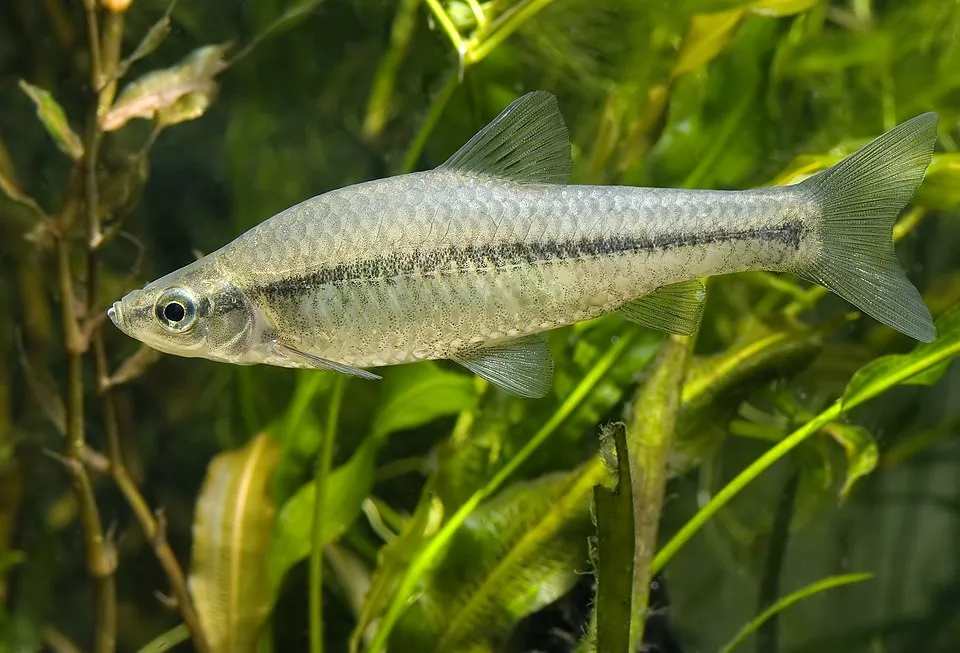 Topmouth gudgeonEU
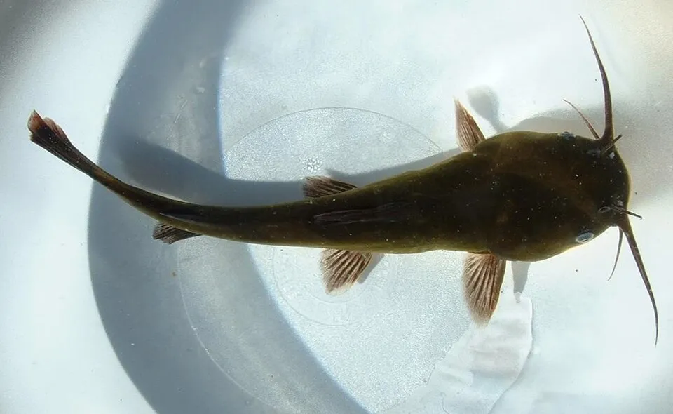 Black bullheadEU
 PumpkinseedEU
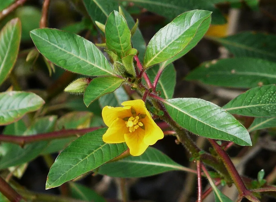 Floating primrose-willowEU
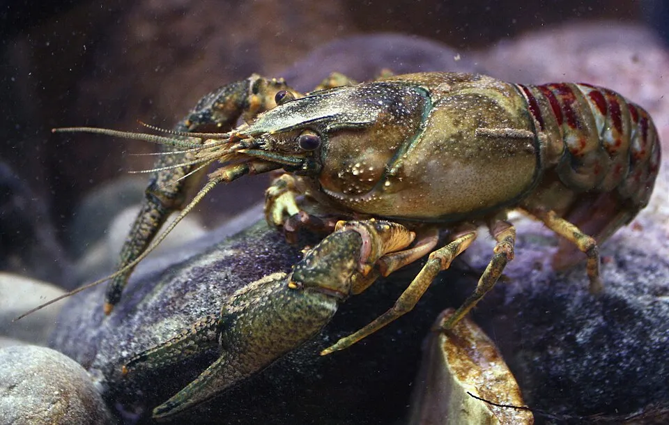 Spinycheek crayfishEU
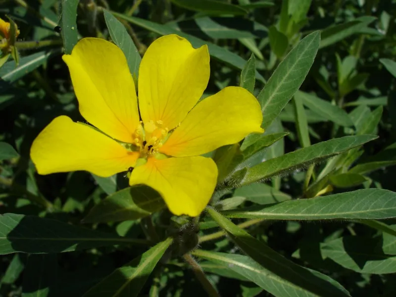 Water primroseEU
 CoypuEU
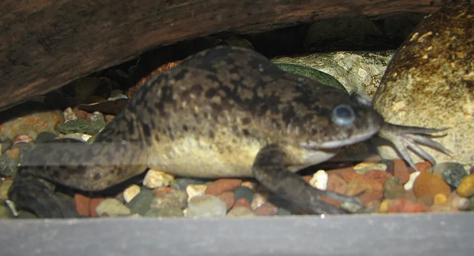 African Clawed FrogEU
Photos: Topmouth gudgeon © Seotaro, edited by Lycaon · CC BY-SA 3.0; Black bullhead © Jeffdelonge · CC BY-SA 3.0; Pumpkinseed © Cephas · CC BY-SA 3.0; Floating primrose-willow © Père Igor · CC BY-SA 3.0; Spinycheek crayfish © Astacoides · CC BY-SA 3.0; Water primrose © Bouba · CC BY-SA 3.0; Coypu © Philippe Amelant · CC BY-SA 3.0; African Clawed Frog © Ltshears · Public domain
Sources: Global Forest Change (Hansen et al., University of Maryland, via Global Forest Watch, CC-BY 4.0); EFFIS, European Commission / Copernicus; NASA Black Marble 2016 (public domain); CORINE Land Cover 2018 (Copernicus) or MODIS.
CORINE Land Cover Change 1990–2018: generated using European Union's Copernicus Land Monitoring Service information (EEA), aggregated by Parkavela; DOI 10.2909/f30f1000-7cf8-43bb-872c-5eb093911b24.
Ecological status of water bodies: European Environment Agency, WISE – Water Framework Directive, 3rd river basin management plans (2022), CC BY 4.0. Official national classification, not comparable between countries.
Invasive alien species: Global Register of Introduced and Invasive Species (ISSG, CC BY 4.0); Union list, Regulation (EU) 1143/2014 (INBO, CC0); GBIF.org records (CC0 / CC BY 4.0), at least 2 per species.
Practical information
Cities and airport
- Angers
8 km as the crow flies - Tours
10 km as the crow flies - Airport: Tours Val de Loire (TUF)
14 km as the crow flies
Visitor information
- La Maison du Parc
within the site - Bureau d'information de Gennes-Val-de-Loire
within the site - Office du tourisme de Fontevraud l'Abbaye
within the site - Office de tourisme de Richelieu
within the site
Things to see
52 viewpoints · 5 waterfalls · 106 lakes and ponds · 1,433 caves · 14 bird hides
- Panorama sur la confluence Loire Vienne
viewpoint · 87 m - Grand Étang
lake or pond - Ancien quartier troglodytique du Coteau Sainte-Radegonde
cave - Belvedère
viewpoint - La Casse-Maou
lake or pond
Where to stay
82 campsites
- Aire camping-cars de Concourson-sur-Layon
campsite - Aire camping-cars de Montreuil-Bellay
campsite - Aire de camping-cars de Continvoir
campsite - Aire de stationnement de camping-cars de La Chapelle sur Loire
campsite - Bivouac de Vienne
campsite
Hiking
146 waymarked routes listed, including:
GR 46GR 48 (323 km)Via Sancti MartiniDe la Manche aux PyrénéesLes Coteaux du Layon et de la LoirePays de la Castelvalérie
By bike
EV6 · 108 km V22 La Loire à Vélo · 351 kmV43 La Vélo Francette · 72 kmV44 Vélobuissonnière · 34 kmV49 La Cyclo Bohème · 20 km
+ 42 local loops
Signed cycle routes: this does not mean that cycling is allowed on footpaths.
Wheelchair access
- Office de Tourisme
visitor information - Office de tourisme Azay Chinon Val-de-Loire
visitor information · partial access
Reported by OpenStreetMap contributors (ODbL); check with the park before visiting.
Data © OpenStreetMap contributors (ODbL) · Wikidata (CC0)
Contains information from EuroVelo GPX tracks downloaded from www.EuroVelo.com on 2026-10-22, which is made available here under the Open Database License (ODbL). EuroVelo® is a registered trademark of the ECF. Routes © OpenStreetMap contributors (ODbL), via Waymarked Trails
Waymarked hiking routes
Via Sancti Martini - Chemin d'été de la Saint-Martin
82.7 km within the site ↗ 391 m↘ 417 m 24–117 m
De la Manche aux Pyrénées 08, Le Lude - Saumur
29.7 km within the site ↗ 163 m↘ 84 m 20–121 m
De la Manche aux Pyrénées 09, Saumur - Thouars
25.2 km within the site ↗ 30 m↘ 36 m 21–54 m
GR 48 De La Ribière à Chinon
31.2 km within the site ↗ 279 m↘ 252 m 30–119 m
Tracks © OpenStreetMap contributors (ODbL), clipped to the boundary; elevation gain and profiles computed on the longest section from Mapzen Terrain Tiles (≈ 30 m), indicative only.
Bathing
4 monitored bathing sites in or within 1 km of the site · 2025 classification
Excellent · 4
- Baignade Camping · river · Excellent
- Parc Capitaine · lake · Excellent
- Plan d'Eau de Fontaine-Guerin · lake · Excellent
- Plan d'Eau de Grezille · lake · Excellent
Source: European Environment Agency, official bathing water classification (Directive 2006/7/EC, CC-BY 4.0). Swimming is only permitted at the sites and times authorised locally.
Access and visiting
Montreuil-Bellay railway station lies within the site. Nearest towns of over 50,000 people, as the crow flies: Angers (8 km) and Tours (10 km). Nearest airport: Tours Val de Loire (TUF), about 14 km away. About 910,000 people live within 20 km of the site boundary, 520,000 of them within 10 km; some 200,000 people are estimated to live inside (GHSL estimate, 2020). This population has grown by about 5% since 2000. Visitor information on site: La Maison du Parc, Bureau d'information de Gennes-Val-de-Loire and Office du tourisme de Fontevraud l'Abbaye. Waymarked hiking routes listed in OpenStreetMap: 146, including GR 46, GR 48 (323 km), Via Sancti Martini and De la Manche aux Pyrénées. The EuroVelo 6 cycle route (Atlantic – Black Sea) crosses the site for about 108 km, mostly developed and signed; 12 other signed cycle routes also pass through, including “V22 La Loire à Vélo” and “V43 La Vélo Francette” (EuroVelo, OpenStreetMap). OpenStreetMap contributors list 2 wheelchair-accessible places, including Office de Tourisme; check with the park before visiting. To see: 52 viewpoints, 5 waterfalls, 106 lakes and ponds, 1,433 caves and 14 bird hides, including Panorama sur la confluence Loire Vienne (87 m), Grand Étang, Ancien quartier troglodytique du Coteau Sainte-Radegonde and Belvedère. Where to stay: 82 campsites, including Aire camping-cars de Concourson-sur-Layon, Aire camping-cars de Montreuil-Bellay and Aire de camping-cars de Continvoir. To plan a visit (access, opening periods, visitor rules), it is best to consult the official information from the managing body and the official website listed in this page's sources.
Source: OpenStreetMap (ODbL), Wikidata (CC0), October 2026.
Built heritage
According to the French Ministry of Culture's Mérimée database, 484 historic monuments stand within the boundary, 132 of them with the highest level of protection (classé). Among them are 193 houses and civic buildings, 155 religious buildings and 95 castles and fortifications. Notable classé monuments include “Allée couverte dite la Grande Pierre couverte” in Saumur, “Chapelle Notre-Dame de Pitié” in Fontevraud-l'Abbaye and “Château d'Ussé” in Rigny-Ussé.
193 houses and civic buildings155 religious buildings95 castles and fortifications21 prehistoric and archaeological sites18 bridges, lighthouses, mills and working buildings
-
Allée couverte dite la Grande Pierre couverte
Classé
Saumur · Prehistory -
Chapelle Notre-Dame de Pitié
Classé
Fontevraud-l'Abbaye · 16th c. -
Château d'Ussé
Classé
Rigny-Ussé · 15th c., 16th c., 17th c., 19th c. -
Hôpital Saint-Jean
Classé
Montreuil-Bellay · 15th c. -
Moulin à vent du Val Hulin
Classé
Turquant · 18th c. -
Nymphée gallo-romain (restes)
Classé
Gennes · Antiquity -
Dolmen de la Bajoulière
Classé
Saint-Rémy-la-Varenne · Prehistory -
Chapelle Saint-Jean
Classé
Saumur · 15th c.
and 476 more
Source: Mérimée database, French Ministry of Culture (Licence Ouverte 2.0). Each record links to the Plateforme ouverte du patrimoine (POP).
When to visit
Best time to visit: from April to September, with average temperatures of 11 to 21 °C and moderate rainfall. Day length ranges from about 8 h 30 min in December to 15 h 54 min in June. Wildlife records published on GBIF peak for birds (April and May), plants (from April to July), butterflies and moths (July and August), dragonflies (June and July) and mammals (July and August). These peaks also reflect when observers are most active.
Source: Copernicus ERA5-Land (C3S), monthly averages 1996–2025 at the representative point, temperatures adjusted for elevation.
Contains modified Copernicus Climate Change Service information 2026. Neither the European Commission nor ECMWF is responsible for any use that may be made of the Copernicus information or data it contains.
Wildlife records calendar
JFMAMJJASOND
Birds
Plants
Butterflies & moths
Dragonflies
Mammals
Monthly records published on GBIF (CC-BY), relative to the busiest month; also reflects observer activity.
Gallery
© Touriste · Public domain
© Myrabella · CC BY-SA 3.0
© Touriste · Public domain
© Philippe49730 · CC BY-SA 4.0
© Philippe49730 · CC BY-SA 4.0
Sources and licences
- Wikidata: Q1531999
- OpenStreetMap: relation 5340691
- Official website: http://www.parc-loire-anjou-touraine.fr/
- Wikipedia: fr.wikipedia.org/wiki/Parc_naturel_régional_Loire-Anjou-Touraine
- WDPA: 103149
References
- cds.climate.copernicus.eu: climate · CC-BY-4.0
- registry.opendata.aws: elevation of the reference point, detailed relief · PD
- land.copernicus.eu: land cover, land cover change, sea share · COPERNICUS
- doi.org: population around the site · CC-BY-4.0
- wikidata.org: official area, establishment date, nearby cities and airport, access and peaks, lake depths, places to see, official website · CC0-1.0
- eea.europa.eu: bathing water quality, ecological status of waters · CC-BY-4.0
- en.eurovelo.com: EuroVelo cycle routes · ODbL-1.0
- cycling.waymarkedtrails.org: cycle routes · ODbL-1.0
- opentopodata.org: elevations · PD
- forest-fire.emergency.copernicus.eu: wildfires · COPERNICUS
- globalforestwatch.org: tree cover loss · CC-BY-4.0
- gbif.org: seasonality of sightings, invasive alien species, observed species · CC-BY-4.0
- infoterre.brgm.fr: geology · LO-2.0
- pop.culture.gouv.fr: protected heritage · LO-2.0
- hydrosheds.org: lakes · CC-BY-4.0
- natura2000.eea.europa.eu: Natura 2000 habitats and species · CC-BY-4.0
- openstreetmap.org: official name, access and peaks, places to see, wheelchair access · ODbL-1.0
- earthobservatory.nasa.gov: night light · PD
- hiking.waymarkedtrails.org: route difficulty · ODbL-1.0
- nsidc.org: snow cover · PD
- wikidata.org: Wikipedia article · CC-BY-SA-4.0
Data © OpenStreetMap contributors (ODbL), Wikidata (CC0) and the sources cited.