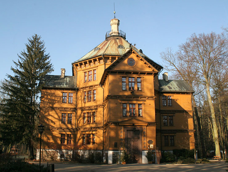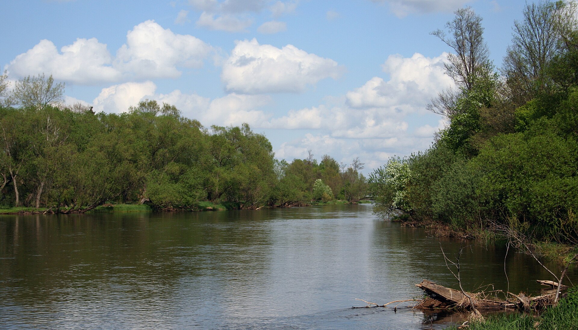
Poland · Terrestrial
Załęcze Landscape Park
Landscape park of 14,750 hectares in Poland, established in 1978.
Overview
Landscape park of 14,750 hectares in Poland, established in 1978.
Załęcze Landscape Park is located in Poland (Europe). It is a predominantly terrestrial area. Established on 5 January 1978, it covers about 14,750 hectares.
Protections and designations
Natura 2000 · habitats (SAC)
- Załęczański Łuk Warty PLH100007
Protected as a landscape park. International labels and designations: Natura 2000 network (1 site: “Załęczański Łuk Warty”). Key dates: established in 1978 and first Natura 2000 site under the Habitats Directive in 2008.
In our collections
Timeline
-
1978
Established
-
2008
First Natura 2000 site under the Habitats Directive
Sources: Wikidata (CC0) for establishment and international labels; EEA Natura 2000 database (CC-BY 4.0) for site designation dates.
Frequently asked questions
Where is Załęcze Landscape Park?
In Poland (Europe). Representative point: 51.0824° N, 18.7639° E.
How large is Załęcze Landscape Park?
About 14,750 hectares (148 km²). It is the 71st largest of the 121 landscape parks in Poland covered by Parkavela.
When was Załęcze Landscape Park established?
On 5 January 1978.
What habitats and landscapes does Załęcze Landscape Park include?
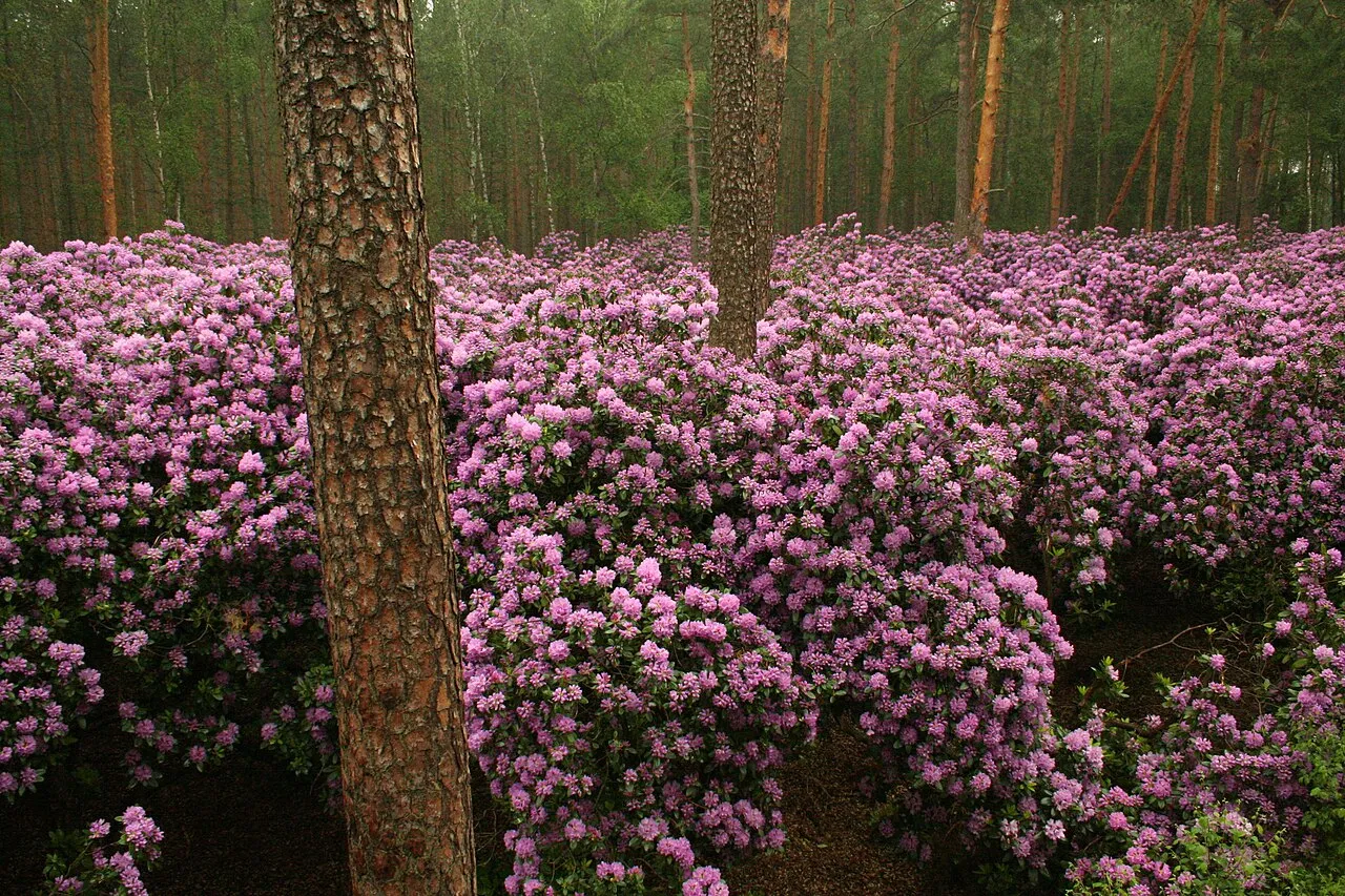
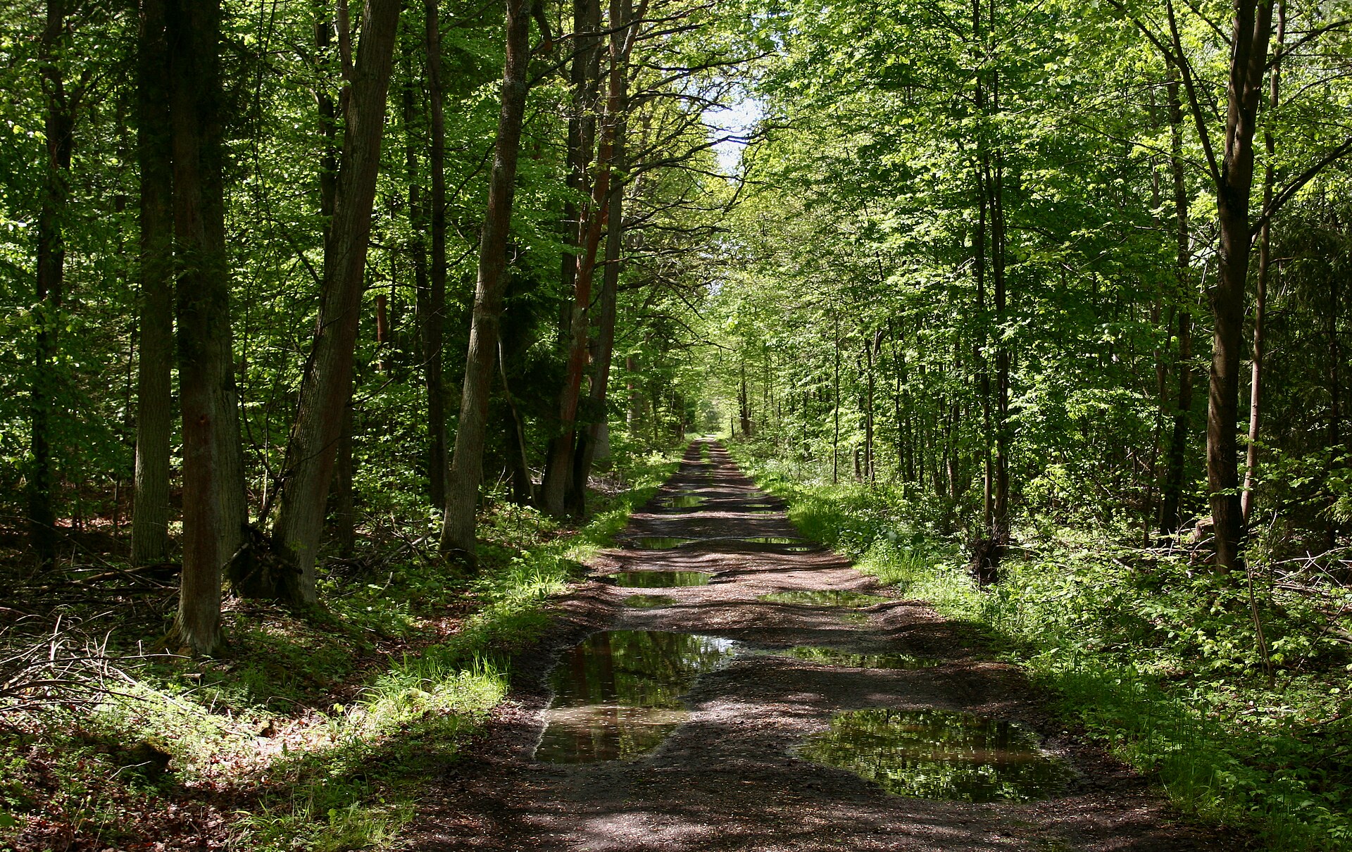
A terrestrial area, with forests.
What rocks lie beneath Załęcze Landscape Park?
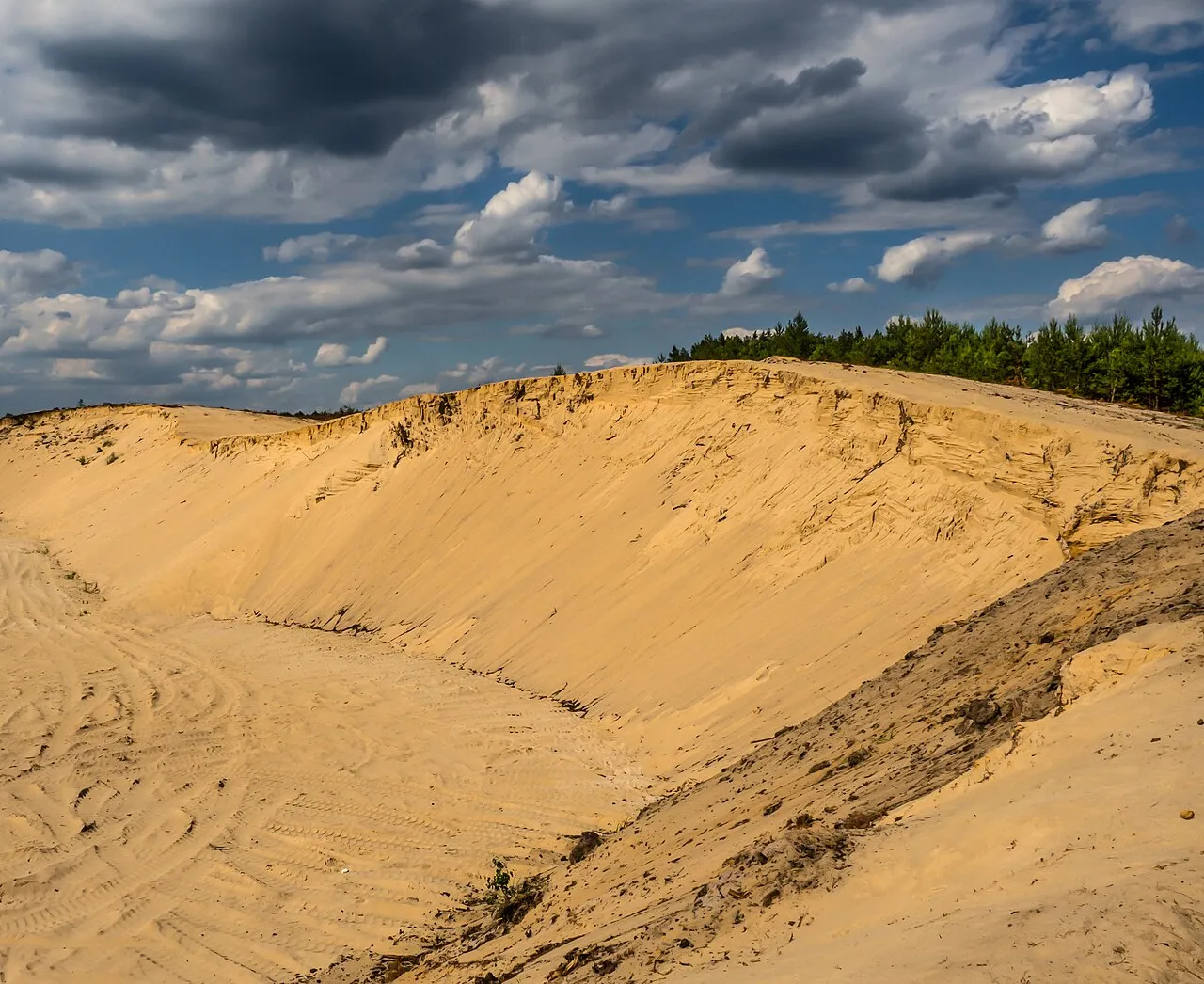
According to the European 1:1 million geological map (EGDI), the bedrock consists mainly of sands and gravels (94% of sampled points). These are mostly sedimentary rocks. The geological units date mainly from the Quaternary (100% of sampled points).
What is the highest point of Załęcze Landscape Park?
Zelce, at 229 m (OpenStreetMap).
What are the main summits of Załęcze Landscape Park?
Zelce (229 m), Sosnowa Góra (206 m) and Góra Świętej Genowefy (200 m) (OpenStreetMap).
Which international labels apply to Załęcze Landscape Park?
Natura 2000 network (1 site: “Załęczański Łuk Warty”).
When is the best time to visit Załęcze Landscape Park?
Mildest period: from June to August, with average temperatures of 18 to 20 °C.
Is there snow in Załęcze Landscape Park?
Yes. According to NASA's MODIS satellites (2015–2025 average), snow covers most of the site in January, with about 40 snow-covered days a year on average.
What is there to see in Załęcze Landscape Park?
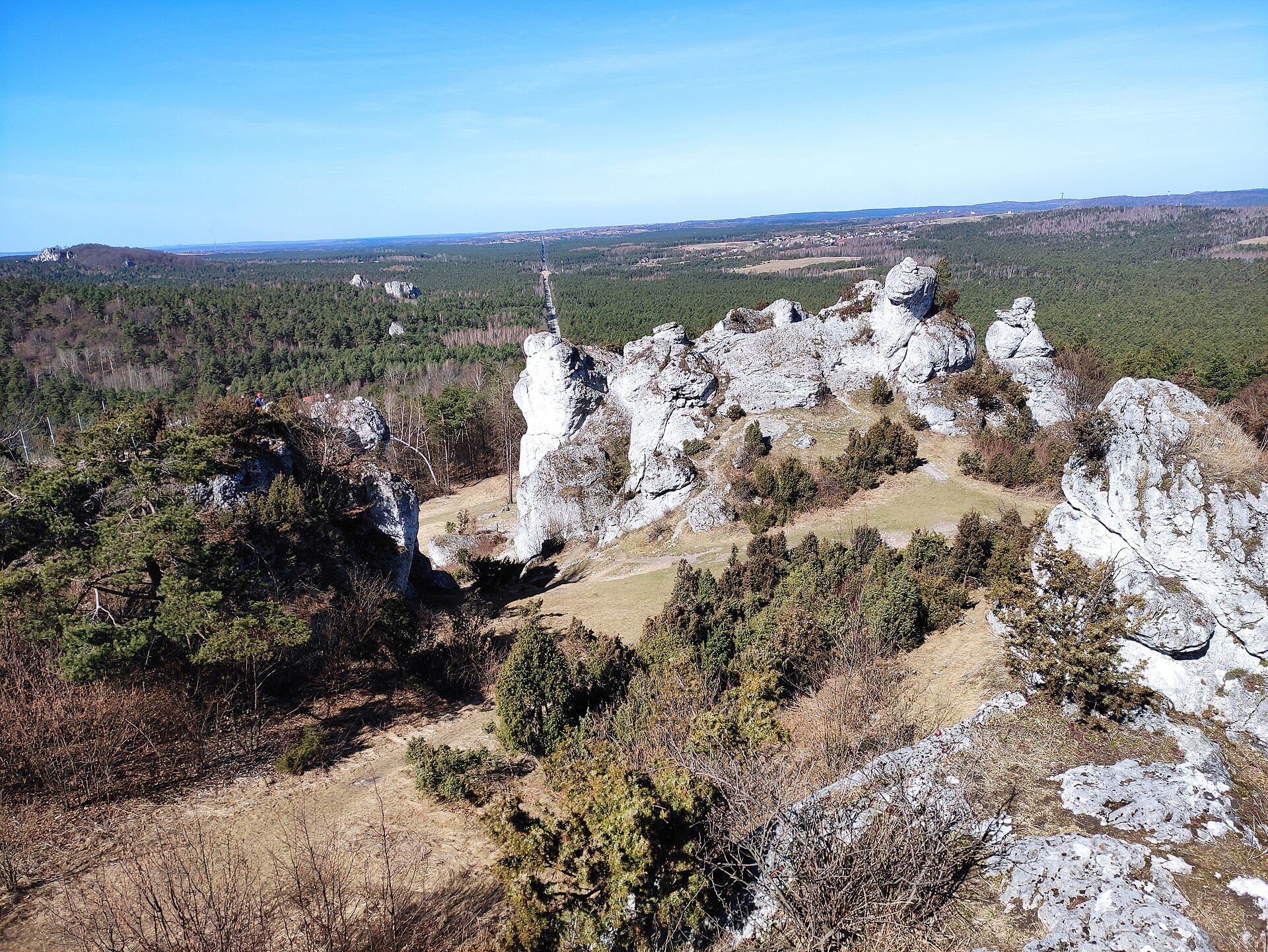
5 viewpoints, 1 lake or pond and 7 caves, including Użytek Ekologiczny "Wronia Woda", Żabi Staw, Jaskinia Draba and Jaskinia Mała (OpenStreetMap).
Are there historic monuments in Załęcze Landscape Park?
Yes. According to Wikidata, 3 monuments listed in the Polish register of monuments stand within the boundary. For example: “Chapel in Kamion” in Kamion, “Młyn wodno-elektryczny w Kępowiznie” in Kępowizna and “Watermill in Kochlew” in Kochlew.
What is the nearest large city to Załęcze Landscape Park?
Nearest towns of over 50,000 people, as the crow flies: Częstochowa (37 km) and Bełchatów (45 km). Nearest airport: Katowice (KTW), about 67 km away.
How can I reach Załęcze Landscape Park by train?
The nearest railway station is Janinów, less than 1 km from the site boundary.
Where can I get visitor information on site?
Punkt informacji turystycznej.
Are there waymarked hiking trails in Załęcze Landscape Park?
Yes. Waymarked hiking routes listed in OpenStreetMap: 5, including Szlak Jury Wieluńskiej, Szlak Przełomu Warty przez Wyżynę wieluńską and Szlak Rezerwatów Przyrody. The “Szlak Jury Wieluńskiej” route runs for about 21 km through the site, with some 110 m of ascent on its longest section.
Which species can be seen in Załęcze Landscape Park?
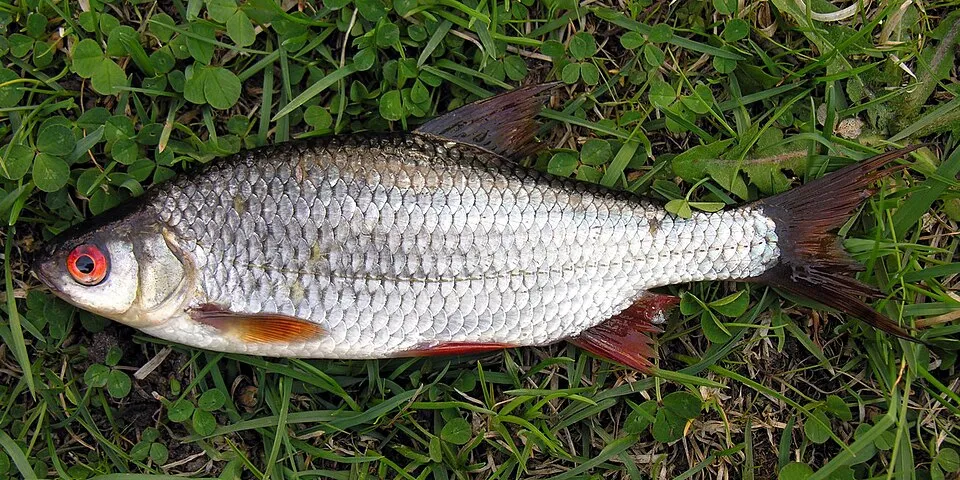
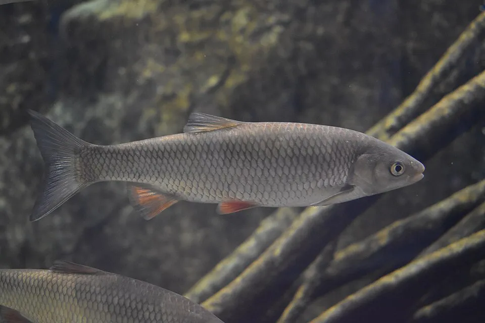
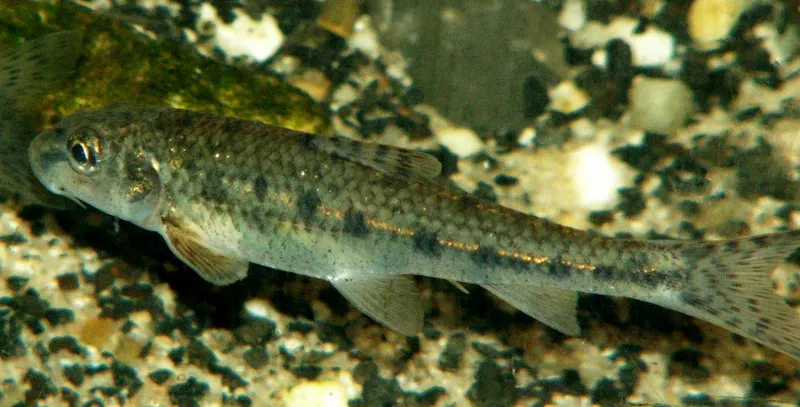
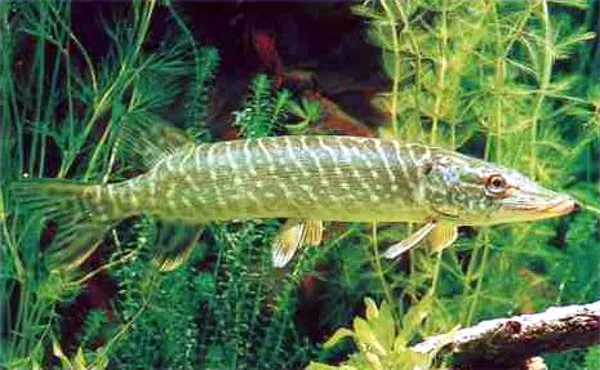
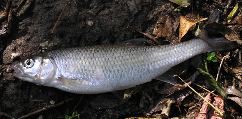
Among the species most often recorded on GBIF are Rutilus rutilus (Roach), Squalius cephalus (Chub), Gobio gobio (Gudgeon) and Esox lucius (Pike).
© OpenStreetMap
Download the boundary: GeoJSON · GPX Boundary © OpenStreetMap contributors (ODbL).
Geography
The representative point of the site lies at around 213 m above sea level. Over the 1996–2025 period, the mean annual temperature is about 9.3 °C and total precipitation reaches roughly 747 mm per year. The warmest month is usually July, the coolest January, and the wettest July. According to the European 1:1 million geological map (EGDI), the bedrock consists mainly of sands and gravels (94% of sampled points). These are mostly sedimentary rocks. The geological units date mainly from the Quaternary (100% of sampled points).
Area
- Area
- 14,750 ha
- Elevation
- 213 m
- Snow cover
- ≈ 40 days a year
- Coordinates
- 51.0824, 18.7639
Bedrock
- Sands and gravels 94 %
- Glacial deposits 6 %
Sedimentary rocks 100 % · Main age: Quaternary (100%)
Source: EGDI 1:1M geological map (EuroGeoSurveys and national geological surveys), CC BY 4.0 · 16 sampled points within the site.
Main summits
- Zelce229 m
- Sosnowa Góra206 m
- Góra Świętej Genowefy200 m
Data © OpenStreetMap contributors (ODbL)
Climate
● Mean temperature (°C) · ▮ Precipitation (mm)
Source: Copernicus ERA5-Land (C3S, doi:10.24381/cds.68d2bb30), monthly averages 1996–2025 interpolated to the representative point, temperatures adjusted for elevation.
Contains modified Copernicus Climate Change Service information 2026. Neither the European Commission nor ECMWF is responsible for any use that may be made of the Copernicus information or data it contains.
Snow cover measured by satellite
J
F
M
A
M
J
J
A
S
O
N
D
average share of the site under snow · snowiest parts · ≈ 40 days a year
Snow cover: MODIS/Terra MOD10CM v61 (Hall & Riggs, 2021, NASA NSIDC DAAC, doi:10.5067/MODIS/MOD10CM.061), imagery from NASA GIBS (ESDIS); 2015–2025 average, grid of about 5 km.
Natural habitats
According to CORINE Land Cover (2018), the site is mainly made up of forests (58%) and farmland (36%). Woodland is mostly coniferous. Elevation ranges from about 170 m to 229 m (highest point: Zelce). The Natura 2000 site overlapping the area lists 8 habitats of European interest (3 priority), the most extensive being old acidophilous oak woods with Quercus robur on sandy plains, Euro-Siberian steppic woods with Quercus spp. and alluvial forests with Alnus glutinosa and Fraxinus excelsior (Alno-Padion, Alnion incanae, Salicion albae).
Biodiversity
Based on occurrences aggregated by GBIF, several species are regularly recorded within the site. Among the most frequent are Rutilus rutilus (Roach), Squalius cephalus (Chub), Gobio gobio (Gudgeon) and Esox lucius (Pike). The full list of documented taxa is shown below. The overlapping Natura 2000 site lists 16 species of European interest: 4 mammals, 2 amphibians, 8 fish, 1 invertebrate and 1 plant.
Habitats of European interest
From the official form of the Natura 2000 site overlapping the area (areas reported for the whole site).
- Old acidophilous oak woods with Quercus robur on sandy plains 145 ha
- Euro-Siberian steppic woods with Quercus spp. priority 30 ha
- Alluvial forests with Alnus glutinosa and Fraxinus excelsior (Alno-Padion, Alnion incanae, Salicion albae) priority 29 ha
- Natural eutrophic lakes with Magnopotamion or Hydrocharition-type vegetation 9 ha
- Semi-natural dry grasslands and scrubland facies on calcareous substrates (Festuco-Brometalia) (* important orchid sites) 3 ha
- Xeric sand calcareous grasslands priority 0 ha
- Calcareous rocky slopes with chasmophytic vegetation 0 ha
- Caves not open to the public
Species of European interest
Mammals · 4
Eurasian Beaver (Castor fiber), Eurasian otter (Lutra lutra), Bechstein's bat (Myotis bechsteinii), Greater mouse-eared bat (Myotis myotis)
Amphibians · 2
European fire-bellied toad (Bombina bombina), Great crested newt (Triturus cristatus)
Fish · 8
Asp (Aspius aspius), Barbel (Barbus barbus), Spined loach (Cobitis taenia), Ukrainian brook lamprey (Eudontomyzon mariae), European brook lamprey (Lampetra planeri), Weatherfish (Misgurnus fossilis), European bitterling (Rhodeus amarus), Golden Spined Loach (Sabanejewia aurata)
Invertebrates · 1
Plants · 1
Adenophora lilifolia
Source: Natura 2000 standard data forms (EEA, CC-BY 4.0). Not exhaustive: sensitive species are not published.
Species to look out for

Observed species
Occurrences documented via GBIF; they are neither an exhaustive inventory nor proof of current presence.
- Roach · Rutilus rutilus · 15
- Chub · Squalius cephalus · 15
- Gudgeon · Gobio gobio · 15
- Pike · Esox lucius · 14
- Common dace · Leuciscus leuciscus · 14
- European perch · Perca fluviatilis · 14
- Burbot · Lota lota · 13
- Bleak · Alburnus alburnus · 11
- Silver Bream · Blicca bjoerkna · 10
- Common bream · Abramis brama · 10
- Stone loach · Barbatula barbatula · 9
- Common nase · Chondrostoma nasus · 8
+18 more species
- Barbel · Barbus barbus · 8
- European eel · Anguilla anguilla · 7
- Brown gooseberry scale · Eulecanium tiliae · 6
- Spirlin · Alburnoides bipunctatus · 5
- Common Kingfisher · Alcedo atthis · 5
- Hop · Humulus lupulus · 5
- Pine Jelly · Exidia saccharina · 4
- Ground-ivy · Glechoma hederacea · 4
- Red-backed Shrike · Lanius collurio · 4
- Eurasian Nuthatch · Sitta europaea · 3
- Eurasian Golden Oriole · Oriolus oriolus · 3
- Yellowhammer · Emberiza citrinella · 3
- Common Wood Pigeon · Columba palumbus · 3
- Eurasian Collared Dove · Streptopelia decaocto · 3
- Common Juniper · Juniperus communis · 3
- Small balsam · Impatiens parviflora · 3
- Narrowleaf lupine · Lupinus angustifolius · 3
- Ide · Leuciscus idus · 3
Records: GBIF.org (CC-BY). Names: Wikidata (CC0), GBIF. Photos: Wikimedia Commons.
Conservation challenges
The primary purpose of the site is to preserve its natural habitats and the biodiversity they support. The species recorded (Biodiversity tab) reflect its ecological value. The designations it holds frame its management and the control of land use.
According to Global Forest Change data (University of Maryland, Global Forest Watch), about 807 ha of tree cover were lost within the boundary between 2001 and 2023 (5% of its area), peaking in 2005 and 2010. These losses include logging, storms and fires, and do not account for regrowth. According to the European CORINE Land Cover inventory (Copernicus), land cover changed on about 145 ha of the site between 1990 and 2018 (1% of its area): farmland shrank by 145 ha, mostly giving way to forest, while forest grew by 145 ha, mostly at the expense of farmland. Forest felling and regrowth add about 880 ha in total over the period. At night, the area gives off virtually no artificial light detectable from space (NASA VIIRS Black Marble composite, 2016). Built-up and developed land (buildings, business areas, roads, quarries) covers 2% of the area, and farmland 36% (CORINE Land Cover). According to the Natura 2000 forms, of 7 assessed habitats of European interest, 3 are in average or reduced condition and the rest in good condition. According to the Water Framework Directive assessment (2022 river basin management plans, data 2014–2019), both rivers assessed within the site have moderate ecological status.
Pressure indicators
Tree cover lost
807 ha
2001–2023 · 5% of the area
20012023
Fires since 2016
0
No large fire mapped (fires over about 30 ha)
Light at night
0%
of the area gives off artificial light visible from space
DarkLit
Built-up land
2%
buildings, business areas, roads, quarries · farmland 36%
Land cover change
145 ha
changed cover, 1990–2018 · CORINE · 1% of the area
- −145 ha · farmland
- +145 ha · forest
forest felling and regrowth: 880 ha in total
Rivers and lakes
0%
of the 37 km of assessed rivers in good or high ecological status · WFD 2022
assessments 2014–2019
Invasive alien species
1
recorded since 2000
Sources: Global Forest Change (Hansen et al., University of Maryland, via Global Forest Watch, CC-BY 4.0); EFFIS, European Commission / Copernicus; NASA Black Marble 2016 (public domain); CORINE Land Cover 2018 (Copernicus) or MODIS.
CORINE Land Cover Change 1990–2018: generated using European Union's Copernicus Land Monitoring Service information (EEA), aggregated by Parkavela; DOI 10.2909/f30f1000-7cf8-43bb-872c-5eb093911b24.
Ecological status of water bodies: European Environment Agency, WISE – Water Framework Directive, 3rd river basin management plans (2022), CC BY 4.0. Official national classification, not comparable between countries.
Invasive alien species: Global Register of Introduced and Invasive Species (ISSG, CC BY 4.0); Union list, Regulation (EU) 1143/2014 (INBO, CC0); GBIF.org records (CC0 / CC BY 4.0), at least 2 per species.
Practical information
Cities and airport
- Częstochowa
37 km as the crow flies - Bełchatów
45 km as the crow flies - Airport: Katowice (KTW)
67 km as the crow flies
Visitor information
- Punkt informacji turystycznej
2 km from the site boundary
Things to see
5 viewpoints · 1 lake or pond · 7 caves
- Użytek Ekologiczny "Wronia Woda"
viewpoint - Żabi Staw
lake or pond - Jaskinia Draba
cave - Jaskinia Mała
cave - Jaskinia Niespodzianka
cave
Hiking
5 waymarked routes listed, including:
Szlak Jury WieluńskiejSzlak Przełomu Warty przez Wyżynę wieluńskąSzlak Rezerwatów Przyrody
By bike
Nadwarciański Szlak Bursztynowy · 26 km
+ 4 local loops
Signed cycle routes: this does not mean that cycling is allowed on footpaths.
Data © OpenStreetMap contributors (ODbL) · Wikidata (CC0)
Routes © OpenStreetMap contributors (ODbL), via Waymarked Trails
Waymarked hiking routes
Szlak Przełomu Warty przez Wyżynę wieluńską
16.9 km within the site ↗ 91 m↘ 108 m 162–208 m
Tracks © OpenStreetMap contributors (ODbL), clipped to the boundary; elevation gain and profiles computed on the longest section from Mapzen Terrain Tiles (≈ 30 m), indicative only.
Access and visiting
The nearest railway station is Janinów, less than 1 km from the site boundary. Nearest towns of over 50,000 people, as the crow flies: Częstochowa (37 km) and Bełchatów (45 km). Nearest airport: Katowice (KTW), about 67 km away. About 190,000 people live within 20 km of the site boundary, 70,000 of them within 10 km; some 5,300 people are estimated to live inside (GHSL estimate, 2020). This population has fallen by about 5% since 2000. Visitor information on site: Punkt informacji turystycznej. Waymarked hiking routes listed in OpenStreetMap: 5, including Szlak Jury Wieluńskiej, Szlak Przełomu Warty przez Wyżynę wieluńską and Szlak Rezerwatów Przyrody. A signed cycle route crosses the site: “Nadwarciański Szlak Bursztynowy” (OpenStreetMap). To see: 5 viewpoints, 1 lake or pond and 7 caves, including Użytek Ekologiczny "Wronia Woda", Żabi Staw, Jaskinia Draba and Jaskinia Mała. To plan a visit (access, opening periods, visitor rules), it is best to consult the official information from the managing body and the official website listed in this page's sources.
Source: OpenStreetMap (ODbL), Wikidata (CC0), October 2026.
Built heritage
According to Wikidata, 3 monuments listed in the Polish register of monuments stand within the boundary. Examples include “Chapel in Kamion” in Kamion, “Młyn wodno-elektryczny w Kępowiznie” in Kępowizna and “Watermill in Kochlew” in Kochlew.
2 bridges, lighthouses, mills and working buildings1 religious building
-
Chapel in Kamion
Kamion · 18th c. -
Młyn wodno-elektryczny w Kępowiznie
Kępowizna -
Watermill in Kochlew
Kochlew · 20th c.
Source: Wikidata (CC0), monuments in each country’s official heritage protection registers, at national or regional level. Each item links to its Wikidata entry.
When to visit
Mildest period: from June to August, with average temperatures of 18 to 20 °C. Average temperatures drop below 0 °C in January: frost is common. Precipitation peaks in July (up to 110 mm per month). According to NASA's MODIS satellites (2015–2025 average), snow covers most of the site in January, with about 40 snow-covered days a year on average. Day length ranges from about 7 h 55 min in December to 16 h 32 min in June. Wildlife records published on GBIF peak for birds (May), plants (June) and butterflies and moths (August). These peaks also reflect when observers are most active.
Source: Copernicus ERA5-Land (C3S), monthly averages 1996–2025 at the representative point, temperatures adjusted for elevation.
Contains modified Copernicus Climate Change Service information 2026. Neither the European Commission nor ECMWF is responsible for any use that may be made of the Copernicus information or data it contains.
Wildlife records calendar
JFMAMJJASOND
Birds
Plants
Butterflies & moths
Monthly records published on GBIF (CC-BY), relative to the busiest month; also reflects observer activity.
Gallery
© Przykuta · CC BY 3.0
© Xanes · CC BY-SA 3.0
© zdjęcie z Wyżyny Krakowsko-Częstochowskiej wykonane w trakcie Wikiekspedycji Mini Jura 2011 wspieranej finansowo przez Stowarzyszenie Wikimedia Polska.Wszystkie zdjęcia z wyprawy możesz zobaczyć w kategorii Wikiekspedycja 2011 Mini Jura. · CC BY 3.0
© Jakub70 · CC BY-SA 4.0
© zdjęcie z Wyżyny Krakowsko-Częstochowskiej wykonane w trakcie Wikiekspedycji Mini Jura 2011 wspieranej finansowo przez Stowarzyszenie Wikimedia Polska.Wszystkie zdjęcia z wyprawy możesz zobaczyć w kategorii Wikiekspedycja 2011 Mini Jura. · CC BY 3.0
© MOs810 · CC BY-SA 4.0
Sources and licences
- Wikidata: Q570361
- OpenStreetMap: relation 4524346
- Wikipedia: en.wikipedia.org/wiki/Załęcze_Landscape_Park
- WDPA: 11464
References
- cds.climate.copernicus.eu: climate · CC-BY-4.0
- registry.opendata.aws: elevation of the reference point, detailed relief · PD
- land.copernicus.eu: land cover, land cover change, sea share · COPERNICUS
- doi.org: population around the site · CC-BY-4.0
- wikidata.org: official area, establishment date, protected heritage, nearby cities and airport, access and peaks, lake depths, places to see · CC0-1.0
- eea.europa.eu: bathing water quality, ecological status of waters · CC-BY-4.0
- en.eurovelo.com: EuroVelo cycle routes · ODbL-1.0
- cycling.waymarkedtrails.org: cycle routes · ODbL-1.0
- opentopodata.org: elevations · PD
- forest-fire.emergency.copernicus.eu: wildfires · COPERNICUS
- globalforestwatch.org: tree cover loss · CC-BY-4.0
- gbif.org: seasonality of sightings, invasive alien species, observed species · CC-BY-4.0
- europe-geology.eu: geology · CC-BY-4.0
- hydrosheds.org: lakes · CC-BY-4.0
- natura2000.eea.europa.eu: Natura 2000 habitats and species · CC-BY-4.0
- openstreetmap.org: official name, access and peaks, places to see · ODbL-1.0
- earthobservatory.nasa.gov: night light · PD
- hiking.waymarkedtrails.org: route difficulty · ODbL-1.0
- nsidc.org: snow cover · PD
- wikidata.org: Wikipedia article · CC-BY-SA-4.0
Data © OpenStreetMap contributors (ODbL), Wikidata (CC0) and the sources cited.