
Poland · Terrestrial
Eagles' Nests Landscape Park
Landscape park of 60,807 hectares in Poland, established in 1980.
Overview
Landscape park of 60,807 hectares in Poland, established in 1980.
Eagles' Nests Landscape Park is located in Poland (Europe). It is a predominantly terrestrial area. Established in 1980, it covers about 60,807 hectares.
Protections and designations
Natura 2000 · habitats (SAC) · 9 sites
- Dolina Białej Przemszy PLH240038
- Jaroszowiec PLH120006
- Michałowiec PLH120011
- Ostoja Kroczycka PLH240032
- Ostoja Olsztyńsko-Mirowska PLH240015
- Ostoja Środkowojurajska PLH240009
- and 3 more
Protected as a landscape park. International labels and designations: Natura 2000 network (9 sites). Key dates: established in 1980 and first Natura 2000 site under the Habitats Directive in 2008.
In our collections
Timeline
-
1980
Established
-
2008
First Natura 2000 site under the Habitats Directive 9 such sites designated up to 2011
Sources: Wikidata (CC0) for establishment and international labels; EEA Natura 2000 database (CC-BY 4.0) for site designation dates.
Frequently asked questions
Where is Eagles' Nests Landscape Park?
In Poland (Europe). Representative point: 50.6050° N, 19.4850° E.
How large is Eagles' Nests Landscape Park?
About 60,807 hectares (608 km²). It is the 5th largest of the 121 landscape parks in Poland covered by Parkavela.
When was Eagles' Nests Landscape Park established?
In 1980.
What habitats and landscapes does Eagles' Nests Landscape Park include?
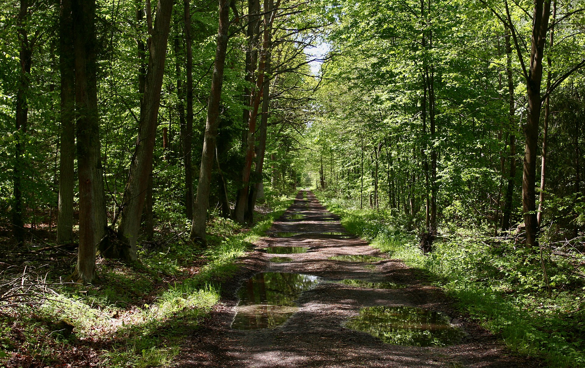
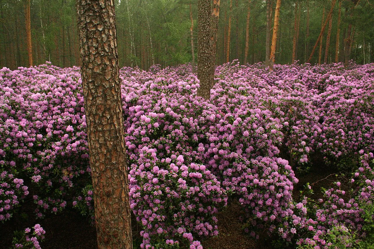
A terrestrial area, with forests.
What rocks lie beneath Eagles' Nests Landscape Park?
According to the European 1:1 million geological map (EGDI), the bedrock consists mainly of sands and gravels (86% of sampled points) and glacial deposits (14%). These are mostly sedimentary rocks. The geological units date mainly from the Quaternary (100% of sampled points).
What is the highest point of Eagles' Nests Landscape Park?
Góra Zamkowa, at 516 m (OpenStreetMap).
What are the main summits of Eagles' Nests Landscape Park?
Góra Zamkowa (516 m), Świniuszka (488 m), Grodzisko Pańskie (485 m), Góra Zborów (468 m) and Podgórze (455 m) (OpenStreetMap).
Which international labels apply to Eagles' Nests Landscape Park?
Natura 2000 network (9 sites).
When is the best time to visit Eagles' Nests Landscape Park?
Mildest period: from June to August, with average temperatures of 17 to 19 °C.
Is there snow in Eagles' Nests Landscape Park?
Yes. According to NASA's MODIS satellites (2015–2025 average), snow covers most of the site in January, with about 45 snow-covered days a year on average.
What is there to see in Eagles' Nests Landscape Park?
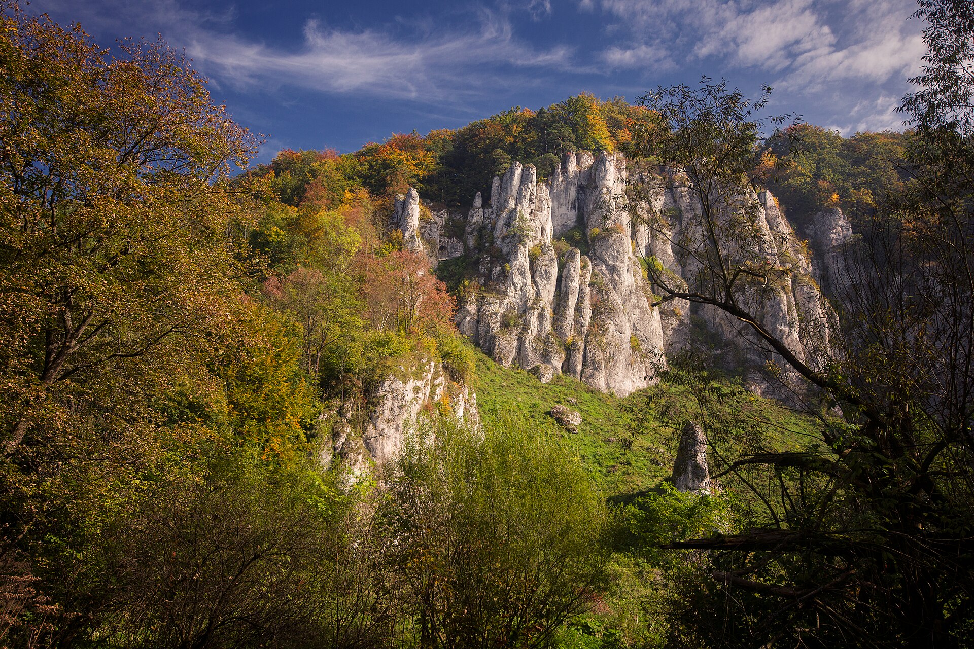
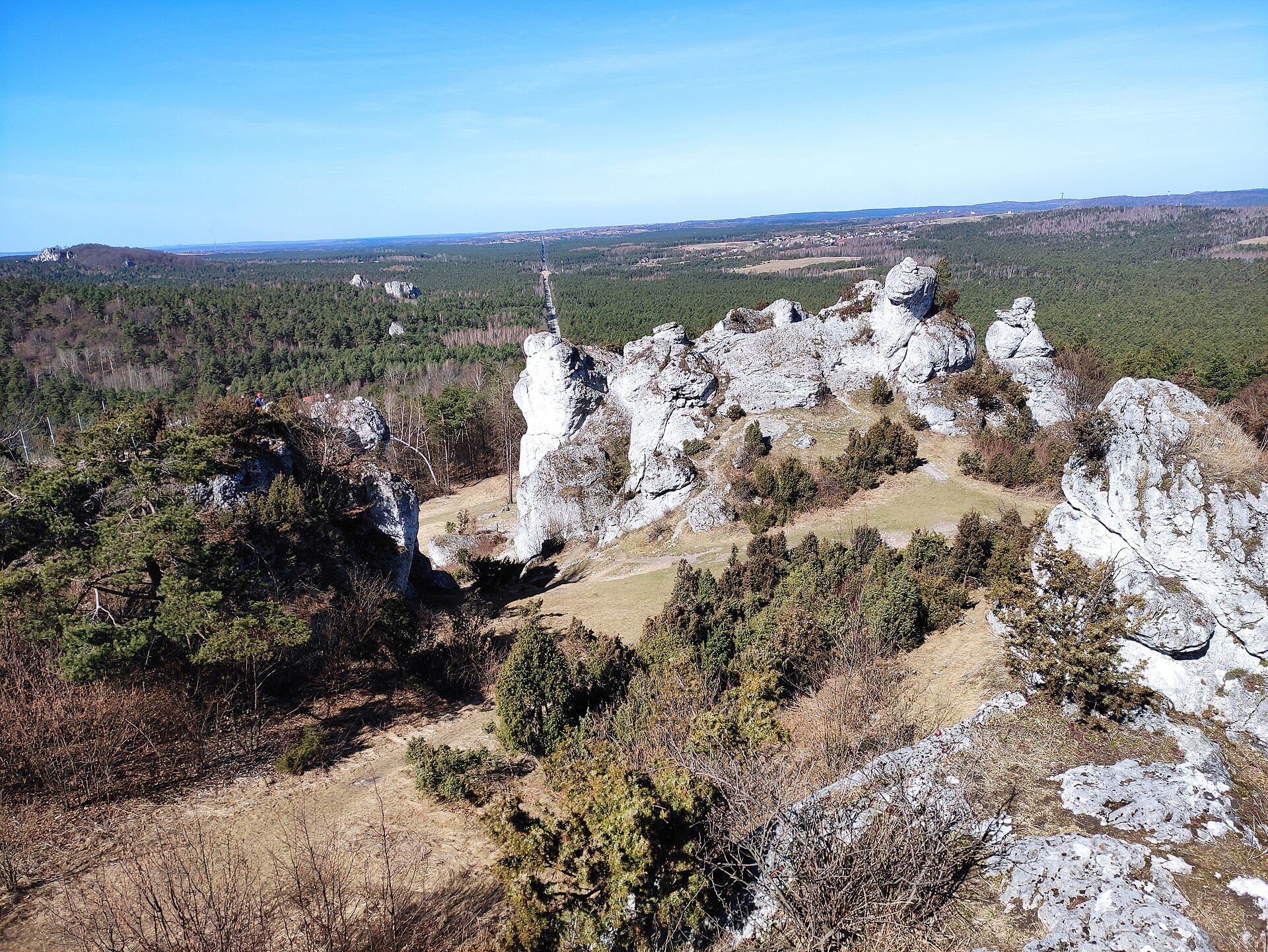
56 viewpoints, 11 lakes and ponds, 1 natural arch and 182 caves, including Dupnica (421 m), Amerykan, Okiennik and Schronisko w Kniei (357 m) (OpenStreetMap).
Where can I stay in Eagles' Nests Landscape Park?
15 campsites, including Baza Obozowa Hufca ZHP, Biwak 4x4 and Małe Dolomity (OpenStreetMap).
Are there historic monuments in Eagles' Nests Landscape Park?
Yes. According to Wikidata, 74 monuments listed in the Polish register of monuments stand within the boundary. For example: “Cmentarz katolicki w Żarkach” in Żarki, “Tower, Olsztyn” in Olsztyn and “Dwór w Porębie Dzierżnej” in Poręba Dzierżna.
What is the nearest large city to Eagles' Nests Landscape Park?
Nearest towns of over 50,000 people, as the crow flies: Częstochowa (6 km) and Dąbrowa Górnicza (17 km). Nearest airport: Katowice (KTW), about 26 km away.
How can I reach Eagles' Nests Landscape Park by train?
Jaroszowiec Olkuski railway station lies within the site.
Where can I get visitor information on site?
Informacja turystyczna, Informacja Turystyczna w Siedlcu and Miejsko - Gminny Ośrodek Kulturalny w Żarkach.
Are there waymarked hiking trails in Eagles' Nests Landscape Park?
Yes. Waymarked hiking routes listed in OpenStreetMap: 43, including Szlak Maryjny, Warszawska Droga św. Jakuba, Łowicka Piesza Pielgrzymka na Jasną Górę and Szlak dojściowy Rez. Pazurek parking. The “M02-03 · Szlak Maryjny - etap 12.” route runs for about 24 km through the site, with some 170 m of ascent on its longest section.
Which species can be seen in Eagles' Nests Landscape Park?
Among the species most often recorded on GBIF are Parus major (Great tit), Fringilla coelebs (Eurasian Chaffinch), Turdus merula (Common Blackbird) and Alauda arvensis (Eurasian Skylark).
© OpenStreetMap
Download the boundary: GeoJSON · GPX Boundary © OpenStreetMap contributors (ODbL).
Geography
The representative point of the site lies at around 382 m above sea level. Over the 1996–2025 period, the mean annual temperature is about 8.4 °C and total precipitation reaches roughly 817 mm per year. The warmest month is usually July, the coolest January, and the wettest July. According to the European 1:1 million geological map (EGDI), the bedrock consists mainly of sands and gravels (86% of sampled points) and glacial deposits (14%). These are mostly sedimentary rocks. The geological units date mainly from the Quaternary (100% of sampled points).
Area
- Area
- 60,807 ha
- Elevation
- 382 m
- Snow cover
- ≈ 45 days a year
- Coordinates
- 50.605, 19.485
Bedrock
- Sands and gravels 86 %
- Glacial deposits 14 %
Sedimentary rocks 100 % · Main age: Quaternary (100%)
Source: EGDI 1:1M geological map (EuroGeoSurveys and national geological surveys), CC BY 4.0 · 7 sampled points within the site.
Main summits
- Góra Zamkowa516 m
- Świniuszka488 m
- Grodzisko Pańskie485 m
- Góra Zborów468 m
- Podgórze455 m
- Apteka449 m
- Pod Wieżą447 m
- Syborowa445 m
- Januszówka445 m
- Ostra Góra437 m
Data © OpenStreetMap contributors (ODbL)
Climate
● Mean temperature (°C) · ▮ Precipitation (mm)
Source: Copernicus ERA5-Land (C3S, doi:10.24381/cds.68d2bb30), monthly averages 1996–2025 interpolated to the representative point, temperatures adjusted for elevation.
Contains modified Copernicus Climate Change Service information 2026. Neither the European Commission nor ECMWF is responsible for any use that may be made of the Copernicus information or data it contains.
Snow cover measured by satellite
J
F
M
A
M
J
J
A
S
O
N
D
average share of the site under snow · snowiest parts · ≈ 45 days a year
Snow cover: MODIS/Terra MOD10CM v61 (Hall & Riggs, 2021, NASA NSIDC DAAC, doi:10.5067/MODIS/MOD10CM.061), imagery from NASA GIBS (ESDIS); 2015–2025 average, grid of about 5 km.
Natural habitats
According to CORINE Land Cover (2018), the site is mainly made up of forests (50%), farmland (34%) and heath and scrub (5%). Woodland is mostly coniferous. Elevation ranges from about 270 m to 516 m (highest point: Góra Zamkowa). The 9 Natura 2000 sites overlapping the area list 20 habitats of European interest (4 priority), the most extensive being Luzulo-Fagetum beech forests, Asperulo-Fagetum beech forests and xeric sand calcareous grasslands.
Biodiversity
Based on occurrences aggregated by GBIF, several species are regularly recorded within the site. Among the most frequent are Parus major (Great tit), Fringilla coelebs (Eurasian Chaffinch), Turdus merula (Common Blackbird) and Alauda arvensis (Eurasian Skylark). The full list of documented taxa is shown below. The overlapping Natura 2000 sites list 21 species of European interest: 8 mammals, 2 amphibians, 2 fish, 4 invertebrates and 5 plants.
Habitats of European interest
From the official forms of the 9 Natura 2000 sites overlapping the area (areas reported for each whole site).
- Luzulo-Fagetum beech forests 1,012 ha
- Asperulo-Fagetum beech forests 952 ha
- Xeric sand calcareous grasslands priority 713 ha
- Inland dunes with open Corynephorus and Agrostis grasslands 712 ha
- Medio-European limestone beech forests of the Cephalanthero-Fagion 338 ha
- Galio-Carpinetum oak-hornbeam forests 295 ha
- Alluvial forests with Alnus glutinosa and Fraxinus excelsior (Alno-Padion, Alnion incanae, Salicion albae) priority 100 ha
- Old acidophilous oak woods with Quercus robur on sandy plains 66 ha
and 12 more
Species of European interest
Mammals · 8
Barbastelle (Barbastella barbastellus), Eurasian Beaver (Castor fiber), Eurasian otter (Lutra lutra), Bechstein's bat (Myotis bechsteinii), Pond bat (Myotis dasycneme), Geoffroy's bat (Myotis emarginatus), Greater mouse-eared bat (Myotis myotis), Lesser horseshoe bat (Rhinolophus hipposideros)
Amphibians · 2
European fire-bellied toad (Bombina bombina), Great crested newt (Triturus cristatus)
Invertebrates · 4
Greater Capricorn Beetle (Cerambyx cerdo), Dusky Large Blue (Maculinea nausithous), Scarce large blue (Maculinea teleius), Hermit beetle (Osmoderma eremita)
Plants · 5
Polish scurvy-grass (Cochlearia polonica), Lady's-slipper orchid (Cypripedium calceolus), Galium cracoviense, Hamatocaulis moss (Hamatocaulis vernicosus), Fen orchid (Liparis loeselii)
Source: Natura 2000 standard data forms (EEA, CC-BY 4.0). Not exhaustive: sensitive species are not published.
Species to look out for



Observed species
Occurrences documented via GBIF; they are neither an exhaustive inventory nor proof of current presence.
- Great tit · Parus major · 173
- Eurasian Chaffinch · Fringilla coelebs · 161
- Common Blackbird · Turdus merula · 157
- Eurasian Skylark · Alauda arvensis · 142
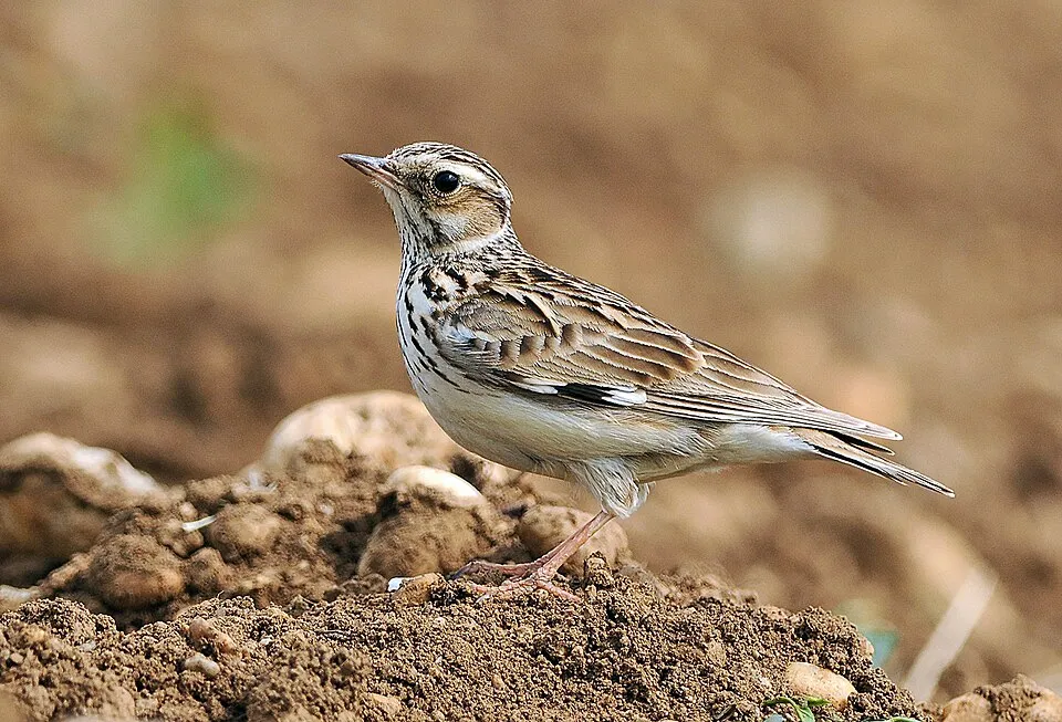
- Woodlark · Lullula arborea · 119
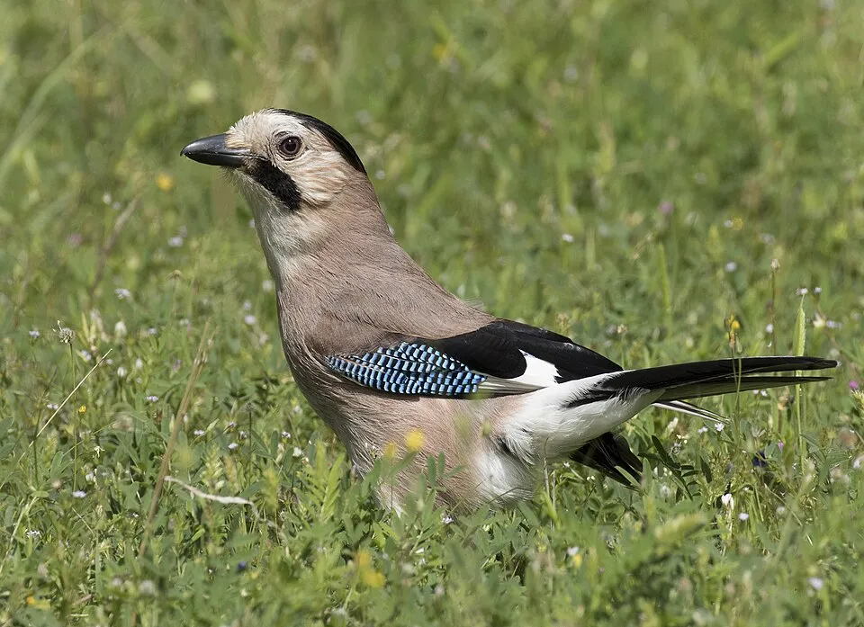
- Eurasian Jay · Garrulus glandarius · 119
- Great Spotted Woodpecker · Dendrocopos major · 117
- European robin · Erithacus rubecula · 102
- Common Wood Pigeon · Columba palumbus · 95
- Common Chiffchaff · Phylloscopus collybita · 93
- Song Thrush · Turdus philomelos · 90
- Tawny Pipit · Anthus campestris · 89
+18 more species
- Eurasian Blackcap · Sylvia atricapilla · 89
- European Crested Tit · Lophophanes cristatus · 87
- Eurasian blue tit · Cyanistes caeruleus · 82
- Coal tit · Periparus ater · 81
- Willow Warbler · Phylloscopus trochilus · 80
- Barn Swallow · Hirundo rustica · 77
- White Wagtail · Motacilla alba · 76
- Eurasian Nuthatch · Sitta europaea · 75
- Black Redstart · Phoenicurus ochruros · 72
- Common Buzzard · Buteo buteo · 68
- Common Redstart · Phoenicurus phoenicurus · 67
- Northern Raven · Corvus corax · 65
- Eurasian Hoopoe · Upupa epops · 65
- Eurasian Collared Dove · Streptopelia decaocto · 63
- Common Swift · Apus apus · 62
- Common Cuckoo · Cuculus canorus · 60
- Yellowhammer · Emberiza citrinella · 58
- Hawfinch · Coccothraustes coccothraustes · 52
Records: GBIF.org (CC-BY). Names: Wikidata (CC0), GBIF. Photos: Wikimedia Commons.
Conservation challenges
The primary purpose of the site is to preserve its natural habitats and the biodiversity they support. The species recorded (Biodiversity tab) reflect its ecological value. The designations it holds frame its management and the control of land use.
According to Global Forest Change data (University of Maryland, Global Forest Watch), about 2,950 ha of tree cover were lost within the boundary between 2001 and 2023 (5% of its area), peaking in 2010. These losses include logging, storms and fires, and do not account for regrowth. According to the European CORINE Land Cover inventory (Copernicus), land cover changed on about 2,170 ha of the site between 1990 and 2018 (3% of its area): forest grew by 1,554 ha, while farmland shrank by 924 ha, mostly giving way to forest. Forest felling and regrowth add about 3,200 ha in total over the period. At night, 5% of the area gives off artificial light detectable from space (NASA VIIRS Black Marble composite, 2016). Built-up and developed land (buildings, business areas, roads, quarries) covers 5% of the area, and farmland 34% (CORINE Land Cover). According to the Natura 2000 forms, of 19 assessed habitats of European interest, 5 are in excellent condition and 5 in average or reduced condition. According to the Water Framework Directive assessment (2022 river basin management plans, data 2014–2019), none of the 94 km of rivers assessed within the site reaches good ecological status; they mostly have poor ecological status. Since 2000, 11 invasive alien species have been recorded within the site (GBIF observations), one of them listed as of Union concern under EU Regulation 1143/2014. Among them: Impatiens glandulifera (Himalayan Balsam), Prunus serotina (Black cherry) and Lupinus polyphyllus (Large-leaved lupine).
Pressure indicators
Tree cover lost
2,949 ha
2001–2023 · 5% of the area
20012023
Fires since 2016
0
No large fire mapped (fires over about 30 ha)
Light at night
5%
of the area gives off artificial light visible from space
DarkLit
Built-up land
5%
buildings, business areas, roads, quarries · farmland 34%
Land cover change
2,170 ha
changed cover, 1990–2018 · CORINE · 3% of the area
- +1,554 ha · forest
- −924 ha · farmland
forest felling and regrowth: 3,200 ha in total
Rivers and lakes
0%
of the 94 km of assessed rivers in good or high ecological status · WFD 2022
assessments 2014–2019
Invasive alien species
11
incl. 1 of EU concern · since 2000
 Himalayan BalsamEU
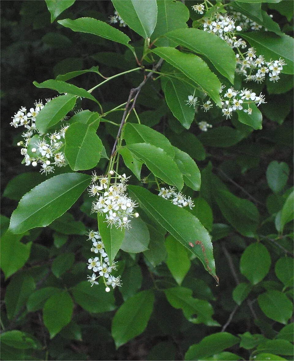 Black cherry
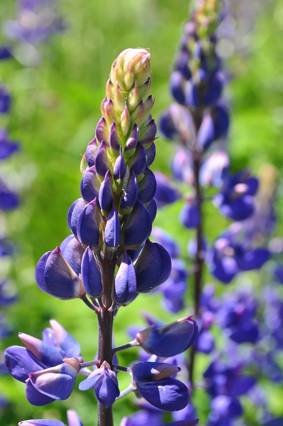 Large-leaved lupine
 Small balsam
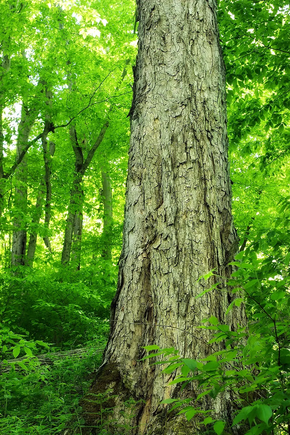 Northern red oak
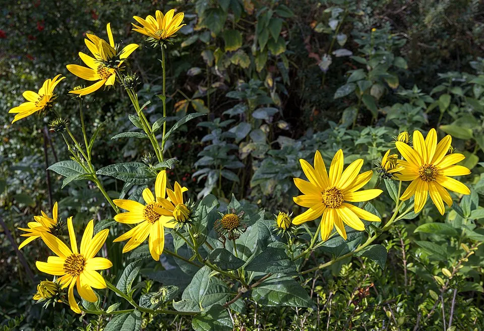 Jerusalem artichoke
 Japanese rose
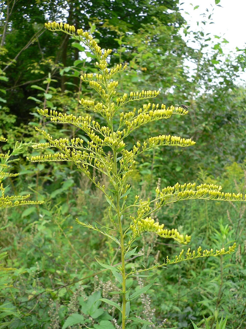 Canada goldenrod
Photos: Himalayan Balsam © Guptaele · CC BY-SA 4.0; Black cherry © Rasbak · CC BY-SA 3.0; Large-leaved lupine © Joe Mabel (on Flickr as Joe Mabel from Seattle, US) · CC BY-SA 3.0; Small balsam © André Karwath aka Aka · CC BY-SA 2.5; Northern red oak © Nicholas A. Tonelli from Northeast Pennsylvania, USA · CC BY 2.0; Jerusalem artichoke © JackyM59 · CC BY-SA 4.0; Japanese rose © Vihljun · Public domain; Canada goldenrod © Georg Slickers · CC BY-SA 4.0
Sources: Global Forest Change (Hansen et al., University of Maryland, via Global Forest Watch, CC-BY 4.0); EFFIS, European Commission / Copernicus; NASA Black Marble 2016 (public domain); CORINE Land Cover 2018 (Copernicus) or MODIS.
CORINE Land Cover Change 1990–2018: generated using European Union's Copernicus Land Monitoring Service information (EEA), aggregated by Parkavela; DOI 10.2909/f30f1000-7cf8-43bb-872c-5eb093911b24.
Ecological status of water bodies: European Environment Agency, WISE – Water Framework Directive, 3rd river basin management plans (2022), CC BY 4.0. Official national classification, not comparable between countries.
Invasive alien species: Global Register of Introduced and Invasive Species (ISSG, CC BY 4.0); Union list, Regulation (EU) 1143/2014 (INBO, CC0); GBIF.org records (CC0 / CC BY 4.0), at least 2 per species.
Practical information
Cities and airport
- Częstochowa
6 km as the crow flies - Dąbrowa Górnicza
17 km as the crow flies - Airport: Katowice (KTW)
26 km as the crow flies
Visitor information
- Informacja turystyczna
within the site - Informacja Turystyczna w Siedlcu
within the site - Miejsko - Gminny Ośrodek Kulturalny w Żarkach
within the site - Punkt Informacji Turystycznej w Olkuszu
2 km from the site boundary
Things to see
56 viewpoints · 11 lakes and ponds · 1 natural arch · 182 caves
- Dupnica
viewpoint · 421 m - Amerykan
lake or pond - Okiennik
natural arch - Schronisko w Kniei
cave · 357 m - Myślenica
viewpoint · 408 m
Where to stay
15 campsites
- Baza Obozowa Hufca ZHP
campsite - Biwak 4x4
campsite - Małe Dolomity
campsite - Osada Zborów
campsite - Ośrodek Obozów Harcerskich Hufca ZHP Sosnowiec w Kobylicy
campsite
Hiking
43 waymarked routes listed, including:
Szlak MaryjnyWarszawska Droga św. JakubaŁowicka Piesza Pielgrzymka na Jasną GóręSzlak dojściowy Rez. Pazurek parking
By bike
SOG Rowerowy Szlak Orlich Gniazd · 106 km595S Rudniki - Częstochowa-Raków PKP · 23 km600Y Olsztyn - Koniecpol · 22 kmVelo Przemsza · 18 km
+ 27 local loops
Signed cycle routes: this does not mean that cycling is allowed on footpaths.
Data © OpenStreetMap contributors (ODbL) · Wikidata (CC0)
Routes © OpenStreetMap contributors (ODbL), via Waymarked Trails
Waymarked hiking routes
Tracks © OpenStreetMap contributors (ODbL), clipped to the boundary; elevation gain and profiles computed on the longest section from Mapzen Terrain Tiles (≈ 30 m), indicative only.
Access and visiting
Jaroszowiec Olkuski railway station lies within the site. Nearest towns of over 50,000 people, as the crow flies: Częstochowa (6 km) and Dąbrowa Górnicza (17 km). Nearest airport: Katowice (KTW), about 26 km away. About 1.1 million people live within 20 km of the site boundary, 540,000 of them within 10 km; some 45,000 people are estimated to live inside (GHSL estimate, 2020). This population has fallen by about 7% since 2000. Visitor information on site: Informacja turystyczna, Informacja Turystyczna w Siedlcu and Miejsko - Gminny Ośrodek Kulturalny w Żarkach. Waymarked hiking routes listed in OpenStreetMap: 43, including Szlak Maryjny, Warszawska Droga św. Jakuba, Łowicka Piesza Pielgrzymka na Jasną Górę and Szlak dojściowy Rez. Pazurek parking. The site is crossed by 8 signed cycle routes, including “SOG Rowerowy Szlak Orlich Gniazd” and “595S Rudniki - Częstochowa-Raków PKP” (OpenStreetMap). To see: 56 viewpoints, 11 lakes and ponds, 1 natural arch and 182 caves, including Dupnica (421 m), Amerykan, Okiennik and Schronisko w Kniei (357 m). Where to stay: 15 campsites, including Baza Obozowa Hufca ZHP, Biwak 4x4 and Małe Dolomity. To plan a visit (access, opening periods, visitor rules), it is best to consult the official information from the managing body and the official website listed in this page's sources.
Source: OpenStreetMap (ODbL), Wikidata (CC0), October 2026.
Built heritage
According to Wikidata, 74 monuments listed in the Polish register of monuments stand within the boundary. Among them are 26 religious buildings, 14 castles and fortifications and 11 houses and civic buildings. Examples include “Cmentarz katolicki w Żarkach” in Żarki, “Tower, Olsztyn” in Olsztyn and “Dwór w Porębie Dzierżnej” in Poręba Dzierżna.
26 religious buildings14 castles and fortifications11 houses and civic buildings
-
Cmentarz katolicki w Żarkach
Żarki · 19th c. -
Tower, Olsztyn
Olsztyn -
Dwór w Porębie Dzierżnej
Poręba Dzierżna · 18th c. -
D. zespół klasztorny kanoników regularnych w Wancerzowie
Wancerzów -
Cemetery in Olsztyn
Olsztyn · 19th c. -
Ogrodzieniec Castle
Podzamcze · 14th c. -
Złoty Potok Palace
Złoty Potok -
Manor house in Złoty Potok
Złoty Potok · 19th c.
and 66 more
Source: Wikidata (CC0), monuments in each country’s official heritage protection registers, at national or regional level. Each item links to its Wikidata entry.
When to visit
Mildest period: from June to August, with average temperatures of 17 to 19 °C. Average temperatures drop below 0 °C from December to February: frost is common. Precipitation peaks in July (up to 110 mm per month). According to NASA's MODIS satellites (2015–2025 average), snow covers most of the site in January, with about 45 snow-covered days a year on average. Day length ranges from about 8 h 00 min in December to 16 h 27 min in June. Wildlife records published on GBIF peak for birds (May and June), plants (July), butterflies and moths (July) and mammals (August). These peaks also reflect when observers are most active.
Source: Copernicus ERA5-Land (C3S), monthly averages 1996–2025 at the representative point, temperatures adjusted for elevation.
Contains modified Copernicus Climate Change Service information 2026. Neither the European Commission nor ECMWF is responsible for any use that may be made of the Copernicus information or data it contains.
Wildlife records calendar
JFMAMJJASOND
Birds
Plants
Butterflies & moths
Mammals
Monthly records published on GBIF (CC-BY), relative to the busiest month; also reflects observer activity.
Gallery
© Fry72, Karel Frydrýšek · CC BY-SA 4.0
© Scotch Mist · CC BY-SA 4.0
© Łukasz Śmigasiewicz · CC BY-SA 3.0
© LuzynaS · CC BY 3.0
© Qvidemus · CC BY-SA 3.0
© Łukasz Śmigasiewicz · CC BY-SA 3.0
Sources and licences
- Wikidata: Q5325342
- OpenStreetMap: relation 19756552
- Wikipedia: en.wikipedia.org/wiki/Eagles'_Nests_Landscape_Park
- WDPA: 148552
References
- cds.climate.copernicus.eu: climate · CC-BY-4.0
- registry.opendata.aws: elevation of the reference point, detailed relief · PD
- land.copernicus.eu: land cover, land cover change, sea share · COPERNICUS
- doi.org: population around the site · CC-BY-4.0
- wikidata.org: official area, establishment date, protected heritage, nearby cities and airport, access and peaks, lake depths, places to see · CC0-1.0
- eea.europa.eu: bathing water quality, ecological status of waters · CC-BY-4.0
- en.eurovelo.com: EuroVelo cycle routes · ODbL-1.0
- cycling.waymarkedtrails.org: cycle routes · ODbL-1.0
- opentopodata.org: elevations · PD
- forest-fire.emergency.copernicus.eu: wildfires · COPERNICUS
- globalforestwatch.org: tree cover loss · CC-BY-4.0
- gbif.org: seasonality of sightings, invasive alien species, observed species · CC-BY-4.0
- europe-geology.eu: geology · CC-BY-4.0
- hydrosheds.org: lakes · CC-BY-4.0
- natura2000.eea.europa.eu: Natura 2000 habitats and species · CC-BY-4.0
- openstreetmap.org: official name, access and peaks, places to see · ODbL-1.0
- earthobservatory.nasa.gov: night light · PD
- hiking.waymarkedtrails.org: route difficulty · ODbL-1.0
- nsidc.org: snow cover · PD
- wikidata.org: Wikipedia article · CC-BY-SA-4.0
Data © OpenStreetMap contributors (ODbL), Wikidata (CC0) and the sources cited.