France · Terrestrial
Vallée de la Mayenne
Protected area of 1,260 hectares in France.
Overview
Protected area of 1,260 hectares in France.
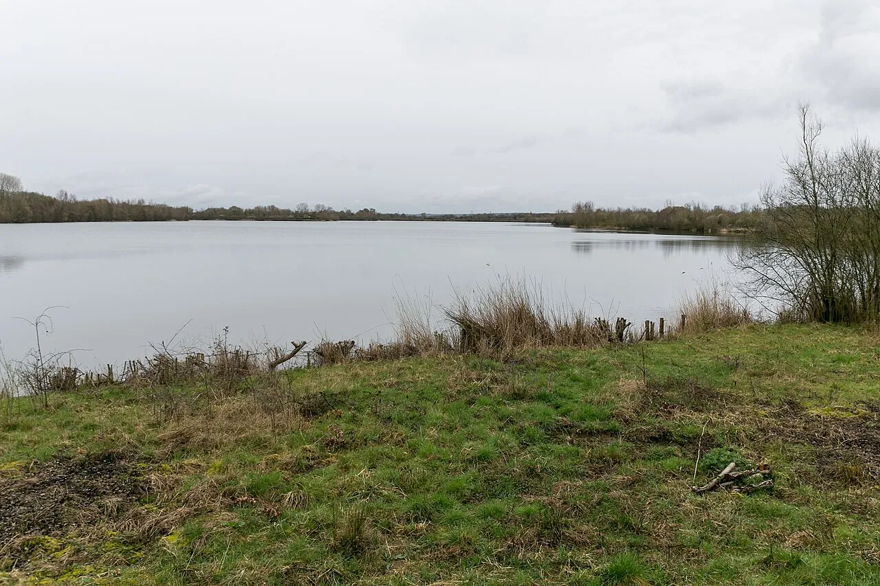
Vallée de la Mayenne is a protected area in France (Europe). It is a predominantly terrestrial area. It covers about 1,260 hectares.
Protections and designations
Natura 2000 · habitats (SAC)
Designated as a protected area. International labels and designations: Natura 2000 network (1 site: “Basses vallées angevines, aval de la rivière Mayenne et prairies de la Baumette”).
Frequently asked questions
Where is Vallée de la Mayenne?
In France (Europe). Representative point: 47.6342° N, 0.6505° W.
How large is Vallée de la Mayenne?
About 1,260 hectares (13 km²). It is the 2nd largest of the 32 other protected areas in France covered by Parkavela.
What habitats and landscapes does Vallée de la Mayenne include?
A terrestrial area, where land cover is dominated by farmland (42%).
What rocks lie beneath Vallée de la Mayenne?
According to the BRGM's simplified lithological map, the bedrock consists mainly of shales and sandstones (86% of sampled points) and clays (14%). These are mostly metamorphic rocks.
Which international labels apply to Vallée de la Mayenne?
Natura 2000 network (1 site: “Basses vallées angevines, aval de la rivière Mayenne et prairies de la Baumette”).
When is the best time to visit Vallée de la Mayenne?
Best time to visit: from April to September, with average temperatures of 10 to 20 °C and moderate rainfall.
What is there to see in Vallée de la Mayenne?
1 viewpoint, 4 lakes and ponds and 1 bird hide, including Bief Amont, Bief Aval and Marais de Juigné (OpenStreetMap).
Where can I stay in Vallée de la Mayenne?
4 campsites, including Aire d'accueil de camping-car de Montreuil-Juigné, Camping municipal de Pruillé and Les Rives de Mayenne (OpenStreetMap).
Are there historic monuments in Vallée de la Mayenne?
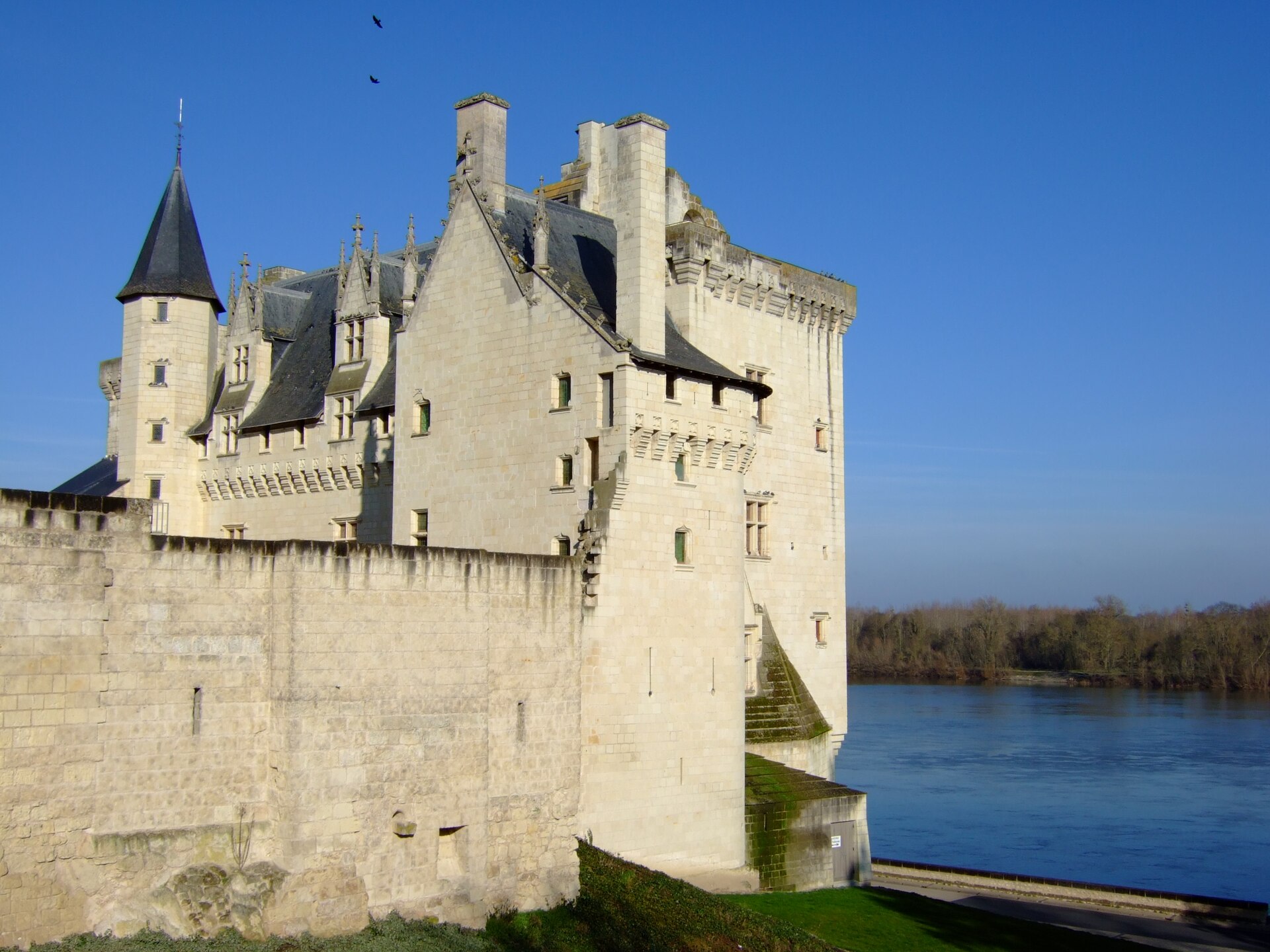
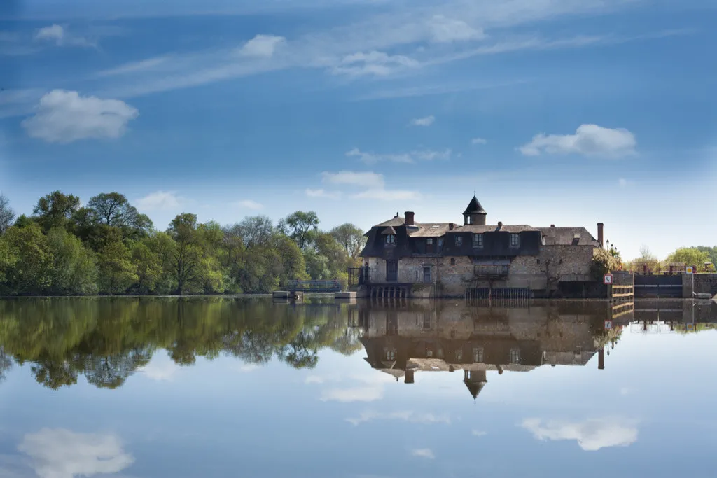
Yes. According to the French Ministry of Culture's Mérimée database, 4 historic monuments stand within the boundary, all at the second level of protection (inscrit). For example: “Moulin à eau dit "de la Chaussée" ou du "grand Chenillé"” in Chenillé-Changé, “Église et presbytère de Neuville” in Grez-Neuville and “Ensemble mégalithique” in Le Lion-d'Angers.
What is the nearest large city to Vallée de la Mayenne?
Nearest towns of over 50,000 people, as the crow flies: Angers (8 km) and Cholet (56 km). Nearest airport: Nantes Atlantique (NTE), about 84 km away.
How can I reach Vallée de la Mayenne by train?
The nearest railway station is Angers Saint-Laud, about 8 km from the site boundary.
Are there waymarked hiking trails in Vallée de la Mayenne?
Yes. Waymarked hiking routes listed in OpenStreetMap: 1.
Which species can be seen in Vallée de la Mayenne?
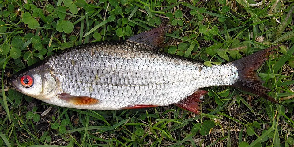
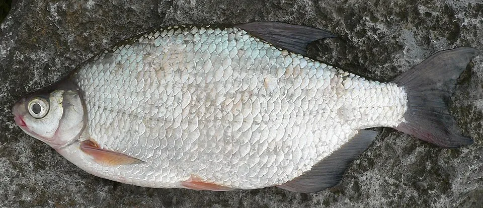
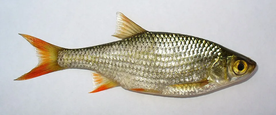
Among the species most often recorded on GBIF are Rutilus rutilus (Roach), Lepomis gibbosus (Pumpkinseed), Blicca bjoerkna (Silver Bream) and Rhodeus amarus (European bitterling).
© OpenStreetMap
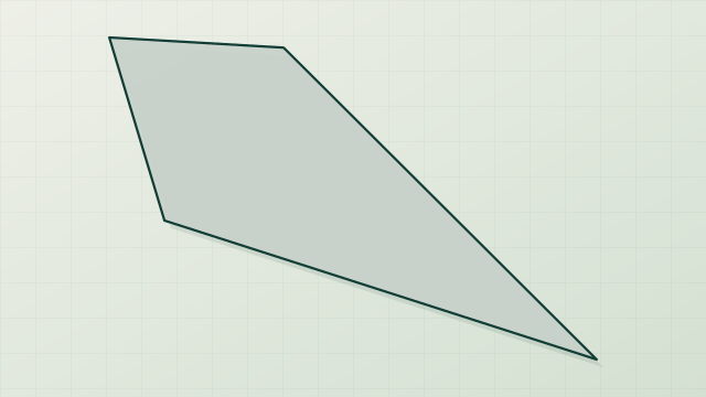
Download the boundary: GeoJSON · GPX Boundary © OpenStreetMap contributors (ODbL).
Geography
The representative point of the site lies at around 59 m above sea level. Over the 1996–2025 period, the mean annual temperature is about 12.3 °C and total precipitation reaches roughly 712 mm per year. The warmest month is usually August, the coolest January, and the wettest October. According to the BRGM's simplified lithological map, the bedrock consists mainly of shales and sandstones (86% of sampled points) and clays (14%). These are mostly metamorphic rocks.
Area
- Area of the boundary
- 1,260 ha
- Elevation
- 59 m
- Coordinates
- 47.6342, -0.6505
Bedrock
- Shales and sandstones 86 %
- Clays 14 %
Metamorphic rocks 86 % · Sedimentary rocks 14 %
Source: BRGM, simplified lithological map at 1:1,000,000 (Licence Ouverte), 14 points sampled within the boundary.
Climate
● Mean temperature (°C) · ▮ Precipitation (mm)
Source: Copernicus ERA5-Land (C3S, doi:10.24381/cds.68d2bb30), monthly averages 1996–2025 interpolated to the representative point, temperatures adjusted for elevation.
Contains modified Copernicus Climate Change Service information 2026. Neither the European Commission nor ECMWF is responsible for any use that may be made of the Copernicus information or data it contains.
Natural habitats
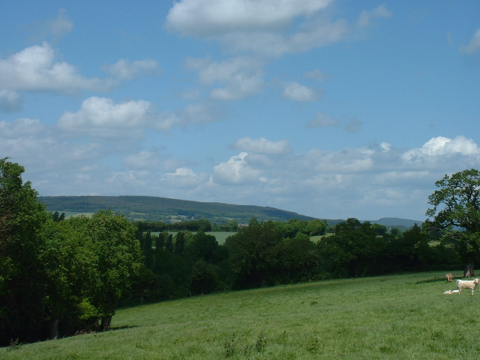
According to CORINE Land Cover (2018), the site is mainly made up of farmland (42%), grassland and meadows (40%) and lakes and rivers (7%). The Natura 2000 site overlapping the area lists 6 habitats of European interest (1 priority), the most extensive being lowland hay meadows (Alopecurus pratensis, Sanguisorba officinalis), hard oligo-mesotrophic waters with benthic vegetation of Chara spp. and siliceous rock with pioneer vegetation of the Sedo-Scleranthion or of the Sedo albi-Veronicion dillenii.
Biodiversity
Based on occurrences aggregated by GBIF, several species are regularly recorded within the site. Among the most frequent are Rutilus rutilus (Roach), Lepomis gibbosus (Pumpkinseed), Blicca bjoerkna (Silver Bream) and Rhodeus amarus (European bitterling). The full list of documented taxa is shown below. The overlapping Natura 2000 site lists 31 species of European interest: 15 mammals, 2 reptiles, 4 amphibians, 4 fish and 6 invertebrates.
Habitats of European interest
From the official form of the Natura 2000 site overlapping the area (areas reported for the whole site).
- Lowland hay meadows (Alopecurus pratensis, Sanguisorba officinalis) 184 ha
- Hard oligo-mesotrophic waters with benthic vegetation of Chara spp. 92 ha
- Siliceous rock with pioneer vegetation of the Sedo-Scleranthion or of the Sedo albi-Veronicion dillenii 92 ha
- Natural eutrophic lakes with Magnopotamion or Hydrocharition-type vegetation 92 ha
- Hydrophilous tall herb fringe communities of plains and of the montane to alpine levels 92 ha
- Alluvial forests with Alnus glutinosa and Fraxinus excelsior (Alno-Padion, Alnion incanae, Salicion albae) priority 92 ha
Species of European interest
Mammals · 15
Barbastelle (Barbastella barbastellus), Eurasian Beaver (Castor fiber), Serotine bat (Eptesicus serotinus), Alcathoe Whiskered Bat (Myotis alcathoe), Bechstein's bat (Myotis bechsteinii), Daubenton's bat (Myotis daubentonii), Geoffroy's bat (Myotis emarginatus), Greater mouse-eared bat (Myotis myotis), Whiskered bat (Myotis mystacinus), Natterer's bat (Myotis nattereri), Common noctule (Nyctalus noctula), Nathusius's pipistrelle (Pipistrellus nathusii) and 3 more
Reptiles · 2
Dark green snake (Coluber viridiflavus), Aesculapian snake (Elaphe longissima)
Amphibians · 4
Natterjack (Bufo calamita), Common tree frog (Hyla arborea), Agile frog (Rana dalmatina), Great crested newt (Triturus cristatus)
Fish · 4
Allis shad (Alosa alosa), Twait shad (Alosa fallax), Sea lamprey (Petromyzon marinus), European bitterling (Rhodeus amarus)
Invertebrates · 6
Greater Capricorn Beetle (Cerambyx cerdo), Southern damselfly (Coenagrion mercuriale), Stag beetle (Lucanus cervus), Green snaketail (Ophiogomphus cecilia), Orange-spotted Emerald (Oxygastra curtisii), Rosalia longicorn (Rosalia alpina)
Source: Natura 2000 standard data forms (EEA, CC-BY 4.0). Not exhaustive: sensitive species are not published.
Species to look out for



Observed species
Occurrences documented via GBIF; they are neither an exhaustive inventory nor proof of current presence.
- Roach · Rutilus rutilus · 720
- Pumpkinseed · Lepomis gibbosus · 520
- Silver Bream · Blicca bjoerkna · 282
- European bitterling · Rhodeus amarus · 215
- Common rudd · Scardinius erythrophthalmus · 214
- European perch · Perca fluviatilis · 178
- Bleak · Alburnus alburnus · 159
- Common bream · Abramis brama · 130
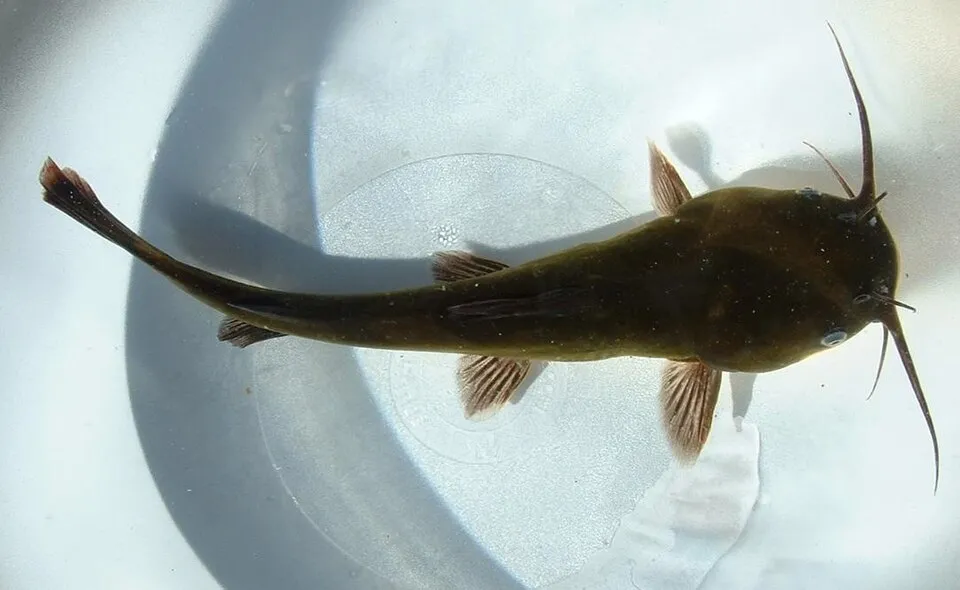
- Black bullhead · Ameiurus melas · 124
- European eel · Anguilla anguilla · 90
- Chub · Squalius cephalus · 68
- Lesser Black-backed Gull · Larus fuscus · 39
+18 more species
- Ruffe · Gymnocephalus cernua · 30
- Gudgeon · Gobio gobio · 27
- Wels catfish · Silurus glanis · 25
- Freshwater diatom · Cyclotella atomus · 22
- Common Wood Pigeon · Columba palumbus · 20
- Carrion crow · Corvus corone · 20
- Eurasian Chaffinch · Fringilla coelebs · 19
- Eurasian Wren · Troglodytes troglodytes · 18
- Sellaphora nigri · 17
- Eurasian Blackcap · Sylvia atricapilla · 16
- Common Chiffchaff · Phylloscopus collybita · 16
- Pike · Esox lucius · 15
- Amphora pediculus · 15
- Cyclotella dubia · 14
- Stephanodiscus invisitatus · 13
- Discostella pseudostelligera · 13
- Rhoicosphenia abbreviata · 13
- Caloneis bacillum · 12
Records: GBIF.org (CC-BY). Names: Wikidata (CC0), GBIF. Photos: Wikimedia Commons.
Conservation challenges
The primary purpose of the site is to preserve its natural habitats and the biodiversity they support. The species recorded (Biodiversity tab) reflect its ecological value. The designations it holds frame its management and the control of land use.
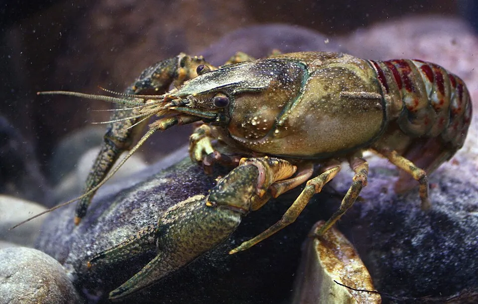
According to CORINE Land Cover, land cover here remained almost unchanged between 1990 and 2018 (less than 0.5% of the area affected). At night, 4% of the area gives off artificial light detectable from space (NASA VIIRS Black Marble composite, 2016). Built-up and developed land (buildings, business areas, roads, quarries) covers 3% of the area, and farmland 42% (CORINE Land Cover). According to the Natura 2000 forms, of 5 assessed habitats of European interest, 3 are in average or reduced condition and the rest in good condition. According to the Water Framework Directive assessment (2022 river basin management plans, data 2015–2017), none of the 26 km of rivers assessed within the site reaches good ecological potential; they mostly have moderate ecological potential. Since 2000, 12 invasive alien species have been recorded within the site (GBIF observations), 7 of them listed as of Union concern under EU Regulation 1143/2014. Among them: Lepomis gibbosus (Pumpkinseed), Ameiurus melas (Black bullhead) and Faxonius limosus (Spinycheek crayfish).
Pressure indicators
Tree cover lost
6 ha
2001–2023
20012023
Fires since 2016
0
No large fire mapped (fires over about 30 ha)
Light at night
4%
of the area gives off artificial light visible from space
DarkLit
Built-up land
3%
buildings, business areas, roads, quarries · farmland 42%
Land cover change
< 0.5%
of the area changed, 1990–2018 · CORINE
Rivers and lakes
0%
of the 26 km of assessed rivers at good or high ecological potential (mostly heavily modified water bodies) · WFD 2022
assessments 2015–2017
Invasive alien species
12
incl. 7 of EU concern · since 2000
PumpkinseedEU
 Black bullheadEU
 Spinycheek crayfishEU
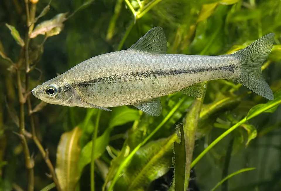 Topmouth gudgeonEU
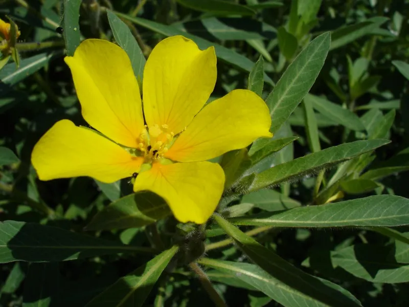 Water primroseEU
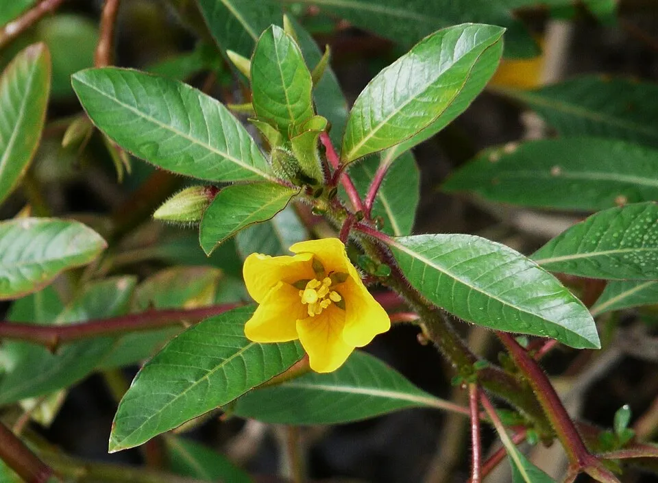 Floating primrose-willowEU
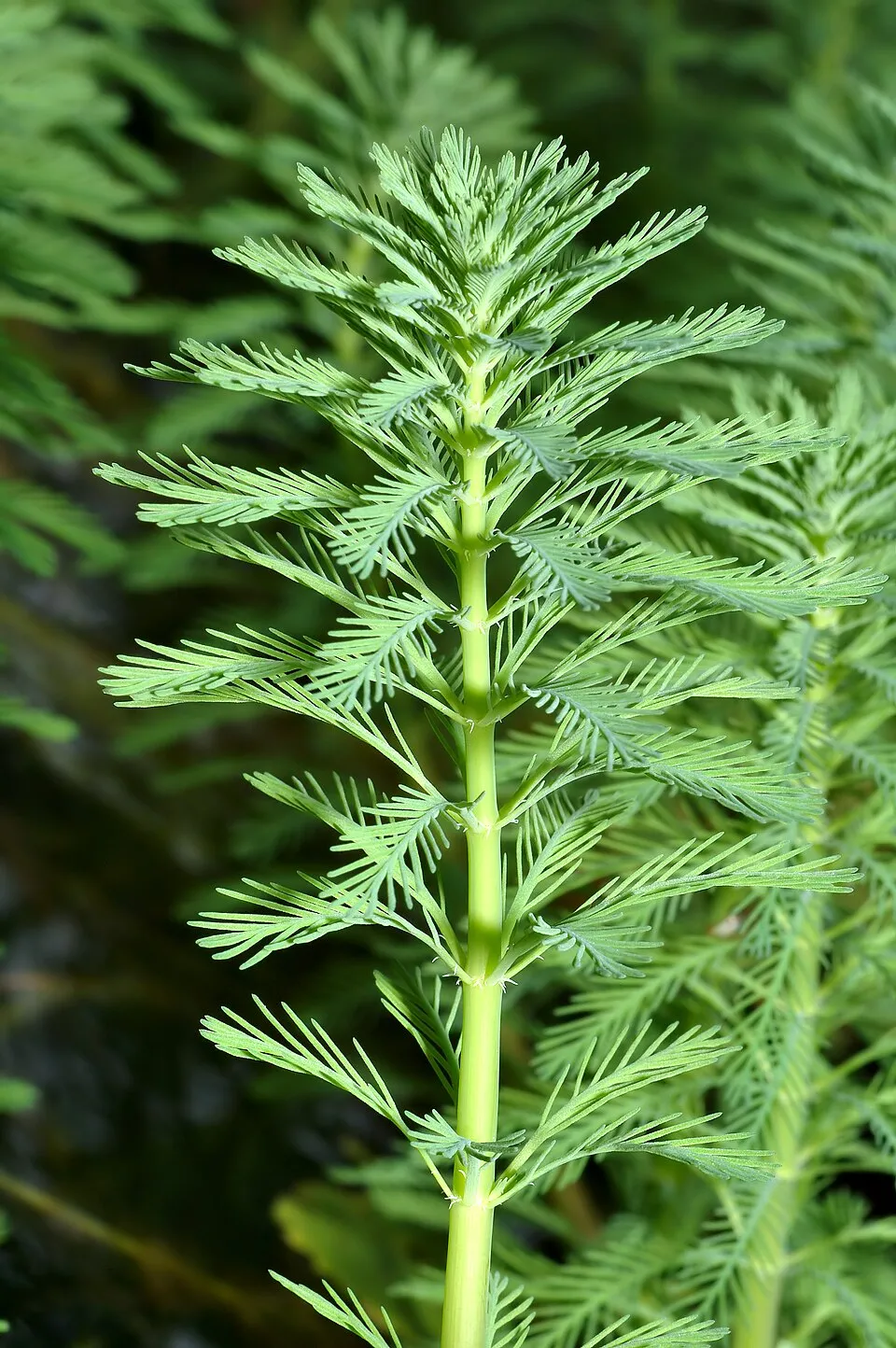 Parrot feather watermilfoilEU
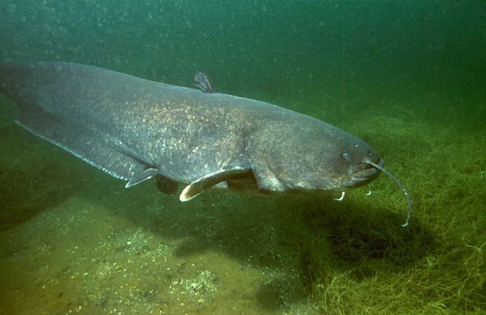 Wels catfish
Photos: Pumpkinseed © Cephas · CC BY-SA 3.0; Black bullhead © Jeffdelonge · CC BY-SA 3.0; Spinycheek crayfish © Astacoides · CC BY-SA 3.0; Topmouth gudgeon © Seotaro, edited by Lycaon · CC BY-SA 3.0; Water primrose © Bouba · CC BY-SA 3.0; Floating primrose-willow © Père Igor · CC BY-SA 3.0; Parrot feather watermilfoil © André Karwath aka Aka · CC BY-SA 2.5; Wels catfish © Dieter Florian (To contact the author, ask the uploader or take a look at tauchshop-florian.de.) · CC BY-SA 3.0
Sources: Global Forest Change (Hansen et al., University of Maryland, via Global Forest Watch, CC-BY 4.0); EFFIS, European Commission / Copernicus; NASA Black Marble 2016 (public domain); CORINE Land Cover 2018 (Copernicus) or MODIS.
CORINE Land Cover Change 1990–2018: generated using European Union's Copernicus Land Monitoring Service information (EEA), aggregated by Parkavela; DOI 10.2909/f30f1000-7cf8-43bb-872c-5eb093911b24.
Ecological status of water bodies: European Environment Agency, WISE – Water Framework Directive, 3rd river basin management plans (2022), CC BY 4.0. Official national classification, not comparable between countries.
Invasive alien species: Global Register of Introduced and Invasive Species (ISSG, CC BY 4.0); Union list, Regulation (EU) 1143/2014 (INBO, CC0); GBIF.org records (CC0 / CC BY 4.0), at least 2 per species.
Practical information
Cities and airport
- Angers
8 km as the crow flies - Cholet
56 km as the crow flies - Airport: Nantes Atlantique (NTE)
84 km as the crow flies
Parking
8 public car parks listed within the site
L'Aubinière
Things to see
1 viewpoint · 4 lakes and ponds · 1 bird hide
- Bief Amont
lake or pond - Bief Aval
lake or pond - Marais de Juigné
lake or pond
Where to stay
4 campsites
- Aire d'accueil de camping-car de Montreuil-Juigné
campsite - Camping municipal de Pruillé
campsite - Les Rives de Mayenne
campsite
Hiking
1 waymarked routes listed
By bike
V43 La Vélo Francette · 20 kmCHM Chemin de halage de la Mayenne · 9 km
Signed cycle routes: this does not mean that cycling is allowed on footpaths.
Data © OpenStreetMap contributors (ODbL) · Wikidata (CC0)
Routes © OpenStreetMap contributors (ODbL), via Waymarked Trails
Access and visiting
The nearest railway station is Angers Saint-Laud, about 8 km from the site boundary. Nearest towns of over 50,000 people, as the crow flies: Angers (8 km) and Cholet (56 km). Nearest airport: Nantes Atlantique (NTE), about 84 km away. About 390,000 people live within 20 km of the site boundary, 200,000 of them within 10 km; some 1,400 people are estimated to live inside (GHSL estimate, 2020). This population has grown by about 6% since 2000. Public car parks listed within the site: 8, including L'Aubinière. Waymarked hiking routes listed in OpenStreetMap: 1. The site is crossed by 2 signed cycle routes: “V43 La Vélo Francette” and “CHM Chemin de halage de la Mayenne” (OpenStreetMap). To see: 1 viewpoint, 4 lakes and ponds and 1 bird hide, including Bief Amont, Bief Aval and Marais de Juigné. Where to stay: 4 campsites, including Aire d'accueil de camping-car de Montreuil-Juigné, Camping municipal de Pruillé and Les Rives de Mayenne. To plan a visit (access, opening periods, visitor rules), it is best to consult the official information from the managing body and the official website listed in this page's sources.
Source: OpenStreetMap (ODbL), Wikidata (CC0), October 2026.
Built heritage
According to the French Ministry of Culture's Mérimée database, 4 historic monuments stand within the boundary, all at the second level of protection (inscrit). Examples include “Moulin à eau dit "de la Chaussée" ou du "grand Chenillé"” in Chenillé-Changé, “Église et presbytère de Neuville” in Grez-Neuville and “Ensemble mégalithique” in Le Lion-d'Angers.
2 religious buildings1 bridge, lighthouse, mill or working building1 prehistoric or archaeological site
-
Moulin à eau dit "de la Chaussée" ou du "grand Chenillé"
Chenillé-Changé · 16th c., 19th c., 20th c. -
Église et presbytère de Neuville
Grez-Neuville · 11th c., 12th c., 17th c., 18th c. -
Ensemble mégalithique
Le Lion-d'Angers -
Église
Chenillé-Changé · 11th c., 12th c.
Source: Mérimée database, French Ministry of Culture (Licence Ouverte 2.0). Each record links to the Plateforme ouverte du patrimoine (POP).
When to visit
Best time to visit: from April to September, with average temperatures of 10 to 20 °C and moderate rainfall. Day length ranges from about 8 h 26 min in December to 15 h 58 min in June. Wildlife records published on GBIF peak for birds (from January to May), butterflies and moths (from May to July) and dragonflies (from June to August). These peaks also reflect when observers are most active.
Source: Copernicus ERA5-Land (C3S), monthly averages 1996–2025 at the representative point, temperatures adjusted for elevation.
Contains modified Copernicus Climate Change Service information 2026. Neither the European Commission nor ECMWF is responsible for any use that may be made of the Copernicus information or data it contains.
Wildlife records calendar
JFMAMJJASOND
Birds
Plants
Butterflies & moths
Dragonflies
Mammals
Monthly records published on GBIF (CC-BY), relative to the busiest month; also reflects observer activity.
Gallery
© Steve Grosbois · CC BY 3.0
© GO69 · CC BY 4.0
© Pom' from France, European Union · CC BY-SA 2.0
© Régis MANENTI · CC BY-SA 4.0
© GO69 · CC BY 4.0
© Pom' from France, European Union · CC BY-SA 2.0
Sources and licences
- OpenStreetMap: relation 19578303
References
- cds.climate.copernicus.eu: climate · CC-BY-4.0
- registry.opendata.aws: elevation of the reference point, detailed relief · PD
- land.copernicus.eu: land cover, land cover change, sea share · COPERNICUS
- doi.org: population around the site · CC-BY-4.0
- openstreetmap.org: official name, access and peaks, places to see · ODbL-1.0
- eea.europa.eu: bathing water quality, ecological status of waters · CC-BY-4.0
- en.eurovelo.com: EuroVelo cycle routes · ODbL-1.0
- cycling.waymarkedtrails.org: cycle routes · ODbL-1.0
- opentopodata.org: elevations · PD
- forest-fire.emergency.copernicus.eu: wildfires · COPERNICUS
- globalforestwatch.org: tree cover loss · CC-BY-4.0
- gbif.org: seasonality of sightings, invasive alien species, observed species · CC-BY-4.0
- infoterre.brgm.fr: geology · LO-2.0
- pop.culture.gouv.fr: protected heritage · LO-2.0
- hydrosheds.org: lakes · CC-BY-4.0
- natura2000.eea.europa.eu: Natura 2000 habitats and species · CC-BY-4.0
- earthobservatory.nasa.gov: night light · PD
- nsidc.org: snow cover · PD
- wikidata.org: nearby cities and airport, access and peaks, lake depths, places to see · CC0-1.0
Data © OpenStreetMap contributors (ODbL), Wikidata (CC0) and the sources cited.