Italy · Terrestrial
Madonie Regional Park
Regional nature park of 39,941 hectares in Italy, established in 1989.
Overview
Regional nature park of 39,941 hectares in Italy, established in 1989.
Madonie Regional Park is a regional nature park in Italy (Europe). It is a predominantly terrestrial area. Established in 1989, it covers about 39,941 hectares.
Protections and designations
UNESCO Global Geopark
Natura 2000 · habitats (SAC) · 8 sites
- Boschi di Gibilmanna e Cefalù ITA020002
- Complesso Calanchivo di Castellana Sicula ITA020015
- Complesso Pizzo Dipilo e Querceti su calcare ITA020017
- Monte Quacella, Monte dei Cervi, Pizzo Carbonara, Monte Ferro, Pizzo Otiero ITA020016
- Monte S. Salvatore, Monte Catarineci, Vallone Mandarini, ambienti umidi ITA020004
- Querceti sempreverdi di Geraci Siculo e Castelbuono ITA020020
- and 2 more
Natura 2000 · birds (SPA) · 2 sites
- Complesso Calanchivo di Castellana Sicula ITA020015
- Parco delle Madonie ITA020050
Protected as a regional nature park. International labels and designations: UNESCO Global Geopark and Natura 2000 network (9 sites). Key dates: established in 1989 and first Natura 2000 site under the Birds Directive in 2005.
In our collections
Timeline
-
1989
Established
-
2005
First Natura 2000 site under the Birds Directive
Sources: Wikidata (CC0) for establishment and international labels; EEA Natura 2000 database (CC-BY 4.0) for site designation dates.
Frequently asked questions
Where is Madonie Regional Park?
In Italy (Europe). Representative point: 37.8833° N, 14.0167° E.
How large is Madonie Regional Park?
About 39,941 hectares (399 km²). It is the 11th largest of the 128 regional parks in Italy covered by Parkavela.
When was Madonie Regional Park established?
In 1989.
What habitats and landscapes does Madonie Regional Park include?
A terrestrial area, with forests and mountains.
What rocks lie beneath Madonie Regional Park?
According to the European 1:1 million geological map (EGDI), the bedrock consists mainly of marly limestones (75% of sampled points) and limestones (19%). These are mostly sedimentary rocks. The geological units date mainly from the Cenozoic (69% of sampled points).
What is the highest point of Madonie Regional Park?
Pizzo Carbonara, at 1,979 m (OpenStreetMap).
What are the main summits of Madonie Regional Park?
Pizzo Carbonara (1,979 m), Pizzo Antenna o della Principessa (1,977 m), Pizzo Palermo (1,964 m), Monte San Salvatore (1,909 m) and Monte Ferro (1,906 m) (OpenStreetMap).
Which international labels apply to Madonie Regional Park?
UNESCO Global Geopark and Natura 2000 network (9 sites).
When is the best time to visit Madonie Regional Park?
Best time to visit: from June to September, with average temperatures of 13 to 17 °C and moderate rainfall.
What is there to see in Madonie Regional Park?
41 viewpoints, 1 waterfall, 2 lakes and ponds and 7 caves, including Pizzo Canna, Cascata Scopalacqua, Gorgo di Pollicino and Grotta Abisso del Vento (OpenStreetMap).
Where can I stay in Madonie Regional Park?
11 mountain huts and 3 campsites, including Rifugio Giuliano Marini (1,582 m), Agricampeggio Gole di Tiberio and Pagghiaru Piano Pomo (OpenStreetMap).
Are there historic monuments in Madonie Regional Park?
Yes. According to Wikidata, 4 monuments protected as Italian national cultural heritage stand within the boundary. For example: “Santa Maria Abbey” in Collesano, “Castello di Caltavuturo” in Caltavuturo and “Petralia Soprana Aqueduct” in Petralia Soprana.
Can you swim in Madonie Regional Park?
One monitored bathing site lies in or within 1 km of the site; official 2025 classification: 1 excellent (European Environment Agency). Swimming is only permitted at the sites and times authorised locally.
What is the nearest large city to Madonie Regional Park?
Nearest towns of over 50,000 people, as the crow flies: Caltanissetta (32 km) and Bagheria (38 km). Nearest airport: Falcone–Borsellino (PMO), about 75 km away.
How can I reach Madonie Regional Park by train?
The nearest railway station is Pollina-San Mauro Castelverde, about 1 km from the site boundary.
Where can I get visitor information on site?
Ufficio Turistico, Qui parco and Ufficio Informazioni.
Are there waymarked hiking trails in Madonie Regional Park?
Yes. Waymarked hiking routes listed in OpenStreetMap: 48, including Via Normanna -Tappa and Via Normanna. The “VNorm7 · Via Normanna - Tappa 7” route runs for about 10 km through the site, with some 370 m of ascent on its longest section.
Which species can be seen in Madonie Regional Park?
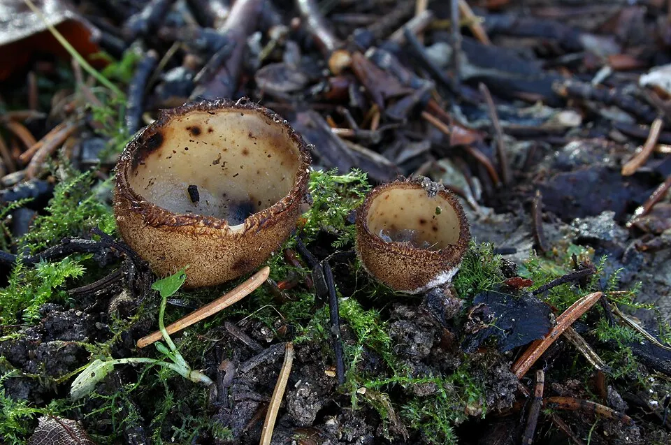
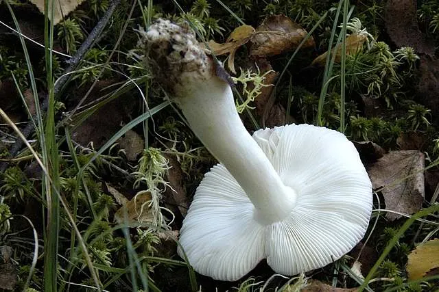
Among the species most often recorded on GBIF are Russula byssina, Penicillium melinii, Hebeloma cistophilum and Humaria hemisphaerica (Glazed Cup).
What is the official website of Madonie Regional Park?
© OpenStreetMap
Download the boundary: GeoJSON · GPX Boundary © OpenStreetMap contributors (ODbL).
Geography
The representative point of the site lies at around 1,701 m above sea level. Over the 1996–2025 period, the mean annual temperature is about 8.3 °C and total precipitation reaches roughly 675 mm per year. The warmest month is usually July, the coolest February, and the wettest October. According to the European 1:1 million geological map (EGDI), the bedrock consists mainly of marly limestones (75% of sampled points) and limestones (19%). These are mostly sedimentary rocks. The geological units date mainly from the Cenozoic (69% of sampled points).
Area
- Area
- 39,941 ha
- Elevation
- 1,701 m
- Median elevation
- 886 m
- Mean slope
- 17°
- Coordinates
- 37.8833, 14.0167
Terrain: Mapzen Terrain Tiles (SRTM, USGS)
Elevation bands
- below 500 m 22%
- 500–1,000 m 37%
- 1,000–1,500 m 30%
- 1,500–2,000 m 11%
share of the site in each elevation band (smoothed terrain model: summits are rounded off) · Terrain: Mapzen Terrain Tiles (SRTM, USGS)
Bedrock
- Marly limestones 75 %
- Limestones 19 %
- Mudstones 6 %
Sedimentary rocks 100 % · Main age: Cenozoic (69%)
Source: EGDI 1:1M geological map (EuroGeoSurveys and national geological surveys), CC BY 4.0 · 16 sampled points within the site.
Main summits
- Pizzo Carbonara1,979 m
- Pizzo Antenna o della Principessa1,977 m
- Pizzo Palermo1,964 m
- Monte San Salvatore1,909 m
- Monte Ferro1,906 m
- Pizzo Scalonazzo1,904 m
- Monte Quacella1,869 m
- Monte Mufara1,865 m
- Monte Alto1,819 m
- Monte dei Cervi1,792 m
Data © OpenStreetMap contributors (ODbL)
Climate
● Mean temperature (°C) · ▮ Precipitation (mm)
Source: Copernicus ERA5-Land (C3S, doi:10.24381/cds.68d2bb30), monthly averages 1996–2025 interpolated to the representative point, temperatures adjusted for elevation.
Contains modified Copernicus Climate Change Service information 2026. Neither the European Commission nor ECMWF is responsible for any use that may be made of the Copernicus information or data it contains.
Natural habitats
According to CORINE Land Cover (2018), the site is mainly made up of forests (28%), farmland (27%) and Mediterranean scrub (20%). Woodland is mostly broadleaved. Elevation ranges from about 170 m to 1,979 m (highest point: Pizzo Carbonara). Median elevation is 886 m, and 11% of the site lies above 1,500 m (SRTM elevation model). The terrain is steep: 51% of slopes exceed 15° (mean slope 17°). The 9 Natura 2000 sites overlapping the area list 28 habitats of European interest (5 priority), the most extensive being lowland hay meadows (Alopecurus pratensis, Sanguisorba officinalis), eastern white oak woods and Quercus ilex and Quercus rotundifolia forests.
Biodiversity
Based on occurrences aggregated by GBIF, several species are regularly recorded within the site. Among the most frequent are Russula byssina, Penicillium melinii, Hebeloma cistophilum and Humaria hemisphaerica (Glazed Cup). The full list of documented taxa is shown below. The overlapping Natura 2000 sites list 111 species of European interest: 70 birds, 11 mammals, 7 reptiles, 2 amphibians, 8 invertebrates and 13 plants.
Habitats of European interest
From the official forms of the 9 Natura 2000 sites overlapping the area (areas reported for each whole site).
- Lowland hay meadows (Alopecurus pratensis, Sanguisorba officinalis) 3,395 ha
- Eastern white oak woods priority 3,036 ha
- Quercus ilex and Quercus rotundifolia forests 2,618 ha
- Apeninne beech forests with Taxus and Ilex priority 2,453 ha
- Pseudo-steppe with grasses and annuals of the Thero-Brachypodietea priority 1,414 ha
- Quercus suber forests 1,259 ha
- Endemic oro-Mediterranean heaths with gorse 635 ha
- Western Mediterranean and thermophilous scree 464 ha
and 20 more
Species of European interest
Birds · 70
Eurasian Reed Warbler (Acrocephalus scirpaceus) breeding, Common Sandpiper (Actitis hypoleucos) passage, Eurasian Skylark (Alauda arvensis) wintering breeding passage, Common Kingfisher (Alcedo atthis) wintering breeding, Rock Partridge (Alectoris graeca whitakeri) resident, Tawny Pipit (Anthus campestris) breeding, Meadow Pipit (Anthus pratensis) wintering, Common Swift (Apus apus) breeding, Pallid Swift (Apus pallidus) breeding, Golden Eagle (Aquila chrysaetos) resident, Bonelli's Eagle (Aquila fasciata) resident, Grey Heron (Ardea cinerea) passage wintering and 58 more
Mammals · 11
Sicilian Shrew (Crocidura sicula), European wildcat (Felis silvestris), Savi's Pipistrelle (Hypsugo savii), Crested porcupine (Hystrix cristata), European pine marten (Martes martes), Hazel dormouse (Muscardinus avellanarius), Geoffroy's bat (Myotis emarginatus), Greater mouse-eared bat (Myotis myotis), Kuhl's pipistrelle (Pipistrellus kuhlii), Common pipistrelle (Pipistrellus pipistrellus), European free-tailed bat (Tadarida teniotis)
Reptiles · 7
Ocellated skink (Chalcides ocellatus), Smooth snake (Coronella austriaca), Sicilian pond turtle (Emys trinacris), Italian wall lizard (Podarcis siculus), Sicilian Wall Lizard (Podarcis waglerianus), Hermann's tortoise (Testudo hermanni), Italian Aesculapian Snake (Zamenis lineatus)
Invertebrates · 8
Greater Capricorn Beetle (Cerambyx cerdo), Italian goldenring (Cordulegaster trinacriae), Osmoderma cristinae, Apollo (Parnassius apollo), Clouded apollo (Parnassius mnemosyne), Rosalia longicorn (Rosalia alpina), Common Predatory Bush-cricket (Saga pedo), Southern Festoon (Zerynthia polyxena)
Plants · 13
Sicilian fir (Abies nebrodensis), Dianthus rupicola, Snowdrop (Galanthus nivalis), Leontodon siculus, Moon orchid (Ophrys lunulata), Butcher's-broom (Ruscus aculeatus), Sphagnum auriculatum, Twisted bog-moss (Sphagnum contortum), Lescur's sphagnum (Sphagnum lescurii), Magellan's sphagnum (Sphagnum magellanicum), Slender cow-horn bog-moss (Sphagnum subsecundum), Stipa austroitalica and 1 more
Source: Natura 2000 standard data forms (EEA, CC-BY 4.0). Not exhaustive: sensitive species are not published.
Species to look out for



Observed species
Occurrences documented via GBIF; they are neither an exhaustive inventory nor proof of current presence.
- Russula byssina · 2136
- Penicillium melinii · 1249
- Hebeloma cistophilum · 1029
- Glazed Cup · Humaria hemisphaerica · 660
- Umbelopsis changbaiensis · 498
- Mortierella rishikesha · 479
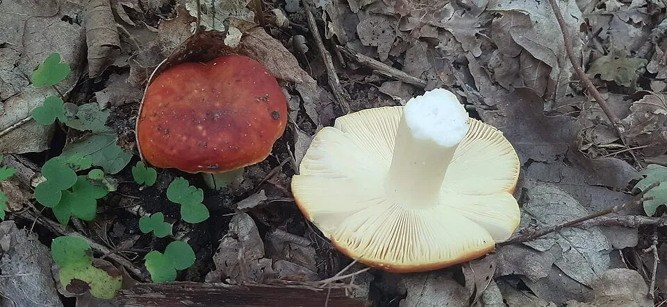
- Russula anatina · 456
- Tomentella fuscocinerea · 393
- Linnemannia sclerotiella · 348
- Russula seperina · 342
- Solicoccozyma terrea · 328
- Variable Brittlegill · Russula versicolor · 299
+18 more species
- Humicola nigrescens · 296
- Hygrophorus cossus · 291
- Tomentella stuposa · 291
- Russula decipiens · 274
- Russula romellii · 267
- Penicillago nodositata · 260
- Oidiodendron chlamydosporicum · 254
- Russula nuragica · 252
- Cortinarius belleri · 250
- Exophiala equina · 248
- Red Truffle · Tuber rufum · 233
- Tomentella galzinii · 207
- Russula recondita · 205
- Bitter Poisonpie · Hebeloma sinapizans · 194
- Umbelopsis dimorpha · 191
- Solicoccozyma fuscescens · 189
- Clustered Domecap · Lyophyllum decastes · 186
- Leptodontidium trabinellum · 183
Records: GBIF.org (CC-BY). Names: Wikidata (CC0), GBIF. Photos: Wikimedia Commons.
Conservation challenges
The primary purpose of the site is to preserve its natural habitats and the biodiversity they support. The species recorded (Biodiversity tab) reflect its ecological value. The designations it holds frame its management and the control of land use.
According to Global Forest Change data (University of Maryland, Global Forest Watch), about 1,640 ha of tree cover were lost within the boundary between 2001 and 2023 (4% of its area), peaking in 2013 and 2016. These losses include logging, storms and fires, and do not account for regrowth. According to the European CORINE Land Cover inventory (Copernicus), land cover changed on about 205 ha of the site between 1990 and 2018 (under 1% of its area). Since 2016, the European EFFIS system (Copernicus) has mapped 22 fires here, burning about 8,414 ha within the boundary; the largest, in July 2021 (near Scillato), covered 2,422 ha. At night, 7% of the area gives off artificial light detectable from space (NASA VIIRS Black Marble composite, 2016). According to the Natura 2000 forms, of 15 assessed habitats of European interest, 4 are in excellent condition and 4 in average or reduced condition. According to the Water Framework Directive assessment (2022 river basin management plans, data 2014–2019), none of the 39 km of rivers assessed within the site reaches good ecological status; they mostly have poor ecological status. Invasive alien species have been recorded within the site since 2000 (GBIF observations), one of them listed as of Union concern. Among them: Ailanthus altissima (Tree-of-heaven), Oxalis pes-caprae (Bermuda buttercup) and Harmonia axyridis (Asian Lady Beetle).
Pressure indicators
Tree cover lost
1,638 ha
2001–2023 · 4% of the area
20012023
Fires since 2016
8,414 ha
burned within the boundary (22 mapped fires)
- 2021 · Scillato · 2,422 ha
- 2021 · Geraci Siculo · 1,487 ha
- 2023 · Gratteri · 1,237 ha
Light at night
7%
of the area gives off artificial light visible from space
DarkLit
Built-up land
< 1%
buildings, business areas, roads, quarries · farmland 27%
Land cover change
205 ha
changed cover, 1990–2018 · CORINE · < 1% of the area
Rivers and lakes
0%
of the 39 km of assessed rivers in good or high ecological status · WFD 2022
assessments 2014–2019
Invasive alien species
3
incl. 1 of EU concern · since 2000
 Tree-of-heaven
 Bermuda buttercup
Photos: Tree-of-heaven © Darkone · CC BY-SA 2.5; Bermuda buttercup © MathKnight and Zachi Evenor אביר המתמטיקה וצחי אבנור · CC BY-SA 4.0
Sources: Global Forest Change (Hansen et al., University of Maryland, via Global Forest Watch, CC-BY 4.0); EFFIS, European Commission / Copernicus; NASA Black Marble 2016 (public domain); CORINE Land Cover 2018 (Copernicus) or MODIS.
CORINE Land Cover Change 1990–2018: generated using European Union's Copernicus Land Monitoring Service information (EEA), aggregated by Parkavela; DOI 10.2909/f30f1000-7cf8-43bb-872c-5eb093911b24.
Ecological status of water bodies: European Environment Agency, WISE – Water Framework Directive, 3rd river basin management plans (2022), CC BY 4.0. Official national classification, not comparable between countries.
Invasive alien species: Global Register of Introduced and Invasive Species (ISSG, CC BY 4.0); Union list, Regulation (EU) 1143/2014 (INBO, CC0); GBIF.org records (CC0 / CC BY 4.0), at least 2 per species.
Practical information
Cities and airport
- Caltanissetta
32 km as the crow flies - Bagheria
38 km as the crow flies - Airport: Falcone–Borsellino (PMO)
75 km as the crow flies
Visitor information
- Ufficio Turistico
1 km from the site boundary - Qui parco
1 km from the site boundary - Ufficio Informazioni
3 km from the site boundary
Things to see
41 viewpoints · 1 waterfall · 2 lakes and ponds · 7 caves
- Pizzo Canna
viewpoint - Cascata Scopalacqua
waterfall - Gorgo di Pollicino
lake or pond - Grotta Abisso del Vento
cave - Laghetto Mandria del Conte
lake or pond
Where to stay
11 mountain huts · 3 campsites
- Rifugio Giuliano Marini
Staffed hut · 1,582 m - Agricampeggio Gole di Tiberio
campsite - Pagghiaru Piano Pomo
Unstaffed hut - Rifugio CAS
Staffed hut - Rifugio Crispi
Staffed hut
Hiking
48 waymarked routes listed, including:
Via Normanna -TappaVia Normanna
By bike
Appennino Bike Tour [ABT] · 39 km
Signed cycle routes: this does not mean that cycling is allowed on footpaths.
Data © OpenStreetMap contributors (ODbL) · Wikidata (CC0)
Routes © OpenStreetMap contributors (ODbL), via Waymarked Trails
Waymarked hiking routes
VNorm5 Via Normanna -Tappa 5
2.9 km within the site ↗ 0 m↘ 199 m 460–666 m
VNorm7 Via Normanna - Tappa 7
10.1 km within the site ↗ 370 m↘ 419 m 845–1,210 m
VNorm8 Via Normanna - Tappa 8
4 km within the site ↗ 54 m↘ 215 m 765–984 m
Via dei Frati - Tappa n. 8
13 km within the site ↗ 474 m↘ 416 m 395–842 m
Via dei Frati - Tappa n. 7
17.1 km within the site ↗ 382 m↘ 775 m 723–1,276 m
Tracks © OpenStreetMap contributors (ODbL), clipped to the boundary; elevation gain and profiles computed on the longest section from Mapzen Terrain Tiles (≈ 30 m), indicative only.
Bathing
1 monitored bathing site in or within 1 km of the site · 2025 classification
Excellent · 1
- Anti Casello F.s. Km. 77 · sea · Excellent
Source: European Environment Agency, official bathing water classification (Directive 2006/7/EC, CC-BY 4.0). Swimming is only permitted at the sites and times authorised locally.
Access and visiting
The nearest railway station is Pollina-San Mauro Castelverde, about 1 km from the site boundary. Nearest towns of over 50,000 people, as the crow flies: Caltanissetta (32 km) and Bagheria (38 km). Nearest airport: Falcone–Borsellino (PMO), about 75 km away. About 140,000 people live within 20 km of the site boundary, 75,000 of them within 10 km; some 9,600 people are estimated to live inside (GHSL estimate, 2020). This population has fallen by about 13% since 2000. Visitor information on site: Ufficio Turistico, Qui parco and Ufficio Informazioni. Waymarked hiking routes listed in OpenStreetMap: 48, including Via Normanna -Tappa and Via Normanna. A signed cycle route crosses the site: “Appennino Bike Tour [ABT]” (OpenStreetMap). To see: 41 viewpoints, 1 waterfall, 2 lakes and ponds and 7 caves, including Pizzo Canna, Cascata Scopalacqua, Gorgo di Pollicino and Grotta Abisso del Vento. Where to stay: 11 mountain huts and 3 campsites, including Rifugio Giuliano Marini (1,582 m), Agricampeggio Gole di Tiberio and Pagghiaru Piano Pomo. To plan a visit (access, opening periods, visitor rules), it is best to consult the official information from the managing body and the official website listed in this page's sources.
Source: OpenStreetMap (ODbL), Wikidata (CC0), October 2026.
Built heritage
According to Wikidata, 4 monuments protected as Italian national cultural heritage stand within the boundary. Examples include “Santa Maria Abbey” in Collesano, “Castello di Caltavuturo” in Caltavuturo and “Petralia Soprana Aqueduct” in Petralia Soprana.
1 religious building1 prehistoric or archaeological site1 castle or fortification1 house or civic building
-
Santa Maria Abbey
Collesano -
Castello di Caltavuturo
Caltavuturo -
Petralia Soprana Aqueduct
Petralia Soprana -
Museo Frà Gianmaria da Tusa
Cefalù
Source: Wikidata (CC0), monuments in each country’s official heritage protection registers, at national or regional level. Each item links to its Wikidata entry.
When to visit
Best time to visit: from June to September, with average temperatures of 13 to 17 °C and moderate rainfall. These averages apply to the site's representative point (1,701 m); higher up it is markedly cooler and snow lasts longer. Day length ranges from about 9 h 33 min in December to 14 h 46 min in June. Wildlife records published on GBIF peak for birds (April and May), plants (June), butterflies and moths (June) and mammals (June). These peaks also reflect when observers are most active.
Source: Copernicus ERA5-Land (C3S), monthly averages 1996–2025 at the representative point, temperatures adjusted for elevation.
Contains modified Copernicus Climate Change Service information 2026. Neither the European Commission nor ECMWF is responsible for any use that may be made of the Copernicus information or data it contains.
Wildlife records calendar
JFMAMJJASOND
Birds
Plants
Butterflies & moths
Mammals
Monthly records published on GBIF (CC-BY), relative to the busiest month; also reflects observer activity.
Gallery
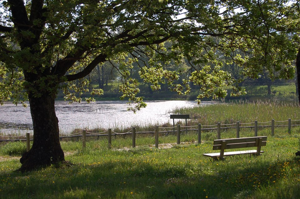
© Martin Teetz · Public domain
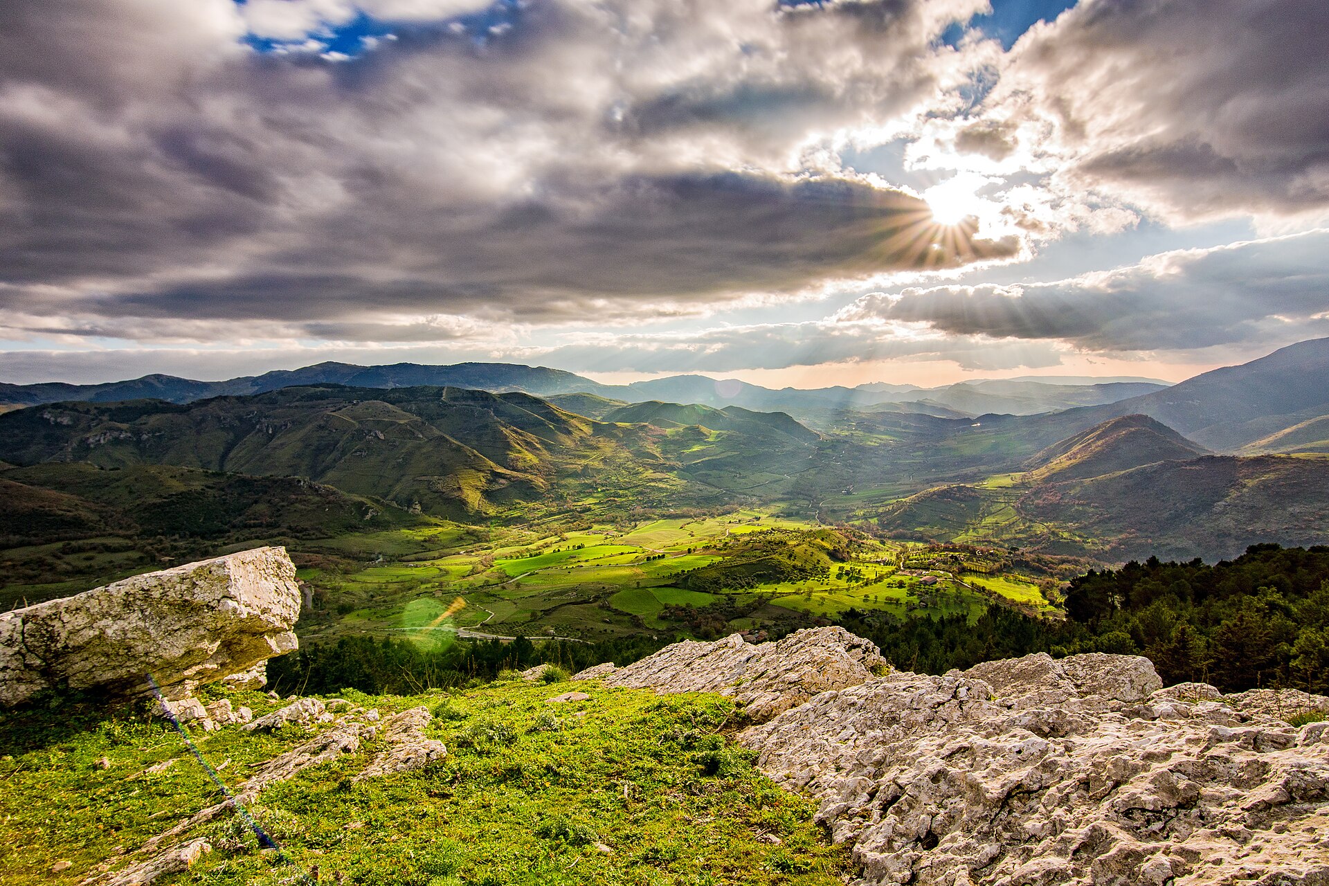
© Andreadipiazza · Public domain
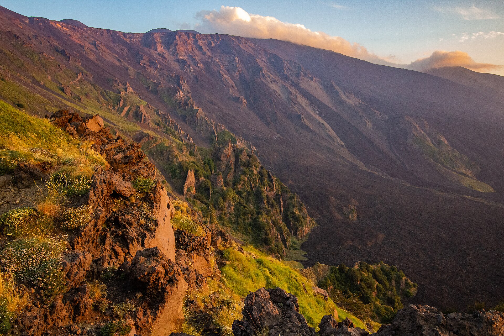
© MoritzP from Dortmund, Germany · CC BY-SA 2.0
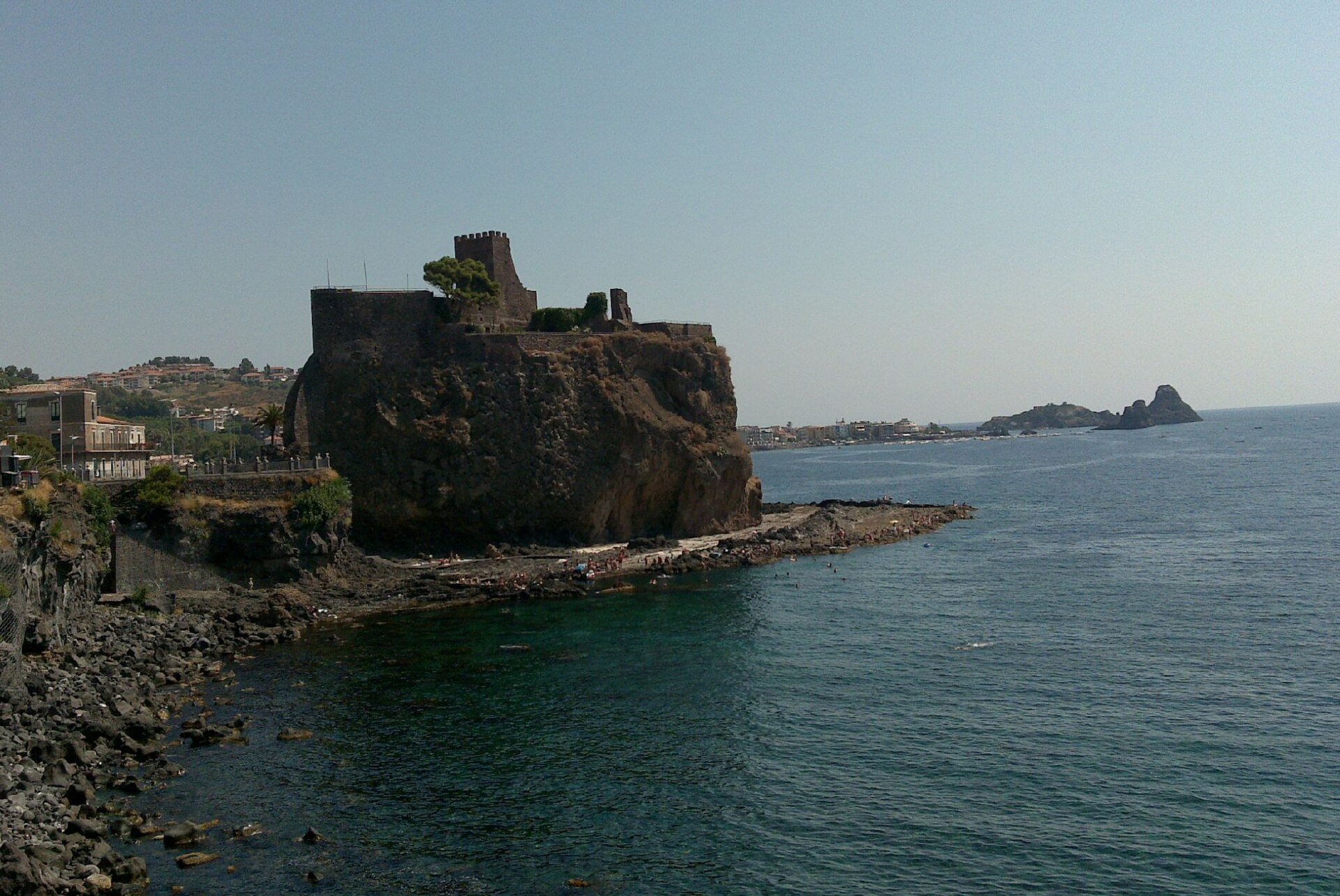
© Peppesev · CC BY 3.0
© Gilles San Martin from Namur, Belgium · CC BY-SA 2.0
© Davide Mauro · CC BY-SA 4.0
Sources and licences
- Wikidata: Q3895556
- OpenStreetMap: relation 3311607
- Official website: http://www.parcodellemadonie.it/
- Wikipedia: en.wikipedia.org/wiki/Madonie_Regional_Natural_Park
- WDPA: 32713
References
- cds.climate.copernicus.eu: climate · CC-BY-4.0
- registry.opendata.aws: elevation of the reference point, detailed relief · PD
- land.copernicus.eu: land cover, land cover change, sea share · COPERNICUS
- doi.org: population around the site · CC-BY-4.0
- wikidata.org: official area, establishment date, protected heritage, nearby cities and airport, access and peaks, lake depths, places to see, official website · CC0-1.0
- eea.europa.eu: bathing water quality, ecological status of waters · CC-BY-4.0
- en.eurovelo.com: EuroVelo cycle routes · ODbL-1.0
- cycling.waymarkedtrails.org: cycle routes · ODbL-1.0
- opentopodata.org: elevations · PD
- forest-fire.emergency.copernicus.eu: wildfires · COPERNICUS
- globalforestwatch.org: tree cover loss · CC-BY-4.0
- gbif.org: seasonality of sightings, invasive alien species, observed species · CC-BY-4.0
- europe-geology.eu: geology · CC-BY-4.0
- hydrosheds.org: lakes · CC-BY-4.0
- natura2000.eea.europa.eu: Natura 2000 habitats and species · CC-BY-4.0
- openstreetmap.org: official name, access and peaks, places to see · ODbL-1.0
- earthobservatory.nasa.gov: night light · PD
- hiking.waymarkedtrails.org: route difficulty · ODbL-1.0
- nsidc.org: snow cover · PD
- wikidata.org: Wikipedia article · CC-BY-SA-4.0
Data © OpenStreetMap contributors (ODbL), Wikidata (CC0) and the sources cited.