
Italy · Terrestrial
Etna Regional Park
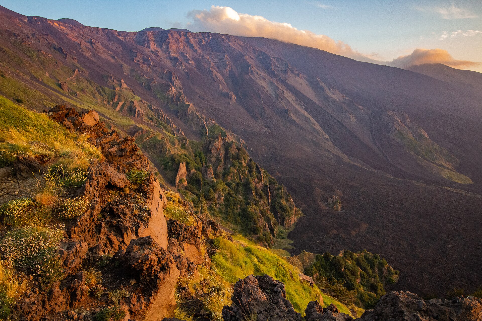
Regional nature park of 58,095 hectares in Italy, established in 1987.
Overview
Regional nature park of 58,095 hectares in Italy, established in 1987.
Etna Regional Park is a regional nature park in Italy (Europe). It is a predominantly terrestrial area. Established in 1987, it covers about 58,095 hectares.
Protections and designations
UNESCO World Heritage
Natura 2000 · habitats (SAC) · 13 sites
- Bosco di Milo ITA070020
- Canalone del Tripodo ITA070015
- Dammusi ITA070010
- Fascia altomontana dell'Etna ITA070009
- Lago Gurrida e Sciare di S. Venera ITA070019
- Monte Arso ITA070024
- and 7 more
Natura 2000 · birds (SPA) · 8 sites
- Canalone del Tripodo ITA070015
- Fascia altomontana dell'Etna ITA070009
- Lago Gurrida e Sciare di S. Venera ITA070019
- Monte Minardo ITA070023
- Piano dei Grilli ITA070018
- Pineta di Adrano e Biancavilla ITA070012
- and 2 more
Protected as a regional nature park. International labels and designations: UNESCO World Heritage (“Etna Park”) and Natura 2000 network (13 sites). Key dates: established in 1987, first Natura 2000 site under the Birds Directive in 1998 and World Heritage listing in 2013.
In our collections
Timeline
-
1987
Established
-
1998
First Natura 2000 site under the Birds Directive 4 such sites designated up to 1998
-
2013
Inscribed as a UNESCO World Heritage Site Etna Park
Sources: Wikidata (CC0) for establishment and international labels; EEA Natura 2000 database (CC-BY 4.0) for site designation dates.
Frequently asked questions
Where is Etna Regional Park?
In Italy (Europe). Representative point: 37.7653° N, 15.0000° E.
How large is Etna Regional Park?
About 58,095 hectares (581 km²). It is the 6th largest of the 128 regional parks in Italy covered by Parkavela.
When was Etna Regional Park established?
In 1987.
What habitats and landscapes does Etna Regional Park include?
A terrestrial area, with forests and mountains.
What rocks lie beneath Etna Regional Park?
According to the European 1:1 million geological map (EGDI), the bedrock consists mainly of andesites and dacites (100% of sampled points). These are mostly igneous rocks. The geological units date mainly from the Quaternary (100% of sampled points).
What is the highest point of Etna Regional Park?
Etna, at 3,403 m (OpenStreetMap).
What are the main summits of Etna Regional Park?
Etna (3,403 m), La Voragine (3,403 m), Bocca Nuova (3,380 m), Cratere di Nord-Est (3,327 m) and Cratere di Sud-Est (3,294 m) (OpenStreetMap).
Which international labels apply to Etna Regional Park?
UNESCO World Heritage (“Etna Park”) and Natura 2000 network (13 sites).
When is the best time to visit Etna Regional Park?
Best time to visit: July and August, with average temperatures of 10 to 11 °C and moderate rainfall.
Is there snow in Etna Regional Park?
Yes. According to NASA's MODIS satellites (2015–2025 average), snow covers the site about 40 days a year, mostly from December to March.
What is there to see in Etna Regional Park?
41 viewpoints, 2 waterfalls, 2 lakes and ponds and 243 caves, including Monte Zoccolaro (1,739 m), Cascata dell'Acquarocca, Cisternazza and Grotta del Minicucco (980 m) (OpenStreetMap).
Where can I stay in Etna Regional Park?
54 mountain huts and 1 campsite, including Rifugio di Monte Palestra (1,918 m), Rifugio della Galvarina (1,878 m) and Rifugio Santa Barbara (1,795 m) (OpenStreetMap).
What is the nearest large city to Etna Regional Park?
Nearest towns of over 50,000 people, as the crow flies: Acireale (7 km) and Catania (15 km). Nearest airport: Catania-Fontanarossa (CTA), about 18 km away.
How can I reach Etna Regional Park by train?
The nearest railway station is Mascali, about 6 km from the site boundary.
Where can I get visitor information on site?
Front Office Ente Parco dell'Etna, Pro Loco and Pro Loco Maniace.
Are there waymarked hiking trails in Etna Regional Park?
Yes. Waymarked hiking routes listed in OpenStreetMap: 121, including Via Normanna. The “SI” route runs for about 14 km through the site, with some 280 m of ascent on its longest section.
Which species can be seen in Etna Regional Park?
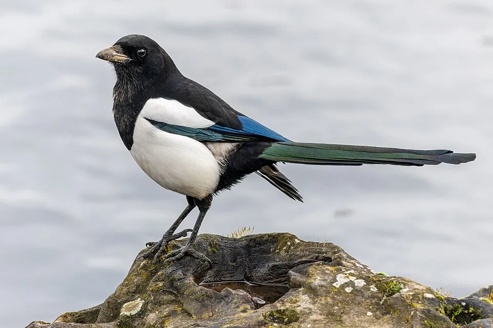
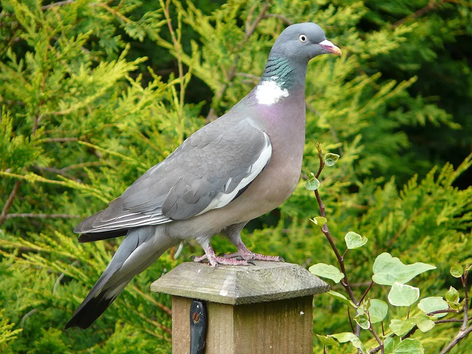
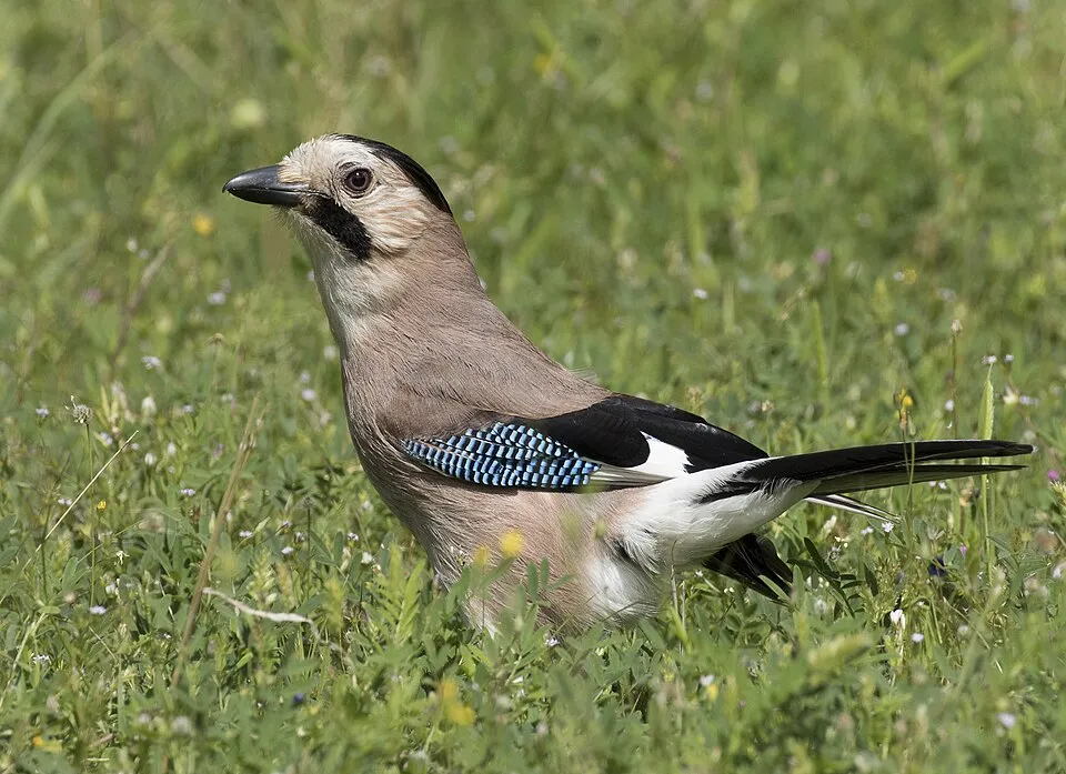
Among the species most often recorded on GBIF are Periparus ater (Coal tit), Pica pica (Eurasian Magpie), Columba palumbus (Common Wood Pigeon) and Garrulus glandarius (Eurasian Jay).
What is the official website of Etna Regional Park?
© OpenStreetMap
Download the boundary: GeoJSON · GPX Boundary © OpenStreetMap contributors (ODbL).
Geography
The representative point of the site lies at around 2,909 m above sea level. Over the 1996–2025 period, the mean annual temperature is about 1.2 °C and total precipitation reaches roughly 976 mm per year. The warmest month is usually July, the coolest January, and the wettest October. According to the European 1:1 million geological map (EGDI), the bedrock consists mainly of andesites and dacites (100% of sampled points). These are mostly igneous rocks. The geological units date mainly from the Quaternary (100% of sampled points).
Area
- Area
- 58,095 ha
- Elevation
- 2,909 m
- Median elevation
- 1,219 m
- Mean slope
- 10°
- Snow cover
- ≈ 40 days a year
- Coordinates
- 37.7653, 15
Terrain: Mapzen Terrain Tiles (SRTM, USGS)
Elevation bands
- 500–1,000 m 30%
- 1,000–1,500 m 38%
- 1,500–2,000 m 20%
- 2,000–2,500 m 7%
- 2,500–3,000 m 4%
- above 3,000 m 1%
share of the site in each elevation band (smoothed terrain model: summits are rounded off) · Terrain: Mapzen Terrain Tiles (SRTM, USGS)
Bedrock
- Andesites and dacites 100 %
Igneous rocks 100 % · Main age: Quaternary (100%)
Source: EGDI 1:1M geological map (EuroGeoSurveys and national geological surveys), CC BY 4.0 · 13 sampled points within the site.
Main summits
- Etna3,403 m
- La Voragine3,403 m
- Bocca Nuova3,380 m
- Cratere di Nord-Est3,327 m
- Cratere di Sud-Est3,294 m
- Nuovo Cratere di Sud-Est3,290 m
- Punta Lucia2,932 m
- Monte Frumento Supino2,845 m
- Pizzi Dèneri2,845 m
- Cratere Piano del Lago o Escrivà2,672 m
Data © OpenStreetMap contributors (ODbL)
Climate
● Mean temperature (°C) · ▮ Precipitation (mm)
Source: Copernicus ERA5-Land (C3S, doi:10.24381/cds.68d2bb30), monthly averages 1996–2025 interpolated to the representative point, temperatures adjusted for elevation.
Contains modified Copernicus Climate Change Service information 2026. Neither the European Commission nor ECMWF is responsible for any use that may be made of the Copernicus information or data it contains.
Snow cover measured by satellite
J
F
M
A
M
J
J
A
S
O
N
D
average share of the site under snow · snowiest parts · ≈ 40 days a year
Snow cover: MODIS/Terra MOD10CM v61 (Hall & Riggs, 2021, NASA NSIDC DAAC, doi:10.5067/MODIS/MOD10CM.061), imagery from NASA GIBS (ESDIS); 2015–2025 average, grid of about 5 km.
Natural habitats
According to CORINE Land Cover (2018), the site is mainly made up of bare rock and scree (34%), forests (28%) and farmland (15%). Woodland is mostly broadleaved. Elevation ranges from about 620 m to 3,403 m (highest point: Etna). Median elevation is 1,219 m, and 11% of the site lies above 2,000 m (SRTM elevation model). The 13 Natura 2000 sites overlapping the area list 18 habitats of European interest (6 priority), the most extensive being fields of lava and natural excavations, endemic oro-Mediterranean heaths with gorse and (Sub-) Mediterranean pine forests with endemic black pines.
Biodiversity
Based on occurrences aggregated by GBIF, several species are regularly recorded within the site. Among the most frequent are Periparus ater (Coal tit), Pica pica (Eurasian Magpie), Columba palumbus (Common Wood Pigeon) and Garrulus glandarius (Eurasian Jay). The full list of documented taxa is shown below. The overlapping Natura 2000 sites list 49 species of European interest: 29 birds, 5 mammals, 8 reptiles, 2 amphibians, 3 invertebrates and 2 plants.
Habitats of European interest
From the official forms of the 13 Natura 2000 sites overlapping the area (areas reported for each whole site).
- Fields of lava and natural excavations 6,673 ha
- Endemic oro-Mediterranean heaths with gorse 3,515 ha
- (Sub-) Mediterranean pine forests with endemic black pines priority 2,158 ha
- Pseudo-steppe with grasses and annuals of the Thero-Brachypodietea priority 895 ha
- Eastern white oak woods priority 859 ha
- Quercus ilex and Quercus rotundifolia forests 689 ha
- Castanea sativa woods 590 ha
- Apeninne beech forests with Taxus and Ilex priority 450 ha
and 10 more
Species of European interest
Birds · 29
Rock Partridge (Alectoris graeca whitakeri) breeding resident, Tawny Pipit (Anthus campestris) passage, Golden Eagle (Aquila chrysaetos) resident, Purple Heron (Ardea purpurea) passage, Ferruginous Duck (Aythya nyroca) passage, European Nightjar (Caprimulgus europaeus) breeding passage, Black Tern (Chlidonias niger) passage, White stork (Ciconia ciconia) breeding, Western Marsh Harrier (Circus aeruginosus) passage, Montagu's Harrier (Circus pygargus) passage, Common Wood Pigeon (Columba palumbus) resident, Lanner Falcon (Falco biarmicus) resident and 17 more
Mammals · 5
Sicilian Shrew (Crocidura sicula), European wildcat (Felis silvestris), Crested porcupine (Hystrix cristata), Kuhl's pipistrelle (Pipistrellus kuhlii), Greater Horseshoe Bat (Rhinolophus ferrumequinum)
Reptiles · 8
Ocellated skink (Chalcides ocellatus), Smooth snake (Coronella austriaca), Sicilian pond turtle (Emys trinacris), Western Whip Snake (Hierophis viridiflavus), Green lizard (Lacerta viridis), Italian wall lizard (Podarcis siculus), Hermann's tortoise (Testudo hermanni), Italian Aesculapian Snake (Zamenis lineatus)
Invertebrates · 3
Jersey Tiger (Euplagia quadripunctaria), Willowherb Hawkmoth (Proserpinus proserpina), Common Predatory Bush-cricket (Saga pedo)
Source: Natura 2000 standard data forms (EEA, CC-BY 4.0). Not exhaustive: sensitive species are not published.
Species to look out for

Bird
Hooded Crow
Corvus cornix193 records © Ricardo Tulio Gandelman from Rio de Janeiro, Brazil · CC BY 2.0

Observed species
Occurrences documented via GBIF; they are neither an exhaustive inventory nor proof of current presence.
- Coal tit · Periparus ater · 221
- Eurasian Magpie · Pica pica · 211
- Common Wood Pigeon · Columba palumbus · 207
- Eurasian Jay · Garrulus glandarius · 202
- Hooded Crow · Corvus cornix · 193
- Eurasian Chaffinch · Fringilla coelebs · 189
- Great tit · Parus major · 172
- Eurasian blue tit · Cyanistes caeruleus · 170
- European robin · Erithacus rubecula · 148
- European Serin · Serinus serinus · 145
- Common Chiffchaff · Phylloscopus collybita · 139
- Common Blackbird · Turdus merula · 133
Records: GBIF.org (CC-BY). Names: Wikidata (CC0), GBIF. Photos: Wikimedia Commons.
Conservation challenges
The primary purpose of the site is to preserve its natural habitats and the biodiversity they support. The species recorded (Biodiversity tab) reflect its ecological value. The designations it holds frame its management and the control of land use.
According to Global Forest Change data (University of Maryland, Global Forest Watch), about 654 ha of tree cover were lost within the boundary between 2001 and 2023 (1% of its area), peaking in 2017 and 2023. These losses include logging, storms and fires, and do not account for regrowth. According to CORINE Land Cover, land cover here remained almost unchanged between 1990 and 2018 (less than 0.5% of the area affected); only some 6 ha were built over. Since 2016, the European EFFIS system (Copernicus) has mapped 64 fires here, burning about 6,011 ha within the boundary; the largest, in August 2019 (near Randazzo), covered 1,156 ha. At night, 22% of the area gives off artificial light detectable from space (NASA VIIRS Black Marble composite, 2016). According to the Natura 2000 forms, of 14 assessed habitats of European interest, 8 are in excellent condition and 2 in average or reduced condition. Since 2000, 10 invasive alien species have been recorded within the site (GBIF observations), one of them listed as of Union concern under EU Regulation 1143/2014. Among them: Ailanthus altissima (Tree-of-heaven), Datura stramonium (Jimsonweed) and Oxalis pes-caprae (Bermuda buttercup).
Pressure indicators
Tree cover lost
654 ha
2001–2023 · 1% of the area
20012023
Fires since 2016
6,011 ha
burned within the boundary (64 mapped fires)
- 2019 · Randazzo · 1,156 ha
- 2017 · Bronte · 522 ha
- 2021 · Linguaglossa · 348 ha
Light at night
22%
of the area gives off artificial light visible from space
DarkLit
Built-up land
< 1%
buildings, business areas, roads, quarries · farmland 15%
Land cover change
< 0.5%
of the area changed, 1990–2018 · CORINE
Invasive alien species
10
incl. 1 of EU concern · since 2000
 Tree-of-heavenEU
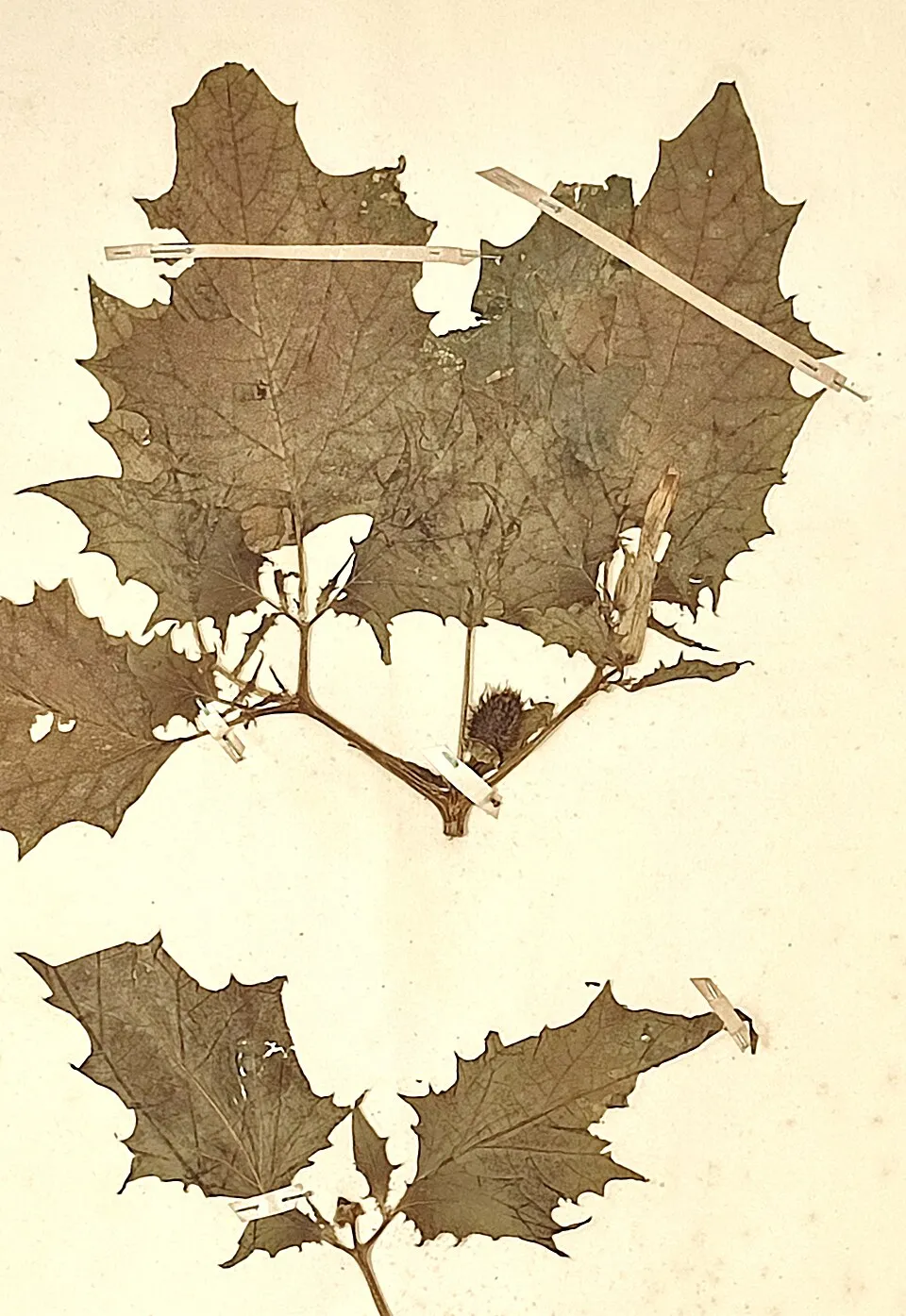 Jimsonweed
 Bermuda buttercup
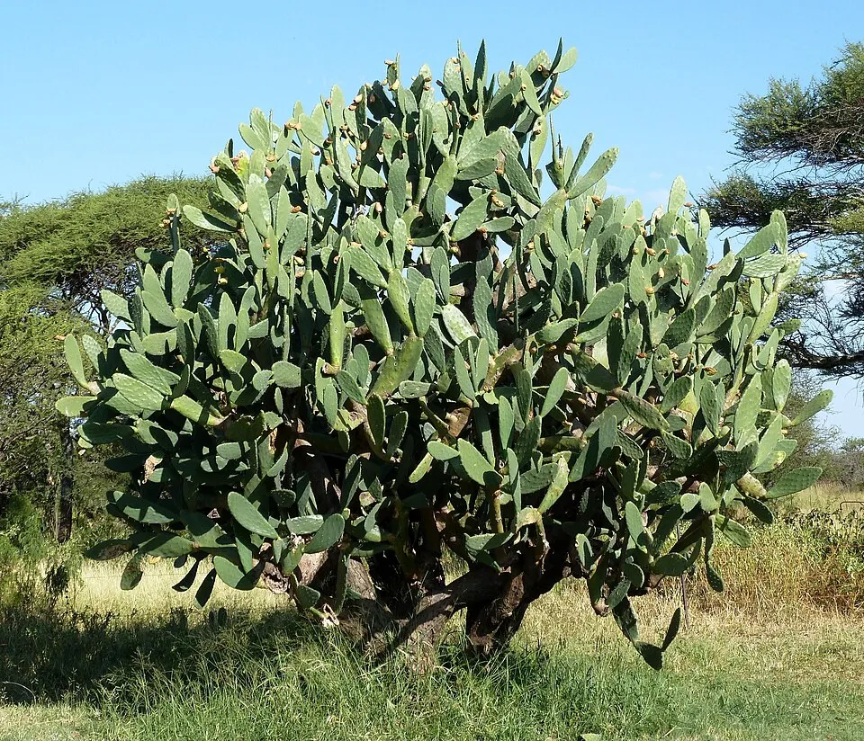 Tuna Cactus
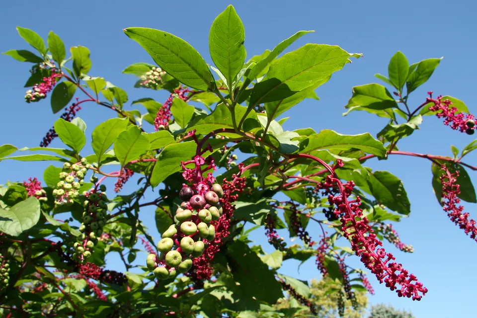 American pokeweed
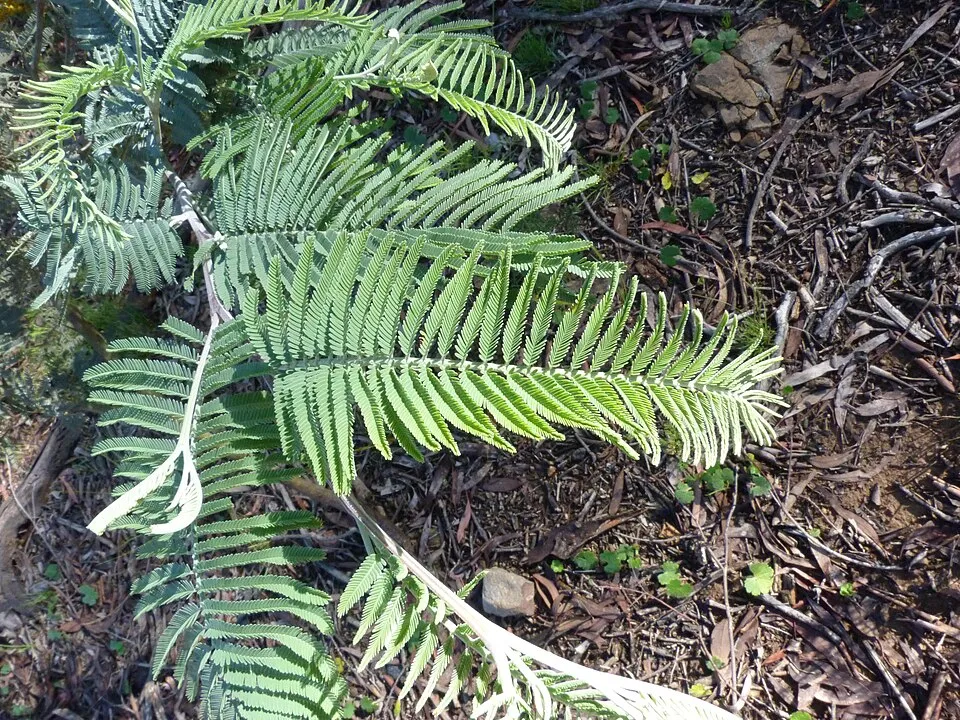 Silver Wattle
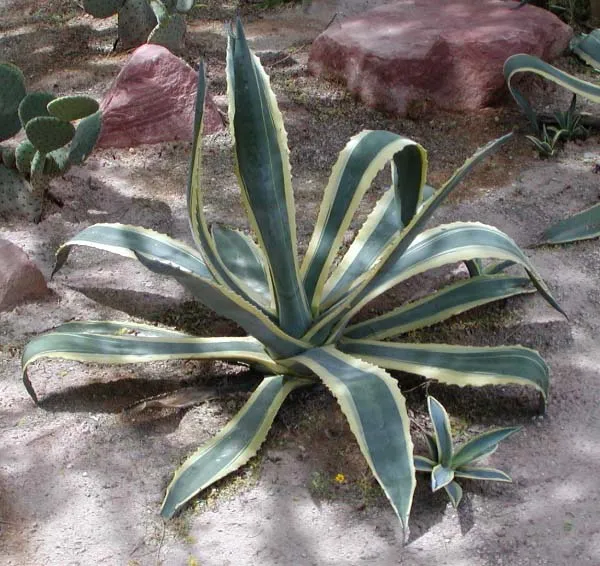 American century plant
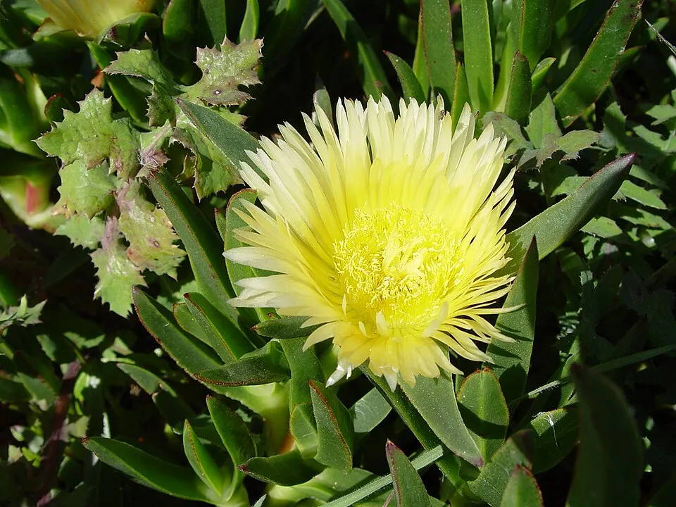 Hottentot-fig
Photos: Tree-of-heaven © Darkone · CC BY-SA 2.5; Jimsonweed © Giuseppe Frizzi · Public domain; Bermuda buttercup © MathKnight and Zachi Evenor אביר המתמטיקה וצחי אבנור · CC BY-SA 4.0; Tuna Cactus © JMK · CC BY-SA 3.0; American pokeweed © Huw Williams (Huwmanbeing) · Public domain; Silver Wattle © Donald Hobern from Copenhagen, Denmark · CC BY 2.0; American century plant © Stan Shebs · CC BY-SA 3.0; Hottentot-fig © Taken by Carsten Niehaus (user:Lumbar). · CC BY-SA 3.0
Sources: Global Forest Change (Hansen et al., University of Maryland, via Global Forest Watch, CC-BY 4.0); EFFIS, European Commission / Copernicus; NASA Black Marble 2016 (public domain); CORINE Land Cover 2018 (Copernicus) or MODIS.
CORINE Land Cover Change 1990–2018: generated using European Union's Copernicus Land Monitoring Service information (EEA), aggregated by Parkavela; DOI 10.2909/f30f1000-7cf8-43bb-872c-5eb093911b24.
Invasive alien species: Global Register of Introduced and Invasive Species (ISSG, CC BY 4.0); Union list, Regulation (EU) 1143/2014 (INBO, CC0); GBIF.org records (CC0 / CC BY 4.0), at least 2 per species.
Practical information
Cities and airport
- Acireale
7 km as the crow flies - Catania
15 km as the crow flies - Airport: Catania-Fontanarossa (CTA)
18 km as the crow flies
Visitor information
- Front Office Ente Parco dell'Etna
< 1 km from the site boundary - Pro Loco
2 km from the site boundary - Pro Loco Maniace
2 km from the site boundary - Pro Loco Adrano
3 km from the site boundary
Things to see
41 viewpoints · 2 waterfalls · 2 lakes and ponds · 243 caves
- Monte Zoccolaro
viewpoint · 1,739 m - Cascata dell'Acquarocca
waterfall - Cisternazza
lake or pond - Grotta del Minicucco
cave · 980 m - Belvedere di Calanna
viewpoint
Where to stay
54 mountain huts · 1 campsite
- Rifugio di Monte Palestra
Unstaffed hut · 1,918 m - Rifugio della Galvarina
Unstaffed hut · 1,878 m - Rifugio Santa Barbara
Unstaffed hut · 1,795 m - Rifugio Forestale Monte Vetore
Staffed hut · 1,745 m - Rifugio Carpentieri
Unstaffed hut · 1,731 m
Hiking
121 waymarked routes listed, including:
Via Normanna
Trail difficulty
- T1 · easy hiking · 60% · 137 km
- T2 · mountain hiking · 20% · 43 km
- T3–T6 · demanding or alpine hiking · 25% · 55 km
235 km graded out of 573 km of paths
SAC scale (T1–T6) © OpenStreetMap contributors (ODbL): indicative only, check with the park.
By bike
Appennino Bike Tour [ABT] · 11 km
Signed cycle routes: this does not mean that cycling is allowed on footpaths.
Data © OpenStreetMap contributors (ODbL) · Wikidata (CC0)
Routes © OpenStreetMap contributors (ODbL), via Waymarked Trails
Waymarked hiking routes
VNorm13 Via Normanna - Tappa 13
5.1 km within the site ↗ 24 m↘ 27 m 858–886 m
701 Pista Altomontana
34.2 km within the site ↗ 626 m↘ 950 m 1,421–1,941 m
up to T3 · demanding mountain hiking
Fab-12 Via Francigena Fabaria - Tappa 12
15.1 km within the site ↗ 527 m↘ 308 m 664–1,158 m
731 731 - Sentiero delle Ginestre - parte Sud
11.5 km within the site ↗ 299 m↘ 523 m 663–963 m
Tracks © OpenStreetMap contributors (ODbL), clipped to the boundary; elevation gain and profiles computed on the longest section from Mapzen Terrain Tiles (≈ 30 m), indicative only. Indicative difficulty (SAC scale, OpenStreetMap, via Waymarked Trails): check with the park.
Access and visiting
The nearest railway station is Mascali, about 6 km from the site boundary. Nearest towns of over 50,000 people, as the crow flies: Acireale (7 km) and Catania (15 km). Nearest airport: Catania-Fontanarossa (CTA), about 18 km away. About 990,000 people live within 20 km of the site boundary, 570,000 of them within 10 km; some 4,800 people are estimated to live inside (GHSL estimate, 2020). Visitor information on site: Front Office Ente Parco dell'Etna, Pro Loco and Pro Loco Maniace. Waymarked hiking routes listed in OpenStreetMap: 121, including Via Normanna. Of the roughly 240 km of paths with a difficulty grade in OpenStreetMap, 60% are easy hiking (T1), 20% mountain hiking (T2) and 25% demanding or alpine hiking (T3–T6). This is indicative only: check with the park. A signed cycle route crosses the site: “Appennino Bike Tour [ABT]” (OpenStreetMap). To see: 41 viewpoints, 2 waterfalls, 2 lakes and ponds and 243 caves, including Monte Zoccolaro (1,739 m), Cascata dell'Acquarocca, Cisternazza and Grotta del Minicucco (980 m). Where to stay: 54 mountain huts and 1 campsite, including Rifugio di Monte Palestra (1,918 m), Rifugio della Galvarina (1,878 m) and Rifugio Santa Barbara (1,795 m). To plan a visit (access, opening periods, visitor rules), it is best to consult the official information from the managing body and the official website listed in this page's sources.
Source: OpenStreetMap (ODbL), Wikidata (CC0), October 2026.
When to visit
Best time to visit: July and August, with average temperatures of 10 to 11 °C and moderate rainfall. Average temperatures drop below 0 °C from November to April: frost is common. These averages apply to the site's representative point (2,909 m); higher up it is markedly cooler and snow lasts longer. According to NASA's MODIS satellites (2015–2025 average), snow covers the site about 40 days a year, mostly from December to March. Day length ranges from about 9 h 34 min in December to 14 h 46 min in June. Wildlife records published on GBIF peak for birds (April and May), plants (April) and butterflies and moths (August). These peaks also reflect when observers are most active.
Source: Copernicus ERA5-Land (C3S), monthly averages 1996–2025 at the representative point, temperatures adjusted for elevation.
Contains modified Copernicus Climate Change Service information 2026. Neither the European Commission nor ECMWF is responsible for any use that may be made of the Copernicus information or data it contains.
Wildlife records calendar
JFMAMJJASOND
Birds
Plants
Butterflies & moths
Monthly records published on GBIF (CC-BY), relative to the busiest month; also reflects observer activity.
Gallery
© Giglio Domenico Mirko · CC BY-SA 4.0
© Archeo · CC BY-SA 3.0
© The Cosmonaut · CC BY-SA 4.0
© Davide Mauro · CC BY-SA 4.0
© Ludvig14 · CC BY-SA 4.0
© Turi Distefano · CC BY-SA 4.0
Sources and licences
- Wikidata: Q499242
- OpenStreetMap: relation 14398078
- Official website: https://parcoetna.it/
- Wikipedia: fr.wikipedia.org/wiki/Parc_de_l'Etna
- WDPA: 32712
References
- cds.climate.copernicus.eu: climate · CC-BY-4.0
- registry.opendata.aws: elevation of the reference point, detailed relief · PD
- land.copernicus.eu: land cover, land cover change, sea share · COPERNICUS
- doi.org: population around the site · CC-BY-4.0
- wikidata.org: official area, establishment date, protected heritage, official name, nearby cities and airport, access and peaks, lake depths, places to see, official website · CC0-1.0
- eea.europa.eu: bathing water quality, ecological status of waters · CC-BY-4.0
- en.eurovelo.com: EuroVelo cycle routes · ODbL-1.0
- cycling.waymarkedtrails.org: cycle routes · ODbL-1.0
- opentopodata.org: elevations · PD
- forest-fire.emergency.copernicus.eu: wildfires · COPERNICUS
- globalforestwatch.org: tree cover loss · CC-BY-4.0
- gbif.org: seasonality of sightings, invasive alien species, observed species · CC-BY-4.0
- europe-geology.eu: geology · CC-BY-4.0
- hydrosheds.org: lakes · CC-BY-4.0
- natura2000.eea.europa.eu: Natura 2000 habitats and species · CC-BY-4.0
- earthobservatory.nasa.gov: night light · PD
- openstreetmap.org: access and peaks, places to see, trail difficulty, wheelchair access · ODbL-1.0
- hiking.waymarkedtrails.org: route difficulty · ODbL-1.0
- nsidc.org: snow cover · PD
- wikidata.org: Wikipedia article · CC-BY-SA-4.0
Data © OpenStreetMap contributors (ODbL), Wikidata (CC0) and the sources cited.