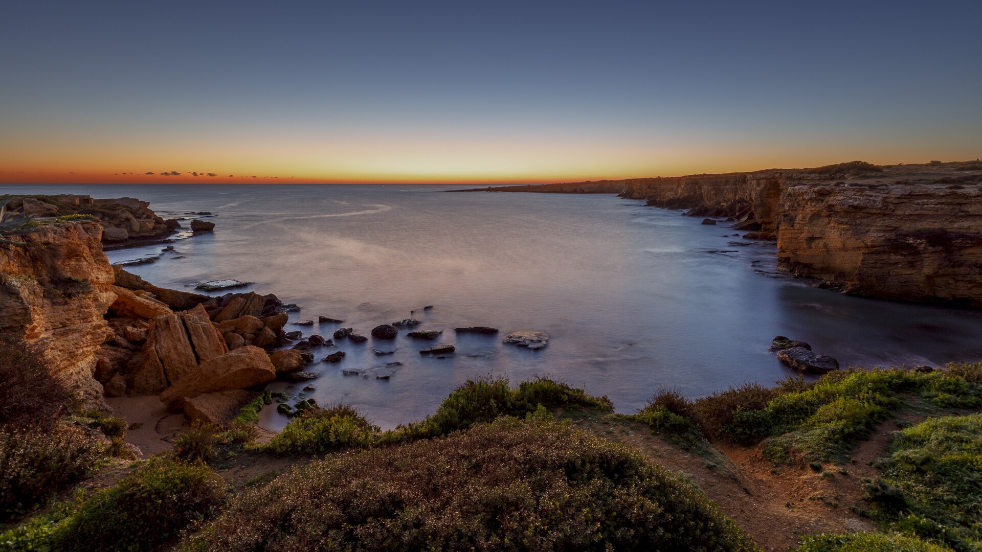
Italy · Terrestrial
Alcantara River Park
Regional nature park of 1,927 hectares in Italy, established in 2001.
Overview
Regional nature park of 1,927 hectares in Italy, established in 2001.
Alcantara River Park is a regional nature park in Italy (Europe). It is a predominantly terrestrial area. Established in 2001, it covers about 1,927 hectares. The site is managed by Ente Parco Fluviale dell'Alcantara.
Protections and designations
Natura 2000 · habitats (SAC) · 2 sites
- Contrada Sorbera e Contrada Gibiotti ITA070027
- Riserva naturale del Fiume Alcantara ITA030036
Protected as a regional nature park. International labels and designations: Natura 2000 network (2 sites).
In our collections
Frequently asked questions
Where is Alcantara River Park?
In Italy (Europe). Representative point: 37.8763° N, 15.1714° E.
How large is Alcantara River Park?
About 1,927 hectares (19 km²). It is the 91st largest of the 128 regional parks in Italy covered by Parkavela.
When was Alcantara River Park established?
In 2001.
What habitats and landscapes does Alcantara River Park include?
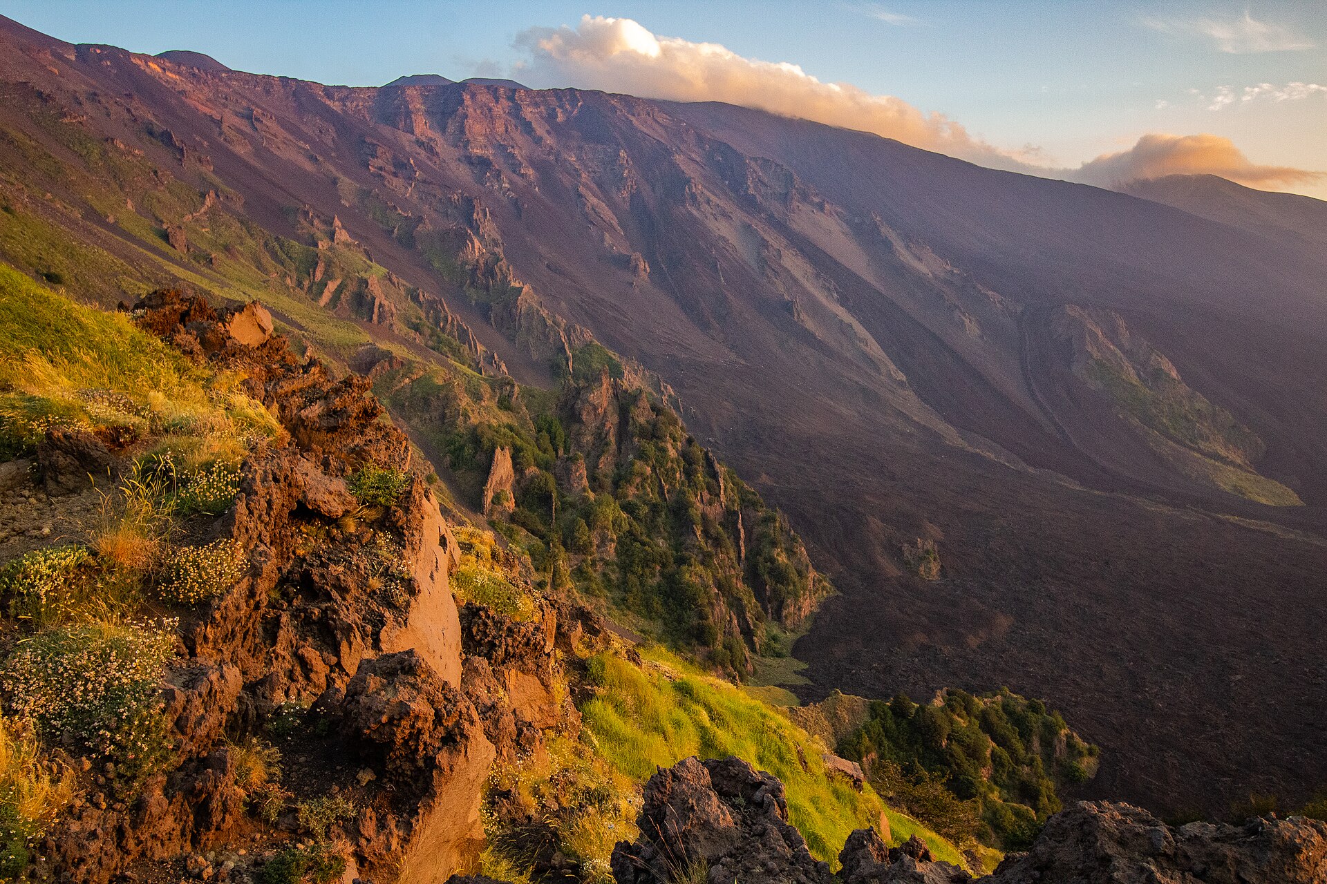
A terrestrial area, with mountains.
What rocks lie beneath Alcantara River Park?
According to the European 1:1 million geological map (EGDI), the bedrock consists mainly of marly limestones (86% of sampled points) and andesites and dacites (14%). These are mostly sedimentary rocks. The geological units date mainly from the Cenozoic (86% of sampled points).
What is the highest point of Alcantara River Park?
Monte Culma, at 801 m (OpenStreetMap).
What are the main summits of Alcantara River Park?
Monte Culma (801 m), Poggio Coddavina (679 m), Serra Vutturi (630 m), Monte Mojo (629 m) and Monte Miramare (584 m) (OpenStreetMap).
Which international labels apply to Alcantara River Park?
Natura 2000 network (2 sites).
When is the best time to visit Alcantara River Park?
Best time to visit: from April to June and from September to November, with average temperatures of 14 to 24 °C and moderate rainfall.
What is there to see in Alcantara River Park?
10 viewpoints, 4 waterfalls and 2 caves, including Belvedere, Cascatella di Gravà, Grotta dei Cento Cavalli and Love Terrace (OpenStreetMap).
Where can I stay in Alcantara River Park?
4 campsites, including Agripark, Area CAmper Goel Alcantara and Camping-Glamping Gole Alcantara Lanternavacanze (OpenStreetMap).
Are there historic monuments in Alcantara River Park?
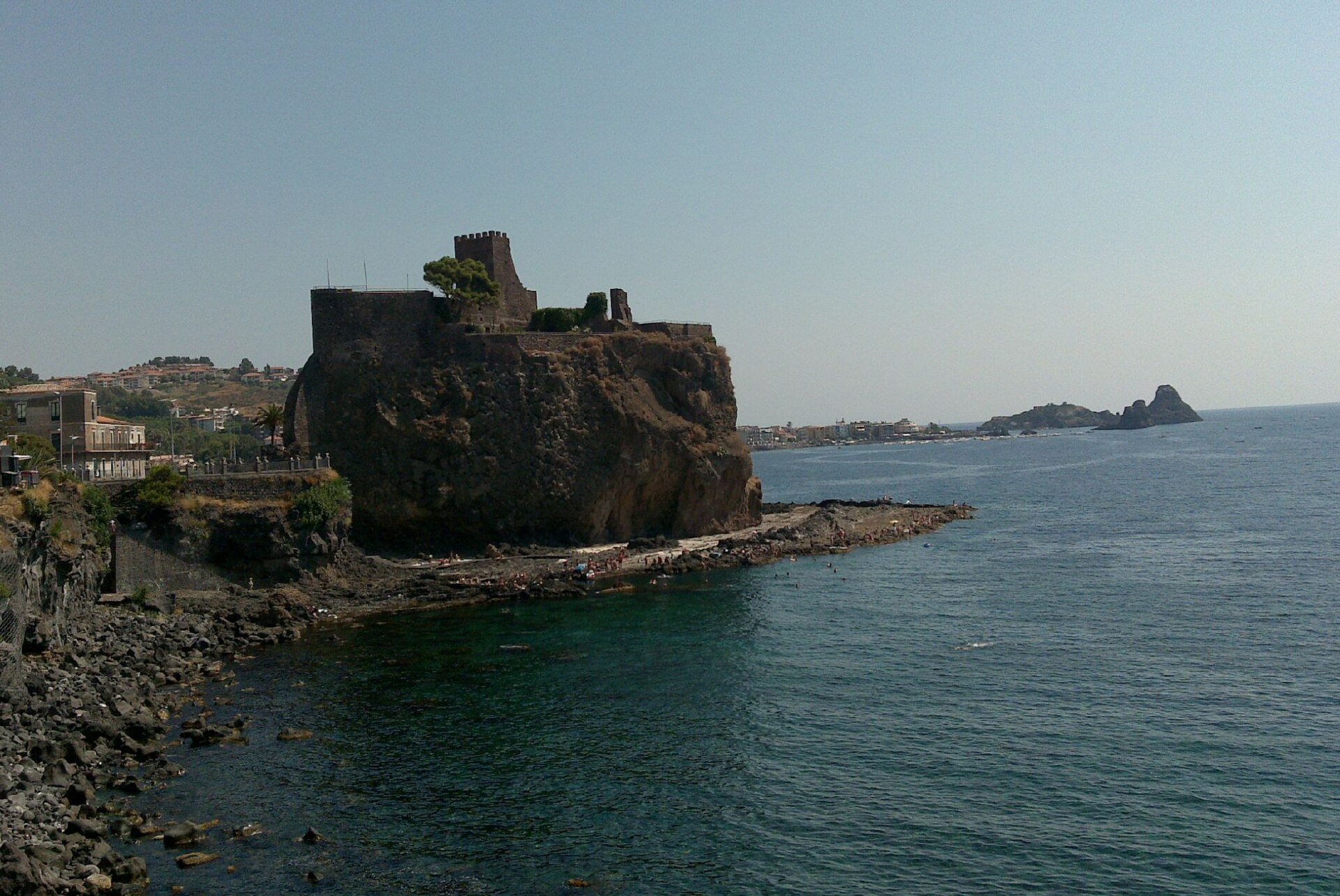
Yes. According to Wikidata, 3 monuments protected as Italian national cultural heritage stand within the boundary. For example: “San Nicola's church” in Castiglione di Sicilia, “Castello” in Calatabiano and “Castello di Francavilla di Sicilia” in Francavilla di Sicilia.
Can you swim in Alcantara River Park?
5 monitored bathing sites lie in or within 1 km of the site; official 2025 classification: 3 excellent, 1 good and 1 sufficient (European Environment Agency). Swimming is only permitted at the sites and times authorised locally.
What is the nearest large city to Alcantara River Park?
Nearest towns of over 50,000 people, as the crow flies: Acireale (23 km) and Catania (37 km). Nearest airport: Catania-Fontanarossa (CTA), about 41 km away.
How can I reach Alcantara River Park by train?
The nearest railway station is Calatabiano, about 1 km from the site boundary.
Where can I get visitor information on site?
Gole dell'Alcantara and Pro Loco.
Are there waymarked hiking trails in Alcantara River Park?
Yes. Waymarked hiking routes listed in OpenStreetMap: 12. The “Sentiero delle Ginestre Tappa n. 5” route runs for about 8 km through the site.
Which species can be seen in Alcantara River Park?
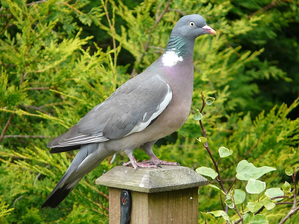
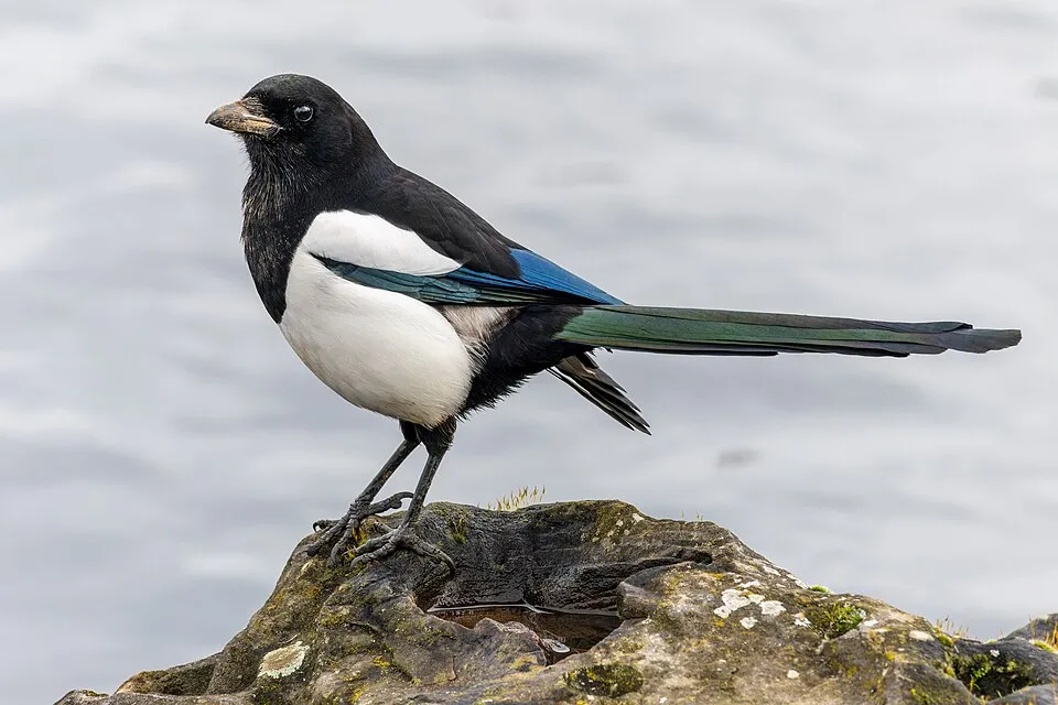
Among the species most often recorded on GBIF are Columba palumbus (Common Wood Pigeon), Rhaphiolepis bibas, Pica pica (Eurasian Magpie) and Corvus cornix (Hooded Crow).
Who manages Alcantara River Park?
Ente Parco Fluviale dell'Alcantara.
© OpenStreetMap
Download the boundary: GeoJSON · GPX Boundary © OpenStreetMap contributors (ODbL).
Geography
The representative point of the site lies at around 289 m above sea level. Over the 1996–2025 period, the mean annual temperature is about 17.6 °C and total precipitation reaches roughly 1,032 mm per year. The warmest month is usually July, the coolest January, and the wettest October. According to the European 1:1 million geological map (EGDI), the bedrock consists mainly of marly limestones (86% of sampled points) and andesites and dacites (14%). These are mostly sedimentary rocks. The geological units date mainly from the Cenozoic (86% of sampled points).
Area
- Area
- 1,927 ha
- Elevation
- 289 m
- Median elevation
- 298 m
- Mean slope
- 14°
- Coordinates
- 37.8763, 15.1714
Terrain: Mapzen Terrain Tiles (SRTM, USGS)
Bedrock
- Marly limestones 86 %
- Andesites and dacites 14 %
Sedimentary rocks 86 % · Igneous rocks 14 % · Main age: Cenozoic (86%)
Source: EGDI 1:1M geological map (EuroGeoSurveys and national geological surveys), CC BY 4.0 · 7 sampled points within the site.
Main summits
- Monte Culma801 m
- Poggio Coddavina679 m
- Serra Vutturi630 m
- Monte Mojo629 m
- Monte Miramare584 m
Data © OpenStreetMap contributors (ODbL)
Climate
● Mean temperature (°C) · ▮ Precipitation (mm)
Source: Copernicus ERA5-Land (C3S, doi:10.24381/cds.68d2bb30), monthly averages 1996–2025 interpolated to the representative point, temperatures adjusted for elevation.
Contains modified Copernicus Climate Change Service information 2026. Neither the European Commission nor ECMWF is responsible for any use that may be made of the Copernicus information or data it contains.
Natural habitats
According to CORINE Land Cover (2018), the site is mainly made up of farmland (55%), forests (17%) and sparsely vegetated land (13%). Elevation ranges from about 40 m to 801 m (highest point: Monte Culma). The 2 Natura 2000 sites overlapping the area list 14 habitats of European interest (3 priority), the most extensive being pseudo-steppe with grasses and annuals of the Thero-Brachypodietea, eastern white oak woods and Platanus orientalis and Liquidambar orientalis woods (Platanion orientalis).
Biodiversity
Based on occurrences aggregated by GBIF, several species are regularly recorded within the site. Among the most frequent are Columba palumbus (Common Wood Pigeon), Rhaphiolepis bibas, Pica pica (Eurasian Magpie) and Corvus cornix (Hooded Crow). The full list of documented taxa is shown below. The overlapping Natura 2000 sites list 15 species of European interest: 1 mammal, 7 reptiles, 3 amphibians, 2 invertebrates and 2 plants.
Habitats of European interest
From the official forms of the 2 Natura 2000 sites overlapping the area (areas reported for each whole site).
- Pseudo-steppe with grasses and annuals of the Thero-Brachypodietea priority 710 ha
- Eastern white oak woods priority 376 ha
- Platanus orientalis and Liquidambar orientalis woods (Platanion orientalis) 58 ha
- Southern riparian galleries and thickets (Nerio-Tamaricetea and Securinegion tinctoriae) 58 ha
- Salix alba and Populus alba galleries 52 ha
- Constantly flowing Mediterranean rivers with Paspalo-Agrostidion species and hanging curtains of Salix and Populus alba 37 ha
- Constantly flowing Mediterranean rivers with Glaucium flavum 20 ha
- Quercus ilex and Quercus rotundifolia forests 17 ha
and 6 more
Species of European interest
Mammals · 1
Reptiles · 7
Ocellated skink (Chalcides ocellatus), Smooth snake (Coronella austriaca), Sicilian pond turtle (Emys trinacris), Western Whip Snake (Hierophis viridiflavus), Green lizard (Lacerta viridis), Italian wall lizard (Podarcis siculus), Italian Aesculapian Snake (Zamenis lineatus)
Amphibians · 3
Green Toad (Bufotes viridis complex), Painted Frog (Discoglossus pictus), Edible frog (Pelophylax esculentus)
Invertebrates · 2
Jersey Tiger (Euplagia quadripunctaria), Willowherb Hawkmoth (Proserpinus proserpina)
Plants · 2
Dianthus rupicola, Butcher's-broom (Ruscus aculeatus)
Source: Natura 2000 standard data forms (EEA, CC-BY 4.0). Not exhaustive: sensitive species are not published.
Species to look out for


Bird
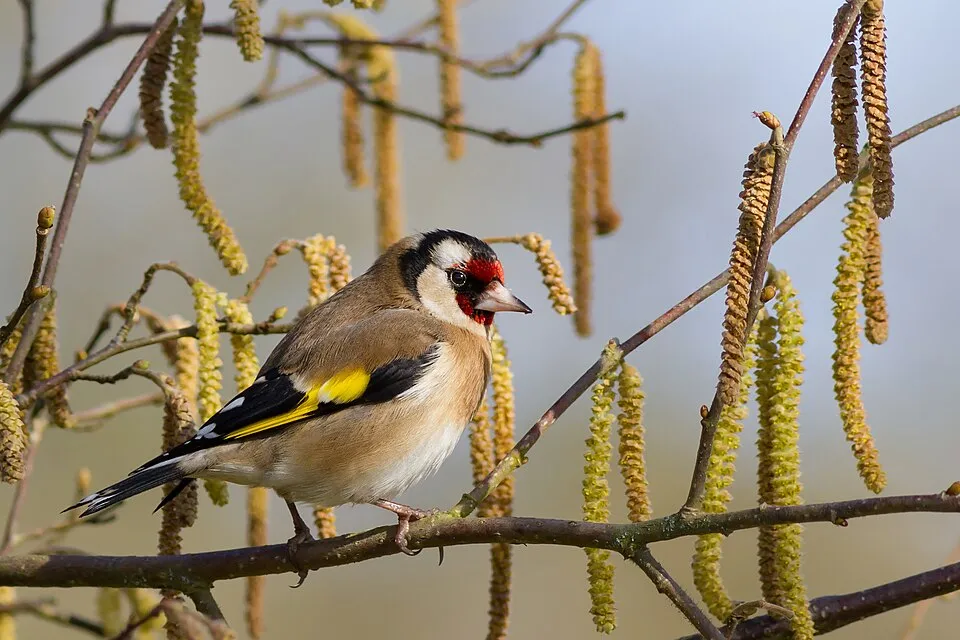
Hooded Crow
Corvus cornix23 records © Ricardo Tulio Gandelman from Rio de Janeiro, Brazil · CC BY 2.0
Observed species
Occurrences documented via GBIF; they are neither an exhaustive inventory nor proof of current presence.
- Common Wood Pigeon · Columba palumbus · 41
- Rhaphiolepis bibas · 37
- Eurasian Magpie · Pica pica · 33
- Rock Dove · Columba livia · 24
- Hooded Crow · Corvus cornix · 23
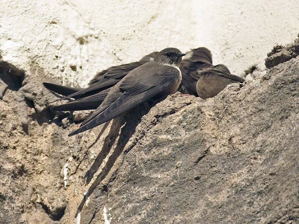
- Eurasian Crag Martin · Ptyonoprogne rupestris · 23
- European Goldfinch · Carduelis carduelis · 21
- Eurasian Jay · Garrulus glandarius · 20
- Eurasian Collared Dove · Streptopelia decaocto · 19
- Grey Wagtail · Motacilla cinerea · 16
- Italian Sparrow · Passer italiae · 16
- Great tit · Parus major · 16
Records: GBIF.org (CC-BY). Names: Wikidata (CC0), GBIF. Photos: Wikimedia Commons.
Conservation challenges
The primary purpose of the site is to preserve its natural habitats and the biodiversity they support. The species recorded (Biodiversity tab) reflect its ecological value. The designations it holds frame its management and the control of land use.
According to Global Forest Change data (University of Maryland, Global Forest Watch), about 45 ha of tree cover were lost within the boundary between 2001 and 2023 (2% of its area), peaking in 2007 and 2021. These losses include logging, storms and fires, and do not account for regrowth. According to CORINE Land Cover, land cover here remained almost unchanged between 1990 and 2018 (less than 0.5% of the area affected). Since 2016, the European EFFIS system (Copernicus) has mapped 27 fires here, burning about 1,351 ha within the boundary; the largest, in August 2024 (near Castiglione di Sicilia), covered 288 ha. At night, 66% of the area gives off artificial light detectable from space (NASA VIIRS Black Marble composite, 2016). Built-up and developed land (buildings, business areas, roads, quarries) covers 1% of the area, and farmland 55% (CORINE Land Cover). According to the Natura 2000 forms, of 9 assessed habitats of European interest, 3 are in average or reduced condition and the rest in good condition. According to the Water Framework Directive assessment (2022 river basin management plans, data 2014–2019), only 27% of the 13 km of rivers assessed within the site are in good or high ecological status; the others mostly have moderate ecological status. Since 2000, 5 invasive alien species have been recorded within the site (GBIF observations), one of them listed as of Union concern under EU Regulation 1143/2014. Among them: Ailanthus altissima (Tree-of-heaven), Ricinus communis (Castor oil plant) and Arundo donax (Giant Reed).
Pressure indicators
Tree cover lost
45 ha
2001–2023 · 2% of the area
20012023
Fires since 2016
1,351 ha
burned within the boundary (27 mapped fires)
- 2024 · Castiglione di Sicilia · 288 ha
- 2017 · Castiglione di Sicilia · 164 ha
- 2026 · Castiglione di Sicilia · 119 ha
Light at night
66%
of the area gives off artificial light visible from space
DarkLit
Built-up land
1%
buildings, business areas, roads, quarries · farmland 55%
Land cover change
< 0.5%
of the area changed, 1990–2018 · CORINE
Rivers and lakes
27%
of the 13 km of assessed rivers in good or high ecological status · WFD 2022
assessments 2014–2019
Invasive alien species
5
incl. 1 of EU concern · since 2000
 Tree-of-heaven
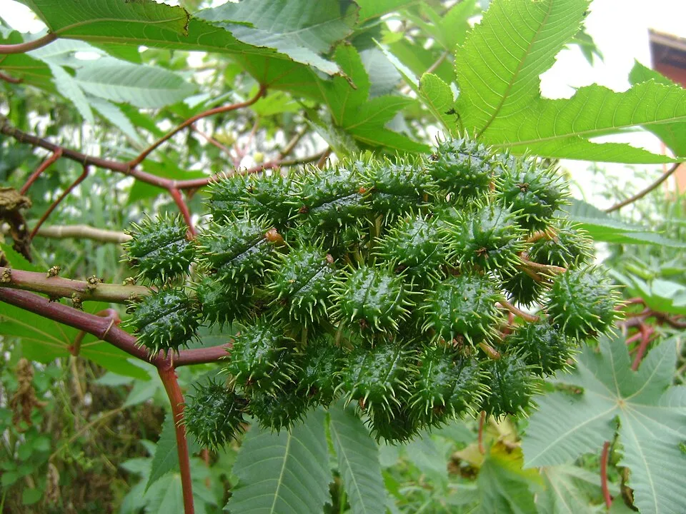 Castor oil plant
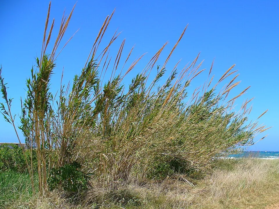 Giant Reed
 Bermuda buttercup
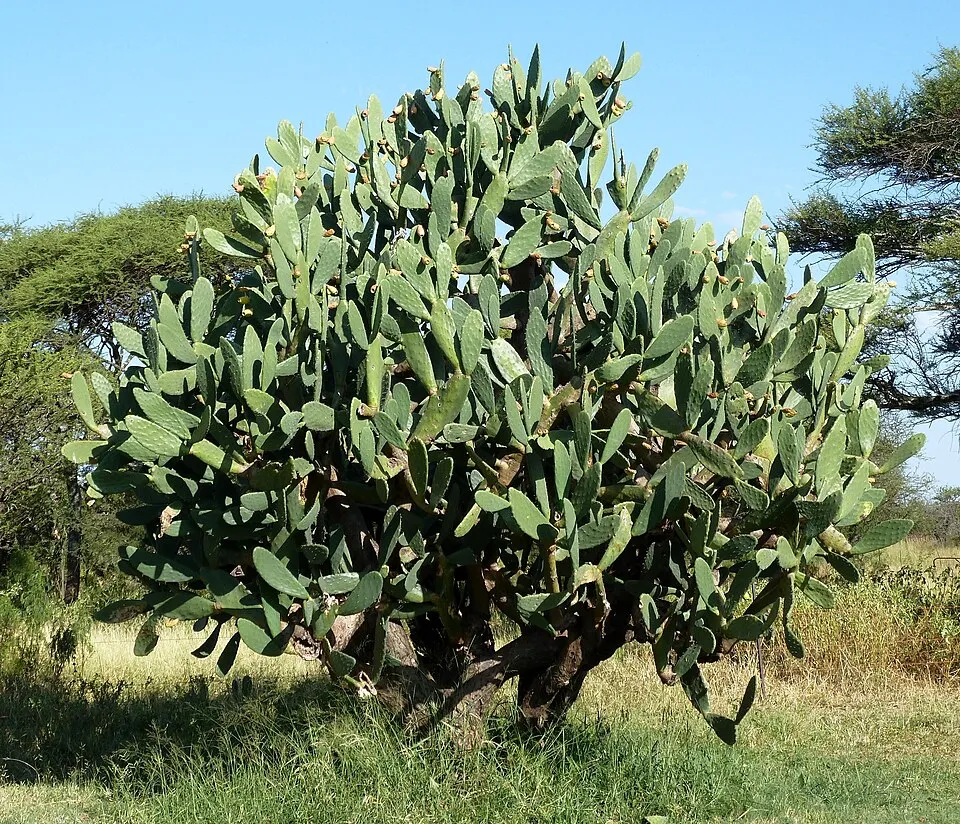 Tuna Cactus
Photos: Tree-of-heaven © Darkone · CC BY-SA 2.5; Castor oil plant © Onjacktallcuca · Public domain; Giant Reed © H. Zell · CC BY-SA 3.0; Bermuda buttercup © MathKnight and Zachi Evenor אביר המתמטיקה וצחי אבנור · CC BY-SA 4.0; Tuna Cactus © JMK · CC BY-SA 3.0
Sources: Global Forest Change (Hansen et al., University of Maryland, via Global Forest Watch, CC-BY 4.0); EFFIS, European Commission / Copernicus; NASA Black Marble 2016 (public domain); CORINE Land Cover 2018 (Copernicus) or MODIS.
CORINE Land Cover Change 1990–2018: generated using European Union's Copernicus Land Monitoring Service information (EEA), aggregated by Parkavela; DOI 10.2909/f30f1000-7cf8-43bb-872c-5eb093911b24.
Ecological status of water bodies: European Environment Agency, WISE – Water Framework Directive, 3rd river basin management plans (2022), CC BY 4.0. Official national classification, not comparable between countries.
Invasive alien species: Global Register of Introduced and Invasive Species (ISSG, CC BY 4.0); Union list, Regulation (EU) 1143/2014 (INBO, CC0); GBIF.org records (CC0 / CC BY 4.0), at least 2 per species.
Practical information
Cities and airport
- Acireale
23 km as the crow flies - Catania
37 km as the crow flies - Airport: Catania-Fontanarossa (CTA)
41 km as the crow flies
Visitor information
- Gole dell'Alcantara
within the site - Pro Loco
2 km from the site boundary
Things to see
10 viewpoints · 4 waterfalls · 2 caves
- Belvedere
viewpoint - Cascatella di Gravà
waterfall - Grotta dei Cento Cavalli
cave - Love Terrace
viewpoint - Gole dell'Alcantara
waterfall
Where to stay
4 campsites
- Agripark
campsite - Area CAmper Goel Alcantara
campsite - Camping-Glamping Gole Alcantara Lanternavacanze
campsite
Hiking
12 waymarked routes listed
By bike
Appennino Bike Tour [ABT] · 9 km
Signed cycle routes: this does not mean that cycling is allowed on footpaths.
Data © OpenStreetMap contributors (ODbL) · Wikidata (CC0)
Routes © OpenStreetMap contributors (ODbL), via Waymarked Trails
Waymarked hiking routes
846 Sentiero Vulcanetto di Moio
1.2 km within the site ↗ 76 m↘ 33 m 598–680 m
up to T2 · mountain hiking
Tracks © OpenStreetMap contributors (ODbL), clipped to the boundary; elevation gain and profiles computed on the longest section from Mapzen Terrain Tiles (≈ 30 m), indicative only. Indicative difficulty (SAC scale, OpenStreetMap, via Waymarked Trails): check with the park.
Bathing
5 monitored bathing sites in or within 1 km of the site · 2025 classification
Excellent · 3
Good · 1
Sufficient · 1
- Acqua Park · sea · Excellent
- Fiume Alcantara · sea · Excellent
- Hellenia Holiday Inn · sea · Excellent
- Torrente Minissale 25 M. Nord · sea · Good
- Fiume Alcantara Sud · sea · Sufficient
Source: European Environment Agency, official bathing water classification (Directive 2006/7/EC, CC-BY 4.0). Swimming is only permitted at the sites and times authorised locally.
Access and visiting
The nearest railway station is Calatabiano, about 1 km from the site boundary. Nearest towns of over 50,000 people, as the crow flies: Acireale (23 km) and Catania (37 km). Nearest airport: Catania-Fontanarossa (CTA), about 41 km away. About 180,000 people live within 20 km of the site boundary, 91,000 of them within 10 km; some 1,500 people are estimated to live inside (GHSL estimate, 2020). Visitor information on site: Gole dell'Alcantara and Pro Loco. Waymarked hiking routes listed in OpenStreetMap: 12. A signed cycle route crosses the site: “Appennino Bike Tour [ABT]” (OpenStreetMap). To see: 10 viewpoints, 4 waterfalls and 2 caves, including Belvedere, Cascatella di Gravà, Grotta dei Cento Cavalli and Love Terrace. Where to stay: 4 campsites, including Agripark, Area CAmper Goel Alcantara and Camping-Glamping Gole Alcantara Lanternavacanze. To plan a visit (access, opening periods, visitor rules), it is best to consult the official information from the managing body (Ente Parco Fluviale dell'Alcantara) and the official website listed in this page's sources.
Source: OpenStreetMap (ODbL), Wikidata (CC0), October 2026.
Built heritage
According to Wikidata, 3 monuments protected as Italian national cultural heritage stand within the boundary. Examples include “San Nicola's church” in Castiglione di Sicilia, “Castello” in Calatabiano and “Castello di Francavilla di Sicilia” in Francavilla di Sicilia.
2 castles and fortifications1 religious building
-
San Nicola's church
Castiglione di Sicilia -
Castello
Calatabiano -
Castello di Francavilla di Sicilia
Francavilla di Sicilia
Source: Wikidata (CC0), monuments in each country’s official heritage protection registers, at national or regional level. Each item links to its Wikidata entry.
When to visit
Best time to visit: from April to June and from September to November, with average temperatures of 14 to 24 °C and moderate rainfall. Day length ranges from about 9 h 33 min in December to 14 h 46 min in June. Wildlife records published on GBIF peak for plants (April) and butterflies and moths (May). These peaks also reflect when observers are most active.
Source: Copernicus ERA5-Land (C3S), monthly averages 1996–2025 at the representative point, temperatures adjusted for elevation.
Contains modified Copernicus Climate Change Service information 2026. Neither the European Commission nor ECMWF is responsible for any use that may be made of the Copernicus information or data it contains.
Wildlife records calendar
JFMAMJJASOND
Birds
Plants
Butterflies & moths
Monthly records published on GBIF (CC-BY), relative to the busiest month; also reflects observer activity.
Gallery
© Massimo Salmeri · CC BY-SA 4.0
© Cayambe · CC BY 4.0
© Pannucci Stefano · CC BY-SA 4.0
© Siciliathisma · CC BY-SA 4.0
© Cayambe · CC BY 4.0
© Massimo Salmeri · CC BY-SA 4.0
Sources and licences
- Wikidata: Q3895605
- OpenStreetMap: relation 3308923
- Wikipedia: fr.wikipedia.org/wiki/Parc_fluvial_de_l'Alcantara
- WDPA: 178987
References
- cds.climate.copernicus.eu: climate · CC-BY-4.0
- registry.opendata.aws: elevation of the reference point, detailed relief · PD
- land.copernicus.eu: land cover, land cover change, sea share · COPERNICUS
- doi.org: population around the site · CC-BY-4.0
- wikidata.org: official area, establishment date, protected heritage, managing body, official name, nearby cities and airport, access and peaks, lake depths, places to see · CC0-1.0
- eea.europa.eu: bathing water quality, ecological status of waters · CC-BY-4.0
- en.eurovelo.com: EuroVelo cycle routes · ODbL-1.0
- cycling.waymarkedtrails.org: cycle routes · ODbL-1.0
- opentopodata.org: elevations · PD
- forest-fire.emergency.copernicus.eu: wildfires · COPERNICUS
- globalforestwatch.org: tree cover loss · CC-BY-4.0
- gbif.org: seasonality of sightings, invasive alien species, observed species · CC-BY-4.0
- europe-geology.eu: geology · CC-BY-4.0
- hydrosheds.org: lakes · CC-BY-4.0
- natura2000.eea.europa.eu: Natura 2000 habitats and species · CC-BY-4.0
- earthobservatory.nasa.gov: night light · PD
- openstreetmap.org: access and peaks, places to see, trail difficulty, wheelchair access · ODbL-1.0
- hiking.waymarkedtrails.org: route difficulty · ODbL-1.0
- nsidc.org: snow cover · PD
- wikidata.org: Wikipedia article · CC-BY-SA-4.0
Data © OpenStreetMap contributors (ODbL), Wikidata (CC0) and the sources cited.