
Italy · Terrestrial
Foreste Casentinesi, Monte Falterona, Campigna National Park
National park of 36,800 hectares in Italy, established in 1993.
Overview
National park of 36,800 hectares in Italy, established in 1993.
Foreste Casentinesi, Monte Falterona, Campigna National Park is located in Italy (Europe). It is a predominantly terrestrial area. Established in 1993, it covers about 36,800 hectares.
Protections and designations
UNESCO World Heritage
Natura 2000 · habitats (SAC) · 11 sites
- Acquacheta IT4080002
- Alta Vallesanta IT5180005
- Crinale Monte Falterona - Monte Falco - Monte Gabrendo IT5180001
- Foresta di Campigna, Foresta la Lama, Monte Falco IT4080001
- Foreste Alto Bacino dell'Arno IT5180002
- Foreste di Camaldoli e Badia Prataglia IT5180018
- and 5 more
Natura 2000 · birds (SPA) · 5 sites
- Acquacheta IT4080002
- Camaldoli, Scodella, Campigna, Badia Prataglia IT5180004
- Foresta di Campigna, Foresta la Lama, Monte Falco IT4080001
- Monte Gemelli, Monte Guffone IT4080003
- Rami del Bidente, Monte Marino IT4080011
Protected as a national park. International labels and designations: UNESCO World Heritage (“Ancient and Primeval Beech Forests of the Carpathians and Other Regions of Europe”) and Natura 2000 network (12 sites). Key dates: first Natura 2000 site under the Birds Directive in 1988, established in 1993 and World Heritage listing in 2017.
In our collections
Timeline
-
1988
First Natura 2000 site under the Birds Directive 4 such sites designated up to 2012
-
1993
Established
-
2017
Inscribed as a UNESCO World Heritage Site Ancient and Primeval Beech Forests of the Carpathians and Other Regions of Europe
Sources: Wikidata (CC0) for establishment and international labels; EEA Natura 2000 database (CC-BY 4.0) for site designation dates.
Frequently asked questions
Where is Foreste Casentinesi, Monte Falterona, Campigna National Park?
In Italy (Europe). Representative point: 43.8433° N, 11.7911° E.
How large is Foreste Casentinesi, Monte Falterona, Campigna National Park?
About 36,800 hectares (368 km²). It is the 17th largest of the 26 national parks in Italy covered by Parkavela.
When was Foreste Casentinesi, Monte Falterona, Campigna National Park established?
In 1993.
What habitats and landscapes does Foreste Casentinesi, Monte Falterona, Campigna National Park include?
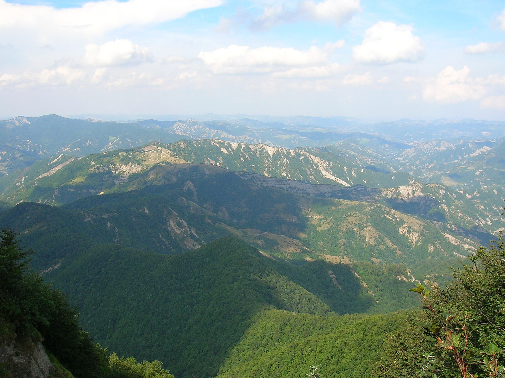
A terrestrial area, with forests and mountains.
What rocks lie beneath Foreste Casentinesi, Monte Falterona, Campigna National Park?
According to the European 1:1 million geological map (EGDI), the bedrock consists mainly of marly limestones (83% of sampled points). These are mostly sedimentary rocks. The geological units date mainly from the Neogene (58% of sampled points).
What is the highest point of Foreste Casentinesi, Monte Falterona, Campigna National Park?
Monte Falco, at 1,657 m (OpenStreetMap).
What are the main summits of Foreste Casentinesi, Monte Falterona, Campigna National Park?
Monte Falco (1,657 m), Monte Falterona (1,654 m), Poggio Piancancelli (1,575 m), Poggio Sodo dei Conti (1,559 m) and Monte Gabrendo (1,540 m) (OpenStreetMap).
Which international labels apply to Foreste Casentinesi, Monte Falterona, Campigna National Park?
UNESCO World Heritage (“Ancient and Primeval Beech Forests of the Carpathians and Other Regions of Europe”) and Natura 2000 network (12 sites).
When is the best time to visit Foreste Casentinesi, Monte Falterona, Campigna National Park?
Best time to visit: from June to September, with average temperatures of 12 to 17 °C and moderate rainfall.
What is there to see in Foreste Casentinesi, Monte Falterona, Campigna National Park?
61 viewpoints, 18 waterfalls, 5 lakes and ponds, 5 caves and 1 bird hide, including Belvedere Braccina (950 m), Cascata Cà del Vento (720 m), Grotta urlante di Premilcuore and Buca del sasso delle fate (OpenStreetMap).
Where can I stay in Foreste Casentinesi, Monte Falterona, Campigna National Park?
29 mountain huts and 5 campsites, including Rifugio "La Burraia" (1,447 m), Campeggio Capanno and Rifugio Fontanelle (1,389 m) (OpenStreetMap).
Are there historic monuments in Foreste Casentinesi, Monte Falterona, Campigna National Park?
Yes. According to Wikidata, 25 monuments protected as Italian national cultural heritage stand within the boundary. For example: “Chiesa di San Nicolò di Castel dell'Alpe” in Premilcuore, “Casa Valvitole” in Portico e San Benedetto and “Lake of the Idols” in San Godenzo.
What is the nearest large city to Foreste Casentinesi, Monte Falterona, Campigna National Park?
Nearest towns of over 50,000 people, as the crow flies: Arezzo (27 km) and Faenza (31 km). Nearest airport: Forlì-Ravenna (FRL), about 34 km away.
How can I reach Foreste Casentinesi, Monte Falterona, Campigna National Park by train?
The nearest railway station is Contea-Londa, about 8 km from the site boundary.
Where can I get visitor information on site?
Punto Informazioni e Museo Ornitologico di Camaldoli, Centro Visite di Badia Prataglia and Punto Informazioni di Campigna "La Villetta".
Are there waymarked hiking trails in Foreste Casentinesi, Monte Falterona, Campigna National Park?
Yes. Waymarked hiking routes listed in OpenStreetMap: 243, including E 1, Via Romea, Sentiero di spartiacque appenninico and Cammino di Assisi. The “CAssisi · Cammino di Assisi” route runs for about 61 km through the site, with some 1,980 m of ascent on its longest section.
Which species can be seen in Foreste Casentinesi, Monte Falterona, Campigna National Park?
Among the species most often recorded on GBIF are Fagus sylvatica (European Beech), Quercus cerris (Turkey Oak), Abies alba (Silver Fir) and Castanea sativa (Sweet Chestnut).
What is the official website of Foreste Casentinesi, Monte Falterona, Campigna National Park?
© OpenStreetMap
Download the boundary: GeoJSON · GPX Boundary © OpenStreetMap contributors (ODbL).
Geography
The representative point of the site lies at around 1,449 m above sea level. Over the 1996–2025 period, the mean annual temperature is about 7.2 °C and total precipitation reaches roughly 1,050 mm per year. The warmest month is usually July, the coolest January, and the wettest November. According to the European 1:1 million geological map (EGDI), the bedrock consists mainly of marly limestones (83% of sampled points). These are mostly sedimentary rocks. The geological units date mainly from the Neogene (58% of sampled points).
Area
- Area
- 36,800 ha
- Elevation
- 1,449 m
- Median elevation
- 902 m
- Mean slope
- 20°
- Coordinates
- 43.8433, 11.7911
Terrain: Mapzen Terrain Tiles (SRTM, USGS)
Elevation bands
- 500–1,000 m 67%
- 1,000–1,500 m 32%
- 1,500–2,000 m 1%
share of the site in each elevation band (smoothed terrain model: summits are rounded off) · Terrain: Mapzen Terrain Tiles (SRTM, USGS)
Bedrock
- Marly limestones 83 %
- Mudstones 8 %
- Limestones 8 %
Sedimentary rocks 100 % · Main age: Neogene (58%)
Source: EGDI 1:1M geological map (EuroGeoSurveys and national geological surveys), CC BY 4.0 · 12 sampled points within the site.
Main summits
- Monte Falco1,657 m
- Monte Falterona1,654 m
- Poggio Piancancelli1,575 m
- Poggio Sodo dei Conti1,559 m
- Monte Gabrendo1,540 m
- Poggio Martino1,535 m
- Poggio Scali1,520 m
- Pian delle Fontanelle1,512 m
- Poggio Lastraiolo1,485 m
- Monte Acuto1,484 m
Data © OpenStreetMap contributors (ODbL)
Climate
● Mean temperature (°C) · ▮ Precipitation (mm)
Source: Copernicus ERA5-Land (C3S, doi:10.24381/cds.68d2bb30), monthly averages 1996–2025 interpolated to the representative point, temperatures adjusted for elevation.
Contains modified Copernicus Climate Change Service information 2026. Neither the European Commission nor ECMWF is responsible for any use that may be made of the Copernicus information or data it contains.
Snow cover measured by satellite
J
F
M
A
M
J
J
A
S
O
N
D
average share of the site under snow · snowiest parts · ≈ 20 days a year
Snow cover: MODIS/Terra MOD10CM v61 (Hall & Riggs, 2021, NASA NSIDC DAAC, doi:10.5067/MODIS/MOD10CM.061), imagery from NASA GIBS (ESDIS); 2015–2025 average, grid of about 5 km.
Natural habitats
According to CORINE Land Cover (2018), the site is mainly made up of forests (89%). Woodland is mostly broadleaved. Elevation ranges from about 570 m to 1,657 m (highest point: Monte Falco). Median elevation is 902 m, and 32% of the site lies above 1,000 m (SRTM elevation model). The terrain is steep: 11% of slopes exceed 30° (mean slope 20°). The 12 Natura 2000 sites overlapping the area list 33 habitats of European interest (8 priority), the most extensive being Asperulo-Fagetum beech forests, Pannonian-Balkanic turkey oak-sessile oak forests and Apennine beech forests with Abies alba and beech forests with Abies nebrodensis.
Biodiversity
Based on occurrences aggregated by GBIF, several species are regularly recorded within the site. Among the most frequent are Fagus sylvatica (European Beech), Quercus cerris (Turkey Oak), Abies alba (Silver Fir) and Castanea sativa (Sweet Chestnut). The full list of documented taxa is shown below. The overlapping Natura 2000 sites list 116 species of European interest: 53 birds, 22 mammals, 6 reptiles, 9 amphibians, 8 fish, 13 invertebrates and 5 plants.
Habitats of European interest
From the official forms of the 12 Natura 2000 sites overlapping the area (areas reported for each whole site).
- Asperulo-Fagetum beech forests 8,279 ha
- Pannonian-Balkanic turkey oak-sessile oak forests 2,937 ha
- Apennine beech forests with Abies alba and beech forests with Abies nebrodensis priority 2,624 ha
- Luzulo-Fagetum beech forests 2,239 ha
- Semi-natural dry grasslands and scrubland facies on calcareous substrates (Festuco-Brometalia) (* important orchid sites) 1,780 ha
- Tilio-Acerion forests of slopes, screes and ravines priority 1,046 ha
- Castanea sativa woods 994 ha
- Juniperus communis formations on heaths or calcareous grasslands 670 ha
and 25 more
Species of European interest
Birds · 53
Eurasian Goshawk (Accipiter gentilis) passage breeding resident, Eurasian Sparrowhawk (Accipiter nisus) resident, Common Kingfisher (Alcedo atthis) breeding passage, Tawny Pipit (Anthus campestris) breeding passage, Tree Pipit (Anthus trivialis) passage breeding resident, Common Swift (Apus apus) passage breeding, Golden Eagle (Aquila chrysaetos) passage wintering breeding resident, Great Egret (Ardea alba) passage, Bohemian Waxwing (Bombycilla garrulus) wintering, Eurasian Eagle-owl (Bubo bubo) breeding passage resident, European Nightjar (Caprimulgus europaeus) breeding passage resident, Eurasian Treecreeper (Certhia familiaris) passage breeding resident and 41 more
Mammals · 22
Barbastelle (Barbastella barbastellus), Grey wolf (Canis lupus), Serotine bat (Eptesicus serotinus), European wildcat (Felis silvestris), Savi's Pipistrelle (Hypsugo savii), Crested porcupine (Hystrix cristata), Common bent-wing bat (Miniopterus schreibersii), Western Polecat (Mustela putorius), Bechstein's bat (Myotis bechsteinii), Lesser mouse-eared myotis (Myotis blythii), Daubenton's bat (Myotis daubentonii), Geoffroy's bat (Myotis emarginatus) and 10 more
Reptiles · 6
Smooth snake (Coronella austriaca), Western Whip Snake (Hierophis viridiflavus), Western green lizard (Lacerta bilineata), Dice snake (Natrix tessellata), Common wall lizard (Podarcis muralis), Aesculapian Snake (Zamenis longissimus)
Amphibians · 9
Apennine Yellow-bellied Toad (Bombina pachypus), Italian Tree Frog (Hyla intermedia), Edible frog (Pelophylax esculentus), Agile frog (Rana dalmatina), Italian stream frog (Rana italica), Common frog (Rana temporaria), Spectacled Salamander (Salamandrina terdigitata), Italian Cave Salamander (Speleomantes italicus), Italian crested newt (Triturus carnifex)
Fish · 8
Brook barbel (Barbus caninus), Italian Barbel (Barbus plebejus), Italian Spined Loach (Cobitis bilineata), Arno goby (Padogobius nigricans), South European Nase (Protochondrostoma genei), South European Roach (Rutilus rubilio), Sicilian Trout (Salmo cetti), Italian Riffle Dace (Telestes muticellus)
Invertebrates · 13
White-clawed Crayfish (Austropotamobius pallipes), Eastern Eggar (Eriogaster catax), Marsh fritillary (Euphydryas aurinia), Jersey Tiger (Euplagia quadripunctaria), Stag beetle (Lucanus cervus), Large Blue (Maculinea arion), Hermit beetle (Osmoderma eremita), Apollo (Parnassius apollo), Clouded apollo (Parnassius mnemosyne), Rhysodes sulcatus, Rosalia longicorn (Rosalia alpina), Narrow-mouthed whorl snail (Vertigo angustior) and 1 more
Plants · 5
Buxbaumia moss (Buxbaumia viridis), Snowdrop (Galanthus nivalis), Adriatic lizard orchid (Himantoglossum adriaticum), Interrupted clubmoss (Lycopodium annotinum), Stag's-horn Clubmoss (Lycopodium clavatum)
Source: Natura 2000 standard data forms (EEA, CC-BY 4.0). Not exhaustive: sensitive species are not published.
Species to look out for
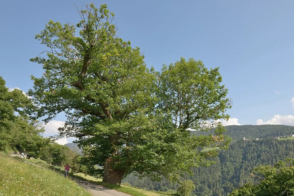
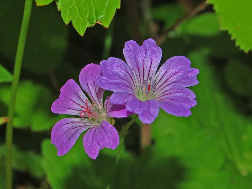
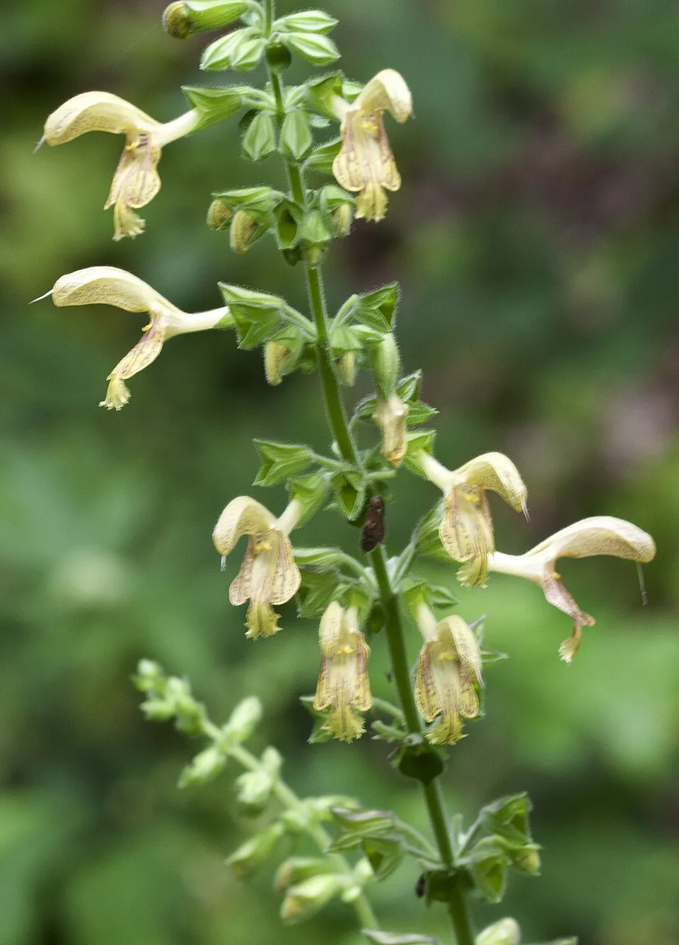
Observed species
Occurrences documented via GBIF; they are neither an exhaustive inventory nor proof of current presence.
- European Beech · Fagus sylvatica · 1085
- Turkey Oak · Quercus cerris · 289
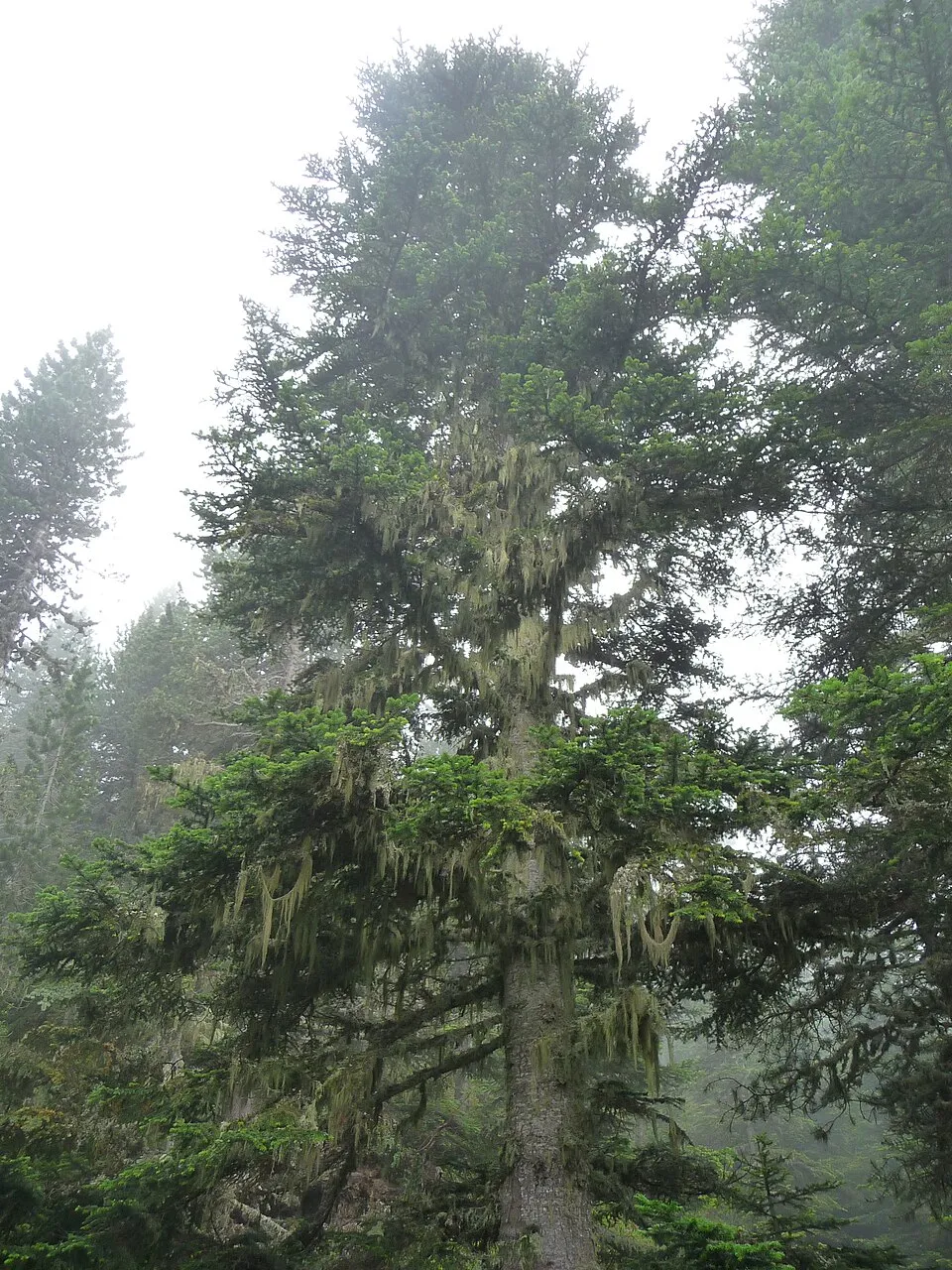
- Silver Fir · Abies alba · 187
- Sweet Chestnut · Castanea sativa · 122
- Knotted Crane's-bill · Geranium nodosum · 50
- Sticky clary · Salvia glutinosa · 45
- Eurasian Chaffinch · Fringilla coelebs · 42
- Common Chiffchaff · Phylloscopus collybita · 38
- Coal tit · Periparus ater · 36
- European Hop-hornbeam · Ostrya carpinifolia · 32
- Stinking Hellebore · Helleborus foetidus · 32
- Eurasian Jay · Garrulus glandarius · 31
+18 more species
- Spurge-laurel · Daphne laureola · 29
- Tansy · Tanacetum vulgare · 28
- Common Blackbird · Turdus merula · 27
- Brown Trout · Salmo trutta · 27
- Pinnate Coralroot · Cardamine heptaphylla · 26
- Pulmonaria hirta · 25
- Eurasian Nuthatch · Sitta europaea · 24
- European robin · Erithacus rubecula · 24
- Eurasian Crag Martin · Ptyonoprogne rupestris · 24
- Eurasian Wren · Troglodytes troglodytes · 24
- Eurasian blue tit · Cyanistes caeruleus · 23
- Short-toed Treecreeper · Certhia brachydactyla · 23
- Italian Alder · Alnus cordata · 22
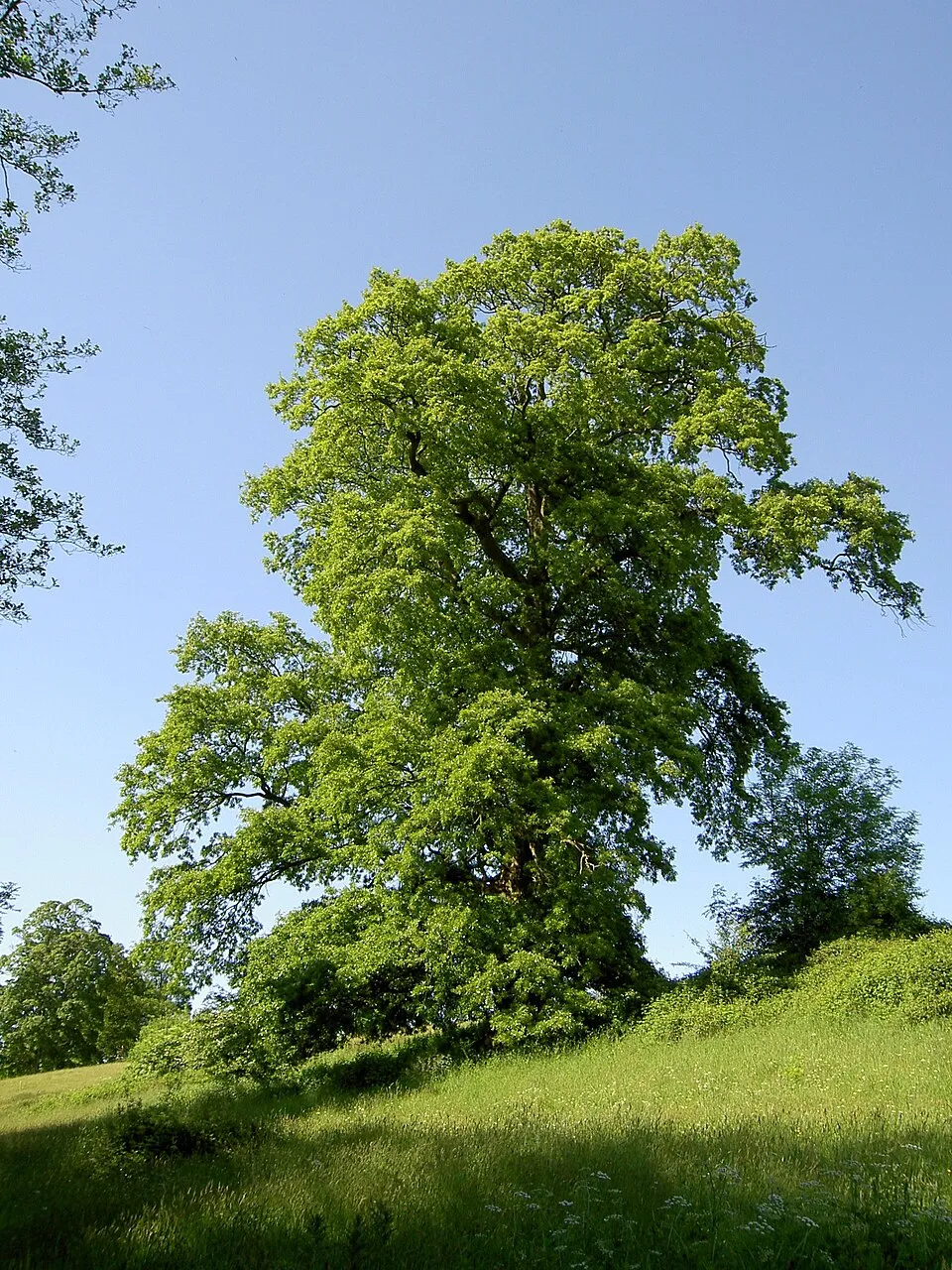
- Sycamore · Acer pseudoplatanus · 22
- Black Redstart · Phoenicurus ochruros · 22
- Common Firecrest · Regulus ignicapilla · 21
- Great tit · Parus major · 21
- Silky lady's-mantle · Alchemilla glaucescens · 20
Records: GBIF.org (CC-BY). Names: Wikidata (CC0), GBIF. Photos: Wikimedia Commons.
Conservation challenges
The primary purpose of the site is to preserve its natural habitats and the biodiversity they support. The species recorded (Biodiversity tab) reflect its ecological value. The designations it holds frame its management and the control of land use.
According to Global Forest Change data (University of Maryland, Global Forest Watch), about 311 ha of tree cover were lost within the boundary between 2001 and 2023 (under 1% of its area), peaking in 2018 and 2019. These losses include logging, storms and fires, and do not account for regrowth. Apart from forest felling and regrowth (about 620 ha in total), land cover remained almost unchanged between 1990 and 2018 according to CORINE Land Cover. At night, the area gives off virtually no artificial light detectable from space (NASA VIIRS Black Marble composite, 2016). According to the Natura 2000 forms, of 31 assessed habitats of European interest, 14 are in excellent condition and 2 in average or reduced condition. According to the Water Framework Directive assessment (2022 river basin management plans, data 2014–2020), 66% of the 125 km of rivers assessed within the site are in good or high ecological status. Other assessed water bodies: lakes, 1 of 1 in good ecological status or better. Since 2000, 6 invasive alien species have been recorded within the site (GBIF observations). Among them: Robinia pseudoacacia (Black locust), Rhus typhina (Staghorn sumac) and Abutilon theophrasti (Velvetleaf).
Pressure indicators
Tree cover lost
311 ha
2001–2023 · < 1% of the area
20012023
Fires since 2016
0
No large fire mapped (fires over about 30 ha)
Light at night
< 1%
of the area gives off artificial light visible from space
DarkLit
Built-up land
< 1%
buildings, business areas, roads, quarries · farmland 2%
Land cover change
< 0.5%
of the area changed, 1990–2018 · CORINE
forest felling and regrowth: 620 ha in total
Rivers and lakes
66%
of the 125 km of assessed rivers in good or high ecological status · WFD 2022
Lakes: 1 of 1 good or better
assessments 2014–2020
Invasive alien species
6
recorded since 2000
 Black locust
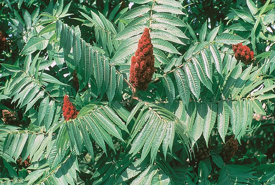 Staghorn sumac
 Velvetleaf
 Japanese rose
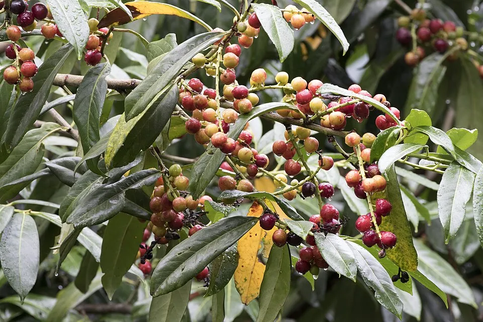 Cherry laurel
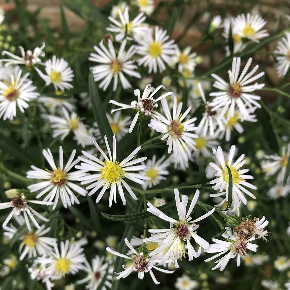 Panicled aster
Photos: Black locust © This Photo was taken by Wolfgang Moroder. Feel free to use my photos, but please mention me as the author and send me a message. This image is not in the public domain. Please respect the copyright protection. It may only be used according… · CC BY-SA 3.0; Staghorn sumac © Muggwort17 · Public domain; Velvetleaf © Salicyna · CC BY-SA 4.0; Japanese rose © Vihljun · Public domain; Cherry laurel © Zeynel Cebeci · CC BY-SA 4.0; Panicled aster © Elizabeth Ballard · CC BY-SA 4.0
Sources: Global Forest Change (Hansen et al., University of Maryland, via Global Forest Watch, CC-BY 4.0); EFFIS, European Commission / Copernicus; NASA Black Marble 2016 (public domain); CORINE Land Cover 2018 (Copernicus) or MODIS.
CORINE Land Cover Change 1990–2018: generated using European Union's Copernicus Land Monitoring Service information (EEA), aggregated by Parkavela; DOI 10.2909/f30f1000-7cf8-43bb-872c-5eb093911b24.
Ecological status of water bodies: European Environment Agency, WISE – Water Framework Directive, 3rd river basin management plans (2022), CC BY 4.0. Official national classification, not comparable between countries.
Invasive alien species: Global Register of Introduced and Invasive Species (ISSG, CC BY 4.0); Union list, Regulation (EU) 1143/2014 (INBO, CC0); GBIF.org records (CC0 / CC BY 4.0), at least 2 per species.
Practical information
Cities and airport
- Arezzo
27 km as the crow flies - Faenza
31 km as the crow flies - Airport: Forlì-Ravenna (FRL)
34 km as the crow flies
Visitor information
- Punto Informazioni e Museo Ornitologico di Camaldoli
within the site - Centro Visite di Badia Prataglia
within the site - Punto Informazioni di Campigna "La Villetta"
within the site - Centro Visita di San Benedetto in Alpe - Portico San Benedetto
< 1 km from the site boundary
Parking
69 public car parks listed within the site
antechiesa
Things to see
61 viewpoints · 18 waterfalls · 5 lakes and ponds · 5 caves · 1 bird hide
- Belvedere Braccina
viewpoint · 950 m - Cascata Cà del Vento
waterfall · 720 m - Grotta urlante di Premilcuore
lake or pond - Buca del sasso delle fate
cave - Belvedere del Bertone
viewpoint · 870 m
Where to stay
29 mountain huts · 5 campsites
- Rifugio "La Burraia"
Staffed hut · 1,447 m - Campeggio Capanno
campsite - Rifugio Fontanelle
Staffed hut · 1,389 m - Campeggio Sostenibile di Ridracoli
campsite - La Calla
Unstaffed hut · 1,296 m
Hiking
243 waymarked routes listed, including:
E 1Via RomeaSentiero di spartiacque appenninicoCammino di AssisiIl Cammino di Sant'AntonioVia di San Francesco, Firenze
Trail difficulty
- T1 · easy hiking · 25% · 113 km
- T2 · mountain hiking · 60% · 275 km
- T3–T6 · demanding or alpine hiking · 15% · 62 km
450 km graded out of 729 km of paths
SAC scale (T1–T6) © OpenStreetMap contributors (ODbL): indicative only, check with the park.
Data © OpenStreetMap contributors (ODbL) · Wikidata (CC0)
Waymarked hiking routes
E1 E1 Toscana 17 Passo del Muraglione - Passo della Calla
11.2 km within the site ↗ 599 m↘ 403 m 1,083–1,632 m
up to T3 · demanding mountain hiking
00 Sentiero di spartiacque appenninico
33.5 km within the site ↗ 1,421 m↘ 1,354 m 1,078–1,632 m
up to T3 · demanding mountain hiking
CSA Il Cammino di Sant'Antonio: Tappa 20
13.3 km within the site ↗ 943 m↘ 328 m 848–1,497 m
up to T2 · mountain hiking
SI Unnamed route
11.2 km within the site ↗ 406 m↘ 605 m 1,078–1,632 m
up to T3 · demanding mountain hiking
Via di San Francesco, Firenze – La Verna / direttrice nord
43.1 km within the site ↗ 1,344 m↘ 1,468 m 575–1,226 m
Tracks © OpenStreetMap contributors (ODbL), clipped to the boundary; elevation gain and profiles computed on the longest section from Mapzen Terrain Tiles (≈ 30 m), indicative only. Indicative difficulty (SAC scale, OpenStreetMap, via Waymarked Trails): check with the park.
Access and visiting
The nearest railway station is Contea-Londa, about 8 km from the site boundary. Nearest towns of over 50,000 people, as the crow flies: Arezzo (27 km) and Faenza (31 km). Nearest airport: Forlì-Ravenna (FRL), about 34 km away. About 160,000 people live within 20 km of the site boundary, 62,000 of them within 10 km; some 2,000 people are estimated to live inside (GHSL estimate, 2020). Visitor information on site: Punto Informazioni e Museo Ornitologico di Camaldoli, Centro Visite di Badia Prataglia and Punto Informazioni di Campigna "La Villetta". Public car parks listed within the site: 69, including antechiesa. Waymarked hiking routes listed in OpenStreetMap: 243, including E 1, Via Romea, Sentiero di spartiacque appenninico and Cammino di Assisi. Of the roughly 450 km of paths with a difficulty grade in OpenStreetMap, 25% are easy hiking (T1), 60% mountain hiking (T2) and 15% demanding or alpine hiking (T3–T6). This is indicative only: check with the park. To see: 61 viewpoints, 18 waterfalls, 5 lakes and ponds, 5 caves and 1 bird hide, including Belvedere Braccina (950 m), Cascata Cà del Vento (720 m), Grotta urlante di Premilcuore and Buca del sasso delle fate. Where to stay: 29 mountain huts and 5 campsites, including Rifugio "La Burraia" (1,447 m), Campeggio Capanno and Rifugio Fontanelle (1,389 m). To plan a visit (access, opening periods, visitor rules), it is best to consult the official information from the managing body and the official website listed in this page's sources.
Source: OpenStreetMap (ODbL), Wikidata (CC0), October 2026.
Built heritage
According to Wikidata, 25 monuments protected as Italian national cultural heritage stand within the boundary. Among them are 9 religious buildings, 8 bridges, lighthouses, mills and working buildings and 3 castles and fortifications. Examples include “Chiesa di San Nicolò di Castel dell'Alpe” in Premilcuore, “Casa Valvitole” in Portico e San Benedetto and “Lake of the Idols” in San Godenzo.
9 religious buildings8 bridges, lighthouses, mills and working buildings3 castles and fortifications2 houses and civic buildings1 prehistoric or archaeological site
-
Chiesa di San Nicolò di Castel dell'Alpe
Premilcuore · 20th c. -
Casa Valvitole
Portico e San Benedetto · 16th c. -
Lake of the Idols
San Godenzo -
Museo forestale "Carlo Siemoni"
Poppi · 20th c. -
Mulino delle Cortine
Bagno di Romagna -
Acquacheta Cascade
Portico e San Benedetto -
Chiesa di Sant'Andrea Corsini
Pratovecchio Stia -
Casone della Burraia
Santa Sofia · 19th c.
and 17 more
Source: Wikidata (CC0), monuments in each country’s official heritage protection registers, at national or regional level. Each item links to its Wikidata entry.
When to visit
Best time to visit: from June to September, with average temperatures of 12 to 17 °C and moderate rainfall. Average temperatures drop below 0 °C from December to February: frost is common. These averages apply to the site's representative point (1,449 m); higher up it is markedly cooler and snow lasts longer. Snow only makes brief appearances in winter (about 20 days a year on average, MODIS satellites 2015–2025). Day length ranges from about 8 h 55 min in December to 15 h 27 min in June. Wildlife records published on GBIF peak for birds (December and January), plants (from May to August), butterflies and moths (August), dragonflies (from June to August) and mammals (from July to September). These peaks also reflect when observers are most active.
Source: Copernicus ERA5-Land (C3S), monthly averages 1996–2025 at the representative point, temperatures adjusted for elevation.
Contains modified Copernicus Climate Change Service information 2026. Neither the European Commission nor ECMWF is responsible for any use that may be made of the Copernicus information or data it contains.
Wildlife records calendar
JFMAMJJASOND
Birds
Plants
Butterflies & moths
Dragonflies
Mammals
Monthly records published on GBIF (CC-BY), relative to the busiest month; also reflects observer activity.
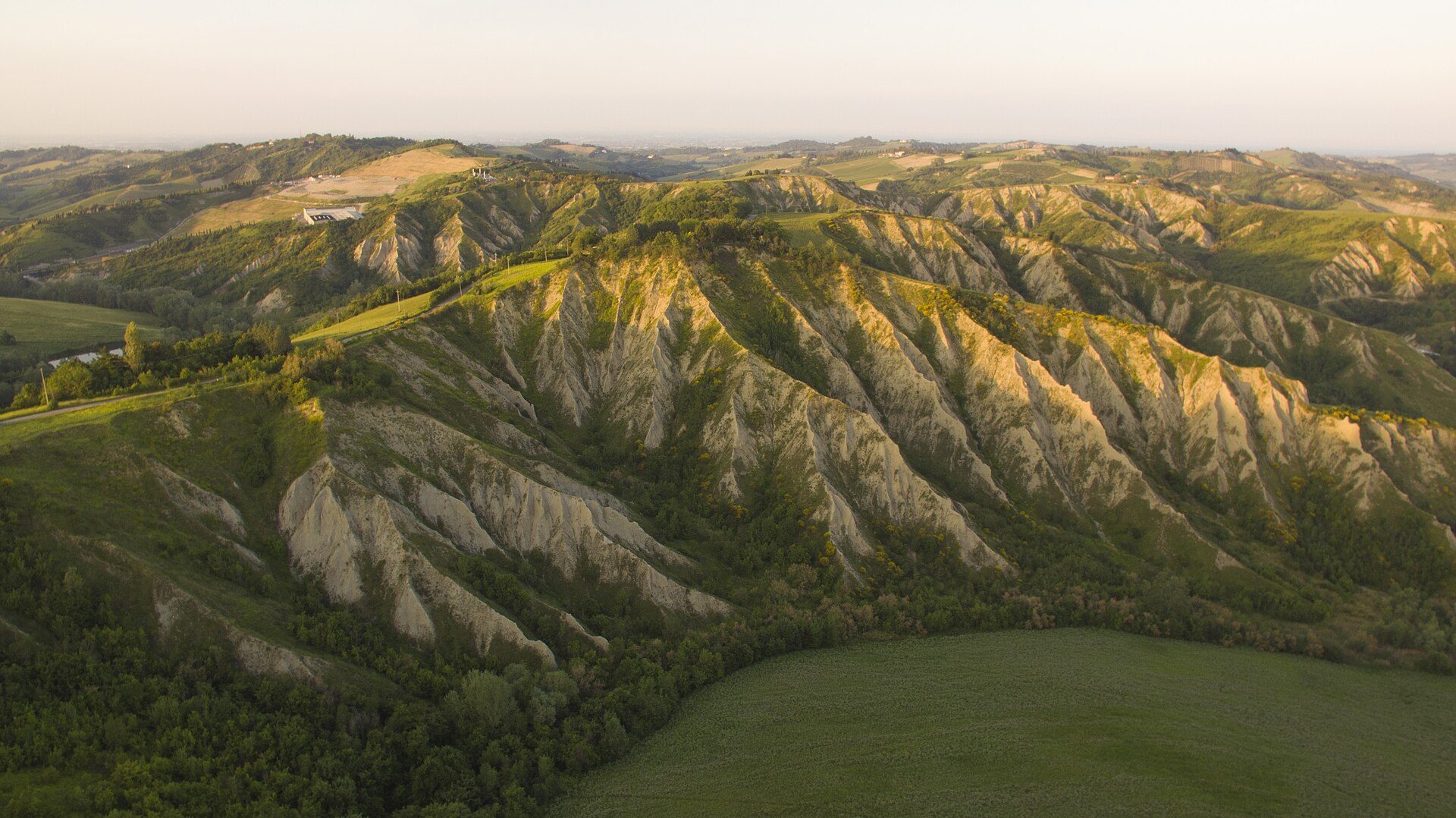
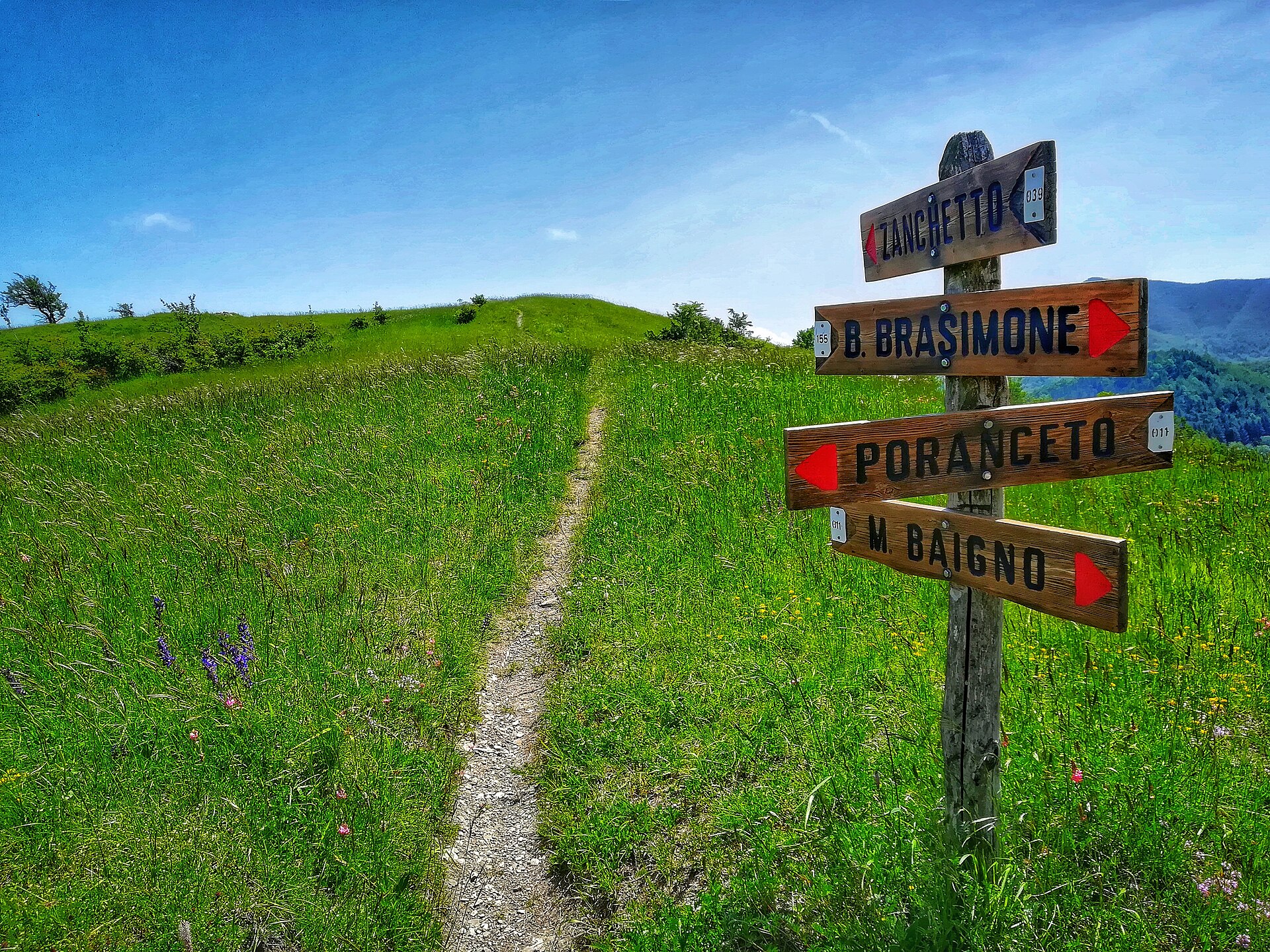
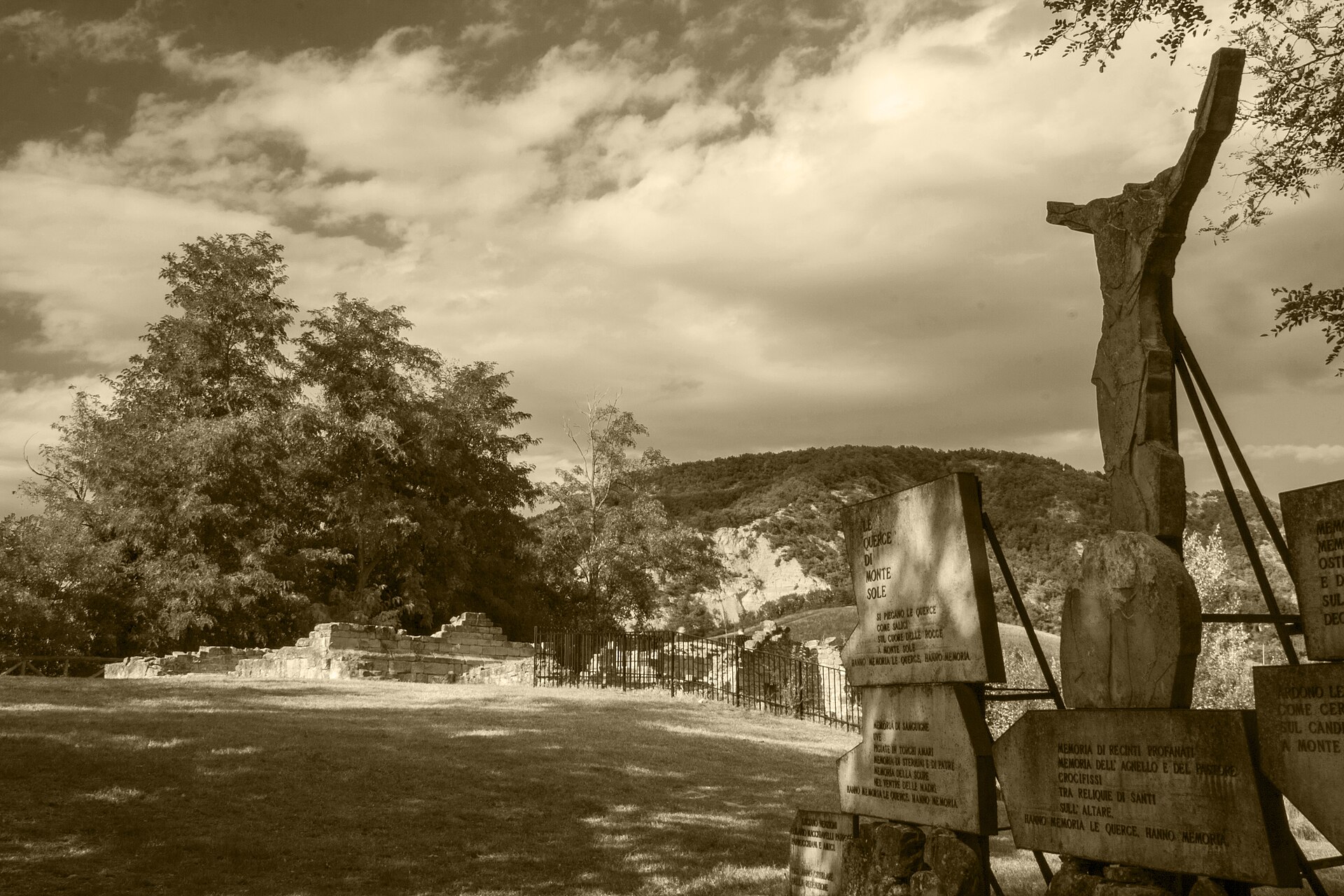
Gallery
© FollowTheMedia · CC BY-SA 3.0
© Sten · CC BY-SA 3.0
© Albarubescens · CC BY-SA 4.0
© Terragio67 · CC BY-SA 4.0
© Claudiobattani · CC BY-SA 4.0
© Terragio67 · CC BY-SA 4.0
Sources and licences
- Wikidata: Q1787671
- OpenStreetMap: relation 1691471
- Official website: http://www.parcoforestecasentinesi.it/
- Wikipedia: en.wikipedia.org/wiki/Foreste_Casentinesi,_Monte_Falterona,_Campigna_National_Park
- WDPA: 64511
References
- cds.climate.copernicus.eu: climate · CC-BY-4.0
- registry.opendata.aws: elevation of the reference point, detailed relief · PD
- land.copernicus.eu: land cover, land cover change, sea share · COPERNICUS
- doi.org: population around the site · CC-BY-4.0
- wikidata.org: official area, establishment date, protected heritage, nearby cities and airport, access and peaks, lake depths, places to see, official website · CC0-1.0
- eea.europa.eu: bathing water quality, ecological status of waters · CC-BY-4.0
- en.eurovelo.com: EuroVelo cycle routes · ODbL-1.0
- cycling.waymarkedtrails.org: cycle routes · ODbL-1.0
- opentopodata.org: elevations · PD
- forest-fire.emergency.copernicus.eu: wildfires · COPERNICUS
- globalforestwatch.org: tree cover loss · CC-BY-4.0
- gbif.org: seasonality of sightings, invasive alien species, observed species · CC-BY-4.0
- europe-geology.eu: geology · CC-BY-4.0
- hydrosheds.org: lakes · CC-BY-4.0
- natura2000.eea.europa.eu: Natura 2000 habitats and species · CC-BY-4.0
- openstreetmap.org: official name, access and peaks, places to see, trail difficulty · ODbL-1.0
- earthobservatory.nasa.gov: night light · PD
- hiking.waymarkedtrails.org: route difficulty · ODbL-1.0
- nsidc.org: snow cover · PD
- wikidata.org: Wikipedia article · CC-BY-SA-4.0
Data © OpenStreetMap contributors (ODbL), Wikidata (CC0) and the sources cited.