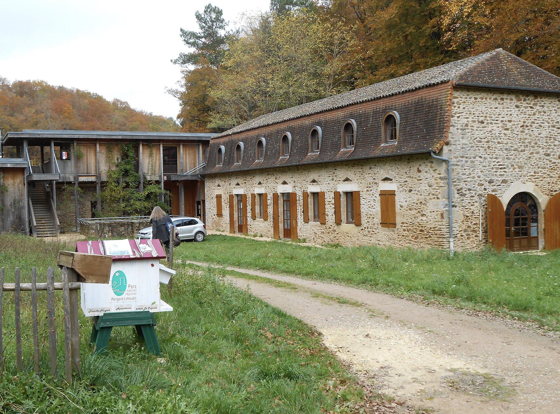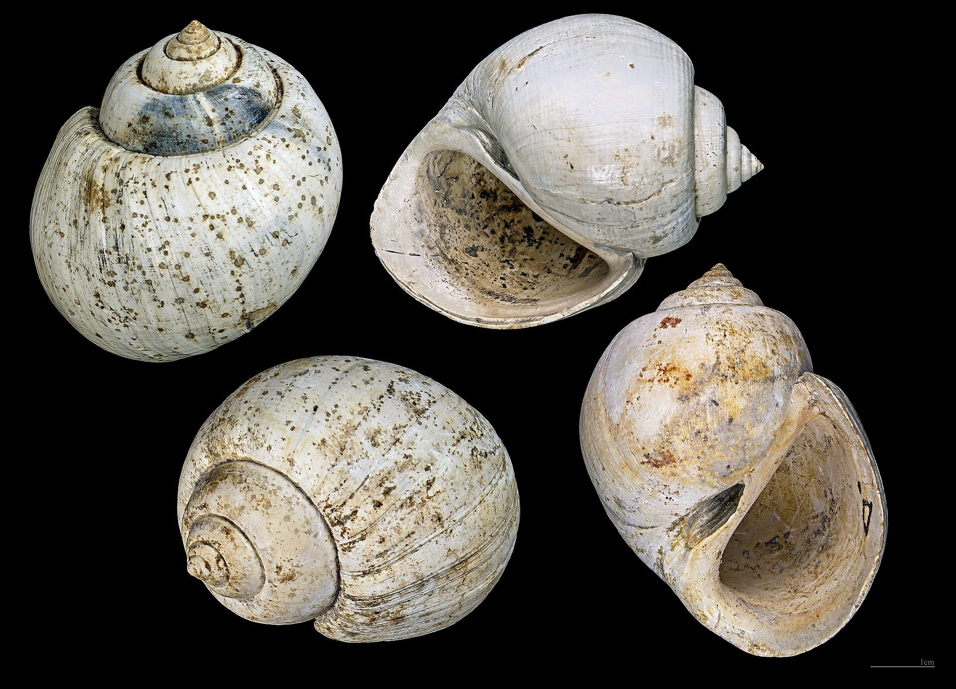
France · Terrestrial
Réserve naturelle nationale géologique de Saucats et la Brède
Nature reserve of 76 hectares in France, established in 1982.
Overview
Nature reserve of 76 hectares in France, established in 1982.
Réserve naturelle nationale géologique de Saucats et la Brède is a nature reserve in France (Europe). It is a predominantly terrestrial area. Established on 1 September 1982, it covers about 76 hectares.
Protections and designations
Natura 2000 · habitats (SAC)
Protected as a nature reserve. International labels and designations: Natura 2000 network (1 site: “Réseau hydrographique du Gat Mort et du Saucats”). Key dates: established in 1982 and first Natura 2000 site under the Habitats Directive in 2004.
In our collections
Timeline
-
1982
Established
-
2004
First Natura 2000 site under the Habitats Directive
Sources: Wikidata (CC0) for establishment and international labels; EEA Natura 2000 database (CC-BY 4.0) for site designation dates.
Frequently asked questions
Where is Réserve naturelle nationale géologique de Saucats et la Brède?
In France (Europe). Representative point: 44.6663° N, 0.5880° W.
How large is Réserve naturelle nationale géologique de Saucats et la Brède?
About 76 hectares. It is the 97th largest of the 121 nature reserves in France covered by Parkavela.
When was Réserve naturelle nationale géologique de Saucats et la Brède established?
On 1 September 1982.
What habitats and landscapes does Réserve naturelle nationale géologique de Saucats et la Brède include?
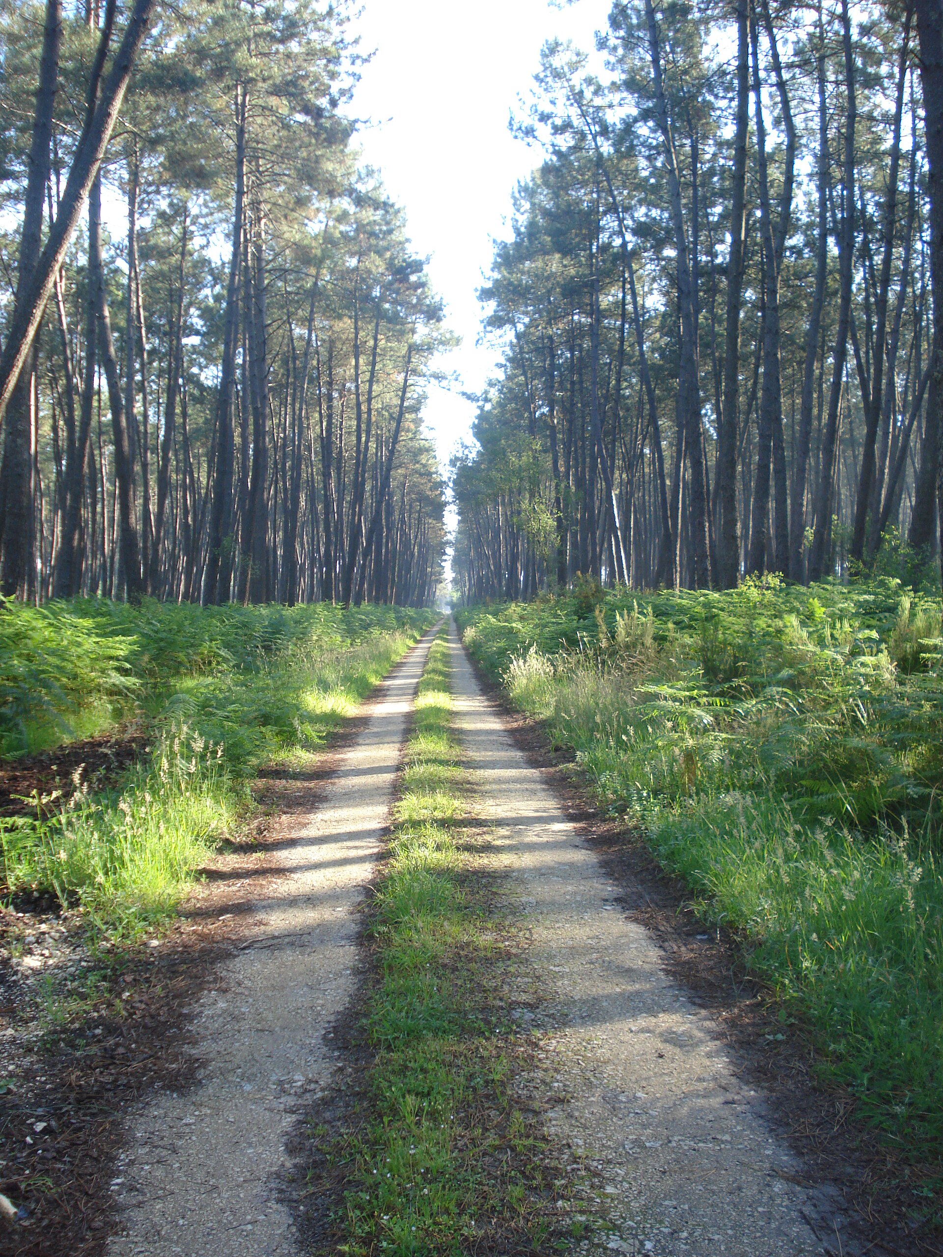
A terrestrial area, with forests.
What rocks lie beneath Réserve naturelle nationale géologique de Saucats et la Brède?
According to the BRGM's simplified lithological map, the bedrock consists mainly of sands (100% of sampled points). These are mostly sedimentary rocks.
Which international labels apply to Réserve naturelle nationale géologique de Saucats et la Brède?
Natura 2000 network (1 site: “Réseau hydrographique du Gat Mort et du Saucats”).
When is the best time to visit Réserve naturelle nationale géologique de Saucats et la Brède?
Best time to visit: from March to November, with average temperatures of 10 to 22 °C and moderate rainfall.
What is the nearest large city to Réserve naturelle nationale géologique de Saucats et la Brède?
Nearest towns of over 50,000 people, as the crow flies: Bordeaux Métropole (17 km). Nearest airport: Bordeaux–Mérignac (BOD), about 19 km away.
How can I reach Réserve naturelle nationale géologique de Saucats et la Brède by train?
The nearest railway station is Saint-Médard-d'Eyrans, about 6 km from the site boundary.
Where can I get visitor information on site?
Point I La Brède.
Which species can be seen in Réserve naturelle nationale géologique de Saucats et la Brède?
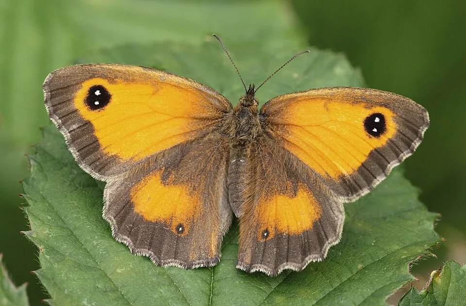
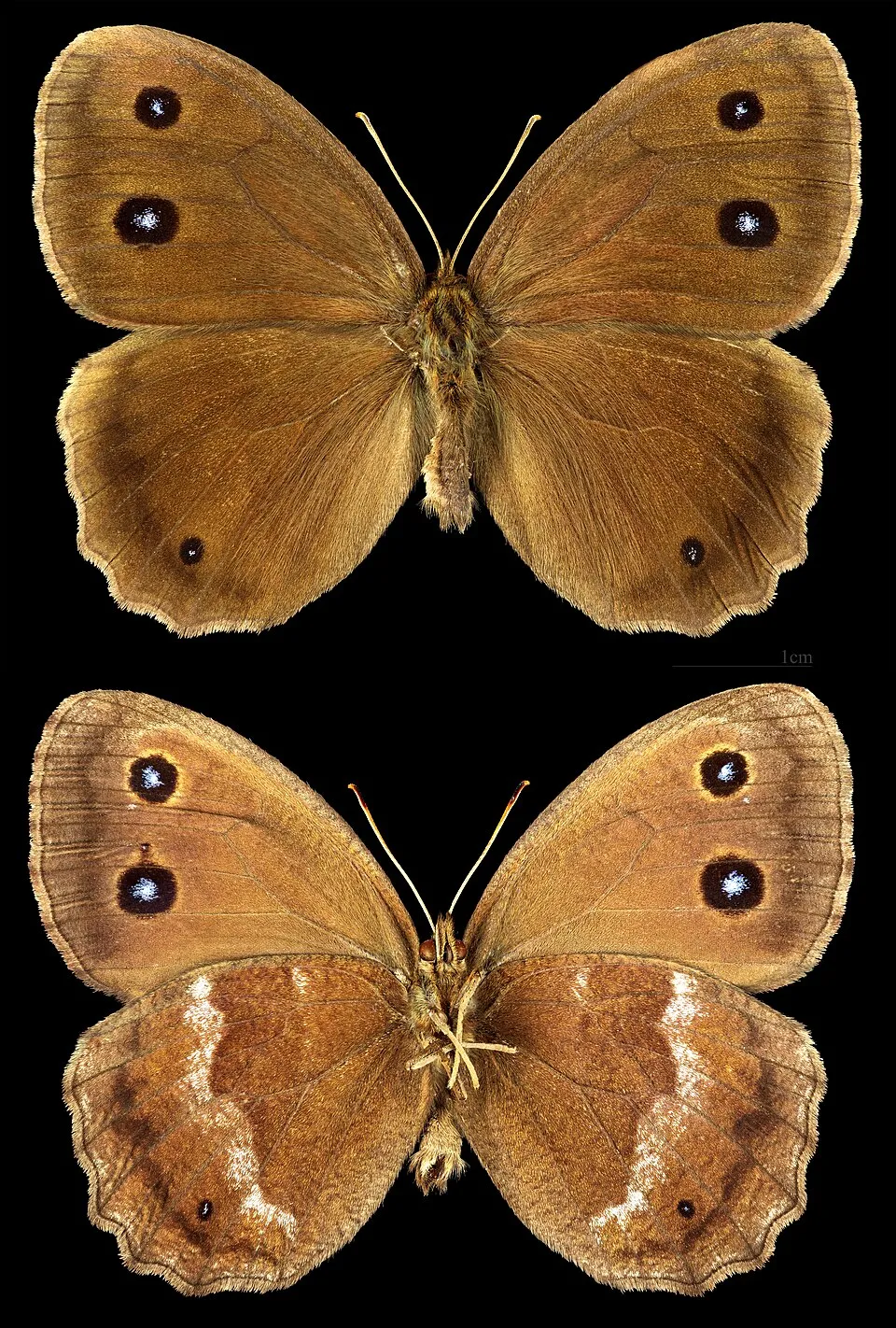
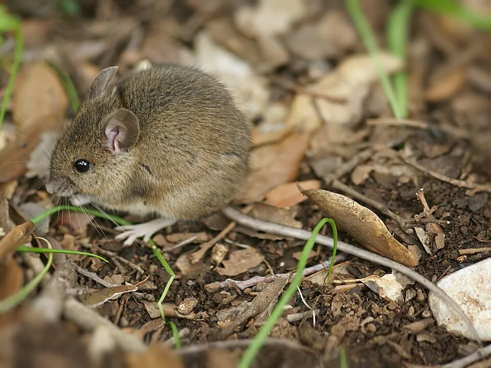
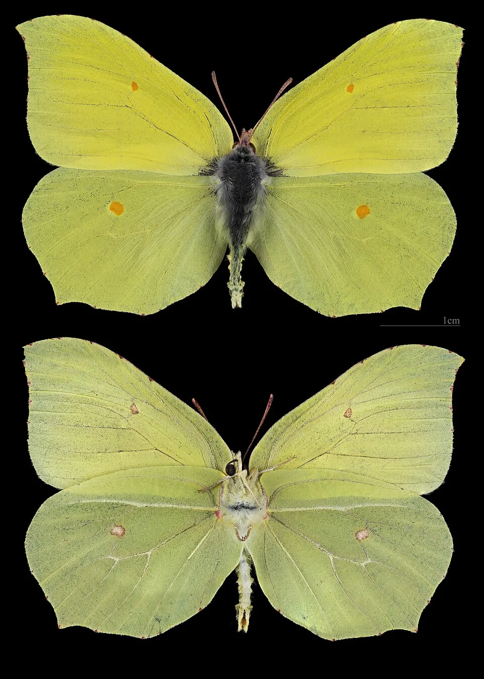
Among the species most often recorded on GBIF are Elkalyce argiades, Pyronia tithonus (Gatekeeper), Minois dryas (Dryad) and Apodemus sylvaticus (Wood mouse).
What is the official website of Réserve naturelle nationale géologique de Saucats et la Brède?
© OpenStreetMap
Download the boundary: GeoJSON · GPX Boundary © OpenStreetMap contributors (ODbL).
Geography
The representative point of the site lies at around 59 m above sea level. Over the 1996–2025 period, the mean annual temperature is about 14.0 °C and total precipitation reaches roughly 804 mm per year. The warmest month is usually August, the coolest January, and the wettest November. According to the BRGM's simplified lithological map, the bedrock consists mainly of sands (100% of sampled points). These are mostly sedimentary rocks.
Area
- Area
- 76 ha
- Elevation
- 59 m
- Coordinates
- 44.6663, -0.588
Bedrock
- Sands 100 %
Sedimentary rocks 100 %
Source: BRGM, simplified lithological map at 1:1,000,000 (Licence Ouverte), 4 points sampled within the boundary.
Climate
● Mean temperature (°C) · ▮ Precipitation (mm)
Source: Copernicus ERA5-Land (C3S, doi:10.24381/cds.68d2bb30), monthly averages 1996–2025 interpolated to the representative point, temperatures adjusted for elevation.
Contains modified Copernicus Climate Change Service information 2026. Neither the European Commission nor ECMWF is responsible for any use that may be made of the Copernicus information or data it contains.
Natural habitats
According to CORINE Land Cover (2018), the site is mainly made up of forests (82%) and heath and scrub (14%). Woodland mixes broadleaved and coniferous trees. The land is almost flat (mean slope under 2°). The Natura 2000 site overlapping the area lists 14 habitats of European interest (4 priority), the most extensive being alluvial forests with Alnus glutinosa and Fraxinus excelsior (Alno-Padion, Alnion incanae, Salicion albae), old acidophilous oak woods with Quercus robur on sandy plains and lowland hay meadows (Alopecurus pratensis, Sanguisorba officinalis).
Biodiversity
Based on occurrences aggregated by GBIF, several species are regularly recorded within the site. Among the most frequent are Elkalyce argiades, Pyronia tithonus (Gatekeeper), Minois dryas (Dryad) and Apodemus sylvaticus (Wood mouse). The full list of documented taxa is shown below. The overlapping Natura 2000 site lists 20 species of European interest: 7 mammals, 1 reptile, 11 invertebrates and 1 plant.
Habitats of European interest
From the official form of the Natura 2000 site overlapping the area (areas reported for the whole site).
- Alluvial forests with Alnus glutinosa and Fraxinus excelsior (Alno-Padion, Alnion incanae, Salicion albae) priority 165 ha
- Old acidophilous oak woods with Quercus robur on sandy plains 141 ha
- Lowland hay meadows (Alopecurus pratensis, Sanguisorba officinalis) 60 ha
- Galicio-Portuguese oak woods with Quercus robur and Quercus pyrenaica 50 ha
- European dry heaths 41 ha
- Water courses of plain to montane levels with the Ranunculion fluitantis and Callitricho-Batrachion vegetation 33 ha
- Temperate Atlantic wet heaths with Erica ciliaris and Erica tetralix priority 29 ha
- Hydrophilous tall herb fringe communities of plains and of the montane to alpine levels 14 ha
and 6 more
Species of European interest
Mammals · 7
Barbastelle (Barbastella barbastellus), Eurasian otter (Lutra lutra), Common bent-wing bat (Miniopterus schreibersii), European Mink (Mustela lutreola), Greater mouse-eared bat (Myotis myotis), Greater Horseshoe Bat (Rhinolophus ferrumequinum), Lesser horseshoe bat (Rhinolophus hipposideros)
Reptiles · 1
European Pond Turtle (Emys orbicularis)
Invertebrates · 11
Greater Capricorn Beetle (Cerambyx cerdo), Southern damselfly (Coenagrion mercuriale), False ringlet (Coenonympha oedippus), Marsh fritillary (Euphydryas aurinia), Jersey Tiger (Euplagia quadripunctaria), Dark whiteface (Leucorrhinia albifrons), Yellow-spotted Whiteface (Leucorrhinia pectoralis), Stag beetle (Lucanus cervus), Large copper (Lycaena dispar), Large Blue (Maculinea arion), Hermit beetle (Osmoderma eremita)
Plants · 1
Angelica heterocarpa
Other · 5
European bullhead (Cottus gobio), Common Bullhead (Cottus perifretum), European river lamprey (Lampetra fluviatilis), European brook lamprey (Lampetra planeri), Sea lamprey (Petromyzon marinus)
Source: Natura 2000 standard data forms (EEA, CC-BY 4.0). Not exhaustive: sensitive species are not published.
Species to look out for
Observed species
Occurrences documented via GBIF; they are neither an exhaustive inventory nor proof of current presence.
- Elkalyce argiades · 38
- Gatekeeper · Pyronia tithonus · 32
- Dryad · Minois dryas · 24
- Wood mouse · Apodemus sylvaticus · 22
- Common brimstone · Gonepteryx rhamni · 21
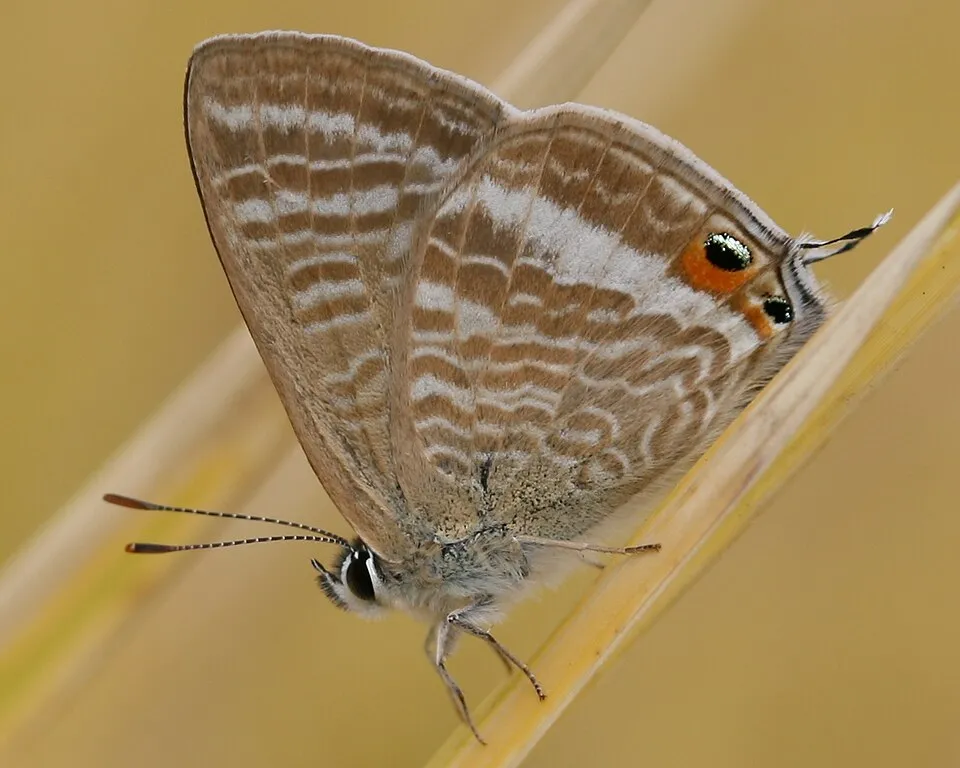
- Long-tailed blue · Lampides boeticus · 19
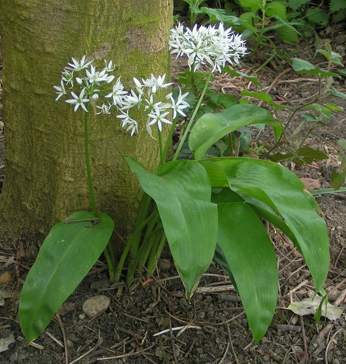
- Ramsons · Allium ursinum · 18
- Butcher's-broom · Ruscus aculeatus · 15
- Hazel · Corylus avellana · 15
- Herb-robert · Geranium robertianum · 15
- Pedunculate Oak · Quercus robur · 14
- False ringlet · Coenonympha oedippus · 13
+18 more species
- Hart's tonguefern · Asplenium scolopendrium · 13
- Common Ivy · Hedera helix · 13
- Wood avens · Geum urbanum · 12
- Spindle · Euonymus europaeus · 11
- Purple Toothwort · Lathraea clandestina · 11
- Common Nettle · Urtica dioica · 11
- Italian lords-and-ladies · Arum italicum · 10
- Black locust · Robinia pseudoacacia · 10
- Hawthorn · Crataegus monogyna · 10
- European ash · Fraxinus excelsior · 9
- Bracken · Pteridium aquilinum · 9
- Garlic Mustard · Alliaria petiolata · 9
- Holly · Ilex aquifolium · 9
- Lesser Celandine · Ficaria verna · 9
- Black Bryony · Dioscorea communis · 8
- Common Alder · Alnus glutinosa · 8
- Elder · Sambucus nigra · 8
- Dogwood · Cornus sanguinea · 8
Records: GBIF.org (CC-BY). Names: Wikidata (CC0), GBIF. Photos: Wikimedia Commons.
Conservation challenges
The primary purpose of the site is to preserve its natural habitats and the biodiversity they support. The species recorded (Biodiversity tab) reflect its ecological value. The designations it holds frame its management and the control of land use.
At night, 28% of the area gives off artificial light detectable from space (NASA VIIRS Black Marble composite, 2016). According to the Natura 2000 forms, of 9 assessed habitats of European interest, 1 is in excellent condition and 3 in average or reduced condition. Since 2000, 5 invasive alien species have been recorded within the site (GBIF observations), 2 of them listed as of Union concern under EU Regulation 1143/2014. Among them: Impatiens glandulifera (Himalayan Balsam), Ludwigia peploides (Floating primrose-willow) and Robinia pseudoacacia (Black locust).
Pressure indicators
Tree cover lost
9 ha
2001–2023 · 12% of the area
20012023
Fires since 2016
0
No large fire mapped (fires over about 30 ha)
Light at night
28%
of the area gives off artificial light visible from space
DarkLit
Built-up land
< 1%
buildings, business areas, roads, quarries
Invasive alien species
5
incl. 2 of EU concern · since 2000
 Himalayan Balsam
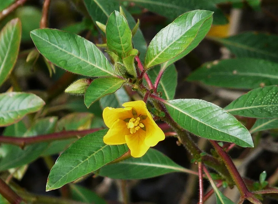 Floating primrose-willowEU
 Black locust
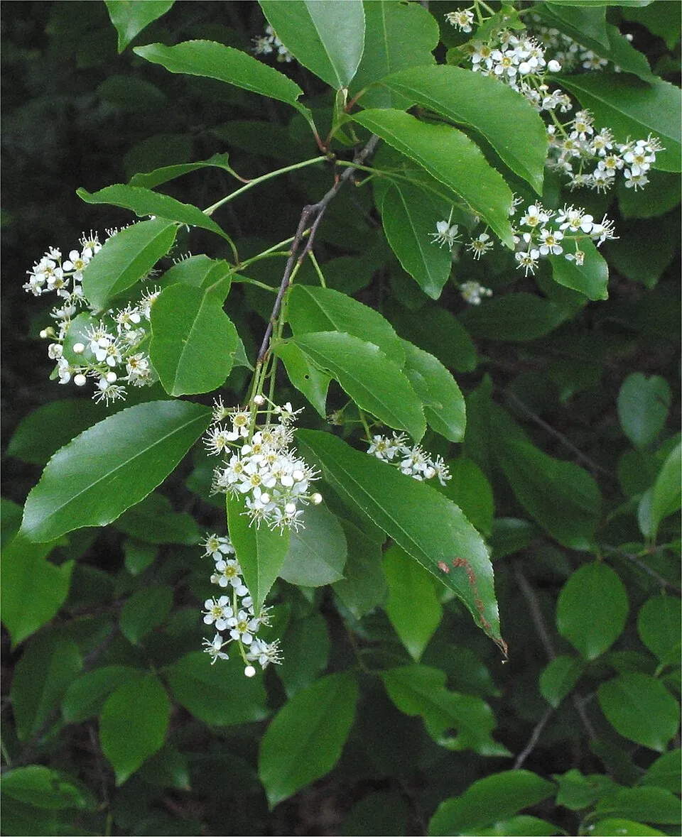 Black cherry
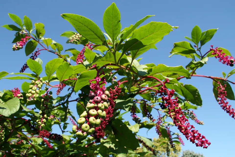 American pokeweed
Photos: Himalayan Balsam © Guptaele · CC BY-SA 4.0; Floating primrose-willow © Père Igor · CC BY-SA 3.0; Black locust © This Photo was taken by Wolfgang Moroder. Feel free to use my photos, but please mention me as the author and send me a message. This image is not in the public domain. Please respect the copyright protection. It may only be used according… · CC BY-SA 3.0; Black cherry © Rasbak · CC BY-SA 3.0; American pokeweed © Huw Williams (Huwmanbeing) · Public domain
Sources: Global Forest Change (Hansen et al., University of Maryland, via Global Forest Watch, CC-BY 4.0); EFFIS, European Commission / Copernicus; NASA Black Marble 2016 (public domain); CORINE Land Cover 2018 (Copernicus) or MODIS.
Invasive alien species: Global Register of Introduced and Invasive Species (ISSG, CC BY 4.0); Union list, Regulation (EU) 1143/2014 (INBO, CC0); GBIF.org records (CC0 / CC BY 4.0), at least 2 per species.
Practical information
Cities and airport
- Bordeaux Métropole
17 km as the crow flies - Airport: Bordeaux–Mérignac (BOD)
19 km as the crow flies
Visitor information
- Point I La Brède
2 km from the site boundary
Data © OpenStreetMap contributors (ODbL) · Wikidata (CC0)
Access and visiting
The nearest railway station is Saint-Médard-d'Eyrans, about 6 km from the site boundary. Nearest towns of over 50,000 people, as the crow flies: Bordeaux Métropole (17 km). Nearest airport: Bordeaux–Mérignac (BOD), about 19 km away. About 690,000 people live within 20 km of the site boundary, 79,000 of them within 10 km (GHSL estimate, 2020). This population has grown by about 16% since 2000. Visitor information on site: Point I La Brède. To plan a visit (access, opening periods, visitor rules), it is best to consult the official information from the managing body and the official website listed in this page's sources.
Source: OpenStreetMap (ODbL), Wikidata (CC0), October 2026.
When to visit
Best time to visit: from March to November, with average temperatures of 10 to 22 °C and moderate rainfall. Day length ranges from about 8 h 49 min in December to 15 h 33 min in June. Wildlife records published on GBIF peak for birds (from December to February), plants (April and May), butterflies and moths (May) and mammals (May). These peaks also reflect when observers are most active.
Source: Copernicus ERA5-Land (C3S), monthly averages 1996–2025 at the representative point, temperatures adjusted for elevation.
Contains modified Copernicus Climate Change Service information 2026. Neither the European Commission nor ECMWF is responsible for any use that may be made of the Copernicus information or data it contains.
Wildlife records calendar
JFMAMJJASOND
Birds
Plants
Butterflies & moths
Mammals
Monthly records published on GBIF (CC-BY), relative to the busiest month; also reflects observer activity.
Gallery
© Didier Descouens · CC BY-SA 4.0
© H. Zell · CC BY-SA 3.0
© Manuel CABALLER · CC BY 4.0
© Rngsaucats · CC BY-SA 4.0
© Rngsaucats · CC BY-SA 4.0
© H. Zell · CC BY-SA 3.0
Sources and licences
- Wikidata: Q3457231
- OpenStreetMap: relation 1046951
- Official website: http://www.rngeologique-saucatslabrede.reserves-naturelles.org/
- Wikipedia: en.wikipedia.org/wiki/Géologique_de_Saucats_et_La_Brède_National_Nature_Reserve
- WDPA: 39786
References
- cds.climate.copernicus.eu: climate · CC-BY-4.0
- registry.opendata.aws: elevation of the reference point, detailed relief · PD
- land.copernicus.eu: land cover, land cover change, sea share · COPERNICUS
- doi.org: population around the site · CC-BY-4.0
- wikidata.org: official area, establishment date, nearby cities and airport, access and peaks, lake depths, places to see, official website · CC0-1.0
- eea.europa.eu: bathing water quality, ecological status of waters · CC-BY-4.0
- en.eurovelo.com: EuroVelo cycle routes · ODbL-1.0
- cycling.waymarkedtrails.org: cycle routes · ODbL-1.0
- opentopodata.org: elevations · PD
- forest-fire.emergency.copernicus.eu: wildfires · COPERNICUS
- globalforestwatch.org: tree cover loss · CC-BY-4.0
- gbif.org: seasonality of sightings, invasive alien species, observed species · CC-BY-4.0
- infoterre.brgm.fr: geology · LO-2.0
- pop.culture.gouv.fr: protected heritage · LO-2.0
- hydrosheds.org: lakes · CC-BY-4.0
- natura2000.eea.europa.eu: Natura 2000 habitats and species · CC-BY-4.0
- openstreetmap.org: official name, access and peaks, places to see · ODbL-1.0
- earthobservatory.nasa.gov: night light · PD
- nsidc.org: snow cover · PD
- wikidata.org: Wikipedia article · CC-BY-SA-4.0
Data © OpenStreetMap contributors (ODbL), Wikidata (CC0) and the sources cited.