Austria · Terrestrial
Geschriebenstein-Írottkő Nature Park
Nature park of 8,130 hectares in Austria.
Overview
Nature park of 8,130 hectares in Austria.
Geschriebenstein-Írottkő Nature Park is located in Austria (Europe). It is a predominantly terrestrial area. It covers about 8,130 hectares.
Protections and designations
Natura 2000 · habitats (SAC)
- Bernstein - Lockenhaus - Rechnitz AT1108813
Protected as a nature park. International labels and designations: Natura 2000 network (1 site: “Bernstein - Lockenhaus - Rechnitz”).
In our collections
Frequently asked questions
Where is Geschriebenstein-Írottkő Nature Park?
In Austria (Europe). Representative point: 47.3544° N, 16.4336° E.
How large is Geschriebenstein-Írottkő Nature Park?
About 8,130 hectares (81 km²). It is the 10th largest of the 21 nature parks in Austria covered by Parkavela.
What habitats and landscapes does Geschriebenstein-Írottkő Nature Park include?
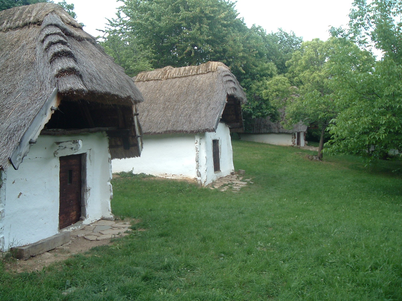
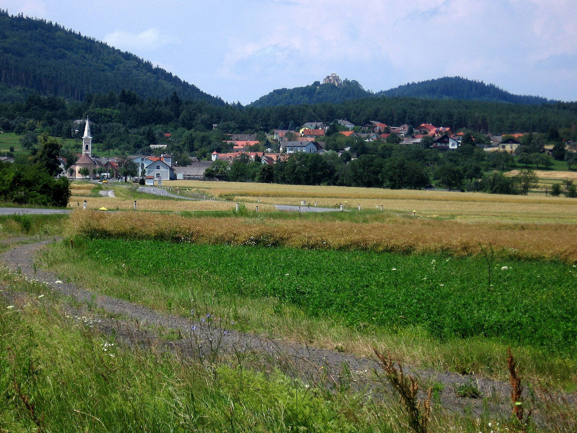
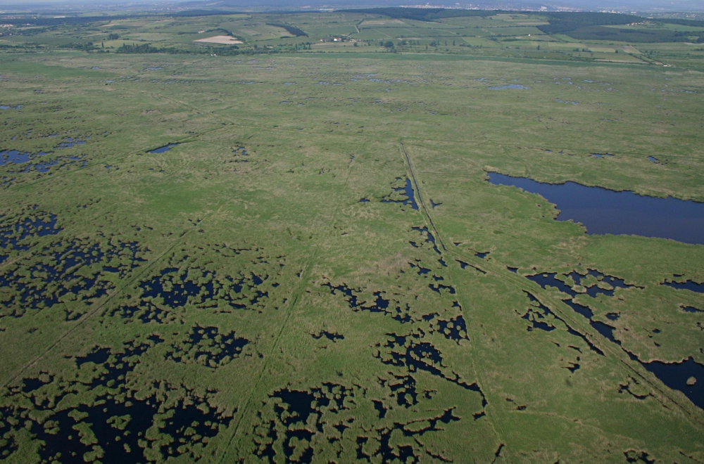
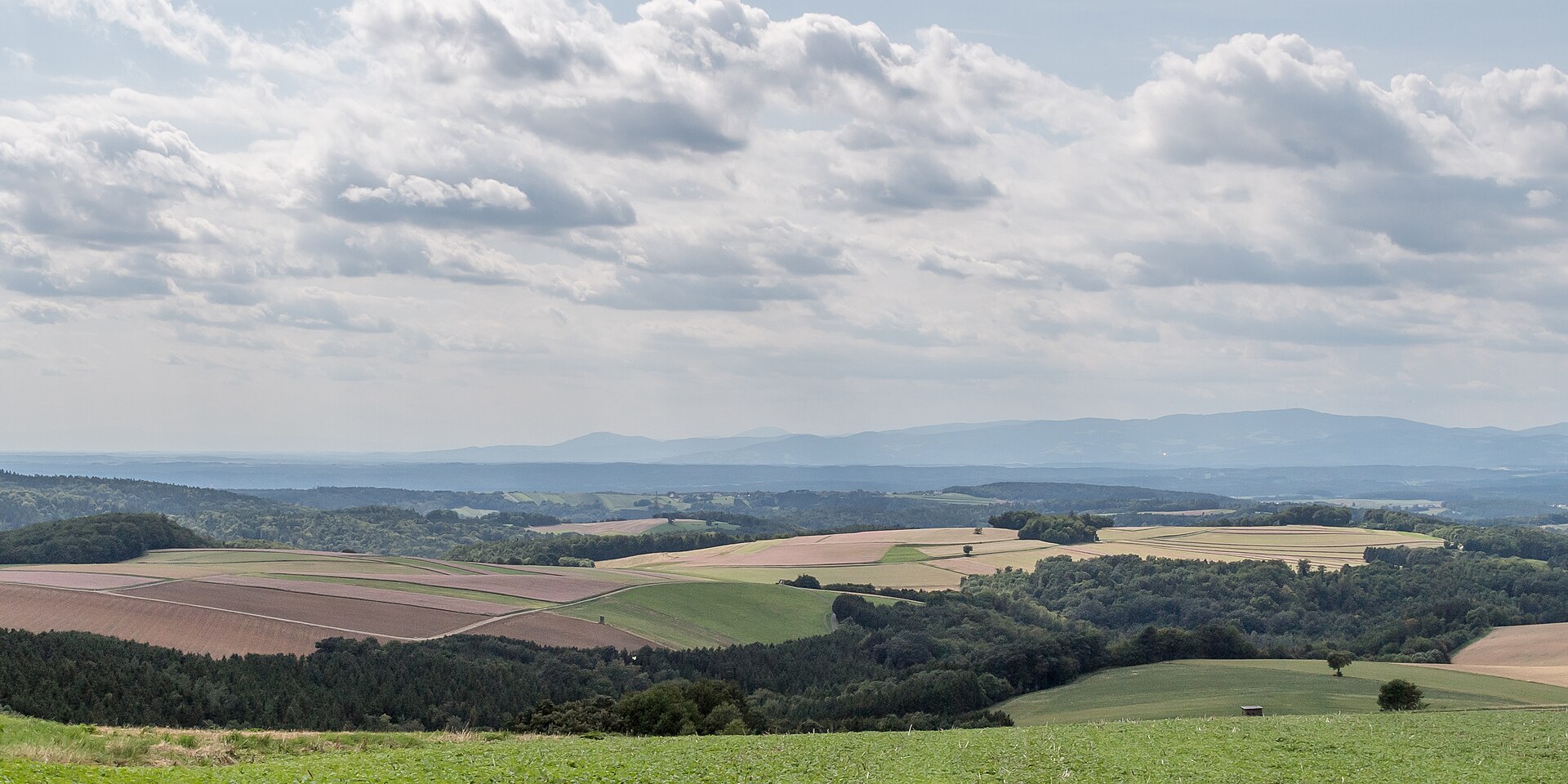
A terrestrial area, with forests and mountains.
What rocks lie beneath Geschriebenstein-Írottkő Nature Park?
According to the European 1:1 million geological map (EGDI), the bedrock consists mainly of marbles (63% of sampled points) and serpentinites (25%). These are mostly metamorphic rocks. The geological units date mainly from the Mesozoic (88% of sampled points).
What is the highest point of Geschriebenstein-Írottkő Nature Park?
Geschriebenstein / Írott-kő, at 884 m (OpenStreetMap).
What are the main summits of Geschriebenstein-Írottkő Nature Park?
Geschriebenstein / Írott-kő (884 m), Großer Hirschenstein (862 m), Kleiner Hirschenstein (836 m), Bremsberg (765 m) and Salzriegel (688 m) (OpenStreetMap).
Which international labels apply to Geschriebenstein-Írottkő Nature Park?
Natura 2000 network (1 site: “Bernstein - Lockenhaus - Rechnitz”).
What is there to see in Geschriebenstein-Írottkő Nature Park?
Badestausee Rechnitz (363 m) (Wikidata).
Are there historic monuments in Geschriebenstein-Írottkő Nature Park?
Yes. According to Wikidata, 8 monuments listed as protected monuments in Austria stand within the boundary. For example: “Friedhofskirche hll. Sebastian” in Rechnitz, “Lockenhaus Castle” in Lockenhaus and “Watch tower Írott-kő” in Bozsok.
Can you swim in Geschriebenstein-Írottkő Nature Park?
One monitored bathing site lies in or within 1 km of the site; official 2025 classification: 1 excellent (European Environment Agency). Swimming is only permitted at the sites and times authorised locally.
What is the nearest large city to Geschriebenstein-Írottkő Nature Park?
Nearest towns of over 50,000 people, as the crow flies: Szombathely (15 km) and Sopron (31 km). Nearest airport: Wien-Schwechat (VIE), about 77 km away.
How can I reach Geschriebenstein-Írottkő Nature Park by train?
The nearest railway station is Kőszeg, about 7 km from the site boundary.
Where can I get visitor information on site?
Naturpark Geschriebenstein, Naturparkschule and Naturpark-Informationsbüro.
Are there waymarked hiking trails in Geschriebenstein-Írottkő Nature Park?
Yes. Waymarked hiking routes listed in OpenStreetMap: 17, including Ostösterreichischer Grenzlandweg, K, OKT, Országos Kéktúra and Rockenbauer Pál Dél-dunántúli Kéktúra. The “Ostösterreichischer Grenzlandweg 07 - Burgenlandroute” route runs for about 15 km through the site, with some 550 m of ascent on its longest section.
Which species can be seen in Geschriebenstein-Írottkő Nature Park?
Among the species most often recorded on GBIF are Oreopteris limbosperma (Lemon-scented fern), Dryopteris filix-mas (Male fern), Juncus effusus (Soft rush) and Athyrium filix-femina (Lady-fern).
© OpenStreetMap
Download the boundary: GeoJSON · GPX Boundary © OpenStreetMap contributors (ODbL).
Geography
According to the European 1:1 million geological map (EGDI), the bedrock consists mainly of marbles (63% of sampled points) and serpentinites (25%). These are mostly metamorphic rocks. The geological units date mainly from the Mesozoic (88% of sampled points).
Area
- Area of the boundary
- 8,130 ha
- Median elevation
- 501 m
- Mean slope
- 12°
- Coordinates
- 47.3544, 16.4336
Terrain: Mapzen Terrain Tiles (SRTM, USGS; © offene Daten Österreichs – Digitales Geländemodell (DGM) Österreich, CC BY 3.0 AT)
Bedrock
- Marbles 63 %
- Serpentinites 25 %
- Clastic sedimentary rocks 6 %
- Mica schists 6 %
Metamorphic rocks 94 % · Sedimentary rocks 6 % · Main age: Mesozoic (88%)
Source: EGDI 1:1M geological map (EuroGeoSurveys and national geological surveys), CC BY 4.0 · 16 sampled points within the site.
Main summits
- Geschriebenstein / Írott-kő884 m
- Großer Hirschenstein862 m
- Kleiner Hirschenstein836 m
- Bremsberg765 m
- Salzriegel688 m
- Birkenriegel675 m
- Hinterleiten618 m
- Weidriegel605 m
- Hollerwiese602 m
- Hochbuchen599 m
Data © OpenStreetMap contributors (ODbL)
Snow cover measured by satellite
J
F
M
A
M
J
J
A
S
O
N
D
average share of the site under snow · snowiest parts · ≈ 20 days a year
Snow cover: MODIS/Terra MOD10CM v61 (Hall & Riggs, 2021, NASA NSIDC DAAC, doi:10.5067/MODIS/MOD10CM.061), imagery from NASA GIBS (ESDIS); 2015–2025 average, grid of about 5 km.
Natural habitats
According to CORINE Land Cover (2018), the site is mainly made up of forests (80%) and farmland (16%). Woodland mixes broadleaved and coniferous trees. Elevation ranges from about 310 m to 884 m (highest point: Geschriebenstein / Írott-kő). The Natura 2000 site overlapping the area lists 15 habitats of European interest (2 priority), the most extensive being Luzulo-Fagetum beech forests, Illyrian oak-hornbeam forests (Erythronio-Carpinion) and lowland hay meadows (Alopecurus pratensis, Sanguisorba officinalis).
Biodiversity
Based on occurrences aggregated by GBIF, several species are regularly recorded within the site. Among the most frequent are Oreopteris limbosperma (Lemon-scented fern), Dryopteris filix-mas (Male fern), Juncus effusus (Soft rush) and Athyrium filix-femina (Lady-fern). The full list of documented taxa is shown below. The overlapping Natura 2000 site lists 22 species of European interest: 8 mammals, 2 amphibians, 10 invertebrates and 2 plants.
Habitats of European interest
From the official form of the Natura 2000 site overlapping the area (areas reported for the whole site).
- Luzulo-Fagetum beech forests 2,745 ha
- Illyrian oak-hornbeam forests (Erythronio-Carpinion) 976 ha
- Lowland hay meadows (Alopecurus pratensis, Sanguisorba officinalis) 674 ha
- Alluvial forests with Alnus glutinosa and Fraxinus excelsior (Alno-Padion, Alnion incanae, Salicion albae) priority 448 ha
- Asperulo-Fagetum beech forests 443 ha
- Pannonian-Balkanic turkey oak-sessile oak forests 91 ha
- Semi-natural dry grasslands and scrubland facies on calcareous substrates (Festuco-Brometalia) (* important orchid sites) 57 ha
- Calaminarian grasslands of the Violetalia calaminariae 37 ha
and 7 more
Species of European interest
Mammals · 8
Barbastelle (Barbastella barbastellus), Eurasian otter (Lutra lutra), Bechstein's bat (Myotis bechsteinii), Lesser mouse-eared myotis (Myotis blythii), Geoffroy's bat (Myotis emarginatus), Greater mouse-eared bat (Myotis myotis), Greater Horseshoe Bat (Rhinolophus ferrumequinum), Lesser horseshoe bat (Rhinolophus hipposideros)
Invertebrates · 10
Greater Capricorn Beetle (Cerambyx cerdo), Balkan goldenring (Cordulegaster heros), Eastern Eggar (Eriogaster catax), Jersey Tiger (Euplagia quadripunctaria), Yellow-spotted Whiteface (Leucorrhinia pectoralis), Stag beetle (Lucanus cervus), Large copper (Lycaena dispar), Green snaketail (Ophiogomphus cecilia), Dusky Large Blue (Phengaris nausithous), Scarce Large Blue (Phengaris teleius)
Source: Natura 2000 standard data forms (EEA, CC-BY 4.0). Not exhaustive: sensitive species are not published.
Species to look out for


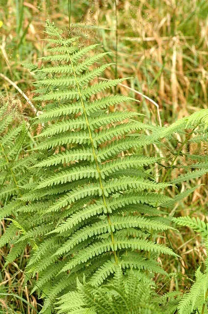
Plant
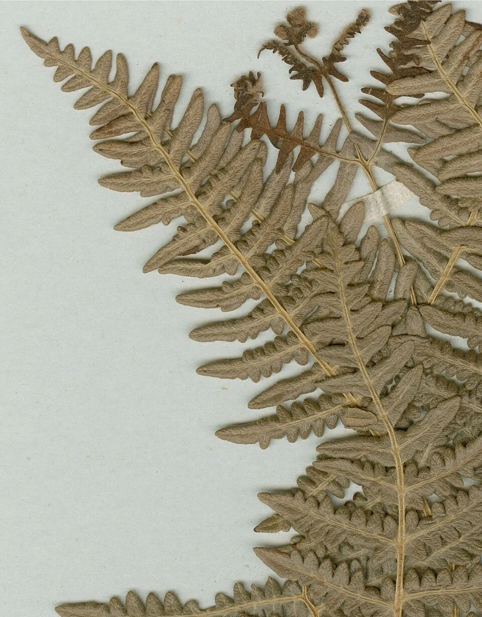
Bracken
Pteridium aquilinum50 records © Herbarium of the University of Coimbra (COI) · CC BY 4.0
Observed species
Occurrences documented via GBIF; they are neither an exhaustive inventory nor proof of current presence.
- Lemon-scented fern · Oreopteris limbosperma · 142
- Male fern · Dryopteris filix-mas · 104
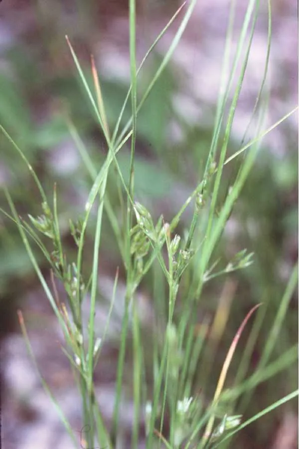
- Soft rush · Juncus effusus · 63
- Lady-fern · Athyrium filix-femina · 60
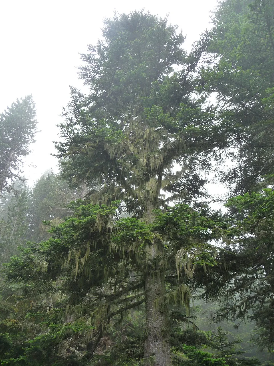
- Silver Fir · Abies alba · 54
- Willow Gentian · Gentiana asclepiadea · 52
- Bracken · Pteridium aquilinum · 50
- Norway spruce · Picea abies · 46
- Foxglove · Digitalis purpurea · 43
- European Cyclamen · Cyclamen purpurascens · 39
- Bay Bolete · Imleria badia · 37
- Hemp-agrimony · Eupatorium cannabinum · 36
Records: GBIF.org (CC-BY). Names: Wikidata (CC0), GBIF. Photos: Wikimedia Commons.
Conservation challenges
The primary purpose of the site is to preserve its natural habitats and the biodiversity they support. The species recorded (Biodiversity tab) reflect its ecological value. The designations it holds frame its management and the control of land use.
According to Global Forest Change data (University of Maryland, Global Forest Watch), about 616 ha of tree cover were lost within the boundary between 2001 and 2023 (8% of its area), peaking in 2005 and 2018. These losses include logging, storms and fires, and do not account for regrowth. According to CORINE Land Cover, land cover here remained almost unchanged between 1990 and 2018 (less than 0.5% of the area affected). At night, 1% of the area gives off artificial light detectable from space (NASA VIIRS Black Marble composite, 2016). Built-up and developed land (buildings, business areas, roads, quarries) covers 3% of the area, and farmland 16% (CORINE Land Cover). According to the Natura 2000 forms, of 11 assessed habitats of European interest, 1 is in average or reduced condition and the rest in good condition. According to the Water Framework Directive assessment (2022 river basin management plans, data 2016–2021), 57% of the 31 km of rivers assessed within the site are in good or high ecological status. Since 2000, 12 invasive alien species have been recorded within the site (GBIF observations), 3 of them listed as of Union concern under EU Regulation 1143/2014. Among them: Impatiens glandulifera (Himalayan Balsam), Ailanthus altissima (Tree-of-heaven) and Reynoutria bohemica (Bohemian knotweed).
Pressure indicators
Tree cover lost
616 ha
2001–2023
20012023
Fires since 2016
0
No large fire mapped (fires over about 30 ha)
Light at night
1%
of the area gives off artificial light visible from space
DarkLit
Built-up land
3%
buildings, business areas, roads, quarries · farmland 16%
Land cover change
< 0.5%
of the area changed, 1990–2018 · CORINE
Rivers and lakes
57%
of the 31 km of assessed rivers in good or high ecological status · WFD 2022
assessments 2016–2021
Invasive alien species
12
incl. 3 of EU concern · since 2000
 Himalayan BalsamEU
 Tree-of-heavenEU
Bohemian knotweedEU
 Slender rush
 American pokeweed
 Small balsam
 Canada Horseweed
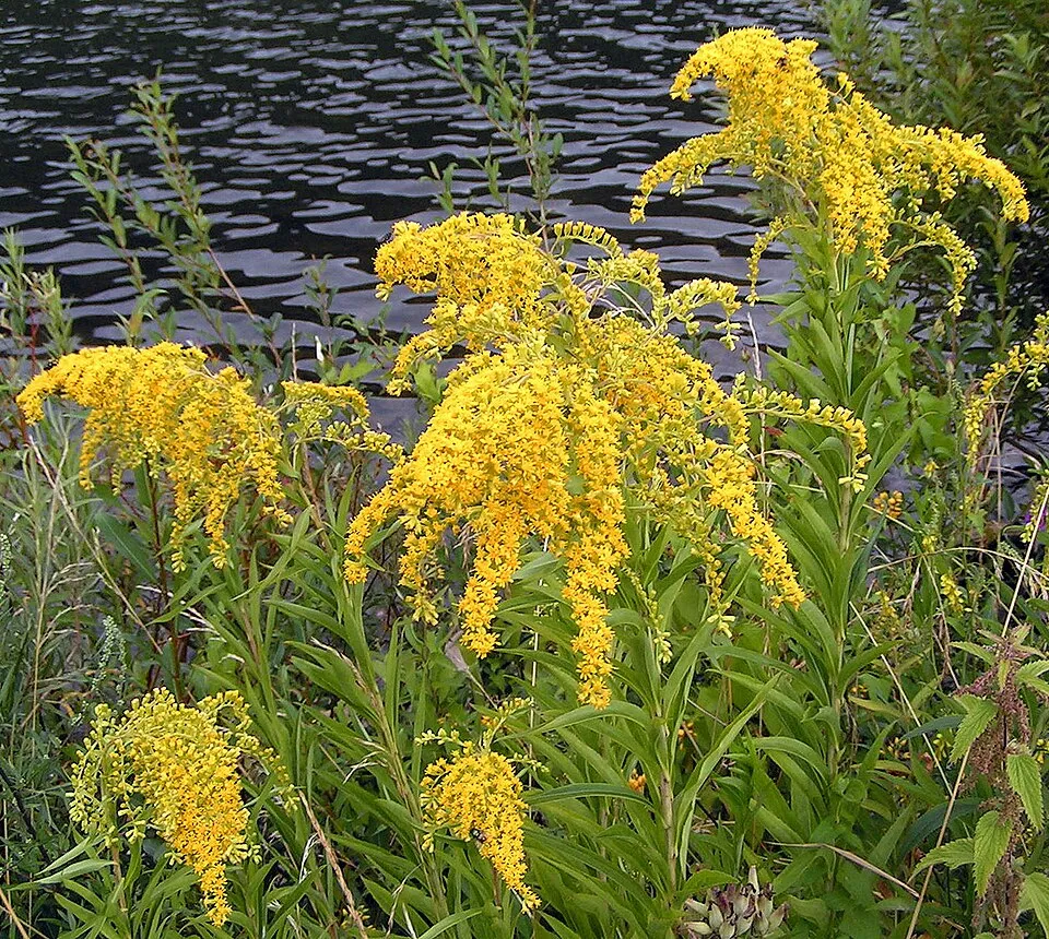 Giant goldenrod
Photos: Himalayan Balsam © Guptaele · CC BY-SA 4.0; Tree-of-heaven © Darkone · CC BY-SA 2.5; Slender rush © EVula · Public domain; American pokeweed © Huw Williams (Huwmanbeing) · Public domain; Small balsam © André Karwath aka Aka · CC BY-SA 2.5; Canada Horseweed © Andrey Zharkikh from Salt Lake City, USA · CC BY 2.0; Giant goldenrod © Pethan · CC BY-SA 3.0
Sources: Global Forest Change (Hansen et al., University of Maryland, via Global Forest Watch, CC-BY 4.0); EFFIS, European Commission / Copernicus; NASA Black Marble 2016 (public domain); CORINE Land Cover 2018 (Copernicus) or MODIS.
CORINE Land Cover Change 1990–2018: generated using European Union's Copernicus Land Monitoring Service information (EEA), aggregated by Parkavela; DOI 10.2909/f30f1000-7cf8-43bb-872c-5eb093911b24.
Ecological status of water bodies: European Environment Agency, WISE – Water Framework Directive, 3rd river basin management plans (2022), CC BY 4.0. Official national classification, not comparable between countries.
Invasive alien species: Global Register of Introduced and Invasive Species (ISSG, CC BY 4.0); Union list, Regulation (EU) 1143/2014 (INBO, CC0); GBIF.org records (CC0 / CC BY 4.0), at least 2 per species.
Practical information
Cities and airport
- Szombathely
15 km as the crow flies - Sopron
31 km as the crow flies - Airport: Wien-Schwechat (VIE)
77 km as the crow flies
Visitor information
- Naturpark Geschriebenstein
within the site - Naturparkschule
within the site - Naturpark-Informationsbüro
< 1 km from the site boundary
Hiking
17 waymarked routes listed, including:
Ostösterreichischer GrenzlandwegK, OKTOrszágos KéktúraRockenbauer Pál Dél-dunántúli KéktúraZ Vasfüggöny túraút (RajkaAlpannonia
By bike
R1 Jubiläumsradweg R1 · 9 kmÍrottkő Geschriebenstein · 3 kmPAR Paradiesroute · 3 km
+ 7 local loops
Signed cycle routes: this does not mean that cycling is allowed on footpaths.
Data © OpenStreetMap contributors (ODbL) · Wikidata (CC0)
Routes © OpenStreetMap contributors (ODbL), via Waymarked Trails
Waymarked hiking routes
07 Ostösterreichischer Grenzlandweg 07 - Burgenlandroute
15.2 km within the site ↗ 549 m↘ 352 m 328–869 m
Tracks © OpenStreetMap contributors (ODbL), clipped to the boundary; elevation gain and profiles computed on the longest section from Mapzen Terrain Tiles (≈ 30 m), indicative only.
Bathing
1 monitored bathing site in or within 1 km of the site · 2025 classification
Excellent · 1
- Stausee Rechnitz · lake · Excellent
Source: European Environment Agency, official bathing water classification (Directive 2006/7/EC, CC-BY 4.0). Swimming is only permitted at the sites and times authorised locally.
Access and visiting
The nearest railway station is Kőszeg, about 7 km from the site boundary. Nearest towns of over 50,000 people, as the crow flies: Szombathely (15 km) and Sopron (31 km). Nearest airport: Wien-Schwechat (VIE), about 77 km away. About 220,000 people live within 20 km of the site boundary, 55,000 of them within 10 km; some 2,400 people are estimated to live inside (GHSL estimate, 2020). Visitor information on site: Naturpark Geschriebenstein, Naturparkschule and Naturpark-Informationsbüro. Waymarked hiking routes listed in OpenStreetMap: 17, including Ostösterreichischer Grenzlandweg, K, OKT, Országos Kéktúra and Rockenbauer Pál Dél-dunántúli Kéktúra. The site is crossed by 3 signed cycle routes, including “R1 Jubiläumsradweg R1” and “Írottkő Geschriebenstein” (OpenStreetMap). To see: Badestausee Rechnitz (363 m). To plan a visit (access, opening periods, visitor rules), it is best to consult the official information from the managing body and the official website listed in this page's sources.
Source: OpenStreetMap (ODbL), Wikidata (CC0), October 2026.
Built heritage
According to Wikidata, 8 monuments listed as protected monuments in Austria stand within the boundary. Among them are 4 religious buildings, 2 castles and fortifications and 2 bridges, lighthouses, mills and working buildings. Examples include “Friedhofskirche hll. Sebastian” in Rechnitz, “Lockenhaus Castle” in Lockenhaus and “Watch tower Írott-kő” in Bozsok.
4 religious buildings2 castles and fortifications2 bridges, lighthouses, mills and working buildings
-
Friedhofskirche hll. Sebastian
Rechnitz -
Lockenhaus Castle
Lockenhaus · 12th c. -
Watch tower Írott-kő
Bozsok · 20th c. -
Jüdischer Friedhof Rechnitz
Rechnitz -
Ödes Schloss
Rechnitz -
Zwillingskalkofen
Rechnitz -
Fatimakapelle
Rechnitz -
Florianikapelle
Markt Neuhodis
Source: Wikidata (CC0), monuments in each country’s official heritage protection registers, at national or regional level. Each item links to its Wikidata entry.
When to visit
Snow only makes brief appearances in winter (about 20 days a year on average, MODIS satellites 2015–2025).
Wildlife records calendar
JFMAMJJASOND
Birds
Plants
Butterflies & moths
Mammals
Monthly records published on GBIF (CC-BY), relative to the busiest month; also reflects observer activity.
Gallery
© Ailura · CC BY-SA 3.0
© Robert Flogaus-Faust · CC BY 4.0
© Thomas Ledl · CC BY-SA 4.0
© Haeferl · CC BY-SA 4.0
© Tamás Dávid Friedl · CC BY-SA 3.0
© Plodan · CC BY-SA 4.0
Sources and licences
- Wikidata: Q1970491
- OpenStreetMap: relation 9979459
- Wikipedia: de.wikipedia.org/wiki/Naturpark_Geschriebenstein-Írottkő
References
- land.copernicus.eu: land cover, land cover change, sea share · COPERNICUS
- doi.org: population around the site · CC-BY-4.0
- openstreetmap.org: official name, access and peaks, trail difficulty, wheelchair access · ODbL-1.0
- eea.europa.eu: bathing water quality, ecological status of waters · CC-BY-4.0
- en.eurovelo.com: EuroVelo cycle routes · ODbL-1.0
- cycling.waymarkedtrails.org: cycle routes · ODbL-1.0
- opentopodata.org: elevations · PD
- forest-fire.emergency.copernicus.eu: wildfires · COPERNICUS
- globalforestwatch.org: tree cover loss · CC-BY-4.0
- gbif.org: seasonality of sightings, invasive alien species, observed species · CC-BY-4.0
- europe-geology.eu: geology · CC-BY-4.0
- wikidata.org: protected heritage, nearby cities and airport, access and peaks, lake depths, places to see · CC0-1.0
- hydrosheds.org: lakes · CC-BY-4.0
- natura2000.eea.europa.eu: Natura 2000 habitats and species · CC-BY-4.0
- earthobservatory.nasa.gov: night light · PD
- registry.opendata.aws: detailed relief · CC-BY-3.0
- hiking.waymarkedtrails.org: route difficulty · ODbL-1.0
- nsidc.org: snow cover · PD
- wikidata.org: Wikipedia article · CC-BY-SA-4.0
Data © OpenStreetMap contributors (ODbL), Wikidata (CC0) and the sources cited.